Design Library
New Merch Designs
T-Shirts
Vectors
Trending Merch Designs
PNGs & SVGs
Mockups
T-Shirt PSD Templates
Explore Designs
KDP Designs
Posters
Mugs
Phone Cases
Tote Bags
Pillows
Design Tools
Merch Designer
New!
Mockup Generator
AI Design Generator
Image Vectorizer
Quote Generator
T-Shirt Maker (Old)
Resources
Merch Digest
Blog
Help Center
Learn About Merch
Feedback
Corporate Solutions
Enterprise
API Access
Design Studio
Bulk Design Production
Pricing
Loading...
Sign Up
Login
PNGs For Merch
maps
Design Library
New Merch Designs
T-Shirts
Vectors
Trending Merch Designs
PNGs & SVGs
Mockups
T-Shirt PSD Templates
Explore Designs
KDP Designs
Posters
Mugs
Phone Cases
Tote Bags
Pillows
Design Tools
Merch Designer
New!
Mockup Generator
AI Design Generator
Image Vectorizer
Quote Generator
T-Shirt Maker (Old)
Resources
Merch Digest
Blog
Help Center
Learn About Merch
Feedback
Corporate Solutions
Enterprise
API Access
Design Studio
Bulk Design Production
PLANS
PNGs For Merch
maps
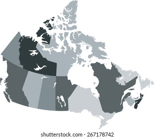
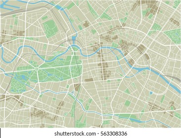
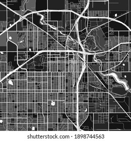
4899 maps PNG and SVG design graphic
Download maps PNG & SVG Designs with transparent background for T-Shirts, book covers, phone cases and other merch.
Related:
world maps
,
base maps
,
world livestock maps
Sort by
Most relevant
Sponsored results by
Get 15% off with code: VEXELS15
Show more
Premium
Four playing cards with a heart in the middle PNG Design
Choose a folder
All favorites
Create new
Save
Four playing cards with a heart in the middle PNG Design
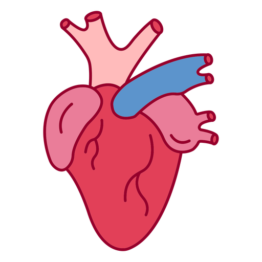
Human heart color stroke PNG Design
Choose a folder
All favorites
Create new
Save
Human heart color stroke PNG Design
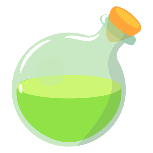
Magical potion round bottle PNG Design
Choose a folder
All favorites
Create new
Save
Magical potion round bottle PNG Design
Vintage television cut out PNG Design
Choose a folder
All favorites
Create new
Save
Vintage television cut out PNG Design
Traditional el salvador dark design PNG Design
Choose a folder
All favorites
Create new
Save
Traditional el salvador dark design PNG Design
Growing seed icon PNG Design
Choose a folder
All favorites
Create new
Save
Growing seed icon PNG Design
Premium
Cute scientist character PNG Design
Choose a folder
All favorites
Create new
Save
Cute scientist character PNG Design
Premium
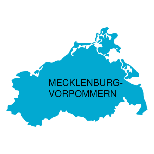
Mecklenburg west pomerania state map PNG Design
Choose a folder
All favorites
Create new
Save
Mecklenburg west pomerania state map PNG Design
Premium
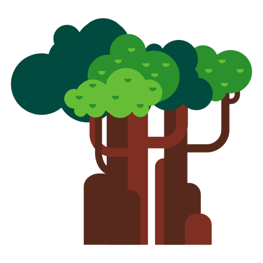
Trees woods nature PNG Design
Choose a folder
All favorites
Create new
Save
Trees woods nature PNG Design
Premium
Floating elemets purple blue PNG Design
Choose a folder
All favorites
Create new
Save
Floating elemets purple blue PNG Design
Premium
Mountain climbing hiking illustration badge PNG Design
Choose a folder
All favorites
Create new
Save
Mountain climbing hiking illustration badge PNG Design
Premium
Ajaria national flag PNG Design
Choose a folder
All favorites
Create new
Save
Ajaria national flag PNG Design
Happy mind color stroke PNG Design
Choose a folder
All favorites
Create new
Save
Happy mind color stroke PNG Design
Brain in head color stroke PNG Design
Choose a folder
All favorites
Create new
Save
Brain in head color stroke PNG Design
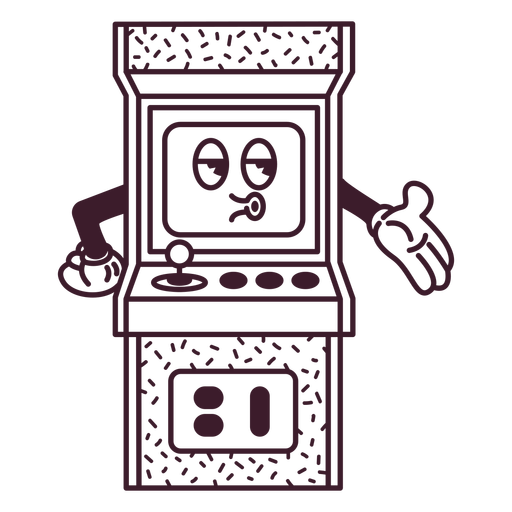
Arcade filled stroke PNG Design
Choose a folder
All favorites
Create new
Save
Arcade filled stroke PNG Design
Salt and pepper shakers silhouette PNG Design
Choose a folder
All favorites
Create new
Save
Salt and pepper shakers silhouette PNG Design
Magic wand flat PNG Design
Choose a folder
All favorites
Create new
Save
Magic wand flat PNG Design
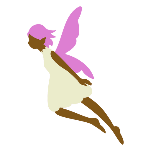
Purple fairy flat PNG Design
Choose a folder
All favorites
Create new
Save
Purple fairy flat PNG Design
Ship anchor ribbon PNG Design
Choose a folder
All favorites
Create new
Save
Ship anchor ribbon PNG Design
Canada day badge PNG Design
Choose a folder
All favorites
Create new
Save
Canada day badge PNG Design
Premium
Geography globe flat school icon PNG Design
Choose a folder
All favorites
Create new
Save
Geography globe flat school icon PNG Design
Premium
Map location pin doodle icon PNG Design
Choose a folder
All favorites
Create new
Save
Map location pin doodle icon PNG Design
Premium
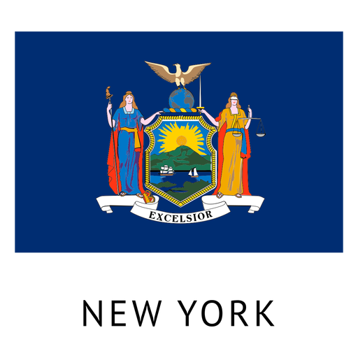
New york state flag PNG Design
Choose a folder
All favorites
Create new
Save
New york state flag PNG Design
Premium
Semicircle shape PNG Design
Choose a folder
All favorites
Create new
Save
Semicircle shape PNG Design
Dressed snowman stroke PNG Design
Choose a folder
All favorites
Create new
Save
Dressed snowman stroke PNG Design
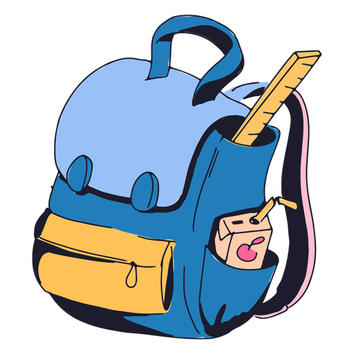
Blue backpack color stroke PNG Design
Choose a folder
All favorites
Create new
Save
Blue backpack color stroke PNG Design
Tools semi flat PNG Design
Choose a folder
All favorites
Create new
Save
Tools semi flat PNG Design
Spyglass flat PNG Design
Choose a folder
All favorites
Create new
Save
Spyglass flat PNG Design
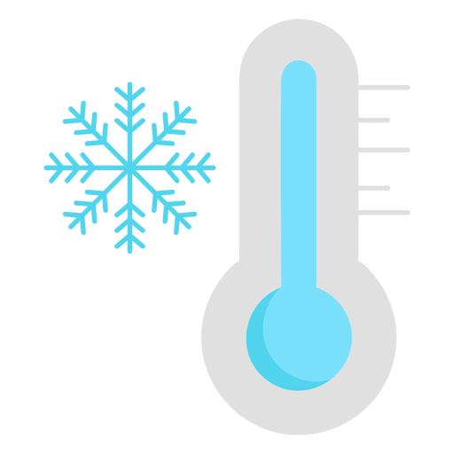
Cold temperature snowflake PNG Design
Choose a folder
All favorites
Create new
Save
Cold temperature snowflake PNG Design
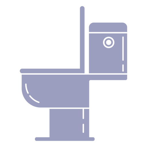
Toilet cut out PNG Design
Choose a folder
All favorites
Create new
Save
Toilet cut out PNG Design
Pluto never forget badge PNG Design
Choose a folder
All favorites
Create new
Save
Pluto never forget badge PNG Design
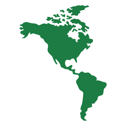
America map silhouette PNG Design
Choose a folder
All favorites
Create new
Save
America map silhouette PNG Design
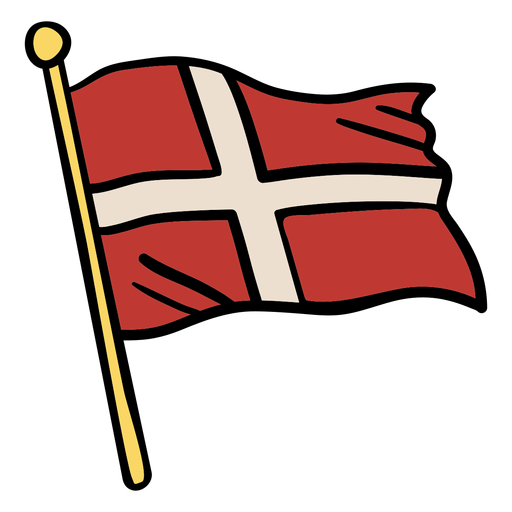
Waving flag denmark illustration PNG Design
Choose a folder
All favorites
Create new
Save
Waving flag denmark illustration PNG Design
Cute south korean lady with hanbok character PNG Design
Choose a folder
All favorites
Create new
Save
Cute south korean lady with hanbok character PNG Design
Colorful earth planet stroke PNG Design
Choose a folder
All favorites
Create new
Save
Colorful earth planet stroke PNG Design
Premium
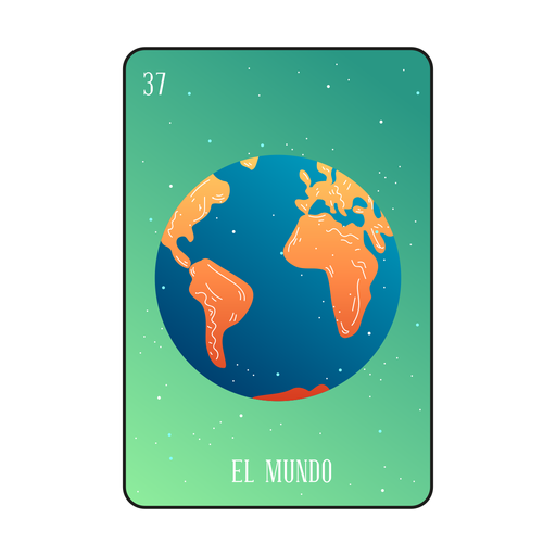
Loteria earth card PNG Design
Choose a folder
All favorites
Create new
Save
Loteria earth card PNG Design
Premium
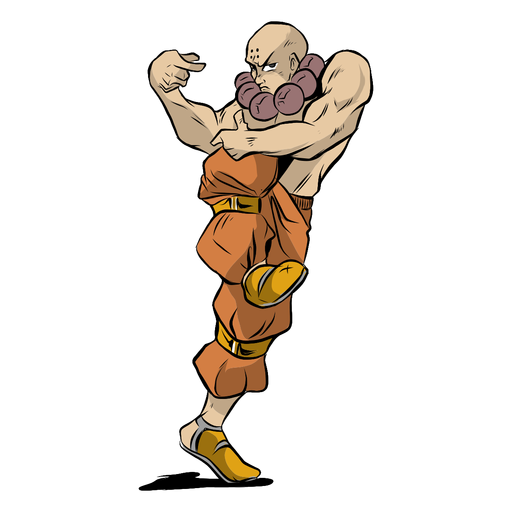
Monk athlete muscle pose gaze illustration PNG Design
Choose a folder
All favorites
Create new
Save
Monk athlete muscle pose gaze illustration PNG Design
Premium
Netherlands flag badge PNG Design
Choose a folder
All favorites
Create new
Save
Netherlands flag badge PNG Design
Water day globe icon PNG Design
Choose a folder
All favorites
Create new
Save
Water day globe icon PNG Design
Premium
Daisy flower icon doodle PNG Design
Choose a folder
All favorites
Create new
Save
Daisy flower icon doodle PNG Design
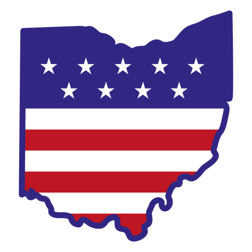
Ohio color stroke states PNG Design
Choose a folder
All favorites
Create new
Save
Ohio color stroke states PNG Design
Bull skull silhouette PNG Design
Choose a folder
All favorites
Create new
Save
Bull skull silhouette PNG Design
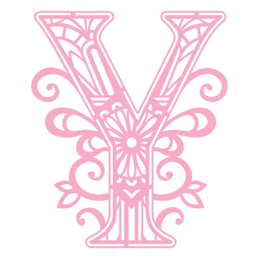
Pink letter Y mandala PNG Design
Choose a folder
All favorites
Create new
Save
Pink letter Y mandala PNG Design
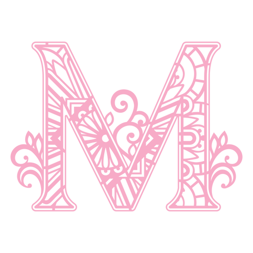
Pink letter M mandala design PNG Design
Choose a folder
All favorites
Create new
Save
Pink letter M mandala design PNG Design
Rolling pin filled stroke PNG Design
Choose a folder
All favorites
Create new
Save
Rolling pin filled stroke PNG Design
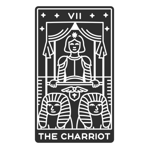
Tarot card the charriot cut out PNG Design
Choose a folder
All favorites
Create new
Save
Tarot card the charriot cut out PNG Design
Pink yoga mat meditation PNG Design
Choose a folder
All favorites
Create new
Save
Pink yoga mat meditation PNG Design
Pair of gardening gloves PNG Design
Choose a folder
All favorites
Create new
Save
Pair of gardening gloves PNG Design
Open bible stroke PNG Design
Choose a folder
All favorites
Create new
Save
Open bible stroke PNG Design
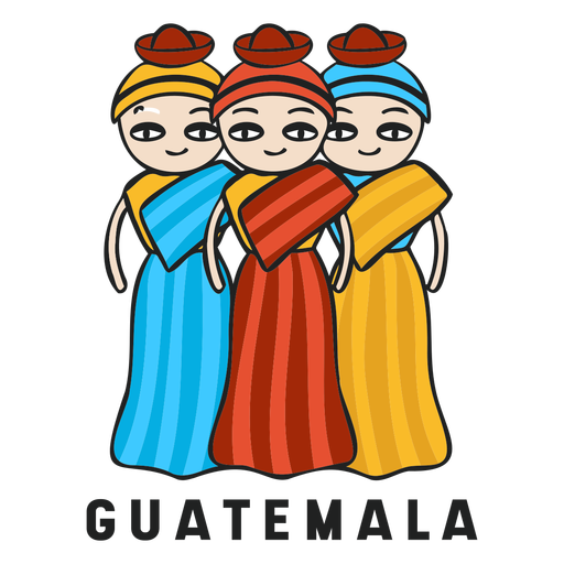
Muneca quitapena guatemala flat PNG Design
Choose a folder
All favorites
Create new
Save
Muneca quitapena guatemala flat PNG Design
Boost Your Business
With The Leading Graphic Platform For Merch.
SEE PLANS
Next
of 98
prev page
next page