Design Library
New Merch Designs
T-Shirts
Vectors
Trending Merch Designs
PNGs & SVGs
Mockups
T-Shirt PSD Templates
Explore Designs
KDP Designs
Posters
Mugs
Phone Cases
Tote Bags
Pillows
Design Tools
Merch Designer
New!
Mockup Generator
AI Design Generator
Image Vectorizer
Quote Generator
T-Shirt Maker (Old)
Resources
Merch Digest
Blog
Help Center
Learn About Merch
Feedback
Corporate Solutions
Enterprise
API Access
Design Studio
Bulk Design Production
Pricing
Loading...
Sign Up
Login
PNGs For Merch
maps
Design Library
New Merch Designs
T-Shirts
Vectors
Trending Merch Designs
PNGs & SVGs
Mockups
T-Shirt PSD Templates
Explore Designs
KDP Designs
Posters
Mugs
Phone Cases
Tote Bags
Pillows
Design Tools
Merch Designer
New!
Mockup Generator
AI Design Generator
Image Vectorizer
Quote Generator
T-Shirt Maker (Old)
Resources
Merch Digest
Blog
Help Center
Learn About Merch
Feedback
Corporate Solutions
Enterprise
API Access
Design Studio
Bulk Design Production
PLANS
PNGs For Merch
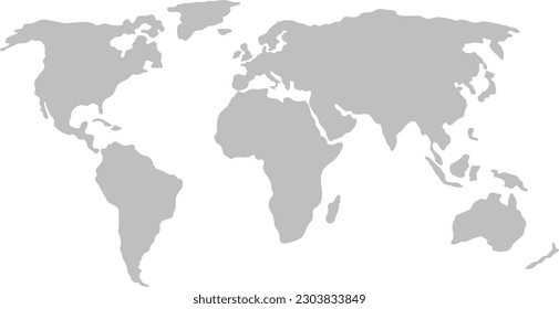
maps
4898 maps PNG and SVG design graphic
Download maps PNG & SVG Designs with transparent background for T-Shirts, book covers, phone cases and other merch.
Related:
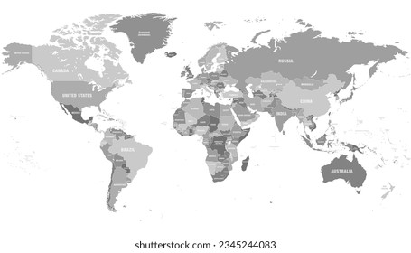
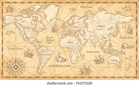
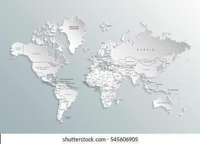
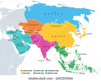
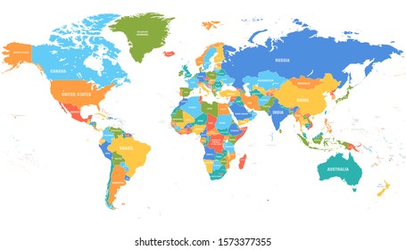
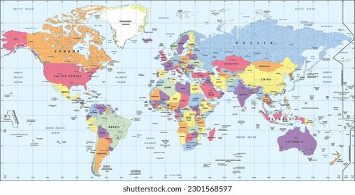
world maps
,
base maps
,
world livestock maps
Sort by
Most relevant
Sponsored results by
Get 15% off with code: VEXELS15
Show more
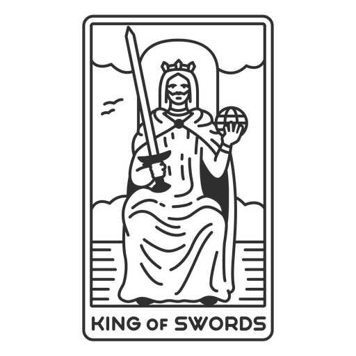
Tarot card king of swords filled stroke PNG Design
Choose a folder
All favorites
Create new
Save
Tarot card king of swords filled stroke PNG Design
Premium
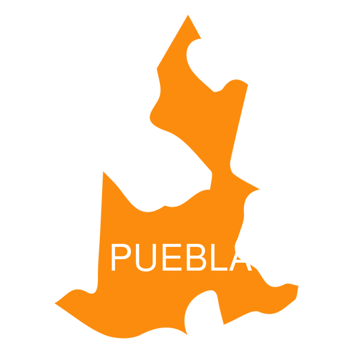
Puebla state map PNG Design
Choose a folder
All favorites
Create new
Save
Puebla state map PNG Design
Premium
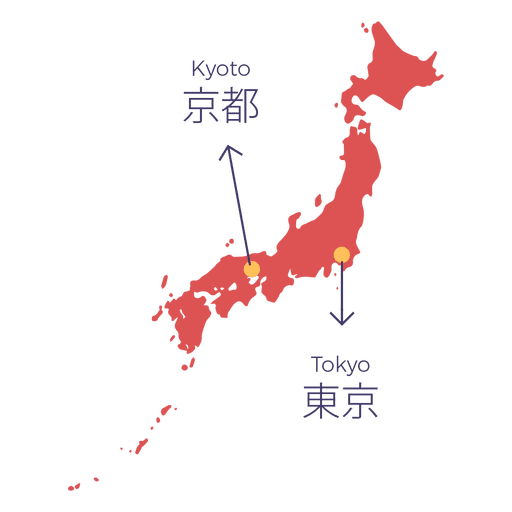
Japan map capital PNG Design
Choose a folder
All favorites
Create new
Save
Japan map capital PNG Design
Premium
Karate front kick Stretch PNG Design
Choose a folder
All favorites
Create new
Save
Karate front kick Stretch PNG Design
Premium
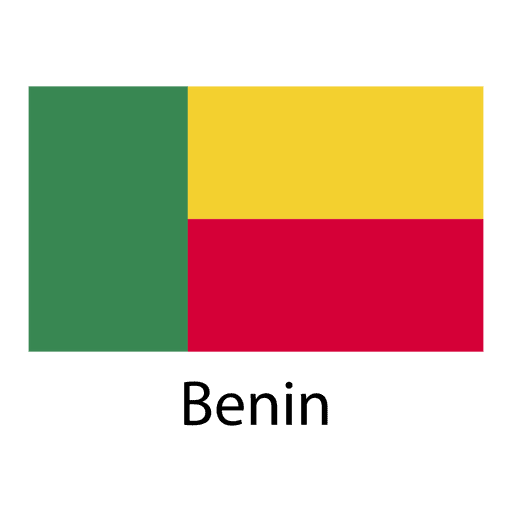
Benin national flag PNG Design
Choose a folder
All favorites
Create new
Save
Benin national flag PNG Design
Premium
Luxembourg national flag PNG Design
Choose a folder
All favorites
Create new
Save
Luxembourg national flag PNG Design
Washington usa map silhouette PNG Design
Choose a folder
All favorites
Create new
Save
Washington usa map silhouette PNG Design
Wash machine colorful icon PNG Design
Choose a folder
All favorites
Create new
Save
Wash machine colorful icon PNG Design
Premium
Flipped label PNG Design
Choose a folder
All favorites
Create new
Save
Flipped label PNG Design
Premium
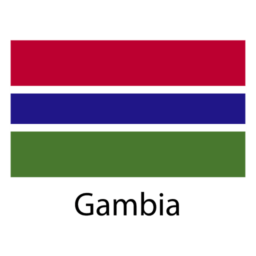
Gambia national flag PNG Design
Choose a folder
All favorites
Create new
Save
Gambia national flag PNG Design
Premium
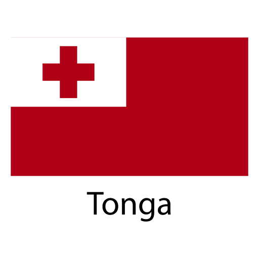
Tonga national flag PNG Design
Choose a folder
All favorites
Create new
Save
Tonga national flag PNG Design
Paper boat hand drawn PNG Design
Choose a folder
All favorites
Create new
Save
Paper boat hand drawn PNG Design
Premium
Guanajuato state map PNG Design
Choose a folder
All favorites
Create new
Save
Guanajuato state map PNG Design
Premium
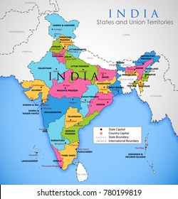
Kerala state map PNG Design
Choose a folder
All favorites
Create new
Save
Kerala state map PNG Design
Premium
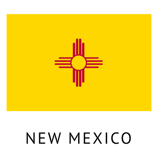
New mexico state flag PNG Design
Choose a folder
All favorites
Create new
Save
New mexico state flag PNG Design
Premium
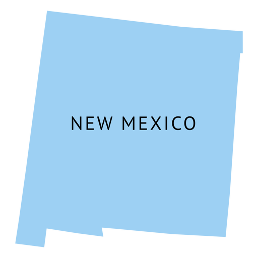
New mexico state plain map PNG Design
Choose a folder
All favorites
Create new
Save
New mexico state plain map PNG Design
Premium
Recycle earth badge PNG Design
Choose a folder
All favorites
Create new
Save
Recycle earth badge PNG Design
Premium
Afghanistan national flag PNG Design
Choose a folder
All favorites
Create new
Save
Afghanistan national flag PNG Design
Premium
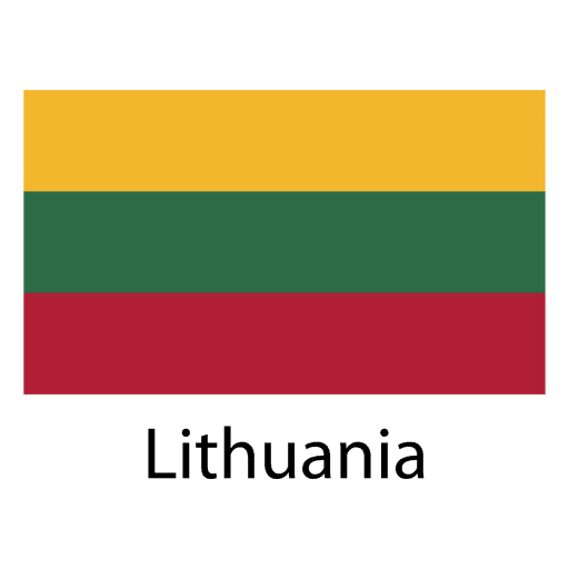
Lithuania national flag PNG Design
Choose a folder
All favorites
Create new
Save
Lithuania national flag PNG Design
Premium
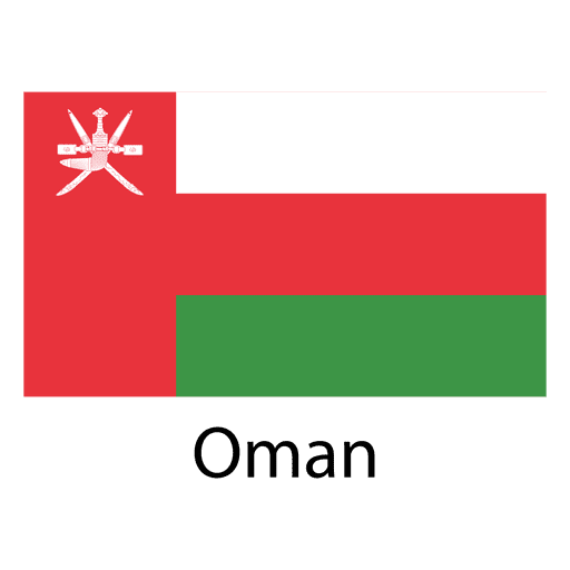
Oman national flag PNG Design
Choose a folder
All favorites
Create new
Save
Oman national flag PNG Design
Minnesota usa map silhouette PNG Design
Choose a folder
All favorites
Create new
Save
Minnesota usa map silhouette PNG Design
California usa map silhouette PNG Design
Choose a folder
All favorites
Create new
Save
California usa map silhouette PNG Design
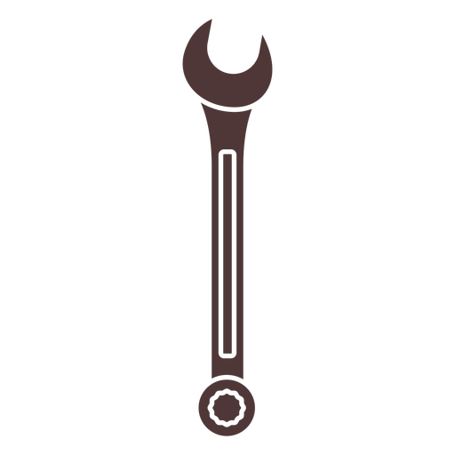
Wrench cut out PNG Design
Choose a folder
All favorites
Create new
Save
Wrench cut out PNG Design
Premium
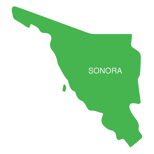
Sonora state map PNG Design
Choose a folder
All favorites
Create new
Save
Sonora state map PNG Design
Premium
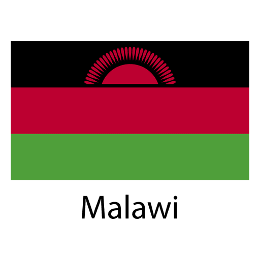
Malawi national flag PNG Design
Choose a folder
All favorites
Create new
Save
Malawi national flag PNG Design
Premium
Lübeck German city skyline PNG Design
Choose a folder
All favorites
Create new
Save
Lübeck German city skyline PNG Design
Premium
Rostock German city skyline PNG Design
Choose a folder
All favorites
Create new
Save
Rostock German city skyline PNG Design
Maine usa map silhouette PNG Design
Choose a folder
All favorites
Create new
Save
Maine usa map silhouette PNG Design
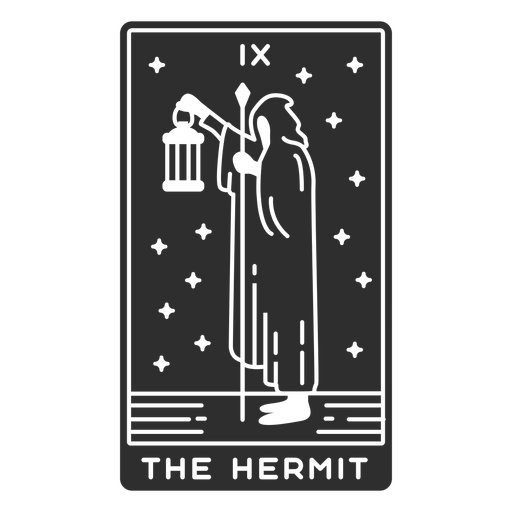
Tarot card the hermit cut out PNG Design
Choose a folder
All favorites
Create new
Save
Tarot card the hermit cut out PNG Design
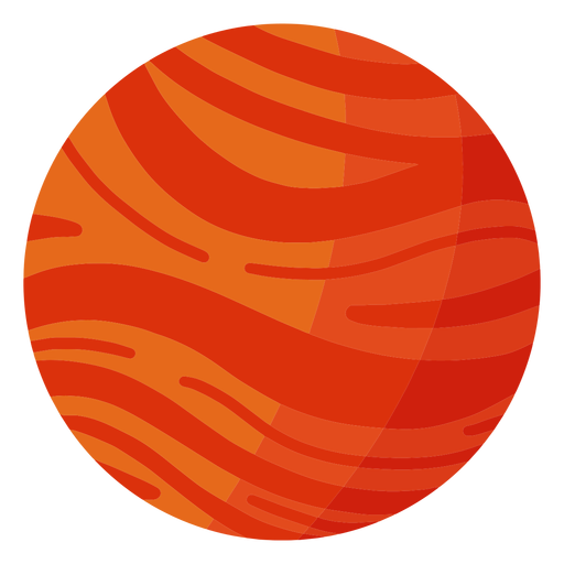
Mars planet illustration PNG Design
Choose a folder
All favorites
Create new
Save
Mars planet illustration PNG Design
Premium
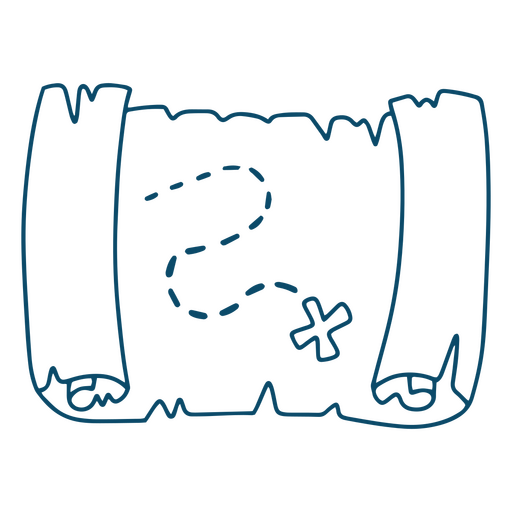
Treasure map for coloring PNG Design
Choose a folder
All favorites
Create new
Save
Treasure map for coloring PNG Design
Tennessee usa map silhouette PNG Design
Choose a folder
All favorites
Create new
Save
Tennessee usa map silhouette PNG Design
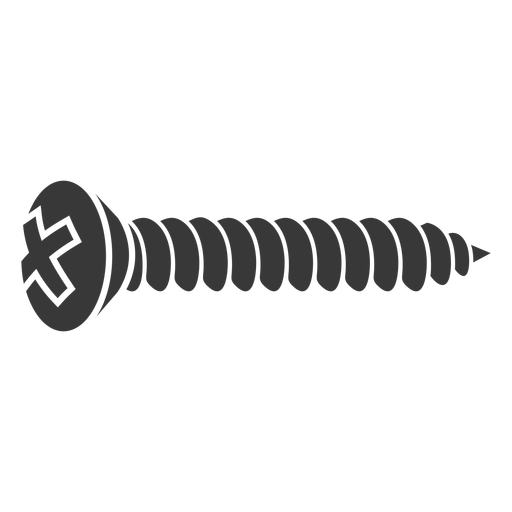
Black sheet metal screw cut out PNG Design
Choose a folder
All favorites
Create new
Save
Black sheet metal screw cut out PNG Design
Premium
Airplane passengers flight PNG Design
Choose a folder
All favorites
Create new
Save
Airplane passengers flight PNG Design
Premium
Bosnia and herzegovina national flag PNG Design
Choose a folder
All favorites
Create new
Save
Bosnia and herzegovina national flag PNG Design
Premium
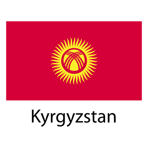
Kyrgyzstan national flag PNG Design
Choose a folder
All favorites
Create new
Save
Kyrgyzstan national flag PNG Design
Premium
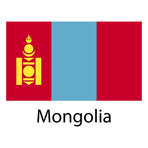
Mongolia national flag PNG Design
Choose a folder
All favorites
Create new
Save
Mongolia national flag PNG Design
Missouri usa map silhouette PNG Design
Choose a folder
All favorites
Create new
Save
Missouri usa map silhouette PNG Design
Michigan state stroke map PNG Design
Choose a folder
All favorites
Create new
Save
Michigan state stroke map PNG Design
Premium
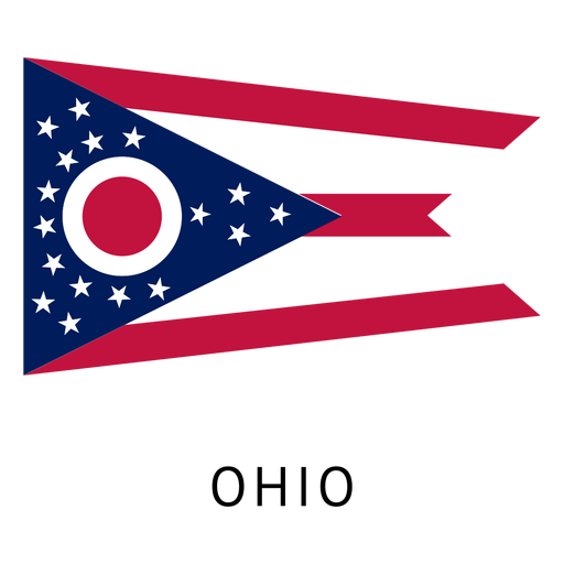
Ohio state flag PNG Design
Choose a folder
All favorites
Create new
Save
Ohio state flag PNG Design
Premium
Brazil flag badge PNG Design
Choose a folder
All favorites
Create new
Save
Brazil flag badge PNG Design
Premium
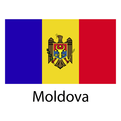
Moldova national flag PNG Design
Choose a folder
All favorites
Create new
Save
Moldova national flag PNG Design
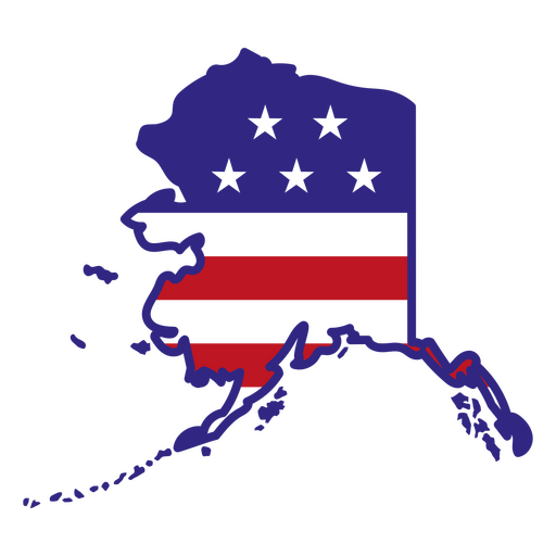
Alaska color stroke states PNG Design
Choose a folder
All favorites
Create new
Save
Alaska color stroke states PNG Design
Maryland usa map silhouette PNG Design
Choose a folder
All favorites
Create new
Save
Maryland usa map silhouette PNG Design
Wisconsin usa map silhouette PNG Design
Choose a folder
All favorites
Create new
Save
Wisconsin usa map silhouette PNG Design
Utah state stroke map PNG Design
Choose a folder
All favorites
Create new
Save
Utah state stroke map PNG Design
Brain and flowers stroke PNG Design
Choose a folder
All favorites
Create new
Save
Brain and flowers stroke PNG Design
Keep up the good work bage PNG Design
Choose a folder
All favorites
Create new
Save
Keep up the good work bage PNG Design
Bible book christianity PNG Design
Choose a folder
All favorites
Create new
Save
Bible book christianity PNG Design
Lavender flower hand drawn PNG Design
Choose a folder
All favorites
Create new
Save
Lavender flower hand drawn PNG Design
Boost Your Business
With The Leading Graphic Platform For Merch.
SEE PLANS
Next
of 98
prev page
next page