Design Library
New Merch Designs
T-Shirts
Vectors
Trending Merch Designs
PNGs & SVGs
Mockups
T-Shirt PSD Templates
Explore Designs
KDP Designs
Posters
Mugs
Phone Cases
Tote Bags
Pillows
Design Tools
Merch Designer
New!
Mockup Generator
AI Design Generator
Image Vectorizer
Quote Generator
T-Shirt Maker (Old)
Resources
Merch Digest
Blog
Help Center
Learn About Merch
Feedback
Corporate Solutions
Enterprise
API Access
Design Studio
Bulk Design Production
Pricing
Loading...
Sign Up
Login
PNGs For Merch
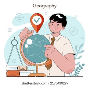
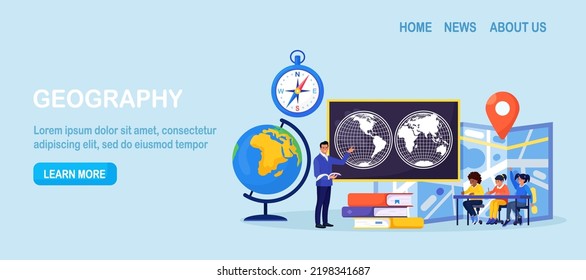
geografia
Design Library
New Merch Designs
T-Shirts
Vectors
Trending Merch Designs
PNGs & SVGs
Mockups
T-Shirt PSD Templates
Explore Designs
KDP Designs
Posters
Mugs
Phone Cases
Tote Bags
Pillows
Design Tools
Merch Designer
New!
Mockup Generator
AI Design Generator
Image Vectorizer
Quote Generator
T-Shirt Maker (Old)
Resources
Merch Digest
Blog
Help Center
Learn About Merch
Feedback
Corporate Solutions
Enterprise
API Access
Design Studio
Bulk Design Production
PLANS
PNGs For Merch
geografia
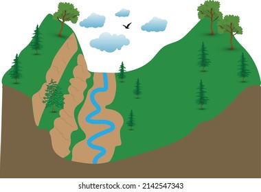
682 geografia PNG and SVG design graphic
Download geografia PNG & SVG Designs with transparent background for T-Shirts, book covers, phone cases and other merch.
Sort by
Most relevant
Sponsored results by
Get 15% off with code: VEXELS15
Show more
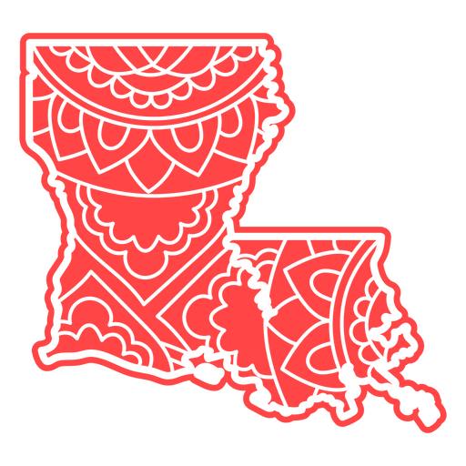
Louisiana mandala states PNG Design
Choose a folder
All favorites
Create new
Save
Louisiana mandala states PNG Design
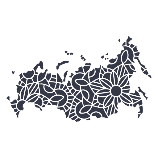
Russia map silhouette mandala cut out PNG Design
Choose a folder
All favorites
Create new
Save
Russia map silhouette mandala cut out PNG Design
Hong Kong map silhouette mandala stroke PNG Design
Choose a folder
All favorites
Create new
Save
Hong Kong map silhouette mandala stroke PNG Design
Premium
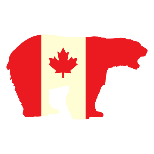
Polar bear with canada flag flat PNG Design
Choose a folder
All favorites
Create new
Save
Polar bear with canada flag flat PNG Design
Premium
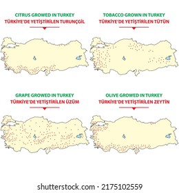
Waving turkey pennant flat PNG Design
Choose a folder
All favorites
Create new
Save
Waving turkey pennant flat PNG Design
United kingdom flag PNG Design
Choose a folder
All favorites
Create new
Save
United kingdom flag PNG Design
Michigan duotone states PNG Design
Choose a folder
All favorites
Create new
Save
Michigan duotone states PNG Design
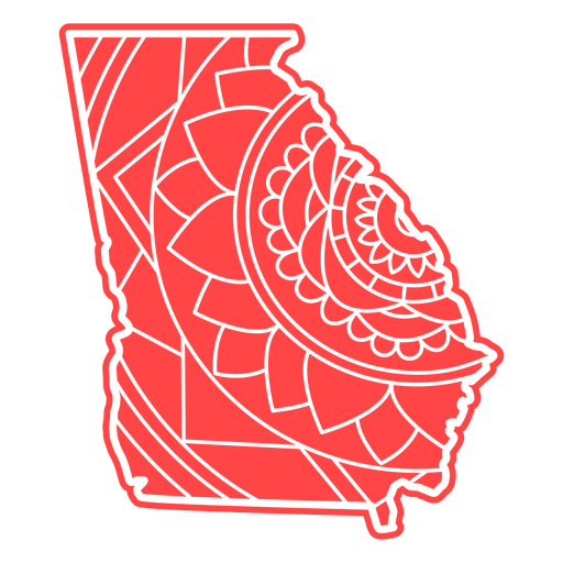
Georgia mandala states PNG Design
Choose a folder
All favorites
Create new
Save
Georgia mandala states PNG Design
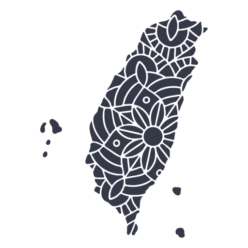
Taiwan map silhouette mandala cut out PNG Design
Choose a folder
All favorites
Create new
Save
Taiwan map silhouette mandala cut out PNG Design
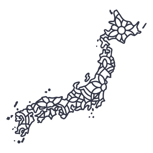
Japan map silhouette mandala stroke PNG Design
Choose a folder
All favorites
Create new
Save
Japan map silhouette mandala stroke PNG Design
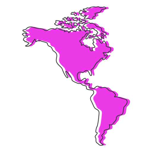
America map flat PNG Design
Choose a folder
All favorites
Create new
Save
America map flat PNG Design
Yellow globe flat PNG Design
Choose a folder
All favorites
Create new
Save
Yellow globe flat PNG Design
Premium
The state of oklahoma map in green PNG Design
Choose a folder
All favorites
Create new
Save
The state of oklahoma map in green PNG Design
Maryland duotone states PNG Design
Choose a folder
All favorites
Create new
Save
Maryland duotone states PNG Design
Georgia geometric states PNG Design
Choose a folder
All favorites
Create new
Save
Georgia geometric states PNG Design
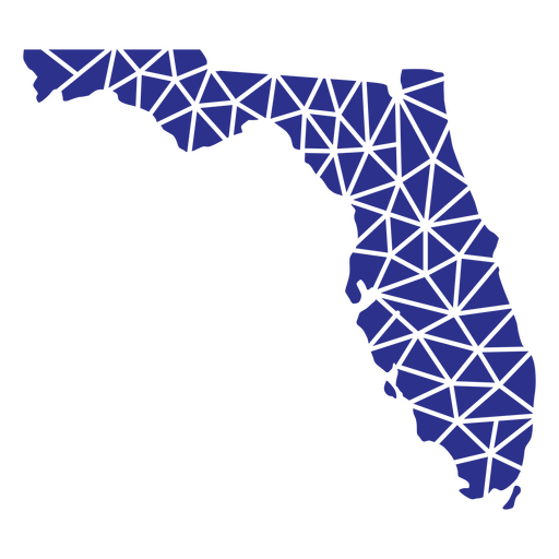
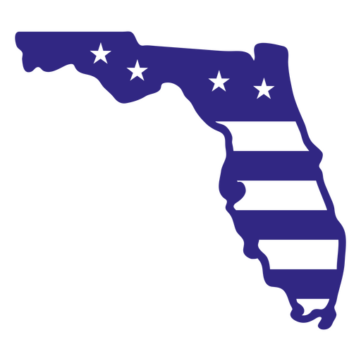
Florida geometric states PNG Design
Choose a folder
All favorites
Create new
Save
Florida geometric states PNG Design
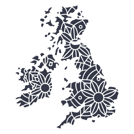
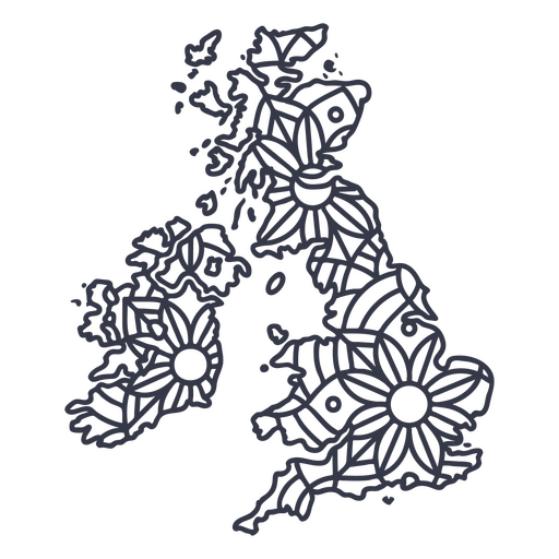
United Kingdom map silhouette mandala cut out PNG Design
Choose a folder
All favorites
Create new
Save
United Kingdom map silhouette mandala cut out PNG Design
New hampshire duotone states PNG Design
Choose a folder
All favorites
Create new
Save
New hampshire duotone states PNG Design
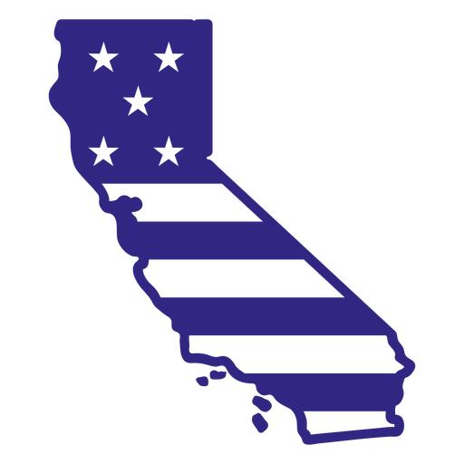
States mandala california PNG Design
Choose a folder
All favorites
Create new
Save
States mandala california PNG Design
United kingdom map silhouette mandala stroke PNG Design
Choose a folder
All favorites
Create new
Save
United kingdom map silhouette mandala stroke PNG Design
Premium
Waving turkey flag stroke PNG Design
Choose a folder
All favorites
Create new
Save
Waving turkey flag stroke PNG Design
Premium
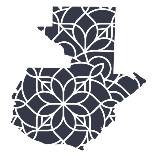
Guatemala's mandala map PNG Design
Choose a folder
All favorites
Create new
Save
Guatemala's mandala map PNG Design
A silhouette of the map of Sweden PNG Design
Choose a folder
All favorites
Create new
Save
A silhouette of the map of Sweden PNG Design
A silhouette of the map of Israel PNG Design
Choose a folder
All favorites
Create new
Save
A silhouette of the map of Israel PNG Design
Australia Mandala Stroke Map PNG Design
Choose a folder
All favorites
Create new
Save
Australia Mandala Stroke Map PNG Design
Florida duotone states PNG Design
Choose a folder
All favorites
Create new
Save
Florida duotone states PNG Design
Arizona duotone states PNG Design
Choose a folder
All favorites
Create new
Save
Arizona duotone states PNG Design
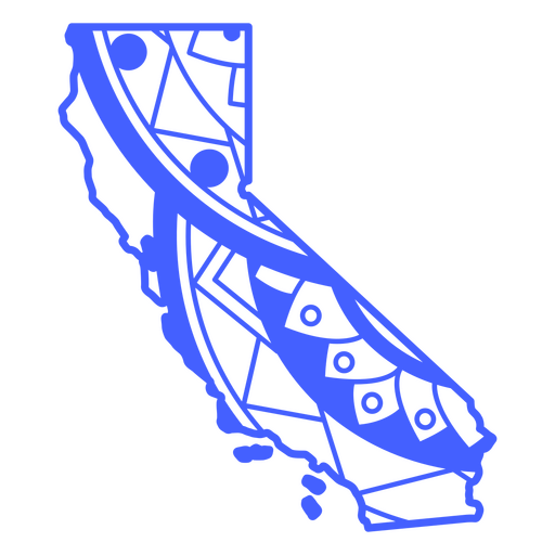
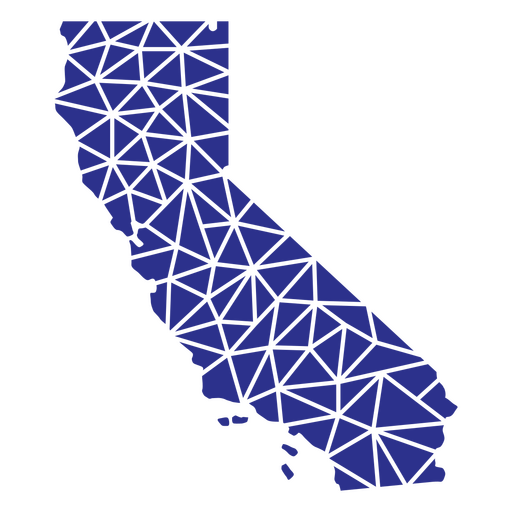
California geometric states PNG Design
Choose a folder
All favorites
Create new
Save
California geometric states PNG Design
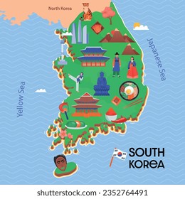
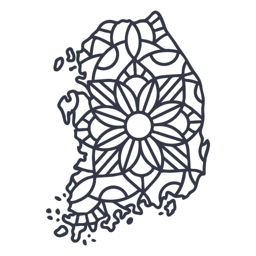
South Korea map silhouette mandala stroke PNG Design
Choose a folder
All favorites
Create new
Save
South Korea map silhouette mandala stroke PNG Design
South carolina duotone states PNG Design
Choose a folder
All favorites
Create new
Save
South carolina duotone states PNG Design
California duotone states PNG Design
Choose a folder
All favorites
Create new
Save
California duotone states PNG Design
North dakota color stroke states PNG Design
Choose a folder
All favorites
Create new
Save
North dakota color stroke states PNG Design
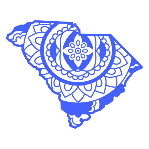
South carolina mandala states PNG Design
Choose a folder
All favorites
Create new
Save
South carolina mandala states PNG Design
Filled stroke compass open PNG Design
Choose a folder
All favorites
Create new
Save
Filled stroke compass open PNG Design
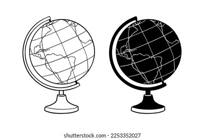
Cute earth globe cartoon PNG Design
Choose a folder
All favorites
Create new
Save
Cute earth globe cartoon PNG Design
Earth globe hand drawn PNG Design
Choose a folder
All favorites
Create new
Save
Earth globe hand drawn PNG Design
Cardinal points stroke icon PNG Design
Choose a folder
All favorites
Create new
Save
Cardinal points stroke icon PNG Design
Map stroke icon PNG Design
Choose a folder
All favorites
Create new
Save
Map stroke icon PNG Design
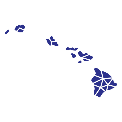
Hawaii geometric states PNG Design
Choose a folder
All favorites
Create new
Save
Hawaii geometric states PNG Design
Waving country flag flag PNG Design
Choose a folder
All favorites
Create new
Save
Waving country flag flag PNG Design
Globe flat icon PNG Design
Choose a folder
All favorites
Create new
Save
Globe flat icon PNG Design
Premium
Windrose arrow nord west south east flat PNG Design
Choose a folder
All favorites
Create new
Save
Windrose arrow nord west south east flat PNG Design
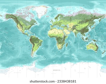
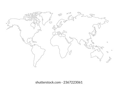
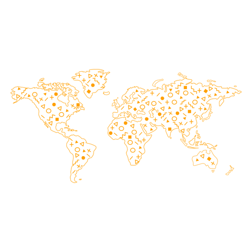
World map stroke PNG Design
Choose a folder
All favorites
Create new
Save
World map stroke PNG Design
World globe cute PNG Design
Choose a folder
All favorites
Create new
Save
World globe cute PNG Design
Premium
Windrose arrow west east nord south silhouette PNG Design
Choose a folder
All favorites
Create new
Save
Windrose arrow west east nord south silhouette PNG Design
A silhouette of the map of the United Arab Emirates PNG Design
Choose a folder
All favorites
Create new
Save
A silhouette of the map of the United Arab Emirates PNG Design
Washington duotone states PNG Design
Choose a folder
All favorites
Create new
Save
Washington duotone states PNG Design
Wyoming duotone states PNG Design
Choose a folder
All favorites
Create new
Save
Wyoming duotone states PNG Design
Connecticut duotone states PNG Design
Choose a folder
All favorites
Create new
Save
Connecticut duotone states PNG Design
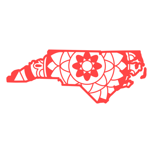
North carolina mandala states PNG Design
Choose a folder
All favorites
Create new
Save
North carolina mandala states PNG Design
Boost Your Business
With The Leading Graphic Platform For Merch.
SEE PLANS
Next
of 14
prev page
next page