Design Library
New Merch Designs
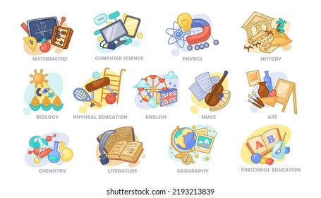
T-Shirts
Vectors
Trending Merch Designs
PNGs & SVGs
Mockups
T-Shirt PSD Templates
Explore Designs
KDP Designs
Posters
Mugs
Phone Cases
Tote Bags
Pillows
Design Tools
Merch Designer
New!
Mockup Generator
AI Design Generator
Image Vectorizer
Quote Generator
T-Shirt Maker (Old)
Resources
Merch Digest
Blog
Help Center
Learn About Merch
Feedback
Corporate Solutions
Enterprise
API Access
Design Studio
Bulk Design Production
Pricing
Loading...
Sign Up
Login
PNGs For Merch
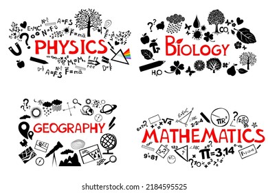
geografia
Design Library
New Merch Designs
T-Shirts
Vectors
Trending Merch Designs
PNGs & SVGs
Mockups
T-Shirt PSD Templates
Explore Designs
KDP Designs
Posters
Mugs
Phone Cases
Tote Bags
Pillows
Design Tools
Merch Designer
New!
Mockup Generator
AI Design Generator
Image Vectorizer
Quote Generator
T-Shirt Maker (Old)
Resources
Merch Digest
Blog
Help Center
Learn About Merch
Feedback
Corporate Solutions
Enterprise
API Access
Design Studio
Bulk Design Production
PLANS
PNGs For Merch
geografia
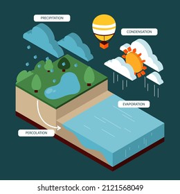
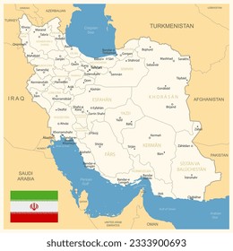
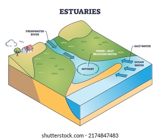
682 geografia PNG and SVG design graphic
Download geografia PNG & SVG Designs with transparent background for T-Shirts, book covers, phone cases and other merch.
Sort by
Most relevant
Sponsored results by
Get 15% off with code: VEXELS15
Show more
Montana duotone states PNG Design
Choose a folder
All favorites
Create new
Save
Montana duotone states PNG Design
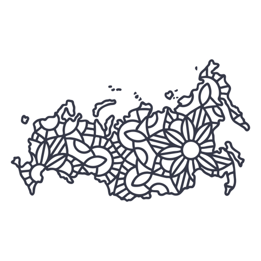
Russia map silhouette mandala stroke PNG Design
Choose a folder
All favorites
Create new
Save
Russia map silhouette mandala stroke PNG Design
Wisconsin duotone states PNG Design
Choose a folder
All favorites
Create new
Save
Wisconsin duotone states PNG Design
Oklahoma duotone states PNG Design
Choose a folder
All favorites
Create new
Save
Oklahoma duotone states PNG Design
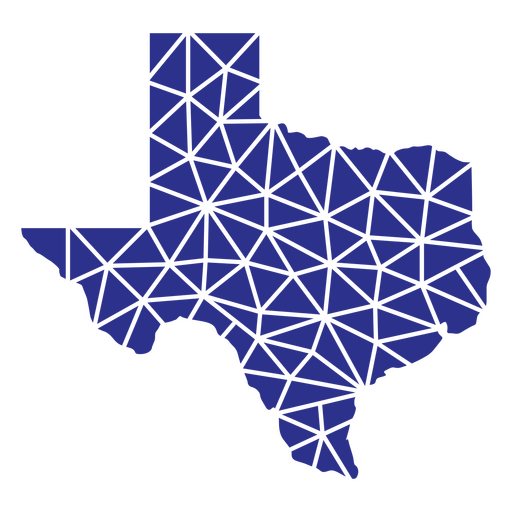
Texas geometric states PNG Design
Choose a folder
All favorites
Create new
Save
Texas geometric states PNG Design
West virginia geometric states PNG Design
Choose a folder
All favorites
Create new
Save
West virginia geometric states PNG Design
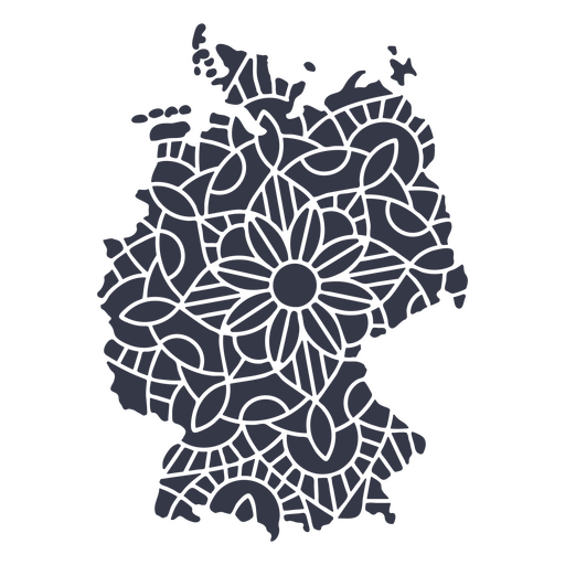
Germany map silhouette mandala cut out PNG Design
Choose a folder
All favorites
Create new
Save
Germany map silhouette mandala cut out PNG Design
Ladder step ladder height planet earth continent flat raise PNG Design
Choose a folder
All favorites
Create new
Save
Ladder step ladder height planet earth continent flat raise PNG Design
A silhouette of the map of Austria PNG Design
Choose a folder
All favorites
Create new
Save
A silhouette of the map of Austria PNG Design
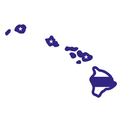
Hawaii duotone states PNG Design
Choose a folder
All favorites
Create new
Save
Hawaii duotone states PNG Design
States duotone kansas PNG Design
Choose a folder
All favorites
Create new
Save
States duotone kansas PNG Design
Mississippi duotone states PNG Design
Choose a folder
All favorites
Create new
Save
Mississippi duotone states PNG Design
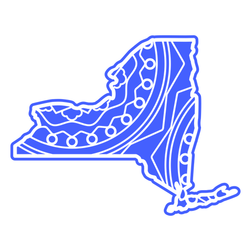
New york mandala states PNG Design
Choose a folder
All favorites
Create new
Save
New york mandala states PNG Design
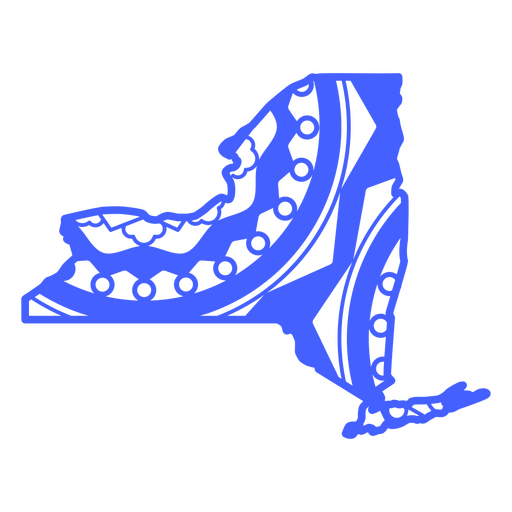
States mandala new york PNG Design
Choose a folder
All favorites
Create new
Save
States mandala new york PNG Design
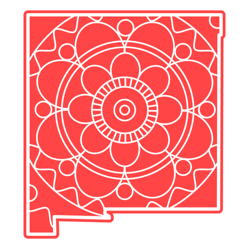
New mexico mandala states PNG Design
Choose a folder
All favorites
Create new
Save
New mexico mandala states PNG Design
School globe flat icon school PNG Design
Choose a folder
All favorites
Create new
Save
School globe flat icon school PNG Design
Premium
Windrose arrow west nord south east flat PNG Design
Choose a folder
All favorites
Create new
Save
Windrose arrow west nord south east flat PNG Design
Premium
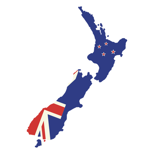
Map of New Zealand with the british flag PNG Design
Choose a folder
All favorites
Create new
Save
Map of New Zealand with the british flag PNG Design
Premium
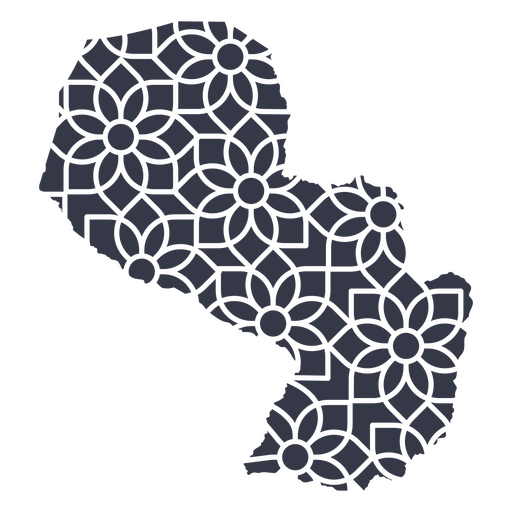
Paraguay's mandala map PNG Design
Choose a folder
All favorites
Create new
Save
Paraguay's mandala map PNG Design
Premium
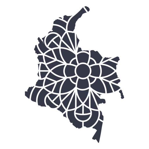
Colombia's mandala map PNG Design
Choose a folder
All favorites
Create new
Save
Colombia's mandala map PNG Design
Premium
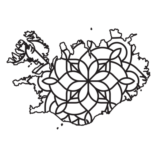
Mandala-style map shaped like Iceland PNG Design
Choose a folder
All favorites
Create new
Save
Mandala-style map shaped like Iceland PNG Design
A silhouette of the map of Peru PNG Design
Choose a folder
All favorites
Create new
Save
A silhouette of the map of Peru PNG Design
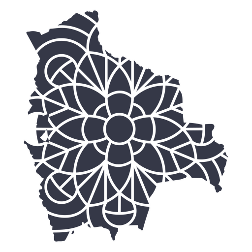
A silhouette of the map of Bolivia PNG Design
Choose a folder
All favorites
Create new
Save
A silhouette of the map of Bolivia PNG Design
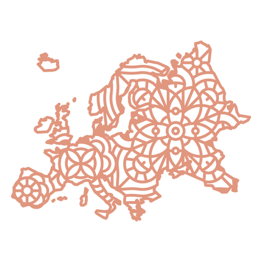
Europe Geometric Map PNG Design
Choose a folder
All favorites
Create new
Save
Europe Geometric Map PNG Design
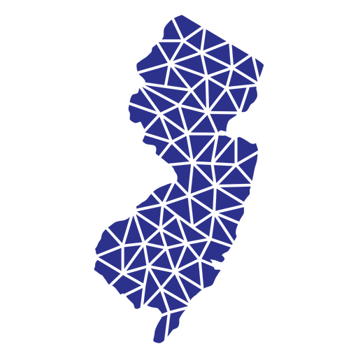
New jersey geometric states PNG Design
Choose a folder
All favorites
Create new
Save
New jersey geometric states PNG Design
New jersey mandala states PNG Design
Choose a folder
All favorites
Create new
Save
New jersey mandala states PNG Design
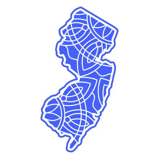
States mandala new jersey PNG Design
Choose a folder
All favorites
Create new
Save
States mandala new jersey PNG Design
Premium
Seal with canada flag flat PNG Design
Choose a folder
All favorites
Create new
Save
Seal with canada flag flat PNG Design
Premium
Windrose arrow south nord east west line PNG Design
Choose a folder
All favorites
Create new
Save
Windrose arrow south nord east west line PNG Design
Premium
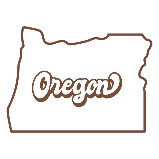
The state of oregon map in brown PNG Design
Choose a folder
All favorites
Create new
Save
The state of oregon map in brown PNG Design
Premium
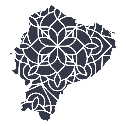
Ecuador's mandala map PNG Design
Choose a folder
All favorites
Create new
Save
Ecuador's mandala map PNG Design
Premium
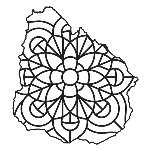
Mandala-style map shaped like Uruguay PNG Design
Choose a folder
All favorites
Create new
Save
Mandala-style map shaped like Uruguay PNG Design
Premium
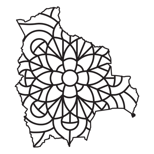
Mandala-style map shaped like Bolivia PNG Design
Choose a folder
All favorites
Create new
Save
Mandala-style map shaped like Bolivia PNG Design
A silhouette of the Map of Qatar PNG Design
Choose a folder
All favorites
Create new
Save
A silhouette of the Map of Qatar PNG Design
A silhouette of the map of Saudi Arabia PNG Design
Choose a folder
All favorites
Create new
Save
A silhouette of the map of Saudi Arabia PNG Design
A silhouette of the map of Uruguay PNG Design
Choose a folder
All favorites
Create new
Save
A silhouette of the map of Uruguay PNG Design
Premium
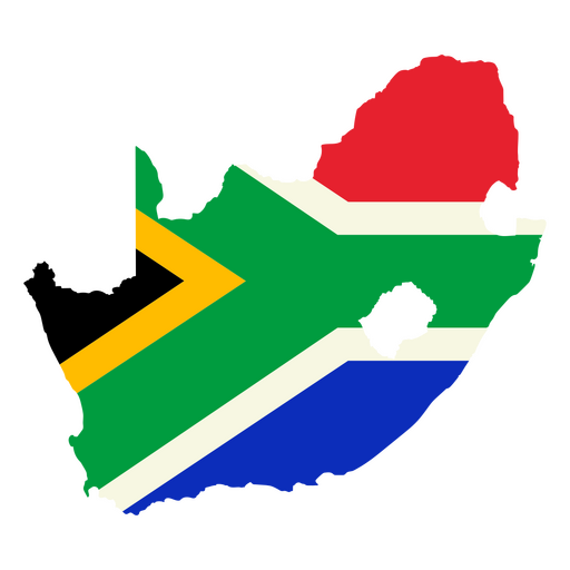
The map of South Africa with the flag PNG Design
Choose a folder
All favorites
Create new
Save
The map of South Africa with the flag PNG Design
Premium
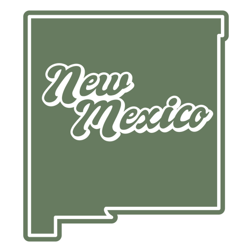
The state of new mexico on a green background PNG Design
Choose a folder
All favorites
Create new
Save
The state of new mexico on a green background PNG Design
Premium
Bolivia's mandala map PNG Design
Choose a folder
All favorites
Create new
Save
Bolivia's mandala map PNG Design
Premium
Windrose arrow nord east west south silhouette PNG Design
Choose a folder
All favorites
Create new
Save
Windrose arrow nord east west south silhouette PNG Design
Premium
Windrose arrow west nord south east silhouette PNG Design
Choose a folder
All favorites
Create new
Save
Windrose arrow west nord south east silhouette PNG Design
Premium
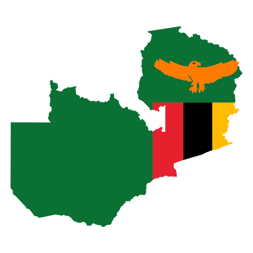
Map of zimbabwe with an eagle and flag PNG Design
Choose a folder
All favorites
Create new
Save
Map of zimbabwe with an eagle and flag PNG Design
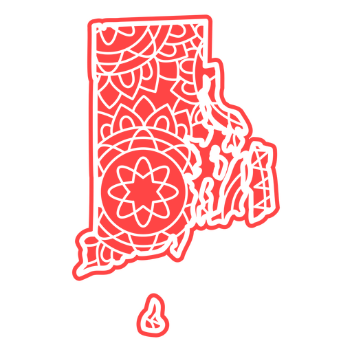
Rhode island mandala states PNG Design
Choose a folder
All favorites
Create new
Save
Rhode island mandala states PNG Design
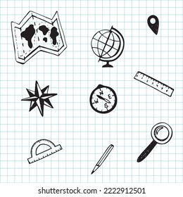
Compass flat icon compass PNG Design
Choose a folder
All favorites
Create new
Save
Compass flat icon compass PNG Design
School globe hand drawn PNG Design
Choose a folder
All favorites
Create new
Save
School globe hand drawn PNG Design
Premium
Ladder step ladder height planet earth continent flat PNG Design
Choose a folder
All favorites
Create new
Save
Ladder step ladder height planet earth continent flat PNG Design
Premium
Map with the flag of belgium PNG Design
Choose a folder
All favorites
Create new
Save
Map with the flag of belgium PNG Design
A silhouette of the map of Bahrain PNG Design
Choose a folder
All favorites
Create new
Save
A silhouette of the map of Bahrain PNG Design
Maine duotone states PNG Design
Choose a folder
All favorites
Create new
Save
Maine duotone states PNG Design
Pennsylvania duotone states PNG Design
Choose a folder
All favorites
Create new
Save
Pennsylvania duotone states PNG Design
Boost Your Business
With The Leading Graphic Platform For Merch.
SEE PLANS
Next
of 14
prev page
next page