Design Library
New Merch Designs
T-Shirts
Vectors
Trending Merch Designs
PNGs & SVGs
Mockups
T-Shirt PSD Templates
Explore Designs
KDP Designs
Posters
Mugs
Phone Cases
Tote Bags
Pillows
Design Tools
Merch Designer
New!
Mockup Generator
AI Design Generator
Image Vectorizer
Quote Generator
T-Shirt Maker (Old)
Resources
Merch Digest
Blog
Help Center
Learn About Merch
Feedback
Corporate Solutions
Enterprise
API Access
Design Studio
Bulk Design Production
Pricing
Loading...
Sign Up
Login
PNGs For Merch
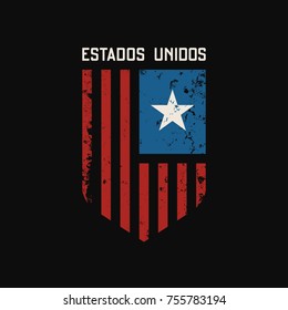
estados
Design Library
New Merch Designs
T-Shirts
Vectors
Trending Merch Designs
PNGs & SVGs
Mockups
T-Shirt PSD Templates
Explore Designs
KDP Designs
Posters
Mugs
Phone Cases
Tote Bags
Pillows
Design Tools
Merch Designer
New!
Mockup Generator
AI Design Generator
Image Vectorizer
Quote Generator
T-Shirt Maker (Old)
Resources
Merch Digest
Blog
Help Center
Learn About Merch
Feedback
Corporate Solutions
Enterprise
API Access
Design Studio
Bulk Design Production
PLANS
PNGs For Merch
estados
1873 estados PNG and SVG design graphic
Download estados PNG & SVG Designs with transparent background for T-Shirts, book covers, phone cases and other merch.
Sort by
Most relevant
Sponsored results by
Get 15% off with code: VEXELS15
Show more
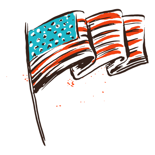
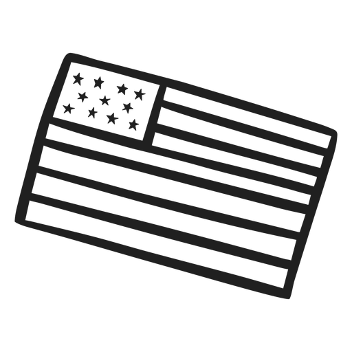
American flag vintage PNG Design
Choose a folder
All favorites
Create new
Save
American flag vintage PNG Design
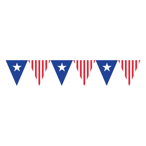
Triangles usa flag bunting PNG Design
Choose a folder
All favorites
Create new
Save
Triangles usa flag bunting PNG Design
Premium
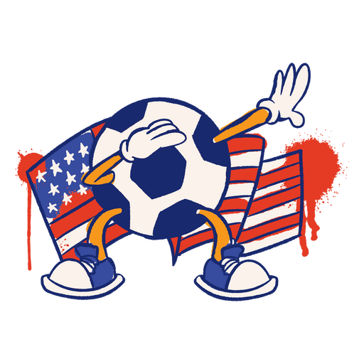
USA flag soccer ball sport character PNG Design
Choose a folder
All favorites
Create new
Save
USA flag soccer ball sport character PNG Design
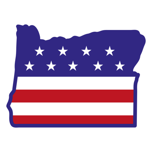
Oregon color stroke states PNG Design
Choose a folder
All favorites
Create new
Save
Oregon color stroke states PNG Design
North Dakota usa map silhouette PNG Design
Choose a folder
All favorites
Create new
Save
North Dakota usa map silhouette PNG Design
Missouri color stroke states PNG Design
Choose a folder
All favorites
Create new
Save
Missouri color stroke states PNG Design
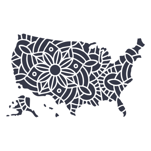
USA map silhouette mandala stroke PNG Design
Choose a folder
All favorites
Create new
Save
USA map silhouette mandala stroke PNG Design
Alaska duotone states PNG Design
Choose a folder
All favorites
Create new
Save
Alaska duotone states PNG Design
Blue folded usa ribbon PNG Design
Choose a folder
All favorites
Create new
Save
Blue folded usa ribbon PNG Design
Usa flag statue of liberty flat PNG Design
Choose a folder
All favorites
Create new
Save
Usa flag statue of liberty flat PNG Design
God bless usa lettering PNG Design
Choose a folder
All favorites
Create new
Save
God bless usa lettering PNG Design
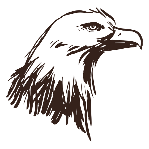
Bold eagle hand drawn PNG Design
Choose a folder
All favorites
Create new
Save
Bold eagle hand drawn PNG Design
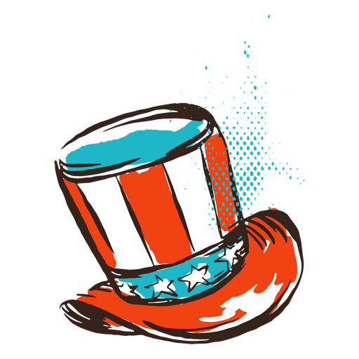
American top hat vintage PNG Design
Choose a folder
All favorites
Create new
Save
American top hat vintage PNG Design
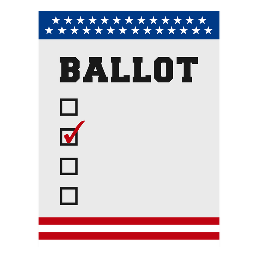
Ballot usa elections element PNG Design
Choose a folder
All favorites
Create new
Save
Ballot usa elections element PNG Design
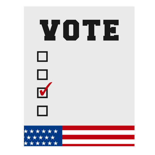
Vote usa elections element PNG Design
Choose a folder
All favorites
Create new
Save
Vote usa elections element PNG Design
West virginia color stroke states PNG Design
Choose a folder
All favorites
Create new
Save
West virginia color stroke states PNG Design
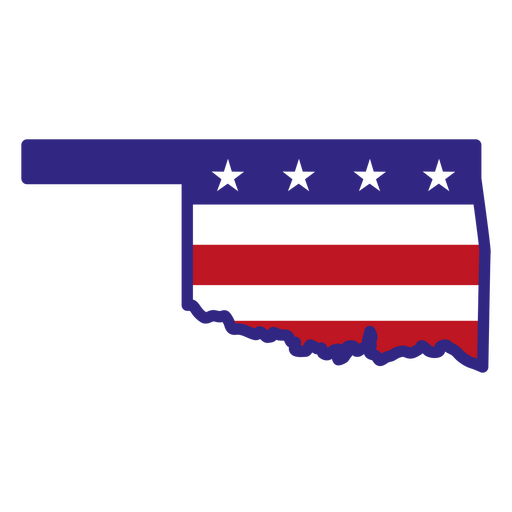
Oklahoma color stroke states PNG Design
Choose a folder
All favorites
Create new
Save
Oklahoma color stroke states PNG Design
Usa and uk icons PNG Design
Choose a folder
All favorites
Create new
Save
Usa and uk icons PNG Design
Premium
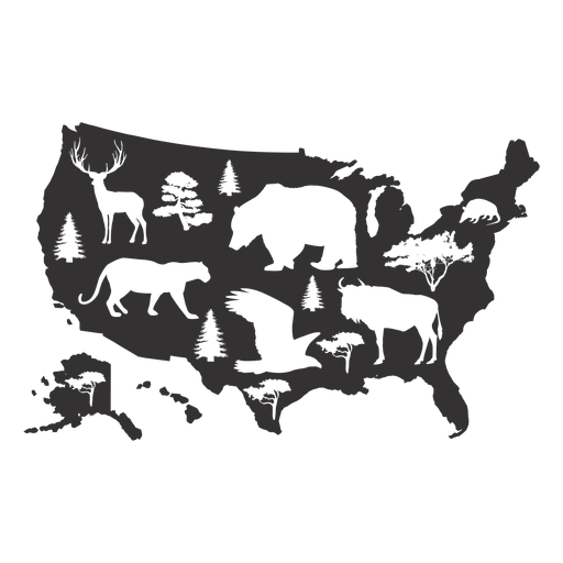
Usa animal map silhouette PNG Design
Choose a folder
All favorites
Create new
Save
Usa animal map silhouette PNG Design
Premium
Usa republicans politic pin vote PNG Design
Choose a folder
All favorites
Create new
Save
Usa republicans politic pin vote PNG Design
Usa flag ribbon badge PNG Design
Choose a folder
All favorites
Create new
Save
Usa flag ribbon badge PNG Design
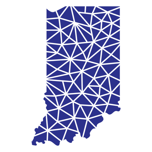
Indiana geometric states PNG Design
Choose a folder
All favorites
Create new
Save
Indiana geometric states PNG Design
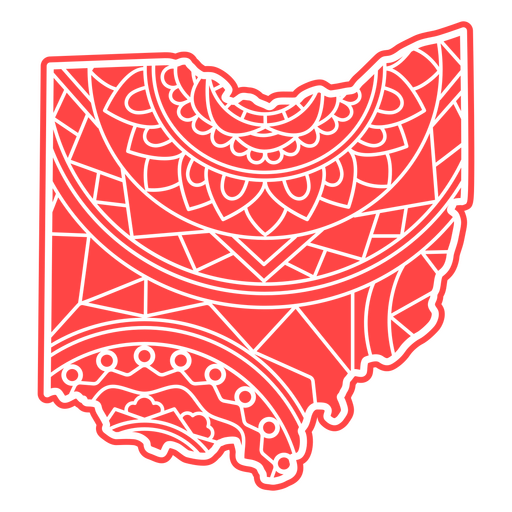
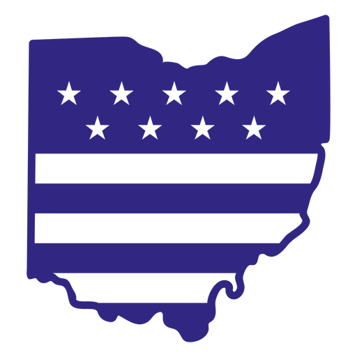
Ohio mandala states PNG Design
Choose a folder
All favorites
Create new
Save
Ohio mandala states PNG Design
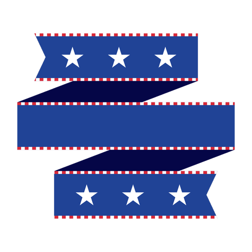
Blue folded origami usa ribbon PNG Design
Choose a folder
All favorites
Create new
Save
Blue folded origami usa ribbon PNG Design
Kentucky duotone states PNG Design
Choose a folder
All favorites
Create new
Save
Kentucky duotone states PNG Design
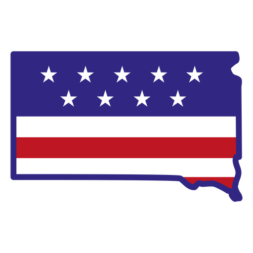
South dakota color stroke states PNG Design
Choose a folder
All favorites
Create new
Save
South dakota color stroke states PNG Design
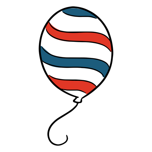
Balloon usa PNG Design
Choose a folder
All favorites
Create new
Save
Balloon usa PNG Design
United states balloon PNG Design
Choose a folder
All favorites
Create new
Save
United states balloon PNG Design
Stripy folded usa flag ribbon PNG Design
Choose a folder
All favorites
Create new
Save
Stripy folded usa flag ribbon PNG Design
Ohio duotone states PNG Design
Choose a folder
All favorites
Create new
Save
Ohio duotone states PNG Design
New jersey duotone states PNG Design
Choose a folder
All favorites
Create new
Save
New jersey duotone states PNG Design
Minnesota duotone states PNG Design
Choose a folder
All favorites
Create new
Save
Minnesota duotone states PNG Design
Nebraska color stroke states PNG Design
Choose a folder
All favorites
Create new
Save
Nebraska color stroke states PNG Design
Fireworks united states icon PNG Design
Choose a folder
All favorites
Create new
Save
Fireworks united states icon PNG Design
USA flag and sparks stroke PNG Design
Choose a folder
All favorites
Create new
Save
USA flag and sparks stroke PNG Design
New york color stroke states PNG Design
Choose a folder
All favorites
Create new
Save
New york color stroke states PNG Design
Louisiana geometric states PNG Design
Choose a folder
All favorites
Create new
Save
Louisiana geometric states PNG Design
USA map silhouette mandala cut out PNG Design
Choose a folder
All favorites
Create new
Save
USA map silhouette mandala cut out PNG Design
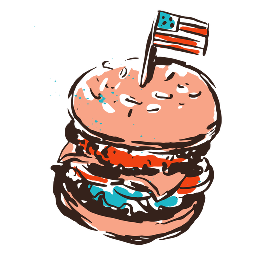
American burger vintage PNG Design
Choose a folder
All favorites
Create new
Save
American burger vintage PNG Design
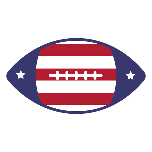
American football usa flag flat PNG Design
Choose a folder
All favorites
Create new
Save
American football usa flag flat PNG Design
Usa flag doodle PNG Design
Choose a folder
All favorites
Create new
Save
Usa flag doodle PNG Design
Premium
Usa flags round icon PNG Design
Choose a folder
All favorites
Create new
Save
Usa flags round icon PNG Design
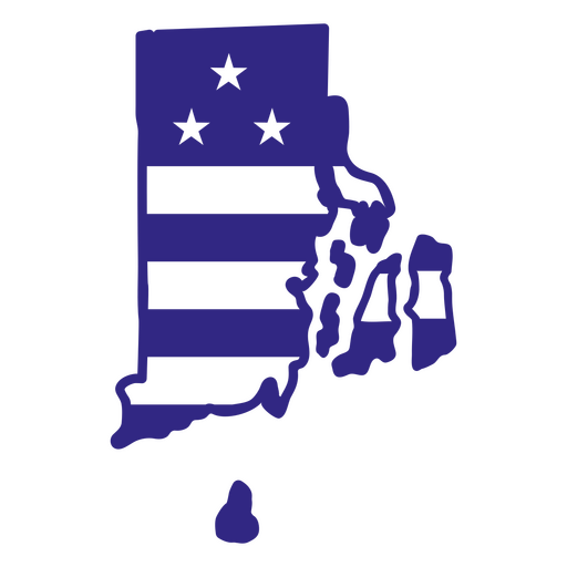
Rhode island duotone states PNG Design
Choose a folder
All favorites
Create new
Save
Rhode island duotone states PNG Design
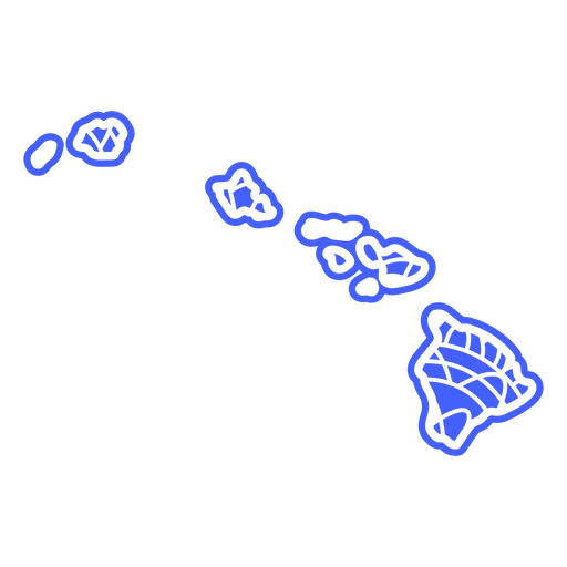
Hawaii mandala states PNG Design
Choose a folder
All favorites
Create new
Save
Hawaii mandala states PNG Design
Usa pennants icon PNG Design
Choose a folder
All favorites
Create new
Save
Usa pennants icon PNG Design
Patriotic usa flag element PNG Design
Choose a folder
All favorites
Create new
Save
Patriotic usa flag element PNG Design
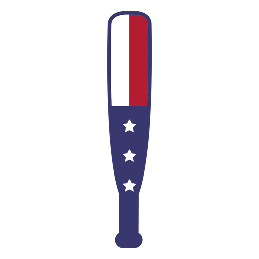
Usa flag in bat flat PNG Design
Choose a folder
All favorites
Create new
Save
Usa flag in bat flat PNG Design
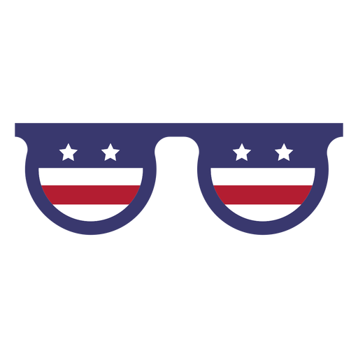
Usa flag in glasses flat PNG Design
Choose a folder
All favorites
Create new
Save
Usa flag in glasses flat PNG Design
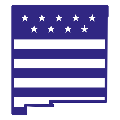
New mexico duotone states PNG Design
Choose a folder
All favorites
Create new
Save
New mexico duotone states PNG Design
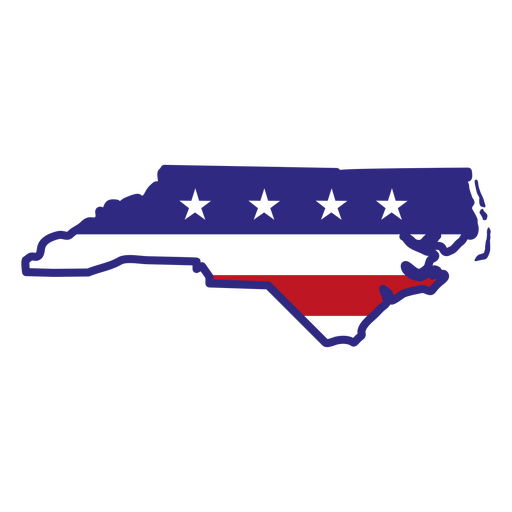
North carolina color stroke states PNG Design
Choose a folder
All favorites
Create new
Save
North carolina color stroke states PNG Design
Boost Your Business
With The Leading Graphic Platform For Merch.
SEE PLANS
Next
of 38
prev page
next page