Design Library
New Merch Designs
T-Shirts
Vectors
Trending Merch Designs
PNGs & SVGs
Mockups
T-Shirt PSD Templates
Explore Designs
KDP Designs
Posters
Mugs
Phone Cases
Tote Bags
Pillows
Design Tools
Merch Designer
New!
Mockup Generator
AI Design Generator
Image Vectorizer
Quote Generator
T-Shirt Maker (Old)
Resources
Merch Digest
Blog
Help Center
Learn About Merch
Feedback
Corporate Solutions
Enterprise
API Access
Design Studio
Bulk Design Production
Pricing
Loading...
Sign Up
Login
PNGs For Merch
estados
Design Library
New Merch Designs
T-Shirts
Vectors
Trending Merch Designs
PNGs & SVGs
Mockups
T-Shirt PSD Templates
Explore Designs
KDP Designs
Posters
Mugs
Phone Cases
Tote Bags
Pillows
Design Tools
Merch Designer
New!
Mockup Generator
AI Design Generator
Image Vectorizer
Quote Generator
T-Shirt Maker (Old)
Resources
Merch Digest
Blog
Help Center
Learn About Merch
Feedback
Corporate Solutions
Enterprise
API Access
Design Studio
Bulk Design Production
PLANS
PNGs For Merch
estados
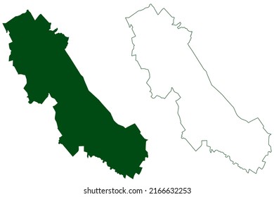
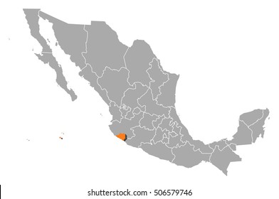
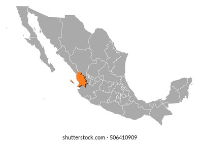
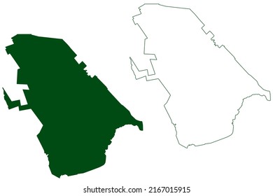
1873 estados PNG and SVG design graphic
Download estados PNG & SVG Designs with transparent background for T-Shirts, book covers, phone cases and other merch.
Sort by
Most relevant
Sponsored results by
Get 15% off with code: VEXELS15
Show more
Premium
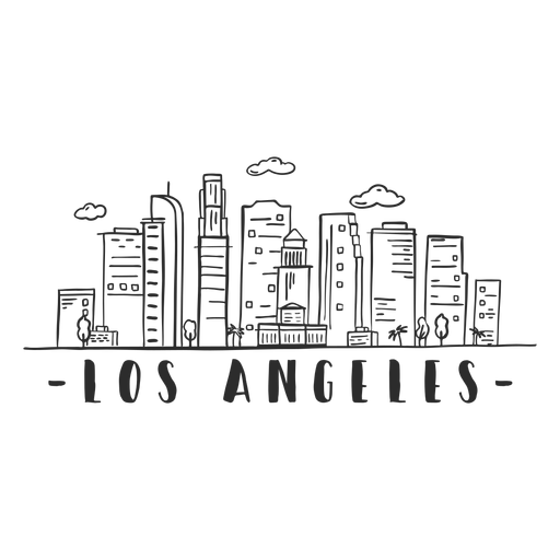
Los angeles tower sky scraper skyline sticker PNG Design
Choose a folder
All favorites
Create new
Save
Los angeles tower sky scraper skyline sticker PNG Design
Premium
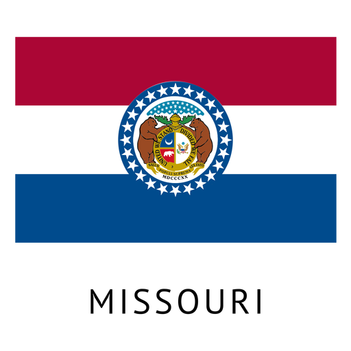
Missouri state flag PNG Design
Choose a folder
All favorites
Create new
Save
Missouri state flag PNG Design
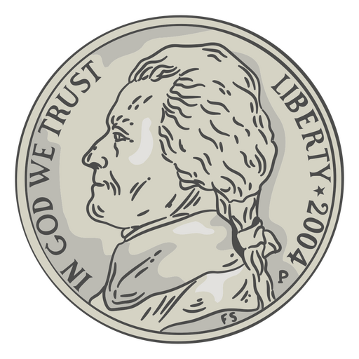
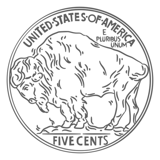
Coin illustration nickel head PNG Design
Choose a folder
All favorites
Create new
Save
Coin illustration nickel head PNG Design
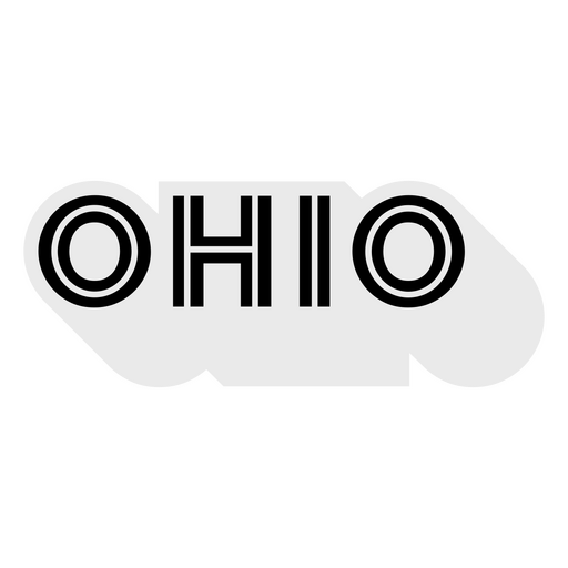
Ohio Bold Lettering PNG Design
Choose a folder
All favorites
Create new
Save
Ohio Bold Lettering PNG Design
Premium
New york statue of liberty empire state building skyline sticker PNG Design
Choose a folder
All favorites
Create new
Save
New york statue of liberty empire state building skyline sticker PNG Design
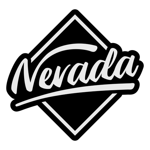
Nevada Brushed Lettering PNG Design
Choose a folder
All favorites
Create new
Save
Nevada Brushed Lettering PNG Design
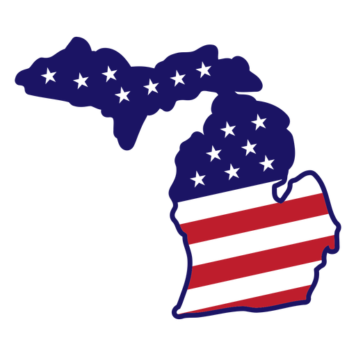
Michigan map color stroke PNG Design
Choose a folder
All favorites
Create new
Save
Michigan map color stroke PNG Design
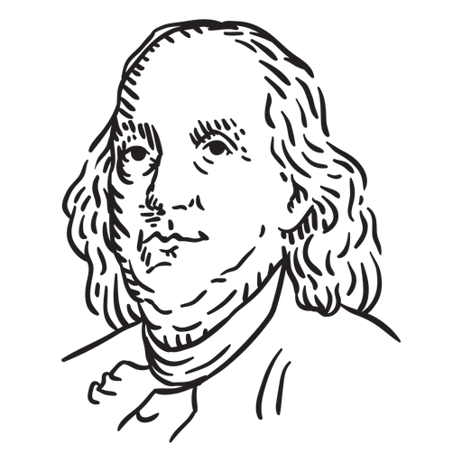
Benjamin Franklin hand drawn PNG Design
Choose a folder
All favorites
Create new
Save
Benjamin Franklin hand drawn PNG Design
Pennants hand drawn PNG Design
Choose a folder
All favorites
Create new
Save
Pennants hand drawn PNG Design
Premium
American flag design element PNG Design
Choose a folder
All favorites
Create new
Save
American flag design element PNG Design
Miami skyline silhouette in blue PNG Design
Choose a folder
All favorites
Create new
Save
Miami skyline silhouette in blue PNG Design
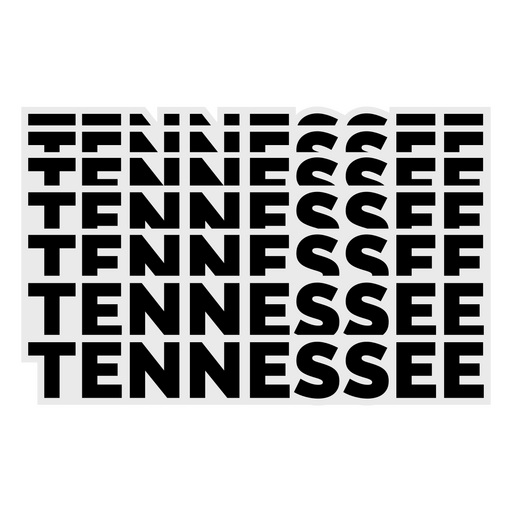
Tennessee Bold Lettering PNG Design
Choose a folder
All favorites
Create new
Save
Tennessee Bold Lettering PNG Design
Premium
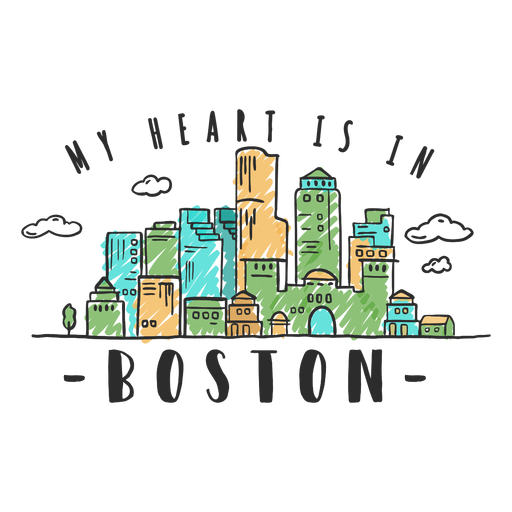
Boston skyline sticker PNG Design
Choose a folder
All favorites
Create new
Save
Boston skyline sticker PNG Design
Premium
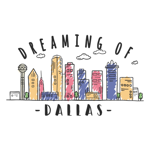
Dallas skyline sticker PNG Design
Choose a folder
All favorites
Create new
Save
Dallas skyline sticker PNG Design
Premium
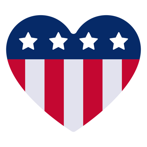
American heart design element PNG Design
Choose a folder
All favorites
Create new
Save
American heart design element PNG Design
Premium
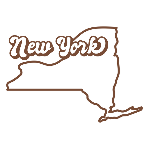
The new york state is shown in brown PNG Design
Choose a folder
All favorites
Create new
Save
The new york state is shown in brown PNG Design
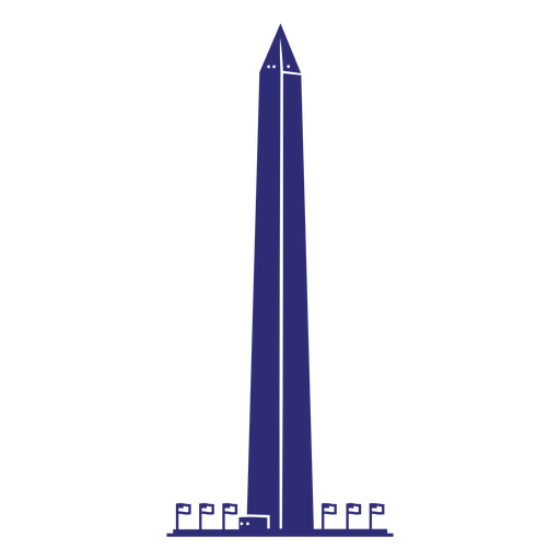
Washington monument cut out PNG Design
Choose a folder
All favorites
Create new
Save
Washington monument cut out PNG Design
Abraham lincoln statue landmark semi flat PNG Design
Choose a folder
All favorites
Create new
Save
Abraham lincoln statue landmark semi flat PNG Design
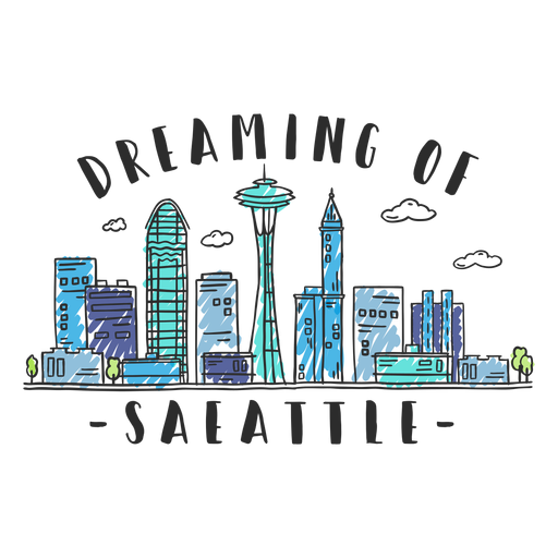
Premium
Seattle skyline sticker PNG Design
Choose a folder
All favorites
Create new
Save
Seattle skyline sticker PNG Design
Cookies retro food treats PNG Design
Choose a folder
All favorites
Create new
Save
Cookies retro food treats PNG Design
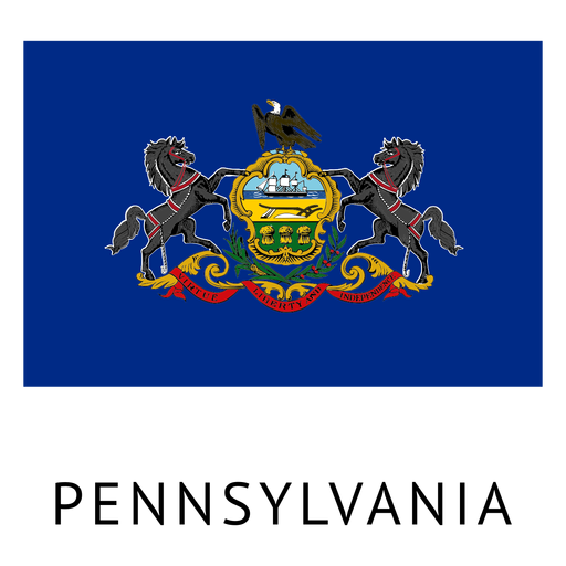
Premium
Pennsylvania state flag PNG Design
Choose a folder
All favorites
Create new
Save
Pennsylvania state flag PNG Design
Premium
Philadelphia Skyline Silhouette PNG Design
Choose a folder
All favorites
Create new
Save
Philadelphia Skyline Silhouette PNG Design
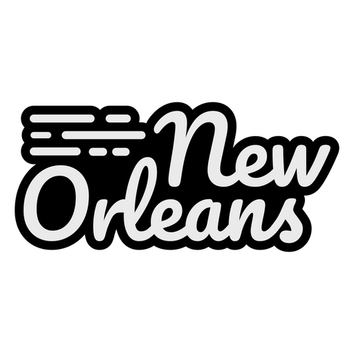
New Orleans Cursive Lettering PNG Design
Choose a folder
All favorites
Create new
Save
New Orleans Cursive Lettering PNG Design
American vibe sparkly badge PNG Design
Choose a folder
All favorites
Create new
Save
American vibe sparkly badge PNG Design
Premium
Oregon state flag PNG Design
Choose a folder
All favorites
Create new
Save
Oregon state flag PNG Design
Merica cut out badge PNG Design
Choose a folder
All favorites
Create new
Save
Merica cut out badge PNG Design
Premium
New york skyline sticker PNG Design
Choose a folder
All favorites
Create new
Save
New york skyline sticker PNG Design
Premium
New hampshire state flag PNG Design
Choose a folder
All favorites
Create new
Save
New hampshire state flag PNG Design
Premium
Washington state map with the word washington on it PNG Design
Choose a folder
All favorites
Create new
Save
Washington state map with the word washington on it PNG Design
Premium
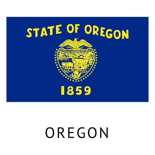
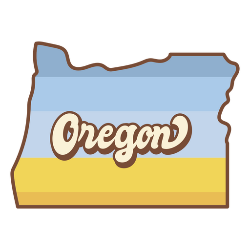
The state of oregon is shown PNG Design
Choose a folder
All favorites
Create new
Save
The state of oregon is shown PNG Design
Coin stroke buffalo tail usa PNG Design
Choose a folder
All favorites
Create new
Save
Coin stroke buffalo tail usa PNG Design
Hot cocoa retro food treats PNG Design
Choose a folder
All favorites
Create new
Save
Hot cocoa retro food treats PNG Design
American cowboy cute character PNG Design
Choose a folder
All favorites
Create new
Save
American cowboy cute character PNG Design
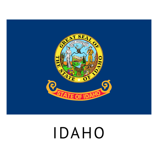
Premium
Idaho state flag PNG Design
Choose a folder
All favorites
Create new
Save
Idaho state flag PNG Design
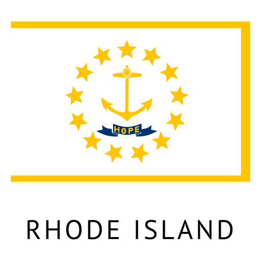
Premium
Rhode island state flag PNG Design
Choose a folder
All favorites
Create new
Save
Rhode island state flag PNG Design
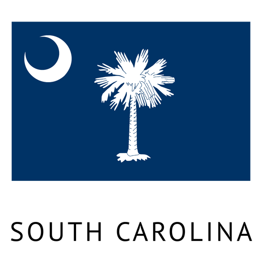
Premium
South carolina state flag PNG Design
Choose a folder
All favorites
Create new
Save
South carolina state flag PNG Design
Premium
Basketball ball stroke icon PNG Design
Choose a folder
All favorites
Create new
Save
Basketball ball stroke icon PNG Design
Premium
Stroke statue of liberty PNG Design
Choose a folder
All favorites
Create new
Save
Stroke statue of liberty PNG Design
Premium
Boston City skyline badge PNG Design
Choose a folder
All favorites
Create new
Save
Boston City skyline badge PNG Design
Premium
Detroit skyline badge PNG Design
Choose a folder
All favorites
Create new
Save
Detroit skyline badge PNG Design
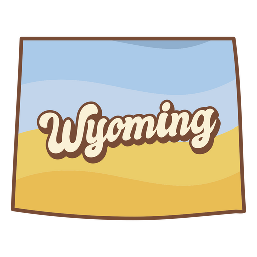
Premium
The state of wyoming with the word wyoming on it PNG Design
Choose a folder
All favorites
Create new
Save
The state of wyoming with the word wyoming on it PNG Design
Cupcake retro food treats PNG Design
Choose a folder
All favorites
Create new
Save
Cupcake retro food treats PNG Design
White pennants hand drawn PNG Design
Choose a folder
All favorites
Create new
Save
White pennants hand drawn PNG Design
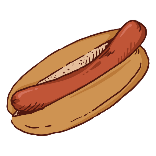
Premium
Hot dog fast food PNG Design
Choose a folder
All favorites
Create new
Save
Hot dog fast food PNG Design
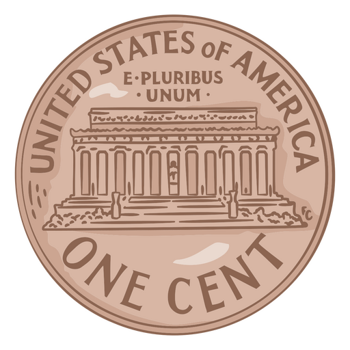
Coin illustration usa one cent PNG Design
Choose a folder
All favorites
Create new
Save
Coin illustration usa one cent PNG Design
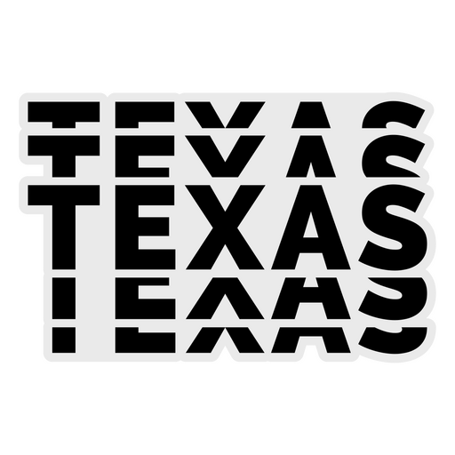
Texas Bold Lettering PNG Design
Choose a folder
All favorites
Create new
Save
Texas Bold Lettering PNG Design
Montana usa map silhouette PNG Design
Choose a folder
All favorites
Create new
Save
Montana usa map silhouette PNG Design
Eagle american flag filled stroke badge PNG Design
Choose a folder
All favorites
Create new
Save
Eagle american flag filled stroke badge PNG Design
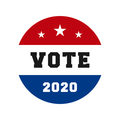
Elections day usa quote PNG Design
Choose a folder
All favorites
Create new
Save
Elections day usa quote PNG Design
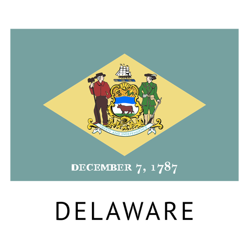
Premium
Delaware state flag PNG Design
Choose a folder
All favorites
Create new
Save
Delaware state flag PNG Design
Boost Your Business
With The Leading Graphic Platform For Merch.
SEE PLANS
Next
of 38
prev page
next page