Design Library
New Merch Designs
T-Shirts
Vectors
Trending Merch Designs
PNGs & SVGs
Mockups
T-Shirt PSD Templates
Explore Designs
KDP Designs
Posters
Mugs
Phone Cases
Tote Bags
Pillows
Design Tools
Merch Designer
New!
Mockup Generator
AI Design Generator
Image Vectorizer
Quote Generator
T-Shirt Maker (Old)
Resources
Merch Digest
Blog
Help Center
Learn About Merch
Feedback
Corporate Solutions
Enterprise
API Access
Design Studio
Bulk Design Production
Pricing
Loading...
Sign Up
Login
PNGs For Merch
estados
Design Library
New Merch Designs
T-Shirts
Vectors
Trending Merch Designs
PNGs & SVGs
Mockups
T-Shirt PSD Templates
Explore Designs
KDP Designs
Posters
Mugs
Phone Cases
Tote Bags
Pillows
Design Tools
Merch Designer
New!
Mockup Generator
AI Design Generator
Image Vectorizer
Quote Generator
T-Shirt Maker (Old)
Resources
Merch Digest
Blog
Help Center
Learn About Merch
Feedback
Corporate Solutions
Enterprise
API Access
Design Studio
Bulk Design Production
PLANS
PNGs For Merch
estados
1873 estados PNG and SVG design graphic
Download estados PNG & SVG Designs with transparent background for T-Shirts, book covers, phone cases and other merch.
Sort by
Most relevant
Sponsored results by
Get 15% off with code: VEXELS15
Show more
Premium
Burger fast food stroke icon PNG Design
Choose a folder
All favorites
Create new
Save
Burger fast food stroke icon PNG Design
Virginia Retro Lettering PNG Design
Choose a folder
All favorites
Create new
Save
Virginia Retro Lettering PNG Design
'Merica quote semi flat PNG Design
Choose a folder
All favorites
Create new
Save
'Merica quote semi flat PNG Design
USA cut out badge PNG Design
Choose a folder
All favorites
Create new
Save
USA cut out badge PNG Design
Freedom cut out PNG Design
Choose a folder
All favorites
Create new
Save
Freedom cut out PNG Design
Premium
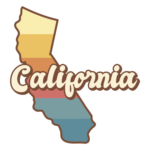
The state of california is shown PNG Design
Choose a folder
All favorites
Create new
Save
The state of california is shown PNG Design
Premium
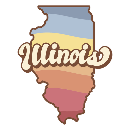
The state of illinois PNG Design
Choose a folder
All favorites
Create new
Save
The state of illinois PNG Design
Cake retro food treats PNG Design
Choose a folder
All favorites
Create new
Save
Cake retro food treats PNG Design
Merica american badge color stroke PNG Design
Choose a folder
All favorites
Create new
Save
Merica american badge color stroke PNG Design
Premium
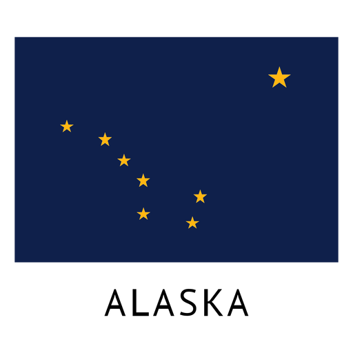
Alaska state flag PNG Design
Choose a folder
All favorites
Create new
Save
Alaska state flag PNG Design
Blue red stripe ribon PNG Design
Choose a folder
All favorites
Create new
Save
Blue red stripe ribon PNG Design
Rhode Island usa map silhouette PNG Design
Choose a folder
All favorites
Create new
Save
Rhode Island usa map silhouette PNG Design
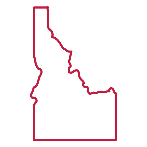
Idaho usa map stroke PNG Design
Choose a folder
All favorites
Create new
Save
Idaho usa map stroke PNG Design
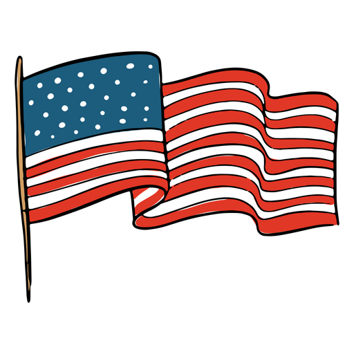
Waving american flag flag PNG Design
Choose a folder
All favorites
Create new
Save
Waving american flag flag PNG Design
Indiana usa map silhouette PNG Design
Choose a folder
All favorites
Create new
Save
Indiana usa map silhouette PNG Design
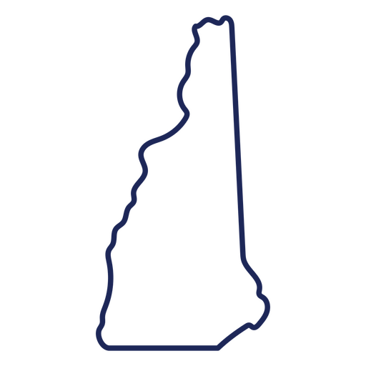
New Hampshire state stroke map PNG Design
Choose a folder
All favorites
Create new
Save
New Hampshire state stroke map PNG Design
Freedom USA lettering cut out badge PNG Design
Choose a folder
All favorites
Create new
Save
Freedom USA lettering cut out badge PNG Design
Premium
New orleans sky scraper skyline sticker PNG Design
Choose a folder
All favorites
Create new
Save
New orleans sky scraper skyline sticker PNG Design
Premium
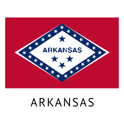
Arkansas state flag PNG Design
Choose a folder
All favorites
Create new
Save
Arkansas state flag PNG Design
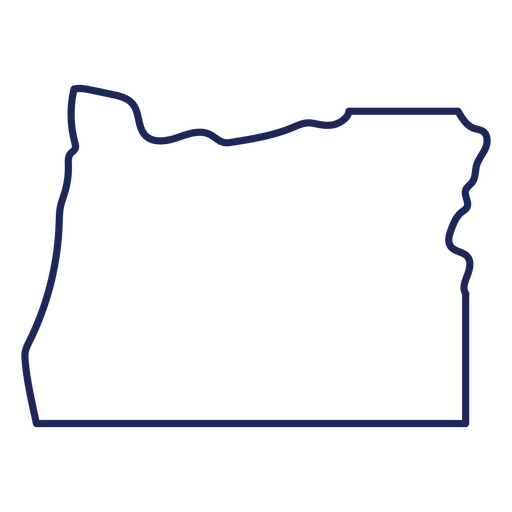
Oregon state stroke map PNG Design
Choose a folder
All favorites
Create new
Save
Oregon state stroke map PNG Design
Premium
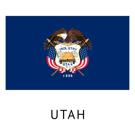
Utah state flag PNG Design
Choose a folder
All favorites
Create new
Save
Utah state flag PNG Design
Philadelphia city skyline silhouette PNG Design
Choose a folder
All favorites
Create new
Save
Philadelphia city skyline silhouette PNG Design
Freedom america color lettering badge PNG Design
Choose a folder
All favorites
Create new
Save
Freedom america color lettering badge PNG Design
Premium
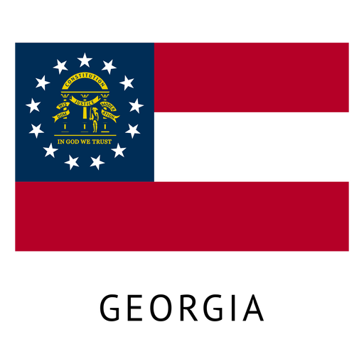
Georgia state flag PNG Design
Choose a folder
All favorites
Create new
Save
Georgia state flag PNG Design
Premium
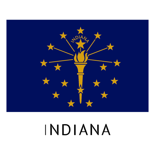
Indiana state flag PNG Design
Choose a folder
All favorites
Create new
Save
Indiana state flag PNG Design
Premium
North dakota state plain map PNG Design
Choose a folder
All favorites
Create new
Save
North dakota state plain map PNG Design
Premium
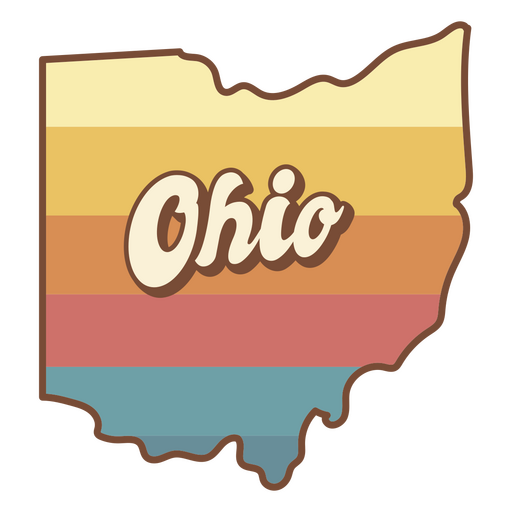
The state of ohio with a colorful background PNG Design
Choose a folder
All favorites
Create new
Save
The state of ohio with a colorful background PNG Design
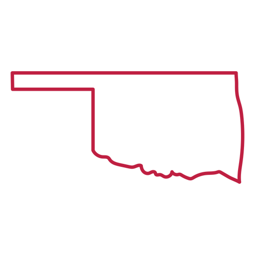
Oklahoma state stroke map PNG Design
Choose a folder
All favorites
Create new
Save
Oklahoma state stroke map PNG Design
Capitol dome american landmark semi flat PNG Design
Choose a folder
All favorites
Create new
Save
Capitol dome american landmark semi flat PNG Design
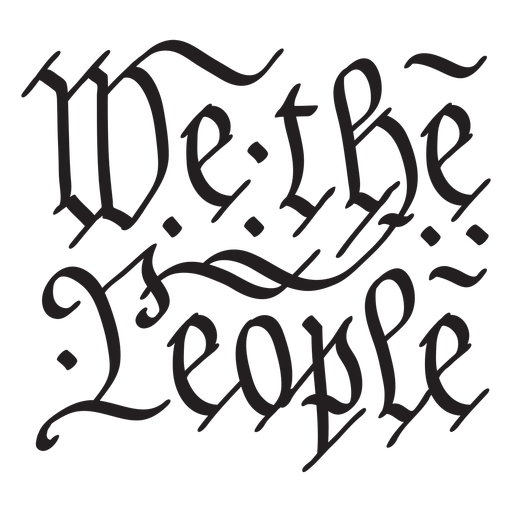
We the people constitution US stroke PNG Design
Choose a folder
All favorites
Create new
Save
We the people constitution US stroke PNG Design
Premium
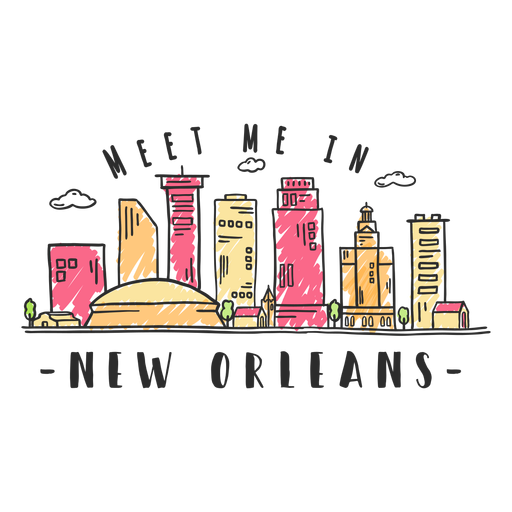
New orleans skyline sticker PNG Design
Choose a folder
All favorites
Create new
Save
New orleans skyline sticker PNG Design
Premium
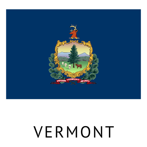
Vermont state flag PNG Design
Choose a folder
All favorites
Create new
Save
Vermont state flag PNG Design
Nebraska usa map silhouette PNG Design
Choose a folder
All favorites
Create new
Save
Nebraska usa map silhouette PNG Design
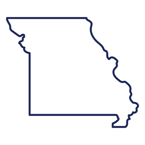
Missouri state stroke map PNG Design
Choose a folder
All favorites
Create new
Save
Missouri state stroke map PNG Design
Premium
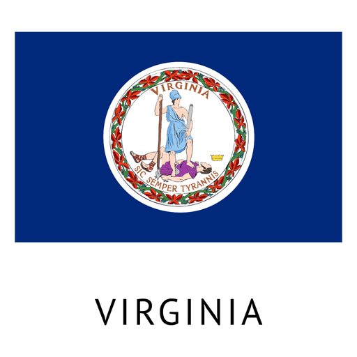
Virginia state flag PNG Design
Choose a folder
All favorites
Create new
Save
Virginia state flag PNG Design
Veteran's day flying eagle icon PNG Design
Choose a folder
All favorites
Create new
Save
Veteran's day flying eagle icon PNG Design
Wyoming usa map silhouette PNG Design
Choose a folder
All favorites
Create new
Save
Wyoming usa map silhouette PNG Design
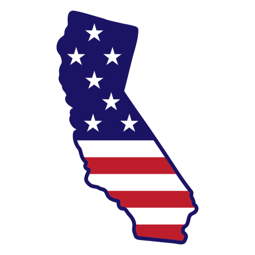
California state map color stroke PNG Design
Choose a folder
All favorites
Create new
Save
California state map color stroke PNG Design
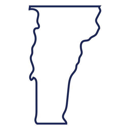
Vermont state stroke map PNG Design
Choose a folder
All favorites
Create new
Save
Vermont state stroke map PNG Design
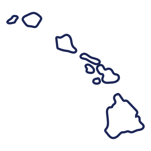
Hawaii usa map stroke PNG Design
Choose a folder
All favorites
Create new
Save
Hawaii usa map stroke PNG Design
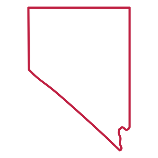
Nevada state stroke map PNG Design
Choose a folder
All favorites
Create new
Save
Nevada state stroke map PNG Design
Premium
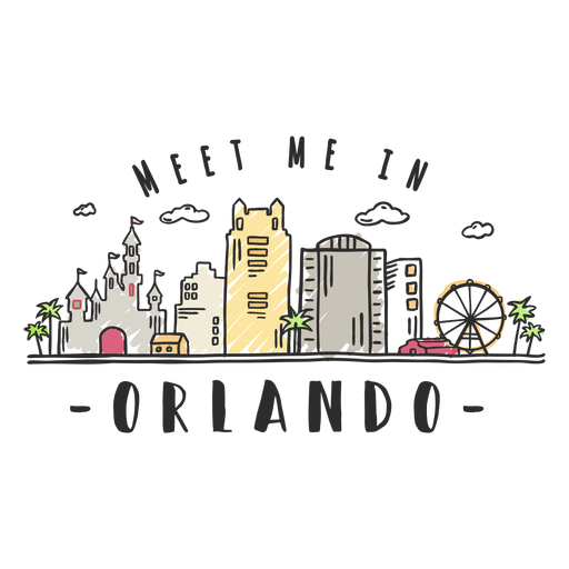
Orlando skyline sticker PNG Design
Choose a folder
All favorites
Create new
Save
Orlando skyline sticker PNG Design
Premium
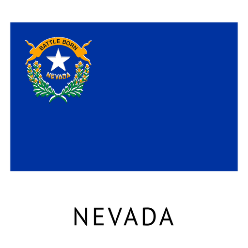
Nevada state flag PNG Design
Choose a folder
All favorites
Create new
Save
Nevada state flag PNG Design
Land of the ffree home of the brave badge PNG Design
Choose a folder
All favorites
Create new
Save
Land of the ffree home of the brave badge PNG Design
Land of the free quote color stroke PNG Design
Choose a folder
All favorites
Create new
Save
Land of the free quote color stroke PNG Design
Premium
New York Skyline Badge Vector PNG Design
Choose a folder
All favorites
Create new
Save
New York Skyline Badge Vector PNG Design
Veteran's day eagle icon PNG Design
Choose a folder
All favorites
Create new
Save
Veteran's day eagle icon PNG Design
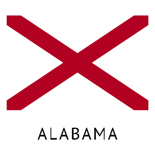
Premium
Alabama state flag PNG Design
Choose a folder
All favorites
Create new
Save
Alabama state flag PNG Design
Premium
Miami Buildings Silhouette PNG Design
Choose a folder
All favorites
Create new
Save
Miami Buildings Silhouette PNG Design
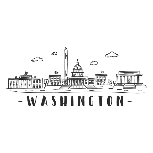
Premium
Washington white house monument skyline sticker PNG Design
Choose a folder
All favorites
Create new
Save
Washington white house monument skyline sticker PNG Design
Boost Your Business
With The Leading Graphic Platform For Merch.
SEE PLANS
Next
of 38
prev page
next page