Design Library
New Merch Designs
T-Shirts
Vectors
Trending Merch Designs
PNGs & SVGs
Mockups
T-Shirt PSD Templates
Explore Designs
KDP Designs
Posters
Mugs
Phone Cases
Tote Bags
Pillows
Design Tools
Merch Designer
New!
Mockup Generator
AI Design Generator
Image Vectorizer
Quote Generator
T-Shirt Maker (Old)
Resources
Merch Digest
Blog
Help Center
Learn About Merch
Feedback
Corporate Solutions
Enterprise
API Access
Design Studio
Bulk Design Production
Pricing
Loading...
Sign Up
Login
PNGs For Merch
estados
Design Library
New Merch Designs
T-Shirts
Vectors
Trending Merch Designs
PNGs & SVGs
Mockups
T-Shirt PSD Templates
Explore Designs
KDP Designs
Posters
Mugs
Phone Cases
Tote Bags
Pillows
Design Tools
Merch Designer
New!
Mockup Generator
AI Design Generator
Image Vectorizer
Quote Generator
T-Shirt Maker (Old)
Resources
Merch Digest
Blog
Help Center
Learn About Merch
Feedback
Corporate Solutions
Enterprise
API Access
Design Studio
Bulk Design Production
PLANS
PNGs For Merch
estados
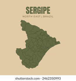
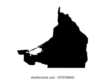
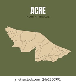
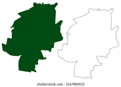
1873 estados PNG and SVG design graphic
Download estados PNG & SVG Designs with transparent background for T-Shirts, book covers, phone cases and other merch.
Sort by
Most relevant
Sponsored results by
Get 15% off with code: VEXELS15
Show more
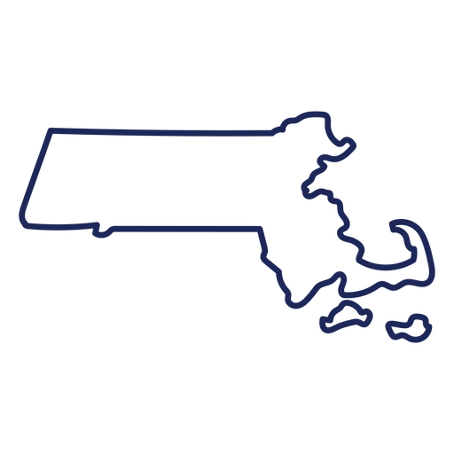
Massachusetts state stroke map PNG Design
Choose a folder
All favorites
Create new
Save
Massachusetts state stroke map PNG Design
Premium
Lousiana state plain map PNG Design
Choose a folder
All favorites
Create new
Save
Lousiana state plain map PNG Design
Premium
New York City Skyline PNG Design
Choose a folder
All favorites
Create new
Save
New York City Skyline PNG Design
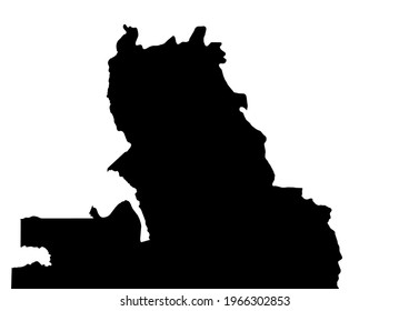
Oregon usa map silhouette PNG Design
Choose a folder
All favorites
Create new
Save
Oregon usa map silhouette PNG Design
Premium
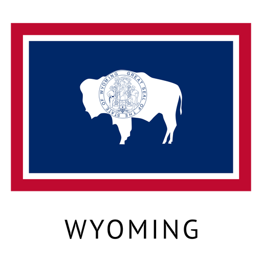
Wyoming state flag PNG Design
Choose a folder
All favorites
Create new
Save
Wyoming state flag PNG Design
Premium
Stroke constitution letter PNG Design
Choose a folder
All favorites
Create new
Save
Stroke constitution letter PNG Design
Pennsylvania state stroke map PNG Design
Choose a folder
All favorites
Create new
Save
Pennsylvania state stroke map PNG Design
Premium
Maryland state flag PNG Design
Choose a folder
All favorites
Create new
Save
Maryland state flag PNG Design
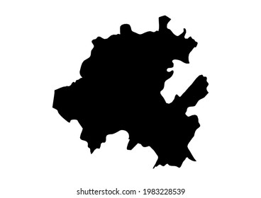
Georgia usa map silhouette PNG Design
Choose a folder
All favorites
Create new
Save
Georgia usa map silhouette PNG Design
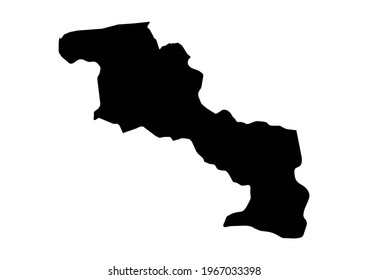
Utah usa map silhouette PNG Design
Choose a folder
All favorites
Create new
Save
Utah usa map silhouette PNG Design
Blue American eagle landing PNG Design
Choose a folder
All favorites
Create new
Save
Blue American eagle landing PNG Design
Tennessee state stroke map PNG Design
Choose a folder
All favorites
Create new
Save
Tennessee state stroke map PNG Design
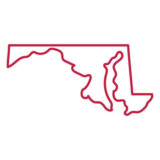
Maryland state stroke map PNG Design
Choose a folder
All favorites
Create new
Save
Maryland state stroke map PNG Design
Massachusetts usa map silhouette PNG Design
Choose a folder
All favorites
Create new
Save
Massachusetts usa map silhouette PNG Design
Oklahoma usa map silhouette PNG Design
Choose a folder
All favorites
Create new
Save
Oklahoma usa map silhouette PNG Design
Virginia usa map silhouette PNG Design
Choose a folder
All favorites
Create new
Save
Virginia usa map silhouette PNG Design
American flag flat icon PNG Design
Choose a folder
All favorites
Create new
Save
American flag flat icon PNG Design
Premium
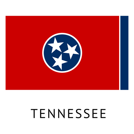
Tennessee state flag PNG Design
Choose a folder
All favorites
Create new
Save
Tennessee state flag PNG Design
Happy 4th of july lettering PNG Design
Choose a folder
All favorites
Create new
Save
Happy 4th of july lettering PNG Design
Veterans day army quote badge PNG Design
Choose a folder
All favorites
Create new
Save
Veterans day army quote badge PNG Design
Star american color stroke badge PNG Design
Choose a folder
All favorites
Create new
Save
Star american color stroke badge PNG Design
Premium
Chicago spire business center sky scraper skyline sticker PNG Design
Choose a folder
All favorites
Create new
Save
Chicago spire business center sky scraper skyline sticker PNG Design
Premium
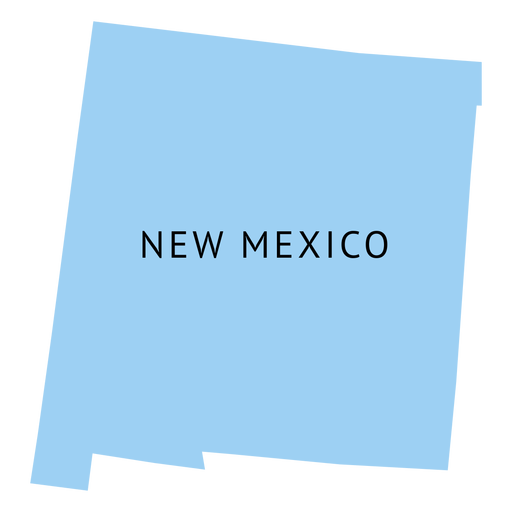
New mexico state plain map PNG Design
Choose a folder
All favorites
Create new
Save
New mexico state plain map PNG Design
Minnesota usa map silhouette PNG Design
Choose a folder
All favorites
Create new
Save
Minnesota usa map silhouette PNG Design
Wisconsin usa map silhouette PNG Design
Choose a folder
All favorites
Create new
Save
Wisconsin usa map silhouette PNG Design
Liberty statue american landmark high contrast PNG Design
Choose a folder
All favorites
Create new
Save
Liberty statue american landmark high contrast PNG Design
Premium
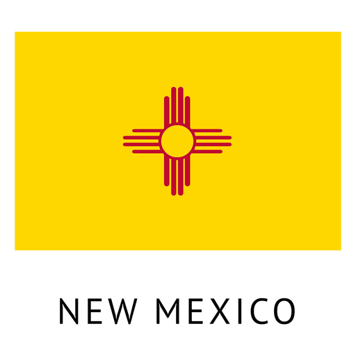
New mexico state flag PNG Design
Choose a folder
All favorites
Create new
Save
New mexico state flag PNG Design
Premium
Chicago skyline badge PNG Design
Choose a folder
All favorites
Create new
Save
Chicago skyline badge PNG Design
Michigan state stroke map PNG Design
Choose a folder
All favorites
Create new
Save
Michigan state stroke map PNG Design
Utah state stroke map PNG Design
Choose a folder
All favorites
Create new
Save
Utah state stroke map PNG Design
Maryland usa map silhouette PNG Design
Choose a folder
All favorites
Create new
Save
Maryland usa map silhouette PNG Design
Trump with eagle on shoulder PNG Design
Choose a folder
All favorites
Create new
Save
Trump with eagle on shoulder PNG Design
Premium
American balloons design element PNG Design
Choose a folder
All favorites
Create new
Save
American balloons design element PNG Design
Premium
Ohio state flag PNG Design
Choose a folder
All favorites
Create new
Save
Ohio state flag PNG Design
Pennsylvania usa map silhouette PNG Design
Choose a folder
All favorites
Create new
Save
Pennsylvania usa map silhouette PNG Design
We the people badge PNG Design
Choose a folder
All favorites
Create new
Save
We the people badge PNG Design
Nevada usa map silhouette PNG Design
Choose a folder
All favorites
Create new
Save
Nevada usa map silhouette PNG Design
Iowa usa map stroke PNG Design
Choose a folder
All favorites
Create new
Save
Iowa usa map stroke PNG Design
Declaration of independence cut out PNG Design
Choose a folder
All favorites
Create new
Save
Declaration of independence cut out PNG Design
Premium
Oklahoma state flag PNG Design
Choose a folder
All favorites
Create new
Save
Oklahoma state flag PNG Design
Premium
Rhode island state plain map PNG Design
Choose a folder
All favorites
Create new
Save
Rhode island state plain map PNG Design
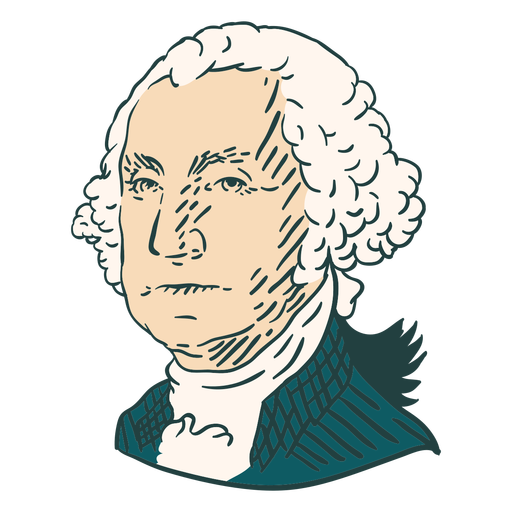
George Washington American illustrations color stroke PNG Design
Choose a folder
All favorites
Create new
Save
George Washington American illustrations color stroke PNG Design
Mount rushmore american landmark high contrast PNG Design
Choose a folder
All favorites
Create new
Save
Mount rushmore american landmark high contrast PNG Design
Premium
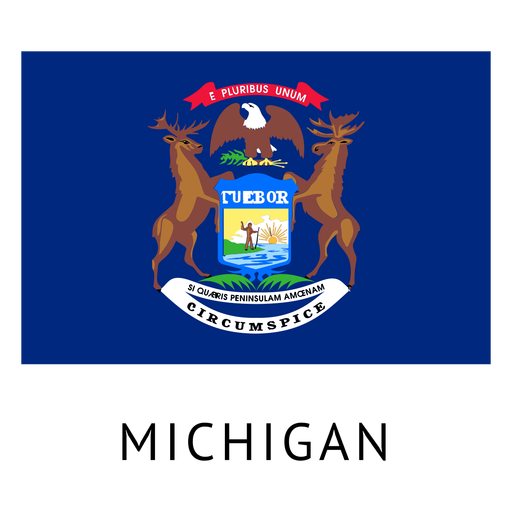
Michigan state flag PNG Design
Choose a folder
All favorites
Create new
Save
Michigan state flag PNG Design
New Hampshire usa map silhouette PNG Design
Choose a folder
All favorites
Create new
Save
New Hampshire usa map silhouette PNG Design
Arizona usa map silhouette PNG Design
Choose a folder
All favorites
Create new
Save
Arizona usa map silhouette PNG Design
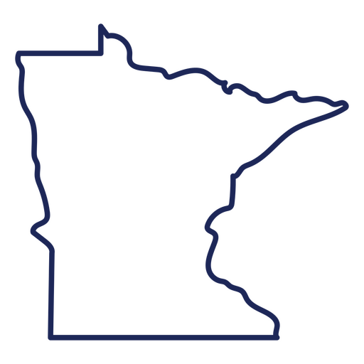
Minnesotta state stroke map PNG Design
Choose a folder
All favorites
Create new
Save
Minnesotta state stroke map PNG Design
Liberty bell American icons stroke PNG Design
Choose a folder
All favorites
Create new
Save
Liberty bell American icons stroke PNG Design
Premium
San francisco skyline silhouette PNG Design
Choose a folder
All favorites
Create new
Save
San francisco skyline silhouette PNG Design
Premium
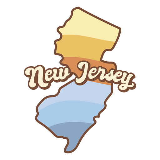
Map of new jersey with the words new jersey on it PNG Design
Choose a folder
All favorites
Create new
Save
Map of new jersey with the words new jersey on it PNG Design
Boost Your Business
With The Leading Graphic Platform For Merch.
SEE PLANS
Next
of 38
prev page
next page