Design Library
New Merch Designs
T-Shirts
Vectors
Trending Merch Designs
PNGs & SVGs
Mockups
T-Shirt PSD Templates
Explore Designs
KDP Designs
Posters
Mugs
Phone Cases
Tote Bags
Pillows
Design Tools
Merch Designer
New!
Mockup Generator
AI Design Generator
Image Vectorizer
Quote Generator
T-Shirt Maker (Old)
Resources
Merch Digest
Blog
Help Center
Learn About Merch
Feedback
Corporate Solutions
Enterprise
API Access
Design Studio
Bulk Design Production
Pricing
Loading...
Sign Up
Login
PNGs For Merch
estados
Design Library
New Merch Designs
T-Shirts
Vectors
Trending Merch Designs
PNGs & SVGs
Mockups
T-Shirt PSD Templates
Explore Designs
KDP Designs
Posters
Mugs
Phone Cases
Tote Bags
Pillows
Design Tools
Merch Designer
New!
Mockup Generator
AI Design Generator
Image Vectorizer
Quote Generator
T-Shirt Maker (Old)
Resources
Merch Digest
Blog
Help Center
Learn About Merch
Feedback
Corporate Solutions
Enterprise
API Access
Design Studio
Bulk Design Production
PLANS
PNGs For Merch
estados
1873 estados PNG and SVG design graphic
Download estados PNG & SVG Designs with transparent background for T-Shirts, book covers, phone cases and other merch.
Sort by
Most relevant
Sponsored results by
Get 15% off with code: VEXELS15
Show more
Premium
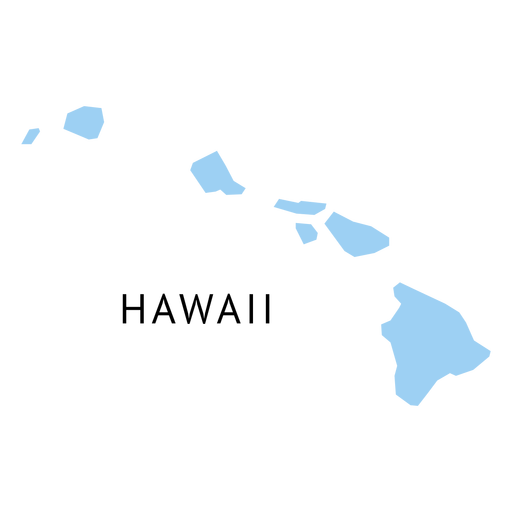
Hawaii state plain map PNG Design
Choose a folder
All favorites
Create new
Save
Hawaii state plain map PNG Design
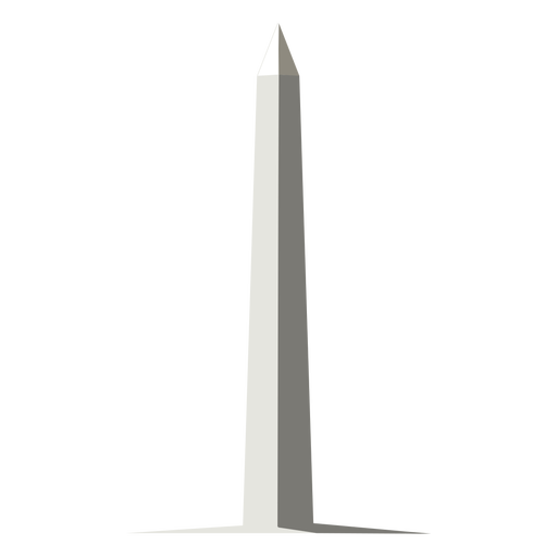
Washington monument american landmark semi flat PNG Design
Choose a folder
All favorites
Create new
Save
Washington monument american landmark semi flat PNG Design
Premium
Waving usa flag PNG Design
Choose a folder
All favorites
Create new
Save
Waving usa flag PNG Design
Premium
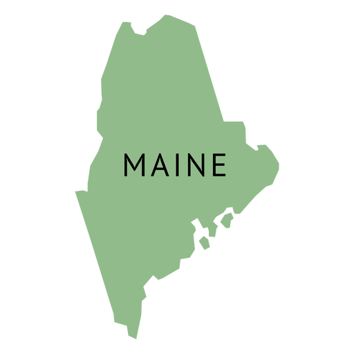
Maine state plain map PNG Design
Choose a folder
All favorites
Create new
Save
Maine state plain map PNG Design
Premium
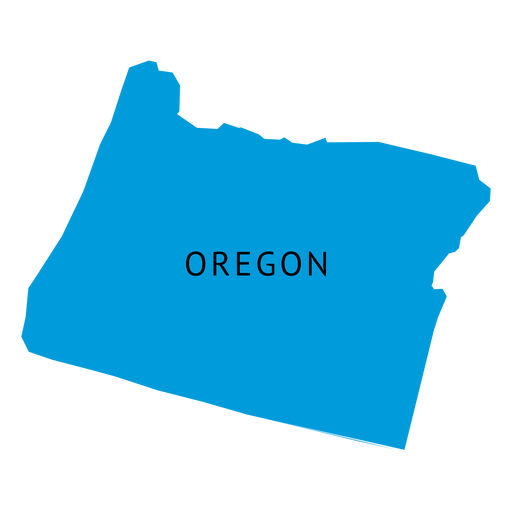
Oregon state plain map PNG Design
Choose a folder
All favorites
Create new
Save
Oregon state plain map PNG Design
Washington state stroke map PNG Design
Choose a folder
All favorites
Create new
Save
Washington state stroke map PNG Design
Premium
Massachusetts state plain map PNG Design
Choose a folder
All favorites
Create new
Save
Massachusetts state plain map PNG Design
Premium
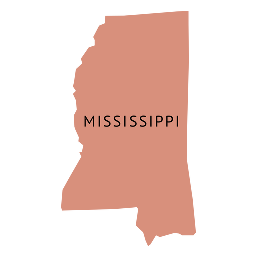
Mississippi state plain map PNG Design
Choose a folder
All favorites
Create new
Save
Mississippi state plain map PNG Design
Premium
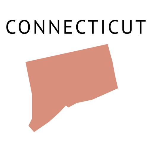
Connecticut state plain map PNG Design
Choose a folder
All favorites
Create new
Save
Connecticut state plain map PNG Design
Premium
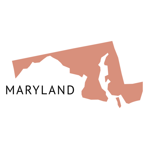
Maryland state plain map PNG Design
Choose a folder
All favorites
Create new
Save
Maryland state plain map PNG Design
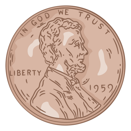
Penny illustration head PNG Design
Choose a folder
All favorites
Create new
Save
Penny illustration head PNG Design
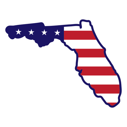
Florida state map color stroke PNG Design
Choose a folder
All favorites
Create new
Save
Florida state map color stroke PNG Design
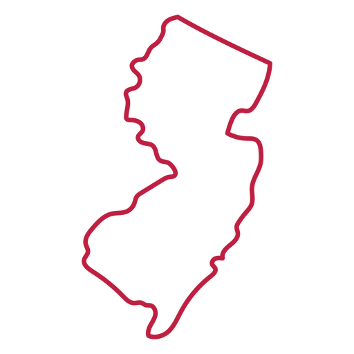
New Jersey state stroke map PNG Design
Choose a folder
All favorites
Create new
Save
New Jersey state stroke map PNG Design
Premium
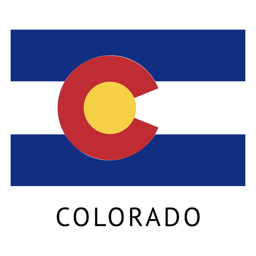
Colorado state flag PNG Design
Choose a folder
All favorites
Create new
Save
Colorado state flag PNG Design
Premium
Indiana state plain map PNG Design
Choose a folder
All favorites
Create new
Save
Indiana state plain map PNG Design
Premium
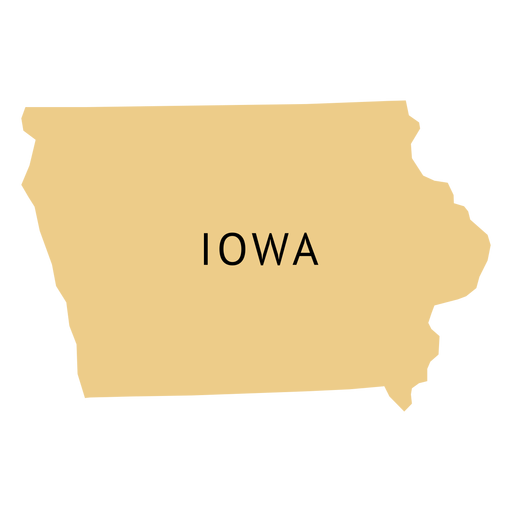
Iowa state plain map PNG Design
Choose a folder
All favorites
Create new
Save
Iowa state plain map PNG Design
Premium
Los Angeles Skyline Silhouette PNG Design
Choose a folder
All favorites
Create new
Save
Los Angeles Skyline Silhouette PNG Design
Premium
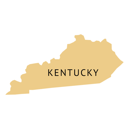
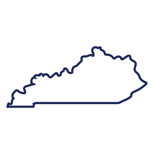
Kentucky state plain map PNG Design
Choose a folder
All favorites
Create new
Save
Kentucky state plain map PNG Design
Premium
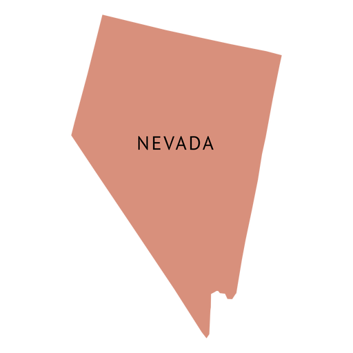
Nevada state plain map PNG Design
Choose a folder
All favorites
Create new
Save
Nevada state plain map PNG Design
Premium
Idaho state plain map PNG Design
Choose a folder
All favorites
Create new
Save
Idaho state plain map PNG Design
Premium
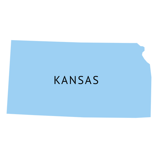
Kansas state plain map PNG Design
Choose a folder
All favorites
Create new
Save
Kansas state plain map PNG Design
Premium
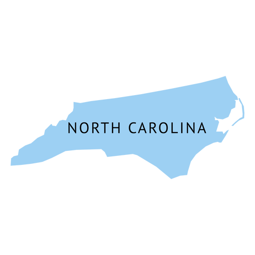
North carolina state plain map PNG Design
Choose a folder
All favorites
Create new
Save
North carolina state plain map PNG Design
Premium
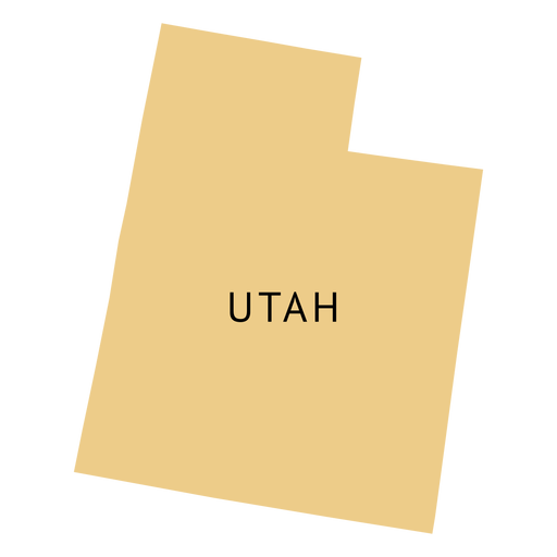
Utah state plain map PNG Design
Choose a folder
All favorites
Create new
Save
Utah state plain map PNG Design
Premium
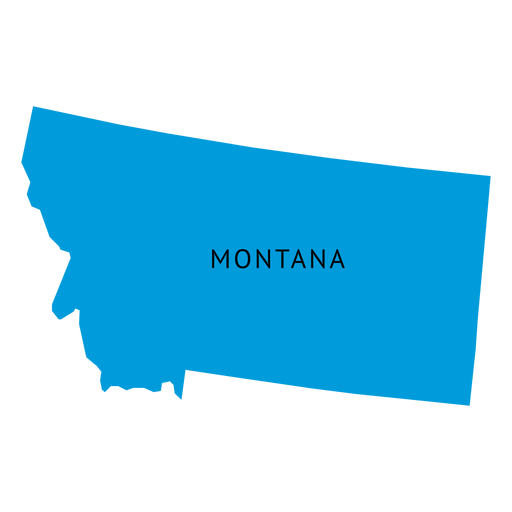
Montana state plain map PNG Design
Choose a folder
All favorites
Create new
Save
Montana state plain map PNG Design
Los angeles city skyline PNG Design
Choose a folder
All favorites
Create new
Save
Los angeles city skyline PNG Design
Premium
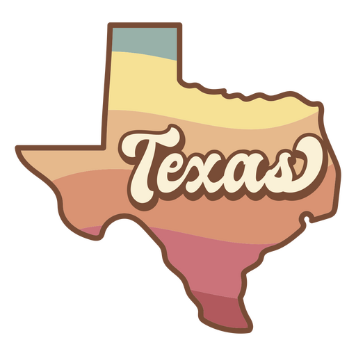
The state of texas retro map PNG Design
Choose a folder
All favorites
Create new
Save
The state of texas retro map PNG Design
North Carolina state stroke map PNG Design
Choose a folder
All favorites
Create new
Save
North Carolina state stroke map PNG Design
Premium
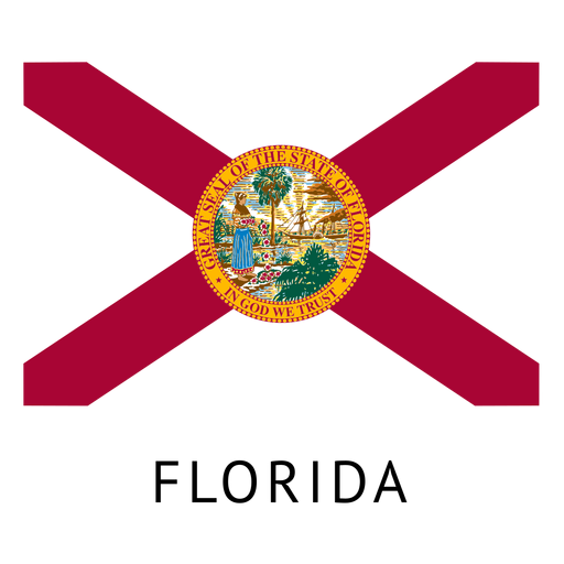
Florida state flag PNG Design
Choose a folder
All favorites
Create new
Save
Florida state flag PNG Design
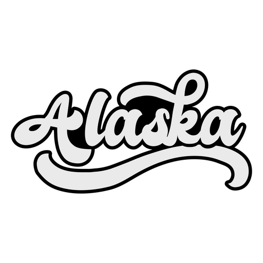
Alaska Retro Lettering PNG Design
Choose a folder
All favorites
Create new
Save
Alaska Retro Lettering PNG Design
Premium
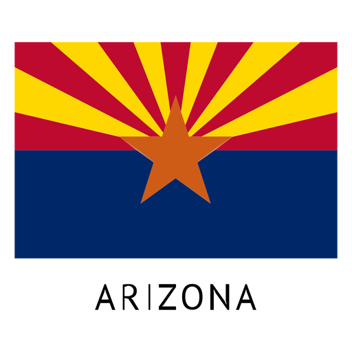
Arizona state flag PNG Design
Choose a folder
All favorites
Create new
Save
Arizona state flag PNG Design
Mississippi state stroke map PNG Design
Choose a folder
All favorites
Create new
Save
Mississippi state stroke map PNG Design
Kentucky usa map stroke PNG Design
Choose a folder
All favorites
Create new
Save
Kentucky usa map stroke PNG Design
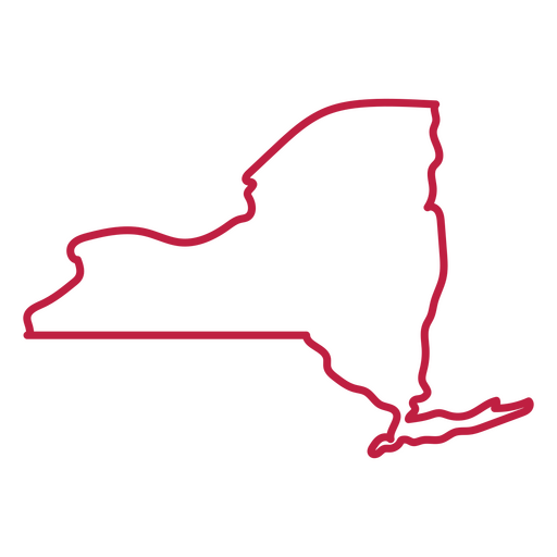
New York state stroke map PNG Design
Choose a folder
All favorites
Create new
Save
New York state stroke map PNG Design
Freedom lettering badge PNG Design
Choose a folder
All favorites
Create new
Save
Freedom lettering badge PNG Design
Illinois usa map stroke PNG Design
Choose a folder
All favorites
Create new
Save
Illinois usa map stroke PNG Design
Premium
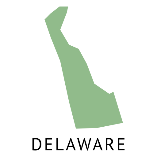
Delaware state plain map PNG Design
Choose a folder
All favorites
Create new
Save
Delaware state plain map PNG Design
Premium
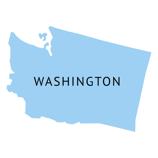
Washington state plain map PNG Design
Choose a folder
All favorites
Create new
Save
Washington state plain map PNG Design
Premium
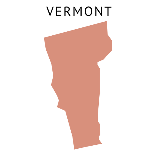
Vermont state plain map PNG Design
Choose a folder
All favorites
Create new
Save
Vermont state plain map PNG Design
Boston skyline silhouette PNG Design
Choose a folder
All favorites
Create new
Save
Boston skyline silhouette PNG Design
Premium
New York Skyline Silhouette PNG Design
Choose a folder
All favorites
Create new
Save
New York Skyline Silhouette PNG Design
Premium
Striker fifa usa 94 mascot PNG Design
Choose a folder
All favorites
Create new
Save
Striker fifa usa 94 mascot PNG Design
Premium
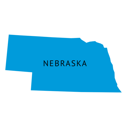
Nebraska state plain map PNG Design
Choose a folder
All favorites
Create new
Save
Nebraska state plain map PNG Design
Premium
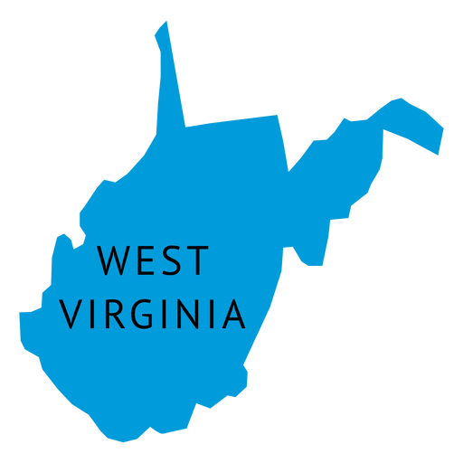
West virginia state plain map PNG Design
Choose a folder
All favorites
Create new
Save
West virginia state plain map PNG Design
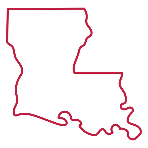
Louisiana state stroke map PNG Design
Choose a folder
All favorites
Create new
Save
Louisiana state stroke map PNG Design
Premium
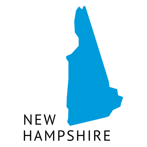
New hampshire state plain map PNG Design
Choose a folder
All favorites
Create new
Save
New hampshire state plain map PNG Design
Premium
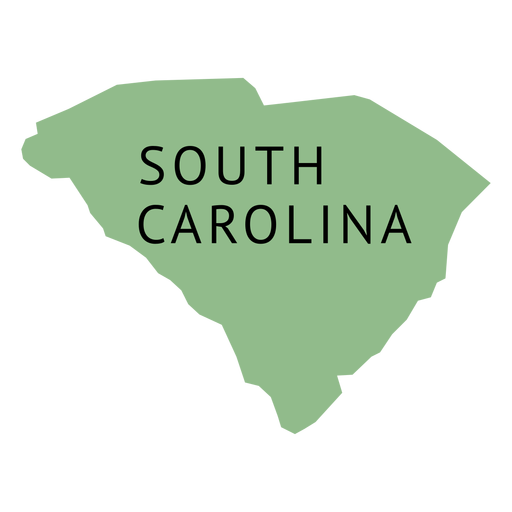
South carolina state plain map PNG Design
Choose a folder
All favorites
Create new
Save
South carolina state plain map PNG Design
3d hand drawn dollar sign PNG Design
Choose a folder
All favorites
Create new
Save
3d hand drawn dollar sign PNG Design
Virginia state stroke map PNG Design
Choose a folder
All favorites
Create new
Save
Virginia state stroke map PNG Design
American white eagle head semi flat PNG Design
Choose a folder
All favorites
Create new
Save
American white eagle head semi flat PNG Design
Premium
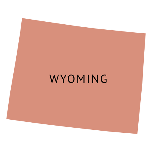
Wyoming state plain map PNG Design
Choose a folder
All favorites
Create new
Save
Wyoming state plain map PNG Design
Boost Your Business
With The Leading Graphic Platform For Merch.
SEE PLANS
Next
of 38
prev page
next page