Design Library
New Merch Designs
T-Shirts
Vectors
Trending Merch Designs
PNGs & SVGs
Mockups
T-Shirt PSD Templates
Explore Designs
KDP Designs
Posters
Mugs
Phone Cases
Tote Bags
Pillows
Design Tools
Merch Designer
New!
Mockup Generator
AI Design Generator
Image Vectorizer
Quote Generator
T-Shirt Maker (Old)
Resources
Merch Digest
Blog
Help Center
Learn About Merch
Feedback
Corporate Solutions
Enterprise
API Access
Design Studio
Bulk Design Production
Pricing
Loading...
Sign Up
Login
PNGs For Merch
country
maps
Design Library
New Merch Designs
T-Shirts
Vectors
Trending Merch Designs
PNGs & SVGs
Mockups
T-Shirt PSD Templates
Explore Designs
KDP Designs
Posters
Mugs
Phone Cases
Tote Bags
Pillows
Design Tools
Merch Designer
New!
Mockup Generator
AI Design Generator
Image Vectorizer
Quote Generator
T-Shirt Maker (Old)
Resources
Merch Digest
Blog
Help Center
Learn About Merch
Feedback
Corporate Solutions
Enterprise
API Access
Design Studio
Bulk Design Production
PLANS
PNGs For Merch
country
maps
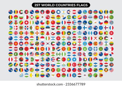
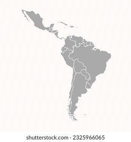
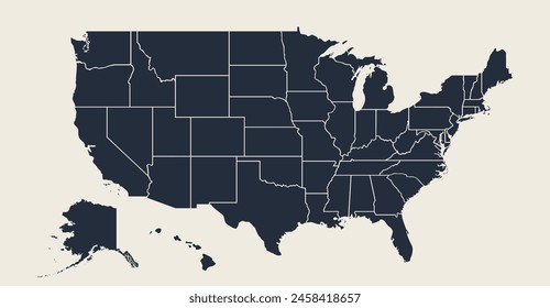
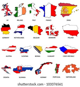
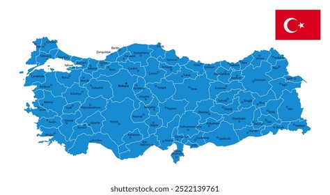
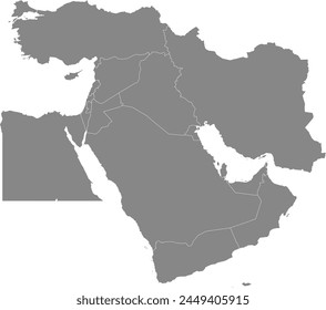
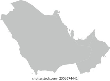
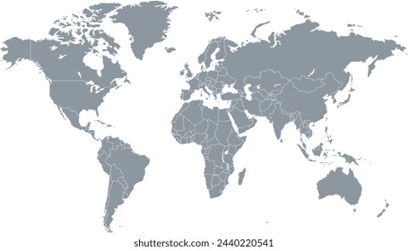
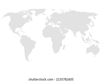
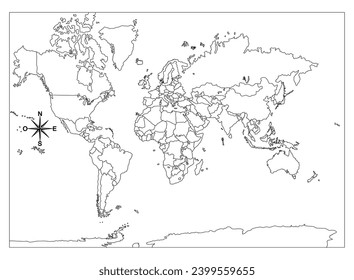
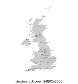
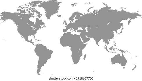
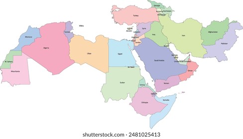
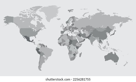
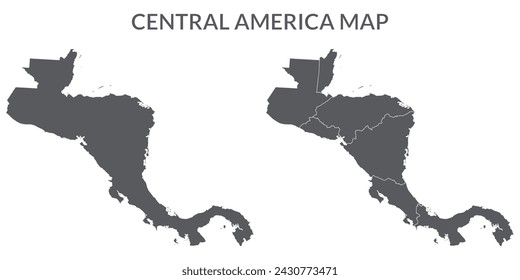
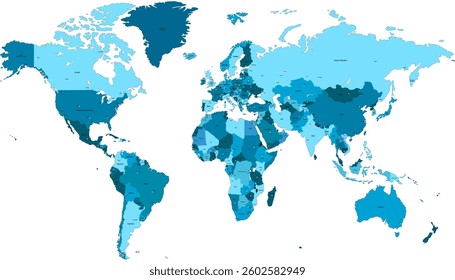
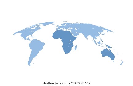
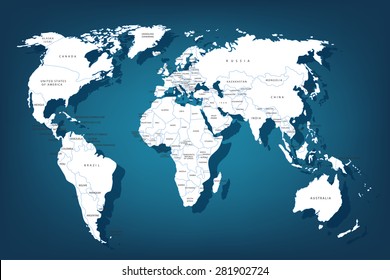
1893 country maps PNG and SVG design graphic
Download country maps PNG & SVG Designs with transparent background for T-Shirts, book covers, phone cases and other merch.
Sort by
Most relevant
Sponsored results by
Get 15% off with code: VEXELS15
Show more
Premium
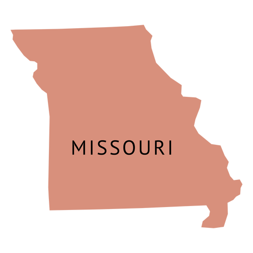
Missouri state plain map PNG Design
Choose a folder
All favorites
Create new
Save
Missouri state plain map PNG Design
Premium
Costa rica national flag PNG Design
Choose a folder
All favorites
Create new
Save
Costa rica national flag PNG Design
Premium
Jamaica national flag PNG Design
Choose a folder
All favorites
Create new
Save
Jamaica national flag PNG Design
Premium
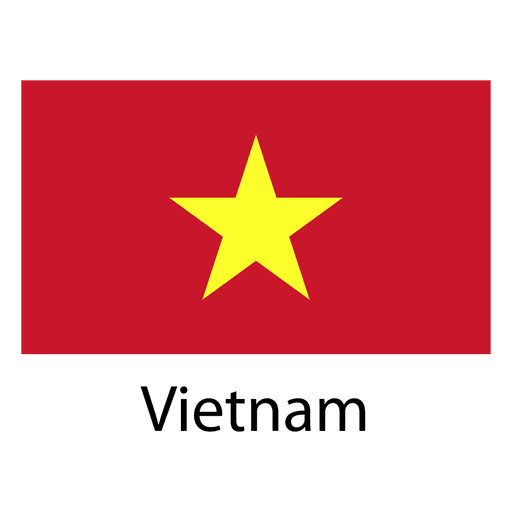
Vietnam national flag PNG Design
Choose a folder
All favorites
Create new
Save
Vietnam national flag PNG Design
Premium
California state flag PNG Design
Choose a folder
All favorites
Create new
Save
California state flag PNG Design
Premium
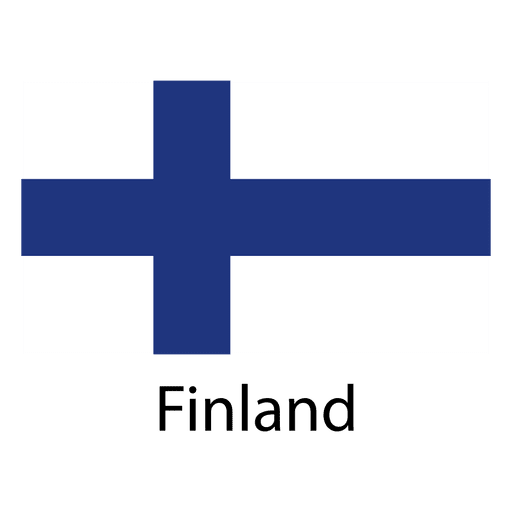
Finland national flag PNG Design
Choose a folder
All favorites
Create new
Save
Finland national flag PNG Design
Premium
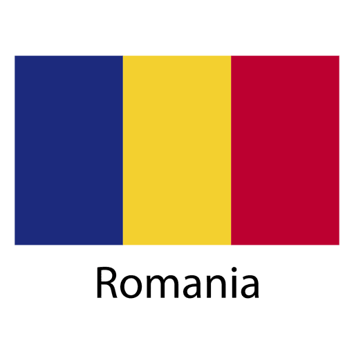
Romania national flag PNG Design
Choose a folder
All favorites
Create new
Save
Romania national flag PNG Design
Premium
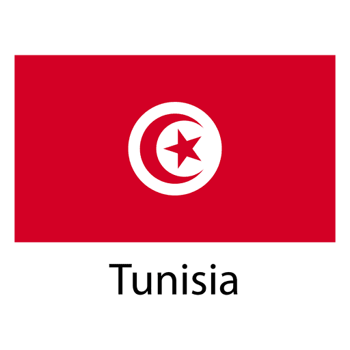
Tunisia national flag PNG Design
Choose a folder
All favorites
Create new
Save
Tunisia national flag PNG Design
Premium
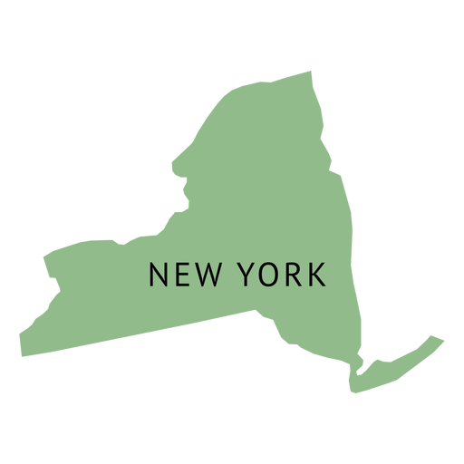
New york state plain map PNG Design
Choose a folder
All favorites
Create new
Save
New york state plain map PNG Design
Premium
Tennessee state plain map PNG Design
Choose a folder
All favorites
Create new
Save
Tennessee state plain map PNG Design
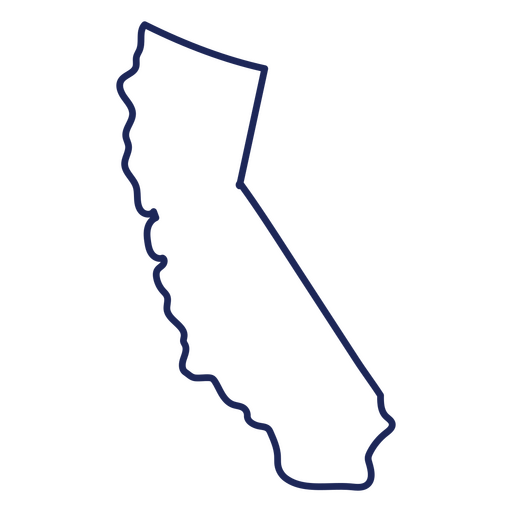
California usa map stroke PNG Design
Choose a folder
All favorites
Create new
Save
California usa map stroke PNG Design
Premium
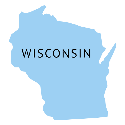
Wisconsin state plain map PNG Design
Choose a folder
All favorites
Create new
Save
Wisconsin state plain map PNG Design
Premium
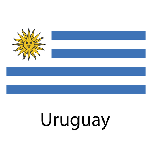
Uruguay national flag PNG Design
Choose a folder
All favorites
Create new
Save
Uruguay national flag PNG Design
Premium
New jersey state plain map PNG Design
Choose a folder
All favorites
Create new
Save
New jersey state plain map PNG Design
Premium
Hungary national flag PNG Design
Choose a folder
All favorites
Create new
Save
Hungary national flag PNG Design
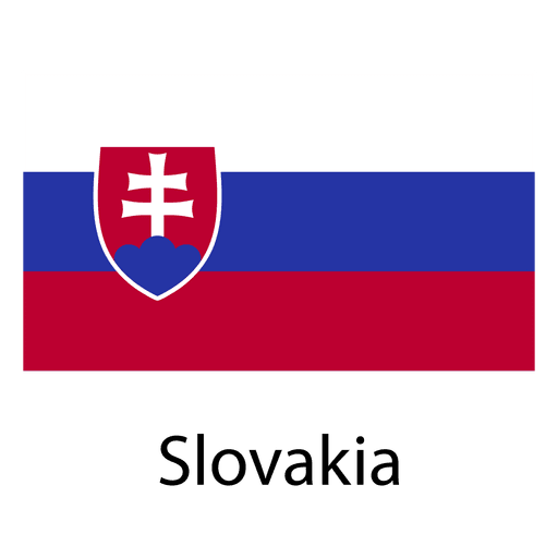
Premium
Slovakia national flag PNG Design
Choose a folder
All favorites
Create new
Save
Slovakia national flag PNG Design
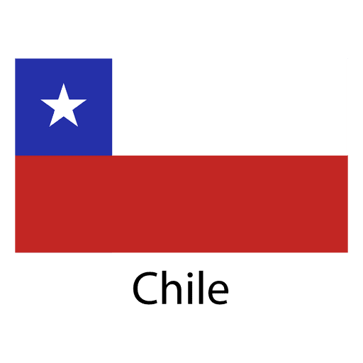
Premium
Chile national flag PNG Design
Choose a folder
All favorites
Create new
Save
Chile national flag PNG Design
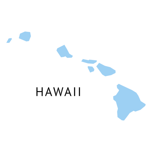
Premium
Hawaii state plain map PNG Design
Choose a folder
All favorites
Create new
Save
Hawaii state plain map PNG Design
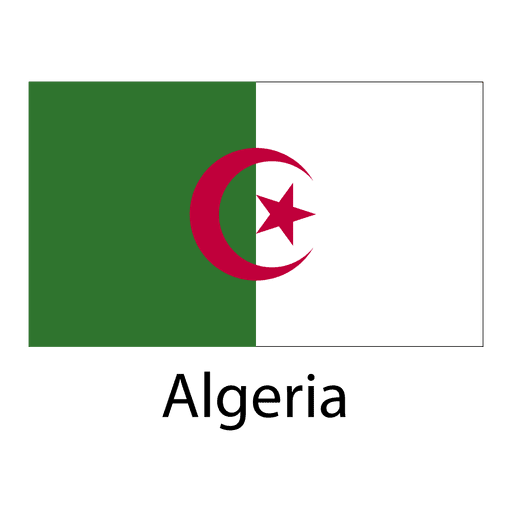
Premium
Algeria national flag PNG Design
Choose a folder
All favorites
Create new
Save
Algeria national flag PNG Design
Premium
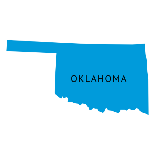
Oklahoma state plain map PNG Design
Choose a folder
All favorites
Create new
Save
Oklahoma state plain map PNG Design
Premium
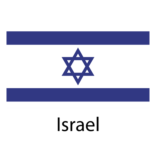
Israel national flag PNG Design
Choose a folder
All favorites
Create new
Save
Israel national flag PNG Design
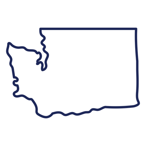
Washington state stroke map PNG Design
Choose a folder
All favorites
Create new
Save
Washington state stroke map PNG Design
Premium
Saudi arabia national flag PNG Design
Choose a folder
All favorites
Create new
Save
Saudi arabia national flag PNG Design
Premium
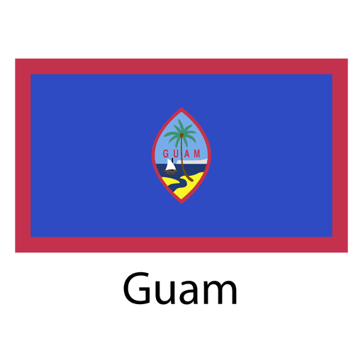
Guam national flag PNG Design
Choose a folder
All favorites
Create new
Save
Guam national flag PNG Design
Premium
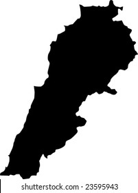
Lebanon national flag PNG Design
Choose a folder
All favorites
Create new
Save
Lebanon national flag PNG Design
Premium
Nepal national flag PNG Design
Choose a folder
All favorites
Create new
Save
Nepal national flag PNG Design
Premium
Dominican republic national flag PNG Design
Choose a folder
All favorites
Create new
Save
Dominican republic national flag PNG Design
Premium
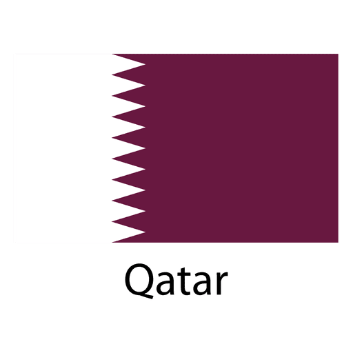
Qatar national flag PNG Design
Choose a folder
All favorites
Create new
Save
Qatar national flag PNG Design
Michigan usa map silhouette PNG Design
Choose a folder
All favorites
Create new
Save
Michigan usa map silhouette PNG Design
Premium
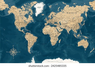
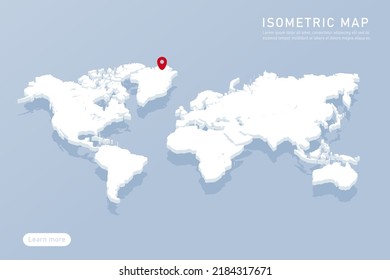
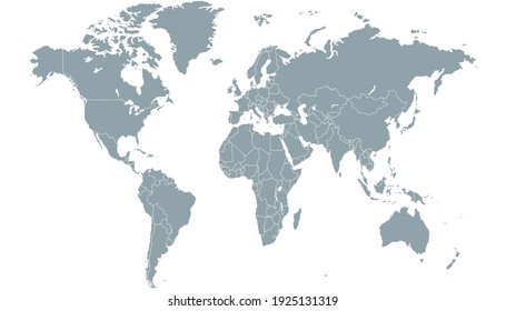
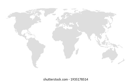
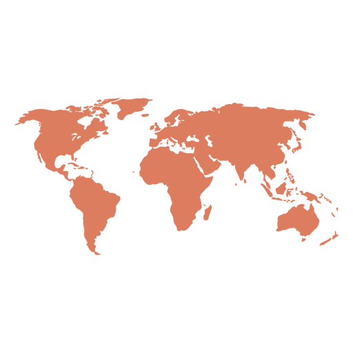
World map illustration PNG Design
Choose a folder
All favorites
Create new
Save
World map illustration PNG Design
Premium
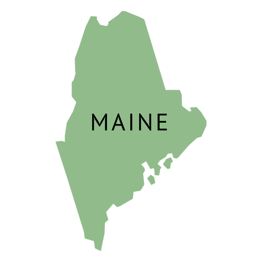
Maine state plain map PNG Design
Choose a folder
All favorites
Create new
Save
Maine state plain map PNG Design
Premium
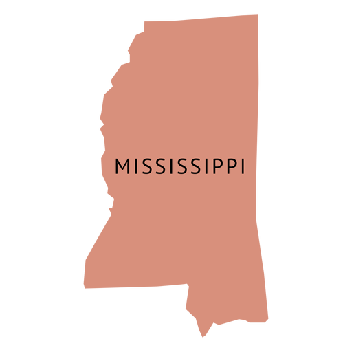
Mississippi state plain map PNG Design
Choose a folder
All favorites
Create new
Save
Mississippi state plain map PNG Design
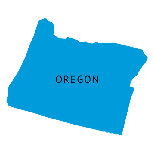
Premium
Oregon state plain map PNG Design
Choose a folder
All favorites
Create new
Save
Oregon state plain map PNG Design
Premium
Cambodia national flag PNG Design
Choose a folder
All favorites
Create new
Save
Cambodia national flag PNG Design
Premium
Massachusetts state plain map PNG Design
Choose a folder
All favorites
Create new
Save
Massachusetts state plain map PNG Design
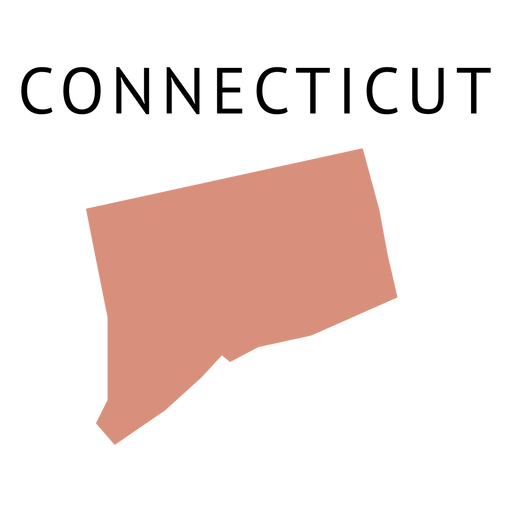
Premium
Connecticut state plain map PNG Design
Choose a folder
All favorites
Create new
Save
Connecticut state plain map PNG Design
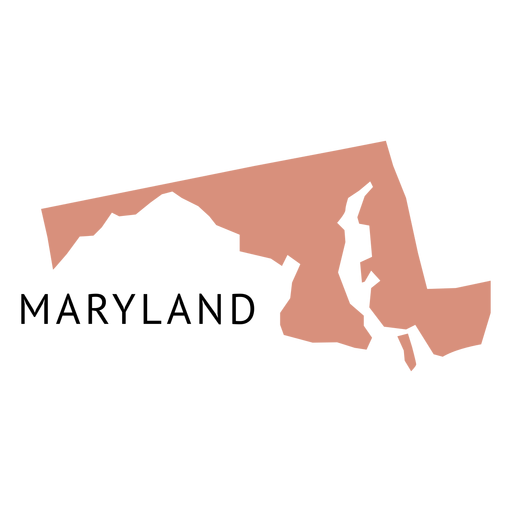
Premium
Maryland state plain map PNG Design
Choose a folder
All favorites
Create new
Save
Maryland state plain map PNG Design
Premium
Nigeria national flag PNG Design
Choose a folder
All favorites
Create new
Save
Nigeria national flag PNG Design
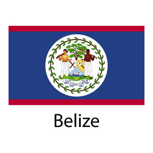
Premium
Belize national flag PNG Design
Choose a folder
All favorites
Create new
Save
Belize national flag PNG Design
Premium
Ghana national flag PNG Design
Choose a folder
All favorites
Create new
Save
Ghana national flag PNG Design
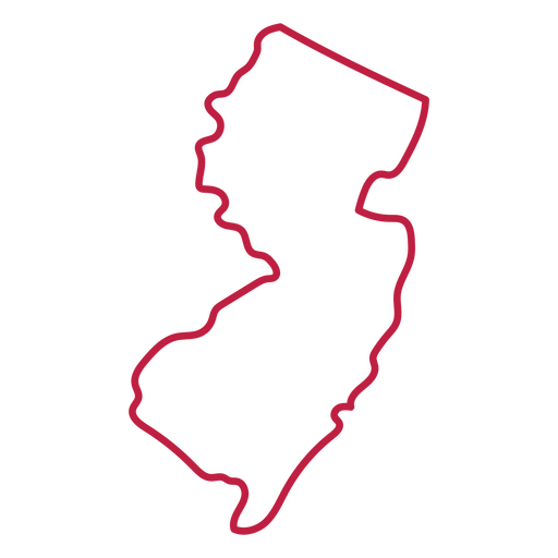
New Jersey state stroke map PNG Design
Choose a folder
All favorites
Create new
Save
New Jersey state stroke map PNG Design
Premium
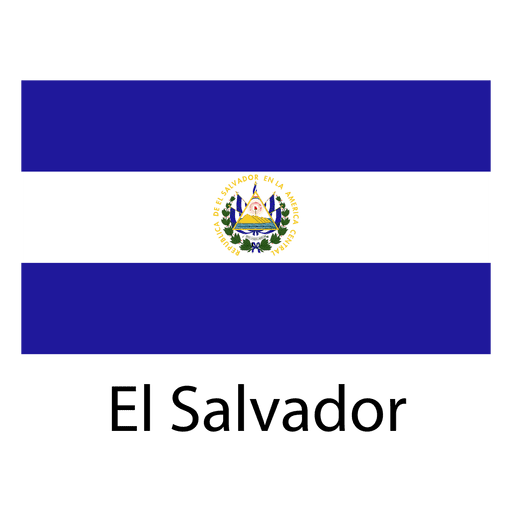
El salvador national flag PNG Design
Choose a folder
All favorites
Create new
Save
El salvador national flag PNG Design
Premium
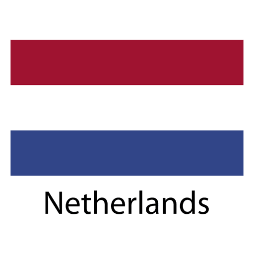
Netherlands national flag PNG Design
Choose a folder
All favorites
Create new
Save
Netherlands national flag PNG Design
Premium
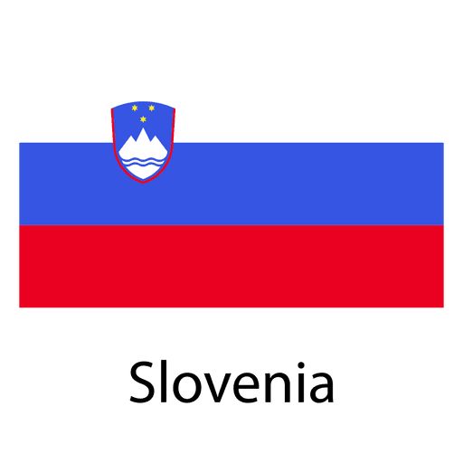
Slovenia national flag PNG Design
Choose a folder
All favorites
Create new
Save
Slovenia national flag PNG Design
Premium
England flag language icon circle PNG Design
Choose a folder
All favorites
Create new
Save
England flag language icon circle PNG Design
Premium
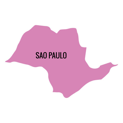
Sao paulo state map PNG Design
Choose a folder
All favorites
Create new
Save
Sao paulo state map PNG Design
Premium
Barbados national flag PNG Design
Choose a folder
All favorites
Create new
Save
Barbados national flag PNG Design
Premium
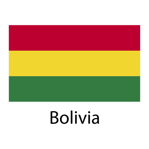
Bolivia national flag PNG Design
Choose a folder
All favorites
Create new
Save
Bolivia national flag PNG Design
Premium
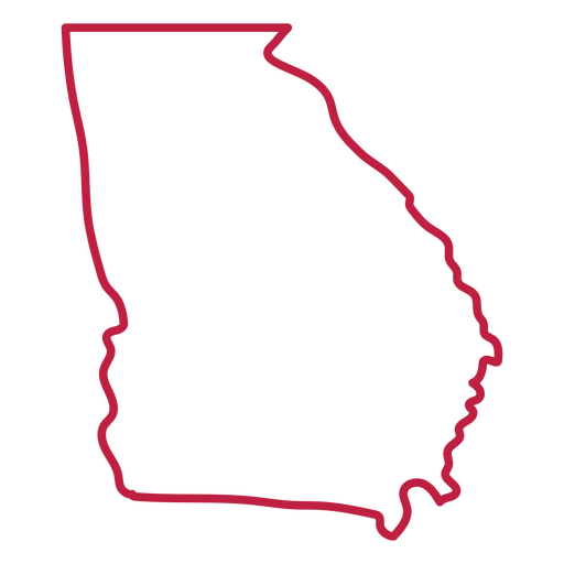
Georgia national flag PNG Design
Choose a folder
All favorites
Create new
Save
Georgia national flag PNG Design
Georgia usa map stroke PNG Design
Choose a folder
All favorites
Create new
Save
Georgia usa map stroke PNG Design
Boost Your Business
With The Leading Graphic Platform For Merch.
SEE PLANS
Next
of 38
prev page
next page