Design Library
New Merch Designs
T-Shirts
Vectors
Trending Merch Designs
PNGs & SVGs
Mockups
T-Shirt PSD Templates
Explore Designs
KDP Designs
Posters
Mugs
Phone Cases
Tote Bags
Pillows
Design Tools
Merch Designer
New!
Mockup Generator
AI Design Generator
Image Vectorizer
Quote Generator
T-Shirt Maker (Old)
Resources
Merch Digest
Blog
Help Center
Learn About Merch
Feedback
Corporate Solutions
Enterprise
API Access
Design Studio
Bulk Design Production
Pricing
Loading...
Sign Up
Login
PNGs For Merch
country
map
Design Library
New Merch Designs
T-Shirts
Vectors
Trending Merch Designs
PNGs & SVGs
Mockups
T-Shirt PSD Templates
Explore Designs
KDP Designs
Posters
Mugs
Phone Cases
Tote Bags
Pillows
Design Tools
Merch Designer
New!
Mockup Generator
AI Design Generator
Image Vectorizer
Quote Generator
T-Shirt Maker (Old)
Resources
Merch Digest
Blog
Help Center
Learn About Merch
Feedback
Corporate Solutions
Enterprise
API Access
Design Studio
Bulk Design Production
PLANS
PNGs For Merch
country
map
876 country map PNG and SVG design graphic
Download country map PNG & SVG Designs with transparent background for T-Shirts, book covers, phone cases and other merch.
Related:
country maps
Sort by
Most relevant
Sponsored results by
Get 15% off with code: VEXELS15
Show more
Premium
Stylized silhouette of the czech republic PNG Design
Choose a folder
All favorites
Create new
Save
Stylized silhouette of the czech republic PNG Design
Premium
Stylized silhouette of bulgaria PNG Design
Choose a folder
All favorites
Create new
Save
Stylized silhouette of bulgaria PNG Design
Premium
Silhouette of a geographic shape design PNG Design
Choose a folder
All favorites
Create new
Save
Silhouette of a geographic shape design PNG Design
Premium
Geometric black silhouette design of a state outline PNG Design
Choose a folder
All favorites
Create new
Save
Geometric black silhouette design of a state outline PNG Design
Premium
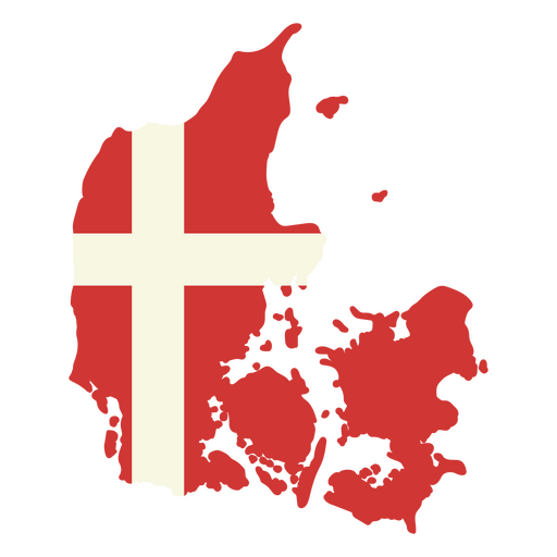
Map of denmark with the flag of denmark PNG Design
Choose a folder
All favorites
Create new
Save
Map of denmark with the flag of denmark PNG Design
Premium
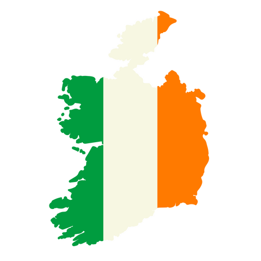
Map of ireland with the flag of ireland PNG Design
Choose a folder
All favorites
Create new
Save
Map of ireland with the flag of ireland PNG Design
Premium
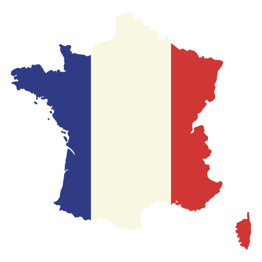
Map of france with the flag on it PNG Design
Choose a folder
All favorites
Create new
Save
Map of france with the flag on it PNG Design
Premium
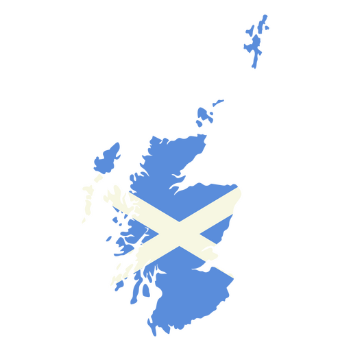
Map of scotland with the flag of scotland PNG Design
Choose a folder
All favorites
Create new
Save
Map of scotland with the flag of scotland PNG Design
Premium
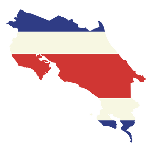
The map of costa rica with the flag PNG Design
Choose a folder
All favorites
Create new
Save
The map of costa rica with the flag PNG Design
Premium
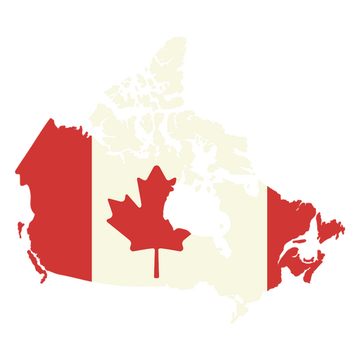
Map of canada with the canadian flag on it PNG Design
Choose a folder
All favorites
Create new
Save
Map of canada with the canadian flag on it PNG Design
Premium
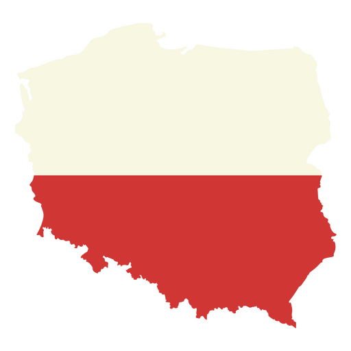
Map of poland with the flag of poland PNG Design
Choose a folder
All favorites
Create new
Save
Map of poland with the flag of poland PNG Design
Premium
Map of the United States with an American flag on it PNG Design
Choose a folder
All favorites
Create new
Save
Map of the United States with an American flag on it PNG Design
Premium
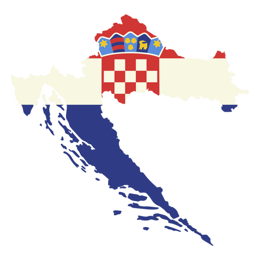
Map of croatia with the flag of croatia PNG Design
Choose a folder
All favorites
Create new
Save
Map of croatia with the flag of croatia PNG Design
Premium
Map of haiti with the flag of haiti PNG Design
Choose a folder
All favorites
Create new
Save
Map of haiti with the flag of haiti PNG Design
Premium
Stylish outline map of mexico design PNG Design
Choose a folder
All favorites
Create new
Save
Stylish outline map of mexico design PNG Design
Premium
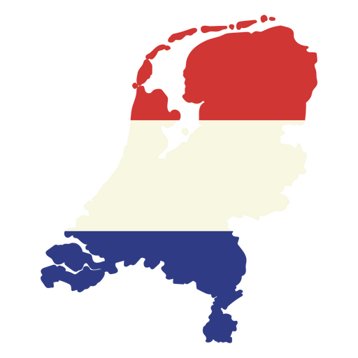
Map of the netherlands with the flag of the netherlands PNG Design
Choose a folder
All favorites
Create new
Save
Map of the netherlands with the flag of the netherlands PNG Design
Premium
Stylized silhouette of india map design PNG Design
Choose a folder
All favorites
Create new
Save
Stylized silhouette of india map design PNG Design
Premium
Map of japan with a red flag PNG Design
Choose a folder
All favorites
Create new
Save
Map of japan with a red flag PNG Design
Premium
The map of South Africa with the flag PNG Design
Choose a folder
All favorites
Create new
Save
The map of South Africa with the flag PNG Design
Premium
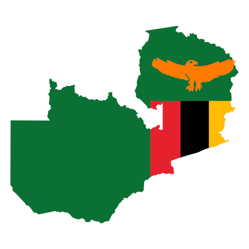
Map of zimbabwe with an eagle and flag PNG Design
Choose a folder
All favorites
Create new
Save
Map of zimbabwe with an eagle and flag PNG Design
Premium
Map with the flag of belgium PNG Design
Choose a folder
All favorites
Create new
Save
Map with the flag of belgium PNG Design
Premium
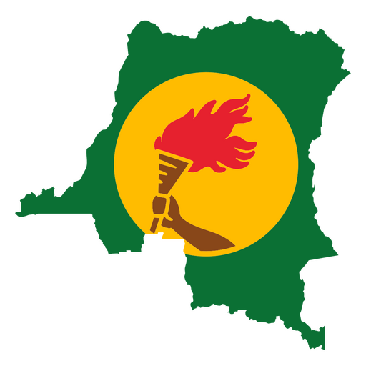
Map of Guinea featuring a flaming torch PNG Design
Choose a folder
All favorites
Create new
Save
Map of Guinea featuring a flaming torch PNG Design
Premium
Map of qatar with the flag of qatar PNG Design
Choose a folder
All favorites
Create new
Save
Map of qatar with the flag of qatar PNG Design
Premium
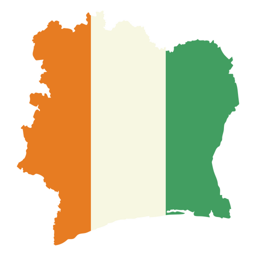
Stylized map of ivory coast with national colors PNG Design
Choose a folder
All favorites
Create new
Save
Stylized map of ivory coast with national colors PNG Design
Premium
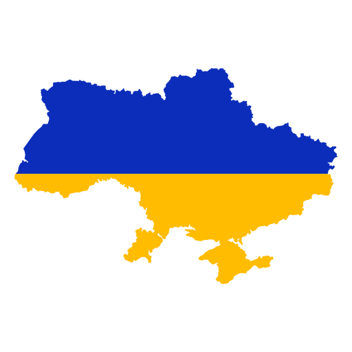
Stylized ukraine map design in blue and yellow PNG Design
Choose a folder
All favorites
Create new
Save
Stylized ukraine map design in blue and yellow PNG Design
Premium
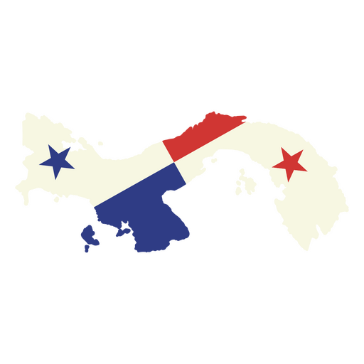
Stylized panama map design PNG Design
Choose a folder
All favorites
Create new
Save
Stylized panama map design PNG Design
Premium
Vibrant map design of cameroon with national colors PNG Design
Choose a folder
All favorites
Create new
Save
Vibrant map design of cameroon with national colors PNG Design
Premium
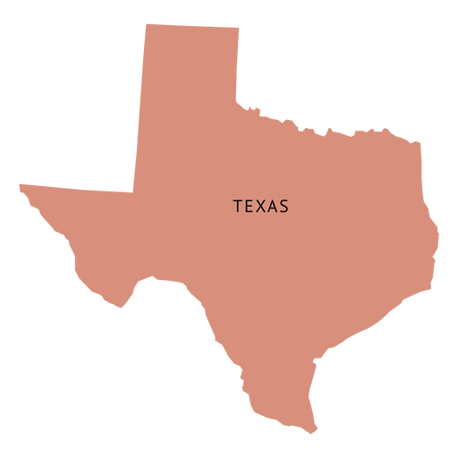
Texas state plain map PNG Design
Choose a folder
All favorites
Create new
Save
Texas state plain map PNG Design
Premium
Ohio state stroke map PNG Design
Choose a folder
All favorites
Create new
Save
Ohio state stroke map PNG Design
Premium
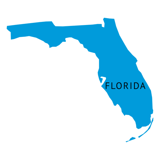
Florida state plain map PNG Design
Choose a folder
All favorites
Create new
Save
Florida state plain map PNG Design
Premium
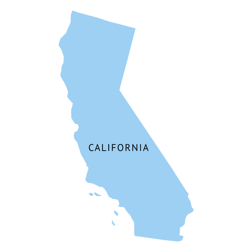
California state plain map PNG Design
Choose a folder
All favorites
Create new
Save
California state plain map PNG Design
Texas usa map silhouette PNG Design
Choose a folder
All favorites
Create new
Save
Texas usa map silhouette PNG Design
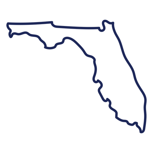
Florida usa map stroke PNG Design
Choose a folder
All favorites
Create new
Save
Florida usa map stroke PNG Design
Premium
Georgia state plain map PNG Design
Choose a folder
All favorites
Create new
Save
Georgia state plain map PNG Design
Premium
Michigan state plain map PNG Design
Choose a folder
All favorites
Create new
Save
Michigan state plain map PNG Design
Premium
Ohio state plain map PNG Design
Choose a folder
All favorites
Create new
Save
Ohio state plain map PNG Design
Ohio usa map silhouette PNG Design
Choose a folder
All favorites
Create new
Save
Ohio usa map silhouette PNG Design
Premium
Alaska state plain map PNG Design
Choose a folder
All favorites
Create new
Save
Alaska state plain map PNG Design
Premium
Arizona state plain map PNG Design
Choose a folder
All favorites
Create new
Save
Arizona state plain map PNG Design
Premium
Virginia state plain map PNG Design
Choose a folder
All favorites
Create new
Save
Virginia state plain map PNG Design
Premium
Arkansas state plain map PNG Design
Choose a folder
All favorites
Create new
Save
Arkansas state plain map PNG Design
Premium
Minnesota state plain map PNG Design
Choose a folder
All favorites
Create new
Save
Minnesota state plain map PNG Design
Premium
Pennsylvania state plain map PNG Design
Choose a folder
All favorites
Create new
Save
Pennsylvania state plain map PNG Design
Premium
Colorado state plain map PNG Design
Choose a folder
All favorites
Create new
Save
Colorado state plain map PNG Design
Premium
Alabama state plain map PNG Design
Choose a folder
All favorites
Create new
Save
Alabama state plain map PNG Design
Maine state stroke map PNG Design
Choose a folder
All favorites
Create new
Save
Maine state stroke map PNG Design
Premium
Missouri state plain map PNG Design
Choose a folder
All favorites
Create new
Save
Missouri state plain map PNG Design
Premium
New york state plain map PNG Design
Choose a folder
All favorites
Create new
Save
New york state plain map PNG Design
Premium
New jersey state plain map PNG Design
Choose a folder
All favorites
Create new
Save
New jersey state plain map PNG Design
Premium
Tennessee state plain map PNG Design
Choose a folder
All favorites
Create new
Save
Tennessee state plain map PNG Design
Boost Your Business
With The Leading Graphic Platform For Merch.
SEE PLANS
Next
of 18
prev page
next page