Design Library
New Merch Designs
T-Shirts
Vectors
Trending Merch Designs
PNGs & SVGs
Mockups
T-Shirt PSD Templates
Explore Designs
KDP Designs
Posters
Mugs
Phone Cases
Tote Bags
Pillows
Design Tools
Merch Designer
New!
Mockup Generator
AI Design Generator
Image Vectorizer
Quote Generator
T-Shirt Maker (Old)
Resources
Merch Digest
Blog
Help Center
Learn About Merch
Feedback
Corporate Solutions
Enterprise
API Access
Design Studio
Bulk Design Production
Pricing
Loading...
Sign Up
Login
PNGs For Merch
country
map
Design Library
New Merch Designs
T-Shirts
Vectors
Trending Merch Designs
PNGs & SVGs
Mockups
T-Shirt PSD Templates
Explore Designs
KDP Designs
Posters
Mugs
Phone Cases
Tote Bags
Pillows
Design Tools
Merch Designer
New!
Mockup Generator
AI Design Generator
Image Vectorizer
Quote Generator
T-Shirt Maker (Old)
Resources
Merch Digest
Blog
Help Center
Learn About Merch
Feedback
Corporate Solutions
Enterprise
API Access
Design Studio
Bulk Design Production
PLANS
PNGs For Merch
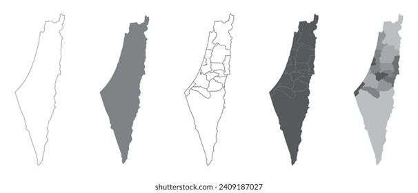
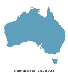
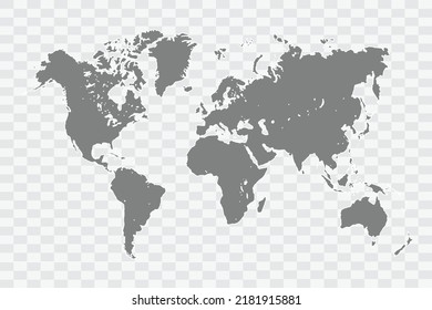
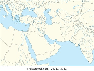
country
map
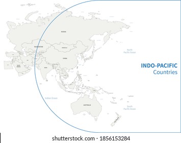
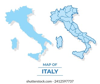
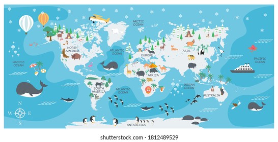
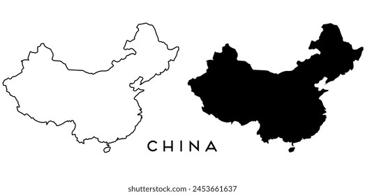
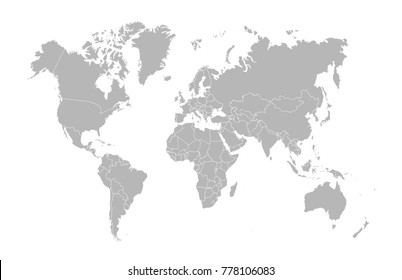
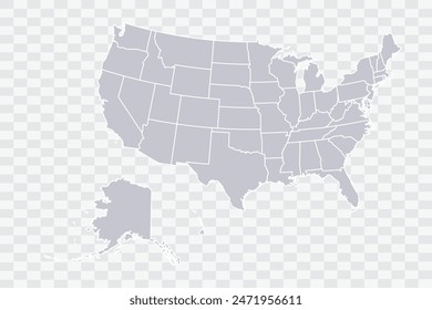
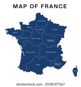
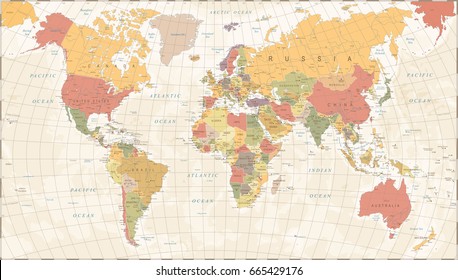
876 country map PNG and SVG design graphic
Download country map PNG & SVG Designs with transparent background for T-Shirts, book covers, phone cases and other merch.
Related:
country maps
Sort by
Most relevant
Sponsored results by
Get 15% off with code: VEXELS15
Show more
Premium
Ostergotland county map PNG Design
Choose a folder
All favorites
Create new
Save
Ostergotland county map PNG Design
Premium
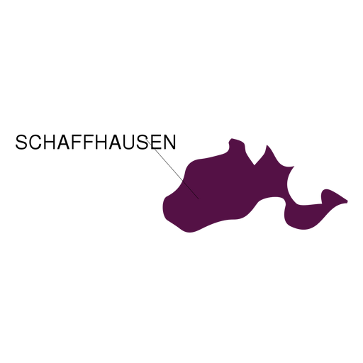
Schaffhausen canton map PNG Design
Choose a folder
All favorites
Create new
Save
Schaffhausen canton map PNG Design
Premium
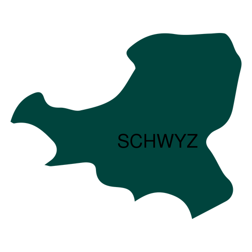
Schwyz canton map PNG Design
Choose a folder
All favorites
Create new
Save
Schwyz canton map PNG Design
Premium
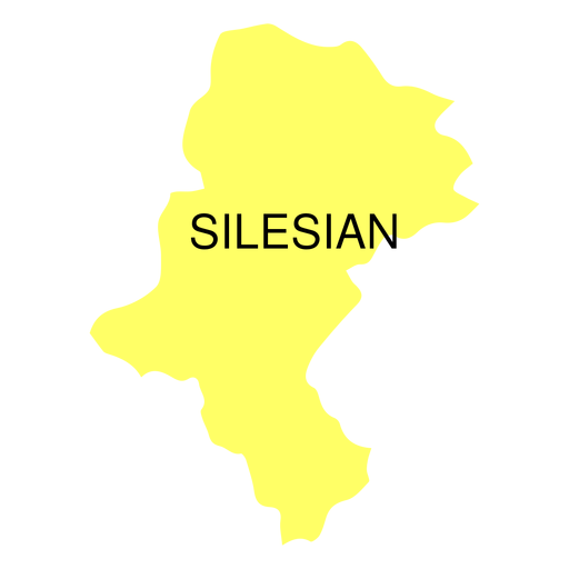
Silesian voivodeship map PNG Design
Choose a folder
All favorites
Create new
Save
Silesian voivodeship map PNG Design
Premium
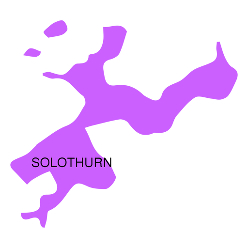
Solothurn canton map PNG Design
Choose a folder
All favorites
Create new
Save
Solothurn canton map PNG Design
Premium
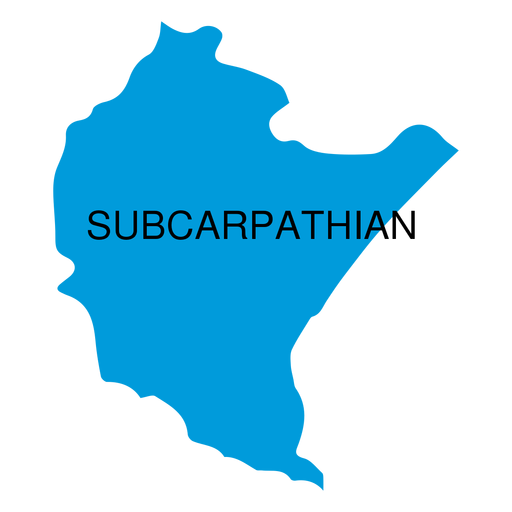
Subcarpathian voivodeship map PNG Design
Choose a folder
All favorites
Create new
Save
Subcarpathian voivodeship map PNG Design
Premium
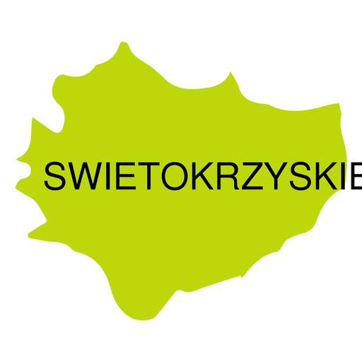
Swietokrzyskie voivodeship map PNG Design
Choose a folder
All favorites
Create new
Save
Swietokrzyskie voivodeship map PNG Design
Premium
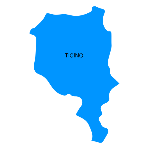
Ticino canton map PNG Design
Choose a folder
All favorites
Create new
Save
Ticino canton map PNG Design
Premium
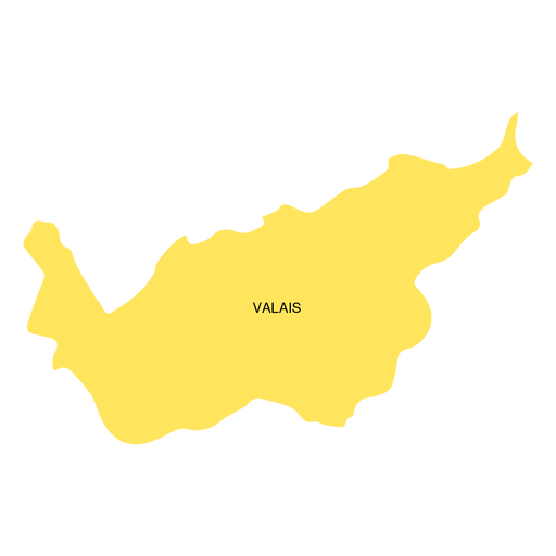
Valais canton map PNG Design
Choose a folder
All favorites
Create new
Save
Valais canton map PNG Design
Premium
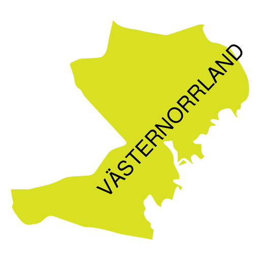
Vasternorrland county map PNG Design
Choose a folder
All favorites
Create new
Save
Vasternorrland county map PNG Design
Premium
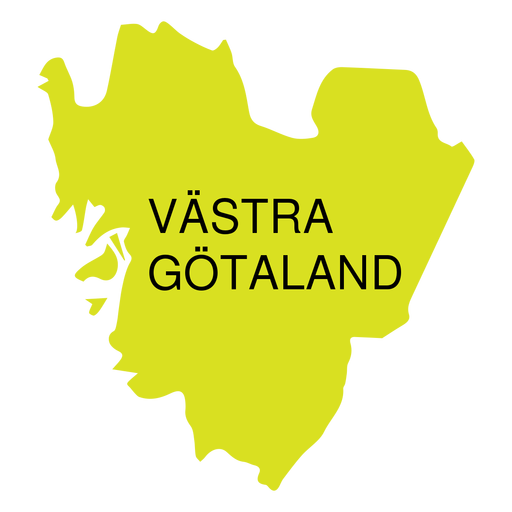
Vastra gotland county map PNG Design
Choose a folder
All favorites
Create new
Save
Vastra gotland county map PNG Design
Premium
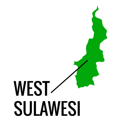
West sulawesi province map PNG Design
Choose a folder
All favorites
Create new
Save
West sulawesi province map PNG Design
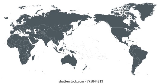
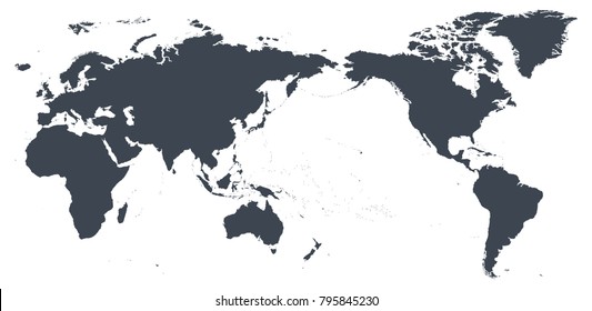
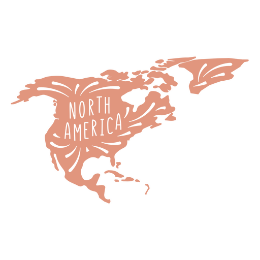
North America continent silhouette PNG Design
Choose a folder
All favorites
Create new
Save
North America continent silhouette PNG Design
Premium
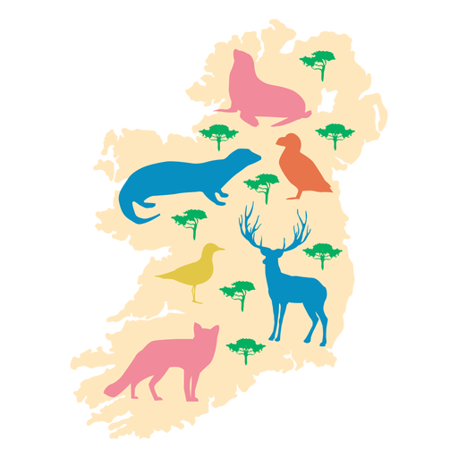
Ireland animal illustration PNG Design
Choose a folder
All favorites
Create new
Save
Ireland animal illustration PNG Design
Premium
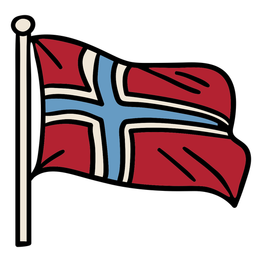
Hand drawn norway flag PNG Design
Choose a folder
All favorites
Create new
Save
Hand drawn norway flag PNG Design
Premium
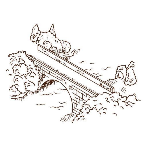
Bridge above the river line art PNG Design
Choose a folder
All favorites
Create new
Save
Bridge above the river line art PNG Design
'Merica badge cut out PNG Design
Choose a folder
All favorites
Create new
Save
'Merica badge cut out PNG Design
America badge cut out PNG Design
Choose a folder
All favorites
Create new
Save
America badge cut out PNG Design
Premium
Norway waving flag design PNG Design
Choose a folder
All favorites
Create new
Save
Norway waving flag design PNG Design
Premium
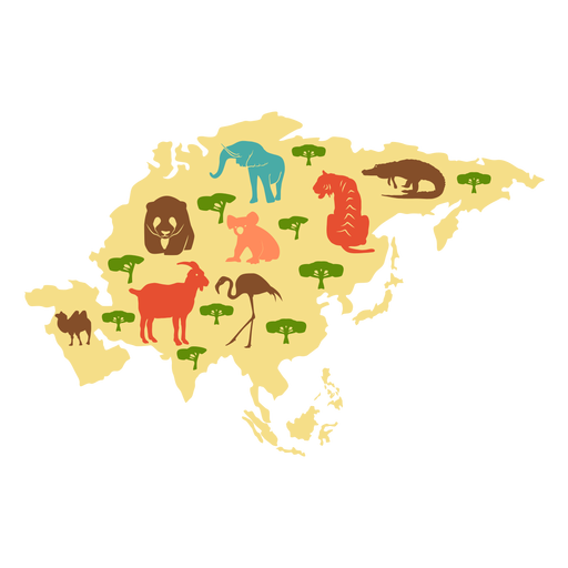
Asia continent illustration PNG Design
Choose a folder
All favorites
Create new
Save
Asia continent illustration PNG Design
Premium
Artistic usa flag silhouette design PNG Design
Choose a folder
All favorites
Create new
Save
Artistic usa flag silhouette design PNG Design
Premium
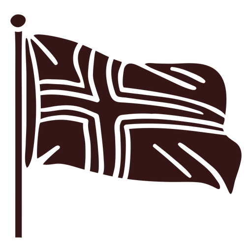
Norway waving flag stroke PNG Design
Choose a folder
All favorites
Create new
Save
Norway waving flag stroke PNG Design
Premium
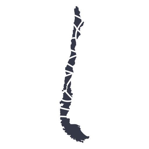
Chile's mandala style PNG Design
Choose a folder
All favorites
Create new
Save
Chile's mandala style PNG Design
USA liberty badge cut out PNG Design
Choose a folder
All favorites
Create new
Save
USA liberty badge cut out PNG Design
USA love badge cut out PNG Design
Choose a folder
All favorites
Create new
Save
USA love badge cut out PNG Design
USA badge cut out PNG Design
Choose a folder
All favorites
Create new
Save
USA badge cut out PNG Design
Boost Your Business
With The Leading Graphic Platform For Merch.
SEE PLANS
of 18
prev page
next page