Design Library
New Merch Designs
T-Shirts
Vectors
Trending Merch Designs
PNGs & SVGs
Mockups
T-Shirt PSD Templates
Explore Designs
KDP Designs
Posters
Mugs
Phone Cases
Tote Bags
Pillows
Design Tools
Merch Designer
New!
Mockup Generator
AI Design Generator
Image Vectorizer
Quote Generator
T-Shirt Maker (Old)
Resources
Merch Digest
Blog
Help Center
Learn About Merch
Feedback
Corporate Solutions
Enterprise
API Access
Design Studio
Bulk Design Production
Pricing
Loading...
Sign Up
Login
PNGs For Merch
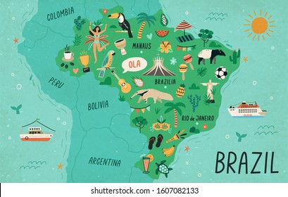
country
map
Design Library
New Merch Designs
T-Shirts
Vectors
Trending Merch Designs
PNGs & SVGs
Mockups
T-Shirt PSD Templates
Explore Designs
KDP Designs
Posters
Mugs
Phone Cases
Tote Bags
Pillows
Design Tools
Merch Designer
New!
Mockup Generator
AI Design Generator
Image Vectorizer
Quote Generator
T-Shirt Maker (Old)
Resources
Merch Digest
Blog
Help Center
Learn About Merch
Feedback
Corporate Solutions
Enterprise
API Access
Design Studio
Bulk Design Production
PLANS
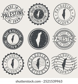
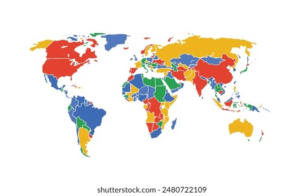
PNGs For Merch
country
map
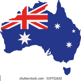
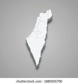
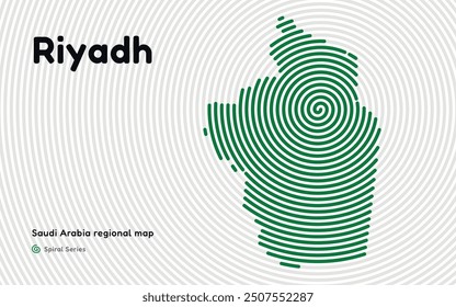
876 country map PNG and SVG design graphic
Download country map PNG & SVG Designs with transparent background for T-Shirts, book covers, phone cases and other merch.
Related:
country maps
Sort by
Most relevant
Sponsored results by
Get 15% off with code: VEXELS15
Show more
Premium
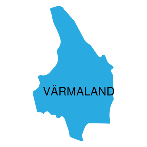
Varmland county map PNG Design
Choose a folder
All favorites
Create new
Save
Varmland county map PNG Design
Premium
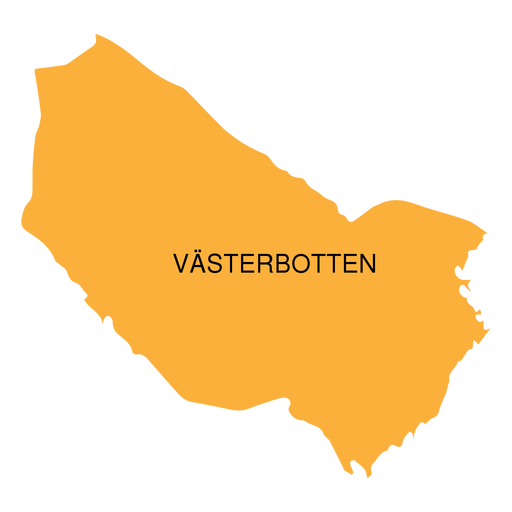
Vasterbotten county map PNG Design
Choose a folder
All favorites
Create new
Save
Vasterbotten county map PNG Design
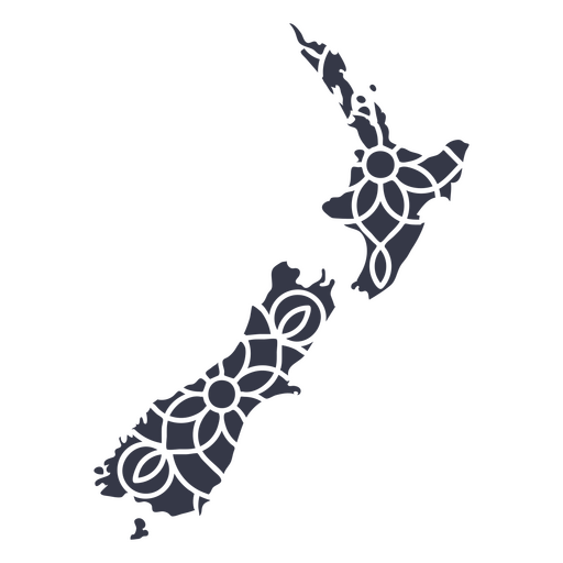
Mandala New Zealand Map PNG Design
Choose a folder
All favorites
Create new
Save
Mandala New Zealand Map PNG Design
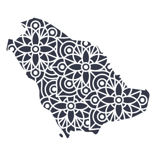
Mandala Saudi Arabia Map PNG Design
Choose a folder
All favorites
Create new
Save
Mandala Saudi Arabia Map PNG Design
Kentucky state mandala map PNG Design
Choose a folder
All favorites
Create new
Save
Kentucky state mandala map PNG Design
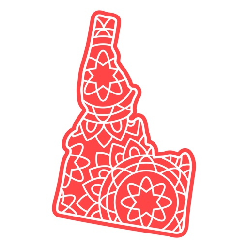
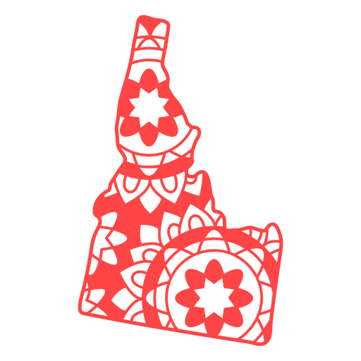
Idaho state mandala map PNG Design
Choose a folder
All favorites
Create new
Save
Idaho state mandala map PNG Design
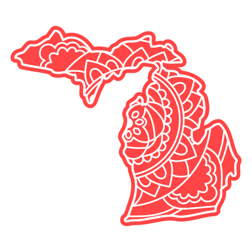
Michigan state mandala map PNG Design
Choose a folder
All favorites
Create new
Save
Michigan state mandala map PNG Design
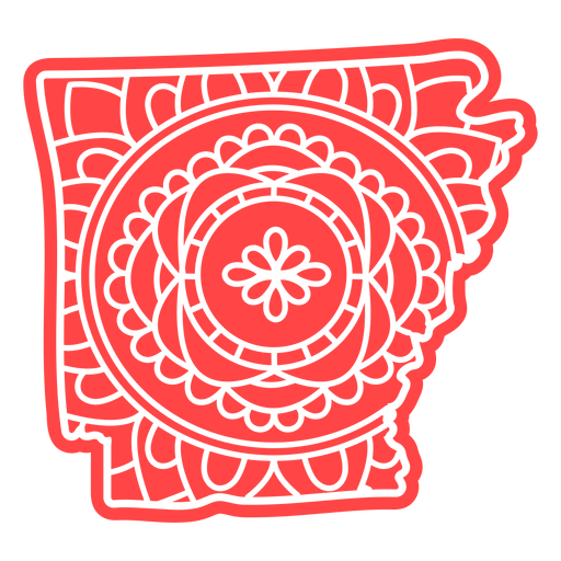
Arkansas state mandala map PNG Design
Choose a folder
All favorites
Create new
Save
Arkansas state mandala map PNG Design
Idaho state mandala map stroke PNG Design
Choose a folder
All favorites
Create new
Save
Idaho state mandala map stroke PNG Design
Illinois state mandala map stroke PNG Design
Choose a folder
All favorites
Create new
Save
Illinois state mandala map stroke PNG Design
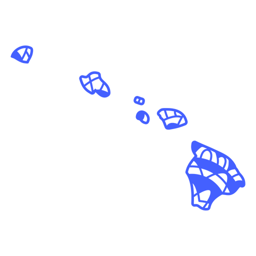
Hawaii state mandala map stroke PNG Design
Choose a folder
All favorites
Create new
Save
Hawaii state mandala map stroke PNG Design
Premium
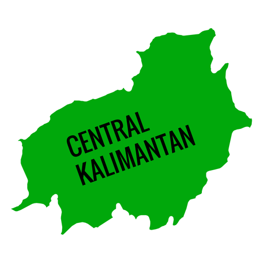
Central kalimantan province map PNG Design
Choose a folder
All favorites
Create new
Save
Central kalimantan province map PNG Design
Premium
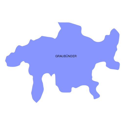
Graubunder grisons canton map PNG Design
Choose a folder
All favorites
Create new
Save
Graubunder grisons canton map PNG Design
Premium
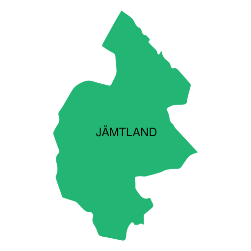
Jamtland county map PNG Design
Choose a folder
All favorites
Create new
Save
Jamtland county map PNG Design
Premium
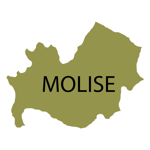
Molise region map PNG Design
Choose a folder
All favorites
Create new
Save
Molise region map PNG Design
Premium
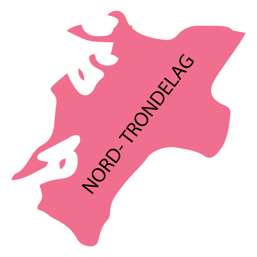
Nord trondelag county map PNG Design
Choose a folder
All favorites
Create new
Save
Nord trondelag county map PNG Design
Premium
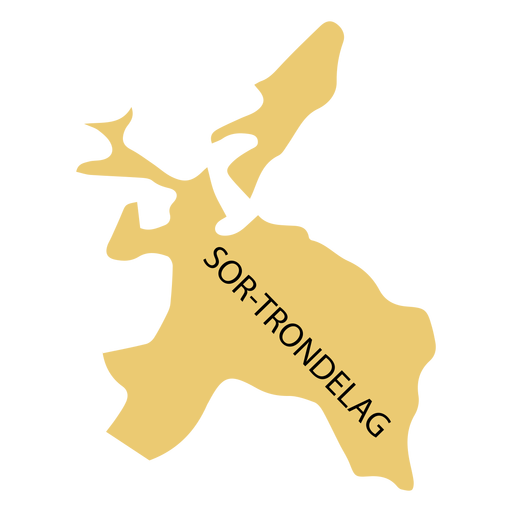
Sor trondelag county map PNG Design
Choose a folder
All favorites
Create new
Save
Sor trondelag county map PNG Design
Premium
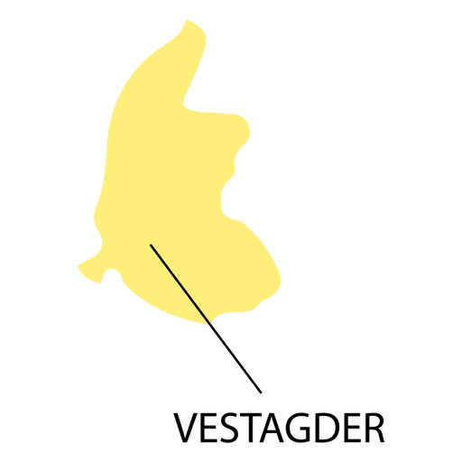
Vest agder county map PNG Design
Choose a folder
All favorites
Create new
Save
Vest agder county map PNG Design
Premium
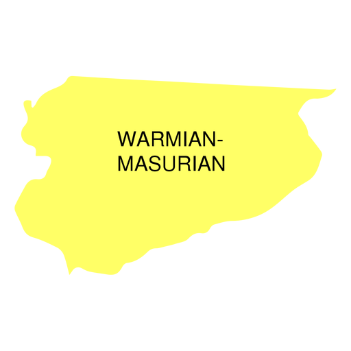
Warmian masurian voivodeship map PNG Design
Choose a folder
All favorites
Create new
Save
Warmian masurian voivodeship map PNG Design
Premium
Zug canton map PNG Design
Choose a folder
All favorites
Create new
Save
Zug canton map PNG Design
Premium
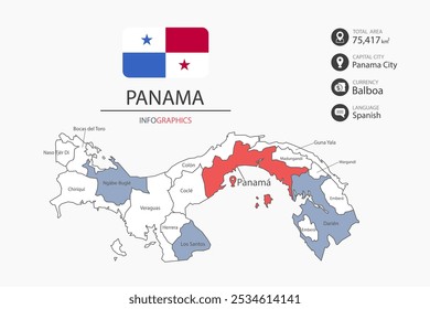
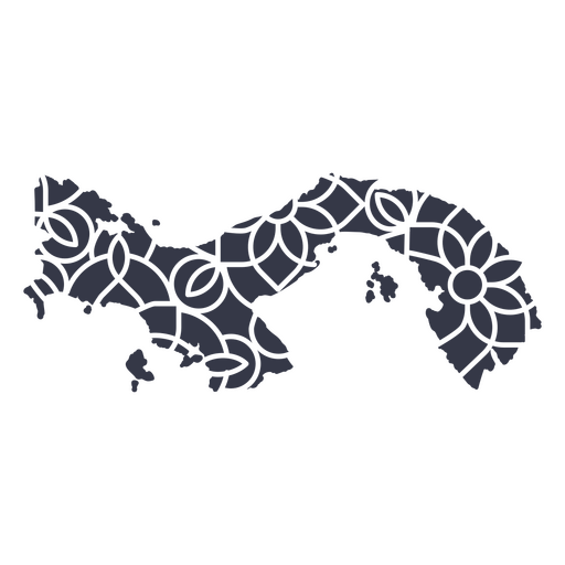
Panama's mandala map PNG Design
Choose a folder
All favorites
Create new
Save
Panama's mandala map PNG Design
Premium
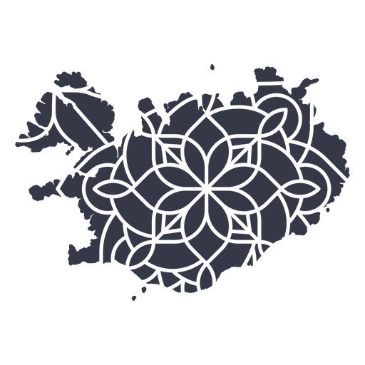
Iceland's mandala map PNG Design
Choose a folder
All favorites
Create new
Save
Iceland's mandala map PNG Design
Premium
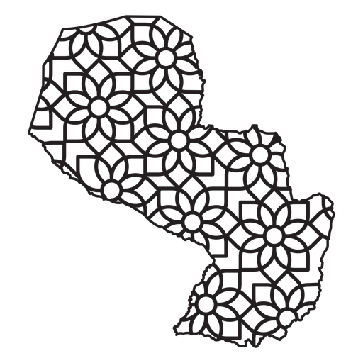
Mandala-style map shaped like Paraguay PNG Design
Choose a folder
All favorites
Create new
Save
Mandala-style map shaped like Paraguay PNG Design
A silhouette of the map of Kuwait PNG Design
Choose a folder
All favorites
Create new
Save
A silhouette of the map of Kuwait PNG Design
A silhouette of the map of Singapore PNG Design
Choose a folder
All favorites
Create new
Save
A silhouette of the map of Singapore PNG Design
A silhouette of the map of Malaysia PNG Design
Choose a folder
All favorites
Create new
Save
A silhouette of the map of Malaysia PNG Design
A silhouette of the map of Jordan PNG Design
Choose a folder
All favorites
Create new
Save
A silhouette of the map of Jordan PNG Design
A silhouette of the map of Bahrain PNG Design
Choose a folder
All favorites
Create new
Save
A silhouette of the map of Bahrain PNG Design
A silhouette of the map of Paraguay PNG Design
Choose a folder
All favorites
Create new
Save
A silhouette of the map of Paraguay PNG Design
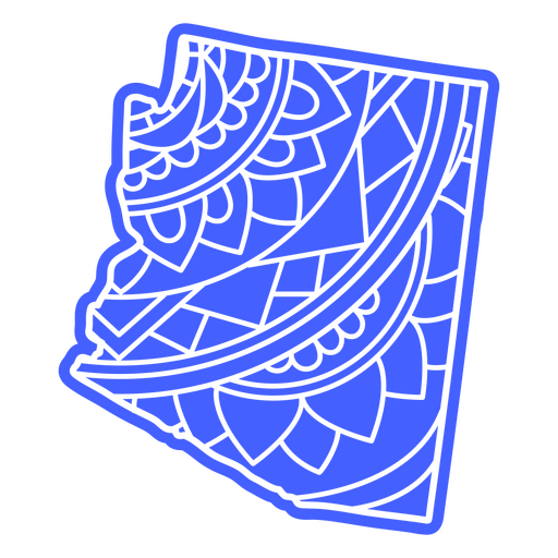
Arizona state mandala map PNG Design
Choose a folder
All favorites
Create new
Save
Arizona state mandala map PNG Design
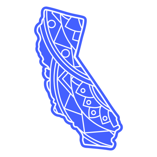
California state mandala map PNG Design
Choose a folder
All favorites
Create new
Save
California state mandala map PNG Design
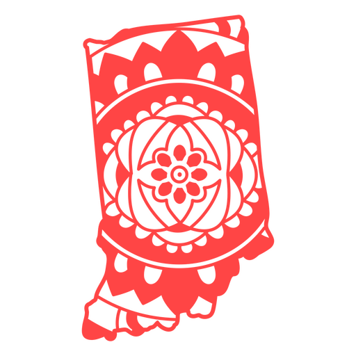
Indiana state mandala map stroke PNG Design
Choose a folder
All favorites
Create new
Save
Indiana state mandala map stroke PNG Design
Premium
Appenzell ausserrhoden canton map PNG Design
Choose a folder
All favorites
Create new
Save
Appenzell ausserrhoden canton map PNG Design
Premium
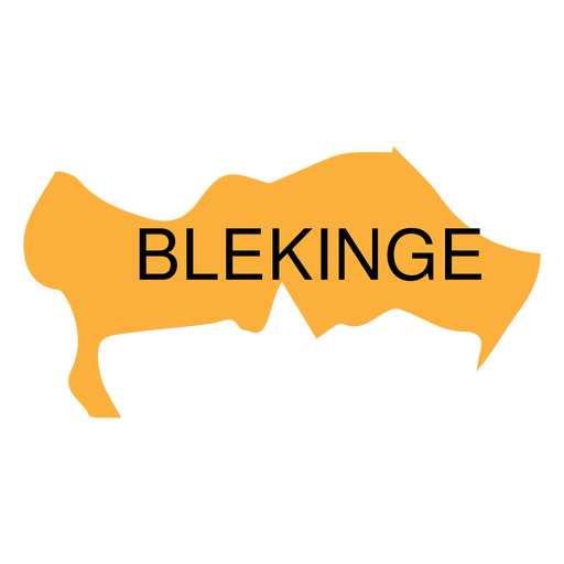
Blekinge county map PNG Design
Choose a folder
All favorites
Create new
Save
Blekinge county map PNG Design
Premium
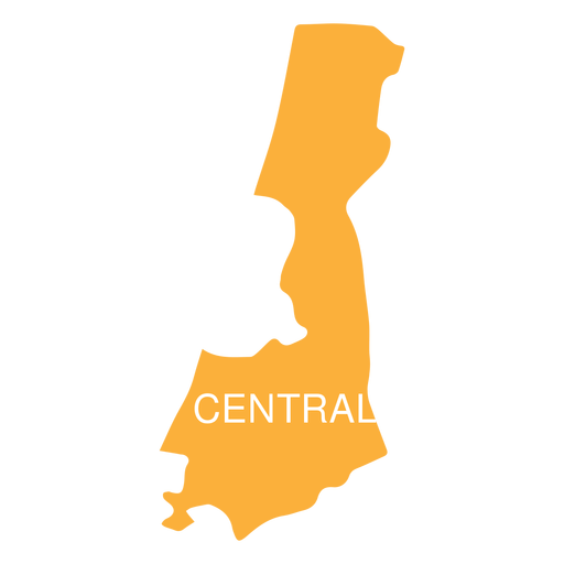
Central israel district map PNG Design
Choose a folder
All favorites
Create new
Save
Central israel district map PNG Design
Premium
Gorontalo province map PNG Design
Choose a folder
All favorites
Create new
Save
Gorontalo province map PNG Design
Premium
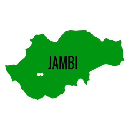
Jambi province map PNG Design
Choose a folder
All favorites
Create new
Save
Jambi province map PNG Design
Premium
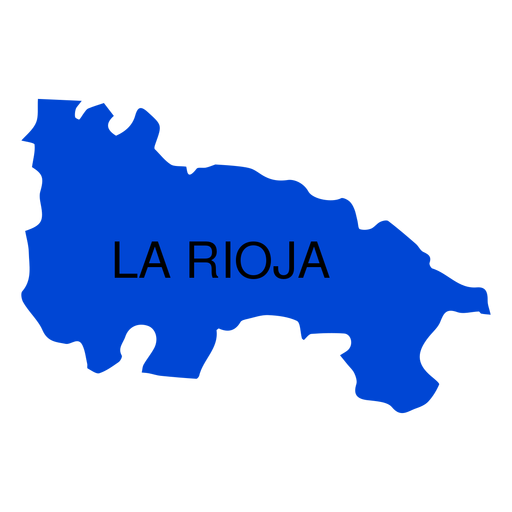
La rioja autonomous community map PNG Design
Choose a folder
All favorites
Create new
Save
La rioja autonomous community map PNG Design
Premium
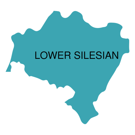
Lower silesian voivodeship map PNG Design
Choose a folder
All favorites
Create new
Save
Lower silesian voivodeship map PNG Design
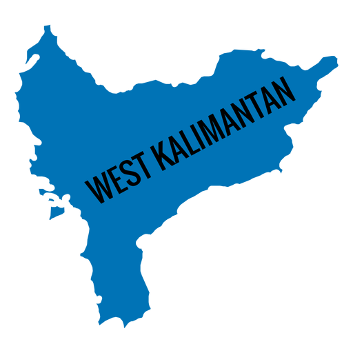
Premium
West kalimantan province map PNG Design
Choose a folder
All favorites
Create new
Save
West kalimantan province map PNG Design
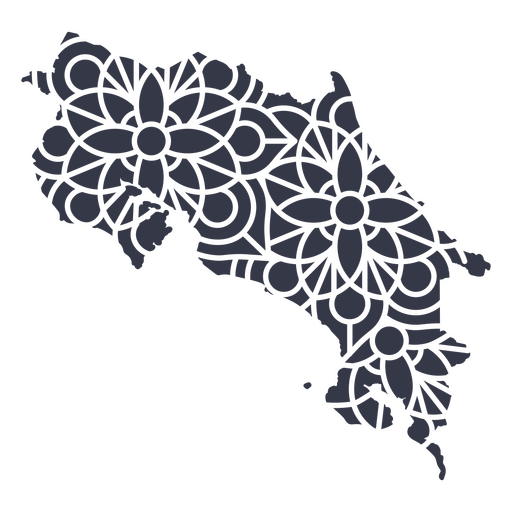
Premium
Costa Rica's mandala map PNG Design
Choose a folder
All favorites
Create new
Save
Costa Rica's mandala map PNG Design
Premium
Puerto Rico's mandala map PNG Design
Choose a folder
All favorites
Create new
Save
Puerto Rico's mandala map PNG Design
Premium
Mandala-style map shaped like Puerto Rico PNG Design
Choose a folder
All favorites
Create new
Save
Mandala-style map shaped like Puerto Rico PNG Design
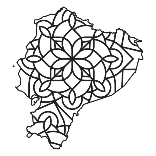
Premium
Mandala-style map shaped like Ecuador PNG Design
Choose a folder
All favorites
Create new
Save
Mandala-style map shaped like Ecuador PNG Design
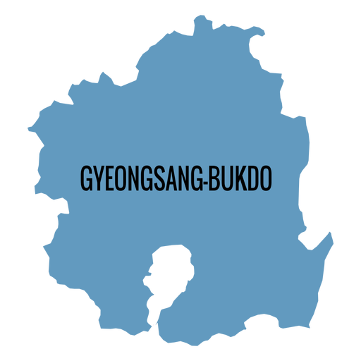
Premium
Gyeongsangbuk do province map PNG Design
Choose a folder
All favorites
Create new
Save
Gyeongsangbuk do province map PNG Design
Premium
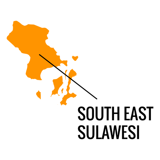
South east sulawesi province map PNG Design
Choose a folder
All favorites
Create new
Save
South east sulawesi province map PNG Design
Premium
Busan metropolitan city map PNG Design
Choose a folder
All favorites
Create new
Save
Busan metropolitan city map PNG Design
Premium
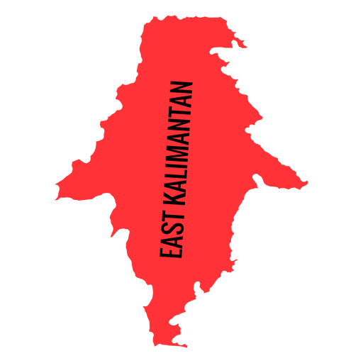
East kalimantan province map PNG Design
Choose a folder
All favorites
Create new
Save
East kalimantan province map PNG Design
Premium
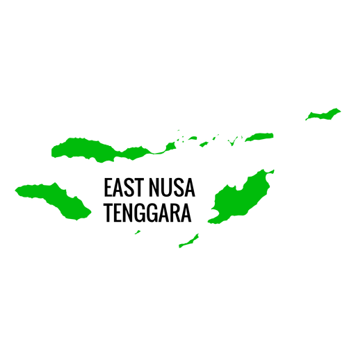
East nusa tenggara province map PNG Design
Choose a folder
All favorites
Create new
Save
East nusa tenggara province map PNG Design
Premium
Gwangju metropolitan city map PNG Design
Choose a folder
All favorites
Create new
Save
Gwangju metropolitan city map PNG Design
Boost Your Business
With The Leading Graphic Platform For Merch.
SEE PLANS
Next
of 18
prev page
next page