Design Library
New Merch Designs
T-Shirts
Vectors
Trending Merch Designs
PNGs & SVGs
Mockups
T-Shirt PSD Templates
Explore Designs
KDP Designs
Posters
Mugs
Phone Cases
Tote Bags
Pillows
Design Tools
Merch Designer
New!
Mockup Generator
AI Design Generator
Image Vectorizer
Quote Generator
T-Shirt Maker (Old)
Resources
Merch Digest
Blog
Help Center
Learn About Merch
Feedback
Corporate Solutions
Enterprise
API Access
Design Studio
Bulk Design Production
Pricing
Loading...
Sign Up
Login
PNGs For Merch
country
map
Design Library
New Merch Designs
T-Shirts
Vectors
Trending Merch Designs
PNGs & SVGs
Mockups
T-Shirt PSD Templates
Explore Designs
KDP Designs
Posters
Mugs
Phone Cases
Tote Bags
Pillows
Design Tools
Merch Designer
New!
Mockup Generator
AI Design Generator
Image Vectorizer
Quote Generator
T-Shirt Maker (Old)
Resources
Merch Digest
Blog
Help Center
Learn About Merch
Feedback
Corporate Solutions
Enterprise
API Access
Design Studio
Bulk Design Production
PLANS
PNGs For Merch
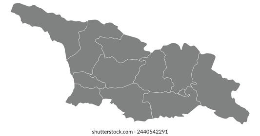
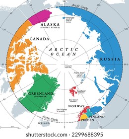
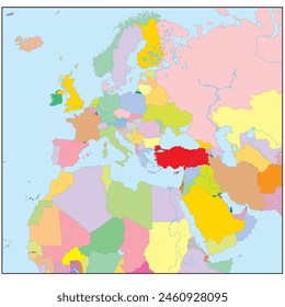
country
map
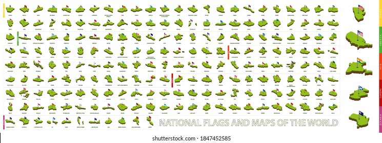
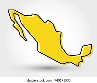
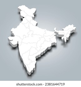
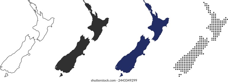
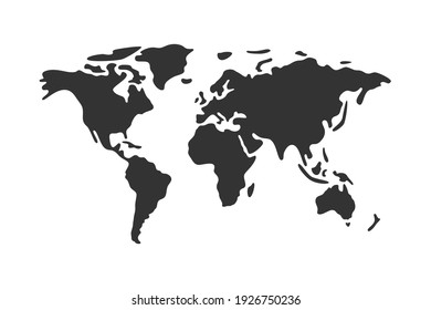
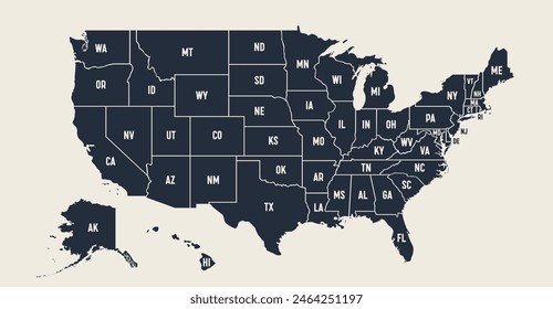
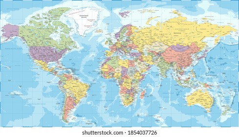
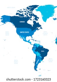
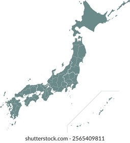
876 country map PNG and SVG design graphic
Download country map PNG & SVG Designs with transparent background for T-Shirts, book covers, phone cases and other merch.
Related:
country maps
Sort by
Most relevant
Sponsored results by
Get 15% off with code: VEXELS15
Show more
Premium
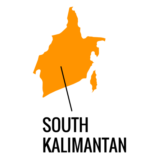
South kalimantan province map PNG Design
Choose a folder
All favorites
Create new
Save
South kalimantan province map PNG Design
Premium
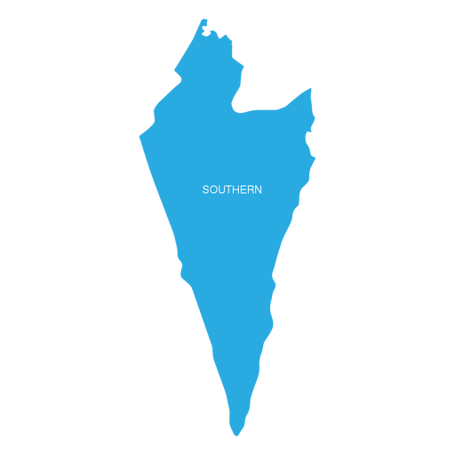
Southern israel district map PNG Design
Choose a folder
All favorites
Create new
Save
Southern israel district map PNG Design
Premium
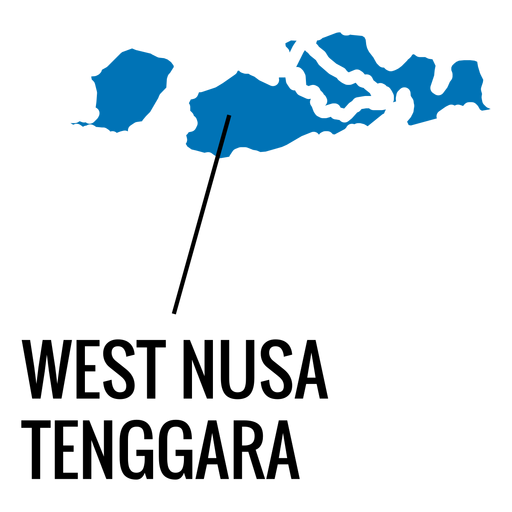
West nusa tenggara province map PNG Design
Choose a folder
All favorites
Create new
Save
West nusa tenggara province map PNG Design
Premium
Zeeland province map PNG Design
Choose a folder
All favorites
Create new
Save
Zeeland province map PNG Design
Premium
Mandala-style map shaped like Chile PNG Design
Choose a folder
All favorites
Create new
Save
Mandala-style map shaped like Chile PNG Design
A silhouette of the map of Portugal PNG Design
Choose a folder
All favorites
Create new
Save
A silhouette of the map of Portugal PNG Design
Kentucky map polygonal PNG Design
Choose a folder
All favorites
Create new
Save
Kentucky map polygonal PNG Design
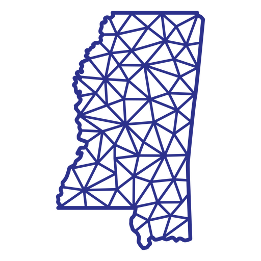
Mississippi map polygonal PNG Design
Choose a folder
All favorites
Create new
Save
Mississippi map polygonal PNG Design
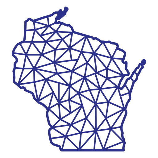
Wisconsin map polygonal PNG Design
Choose a folder
All favorites
Create new
Save
Wisconsin map polygonal PNG Design
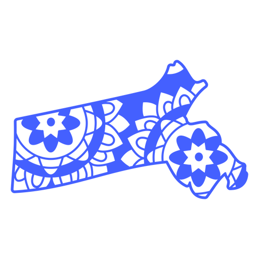
Massachusetts map mandala PNG Design
Choose a folder
All favorites
Create new
Save
Massachusetts map mandala PNG Design
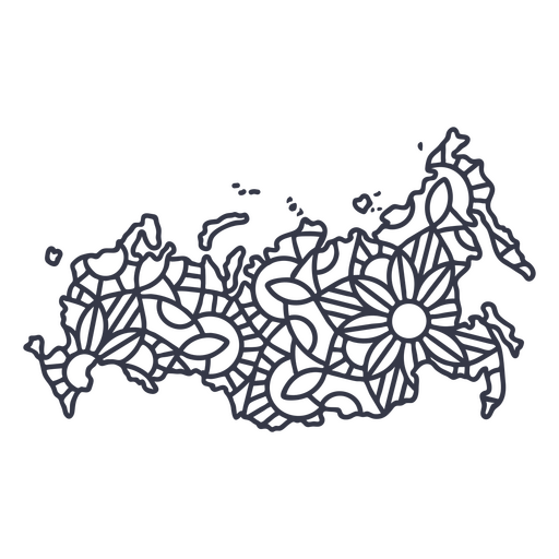
Russia map silhouette mandala stroke PNG Design
Choose a folder
All favorites
Create new
Save
Russia map silhouette mandala stroke PNG Design
Premium
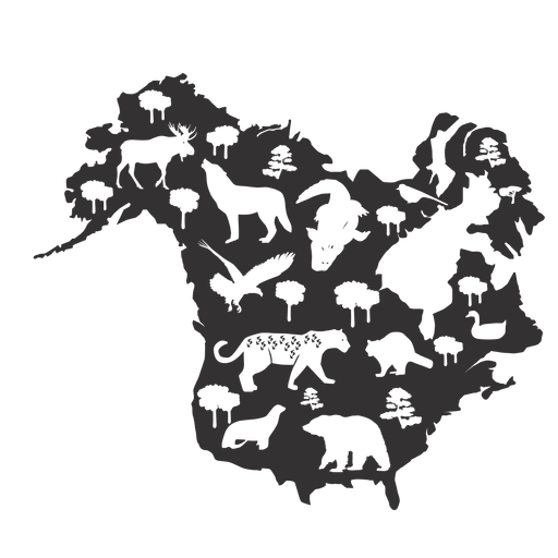
North america silhouette map PNG Design
Choose a folder
All favorites
Create new
Save
North america silhouette map PNG Design
Premium
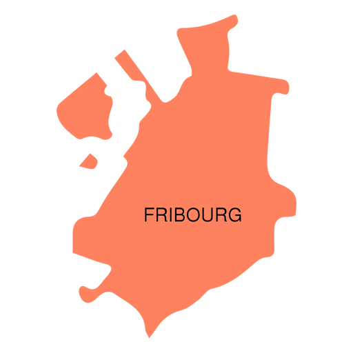
Fribourg canton map PNG Design
Choose a folder
All favorites
Create new
Save
Fribourg canton map PNG Design
Premium
Geneva canton map PNG Design
Choose a folder
All favorites
Create new
Save
Geneva canton map PNG Design
Premium
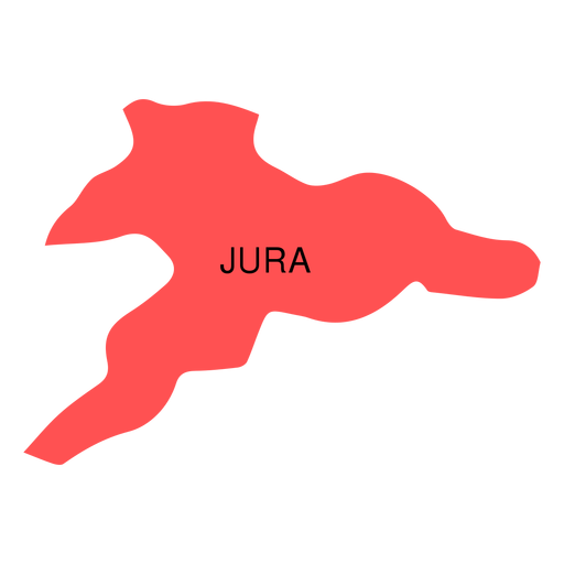
Jura canton map PNG Design
Choose a folder
All favorites
Create new
Save
Jura canton map PNG Design
Premium
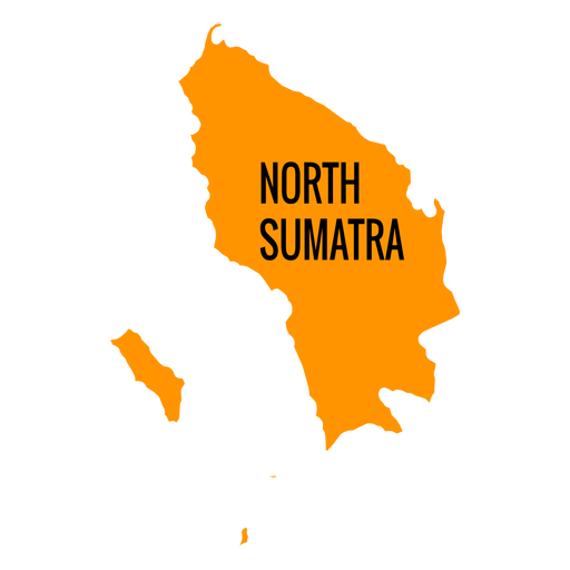
North sumatra province map PNG Design
Choose a folder
All favorites
Create new
Save
North sumatra province map PNG Design
Premium
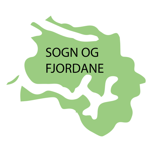
Sogn og fjordane county map PNG Design
Choose a folder
All favorites
Create new
Save
Sogn og fjordane county map PNG Design
Premium
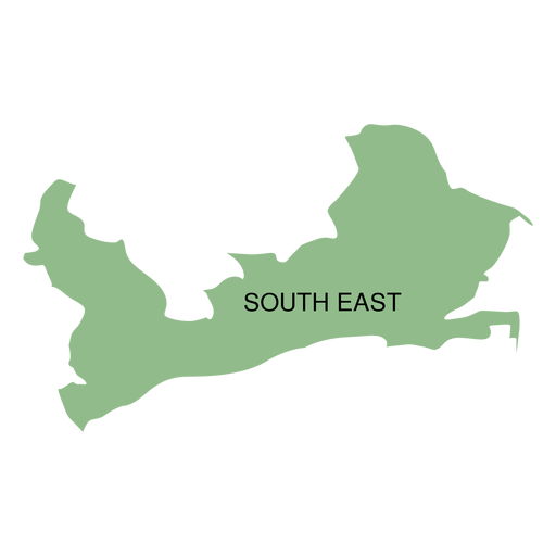
South east district map PNG Design
Choose a folder
All favorites
Create new
Save
South east district map PNG Design
Premium
Telemark county map PNG Design
Choose a folder
All favorites
Create new
Save
Telemark county map PNG Design
Premium
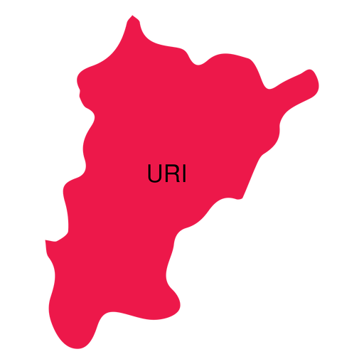
Uri canton map PNG Design
Choose a folder
All favorites
Create new
Save
Uri canton map PNG Design
Premium
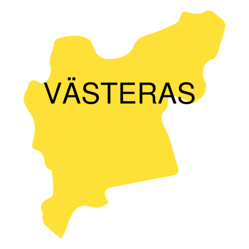
Vastmanland county map PNG Design
Choose a folder
All favorites
Create new
Save
Vastmanland county map PNG Design
A silhouette of the map of Ireland PNG Design
Choose a folder
All favorites
Create new
Save
A silhouette of the map of Ireland PNG Design
A silhouette of the map of Panama PNG Design
Choose a folder
All favorites
Create new
Save
A silhouette of the map of Panama PNG Design
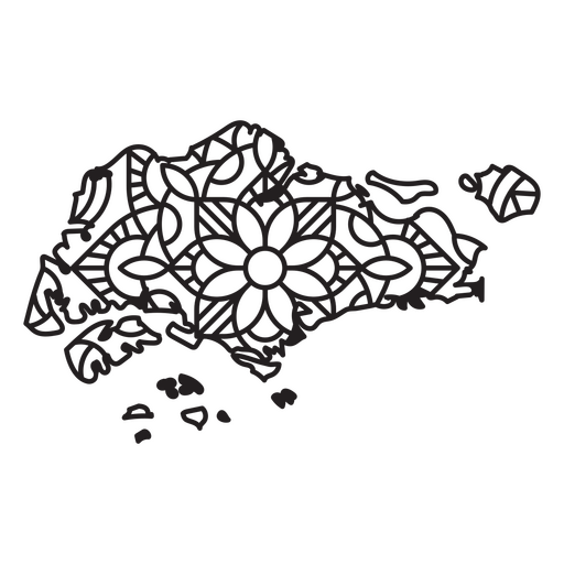
Singapore Mandala Map PNG Design
Choose a folder
All favorites
Create new
Save
Singapore Mandala Map PNG Design
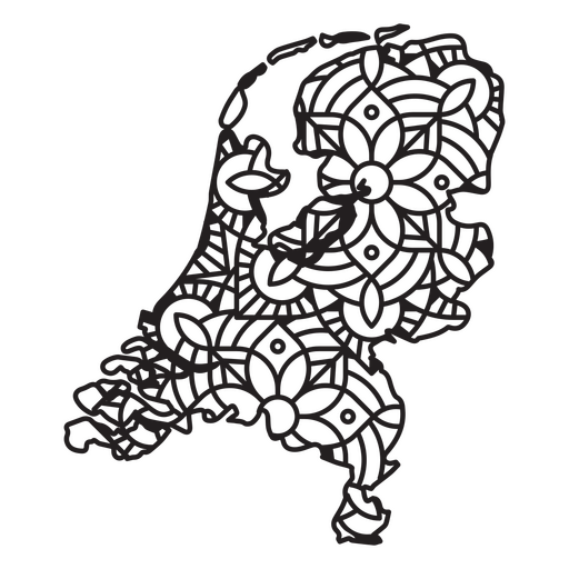
Netherlands Mandala Map PNG Design
Choose a folder
All favorites
Create new
Save
Netherlands Mandala Map PNG Design
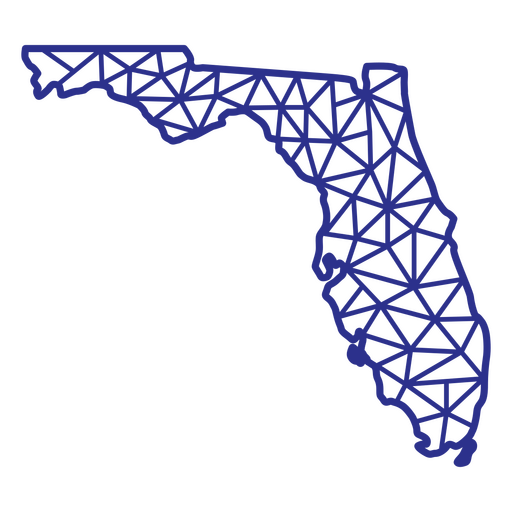
Florida map polygonal PNG Design
Choose a folder
All favorites
Create new
Save
Florida map polygonal PNG Design
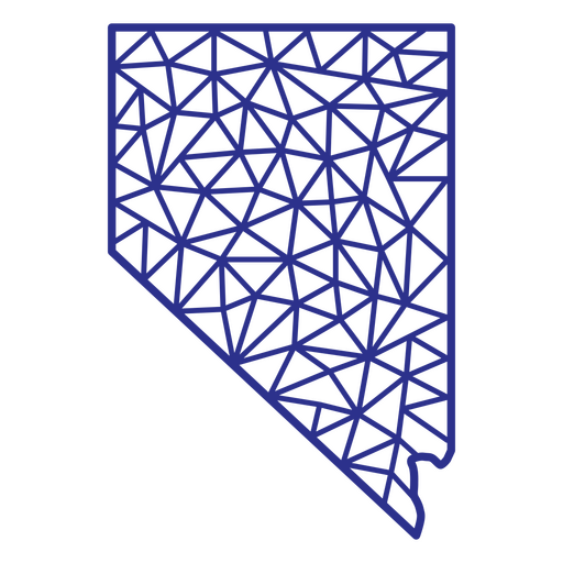
Nevada map polygonal PNG Design
Choose a folder
All favorites
Create new
Save
Nevada map polygonal PNG Design
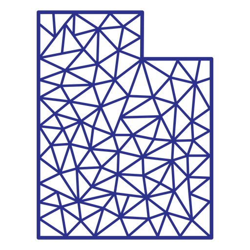
Utah map polygonal PNG Design
Choose a folder
All favorites
Create new
Save
Utah map polygonal PNG Design
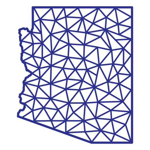
Arizona map polygonal PNG Design
Choose a folder
All favorites
Create new
Save
Arizona map polygonal PNG Design
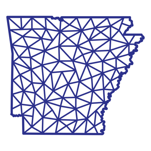
Arkansas map polygonal PNG Design
Choose a folder
All favorites
Create new
Save
Arkansas map polygonal PNG Design
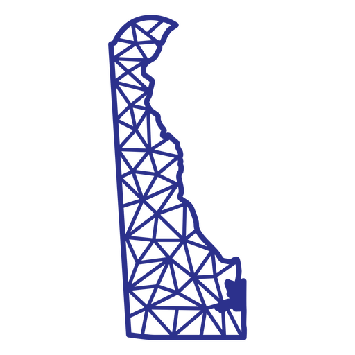
Delaware map polygonal PNG Design
Choose a folder
All favorites
Create new
Save
Delaware map polygonal PNG Design
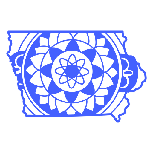
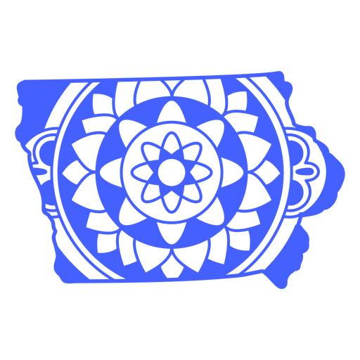
Iowa map mandala PNG Design
Choose a folder
All favorites
Create new
Save
Iowa map mandala PNG Design
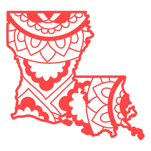
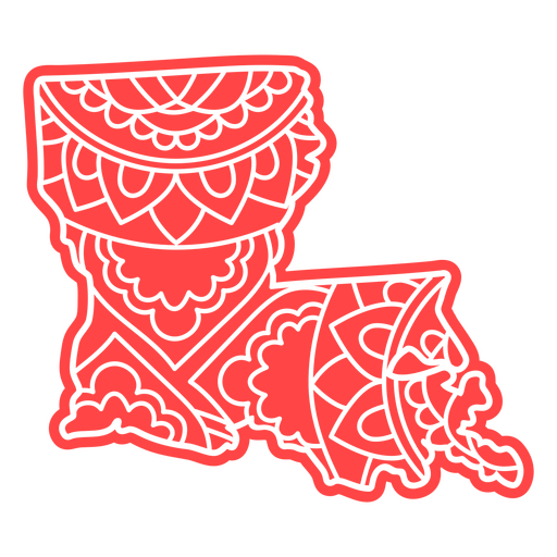
Louisiana map mandala PNG Design
Choose a folder
All favorites
Create new
Save
Louisiana map mandala PNG Design
Massachusetts state mandala map stroke PNG Design
Choose a folder
All favorites
Create new
Save
Massachusetts state mandala map stroke PNG Design
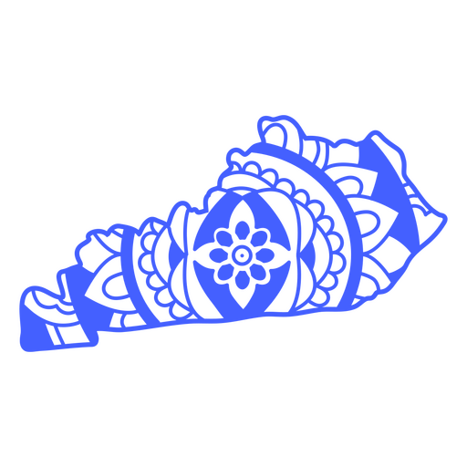
Kentucky state mandala map stroke PNG Design
Choose a folder
All favorites
Create new
Save
Kentucky state mandala map stroke PNG Design
Iowa state mandala map stroke PNG Design
Choose a folder
All favorites
Create new
Save
Iowa state mandala map stroke PNG Design
Michigan state mandala map stroke PNG Design
Choose a folder
All favorites
Create new
Save
Michigan state mandala map stroke PNG Design
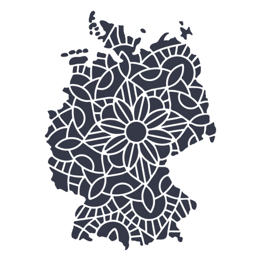
Germany map silhouette mandala cut out PNG Design
Choose a folder
All favorites
Create new
Save
Germany map silhouette mandala cut out PNG Design
Premium
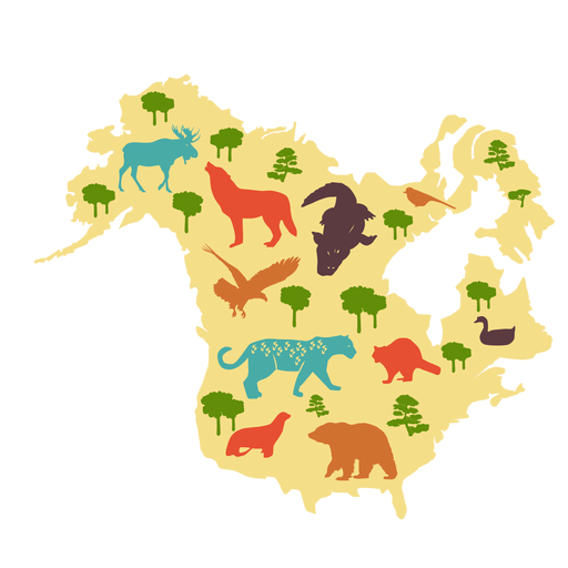
North america illustrated map PNG Design
Choose a folder
All favorites
Create new
Save
North america illustrated map PNG Design
Premium
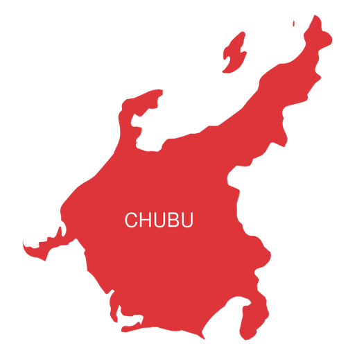
Chubu region map PNG Design
Choose a folder
All favorites
Create new
Save
Chubu region map PNG Design
Premium
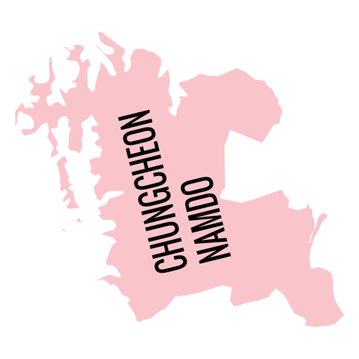
Chungcheongnam do province map PNG Design
Choose a folder
All favorites
Create new
Save
Chungcheongnam do province map PNG Design
Premium
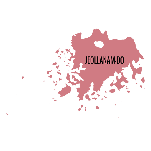
Jeollanam do province map PNG Design
Choose a folder
All favorites
Create new
Save
Jeollanam do province map PNG Design
Premium
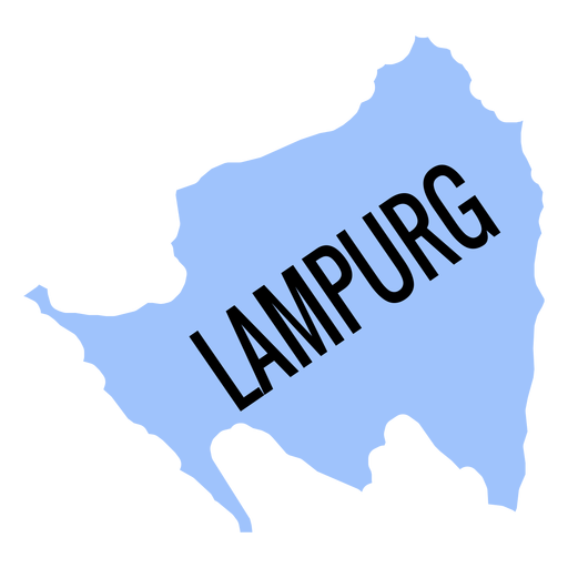
Lampurg province map PNG Design
Choose a folder
All favorites
Create new
Save
Lampurg province map PNG Design
Premium
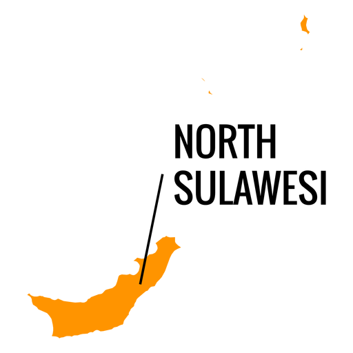
North sulawesi province map PNG Design
Choose a folder
All favorites
Create new
Save
North sulawesi province map PNG Design
Premium
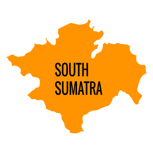
South sumatra province map PNG Design
Choose a folder
All favorites
Create new
Save
South sumatra province map PNG Design
Premium
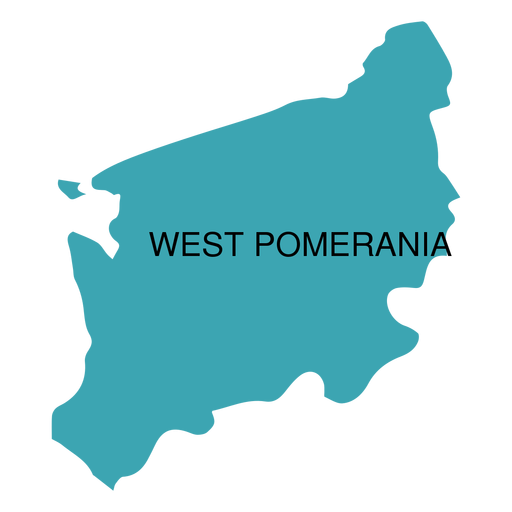
West pomerania voivodeship map PNG Design
Choose a folder
All favorites
Create new
Save
West pomerania voivodeship map PNG Design
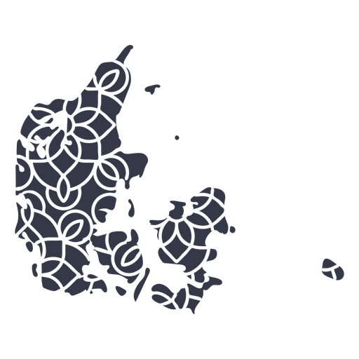
Mandala Denmark Map PNG Design
Choose a folder
All favorites
Create new
Save
Mandala Denmark Map PNG Design
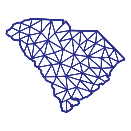
South Carolina map polygonal PNG Design
Choose a folder
All favorites
Create new
Save
South Carolina map polygonal PNG Design
Louisiana state mandala map PNG Design
Choose a folder
All favorites
Create new
Save
Louisiana state mandala map PNG Design
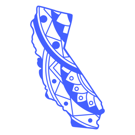
California state mandala map stroke PNG Design
Choose a folder
All favorites
Create new
Save
California state mandala map stroke PNG Design
Boost Your Business
With The Leading Graphic Platform For Merch.
SEE PLANS
Next
of 18
prev page
next page