Design Library
New Merch Designs
T-Shirts
Vectors
Trending Merch Designs
PNGs & SVGs
Mockups
T-Shirt PSD Templates
Explore Designs
KDP Designs
Posters
Mugs
Phone Cases
Tote Bags
Pillows
Design Tools
Merch Designer
New!
Mockup Generator
AI Design Generator
Image Vectorizer
Quote Generator
T-Shirt Maker (Old)
Resources
Merch Digest
Blog
Help Center
Learn About Merch
Feedback
Corporate Solutions
Enterprise
API Access
Design Studio
Bulk Design Production
Pricing
Loading...
Sign Up
Login
All
territory
Design Library
New Merch Designs
T-Shirts
Vectors
Trending Merch Designs
PNGs & SVGs
Mockups
T-Shirt PSD Templates
Explore Designs
KDP Designs
Posters
Mugs
Phone Cases
Tote Bags
Pillows
Design Tools
Merch Designer
New!
Mockup Generator
AI Design Generator
Image Vectorizer
Quote Generator
T-Shirt Maker (Old)
Resources
Merch Digest
Blog
Help Center
Learn About Merch
Feedback
Corporate Solutions
Enterprise
API Access
Design Studio
Bulk Design Production
PLANS
All
territory
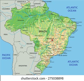
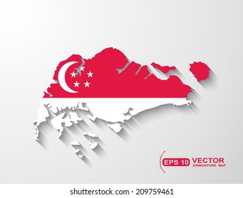
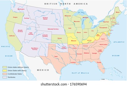
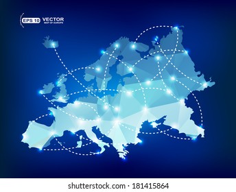
391 territory designs graphics for t-shirt and print on demand merch
Download territory t-shirt designs and other merch graphics like book covers, phone cases, tote bags and more.
Related:
french territory
,
turkish territory
,
polish territory
Sort by
Most relevant
Sponsored results by
Get 15% off with code: VEXELS15
Show more
Premium
Silhouette of france map design PNG Design
Choose a folder
All favorites
Create new
Save
Silhouette of france map design PNG Design
Premium
Minimalist outline map of hong kong PNG Design
Choose a folder
All favorites
Create new
Save
Minimalist outline map of hong kong PNG Design
Premium
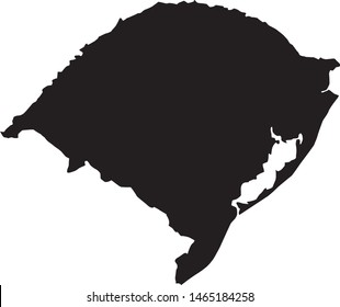
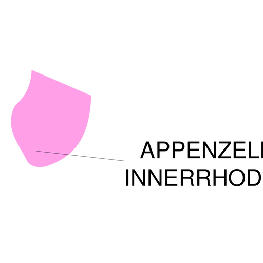
Appenzell innerrhoden canton map PNG Design
Choose a folder
All favorites
Create new
Save
Appenzell innerrhoden canton map PNG Design
Premium
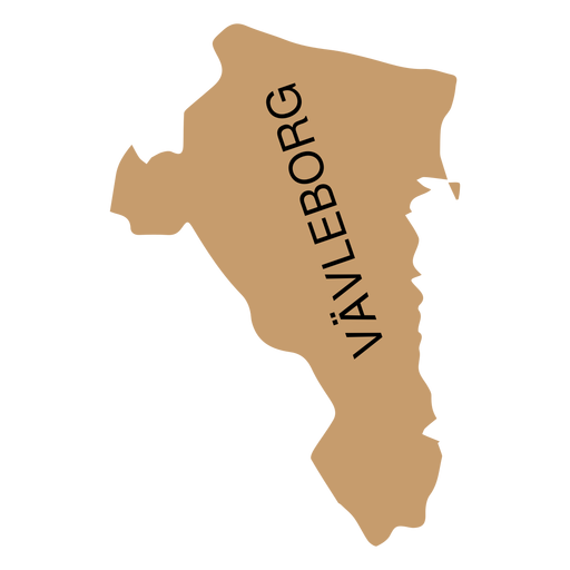
Gavleborg county map PNG Design
Choose a folder
All favorites
Create new
Save
Gavleborg county map PNG Design
Premium
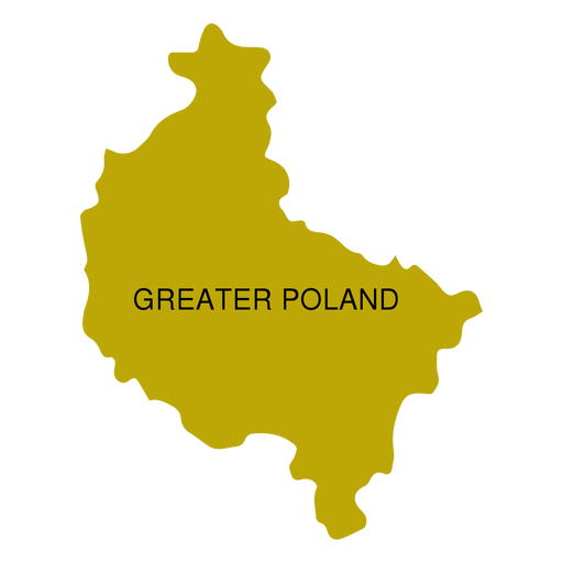
Greater poland voivodeship map PNG Design
Choose a folder
All favorites
Create new
Save
Greater poland voivodeship map PNG Design
Premium
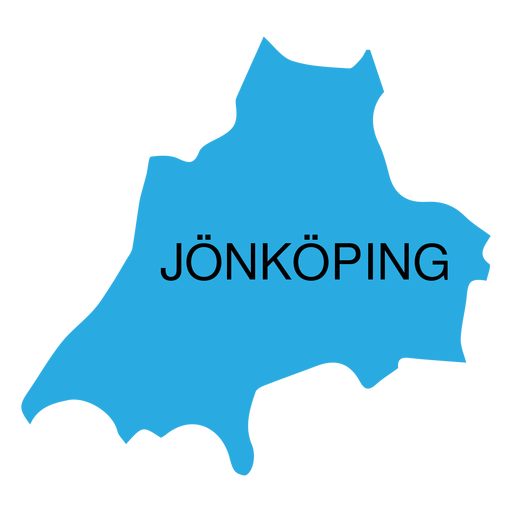
Jonkoping county map PNG Design
Choose a folder
All favorites
Create new
Save
Jonkoping county map PNG Design
Premium
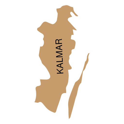
Kalmar county map PNG Design
Choose a folder
All favorites
Create new
Save
Kalmar county map PNG Design
Premium
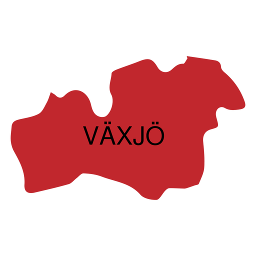
Kronoberg county map PNG Design
Choose a folder
All favorites
Create new
Save
Kronoberg county map PNG Design
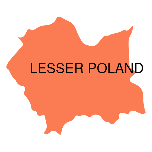
Premium
Lesser poland voivodeship map PNG Design
Choose a folder
All favorites
Create new
Save
Lesser poland voivodeship map PNG Design
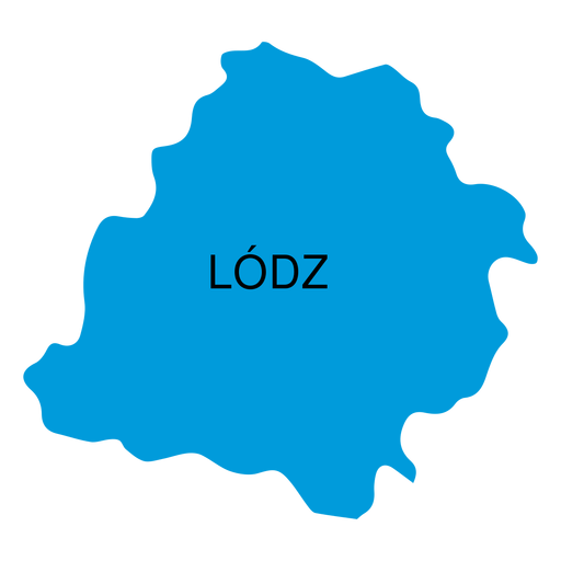
Premium
Lodz voivodeship map PNG Design
Choose a folder
All favorites
Create new
Save
Lodz voivodeship map PNG Design
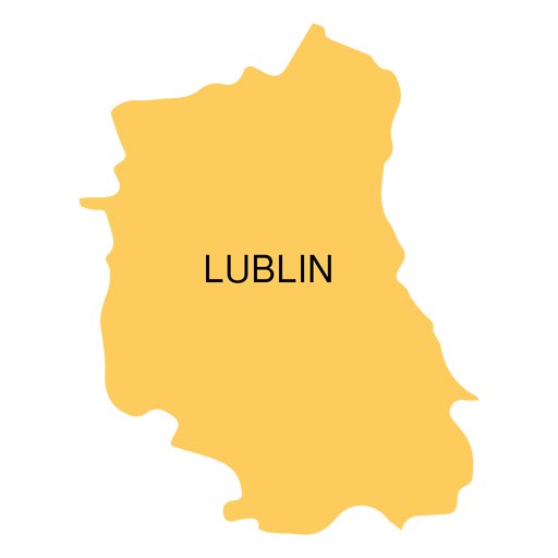
Premium
Lublin voivodeship map PNG Design
Choose a folder
All favorites
Create new
Save
Lublin voivodeship map PNG Design
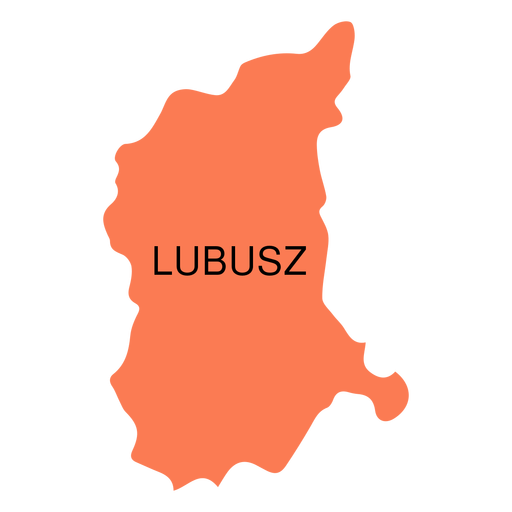
Premium
Lubusz voivodeship map PNG Design
Choose a folder
All favorites
Create new
Save
Lubusz voivodeship map PNG Design
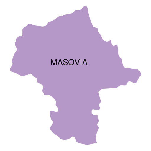
Premium
Masovia voivodeship map PNG Design
Choose a folder
All favorites
Create new
Save
Masovia voivodeship map PNG Design
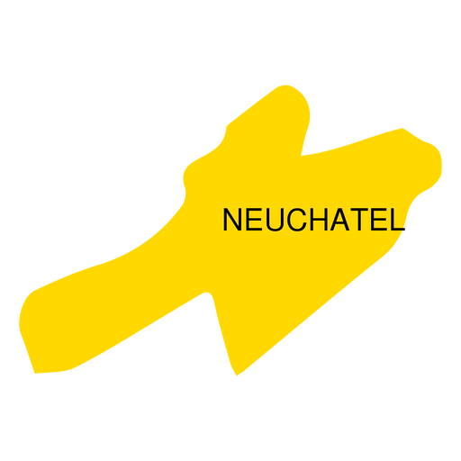
Premium
Neuchatel canton map PNG Design
Choose a folder
All favorites
Create new
Save
Neuchatel canton map PNG Design
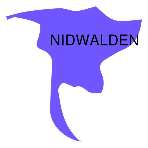
Premium
Nidwalden canton map PNG Design
Choose a folder
All favorites
Create new
Save
Nidwalden canton map PNG Design
Premium
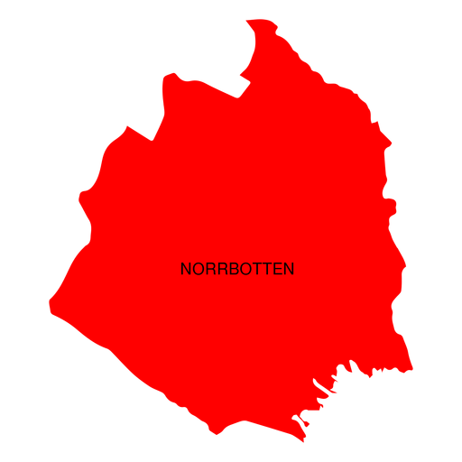
Norrbotten county map PNG Design
Choose a folder
All favorites
Create new
Save
Norrbotten county map PNG Design
Premium
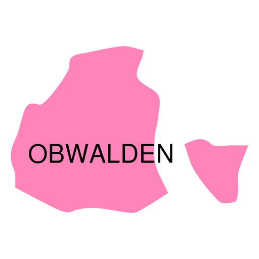
Obwalden canton map PNG Design
Choose a folder
All favorites
Create new
Save
Obwalden canton map PNG Design
Premium
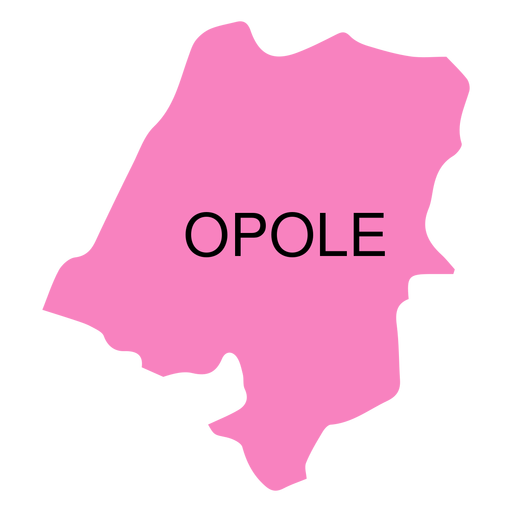
Opole voivodeship map PNG Design
Choose a folder
All favorites
Create new
Save
Opole voivodeship map PNG Design
Premium
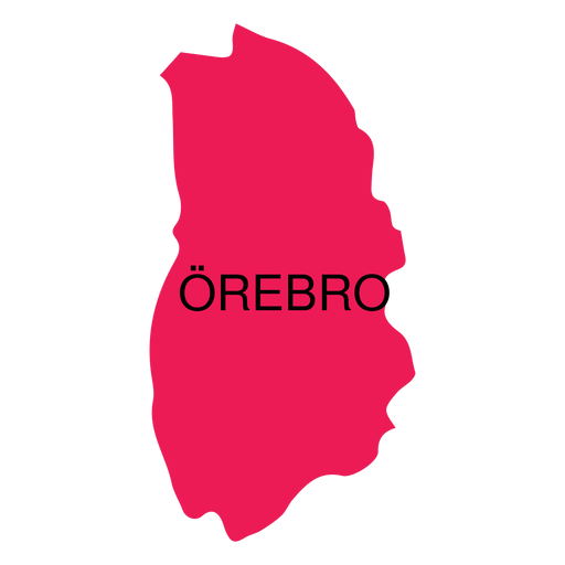
Orebro county map PNG Design
Choose a folder
All favorites
Create new
Save
Orebro county map PNG Design
Premium
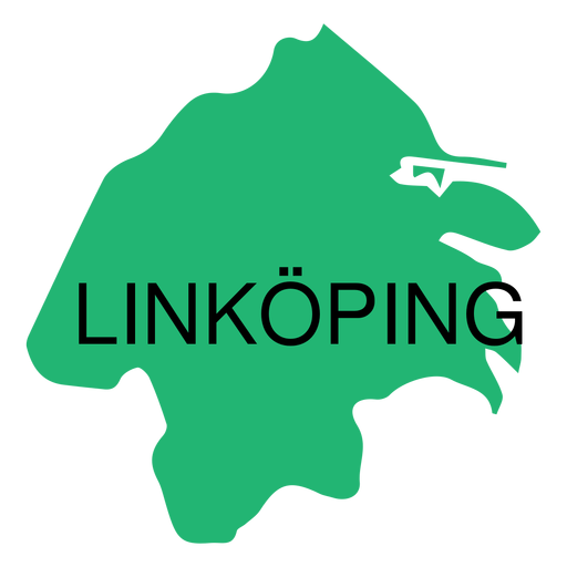
Ostergotland county map PNG Design
Choose a folder
All favorites
Create new
Save
Ostergotland county map PNG Design
Premium
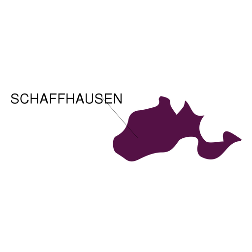
Schaffhausen canton map PNG Design
Choose a folder
All favorites
Create new
Save
Schaffhausen canton map PNG Design
Premium
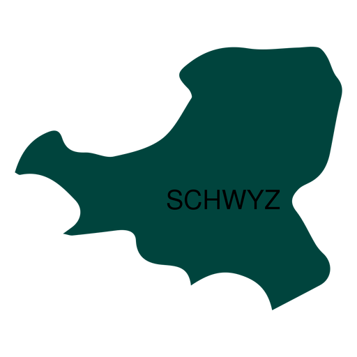
Schwyz canton map PNG Design
Choose a folder
All favorites
Create new
Save
Schwyz canton map PNG Design
Premium
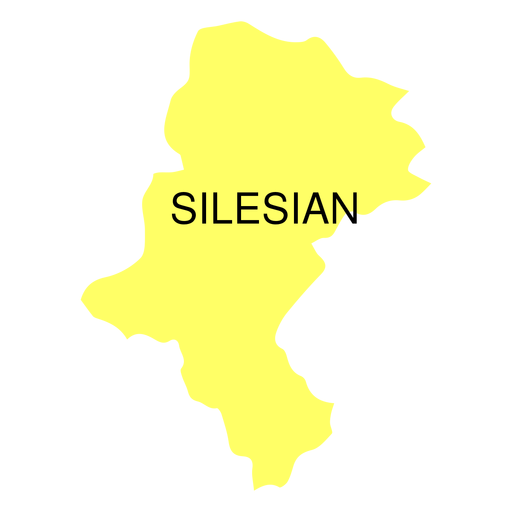
Silesian voivodeship map PNG Design
Choose a folder
All favorites
Create new
Save
Silesian voivodeship map PNG Design
Premium
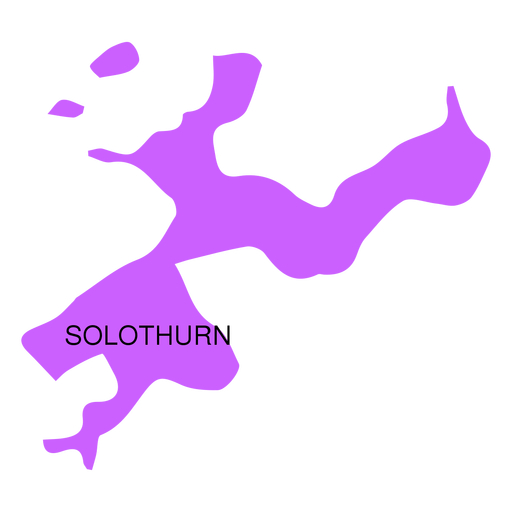
Solothurn canton map PNG Design
Choose a folder
All favorites
Create new
Save
Solothurn canton map PNG Design
Premium
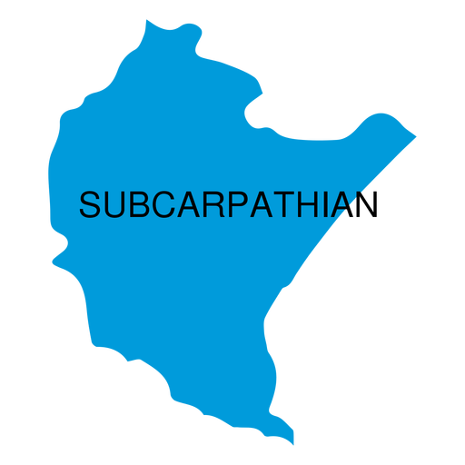
Subcarpathian voivodeship map PNG Design
Choose a folder
All favorites
Create new
Save
Subcarpathian voivodeship map PNG Design
Premium
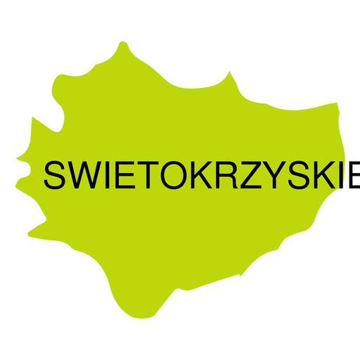
Swietokrzyskie voivodeship map PNG Design
Choose a folder
All favorites
Create new
Save
Swietokrzyskie voivodeship map PNG Design
Premium
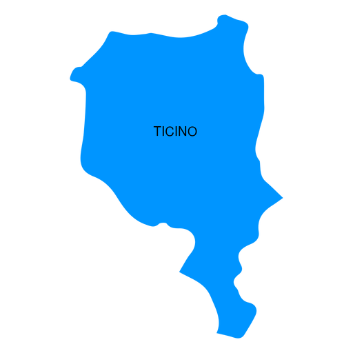
Ticino canton map PNG Design
Choose a folder
All favorites
Create new
Save
Ticino canton map PNG Design
Premium
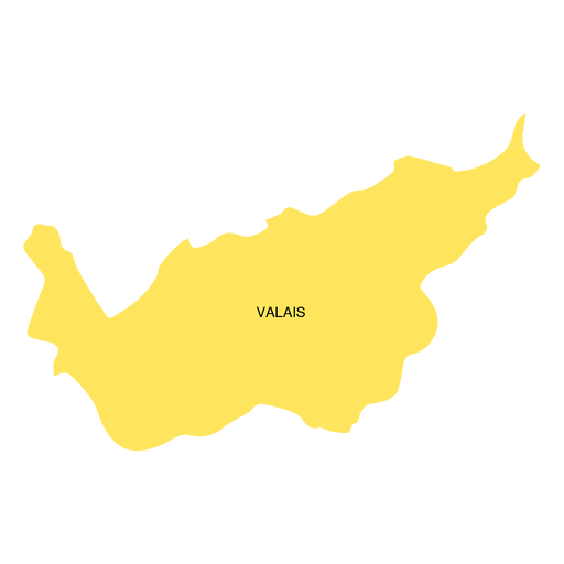
Valais canton map PNG Design
Choose a folder
All favorites
Create new
Save
Valais canton map PNG Design
Premium
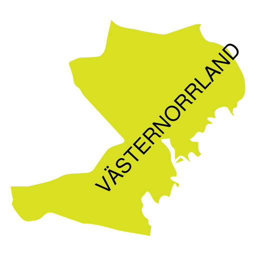
Vasternorrland county map PNG Design
Choose a folder
All favorites
Create new
Save
Vasternorrland county map PNG Design
Premium
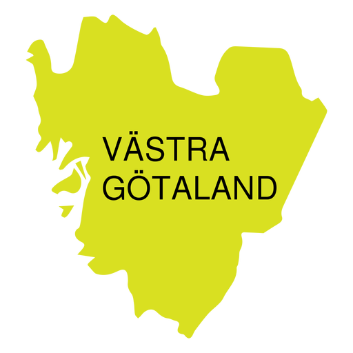
Vastra gotland county map PNG Design
Choose a folder
All favorites
Create new
Save
Vastra gotland county map PNG Design
Premium
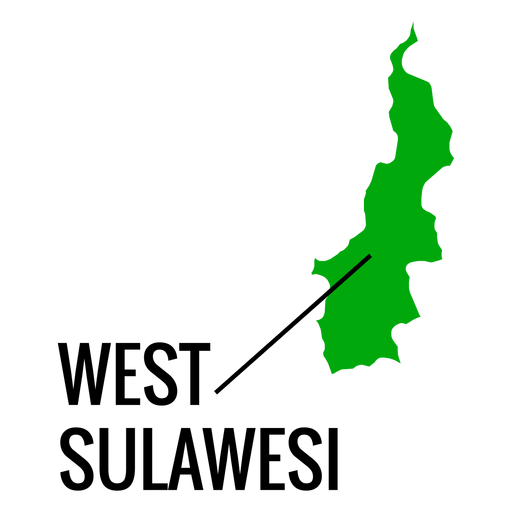
West sulawesi province map PNG Design
Choose a folder
All favorites
Create new
Save
West sulawesi province map PNG Design
Premium
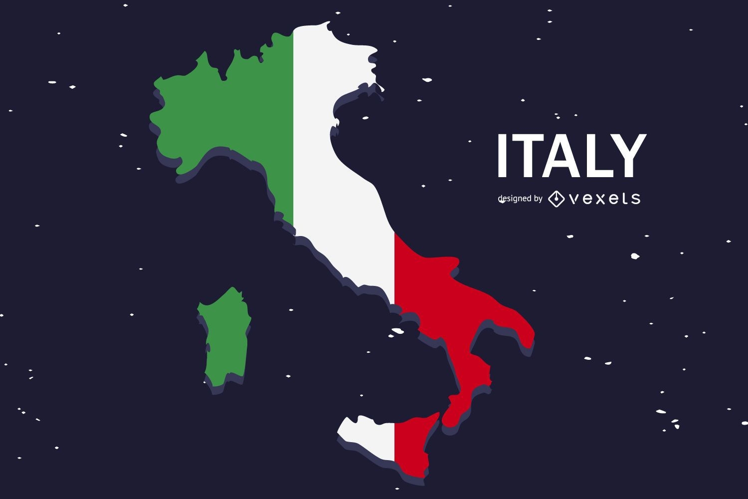
Italy Flag Flat Country Design
Choose a folder
All favorites
Create new
Save
Italy Flag Flat Country Design
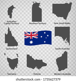
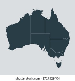
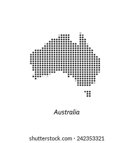
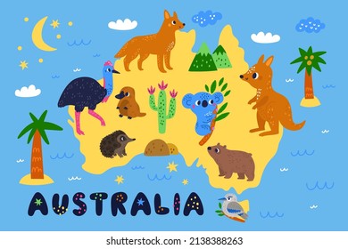
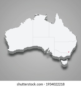
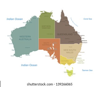
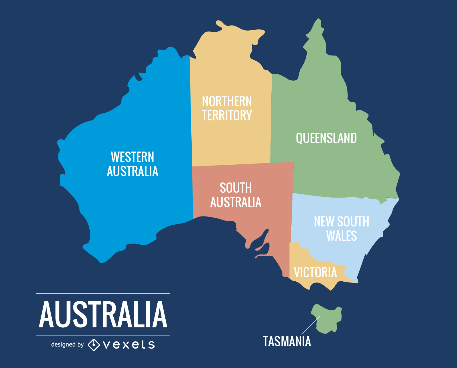
015 Australia Map
Choose a folder
All favorites
Create new
Save
015 Australia Map
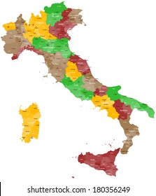
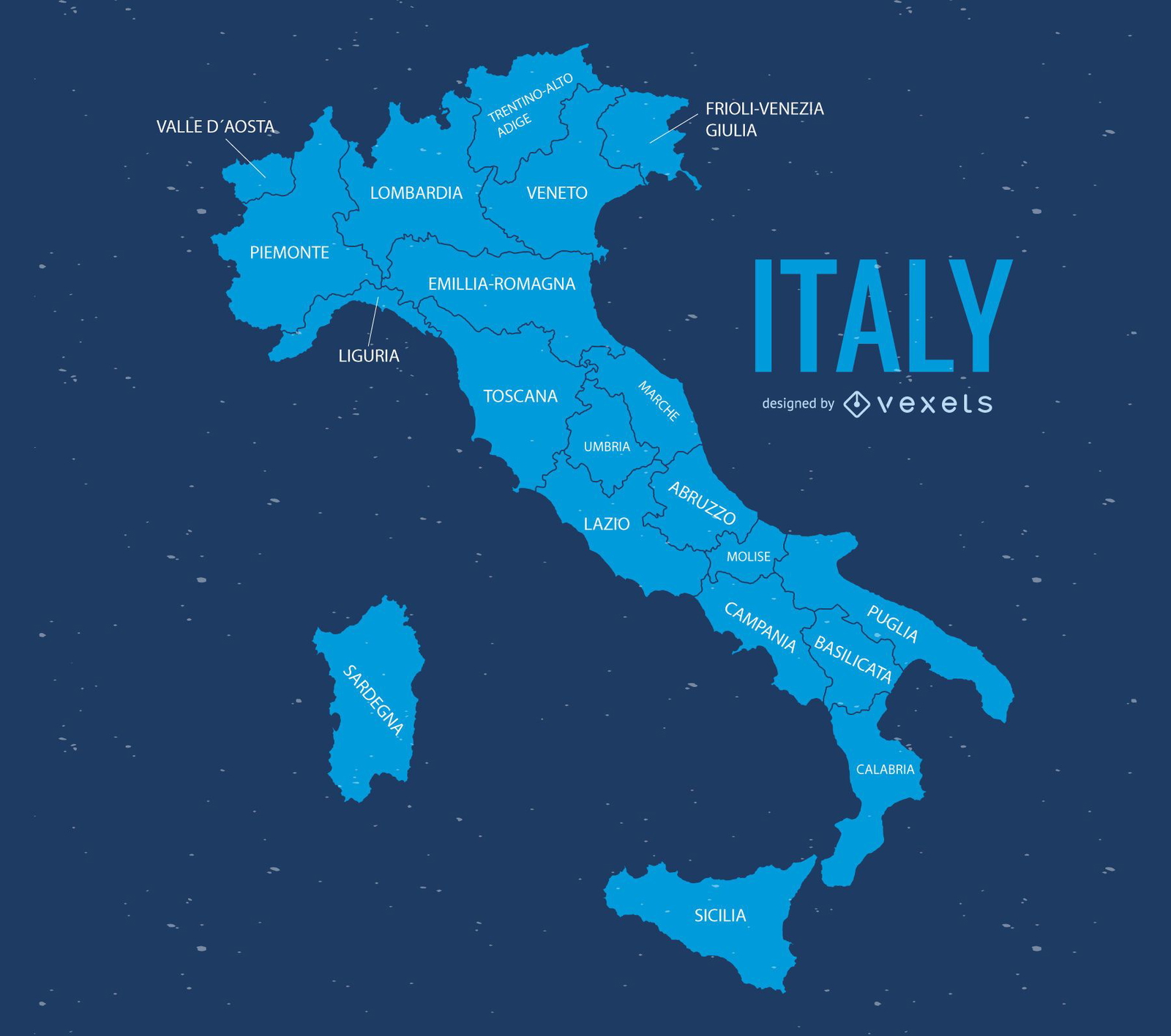
Italy map illustration
Choose a folder
All favorites
Create new
Save
Italy map illustration
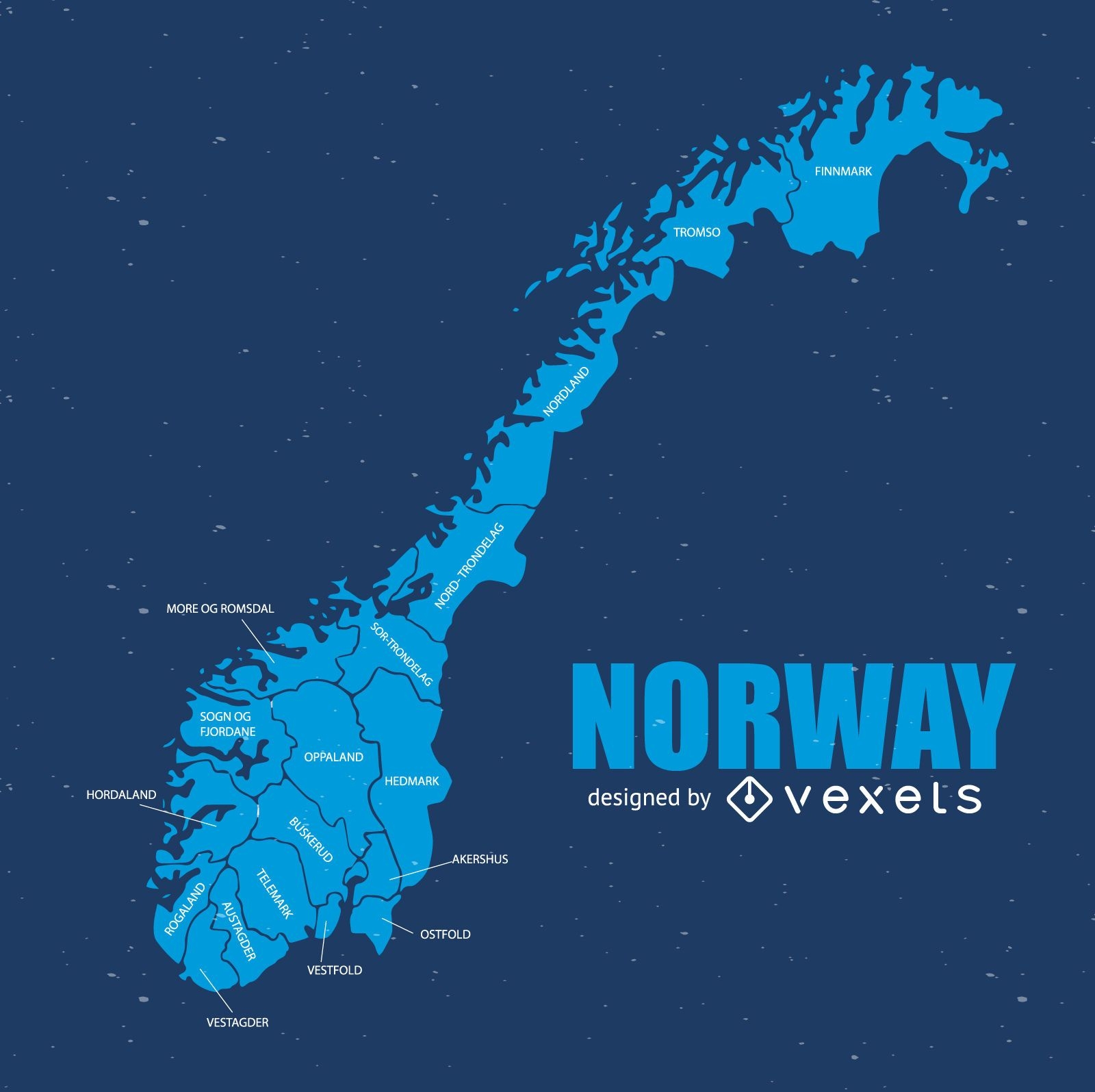
Norway map
Choose a folder
All favorites
Create new
Save
Norway map
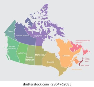
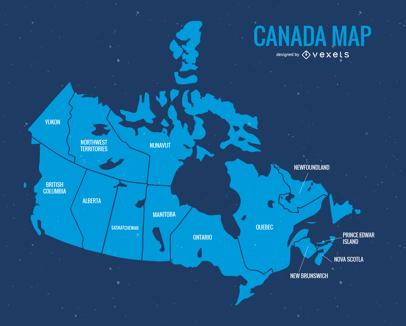
Blue Canada Day Vector Map
Choose a folder
All favorites
Create new
Save
Blue Canada Day Vector Map
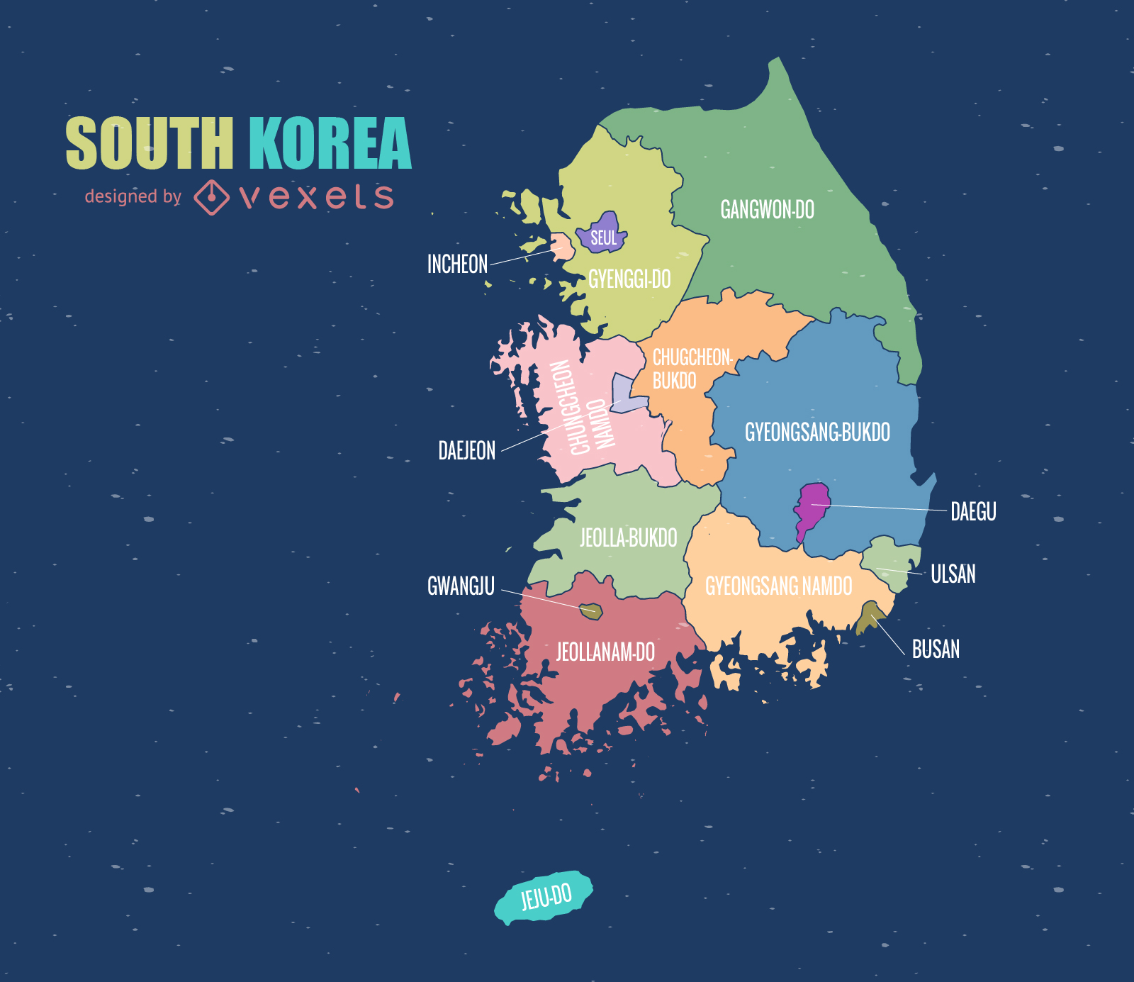
South Korea Map
Choose a folder
All favorites
Create new
Save
South Korea Map
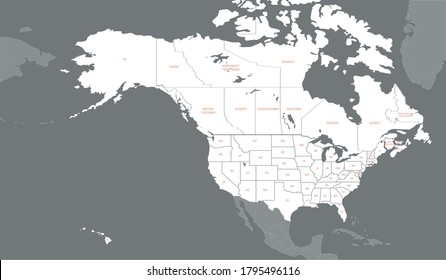
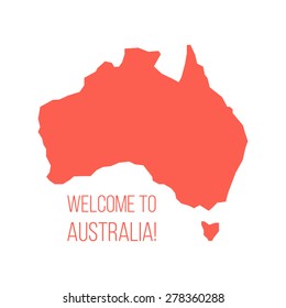
Australia Political Map Vector
Choose a folder
All favorites
Create new
Save
Australia Political Map Vector
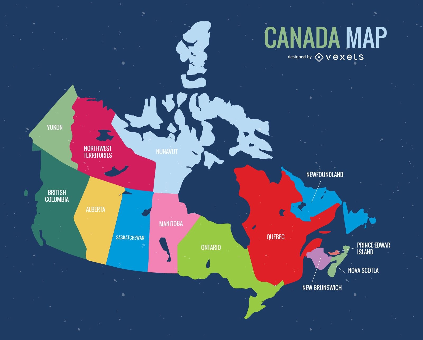
Canada Day Vector Map
Choose a folder
All favorites
Create new
Save
Canada Day Vector Map
Premium
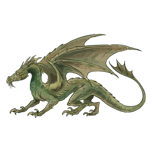
Illustration of a green dragon PNG Design
Choose a folder
All favorites
Create new
Save
Illustration of a green dragon PNG Design
Premium
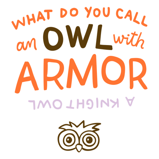
What do you call an owl with armor? PNG Design
Choose a folder
All favorites
Create new
Save
What do you call an owl with armor? PNG Design
Boost Your Business
With The Leading Graphic Platform For Merch.
SEE PLANS
of 8
prev page
next page