Design Library
New Merch Designs
T-Shirts
Vectors
Trending Merch Designs
PNGs & SVGs
Mockups
T-Shirt PSD Templates
Explore Designs
KDP Designs
Posters
Mugs
Phone Cases
Tote Bags
Pillows
Design Tools
Merch Designer
New!
Mockup Generator
AI Design Generator
Image Vectorizer
Quote Generator
T-Shirt Maker (Old)
Resources
Merch Digest
Blog
Help Center
Learn About Merch
Feedback
Corporate Solutions
Enterprise
API Access
Design Studio
Bulk Design Production
Pricing
Loading...
Sign Up
Login
All
territory
Design Library
New Merch Designs
T-Shirts
Vectors
Trending Merch Designs
PNGs & SVGs
Mockups
T-Shirt PSD Templates
Explore Designs
KDP Designs
Posters
Mugs
Phone Cases
Tote Bags
Pillows
Design Tools
Merch Designer
New!
Mockup Generator
AI Design Generator
Image Vectorizer
Quote Generator
T-Shirt Maker (Old)
Resources
Merch Digest
Blog
Help Center
Learn About Merch
Feedback
Corporate Solutions
Enterprise
API Access
Design Studio
Bulk Design Production
PLANS
All
territory
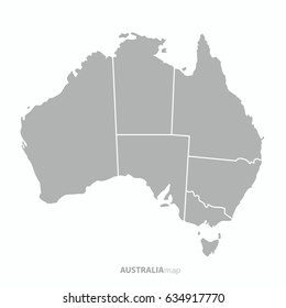
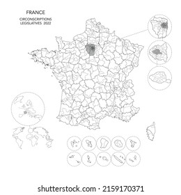
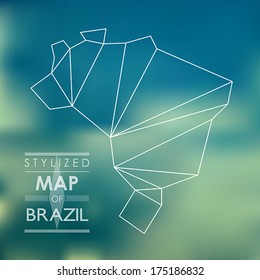
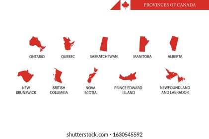
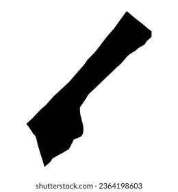
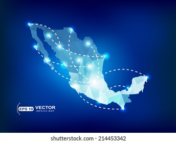
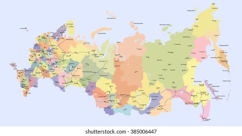
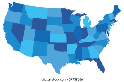
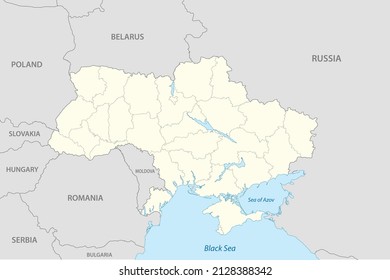
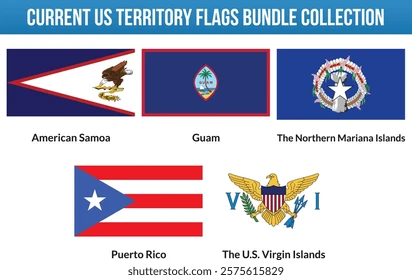
391 territory designs graphics for t-shirt and print on demand merch
Download territory t-shirt designs and other merch graphics like book covers, phone cases, tote bags and more.
Related:
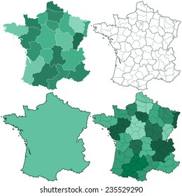
french territory
,
turkish territory
,
polish territory
Sort by
Most relevant
Sponsored results by
Get 15% off with code: VEXELS15
Show more
Premium
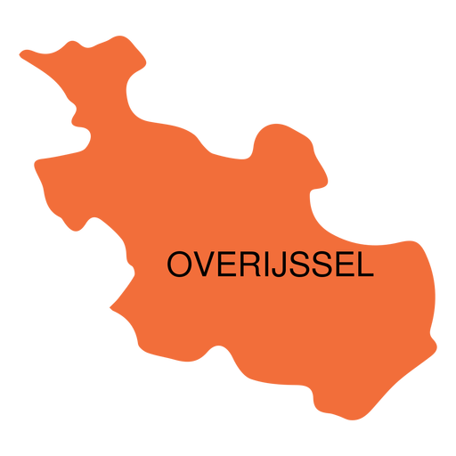
Overijssel province map PNG Design
Choose a folder
All favorites
Create new
Save
Overijssel province map PNG Design
Premium
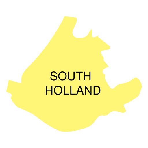
South holland province map PNG Design
Choose a folder
All favorites
Create new
Save
South holland province map PNG Design
Premium
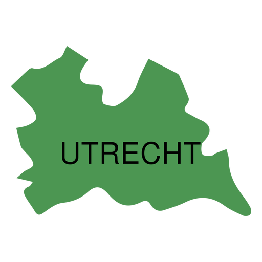
Utrecht province map PNG Design
Choose a folder
All favorites
Create new
Save
Utrecht province map PNG Design
Premium
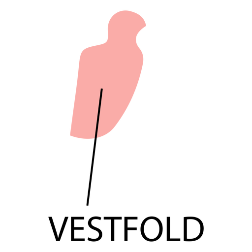
Vestfold county map PNG Design
Choose a folder
All favorites
Create new
Save
Vestfold county map PNG Design
Premium
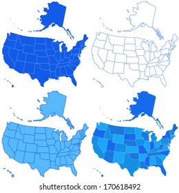
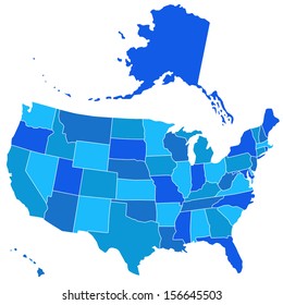
US states lettering badges set
Choose a folder
All favorites
Create new
Save
US states lettering badges set
Premium
Halland county map PNG Design
Choose a folder
All favorites
Create new
Save
Halland county map PNG Design
Premium
Kuyavian pomeranian voivodeship map PNG Design
Choose a folder
All favorites
Create new
Save
Kuyavian pomeranian voivodeship map PNG Design
Premium
Piedmont region map PNG Design
Choose a folder
All favorites
Create new
Save
Piedmont region map PNG Design
Premium
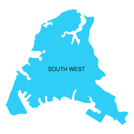
South west district map PNG Design
Choose a folder
All favorites
Create new
Save
South west district map PNG Design
Premium
Central java province map PNG Design
Choose a folder
All favorites
Create new
Save
Central java province map PNG Design
Premium
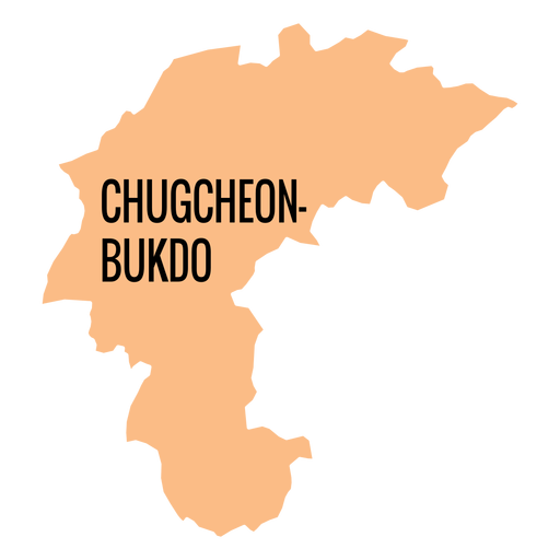
Chungcheongbuk do province map PNG Design
Choose a folder
All favorites
Create new
Save
Chungcheongbuk do province map PNG Design
Premium
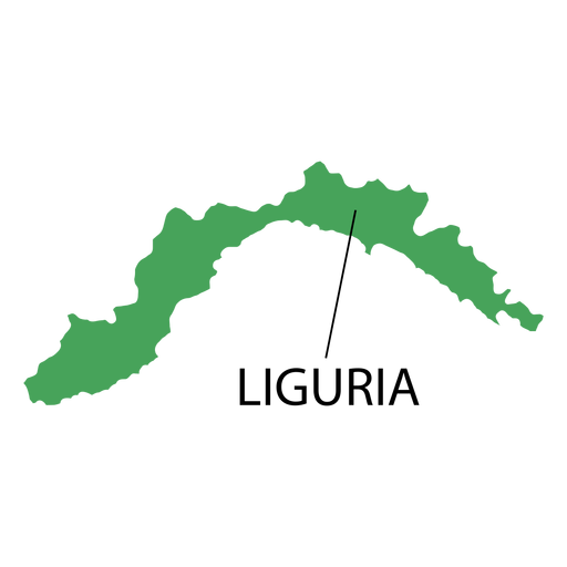
Liguria region map PNG Design
Choose a folder
All favorites
Create new
Save
Liguria region map PNG Design
Premium
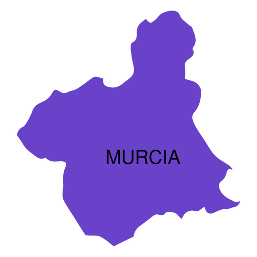
Murcia autonomous community map PNG Design
Choose a folder
All favorites
Create new
Save
Murcia autonomous community map PNG Design
Premium
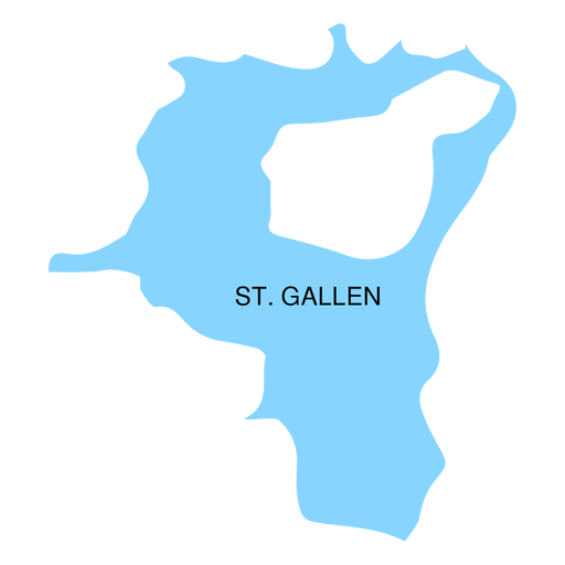
St gallen canton map PNG Design
Choose a folder
All favorites
Create new
Save
St gallen canton map PNG Design
Premium
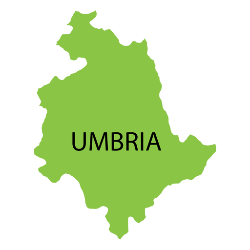
Umbria region map PNG Design
Choose a folder
All favorites
Create new
Save
Umbria region map PNG Design
Premium
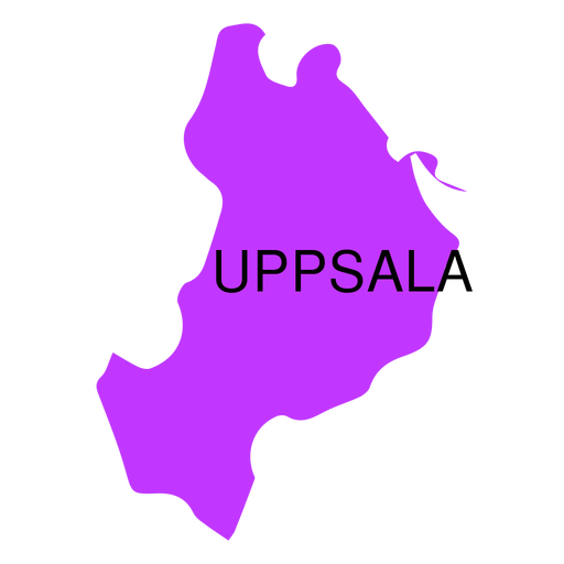
Uppsala county map PNG Design
Choose a folder
All favorites
Create new
Save
Uppsala county map PNG Design
Premium
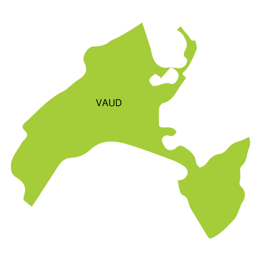
Vaud canton map PNG Design
Choose a folder
All favorites
Create new
Save
Vaud canton map PNG Design
Premium
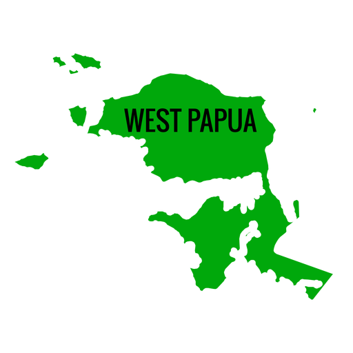
West papua province map PNG Design
Choose a folder
All favorites
Create new
Save
West papua province map PNG Design
Premium
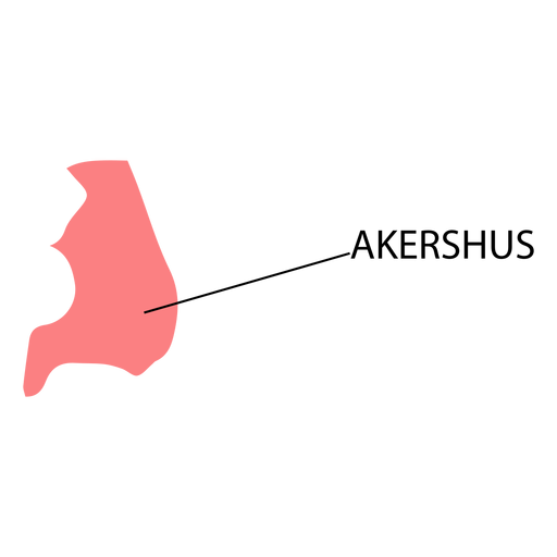
Akershus county map PNG Design
Choose a folder
All favorites
Create new
Save
Akershus county map PNG Design
Premium
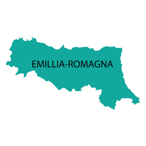
Emilia romagna region map PNG Design
Choose a folder
All favorites
Create new
Save
Emilia romagna region map PNG Design
Premium
Jeju self governing province map PNG Design
Choose a folder
All favorites
Create new
Save
Jeju self governing province map PNG Design
Premium
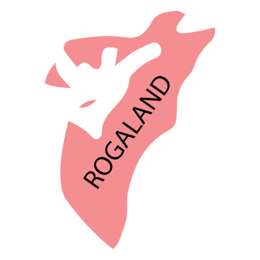
Rogaland county map PNG Design
Choose a folder
All favorites
Create new
Save
Rogaland county map PNG Design
Premium
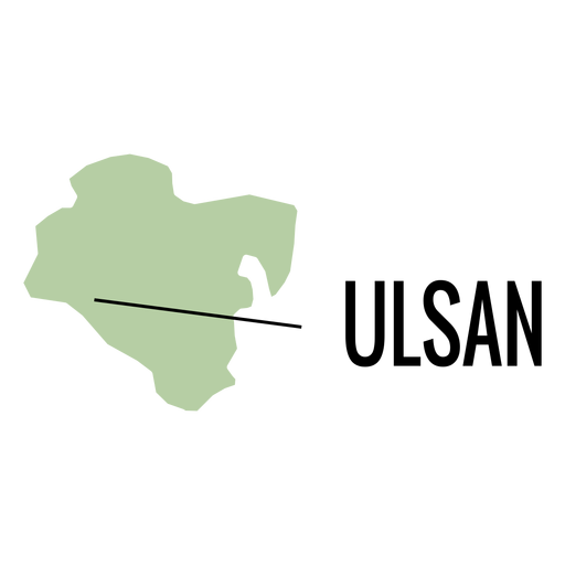
Ulsan metropolitan city map PNG Design
Choose a folder
All favorites
Create new
Save
Ulsan metropolitan city map PNG Design
Premium
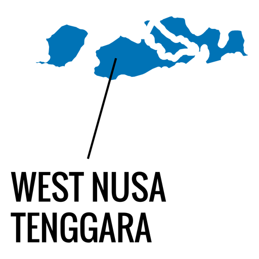
West nusa tenggara province map PNG Design
Choose a folder
All favorites
Create new
Save
West nusa tenggara province map PNG Design
Premium
Daejeon metropolitan city map PNG Design
Choose a folder
All favorites
Create new
Save
Daejeon metropolitan city map PNG Design
Premium
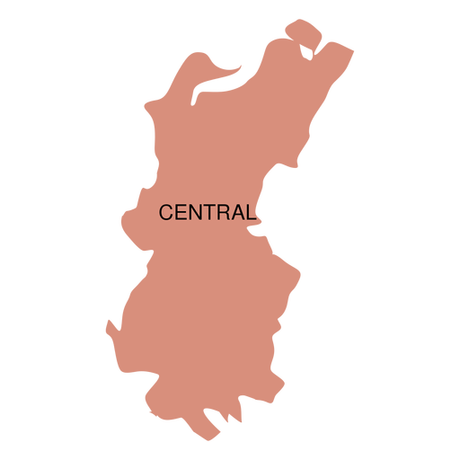
Central district map PNG Design
Choose a folder
All favorites
Create new
Save
Central district map PNG Design
Premium
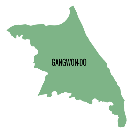
Gangwon do province map PNG Design
Choose a folder
All favorites
Create new
Save
Gangwon do province map PNG Design
Premium
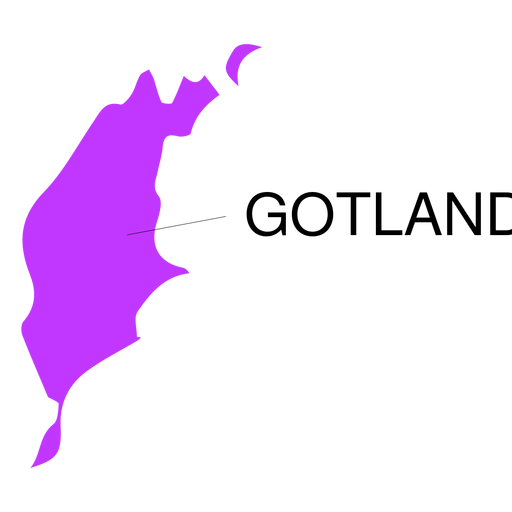
Gotland county map PNG Design
Choose a folder
All favorites
Create new
Save
Gotland county map PNG Design
Premium
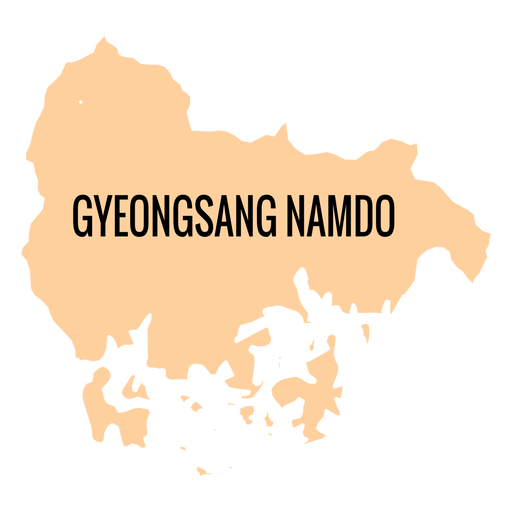
Gyeongsangnam do province map PNG Design
Choose a folder
All favorites
Create new
Save
Gyeongsangnam do province map PNG Design
Premium
Hordaland county map PNG Design
Choose a folder
All favorites
Create new
Save
Hordaland county map PNG Design
Premium
North maluku province map PNG Design
Choose a folder
All favorites
Create new
Save
North maluku province map PNG Design
Premium
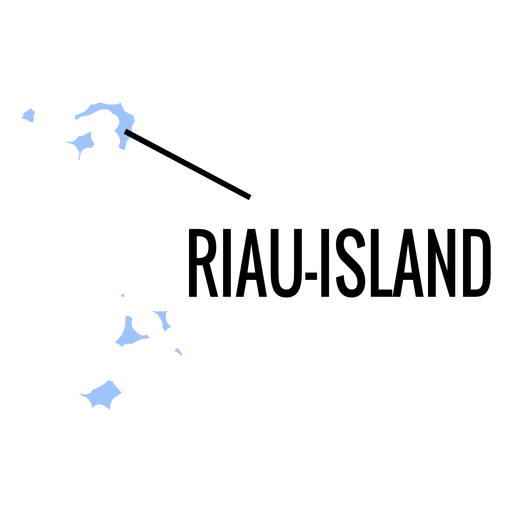
Riau islands province map PNG Design
Choose a folder
All favorites
Create new
Save
Riau islands province map PNG Design
Premium
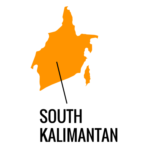
South kalimantan province map PNG Design
Choose a folder
All favorites
Create new
Save
South kalimantan province map PNG Design
Premium
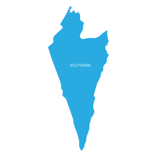
Southern israel district map PNG Design
Choose a folder
All favorites
Create new
Save
Southern israel district map PNG Design
Premium
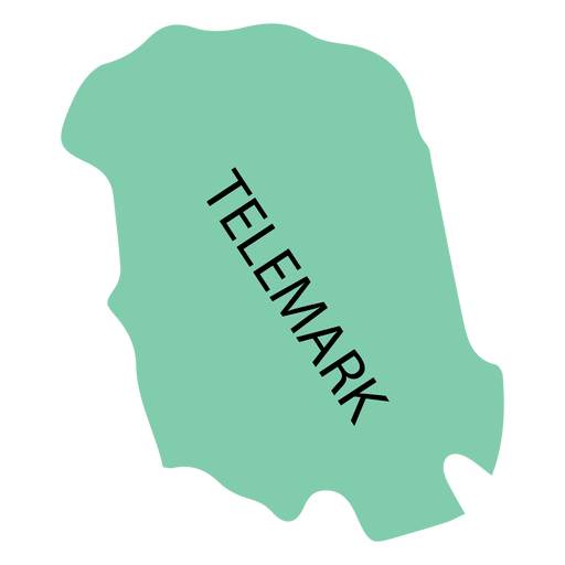
Telemark county map PNG Design
Choose a folder
All favorites
Create new
Save
Telemark county map PNG Design
Premium
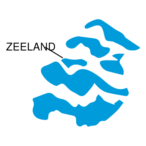
Zeeland province map PNG Design
Choose a folder
All favorites
Create new
Save
Zeeland province map PNG Design
Premium
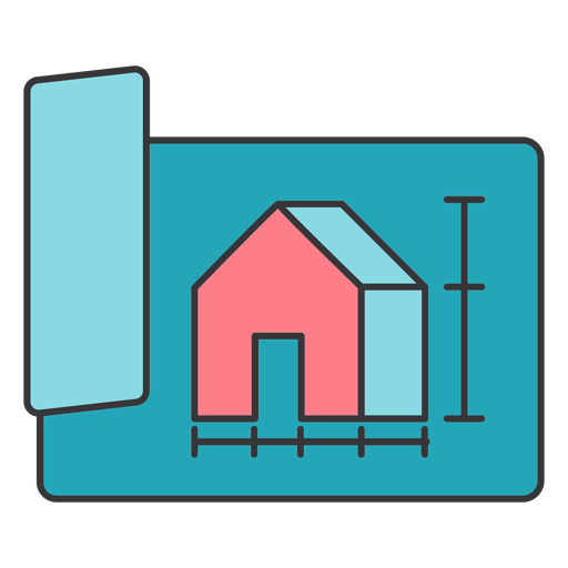
Draft outline plan paper measurement building construction house flat PNG Design
Choose a folder
All favorites
Create new
Save
Draft outline plan paper measurement building construction house flat PNG Design
Premium
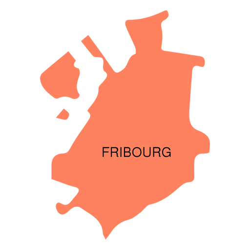
Fribourg canton map PNG Design
Choose a folder
All favorites
Create new
Save
Fribourg canton map PNG Design
Premium
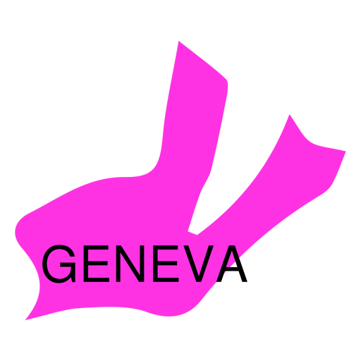
Geneva canton map PNG Design
Choose a folder
All favorites
Create new
Save
Geneva canton map PNG Design
Premium
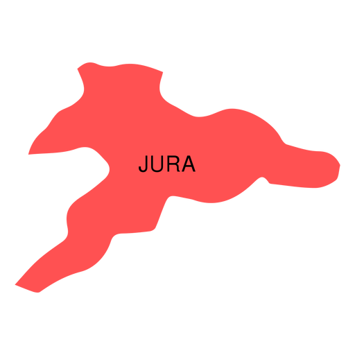
Jura canton map PNG Design
Choose a folder
All favorites
Create new
Save
Jura canton map PNG Design
Premium
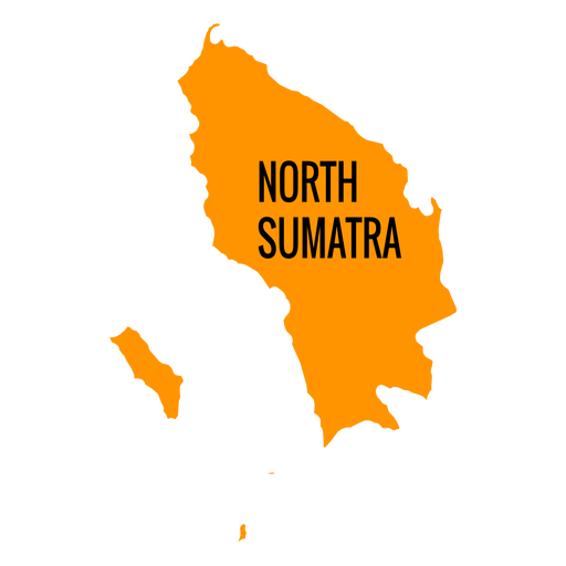
North sumatra province map PNG Design
Choose a folder
All favorites
Create new
Save
North sumatra province map PNG Design
Premium
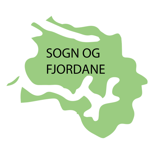
Sogn og fjordane county map PNG Design
Choose a folder
All favorites
Create new
Save
Sogn og fjordane county map PNG Design
Premium
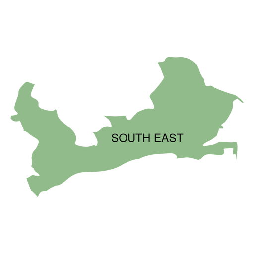
South east district map PNG Design
Choose a folder
All favorites
Create new
Save
South east district map PNG Design
Premium
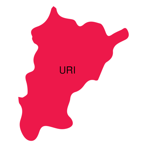
Uri canton map PNG Design
Choose a folder
All favorites
Create new
Save
Uri canton map PNG Design
Premium
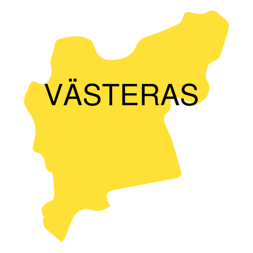
Vastmanland county map PNG Design
Choose a folder
All favorites
Create new
Save
Vastmanland county map PNG Design
Premium
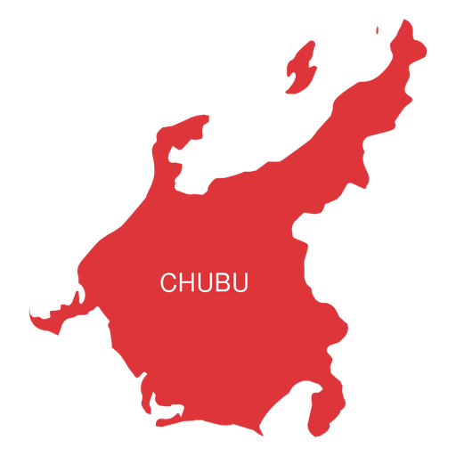
Chubu region map PNG Design
Choose a folder
All favorites
Create new
Save
Chubu region map PNG Design
Premium
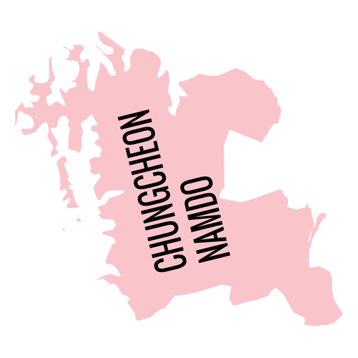
Chungcheongnam do province map PNG Design
Choose a folder
All favorites
Create new
Save
Chungcheongnam do province map PNG Design
Premium
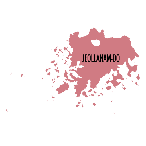
Jeollanam do province map PNG Design
Choose a folder
All favorites
Create new
Save
Jeollanam do province map PNG Design
Premium
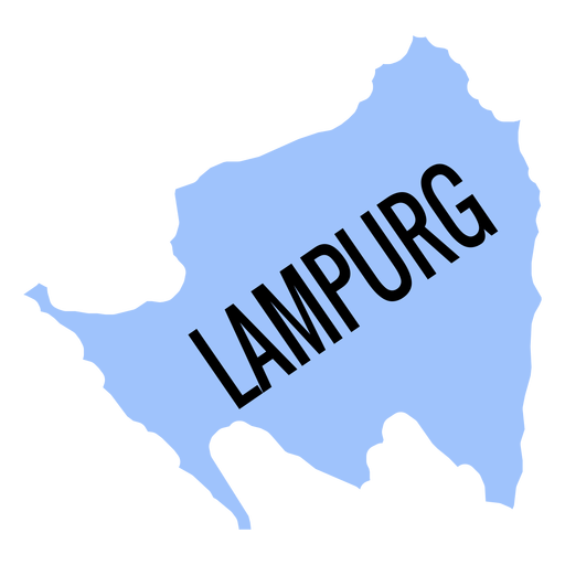
Lampurg province map PNG Design
Choose a folder
All favorites
Create new
Save
Lampurg province map PNG Design
Premium
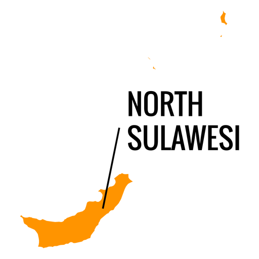
North sulawesi province map PNG Design
Choose a folder
All favorites
Create new
Save
North sulawesi province map PNG Design
Boost Your Business
With The Leading Graphic Platform For Merch.
SEE PLANS
Next
of 8
prev page
next page