Design Library
New Merch Designs
T-Shirts
Vectors
Trending Merch Designs
PNGs & SVGs
Mockups
T-Shirt PSD Templates
Explore Designs
KDP Designs
Posters
Mugs
Phone Cases
Tote Bags
Pillows
Design Tools
Merch Designer
New!
Mockup Generator
AI Design Generator
Image Vectorizer
Quote Generator
T-Shirt Maker (Old)
Resources
Merch Digest
Blog
Help Center
Learn About Merch
Feedback
Corporate Solutions
Enterprise
API Access
Design Studio
Bulk Design Production
Pricing
Loading...
Sign Up
Login
All
territory
Design Library
New Merch Designs
T-Shirts
Vectors
Trending Merch Designs
PNGs & SVGs
Mockups
T-Shirt PSD Templates
Explore Designs
KDP Designs
Posters
Mugs
Phone Cases
Tote Bags
Pillows
Design Tools
Merch Designer
New!
Mockup Generator
AI Design Generator
Image Vectorizer
Quote Generator
T-Shirt Maker (Old)
Resources
Merch Digest
Blog
Help Center
Learn About Merch
Feedback
Corporate Solutions
Enterprise
API Access
Design Studio
Bulk Design Production
PLANS
All
territory
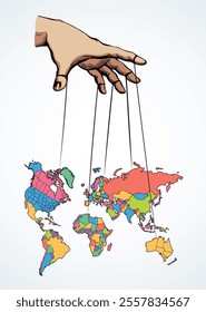
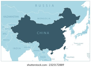
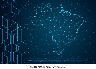
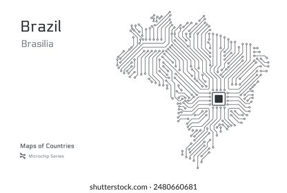
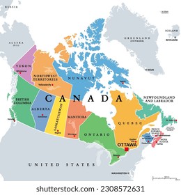
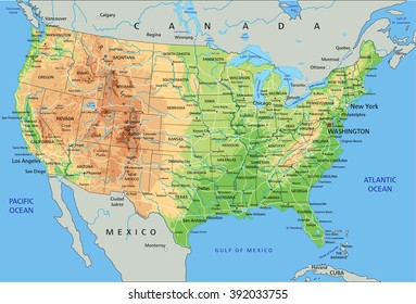
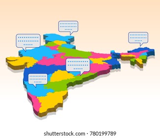
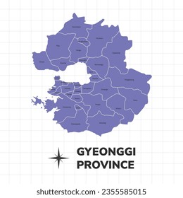
391 territory designs graphics for t-shirt and print on demand merch
Download territory t-shirt designs and other merch graphics like book covers, phone cases, tote bags and more.
Related:
french territory
,
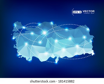
turkish territory
,
polish territory
Sort by
Most relevant
Sponsored results by
Get 15% off with code: VEXELS15
Show more
Premium
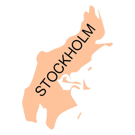
Stockholm county map PNG Design
Choose a folder
All favorites
Create new
Save
Stockholm county map PNG Design
Premium
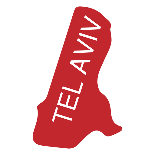
Tel aviv district map PNG Design
Choose a folder
All favorites
Create new
Save
Tel aviv district map PNG Design
Premium
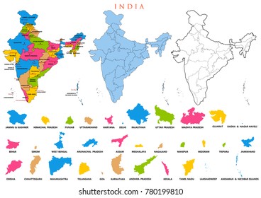
Tripura state map PNG Design
Choose a folder
All favorites
Create new
Save
Tripura state map PNG Design
Premium
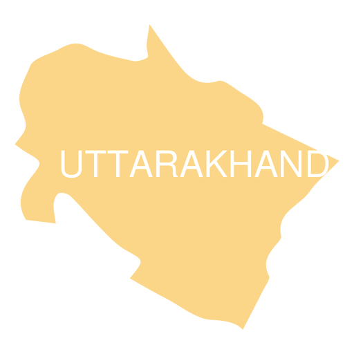
Uttarakhand state map PNG Design
Choose a folder
All favorites
Create new
Save
Uttarakhand state map PNG Design
Premium
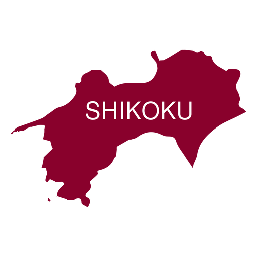
Shikoku region map PNG Design
Choose a folder
All favorites
Create new
Save
Shikoku region map PNG Design
Premium
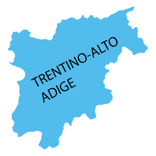
Trentino south tyrol region map PNG Design
Choose a folder
All favorites
Create new
Save
Trentino south tyrol region map PNG Design
Premium
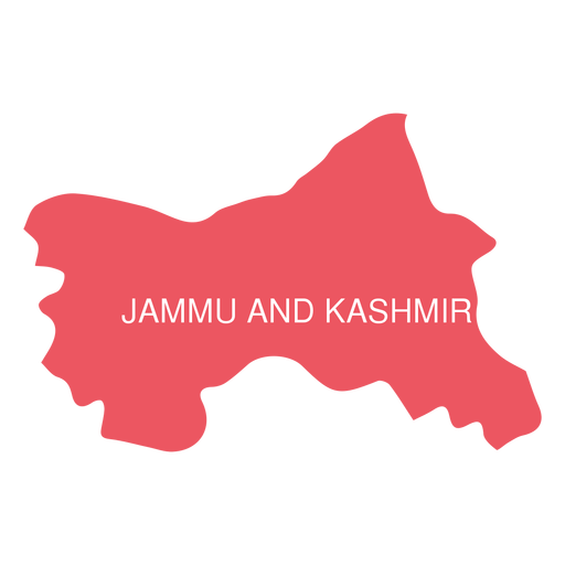
Jammu and kashmir state map PNG Design
Choose a folder
All favorites
Create new
Save
Jammu and kashmir state map PNG Design
Premium
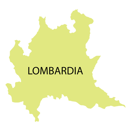
Lombardy region map PNG Design
Choose a folder
All favorites
Create new
Save
Lombardy region map PNG Design
Premium
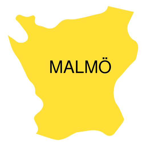
Skane county map PNG Design
Choose a folder
All favorites
Create new
Save
Skane county map PNG Design
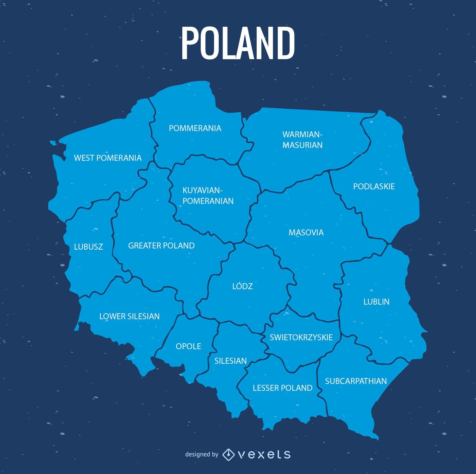
Poland administrative division map
Choose a folder
All favorites
Create new
Save
Poland administrative division map
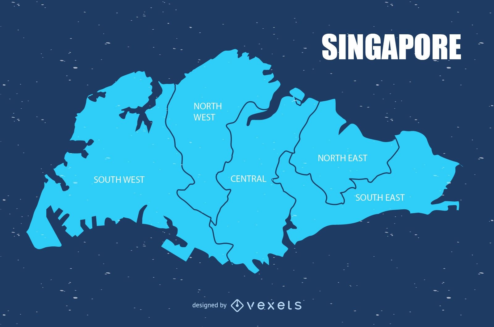
Singapore map vector design
Choose a folder
All favorites
Create new
Save
Singapore map vector design
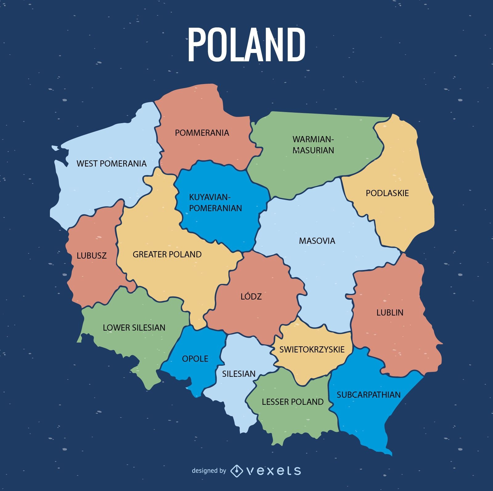
Poland province map
Choose a folder
All favorites
Create new
Save
Poland province map
Premium
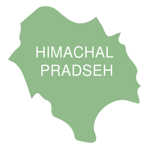
Himachal pradesh state map PNG Design
Choose a folder
All favorites
Create new
Save
Himachal pradesh state map PNG Design
Premium
Stylish outline of taiwan map design PNG Design
Choose a folder
All favorites
Create new
Save
Stylish outline of taiwan map design PNG Design
Premium
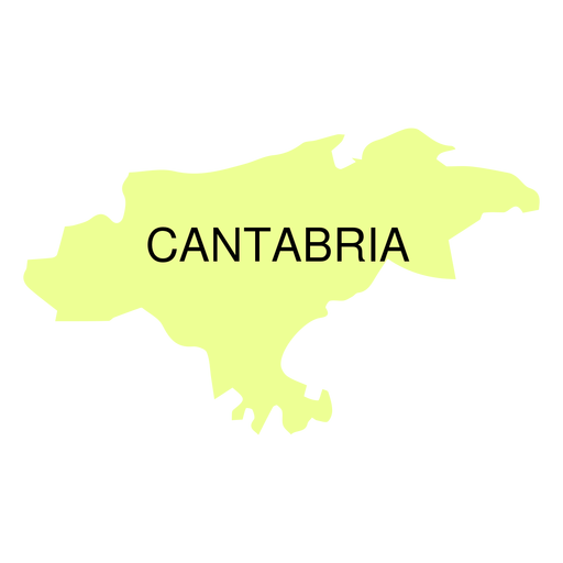
Cantabria autonomous community map PNG Design
Choose a folder
All favorites
Create new
Save
Cantabria autonomous community map PNG Design
Premium
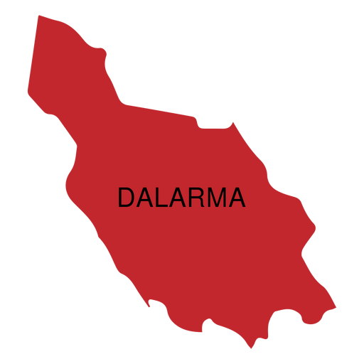
Dalarna county map PNG Design
Choose a folder
All favorites
Create new
Save
Dalarna county map PNG Design
Premium
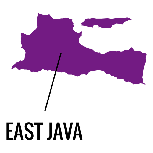
East java province map PNG Design
Choose a folder
All favorites
Create new
Save
East java province map PNG Design
Premium
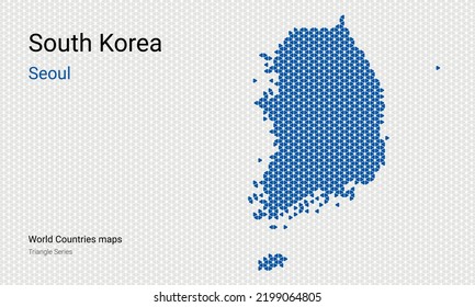
Seoul metropolitan city map PNG Design
Choose a folder
All favorites
Create new
Save
Seoul metropolitan city map PNG Design
Premium
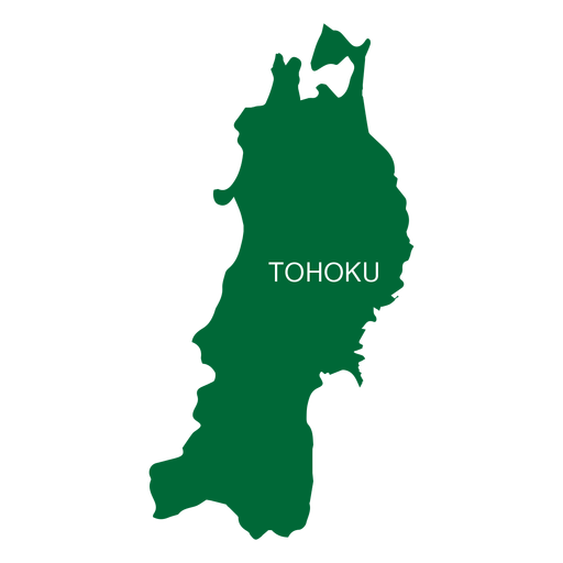
Tohoku region map PNG Design
Choose a folder
All favorites
Create new
Save
Tohoku region map PNG Design
Premium
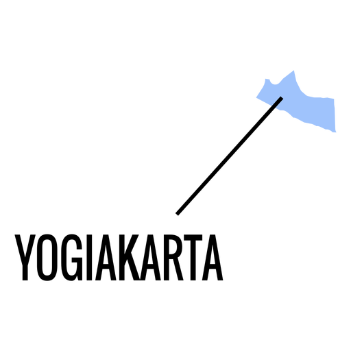
Yogiakarta province map PNG Design
Choose a folder
All favorites
Create new
Save
Yogiakarta province map PNG Design
Premium
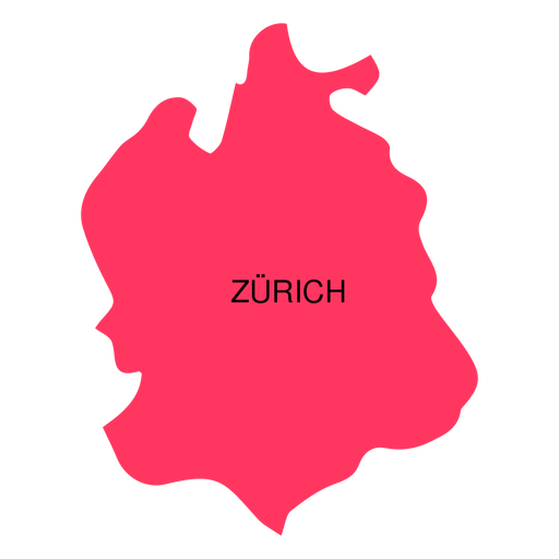
Zurich canton map PNG Design
Choose a folder
All favorites
Create new
Save
Zurich canton map PNG Design
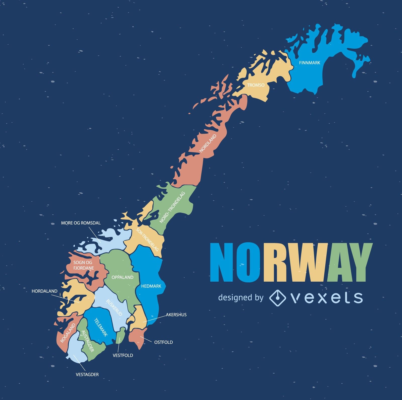
Norway administrative division map
Choose a folder
All favorites
Create new
Save
Norway administrative division map
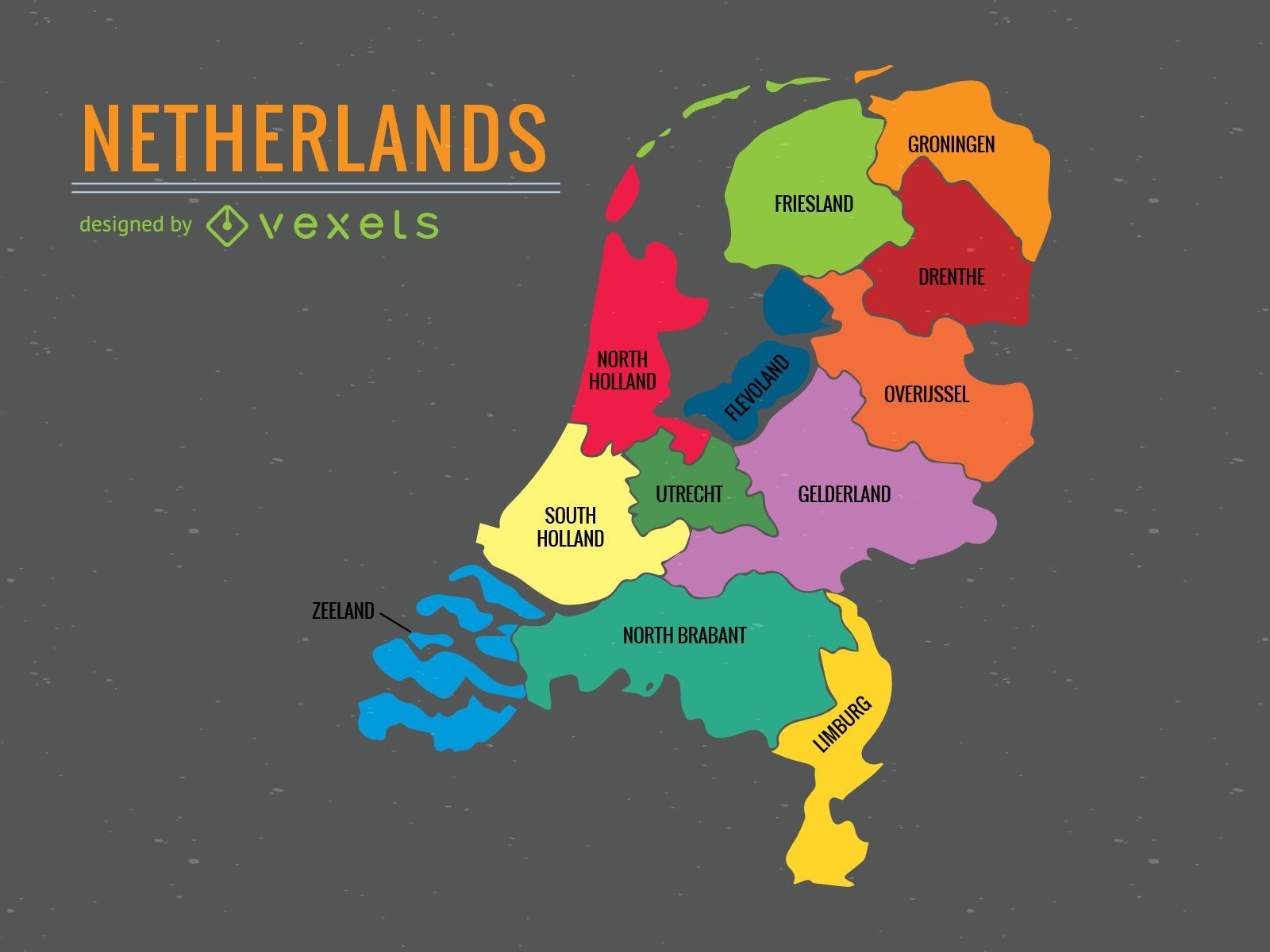
Netherlands administrative division map
Choose a folder
All favorites
Create new
Save
Netherlands administrative division map
Premium
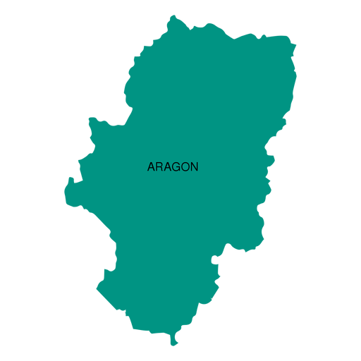
Aragon autonomous community map PNG Design
Choose a folder
All favorites
Create new
Save
Aragon autonomous community map PNG Design
Premium
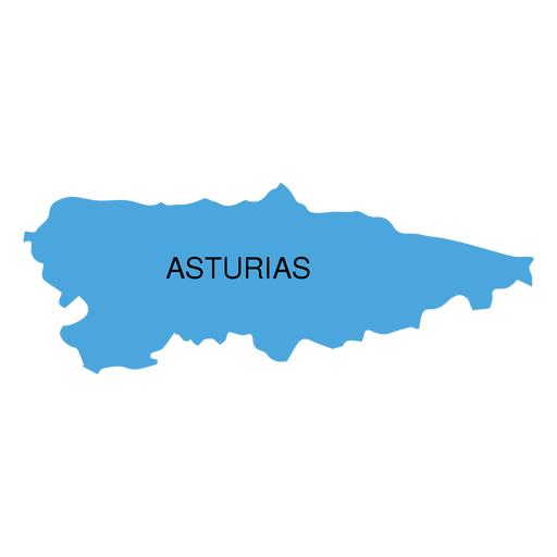
Asturias autonomous community map PNG Design
Choose a folder
All favorites
Create new
Save
Asturias autonomous community map PNG Design
Premium
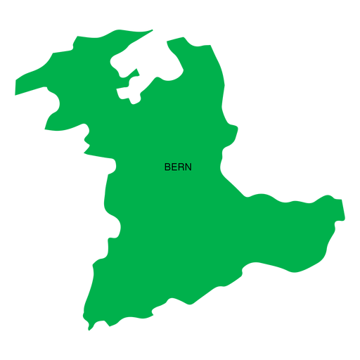
Bern canton map PNG Design
Choose a folder
All favorites
Create new
Save
Bern canton map PNG Design
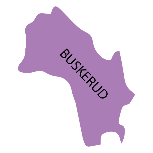
Premium
Buskerud county map PNG Design
Choose a folder
All favorites
Create new
Save
Buskerud county map PNG Design
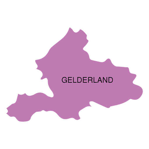
Premium
Gelderland province map PNG Design
Choose a folder
All favorites
Create new
Save
Gelderland province map PNG Design
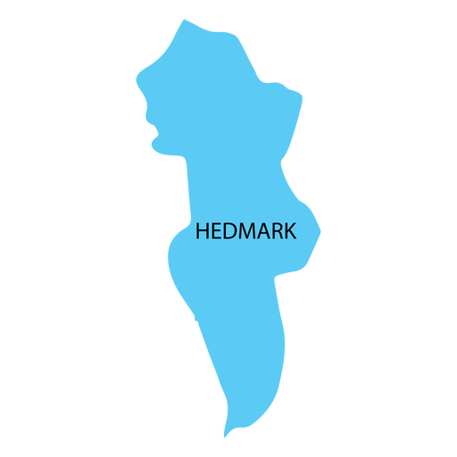
Premium
Hedmark county map PNG Design
Choose a folder
All favorites
Create new
Save
Hedmark county map PNG Design
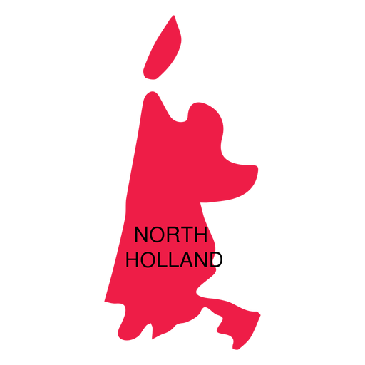
Premium
North holland province map PNG Design
Choose a folder
All favorites
Create new
Save
North holland province map PNG Design
Premium
Abruzzo region map PNG Design
Choose a folder
All favorites
Create new
Save
Abruzzo region map PNG Design
Premium
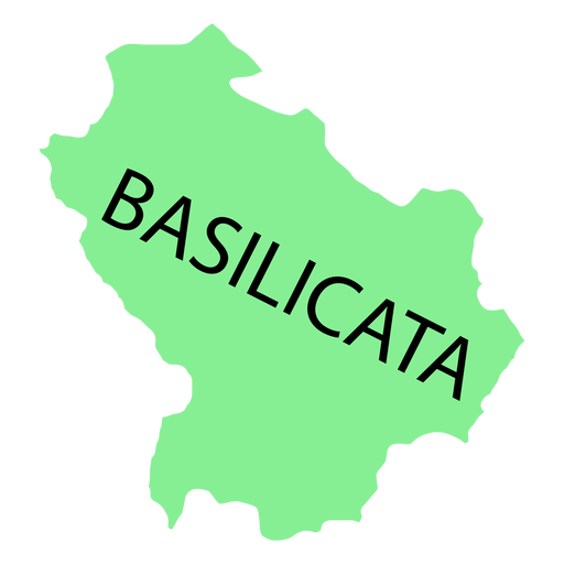
Basilicata region map PNG Design
Choose a folder
All favorites
Create new
Save
Basilicata region map PNG Design
Premium
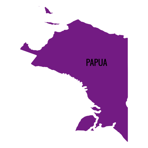
Papua province map PNG Design
Choose a folder
All favorites
Create new
Save
Papua province map PNG Design
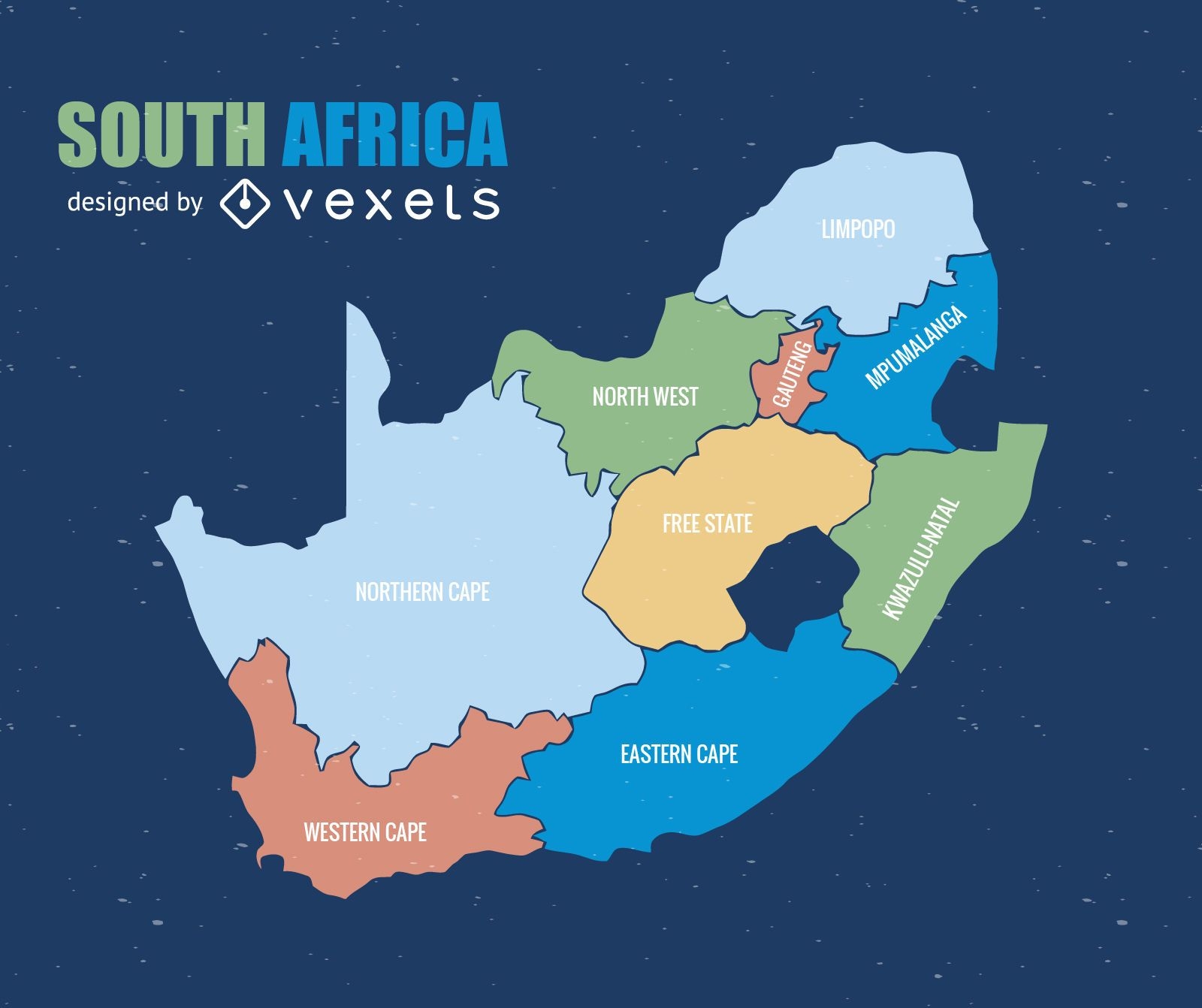
South Africa province map
Choose a folder
All favorites
Create new
Save
South Africa province map
Premium
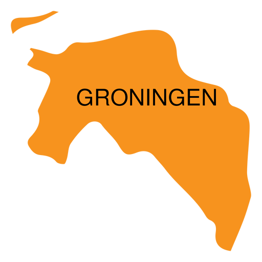
Groningen province map PNG Design
Choose a folder
All favorites
Create new
Save
Groningen province map PNG Design
Premium
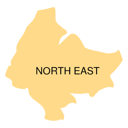
North east district map PNG Design
Choose a folder
All favorites
Create new
Save
North east district map PNG Design
Premium
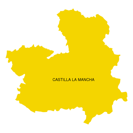
Castilla la mancha autonomous community map PNG Design
Choose a folder
All favorites
Create new
Save
Castilla la mancha autonomous community map PNG Design
Premium
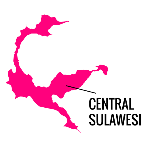
Central sulawesi province map PNG Design
Choose a folder
All favorites
Create new
Save
Central sulawesi province map PNG Design
Premium
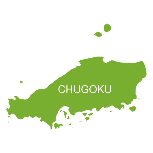
Chugoku region map PNG Design
Choose a folder
All favorites
Create new
Save
Chugoku region map PNG Design
Premium
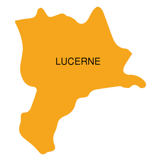
Lucerne canton map PNG Design
Choose a folder
All favorites
Create new
Save
Lucerne canton map PNG Design
Premium
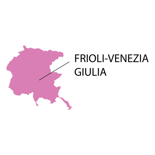
Friuli venezia giulia region map PNG Design
Choose a folder
All favorites
Create new
Save
Friuli venezia giulia region map PNG Design
Premium
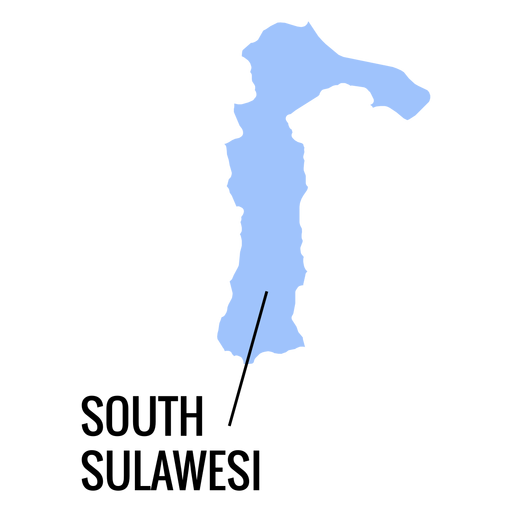
South sulawesi province map PNG Design
Choose a folder
All favorites
Create new
Save
South sulawesi province map PNG Design
Premium
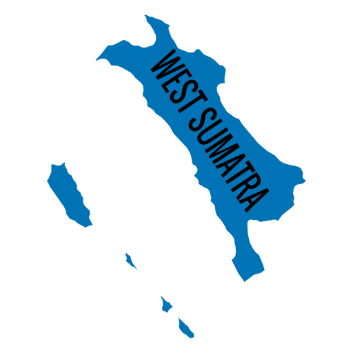
West sumatra province map PNG Design
Choose a folder
All favorites
Create new
Save
West sumatra province map PNG Design
Premium
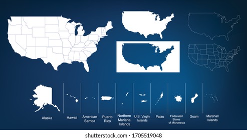
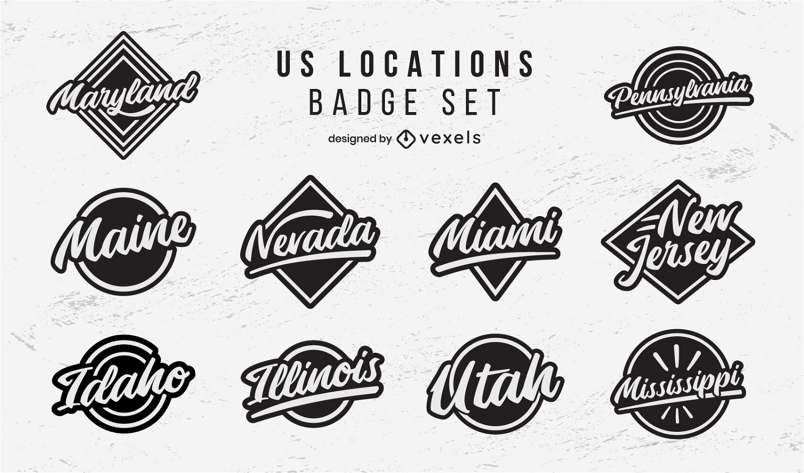
US locations badges lettering set
Choose a folder
All favorites
Create new
Save
US locations badges lettering set
Premium
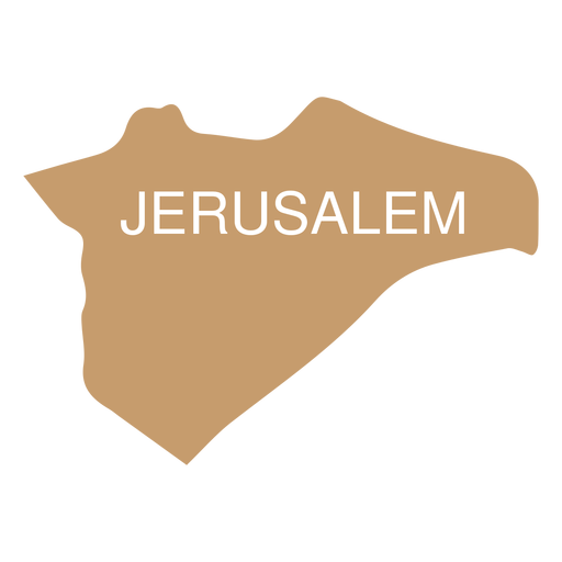
Jerusalem district map PNG Design
Choose a folder
All favorites
Create new
Save
Jerusalem district map PNG Design
Premium
Maluku province map PNG Design
Choose a folder
All favorites
Create new
Save
Maluku province map PNG Design
Premium
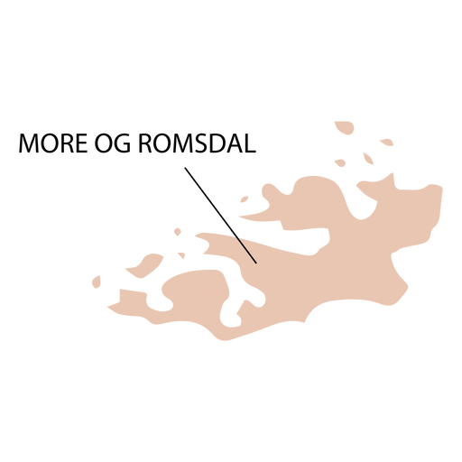
More og romsdal county map PNG Design
Choose a folder
All favorites
Create new
Save
More og romsdal county map PNG Design
Premium
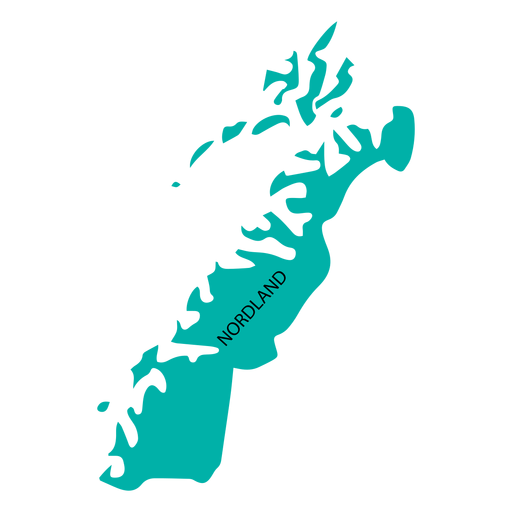
Nordland county map PNG Design
Choose a folder
All favorites
Create new
Save
Nordland county map PNG Design
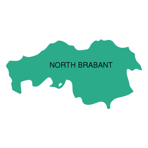
Premium
North brabant province map PNG Design
Choose a folder
All favorites
Create new
Save
North brabant province map PNG Design
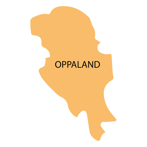
Premium
Oppland county map PNG Design
Choose a folder
All favorites
Create new
Save
Oppland county map PNG Design
Boost Your Business
With The Leading Graphic Platform For Merch.
SEE PLANS
Next
of 8
prev page
next page