Design Library
New Merch Designs
T-Shirts
Vectors
Trending Merch Designs
PNGs & SVGs
Mockups
T-Shirt PSD Templates
Explore Designs
KDP Designs
Posters
Mugs
Phone Cases
Tote Bags
Pillows
Design Tools
Merch Designer
New!
Mockup Generator
AI Design Generator
Image Vectorizer
Quote Generator
T-Shirt Maker (Old)
Resources
Merch Digest
Blog
Help Center
Learn About Merch
Feedback
Corporate Solutions
Enterprise
API Access
Design Studio
Bulk Design Production
Pricing
Loading...
Sign Up
Login
All
territory
Design Library
New Merch Designs
T-Shirts
Vectors
Trending Merch Designs
PNGs & SVGs
Mockups
T-Shirt PSD Templates
Explore Designs
KDP Designs
Posters
Mugs
Phone Cases
Tote Bags
Pillows
Design Tools
Merch Designer
New!
Mockup Generator
AI Design Generator
Image Vectorizer
Quote Generator
T-Shirt Maker (Old)
Resources
Merch Digest
Blog
Help Center
Learn About Merch
Feedback
Corporate Solutions
Enterprise
API Access
Design Studio
Bulk Design Production
PLANS
All
territory
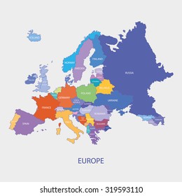
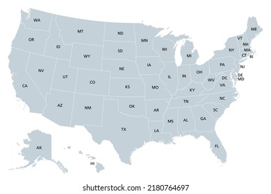
391 territory designs graphics for t-shirt and print on demand merch
Download territory t-shirt designs and other merch graphics like book covers, phone cases, tote bags and more.
Related:
french territory
,
turkish territory
,
polish territory
Sort by
Most relevant
Sponsored results by
Get 15% off with code: VEXELS15
Show more
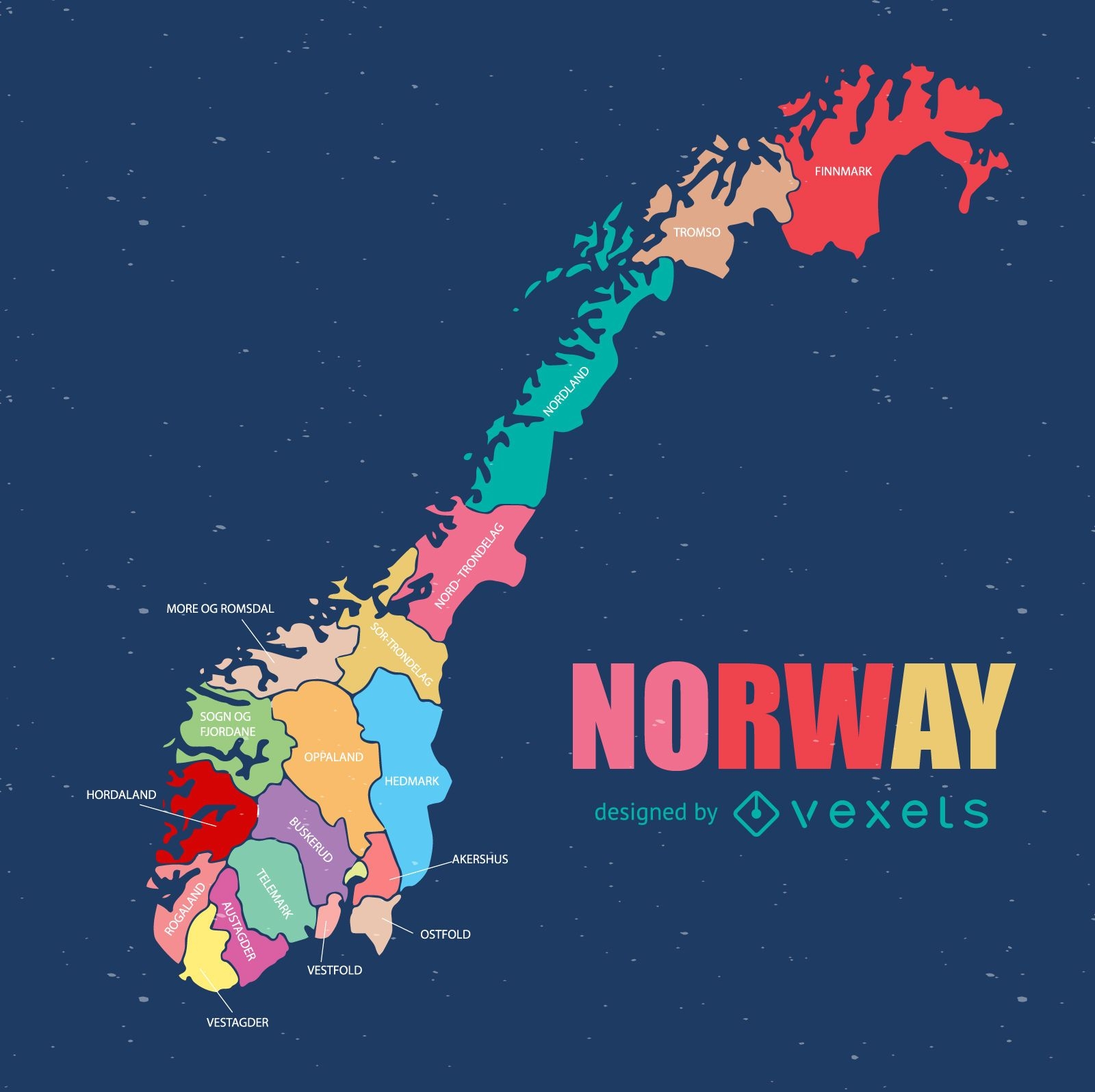
Norway regional county map
Choose a folder
All favorites
Create new
Save
Norway regional county map
Premium
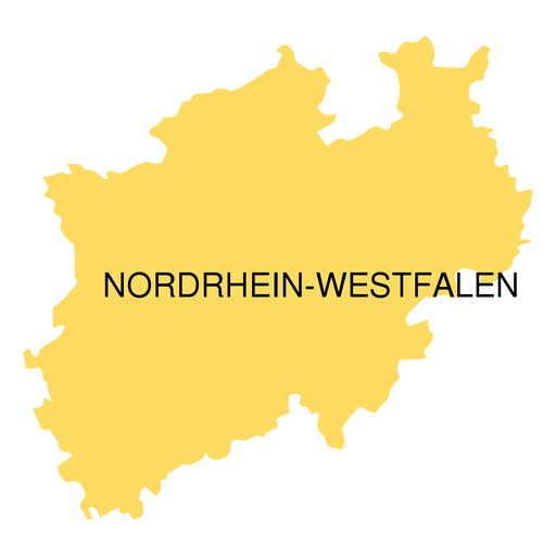
North rhine westfalia state map PNG Design
Choose a folder
All favorites
Create new
Save
North rhine westfalia state map PNG Design
Premium
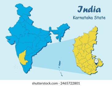
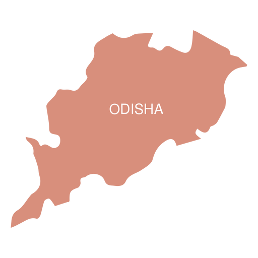
Odisha state map PNG Design
Choose a folder
All favorites
Create new
Save
Odisha state map PNG Design
Premium
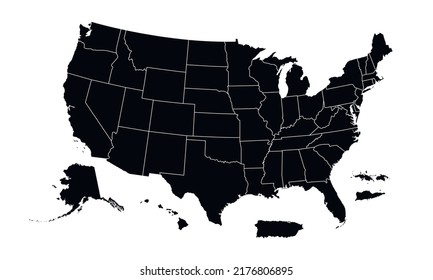
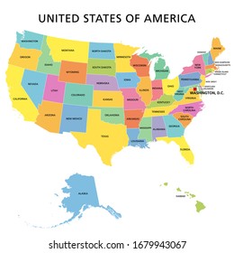
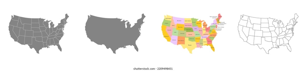
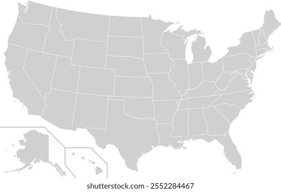
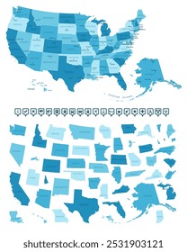
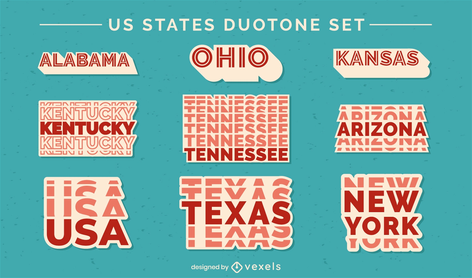
US states duotone lettering set
Choose a folder
All favorites
Create new
Save
US states duotone lettering set
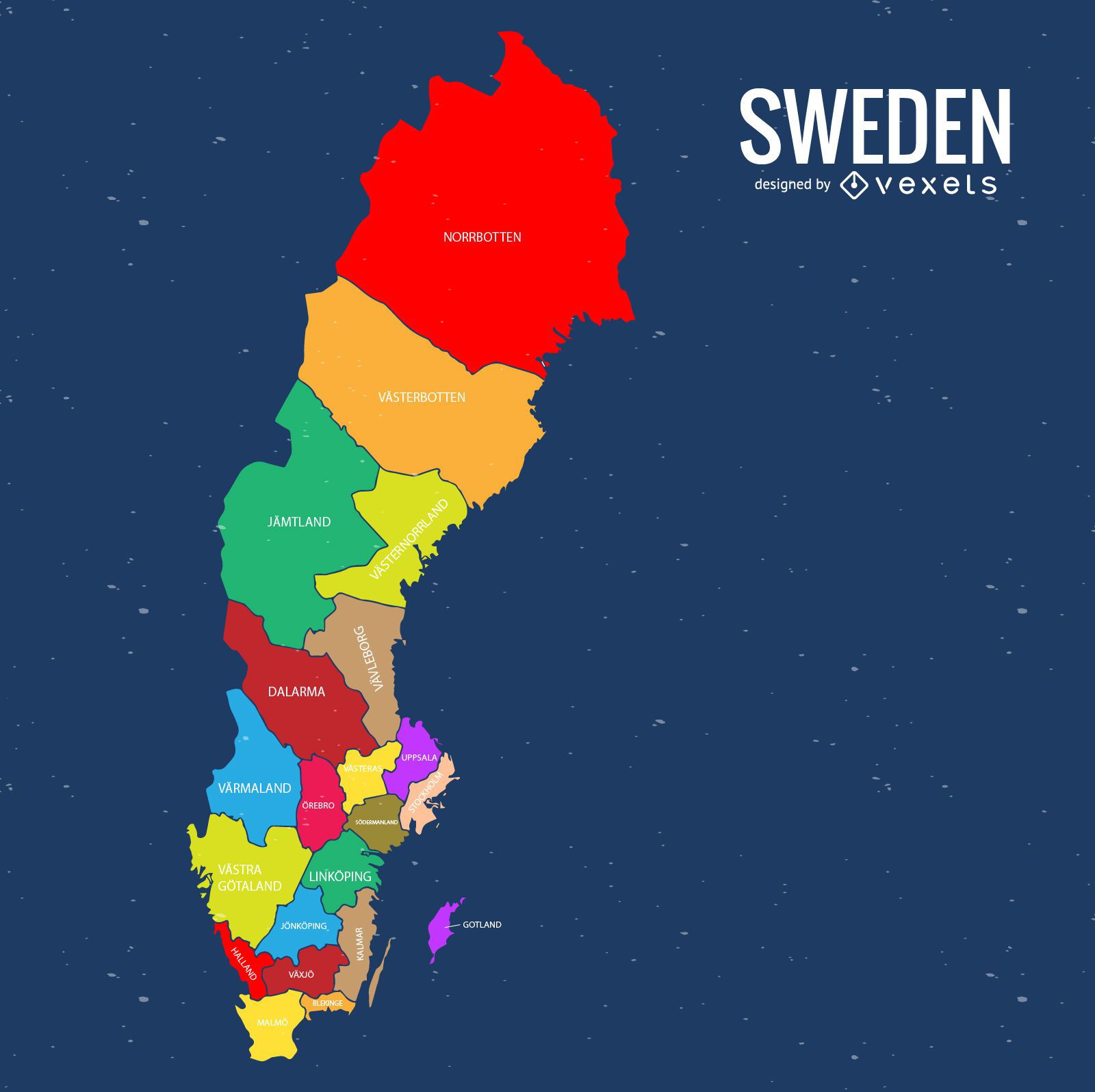
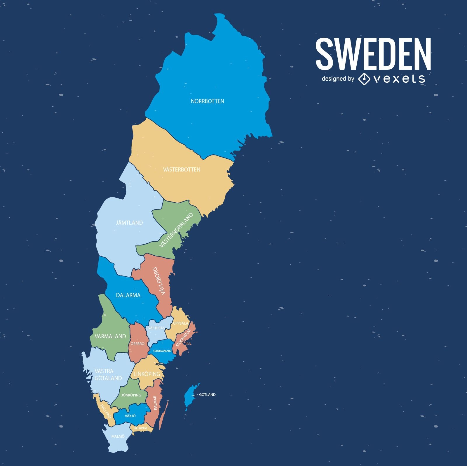
Sweden colored county map
Choose a folder
All favorites
Create new
Save
Sweden colored county map
Premium
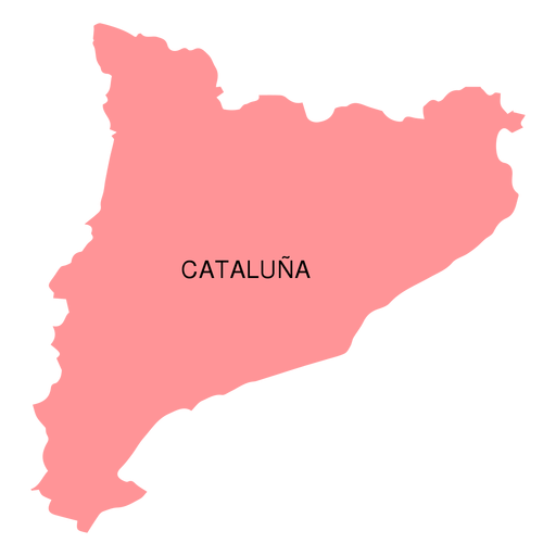
Catalonia autonomous community map PNG Design
Choose a folder
All favorites
Create new
Save
Catalonia autonomous community map PNG Design
Premium
Nagaland state map PNG Design
Choose a folder
All favorites
Create new
Save
Nagaland state map PNG Design
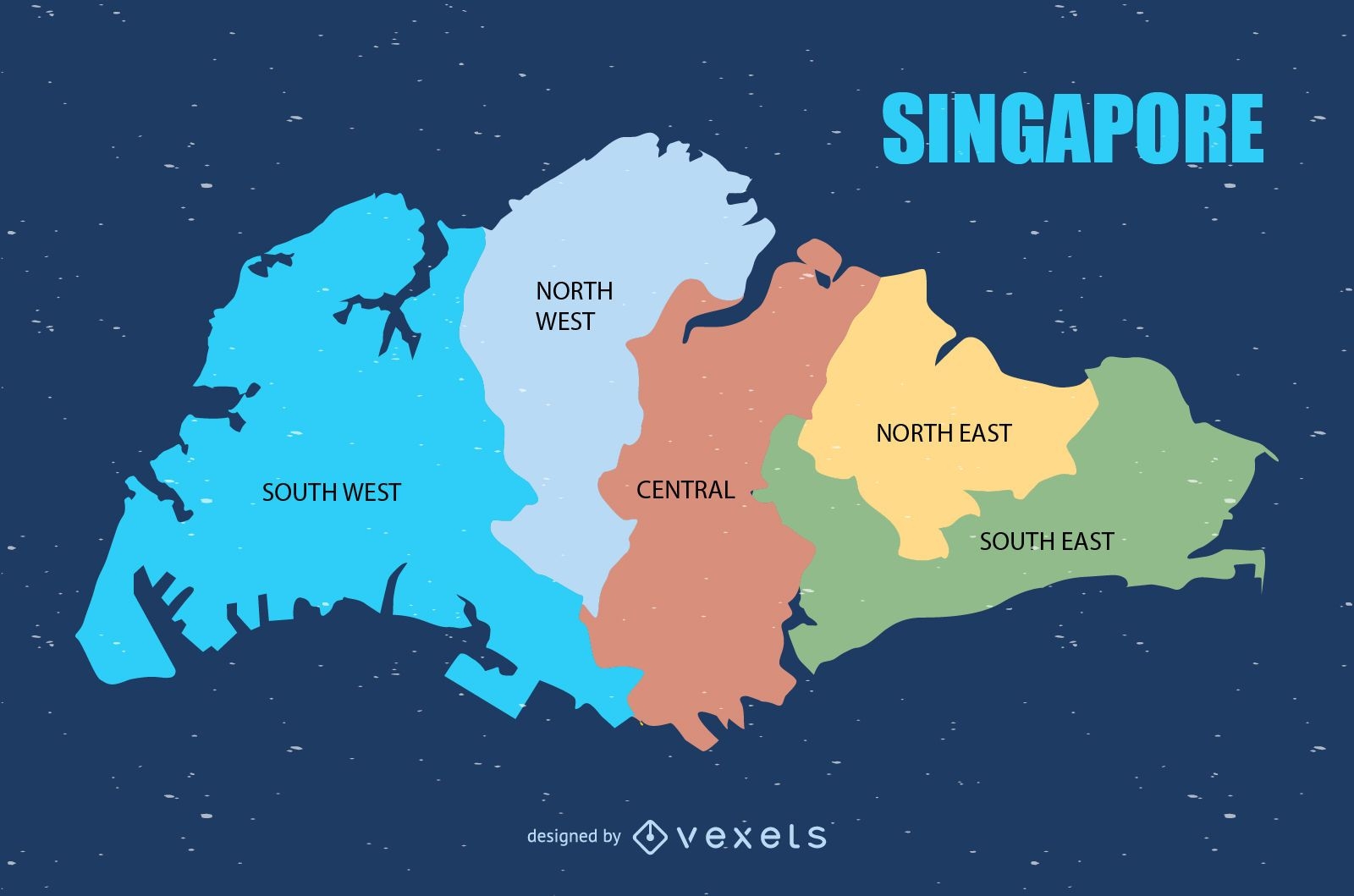
Colored Singapore map design
Choose a folder
All favorites
Create new
Save
Colored Singapore map design
Premium
Bali province map PNG Design
Choose a folder
All favorites
Create new
Save
Bali province map PNG Design
Premium
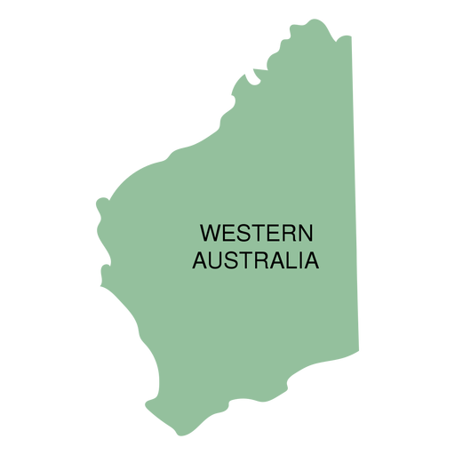
Western australia state map PNG Design
Choose a folder
All favorites
Create new
Save
Western australia state map PNG Design
Premium
Canary islands autonomous community map PNG Design
Choose a folder
All favorites
Create new
Save
Canary islands autonomous community map PNG Design
Premium
Prince edward island province map PNG Design
Choose a folder
All favorites
Create new
Save
Prince edward island province map PNG Design
Premium
Federal district brasilia state map PNG Design
Choose a folder
All favorites
Create new
Save
Federal district brasilia state map PNG Design
Premium
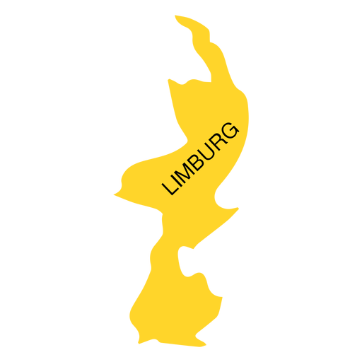
Limburg province map PNG Design
Choose a folder
All favorites
Create new
Save
Limburg province map PNG Design
Premium
Jakarta province map PNG Design
Choose a folder
All favorites
Create new
Save
Jakarta province map PNG Design
Premium
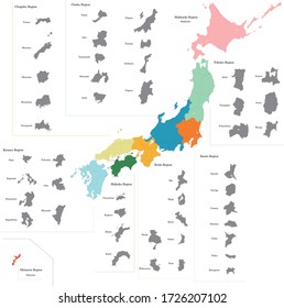
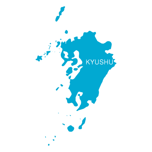
Kyushu region map PNG Design
Choose a folder
All favorites
Create new
Save
Kyushu region map PNG Design
Premium
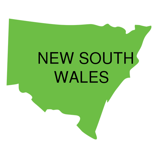
New south wales state map PNG Design
Choose a folder
All favorites
Create new
Save
New south wales state map PNG Design
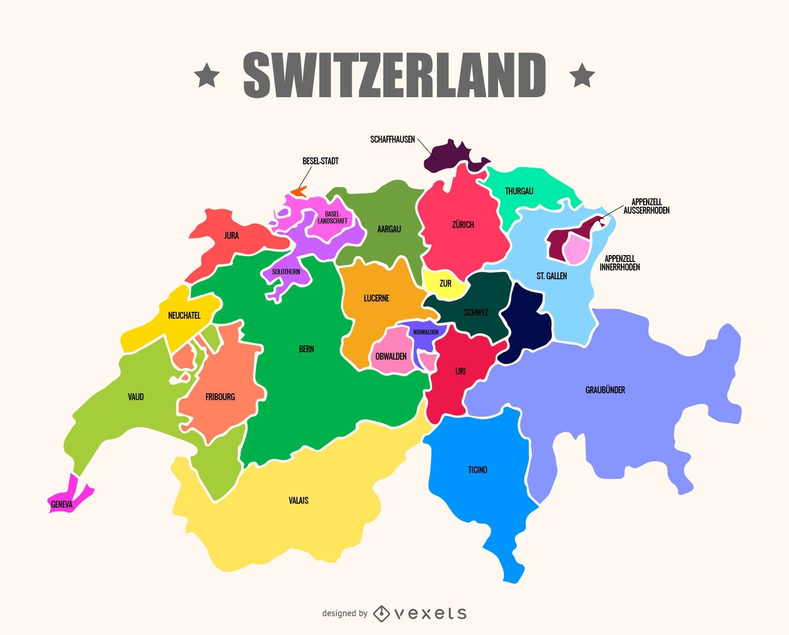
Switzerland map vector
Choose a folder
All favorites
Create new
Save
Switzerland map vector
Premium
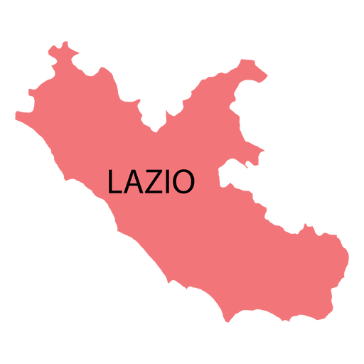
Lazio region map PNG Design
Choose a folder
All favorites
Create new
Save
Lazio region map PNG Design
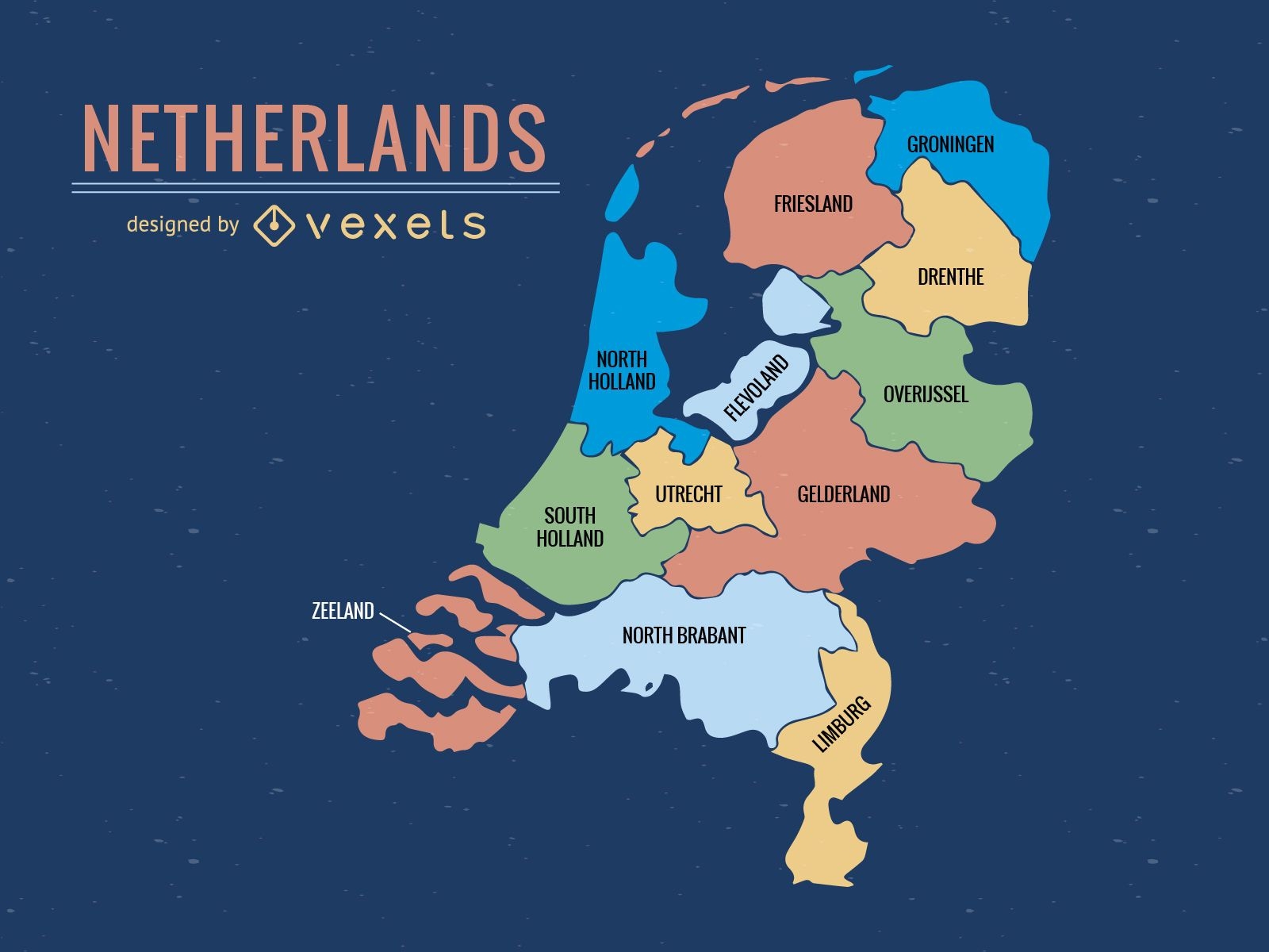
Colorful Netherlands province map
Choose a folder
All favorites
Create new
Save
Colorful Netherlands province map
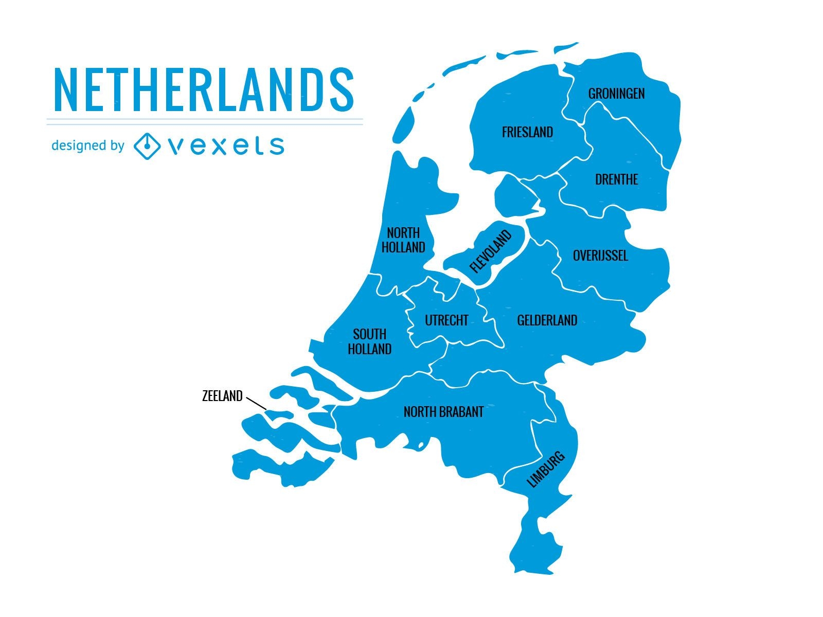
Netherlands provinces map
Choose a folder
All favorites
Create new
Save
Netherlands provinces map
Premium
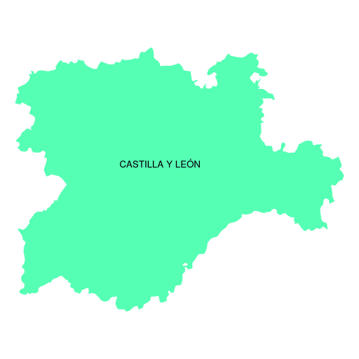
Castile and leon autonomous community map PNG Design
Choose a folder
All favorites
Create new
Save
Castile and leon autonomous community map PNG Design
Premium
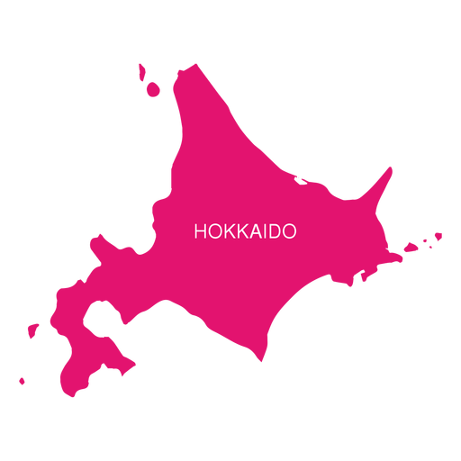
Hokkaido region map PNG Design
Choose a folder
All favorites
Create new
Save
Hokkaido region map PNG Design
Premium
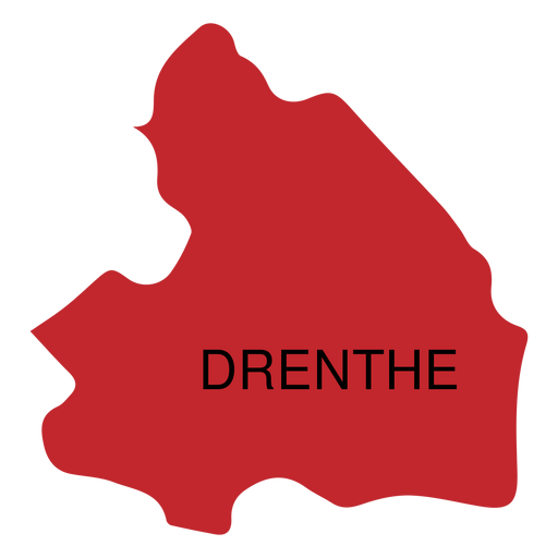
Drenthe province map PNG Design
Choose a folder
All favorites
Create new
Save
Drenthe province map PNG Design
Premium
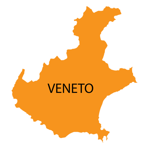
Veneto region map PNG Design
Choose a folder
All favorites
Create new
Save
Veneto region map PNG Design
Premium
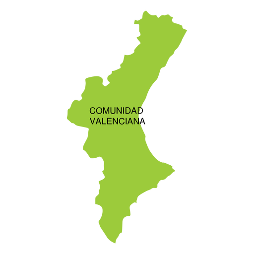
Comunidad valencia autonomous community map PNG Design
Choose a folder
All favorites
Create new
Save
Comunidad valencia autonomous community map PNG Design
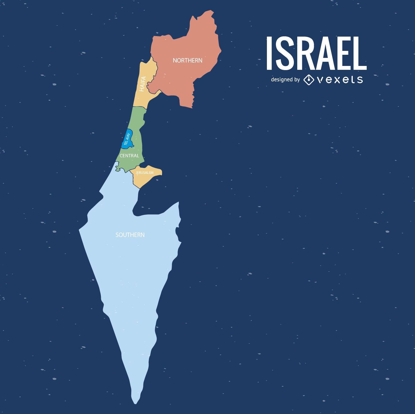
Israel colored districts map
Choose a folder
All favorites
Create new
Save
Israel colored districts map
Premium
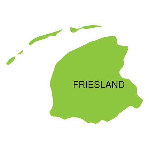
Friesland province map PNG Design
Choose a folder
All favorites
Create new
Save
Friesland province map PNG Design
Premium
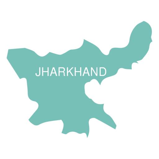
Jharkhand state map PNG Design
Choose a folder
All favorites
Create new
Save
Jharkhand state map PNG Design
Premium
Manipur state map PNG Design
Choose a folder
All favorites
Create new
Save
Manipur state map PNG Design
Premium
Meghalaya state map PNG Design
Choose a folder
All favorites
Create new
Save
Meghalaya state map PNG Design
Premium
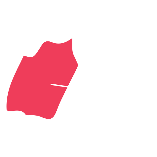
Navarra autonomous community map PNG Design
Choose a folder
All favorites
Create new
Save
Navarra autonomous community map PNG Design
Premium
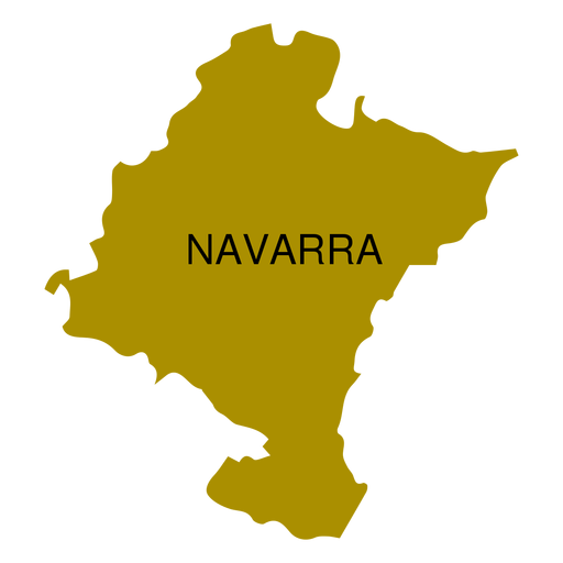
North west district map PNG Design
Choose a folder
All favorites
Create new
Save
North west district map PNG Design
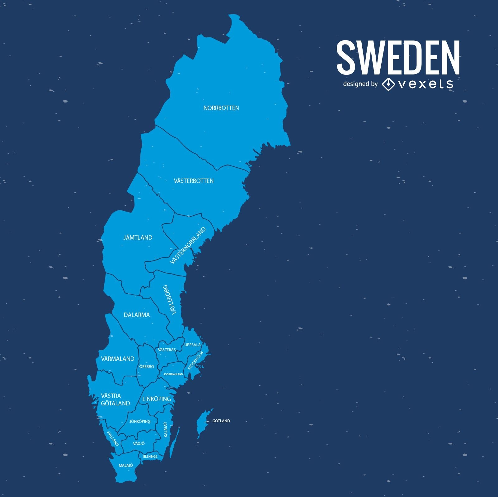
Sweden map vector
Choose a folder
All favorites
Create new
Save
Sweden map vector
Premium
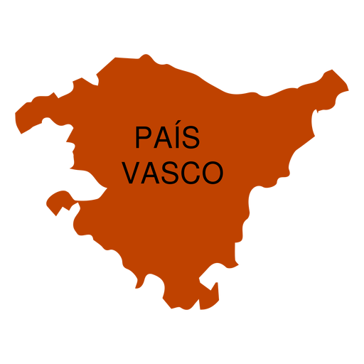
Basque country autonomous community map PNG Design
Choose a folder
All favorites
Create new
Save
Basque country autonomous community map PNG Design
Premium
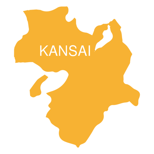
Kansai region map PNG Design
Choose a folder
All favorites
Create new
Save
Kansai region map PNG Design
Sweden county map
Choose a folder
All favorites
Create new
Save
Sweden county map
Premium
Goa state map PNG Design
Choose a folder
All favorites
Create new
Save
Goa state map PNG Design
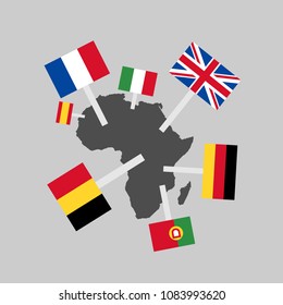
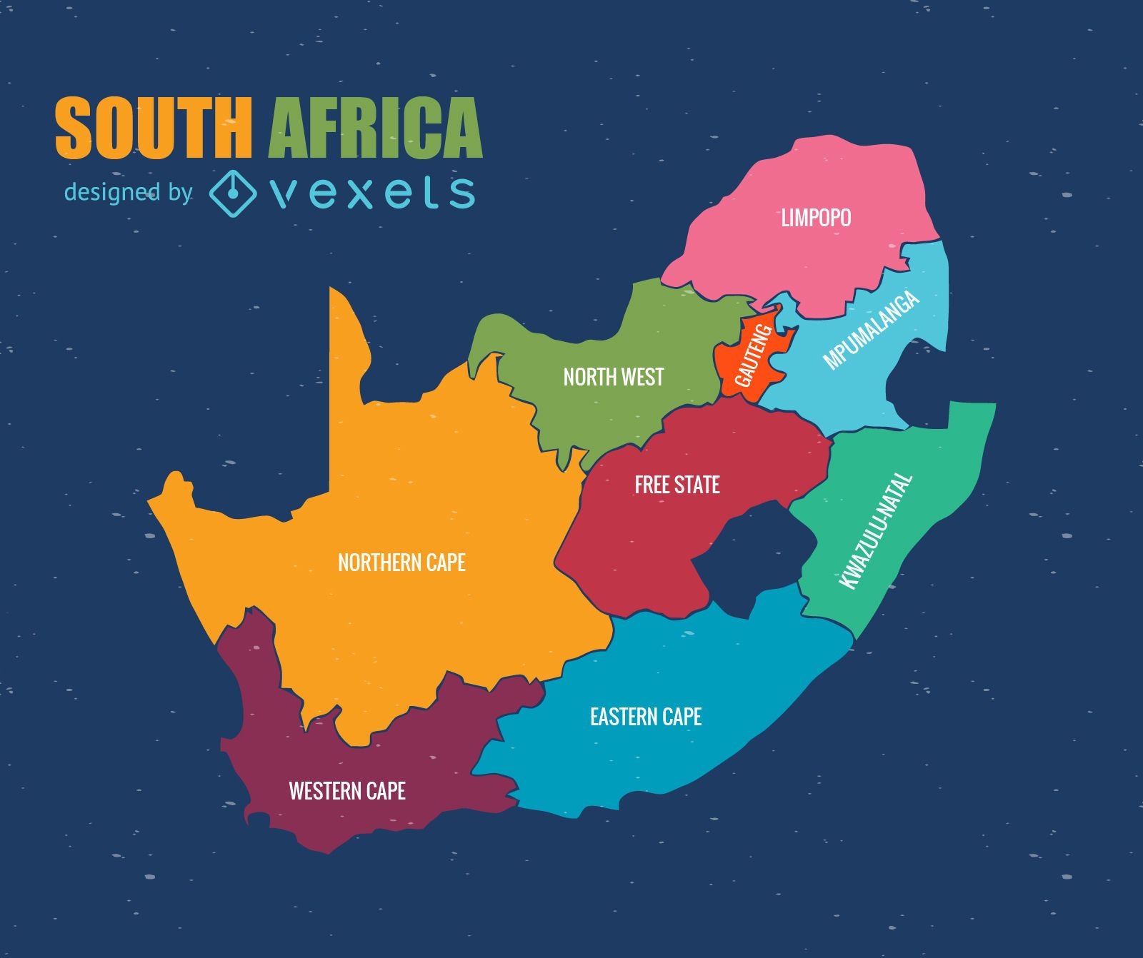
South Africa administrative map vector
Choose a folder
All favorites
Create new
Save
South Africa administrative map vector
Premium
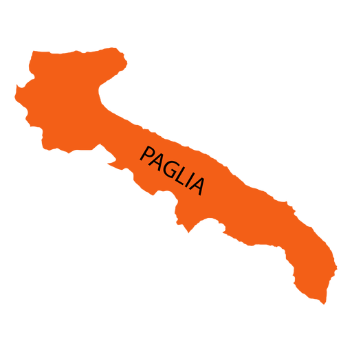
Apulia region map PNG Design
Choose a folder
All favorites
Create new
Save
Apulia region map PNG Design
Premium
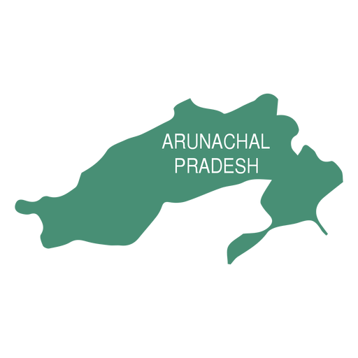
Arunachal pradesh state map PNG Design
Choose a folder
All favorites
Create new
Save
Arunachal pradesh state map PNG Design
Premium
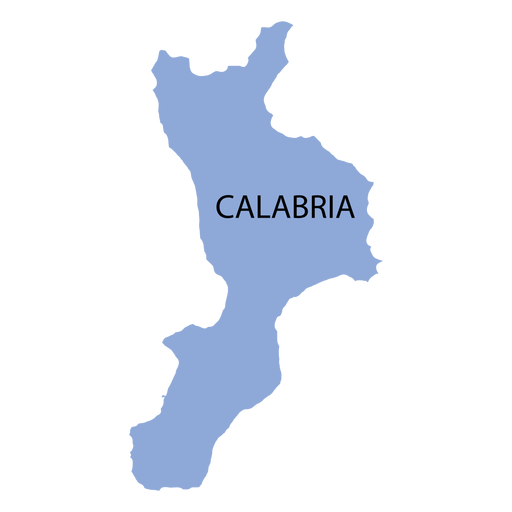
Calabria region map PNG Design
Choose a folder
All favorites
Create new
Save
Calabria region map PNG Design
Premium
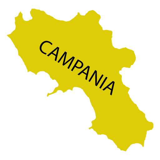
Campania region map PNG Design
Choose a folder
All favorites
Create new
Save
Campania region map PNG Design
Premium
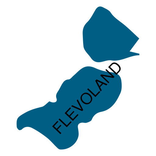
Flevoland province map PNG Design
Choose a folder
All favorites
Create new
Save
Flevoland province map PNG Design
Premium
West java province map PNG Design
Choose a folder
All favorites
Create new
Save
West java province map PNG Design
Premium
Balearic islands autonomous community map PNG Design
Choose a folder
All favorites
Create new
Save
Balearic islands autonomous community map PNG Design
Premium
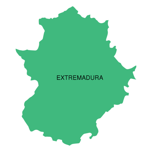
Extremadura autonomous community map PNG Design
Choose a folder
All favorites
Create new
Save
Extremadura autonomous community map PNG Design
Premium
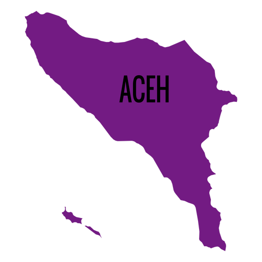
Aceh province map PNG Design
Choose a folder
All favorites
Create new
Save
Aceh province map PNG Design
Premium
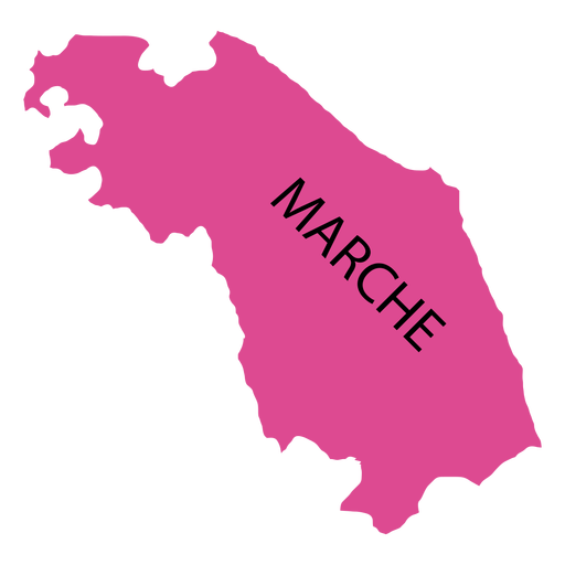
Marches region map PNG Design
Choose a folder
All favorites
Create new
Save
Marches region map PNG Design
Premium
South australia state map PNG Design
Choose a folder
All favorites
Create new
Save
South australia state map PNG Design
Boost Your Business
With The Leading Graphic Platform For Merch.
SEE PLANS
Next
of 8
prev page
next page