Design Library
New Merch Designs
T-Shirts
Vectors
Trending Merch Designs
PNGs & SVGs
Mockups
T-Shirt PSD Templates
Explore Designs
KDP Designs
Posters
Mugs
Phone Cases
Tote Bags
Pillows
Design Tools
Merch Designer
New!
Mockup Generator
AI Design Generator
Image Vectorizer
Quote Generator
T-Shirt Maker (Old)
Resources
Merch Digest
Blog
Help Center
Learn About Merch
Feedback
Corporate Solutions
Enterprise
API Access
Design Studio
Bulk Design Production
Pricing
Loading...
Sign Up
Login
All
territory
Design Library
New Merch Designs
T-Shirts
Vectors
Trending Merch Designs
PNGs & SVGs
Mockups
T-Shirt PSD Templates
Explore Designs
KDP Designs
Posters
Mugs
Phone Cases
Tote Bags
Pillows
Design Tools
Merch Designer
New!
Mockup Generator
AI Design Generator
Image Vectorizer
Quote Generator
T-Shirt Maker (Old)
Resources
Merch Digest
Blog
Help Center
Learn About Merch
Feedback
Corporate Solutions
Enterprise
API Access
Design Studio
Bulk Design Production
PLANS
All
territory
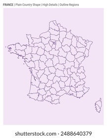
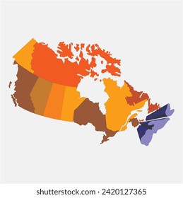
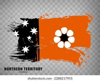
391 territory designs graphics for t-shirt and print on demand merch
Download territory t-shirt designs and other merch graphics like book covers, phone cases, tote bags and more.
Related:
french territory
,
turkish territory
,
polish territory
Sort by
Most relevant
Sponsored results by
Get 15% off with code: VEXELS15
Show more
Premium
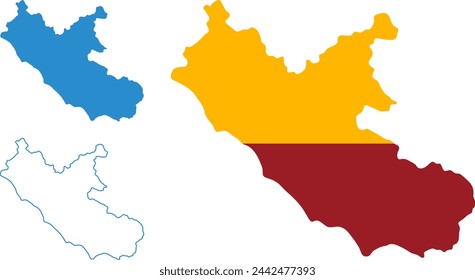
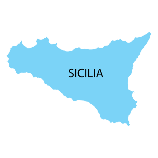
Sicily region map PNG Design
Choose a folder
All favorites
Create new
Save
Sicily region map PNG Design
Premium
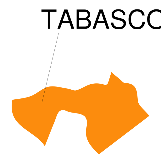
Tabasco state map PNG Design
Choose a folder
All favorites
Create new
Save
Tabasco state map PNG Design
Premium
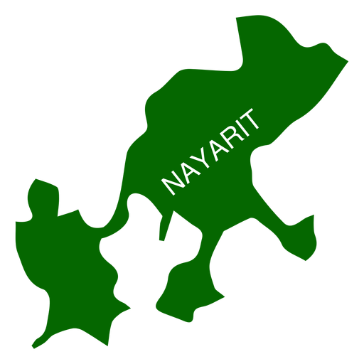
Nayarit state map PNG Design
Choose a folder
All favorites
Create new
Save
Nayarit state map PNG Design
Premium
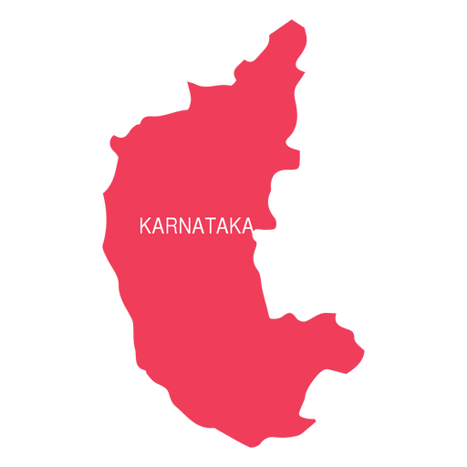
Karnataka state map PNG Design
Choose a folder
All favorites
Create new
Save
Karnataka state map PNG Design
Premium
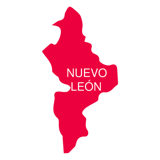
Nuevo leon state map PNG Design
Choose a folder
All favorites
Create new
Save
Nuevo leon state map PNG Design
Premium
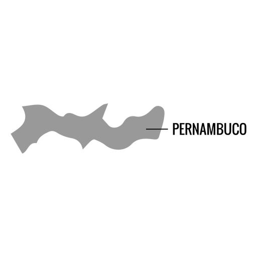
Pernambuco state map PNG Design
Choose a folder
All favorites
Create new
Save
Pernambuco state map PNG Design
Premium
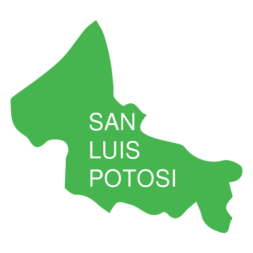
San luis potosi state map PNG Design
Choose a folder
All favorites
Create new
Save
San luis potosi state map PNG Design
Premium
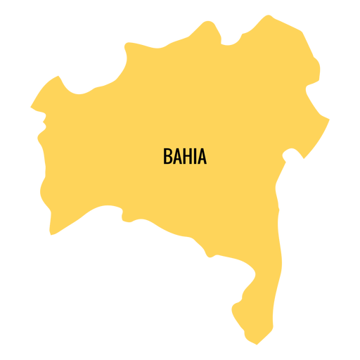
Bahia state map PNG Design
Choose a folder
All favorites
Create new
Save
Bahia state map PNG Design
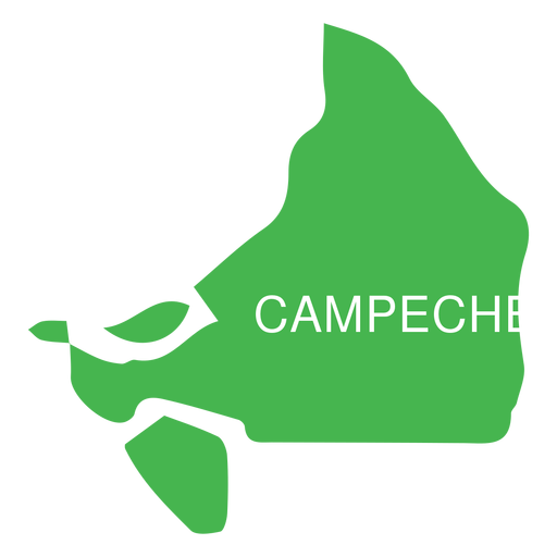
Premium
Campeche state map PNG Design
Choose a folder
All favorites
Create new
Save
Campeche state map PNG Design
Premium
Colima state map PNG Design
Choose a folder
All favorites
Create new
Save
Colima state map PNG Design
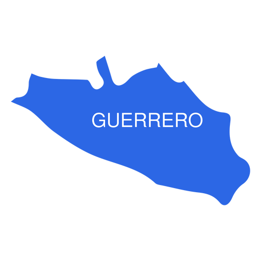
Premium
Guerrero state map PNG Design
Choose a folder
All favorites
Create new
Save
Guerrero state map PNG Design
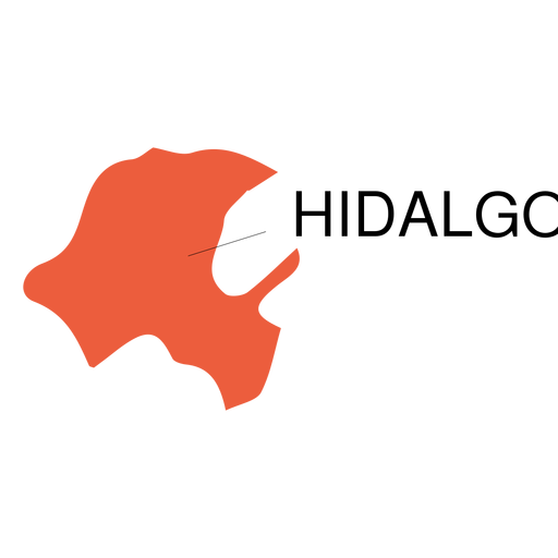
Premium
Hidalgo state map PNG Design
Choose a folder
All favorites
Create new
Save
Hidalgo state map PNG Design
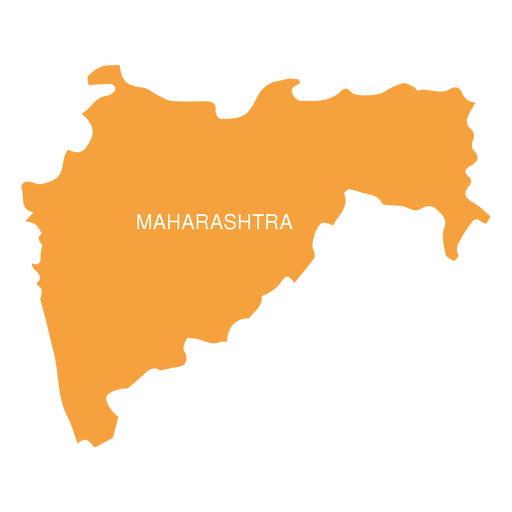
Premium
Maharashtra state map PNG Design
Choose a folder
All favorites
Create new
Save
Maharashtra state map PNG Design
Premium
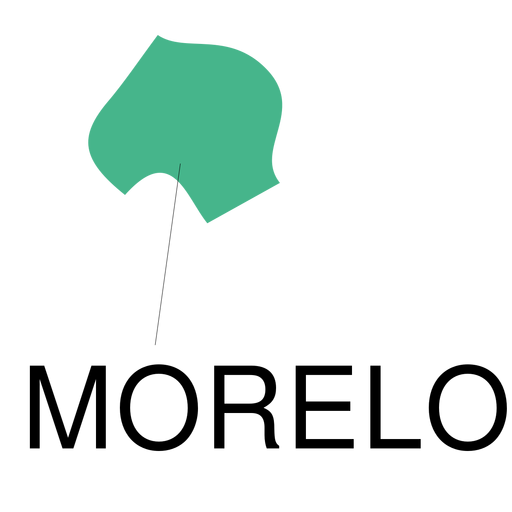
Morelos state map PNG Design
Choose a folder
All favorites
Create new
Save
Morelos state map PNG Design
Premium
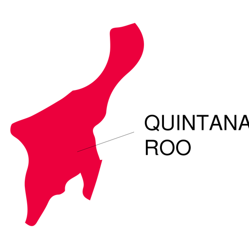
Quintana roo state map PNG Design
Choose a folder
All favorites
Create new
Save
Quintana roo state map PNG Design
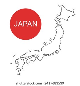
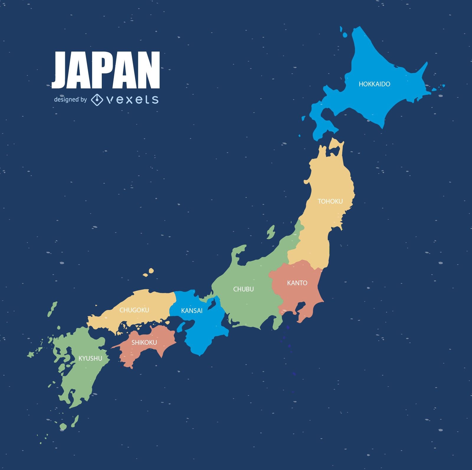
Colorful Japan map
Choose a folder
All favorites
Create new
Save
Colorful Japan map
Premium
Aguascalientes state map PNG Design
Choose a folder
All favorites
Create new
Save
Aguascalientes state map PNG Design
Premium
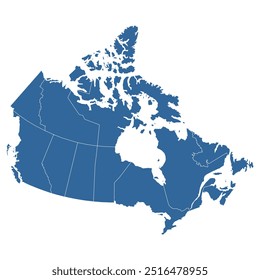
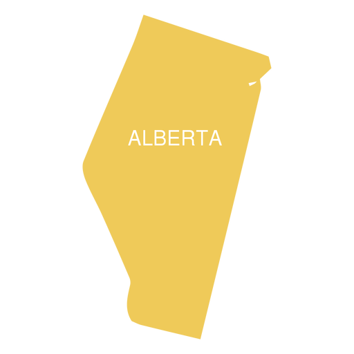
Alberta province map PNG Design
Choose a folder
All favorites
Create new
Save
Alberta province map PNG Design
Premium
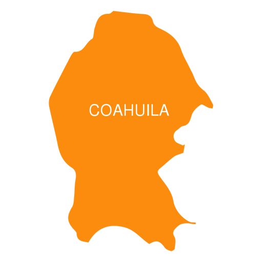
Coahuila de zaragoza state map PNG Design
Choose a folder
All favorites
Create new
Save
Coahuila de zaragoza state map PNG Design
Premium
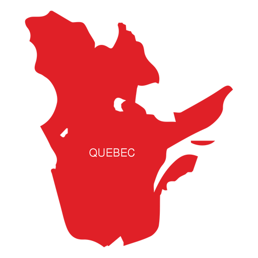
Quebec province map PNG Design
Choose a folder
All favorites
Create new
Save
Quebec province map PNG Design
Premium
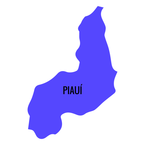
Piaui state map PNG Design
Choose a folder
All favorites
Create new
Save
Piaui state map PNG Design
Premium
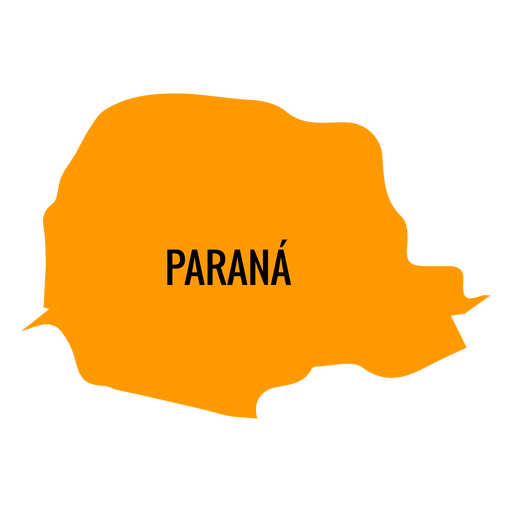
Parana state map PNG Design
Choose a folder
All favorites
Create new
Save
Parana state map PNG Design
Premium
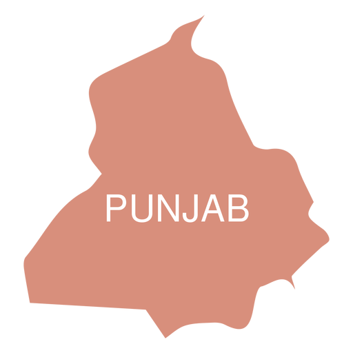
Punjab state map PNG Design
Choose a folder
All favorites
Create new
Save
Punjab state map PNG Design
Premium
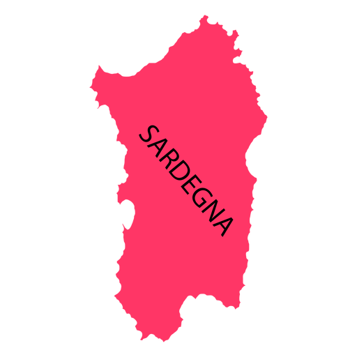
Sardinia region map PNG Design
Choose a folder
All favorites
Create new
Save
Sardinia region map PNG Design
Premium
Jalisko state map PNG Design
Choose a folder
All favorites
Create new
Save
Jalisko state map PNG Design
Premium
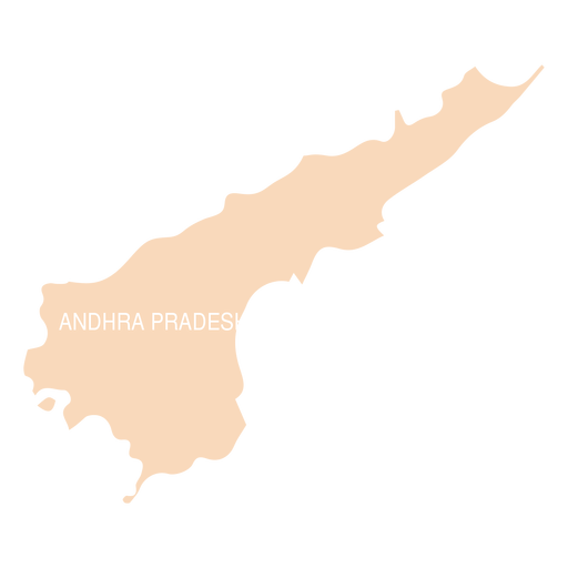
Andhra pradesh state map PNG Design
Choose a folder
All favorites
Create new
Save
Andhra pradesh state map PNG Design
Premium
Manitoba province map PNG Design
Choose a folder
All favorites
Create new
Save
Manitoba province map PNG Design
Premium
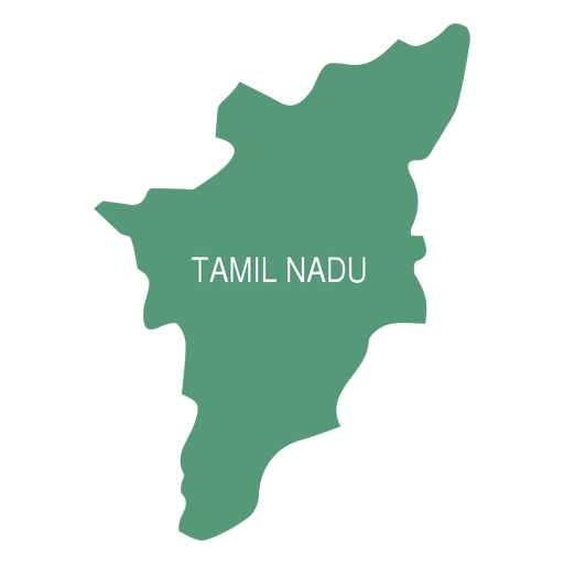
Tamil nadu state map PNG Design
Choose a folder
All favorites
Create new
Save
Tamil nadu state map PNG Design
Premium
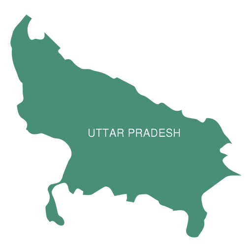
Uttar pradesh state map PNG Design
Choose a folder
All favorites
Create new
Save
Uttar pradesh state map PNG Design
Premium
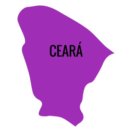
Ceara state map PNG Design
Choose a folder
All favorites
Create new
Save
Ceara state map PNG Design
Premium
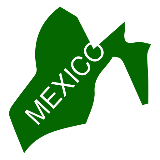
Mexico state map PNG Design
Choose a folder
All favorites
Create new
Save
Mexico state map PNG Design
Premium
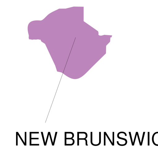
New brunswick province map PNG Design
Choose a folder
All favorites
Create new
Save
New brunswick province map PNG Design
Premium
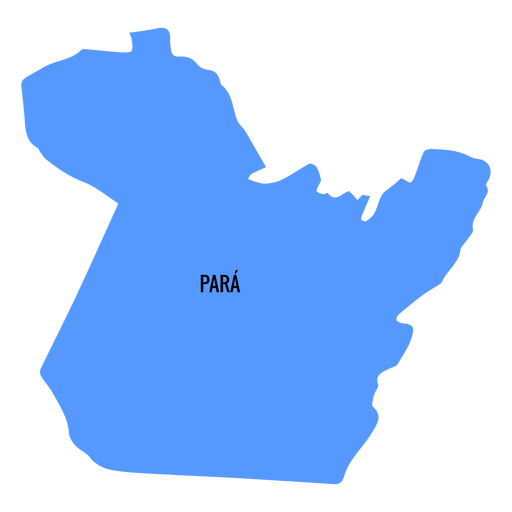
Para state map PNG Design
Choose a folder
All favorites
Create new
Save
Para state map PNG Design
Premium
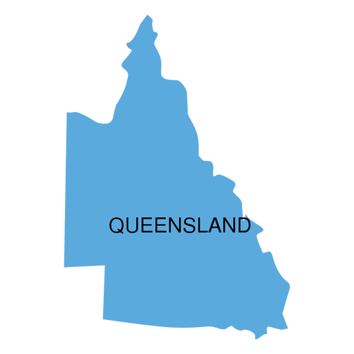
Queensland state map PNG Design
Choose a folder
All favorites
Create new
Save
Queensland state map PNG Design
Premium
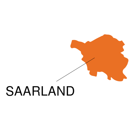
Saarland state map PNG Design
Choose a folder
All favorites
Create new
Save
Saarland state map PNG Design
Premium
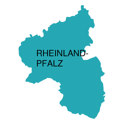
Rhineland palatinate state map PNG Design
Choose a folder
All favorites
Create new
Save
Rhineland palatinate state map PNG Design
Premium
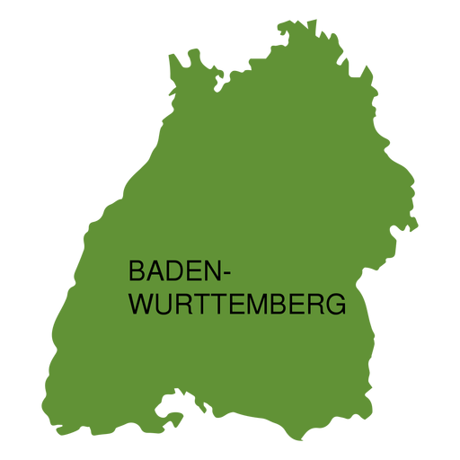
Baden wurttemberg state map PNG Design
Choose a folder
All favorites
Create new
Save
Baden wurttemberg state map PNG Design
Premium
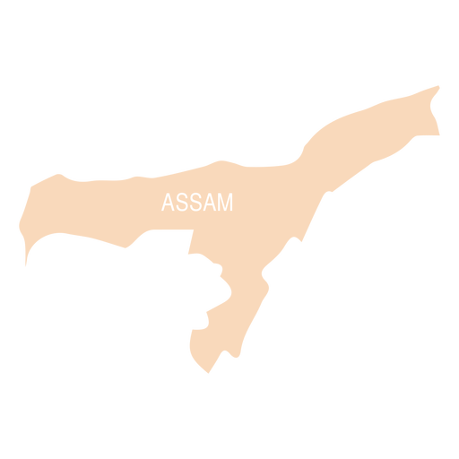
Assam state map PNG Design
Choose a folder
All favorites
Create new
Save
Assam state map PNG Design
Premium
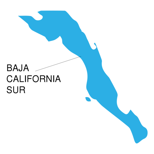
Baja california sur state map PNG Design
Choose a folder
All favorites
Create new
Save
Baja california sur state map PNG Design
Premium
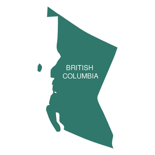
British columbia province map PNG Design
Choose a folder
All favorites
Create new
Save
British columbia province map PNG Design
Premium
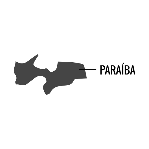
Paraiba state map PNG Design
Choose a folder
All favorites
Create new
Save
Paraiba state map PNG Design
Premium
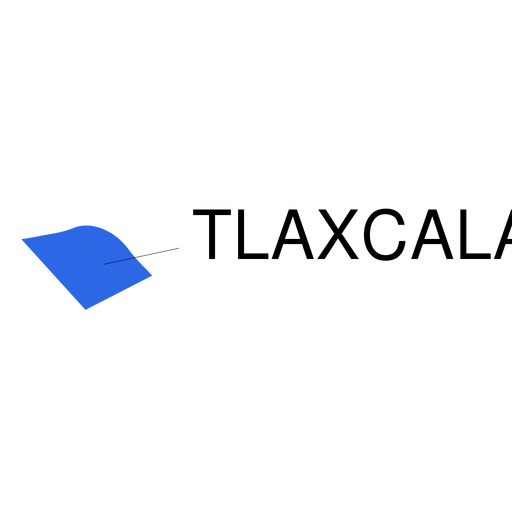
Tlaxcala state map PNG Design
Choose a folder
All favorites
Create new
Save
Tlaxcala state map PNG Design
Premium
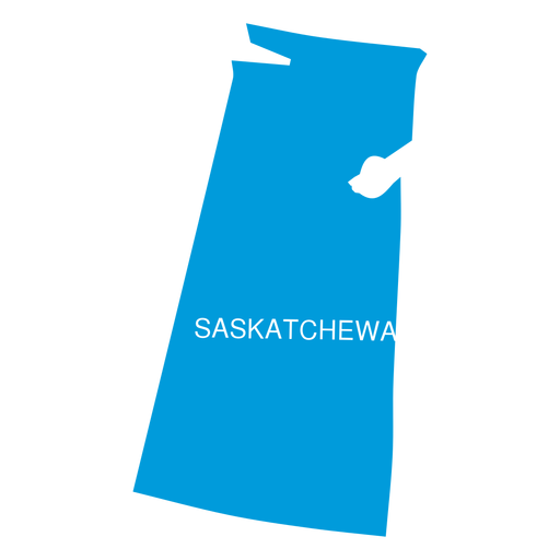
Saskatchewan province map PNG Design
Choose a folder
All favorites
Create new
Save
Saskatchewan province map PNG Design
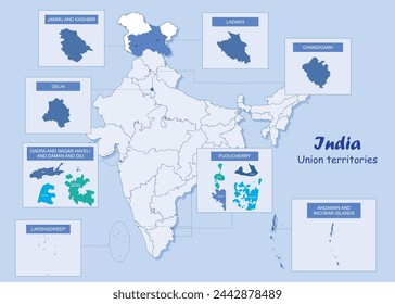
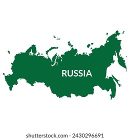
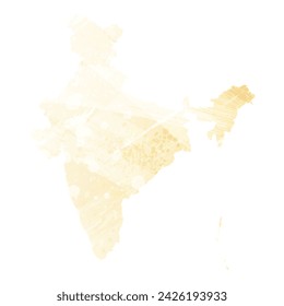
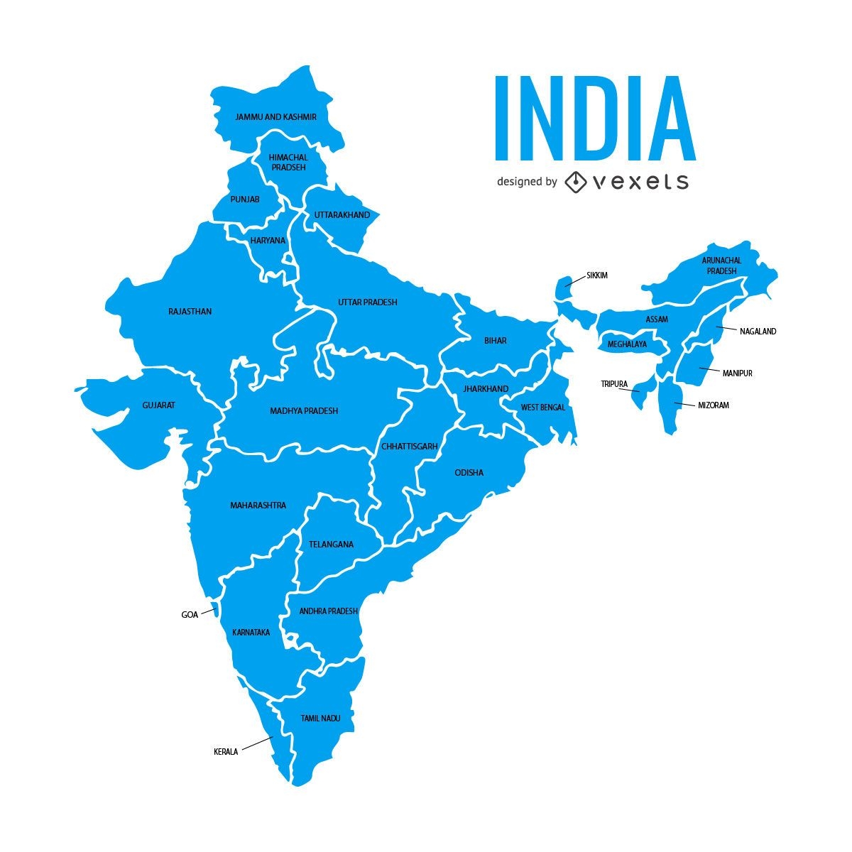
India states map
Choose a folder
All favorites
Create new
Save
India states map
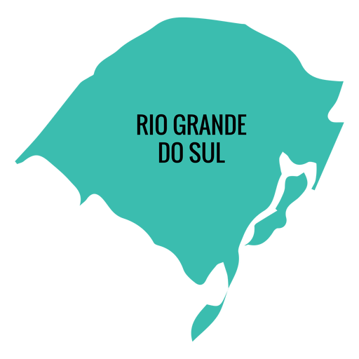
Premium
Rio grande do sul state map PNG Design
Choose a folder
All favorites
Create new
Save
Rio grande do sul state map PNG Design
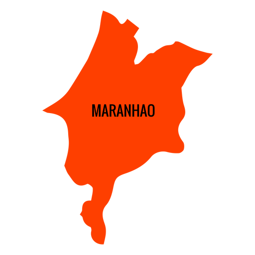
Premium
Maranhao state map PNG Design
Choose a folder
All favorites
Create new
Save
Maranhao state map PNG Design
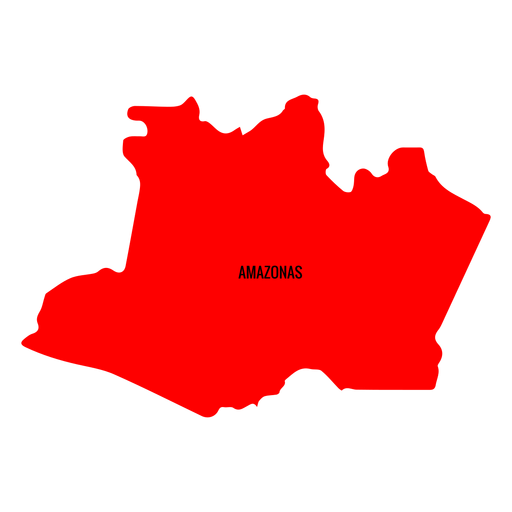
Premium
Amazonas state map PNG Design
Choose a folder
All favorites
Create new
Save
Amazonas state map PNG Design
Premium
Alagoas state map PNG Design
Choose a folder
All favorites
Create new
Save
Alagoas state map PNG Design
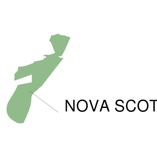
Premium
Nova scotia province map PNG Design
Choose a folder
All favorites
Create new
Save
Nova scotia province map PNG Design
Premium
Sergipe state map PNG Design
Choose a folder
All favorites
Create new
Save
Sergipe state map PNG Design
Boost Your Business
With The Leading Graphic Platform For Merch.
SEE PLANS
Next
of 8
prev page
next page