Design Library
New Merch Designs
T-Shirts
Vectors
Trending Merch Designs
PNGs & SVGs
Mockups
T-Shirt PSD Templates
Explore Designs
KDP Designs
Posters
Mugs
Phone Cases
Tote Bags
Pillows
Design Tools
Merch Designer
New!
Mockup Generator
AI Design Generator
Image Vectorizer
Quote Generator
T-Shirt Maker (Old)
Resources
Merch Digest
Blog
Help Center
Learn About Merch
Feedback
Corporate Solutions
Enterprise
API Access
Design Studio
Bulk Design Production
Pricing
Loading...
Sign Up
Login
All
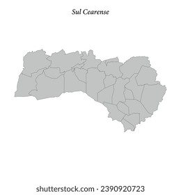
sul
Design Library
New Merch Designs
T-Shirts
Vectors
Trending Merch Designs
PNGs & SVGs
Mockups
T-Shirt PSD Templates
Explore Designs
KDP Designs
Posters
Mugs
Phone Cases
Tote Bags
Pillows
Design Tools
Merch Designer
New!
Mockup Generator
AI Design Generator
Image Vectorizer
Quote Generator
T-Shirt Maker (Old)
Resources
Merch Digest
Blog
Help Center
Learn About Merch
Feedback
Corporate Solutions
Enterprise
API Access
Design Studio
Bulk Design Production
PLANS
All
sul
383 sul designs graphics for t-shirt and print on demand merch
Download sul t-shirt designs and other merch graphics like book covers, phone cases, tote bags and more.
Related:
the sultan ahmet mosque
,
sultry
,
sultan
Sort by
Most relevant
Sponsored results by
Get 15% off with code: VEXELS15
Show more
Cardinal points flat icon PNG Design
Choose a folder
All favorites
Create new
Save
Cardinal points flat icon PNG Design
Premium
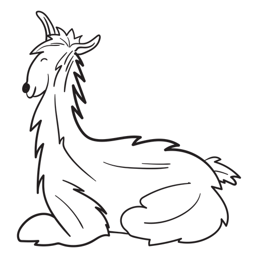
Llama animal silhouette PNG Design
Choose a folder
All favorites
Create new
Save
Llama animal silhouette PNG Design
Premium
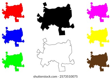
Daejeon metropolitan city map PNG Design
Choose a folder
All favorites
Create new
Save
Daejeon metropolitan city map PNG Design
Premium
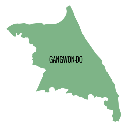
Gangwon do province map PNG Design
Choose a folder
All favorites
Create new
Save
Gangwon do province map PNG Design
Premium
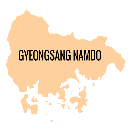
Gyeongsangnam do province map PNG Design
Choose a folder
All favorites
Create new
Save
Gyeongsangnam do province map PNG Design
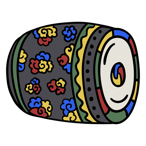
Korean colored drums PNG Design
Choose a folder
All favorites
Create new
Save
Korean colored drums PNG Design
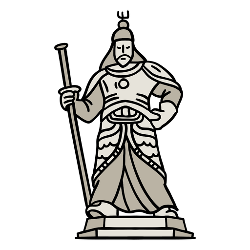
Korean statue stroke PNG Design
Choose a folder
All favorites
Create new
Save
Korean statue stroke PNG Design
Premium
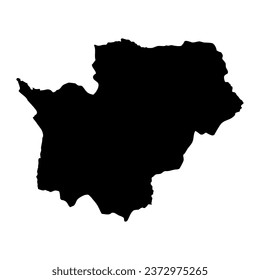
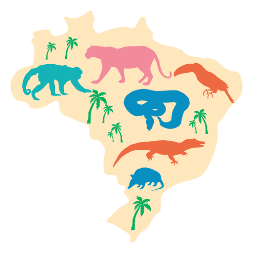
Brazil silhouette map PNG Design
Choose a folder
All favorites
Create new
Save
Brazil silhouette map PNG Design
Premium
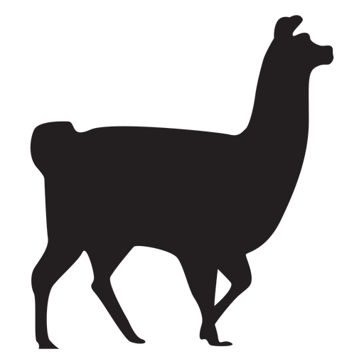
Isolated llama walking silhouette PNG Design
Choose a folder
All favorites
Create new
Save
Isolated llama walking silhouette PNG Design
Premium
Llama sitting silhouette PNG Design
Choose a folder
All favorites
Create new
Save
Llama sitting silhouette PNG Design
Premium
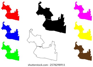
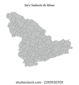
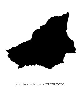
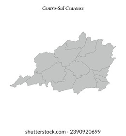
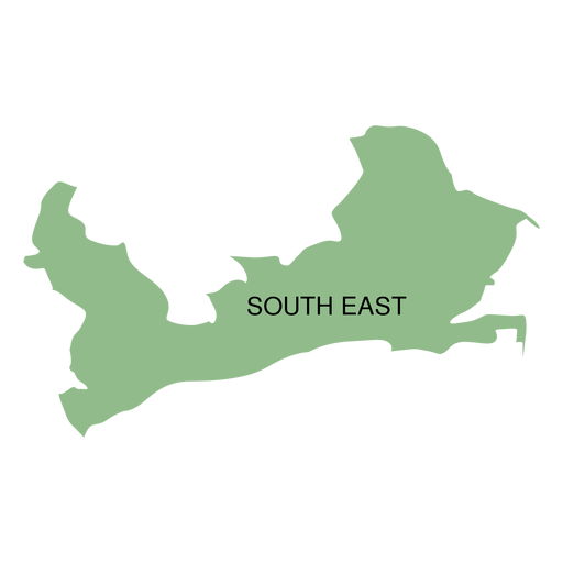
South east district map PNG Design
Choose a folder
All favorites
Create new
Save
South east district map PNG Design
Premium
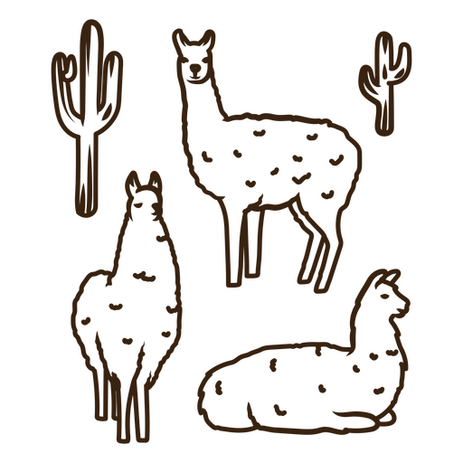
Four llamas and cactus PNG Design
Choose a folder
All favorites
Create new
Save
Four llamas and cactus PNG Design
Traditional compass label PNG Design
Choose a folder
All favorites
Create new
Save
Traditional compass label PNG Design
Compass tool with leaves PNG Design
Choose a folder
All favorites
Create new
Save
Compass tool with leaves PNG Design
Travel compass stroke PNG Design
Choose a folder
All favorites
Create new
Save
Travel compass stroke PNG Design
Korean architecture element PNG Design
Choose a folder
All favorites
Create new
Save
Korean architecture element PNG Design
Premium
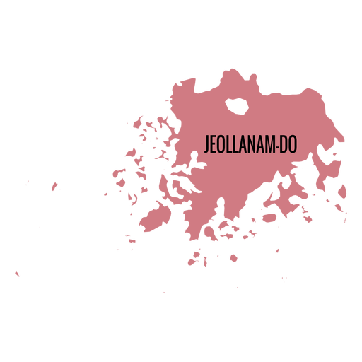
Jeollanam do province map PNG Design
Choose a folder
All favorites
Create new
Save
Jeollanam do province map PNG Design
Premium
Windrose arrow west nord south east flat PNG Design
Choose a folder
All favorites
Create new
Save
Windrose arrow west nord south east flat PNG Design
Premium
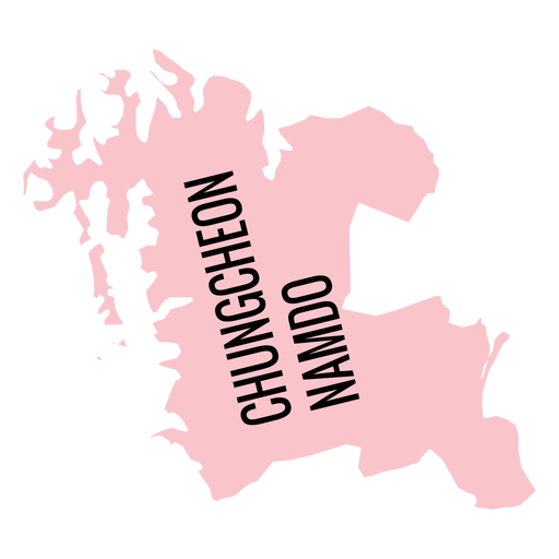
Chungcheongnam do province map PNG Design
Choose a folder
All favorites
Create new
Save
Chungcheongnam do province map PNG Design
Semi flat mate drink PNG Design
Choose a folder
All favorites
Create new
Save
Semi flat mate drink PNG Design
Chilean huemul monochrome PNG Design
Choose a folder
All favorites
Create new
Save
Chilean huemul monochrome PNG Design
Korean architecture stroke PNG Design
Choose a folder
All favorites
Create new
Save
Korean architecture stroke PNG Design
Korean statue element PNG Design
Choose a folder
All favorites
Create new
Save
Korean statue element PNG Design
Korean taekwondo stroke PNG Design
Choose a folder
All favorites
Create new
Save
Korean taekwondo stroke PNG Design
Premium
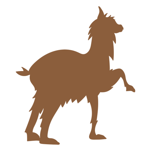
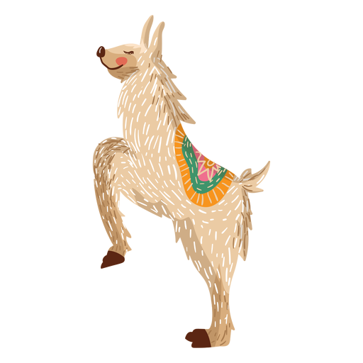
Llama on hind legs illustration PNG Design
Choose a folder
All favorites
Create new
Save
Llama on hind legs illustration PNG Design
Compass hand drawn element PNG Design
Choose a folder
All favorites
Create new
Save
Compass hand drawn element PNG Design
Premium
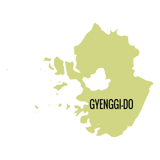
Gyeonggi do province map PNG Design
Choose a folder
All favorites
Create new
Save
Gyeonggi do province map PNG Design
Premium
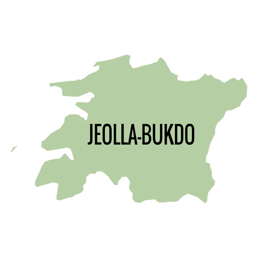
Jeollabuk do province map PNG Design
Choose a folder
All favorites
Create new
Save
Jeollabuk do province map PNG Design
Argentina ornament badge PNG Design
Choose a folder
All favorites
Create new
Save
Argentina ornament badge PNG Design
Korean fan element PNG Design
Choose a folder
All favorites
Create new
Save
Korean fan element PNG Design
Premium
Windrose arrow west nord south east silhouette PNG Design
Choose a folder
All favorites
Create new
Save
Windrose arrow west nord south east silhouette PNG Design
Premium
Llama on hind legs silhouette PNG Design
Choose a folder
All favorites
Create new
Save
Llama on hind legs silhouette PNG Design
Premium
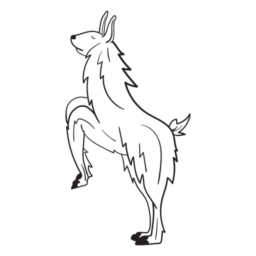
Llama on hind legs stroke PNG Design
Choose a folder
All favorites
Create new
Save
Llama on hind legs stroke PNG Design
Yerba mate drink package PNG Design
Choose a folder
All favorites
Create new
Save
Yerba mate drink package PNG Design
Premium
Brazil map illustration PNG Design
Choose a folder
All favorites
Create new
Save
Brazil map illustration PNG Design
Premium
Isolated llama lying silhouette PNG Design
Choose a folder
All favorites
Create new
Save
Isolated llama lying silhouette PNG Design
Premium
Daegu metropolitan city map PNG Design
Choose a folder
All favorites
Create new
Save
Daegu metropolitan city map PNG Design
Travel compass cut out PNG Design
Choose a folder
All favorites
Create new
Save
Travel compass cut out PNG Design
Travel compass label ribbon PNG Design
Choose a folder
All favorites
Create new
Save
Travel compass label ribbon PNG Design
Sailing compass stroke PNG Design
Choose a folder
All favorites
Create new
Save
Sailing compass stroke PNG Design
Korean bonsai stroke PNG Design
Choose a folder
All favorites
Create new
Save
Korean bonsai stroke PNG Design
Premium
Windrose arrow east nord south west flat PNG Design
Choose a folder
All favorites
Create new
Save
Windrose arrow east nord south west flat PNG Design
Premium
Llama lying stroke PNG Design
Choose a folder
All favorites
Create new
Save
Llama lying stroke PNG Design
Premium
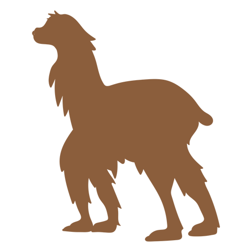
Llama standing silhouette PNG Design
Choose a folder
All favorites
Create new
Save
Llama standing silhouette PNG Design
Premium
Llama walking silhouette PNG Design
Choose a folder
All favorites
Create new
Save
Llama walking silhouette PNG Design
Premium
Brazil landmarks silhouette PNG Design
Choose a folder
All favorites
Create new
Save
Brazil landmarks silhouette PNG Design
Mate and thermic bottle set semi flat PNG Design
Choose a folder
All favorites
Create new
Save
Mate and thermic bottle set semi flat PNG Design
Korean stroke drums PNG Design
Choose a folder
All favorites
Create new
Save
Korean stroke drums PNG Design
Premium
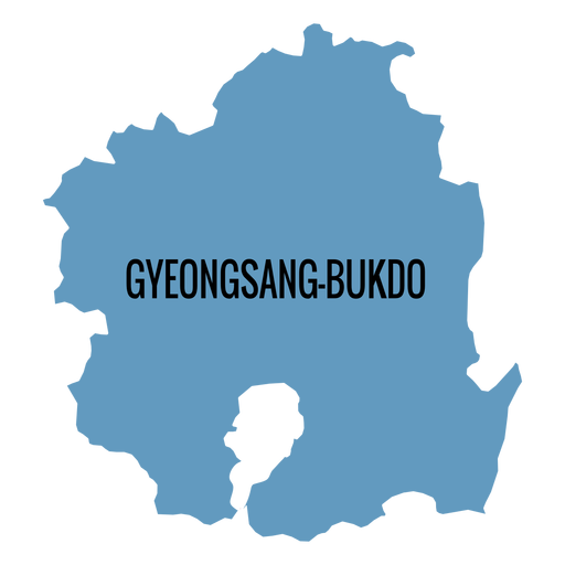
Gyeongsangbuk do province map PNG Design
Choose a folder
All favorites
Create new
Save
Gyeongsangbuk do province map PNG Design
Premium
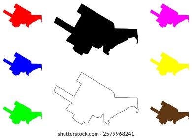
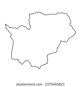
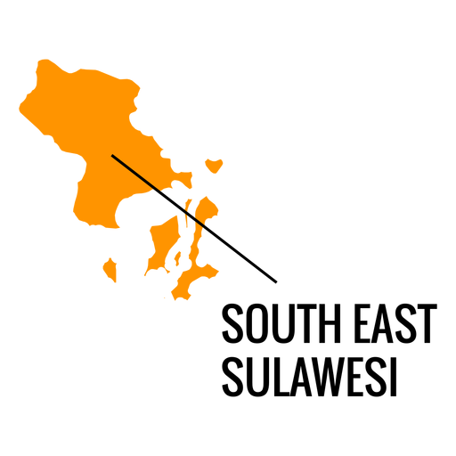
South east sulawesi province map PNG Design
Choose a folder
All favorites
Create new
Save
South east sulawesi province map PNG Design
Boost Your Business
With The Leading Graphic Platform For Merch.
SEE PLANS
Next
of 8
prev page
next page