Design Library
New Merch Designs
T-Shirts
Vectors
Trending Merch Designs
PNGs & SVGs
Mockups
T-Shirt PSD Templates
Explore Designs
KDP Designs
Posters
Mugs
Phone Cases
Tote Bags
Pillows
Design Tools
Merch Designer
New!
Mockup Generator
AI Design Generator
Image Vectorizer
Quote Generator
T-Shirt Maker (Old)
Resources
Merch Digest
Blog
Help Center
Learn About Merch
Feedback
Corporate Solutions
Enterprise
API Access
Design Studio
Bulk Design Production
Pricing
Loading...
Sign Up
Login
All
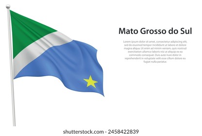
sul
Design Library
New Merch Designs
T-Shirts
Vectors
Trending Merch Designs
PNGs & SVGs
Mockups
T-Shirt PSD Templates
Explore Designs
KDP Designs
Posters
Mugs
Phone Cases
Tote Bags
Pillows
Design Tools
Merch Designer
New!
Mockup Generator
AI Design Generator
Image Vectorizer
Quote Generator
T-Shirt Maker (Old)
Resources
Merch Digest
Blog
Help Center
Learn About Merch
Feedback
Corporate Solutions
Enterprise
API Access
Design Studio
Bulk Design Production
PLANS
All
sul
383 sul designs graphics for t-shirt and print on demand merch
Download sul t-shirt designs and other merch graphics like book covers, phone cases, tote bags and more.
Related:
the sultan ahmet mosque
,
sultry
,
sultan
Sort by
Most relevant
Sponsored results by
Get 15% off with code: VEXELS15
Show more
Cute blue penguin flat PNG Design
Choose a folder
All favorites
Create new
Save
Cute blue penguin flat PNG Design
Premium
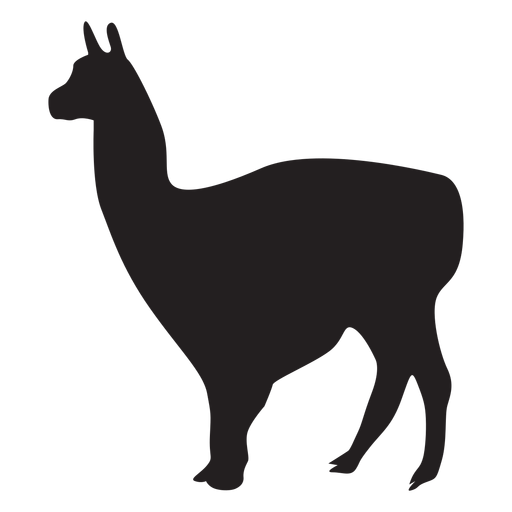
Isolated llama silhouette PNG Design
Choose a folder
All favorites
Create new
Save
Isolated llama silhouette PNG Design
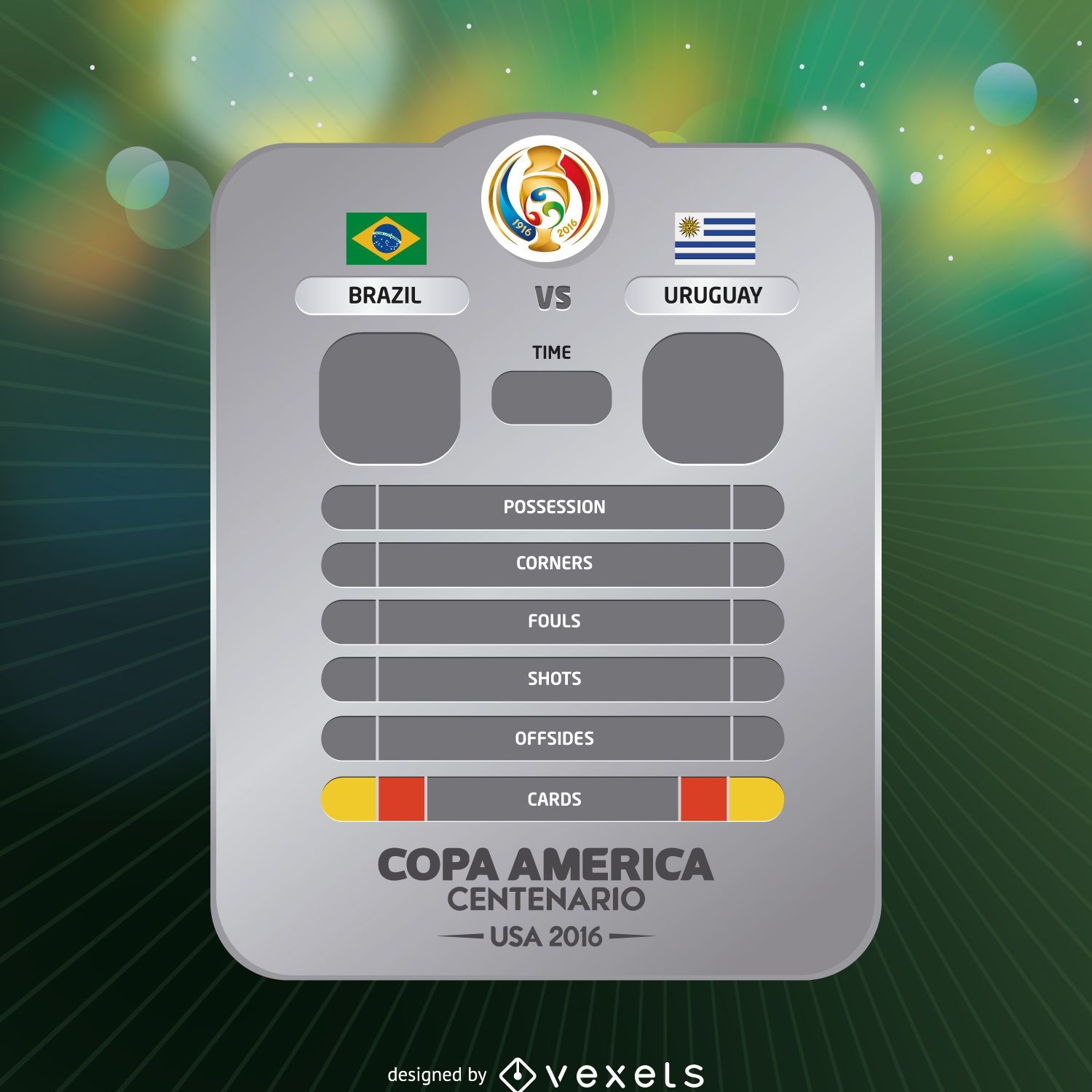
Banners Copa America USA 2016
Choose a folder
All favorites
Create new
Save
Banners Copa America USA 2016
Argentina country badge ornament design PNG Design
Choose a folder
All favorites
Create new
Save
Argentina country badge ornament design PNG Design
Premium
Seoul metropolitan city map PNG Design
Choose a folder
All favorites
Create new
Save
Seoul metropolitan city map PNG Design
Copa America game results
Choose a folder
All favorites
Create new
Save
Copa America game results
Premium
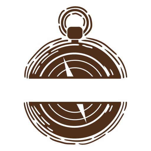
Hand drawn compass PNG Design
Choose a folder
All favorites
Create new
Save
Hand drawn compass PNG Design
Premium
Llama and cria silhouette PNG Design
Choose a folder
All favorites
Create new
Save
Llama and cria silhouette PNG Design
Premium
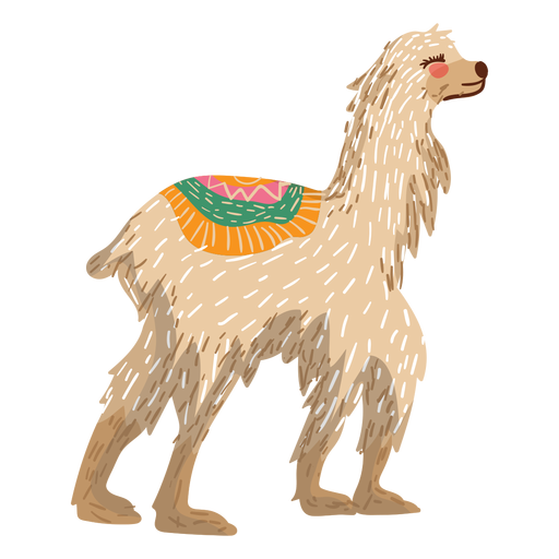
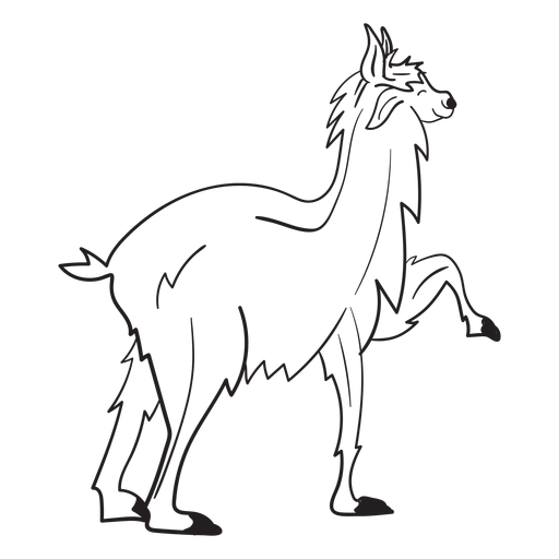
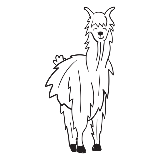
Llama walking illustration PNG Design
Choose a folder
All favorites
Create new
Save
Llama walking illustration PNG Design
Copa America Centenario banner
Choose a folder
All favorites
Create new
Save
Copa America Centenario banner
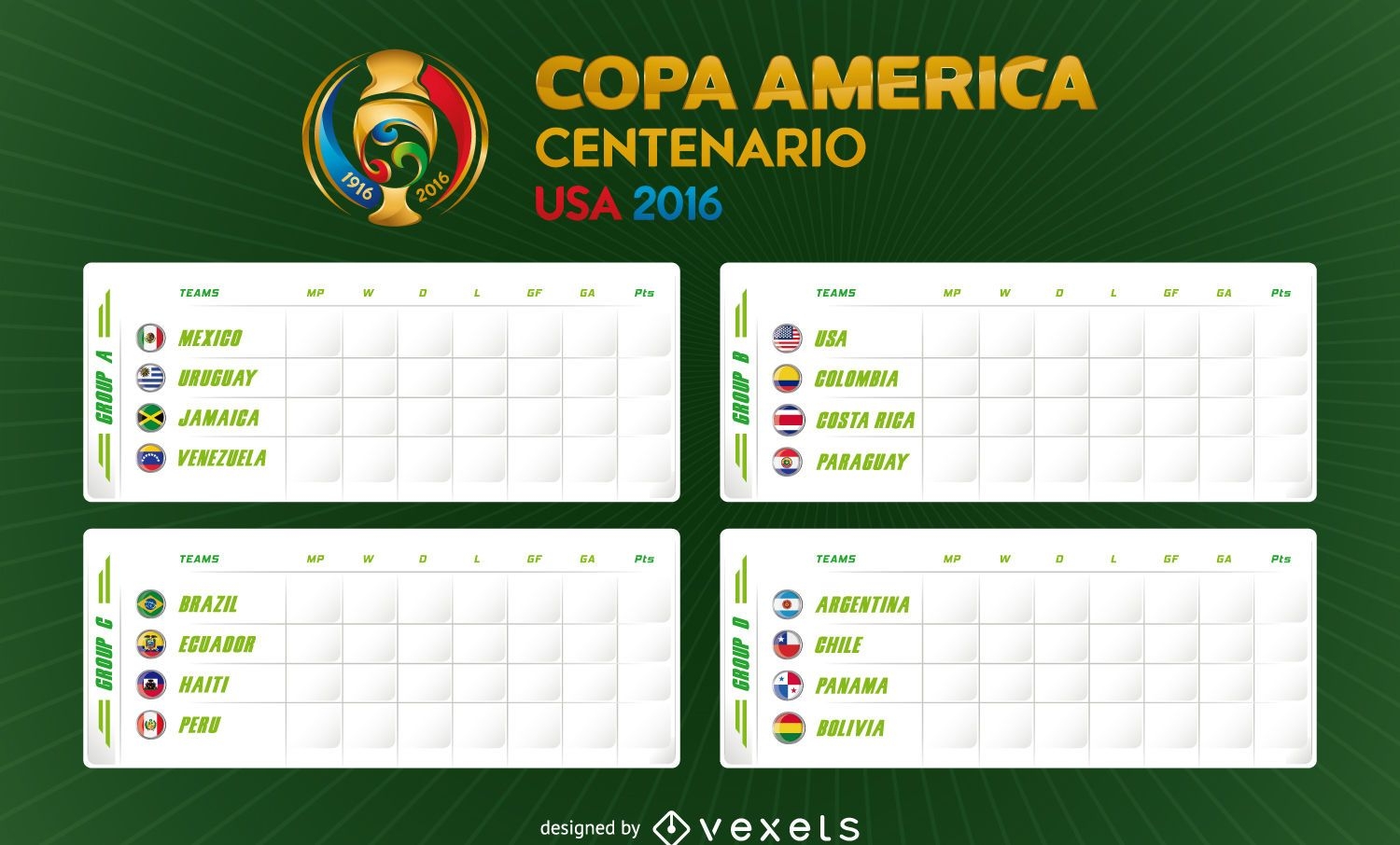
Copa America 2016 fixture
Choose a folder
All favorites
Create new
Save
Copa America 2016 fixture
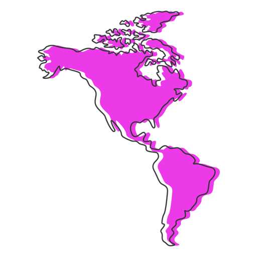
America map flat PNG Design
Choose a folder
All favorites
Create new
Save
America map flat PNG Design
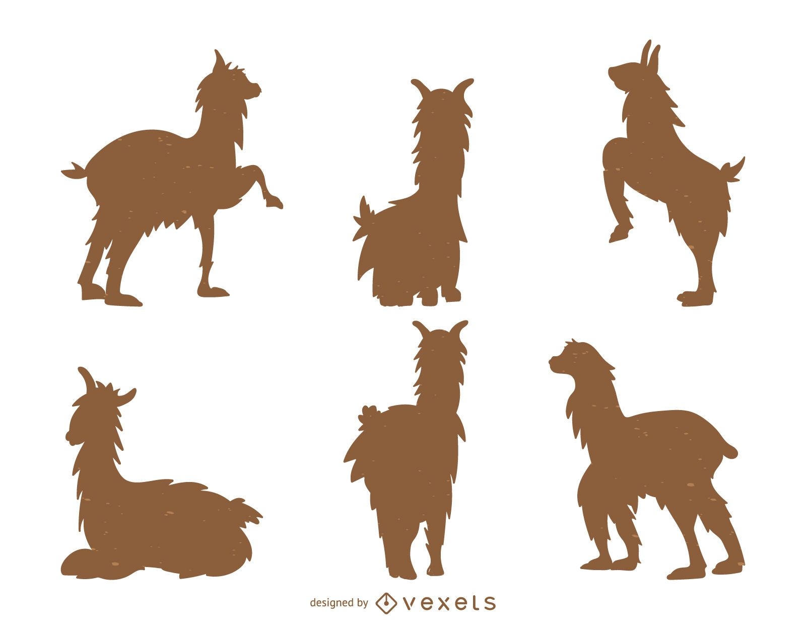
Llama silhouette collection
Choose a folder
All favorites
Create new
Save
Llama silhouette collection
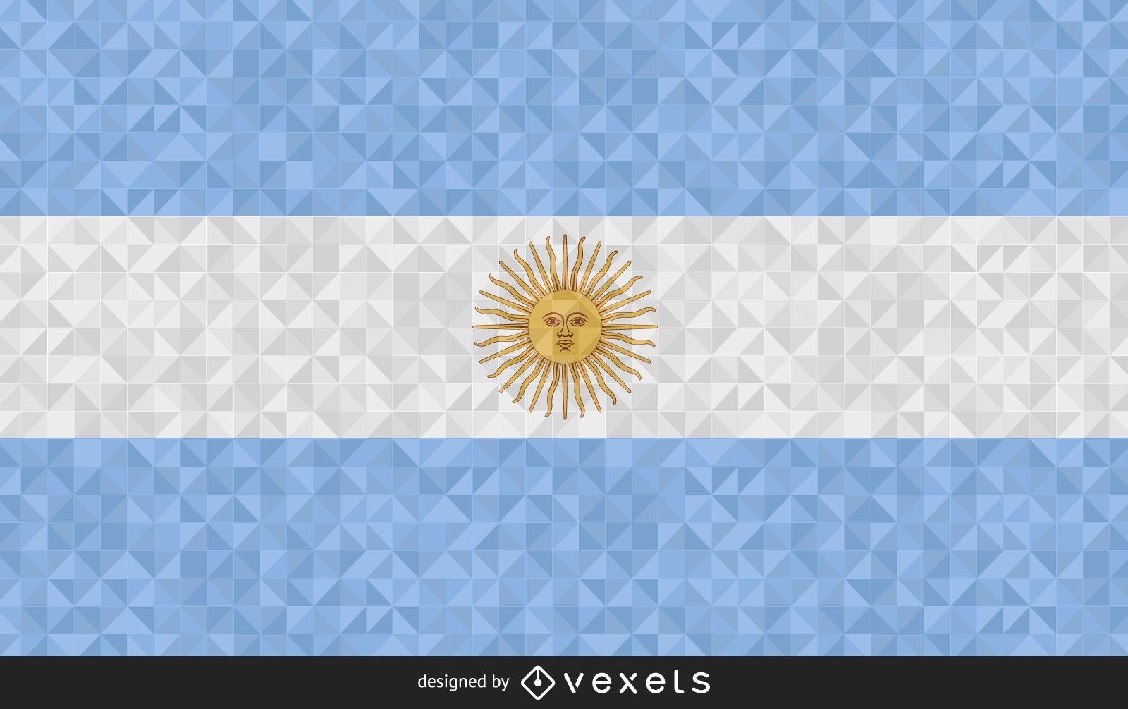
Argentina Flag polygonal Design
Choose a folder
All favorites
Create new
Save
Argentina Flag polygonal Design
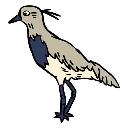
Uruguay tero stroke PNG Design
Choose a folder
All favorites
Create new
Save
Uruguay tero stroke PNG Design
A silhouette of the map of Sweden PNG Design
Choose a folder
All favorites
Create new
Save
A silhouette of the map of Sweden PNG Design
Uruguay tero hand drawn PNG Design
Choose a folder
All favorites
Create new
Save
Uruguay tero hand drawn PNG Design
Korean bonsai element PNG Design
Choose a folder
All favorites
Create new
Save
Korean bonsai element PNG Design
Korean tiger element PNG Design
Choose a folder
All favorites
Create new
Save
Korean tiger element PNG Design
Premium
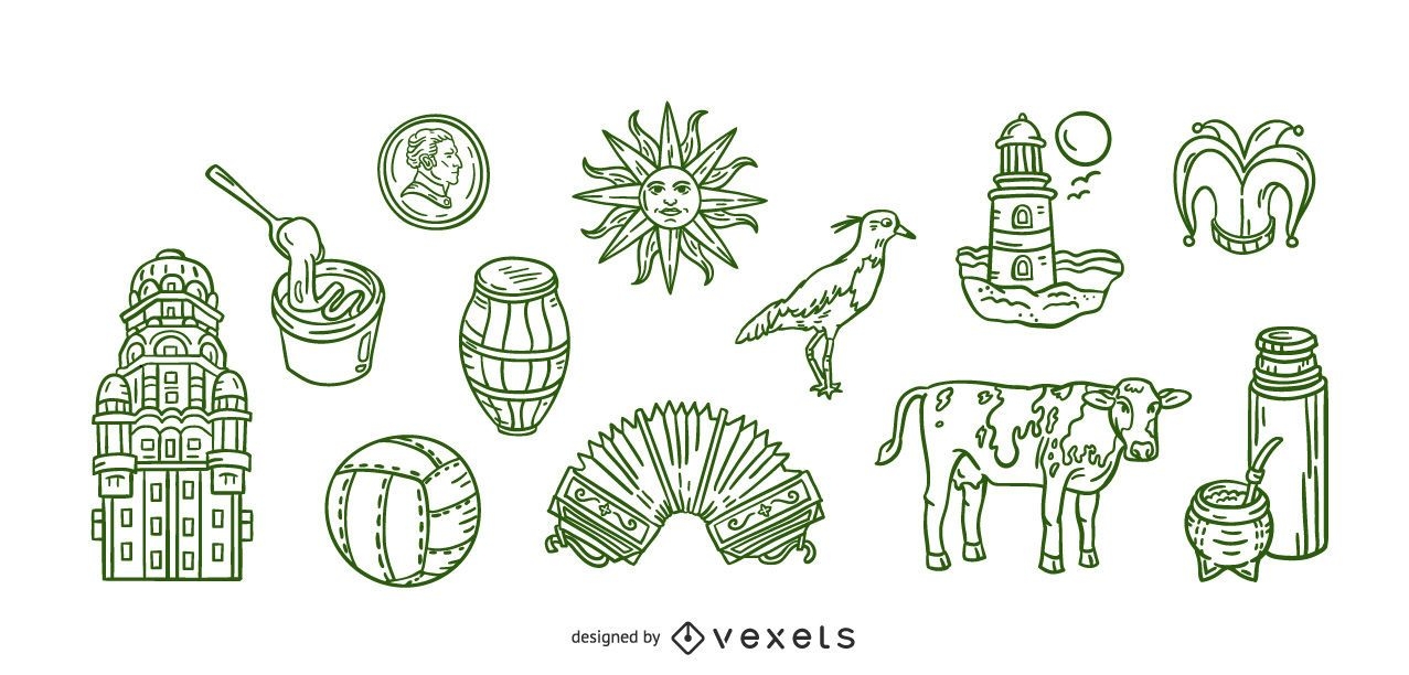
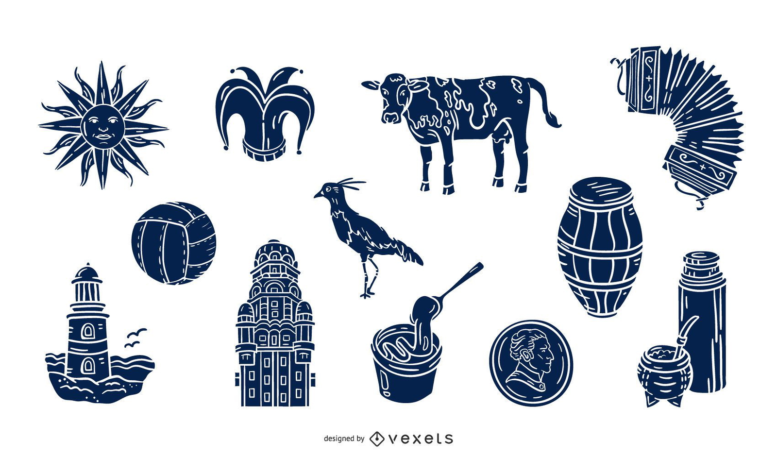
Uruguayan Elements Stroke Set
Choose a folder
All favorites
Create new
Save
Uruguayan Elements Stroke Set
Toco toucan perch branch black PNG Design
Choose a folder
All favorites
Create new
Save
Toco toucan perch branch black PNG Design
Korean bibimbap stroke PNG Design
Choose a folder
All favorites
Create new
Save
Korean bibimbap stroke PNG Design
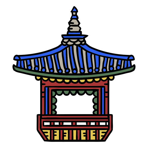
Korean terrace element PNG Design
Choose a folder
All favorites
Create new
Save
Korean terrace element PNG Design
Cardinal points stroke icon PNG Design
Choose a folder
All favorites
Create new
Save
Cardinal points stroke icon PNG Design
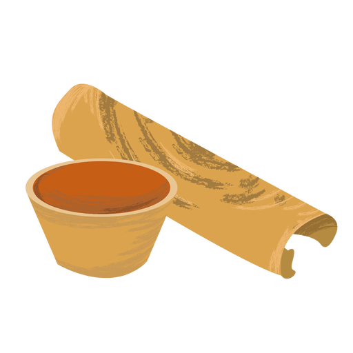
Indian dish dosa flat PNG Design
Choose a folder
All favorites
Create new
Save
Indian dish dosa flat PNG Design
Travel compass label stroke PNG Design
Choose a folder
All favorites
Create new
Save
Travel compass label stroke PNG Design
Korean gimbap stroke PNG Design
Choose a folder
All favorites
Create new
Save
Korean gimbap stroke PNG Design
Premium
Windrose arrow nord west south east flat PNG Design
Choose a folder
All favorites
Create new
Save
Windrose arrow nord west south east flat PNG Design
Premium
Isolated llama animal PNG Design
Choose a folder
All favorites
Create new
Save
Isolated llama animal PNG Design
Premium
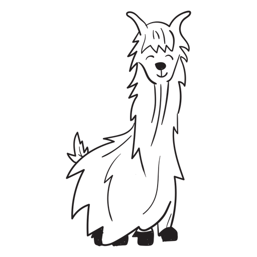
Llama animal stroke PNG Design
Choose a folder
All favorites
Create new
Save
Llama animal stroke PNG Design
Premium
Llama sitting stroke PNG Design
Choose a folder
All favorites
Create new
Save
Llama sitting stroke PNG Design
Premium
Llama standing stroke PNG Design
Choose a folder
All favorites
Create new
Save
Llama standing stroke PNG Design
Premium
Uruguay Elements Silhouette Set
Choose a folder
All favorites
Create new
Save
Uruguay Elements Silhouette Set
Premium
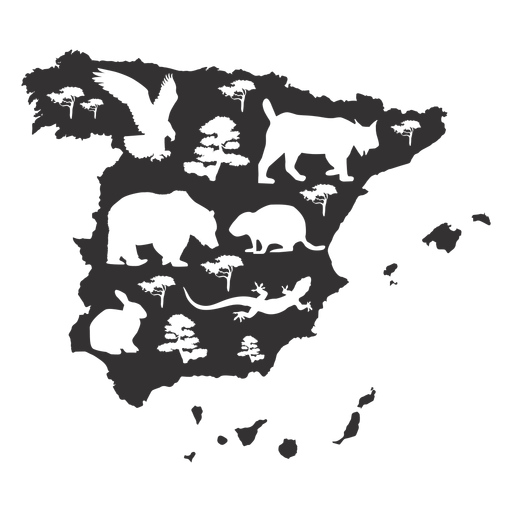
Spain map silhouette PNG Design
Choose a folder
All favorites
Create new
Save
Spain map silhouette PNG Design
Premium
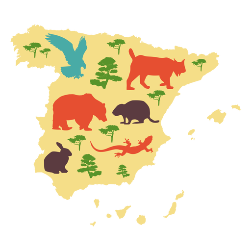
Spain illustrated map PNG Design
Choose a folder
All favorites
Create new
Save
Spain illustrated map PNG Design
Premium
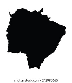
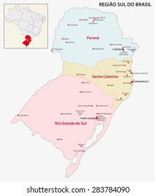
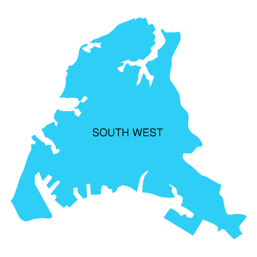
South west district map PNG Design
Choose a folder
All favorites
Create new
Save
South west district map PNG Design
Premium
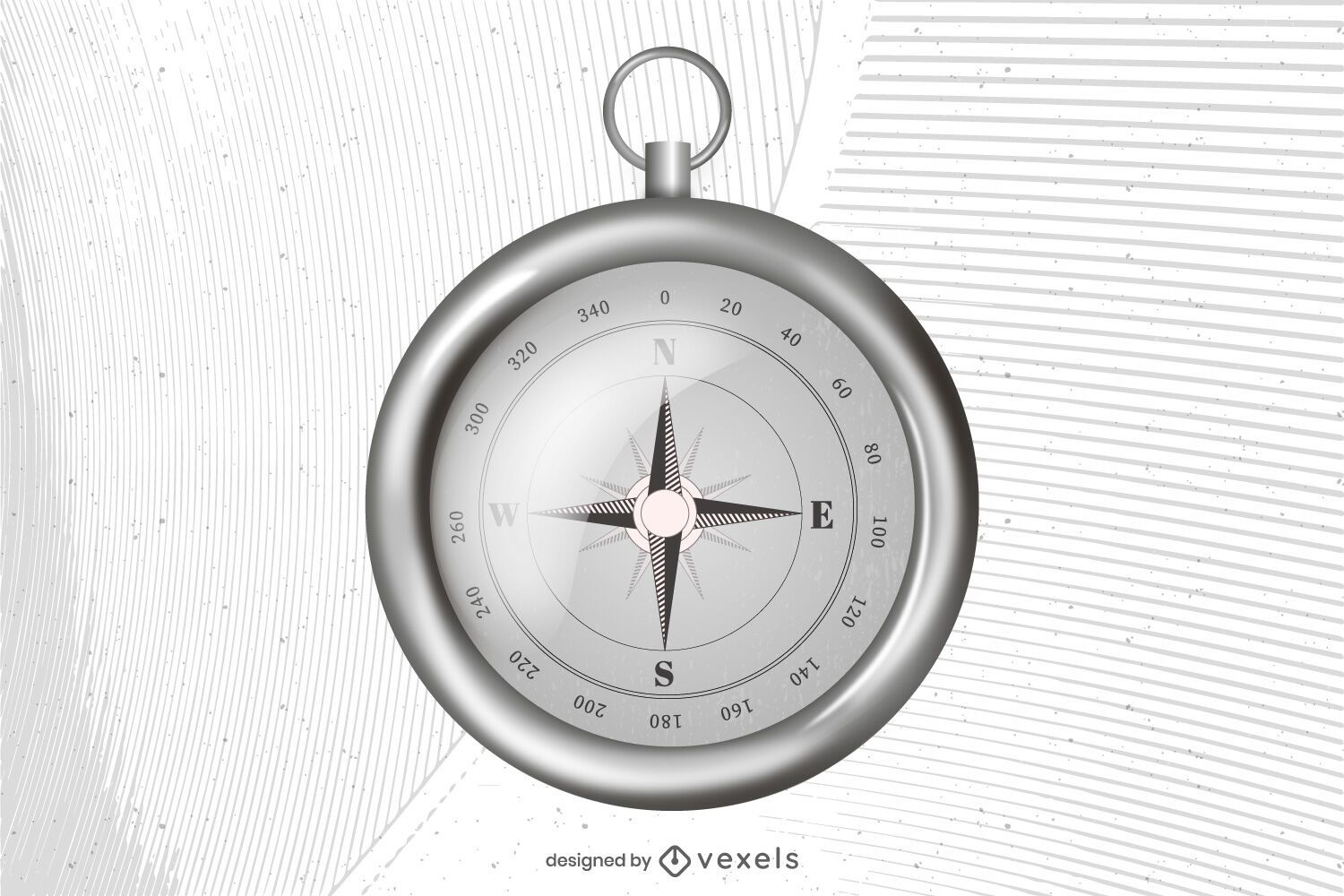
Realistic compass illustration design
Choose a folder
All favorites
Create new
Save
Realistic compass illustration design
Uruguay drum candombe hand drawn PNG Design
Choose a folder
All favorites
Create new
Save
Uruguay drum candombe hand drawn PNG Design
Korean flag stroke PNG Design
Choose a folder
All favorites
Create new
Save
Korean flag stroke PNG Design
Premium
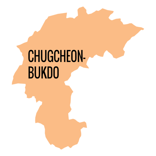
Chungcheongbuk do province map PNG Design
Choose a folder
All favorites
Create new
Save
Chungcheongbuk do province map PNG Design
Copa America game result fixture
Choose a folder
All favorites
Create new
Save
Copa America game result fixture
Travel compass label PNG Design
Choose a folder
All favorites
Create new
Save
Travel compass label PNG Design
Print ready
for Merch
Cardinal Points Illustration T-shirt Design
Choose a folder
All favorites
Create new
Save
Cardinal Points Illustration T-shirt Design
Uruguay drum candombe stroke PNG Design
Choose a folder
All favorites
Create new
Save
Uruguay drum candombe stroke PNG Design
Premium
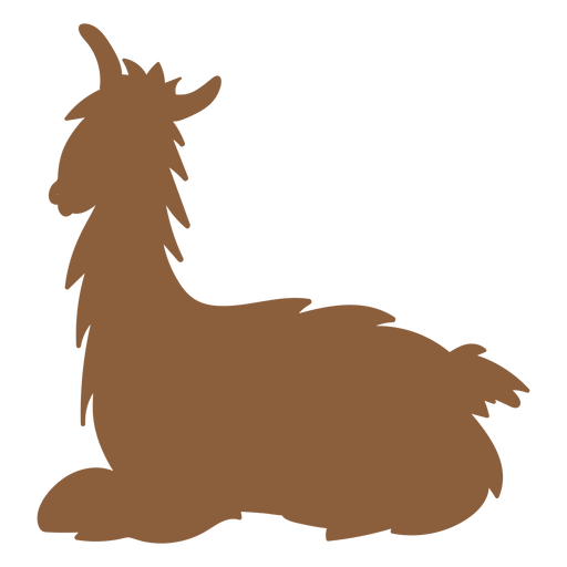
Llama lying silhouette PNG Design
Choose a folder
All favorites
Create new
Save
Llama lying silhouette PNG Design
Premium
Jeju self governing province map PNG Design
Choose a folder
All favorites
Create new
Save
Jeju self governing province map PNG Design
Uruguay drum candombe PNG Design
Choose a folder
All favorites
Create new
Save
Uruguay drum candombe PNG Design
Premium
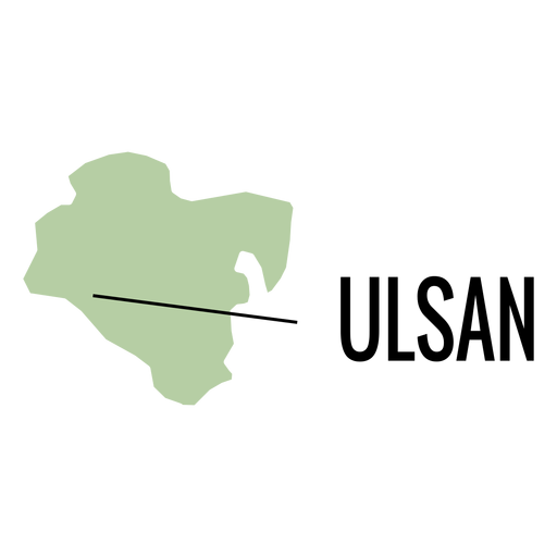
Ulsan metropolitan city map PNG Design
Choose a folder
All favorites
Create new
Save
Ulsan metropolitan city map PNG Design
Copa America 2016 banner
Choose a folder
All favorites
Create new
Save
Copa America 2016 banner
Chilean huemul flat PNG Design
Choose a folder
All favorites
Create new
Save
Chilean huemul flat PNG Design
Boost Your Business
With The Leading Graphic Platform For Merch.
SEE PLANS
Next
of 8
prev page
next page