Design Library
New Merch Designs
T-Shirts
Vectors
Trending Merch Designs
PNGs & SVGs
Mockups
T-Shirt PSD Templates
Explore Designs
KDP Designs
Posters
Mugs
Phone Cases
Tote Bags
Pillows
Design Tools
Merch Designer
New!
Mockup Generator
AI Design Generator
Image Vectorizer
Quote Generator
T-Shirt Maker (Old)
Resources
Merch Digest
Blog
Help Center
Learn About Merch
Feedback
Corporate Solutions
Enterprise
API Access
Design Studio
Bulk Design Production
Pricing
Loading...
Sign Up
Login
All
state
map
Design Library
New Merch Designs
T-Shirts
Vectors
Trending Merch Designs
PNGs & SVGs
Mockups
T-Shirt PSD Templates
Explore Designs
KDP Designs
Posters
Mugs
Phone Cases
Tote Bags
Pillows
Design Tools
Merch Designer
New!
Mockup Generator
AI Design Generator
Image Vectorizer
Quote Generator
T-Shirt Maker (Old)
Resources
Merch Digest
Blog
Help Center
Learn About Merch
Feedback
Corporate Solutions
Enterprise
API Access
Design Studio
Bulk Design Production
PLANS
All
state
map
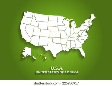
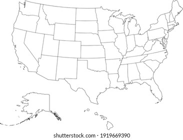
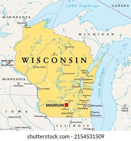
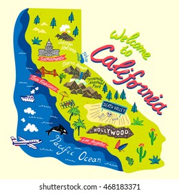
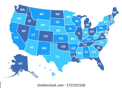
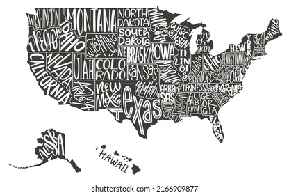
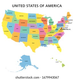
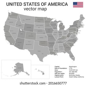
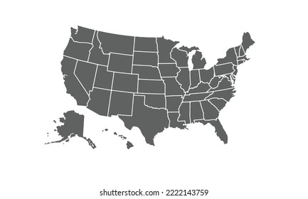
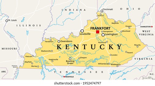
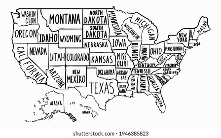
542 state map designs graphics for t-shirt and print on demand merch
Download state map t-shirt designs and other merch graphics like book covers, phone cases, tote bags and more.
Sort by
Most relevant
Sponsored results by
Get 15% off with code: VEXELS15
Show more
Premium
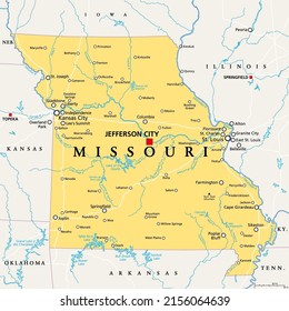
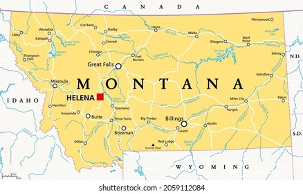
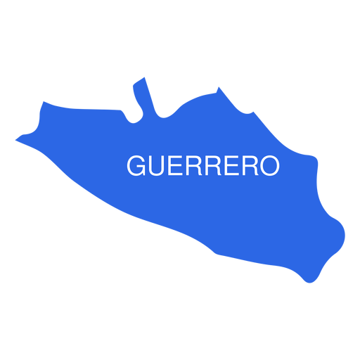
Guerrero state map PNG Design
Choose a folder
All favorites
Create new
Save
Guerrero state map PNG Design
Premium
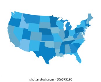
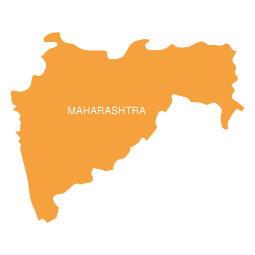
Maharashtra state map PNG Design
Choose a folder
All favorites
Create new
Save
Maharashtra state map PNG Design
Premium
Colima state map PNG Design
Choose a folder
All favorites
Create new
Save
Colima state map PNG Design
Premium
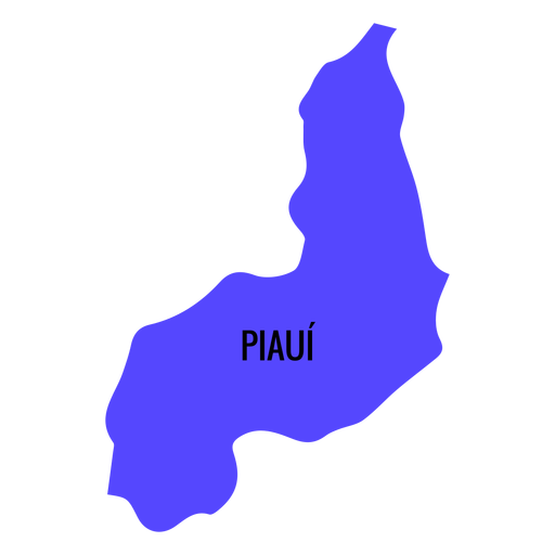
Piaui state map PNG Design
Choose a folder
All favorites
Create new
Save
Piaui state map PNG Design
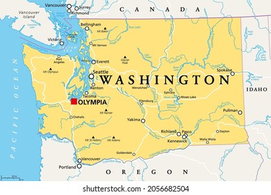
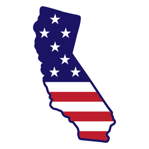
California state map color stroke PNG Design
Choose a folder
All favorites
Create new
Save
California state map color stroke PNG Design
Premium
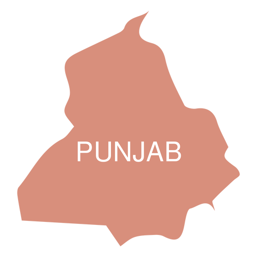
Punjab state map PNG Design
Choose a folder
All favorites
Create new
Save
Punjab state map PNG Design
Premium
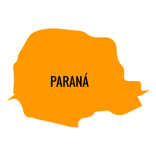
Parana state map PNG Design
Choose a folder
All favorites
Create new
Save
Parana state map PNG Design
Premium
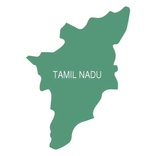
Tamil nadu state map PNG Design
Choose a folder
All favorites
Create new
Save
Tamil nadu state map PNG Design
Premium
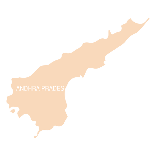
Andhra pradesh state map PNG Design
Choose a folder
All favorites
Create new
Save
Andhra pradesh state map PNG Design
Premium
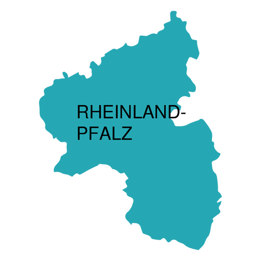
Rhineland palatinate state map PNG Design
Choose a folder
All favorites
Create new
Save
Rhineland palatinate state map PNG Design
Premium
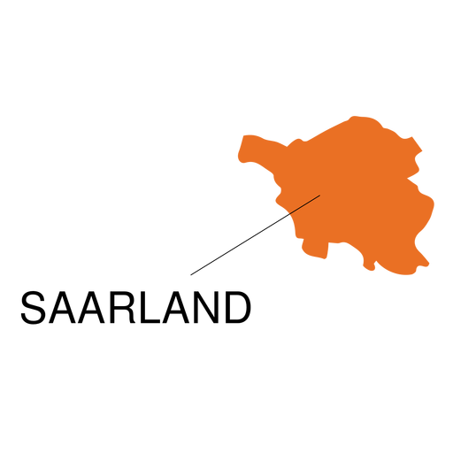
Saarland state map PNG Design
Choose a folder
All favorites
Create new
Save
Saarland state map PNG Design
Premium
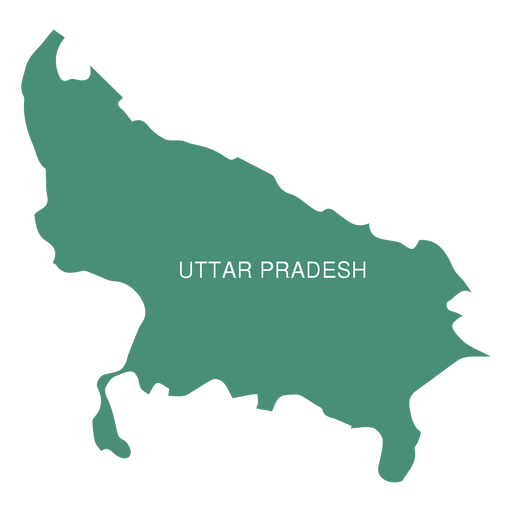
Uttar pradesh state map PNG Design
Choose a folder
All favorites
Create new
Save
Uttar pradesh state map PNG Design
Premium
Jalisko state map PNG Design
Choose a folder
All favorites
Create new
Save
Jalisko state map PNG Design
Premium
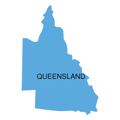
Queensland state map PNG Design
Choose a folder
All favorites
Create new
Save
Queensland state map PNG Design
Premium
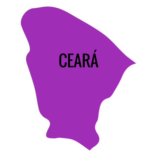
Ceara state map PNG Design
Choose a folder
All favorites
Create new
Save
Ceara state map PNG Design
Premium
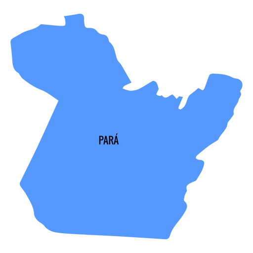
Para state map PNG Design
Choose a folder
All favorites
Create new
Save
Para state map PNG Design
Premium
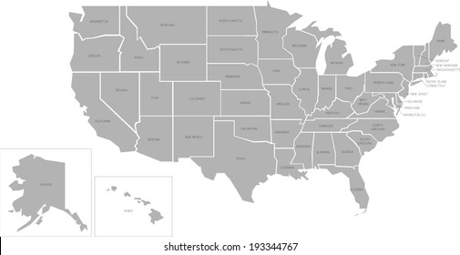
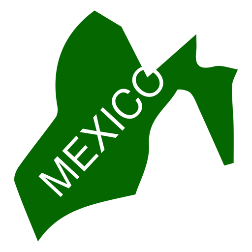
Mexico state map PNG Design
Choose a folder
All favorites
Create new
Save
Mexico state map PNG Design
Premium
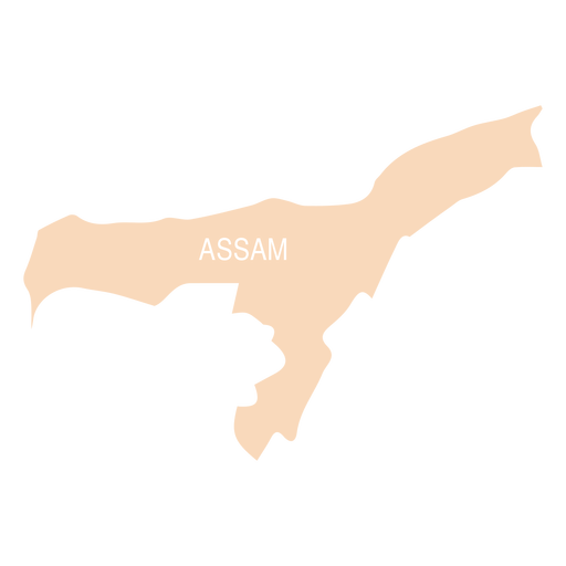
Assam state map PNG Design
Choose a folder
All favorites
Create new
Save
Assam state map PNG Design
Premium
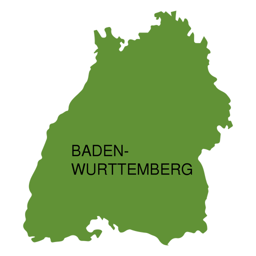
Baden wurttemberg state map PNG Design
Choose a folder
All favorites
Create new
Save
Baden wurttemberg state map PNG Design
Premium
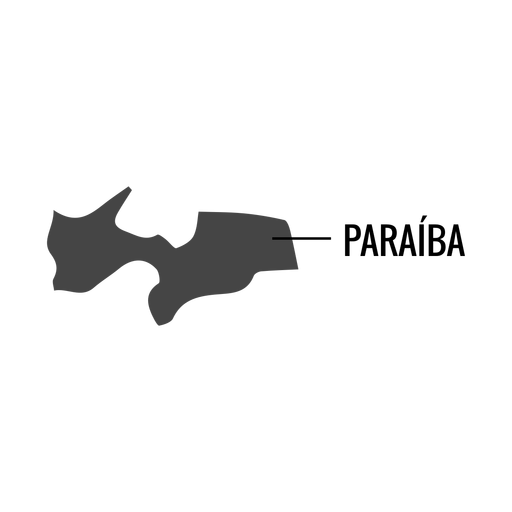
Paraiba state map PNG Design
Choose a folder
All favorites
Create new
Save
Paraiba state map PNG Design
Premium
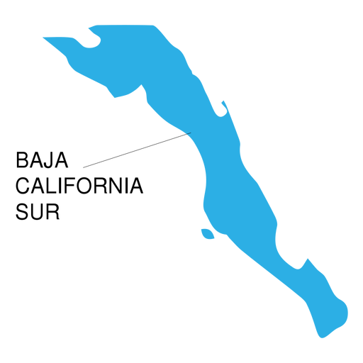
Baja california sur state map PNG Design
Choose a folder
All favorites
Create new
Save
Baja california sur state map PNG Design
Premium
Tlaxcala state map PNG Design
Choose a folder
All favorites
Create new
Save
Tlaxcala state map PNG Design
Premium
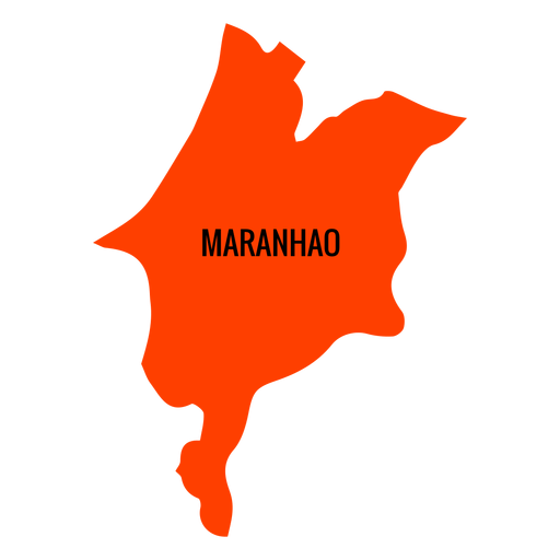
Maranhao state map PNG Design
Choose a folder
All favorites
Create new
Save
Maranhao state map PNG Design
Premium
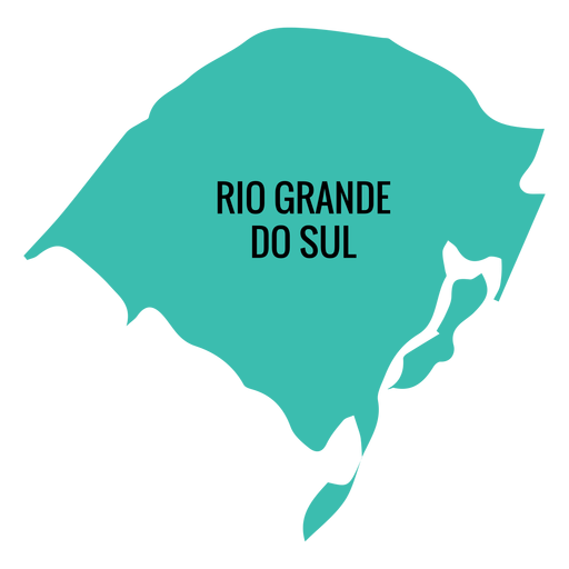
Rio grande do sul state map PNG Design
Choose a folder
All favorites
Create new
Save
Rio grande do sul state map PNG Design
Premium
Alagoas state map PNG Design
Choose a folder
All favorites
Create new
Save
Alagoas state map PNG Design
Premium
Sergipe state map PNG Design
Choose a folder
All favorites
Create new
Save
Sergipe state map PNG Design
Premium
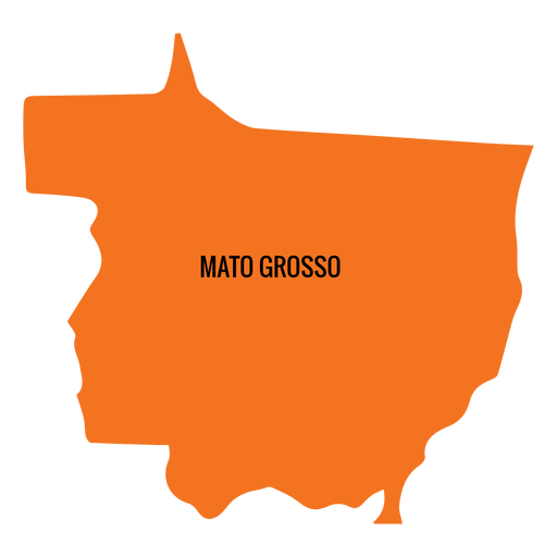
Mato grosso state map PNG Design
Choose a folder
All favorites
Create new
Save
Mato grosso state map PNG Design
Premium
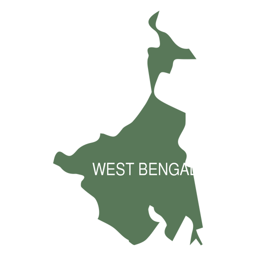
West bengal state map PNG Design
Choose a folder
All favorites
Create new
Save
West bengal state map PNG Design
Premium
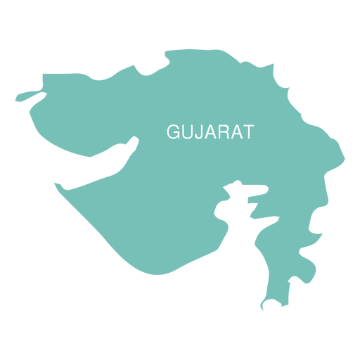
Gujarat state map PNG Design
Choose a folder
All favorites
Create new
Save
Gujarat state map PNG Design
Premium
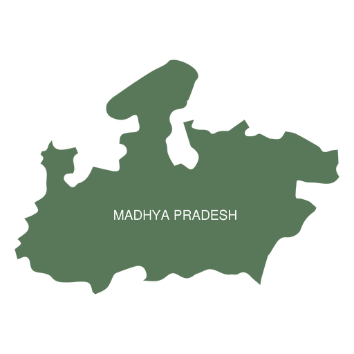
Madhya pradesh state map PNG Design
Choose a folder
All favorites
Create new
Save
Madhya pradesh state map PNG Design
Premium
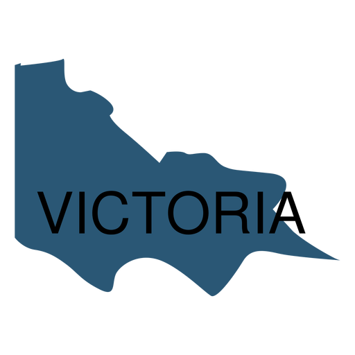
Victoria state map PNG Design
Choose a folder
All favorites
Create new
Save
Victoria state map PNG Design
Premium
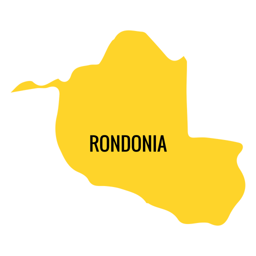
Rondonia state map PNG Design
Choose a folder
All favorites
Create new
Save
Rondonia state map PNG Design
Premium
Acre state map PNG Design
Choose a folder
All favorites
Create new
Save
Acre state map PNG Design
Premium
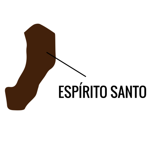
Espirito santo state map PNG Design
Choose a folder
All favorites
Create new
Save
Espirito santo state map PNG Design
Premium
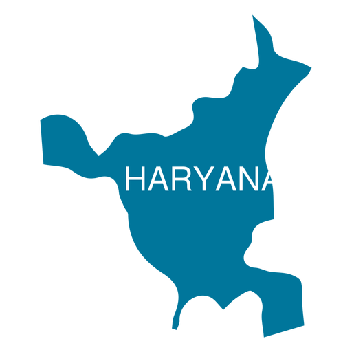
Haryana state map PNG Design
Choose a folder
All favorites
Create new
Save
Haryana state map PNG Design
Premium
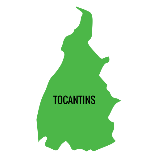
Tocantins state map PNG Design
Choose a folder
All favorites
Create new
Save
Tocantins state map PNG Design
Premium
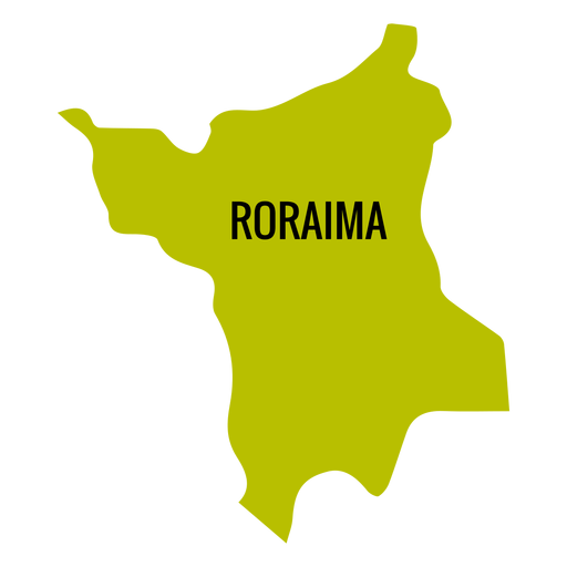
Roraima state map PNG Design
Choose a folder
All favorites
Create new
Save
Roraima state map PNG Design
Premium
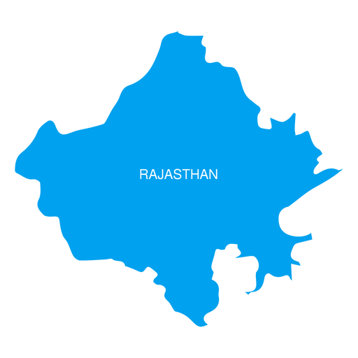
Rajasthan state map PNG Design
Choose a folder
All favorites
Create new
Save
Rajasthan state map PNG Design
Premium
Rio grande do norte state map PNG Design
Choose a folder
All favorites
Create new
Save
Rio grande do norte state map PNG Design
Premium
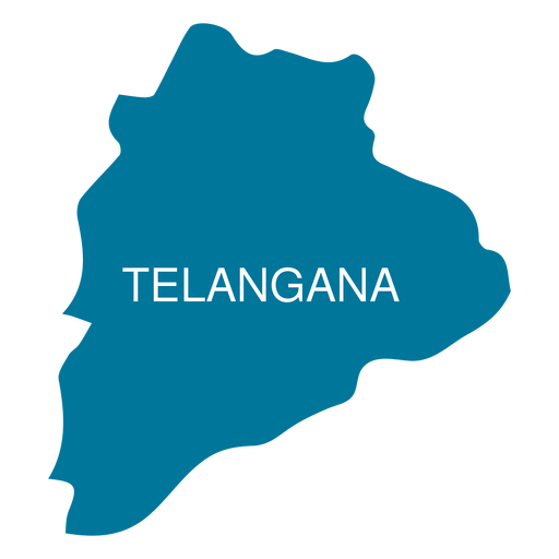
Telangana state map PNG Design
Choose a folder
All favorites
Create new
Save
Telangana state map PNG Design
Premium
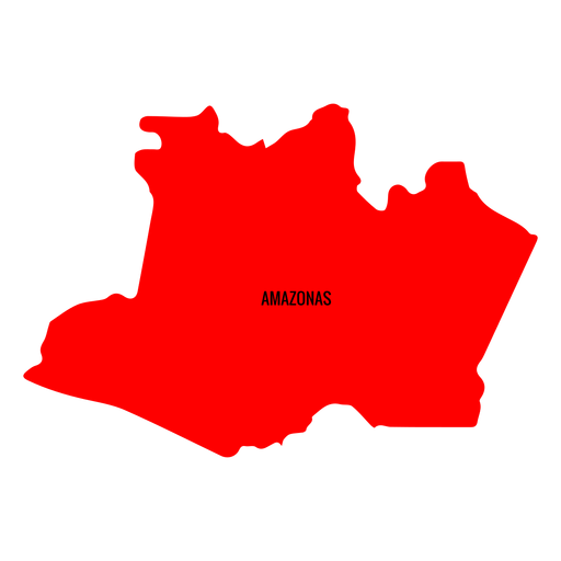
Amazonas state map PNG Design
Choose a folder
All favorites
Create new
Save
Amazonas state map PNG Design
Premium
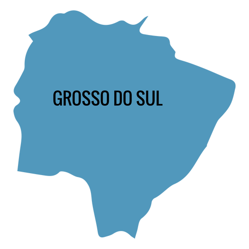
Mato grosso do sul state map PNG Design
Choose a folder
All favorites
Create new
Save
Mato grosso do sul state map PNG Design
Premium
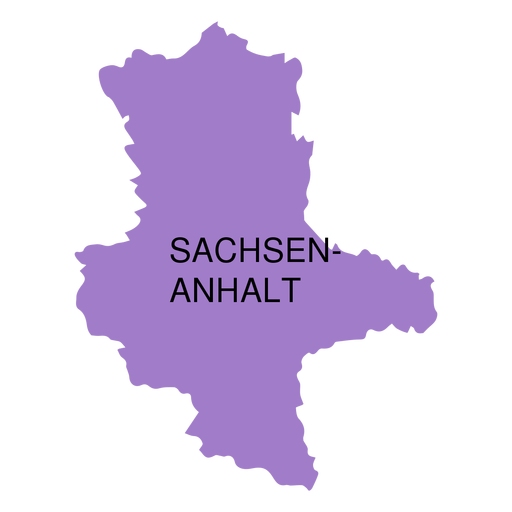
Saxony anhalt state map PNG Design
Choose a folder
All favorites
Create new
Save
Saxony anhalt state map PNG Design
Premium
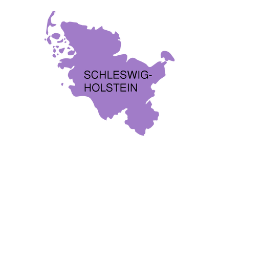
Schleswig holstein state map PNG Design
Choose a folder
All favorites
Create new
Save
Schleswig holstein state map PNG Design
Premium
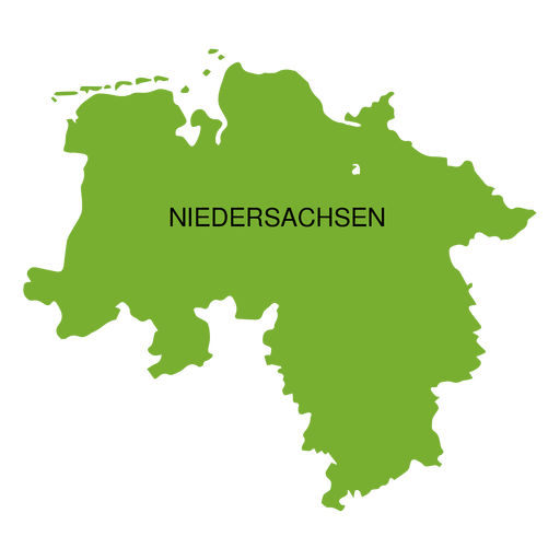
Lower saxony state map PNG Design
Choose a folder
All favorites
Create new
Save
Lower saxony state map PNG Design
Premium
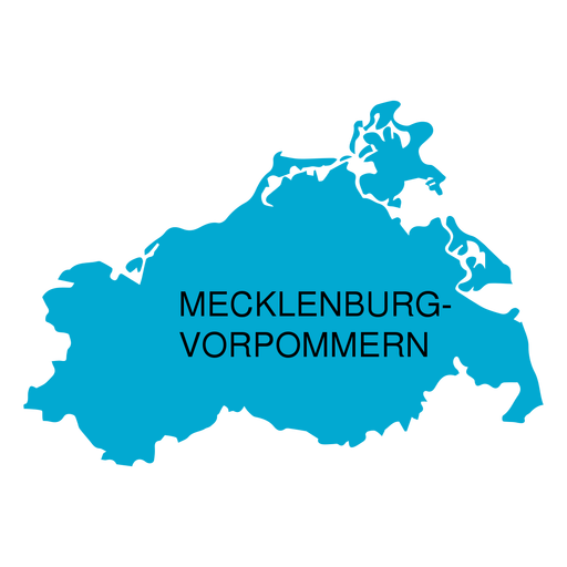
Mecklenburg west pomerania state map PNG Design
Choose a folder
All favorites
Create new
Save
Mecklenburg west pomerania state map PNG Design
Premium
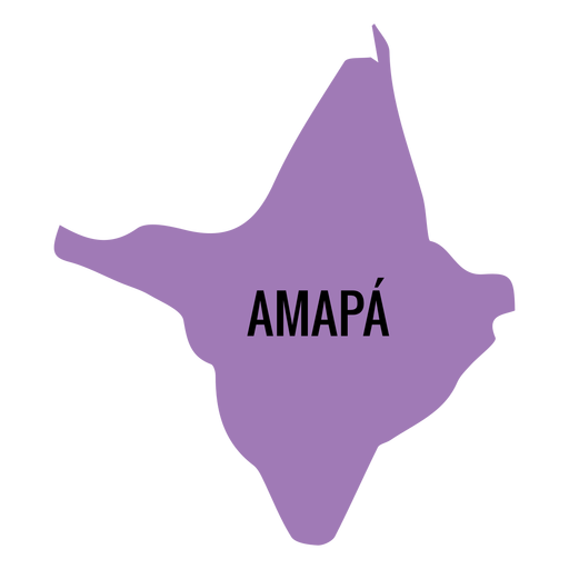
Amapa state map PNG Design
Choose a folder
All favorites
Create new
Save
Amapa state map PNG Design
Premium
Mexico city state map PNG Design
Choose a folder
All favorites
Create new
Save
Mexico city state map PNG Design
Premium
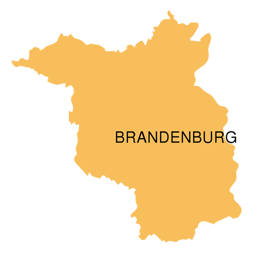
Brandenburg state map PNG Design
Choose a folder
All favorites
Create new
Save
Brandenburg state map PNG Design
Premium
Sikkim state map PNG Design
Choose a folder
All favorites
Create new
Save
Sikkim state map PNG Design
Boost Your Business
With The Leading Graphic Platform For Merch.
SEE PLANS
Next
of 11
prev page
next page