Design Library
New Merch Designs
T-Shirts
Vectors
Trending Merch Designs
PNGs & SVGs
Mockups
T-Shirt PSD Templates
Explore Designs
KDP Designs
Posters
Mugs
Phone Cases
Tote Bags
Pillows
Design Tools
Merch Designer
New!
Mockup Generator
AI Design Generator
Image Vectorizer
Quote Generator
T-Shirt Maker (Old)
Resources
Merch Digest
Blog
Help Center
Learn About Merch
Feedback
Corporate Solutions
Enterprise
API Access
Design Studio
Bulk Design Production
Pricing
Loading...
Sign Up
Login
All
montana
Design Library
New Merch Designs
T-Shirts
Vectors
Trending Merch Designs
PNGs & SVGs
Mockups
T-Shirt PSD Templates
Explore Designs
KDP Designs
Posters
Mugs
Phone Cases
Tote Bags
Pillows
Design Tools
Merch Designer
New!
Mockup Generator
AI Design Generator
Image Vectorizer
Quote Generator
T-Shirt Maker (Old)
Resources
Merch Digest
Blog
Help Center
Learn About Merch
Feedback
Corporate Solutions
Enterprise
API Access
Design Studio
Bulk Design Production
PLANS
All
montana
1387 montana designs graphics for t-shirt and print on demand merch
Download montana t-shirt designs and other merch graphics like book covers, phone cases, tote bags and more.
Sort by
Most relevant
Sponsored results by
Get 15% off with code: VEXELS15
Show more
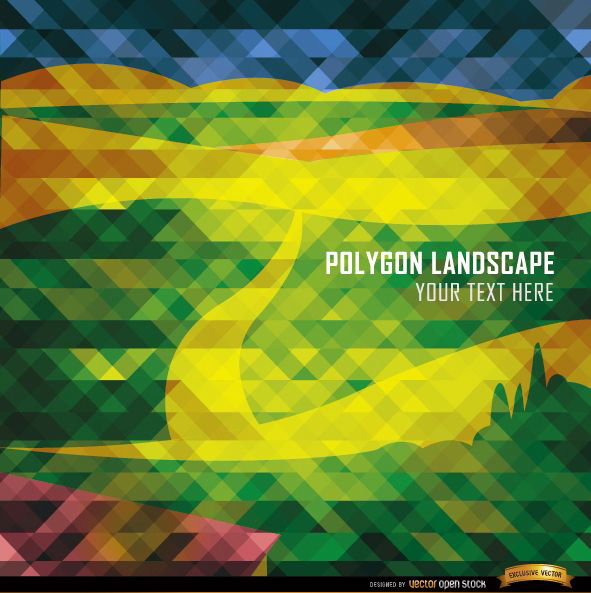
Polygon road and mountains landscape
Choose a folder
All favorites
Create new
Save
Polygon road and mountains landscape
Print ready
for Merch
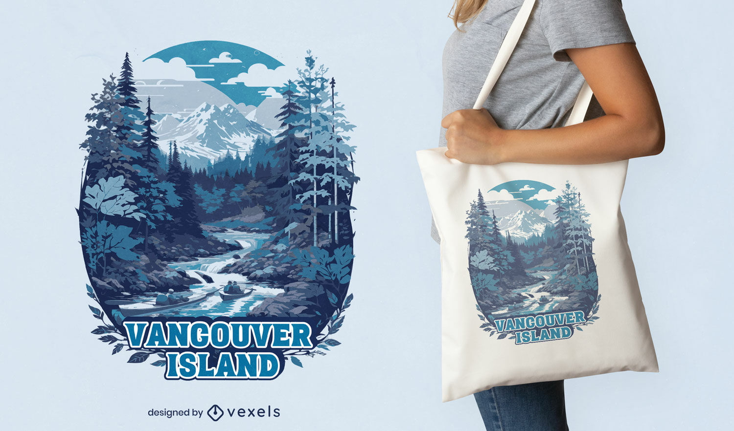
Vancouver Island nature tote bag design
Choose a folder
All favorites
Create new
Save
Vancouver Island nature tote bag design
Mountain biker standing silhouette PNG Design
Choose a folder
All favorites
Create new
Save
Mountain biker standing silhouette PNG Design
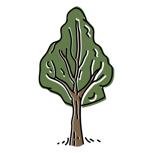
Color stroke hand drawn tree PNG Design
Choose a folder
All favorites
Create new
Save
Color stroke hand drawn tree PNG Design
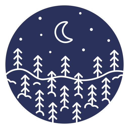
Silhouette snow landscape moon PNG Design
Choose a folder
All favorites
Create new
Save
Silhouette snow landscape moon PNG Design
Editable text
Print ready
for Merch
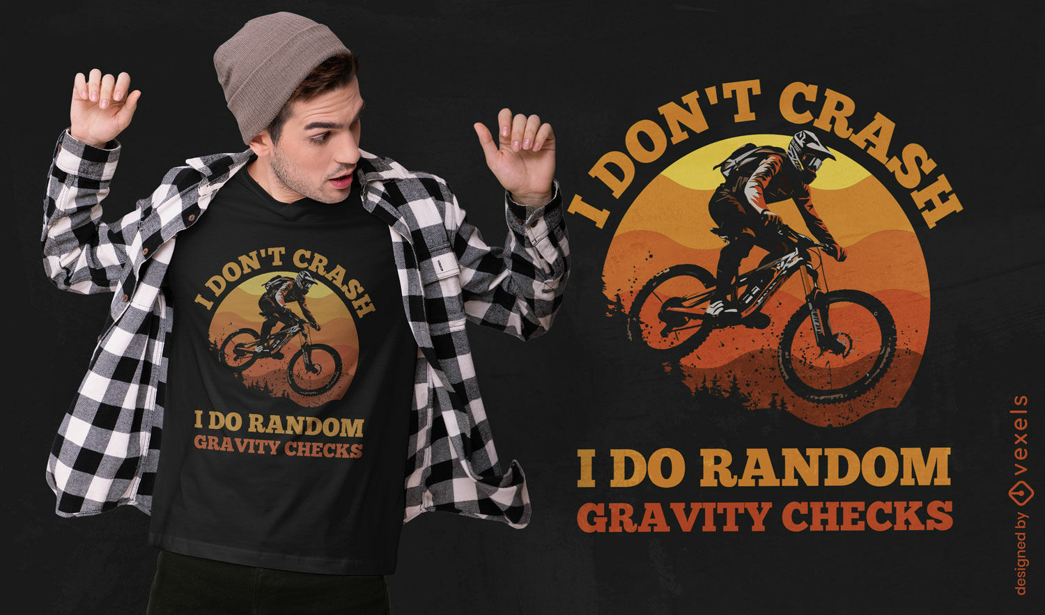
Funny biker quote t-shirt design
Choose a folder
All favorites
Create new
Save
Funny biker quote t-shirt design
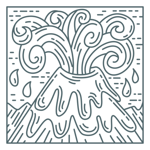
Volcano mountain eruption PNG Design
Choose a folder
All favorites
Create new
Save
Volcano mountain eruption PNG Design
Simple stroke big pine PNG Design
Choose a folder
All favorites
Create new
Save
Simple stroke big pine PNG Design
Polygonal stroke wolf PNG Design
Choose a folder
All favorites
Create new
Save
Polygonal stroke wolf PNG Design
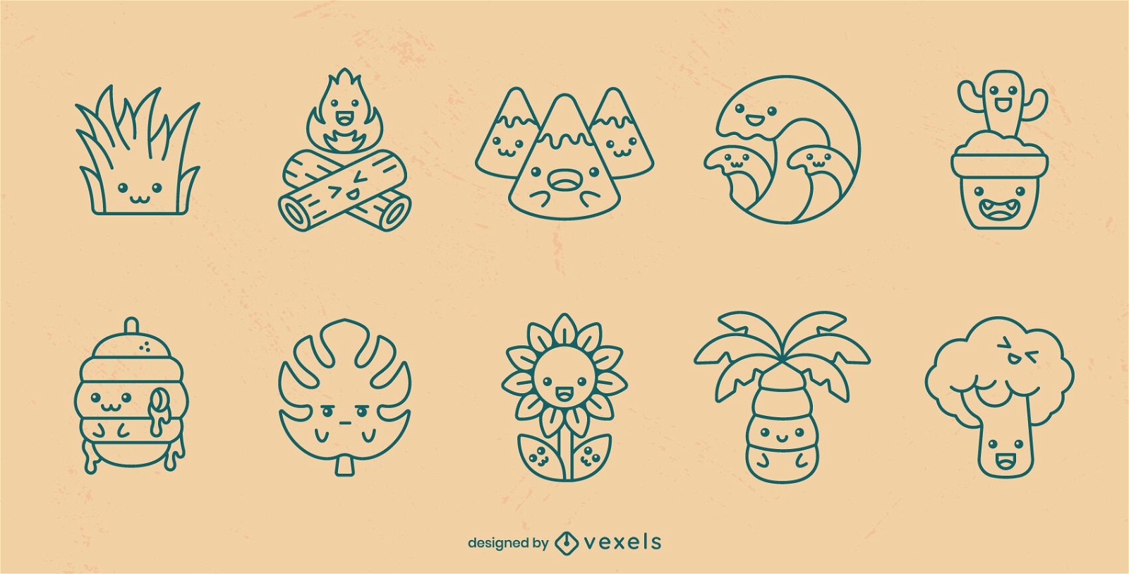
Nature kawaii stroke set
Choose a folder
All favorites
Create new
Save
Nature kawaii stroke set
Premium
Rock climber PNG Design
Choose a folder
All favorites
Create new
Save
Rock climber PNG Design
Print ready
for Merch
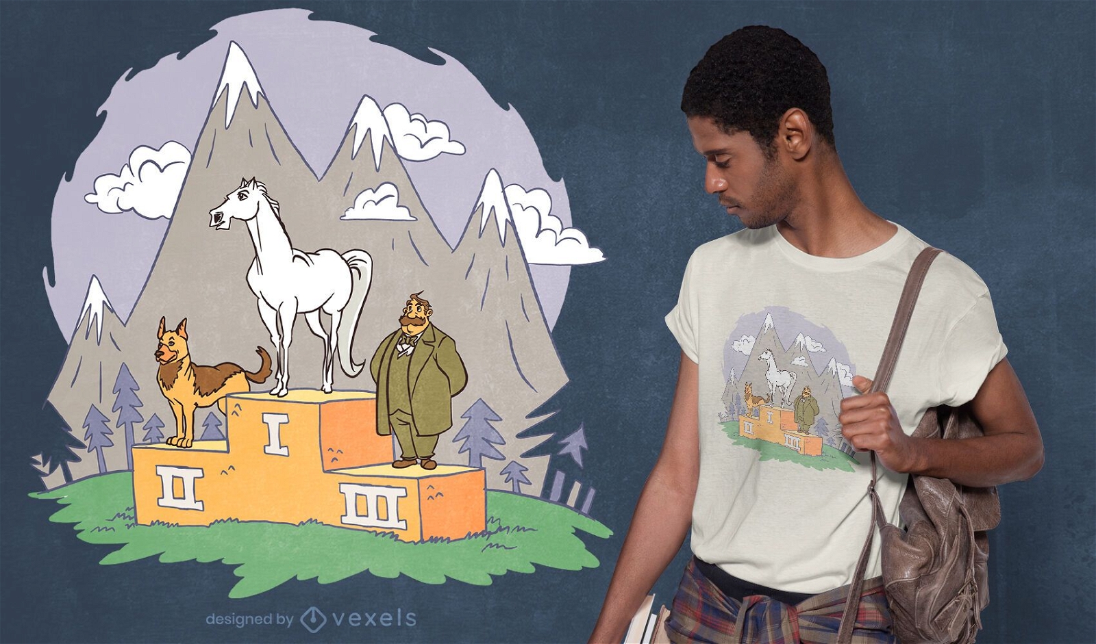
Animal podium t-shirt design
Choose a folder
All favorites
Create new
Save
Animal podium t-shirt design
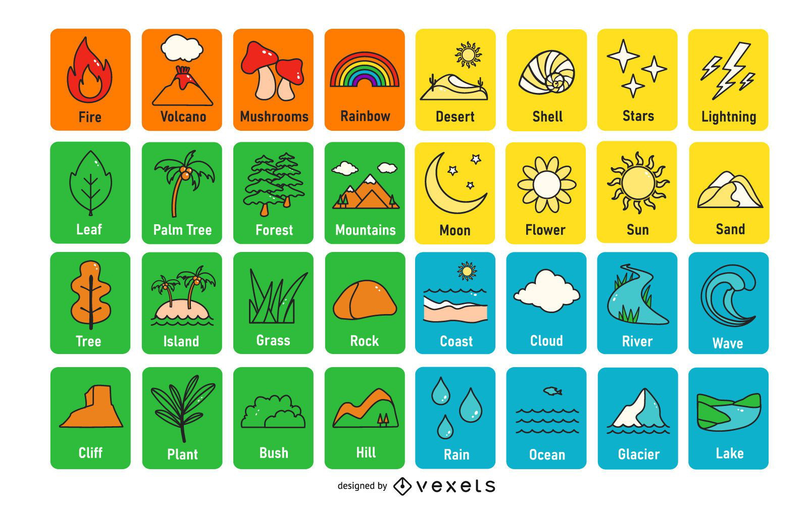
Minimal Travel & Tourism Icon Set
Choose a folder
All favorites
Create new
Save
Minimal Travel & Tourism Icon Set
20 winter holidays white icons
Choose a folder
All favorites
Create new
Save
20 winter holidays white icons
Premium
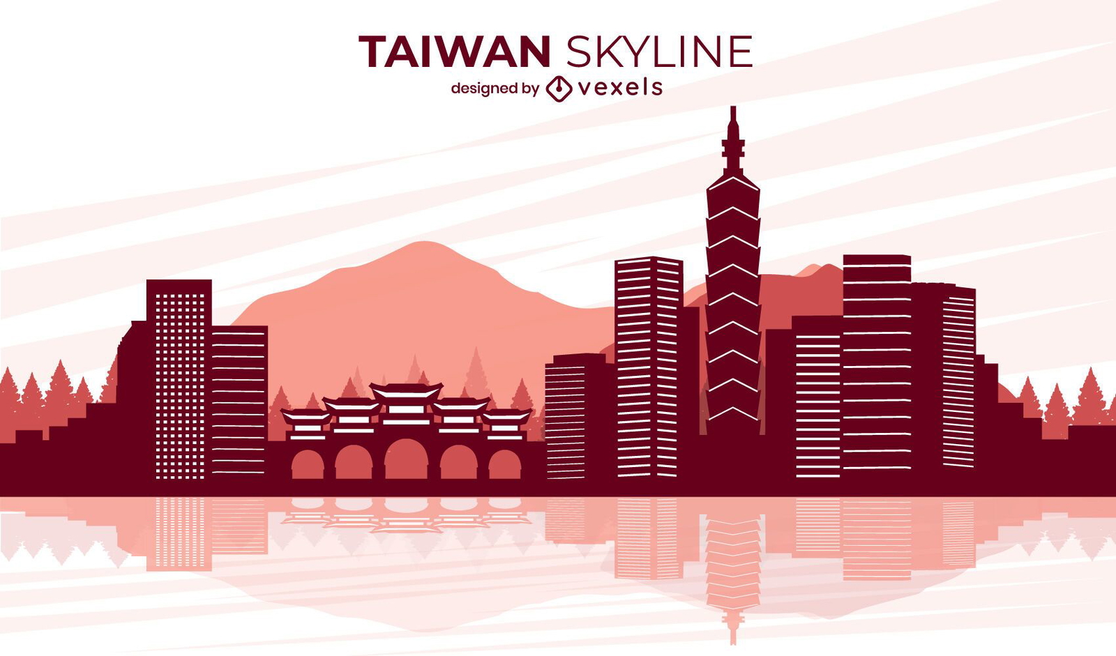
Taiwan city landscape skyline design
Choose a folder
All favorites
Create new
Save
Taiwan city landscape skyline design
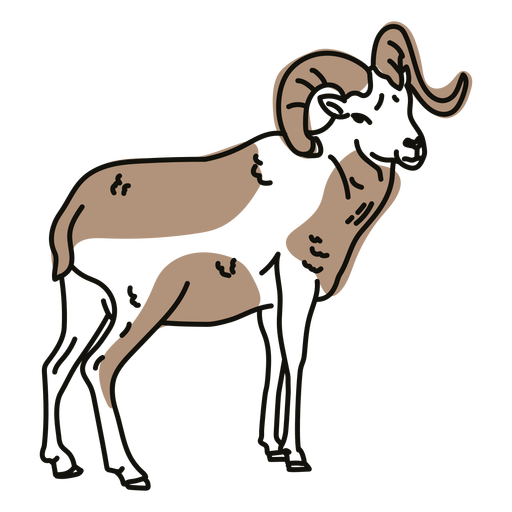
Color stroke semi colored ram PNG Design
Choose a folder
All favorites
Create new
Save
Color stroke semi colored ram PNG Design
Print ready
for Merch
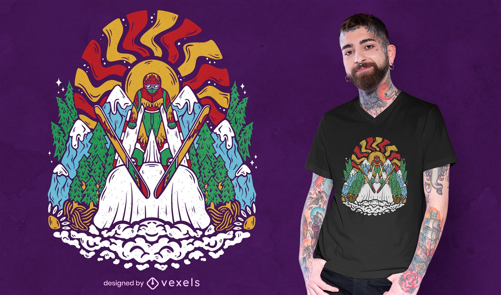
Cool skier t-shirt design
Choose a folder
All favorites
Create new
Save
Cool skier t-shirt design
Premium
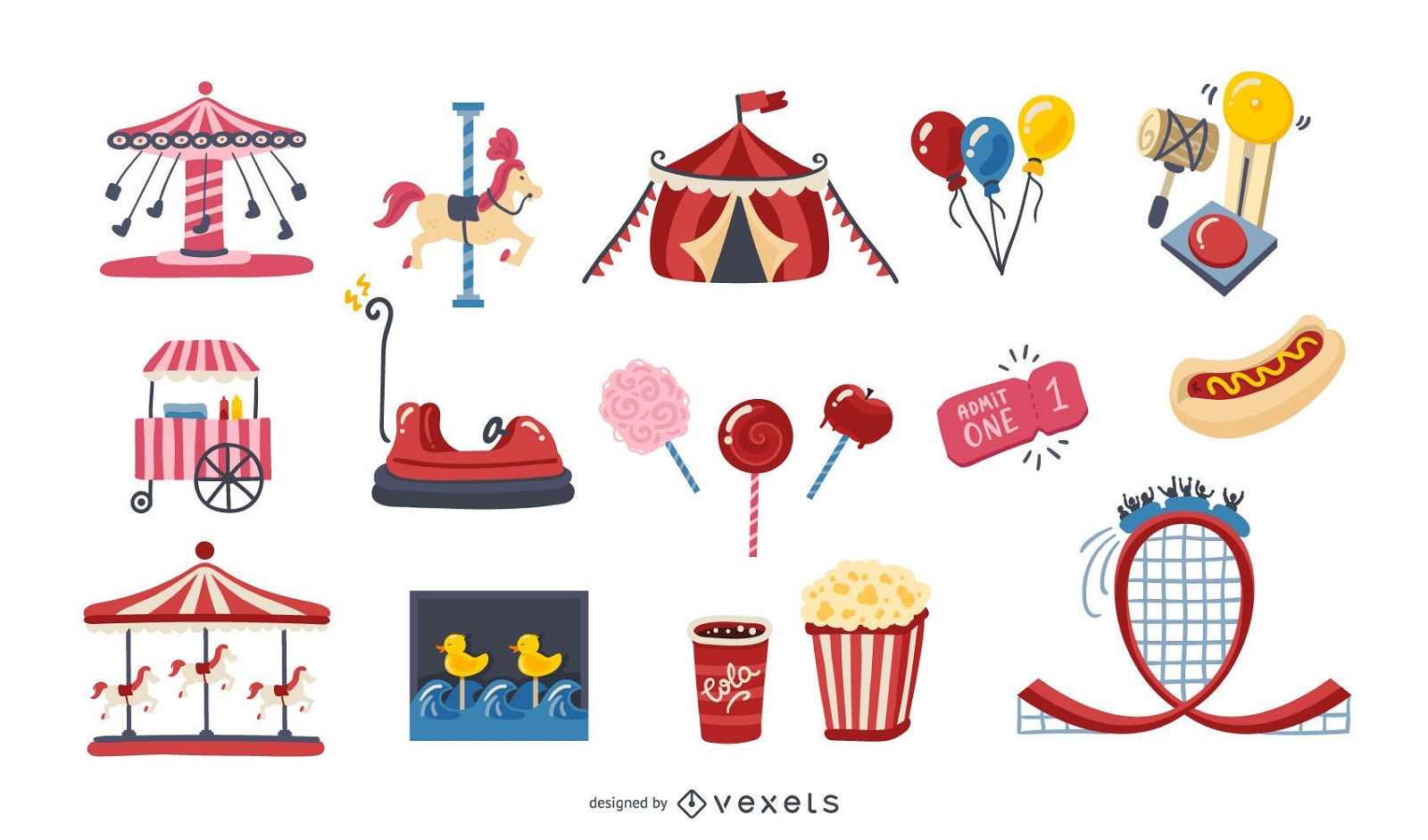
Amusement Park Colorful Elements Pack
Choose a folder
All favorites
Create new
Save
Amusement Park Colorful Elements Pack
Premium
Mountain climber silhouette 2 PNG Design
Choose a folder
All favorites
Create new
Save
Mountain climber silhouette 2 PNG Design
Let it snow lettering badge PNG Design
Choose a folder
All favorites
Create new
Save
Let it snow lettering badge PNG Design
Bicycle helmet cut out PNG Design
Choose a folder
All favorites
Create new
Save
Bicycle helmet cut out PNG Design
Premium
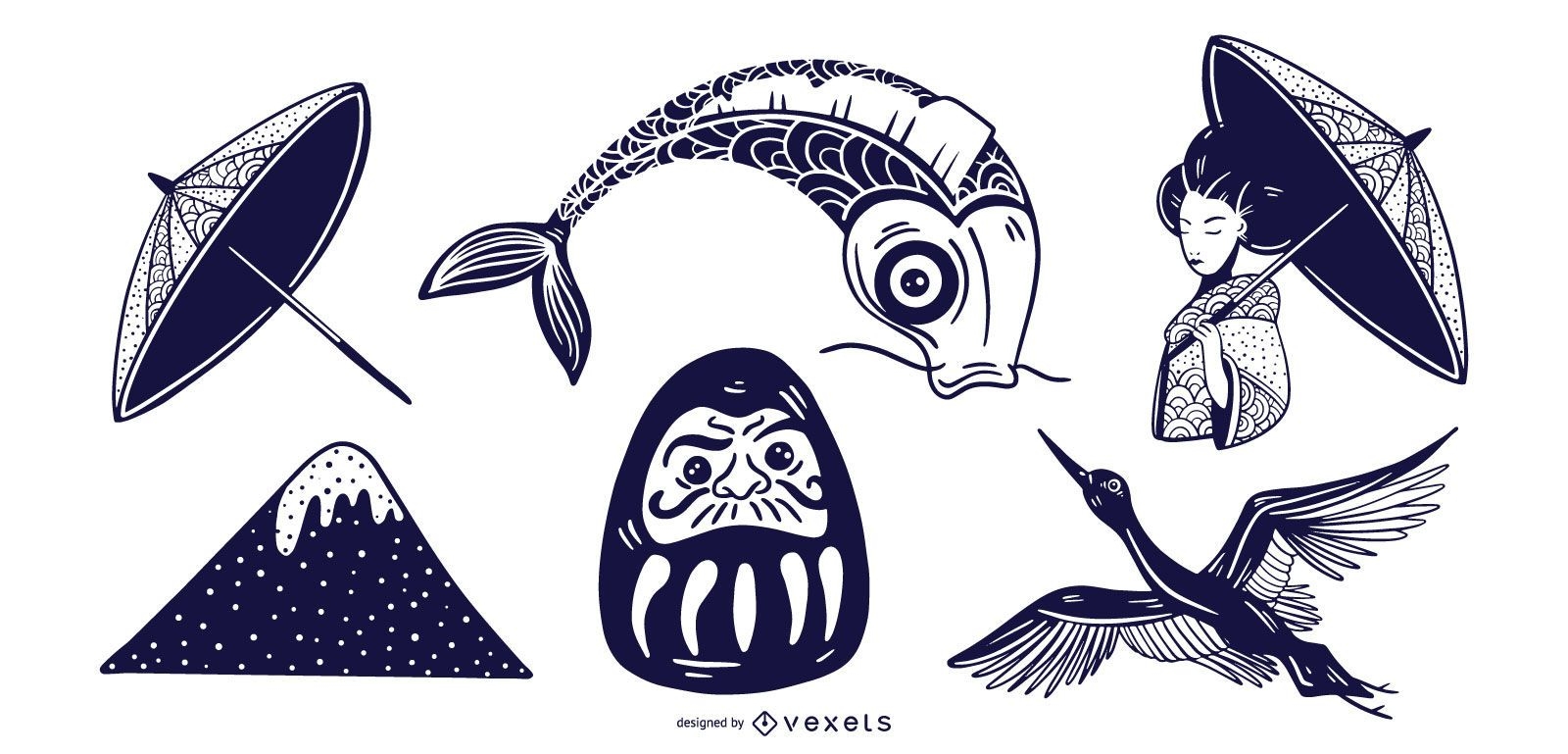
Monotone Japan Element Set
Choose a folder
All favorites
Create new
Save
Monotone Japan Element Set
Mountain lodge snow globe stroke PNG Design
Choose a folder
All favorites
Create new
Save
Mountain lodge snow globe stroke PNG Design
Premium
Landscape Vintage Papercut Banner Set
Choose a folder
All favorites
Create new
Save
Landscape Vintage Papercut Banner Set
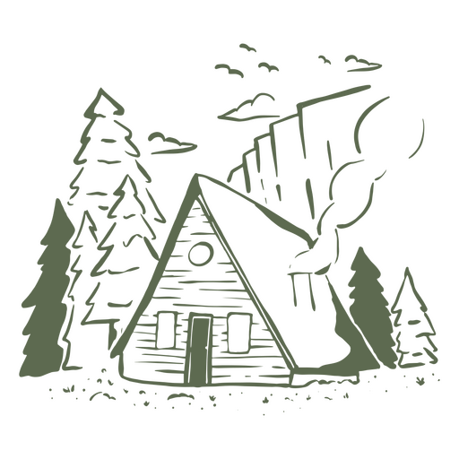
Wood cabin PNG Design
Choose a folder
All favorites
Create new
Save
Wood cabin PNG Design
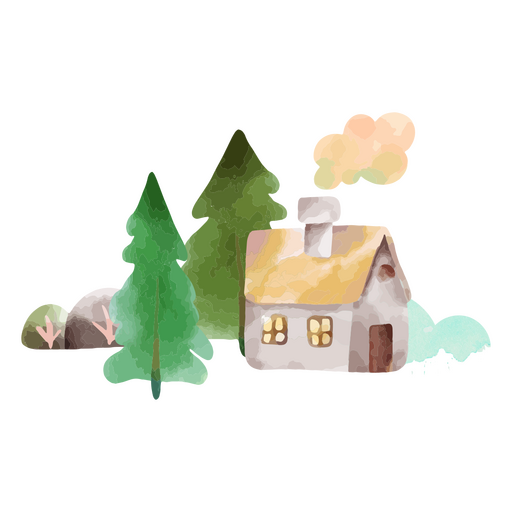
Winter weather trees cabin nature PNG Design
Choose a folder
All favorites
Create new
Save
Winter weather trees cabin nature PNG Design
Premium
Wildlife double exposure monochromatic elements
Choose a folder
All favorites
Create new
Save
Wildlife double exposure monochromatic elements
Premium
Nature Color Flashcard Design Pack
Choose a folder
All favorites
Create new
Save
Nature Color Flashcard Design Pack
Premium
Carnival Attraction Flat Elements Set
Choose a folder
All favorites
Create new
Save
Carnival Attraction Flat Elements Set
Premium
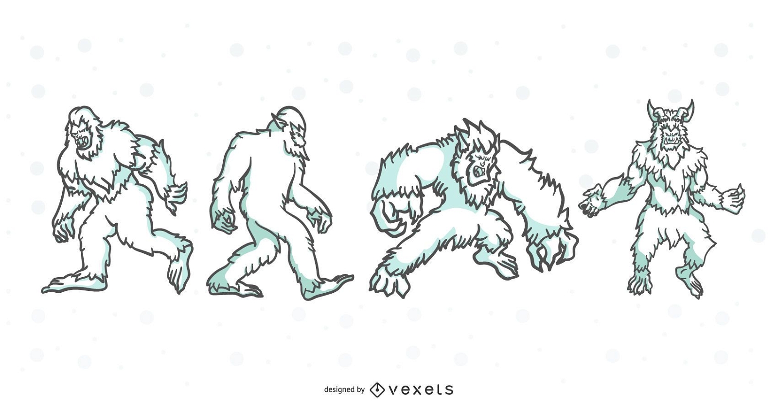
Folklore Creatures Stroke Illustration Set
Choose a folder
All favorites
Create new
Save
Folklore Creatures Stroke Illustration Set
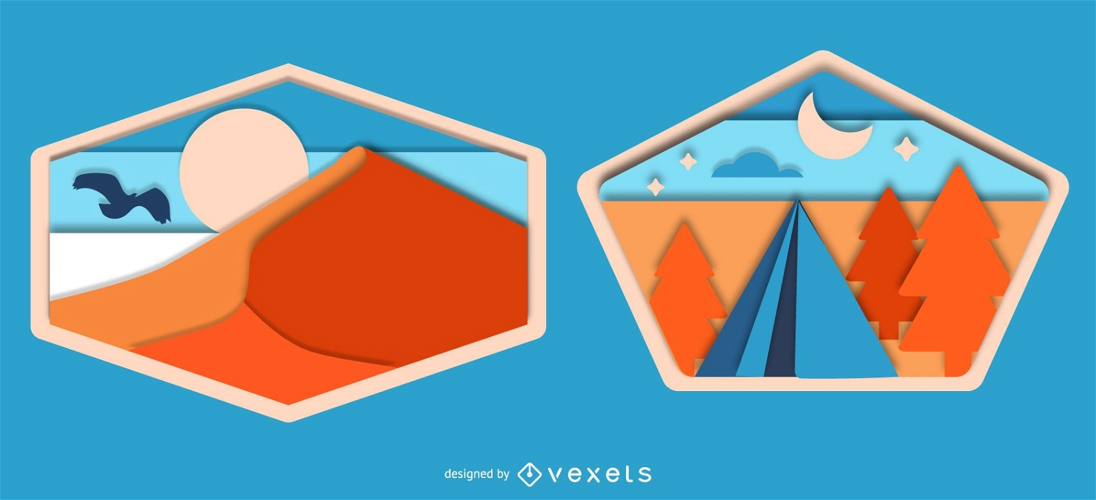
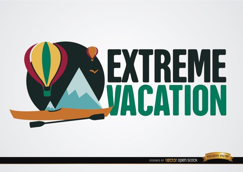
Extreme vacation banner
Choose a folder
All favorites
Create new
Save
Extreme vacation banner
Snowboarding in the Mountains Wallpaper
Choose a folder
All favorites
Create new
Save
Snowboarding in the Mountains Wallpaper
Editable text
Print ready
for Merch
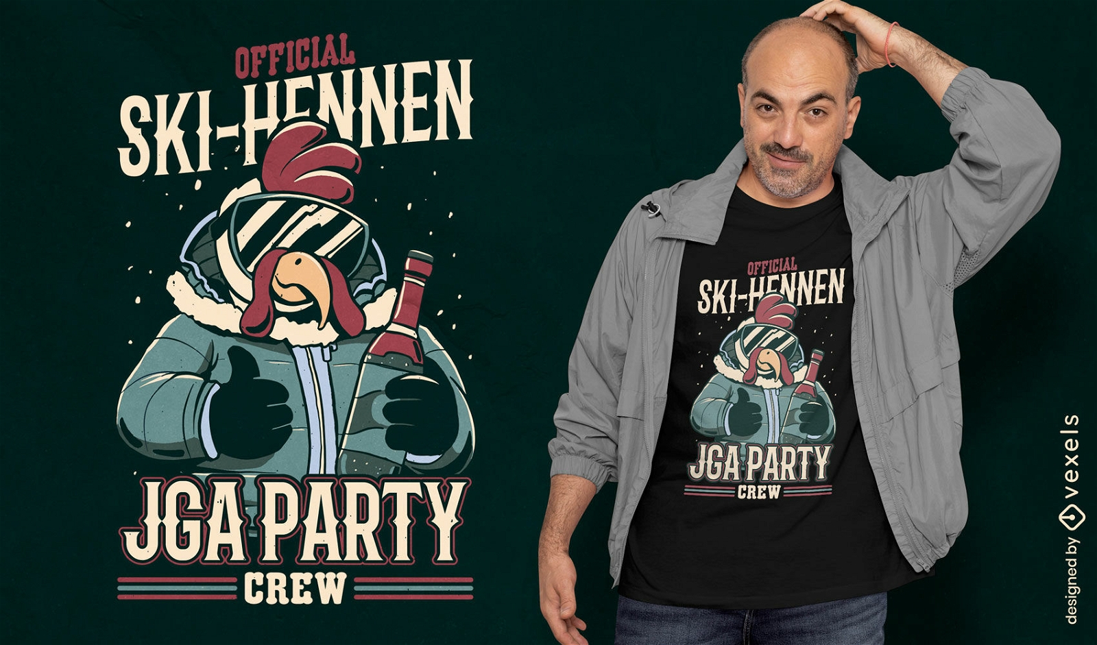
Ski party crew t-shirt design
Choose a folder
All favorites
Create new
Save
Ski party crew t-shirt design
Premium
The walking gnome PNG Design
Choose a folder
All favorites
Create new
Save
The walking gnome PNG Design
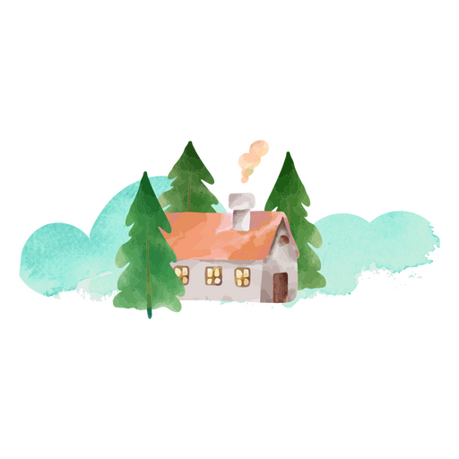
Winter tree cabin nature PNG Design
Choose a folder
All favorites
Create new
Save
Winter tree cabin nature PNG Design
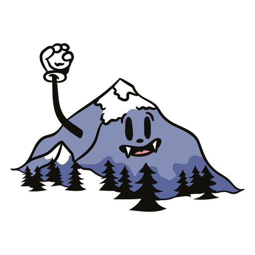
Happy mountain cartoon nature PNG Design
Choose a folder
All favorites
Create new
Save
Happy mountain cartoon nature PNG Design
Premium
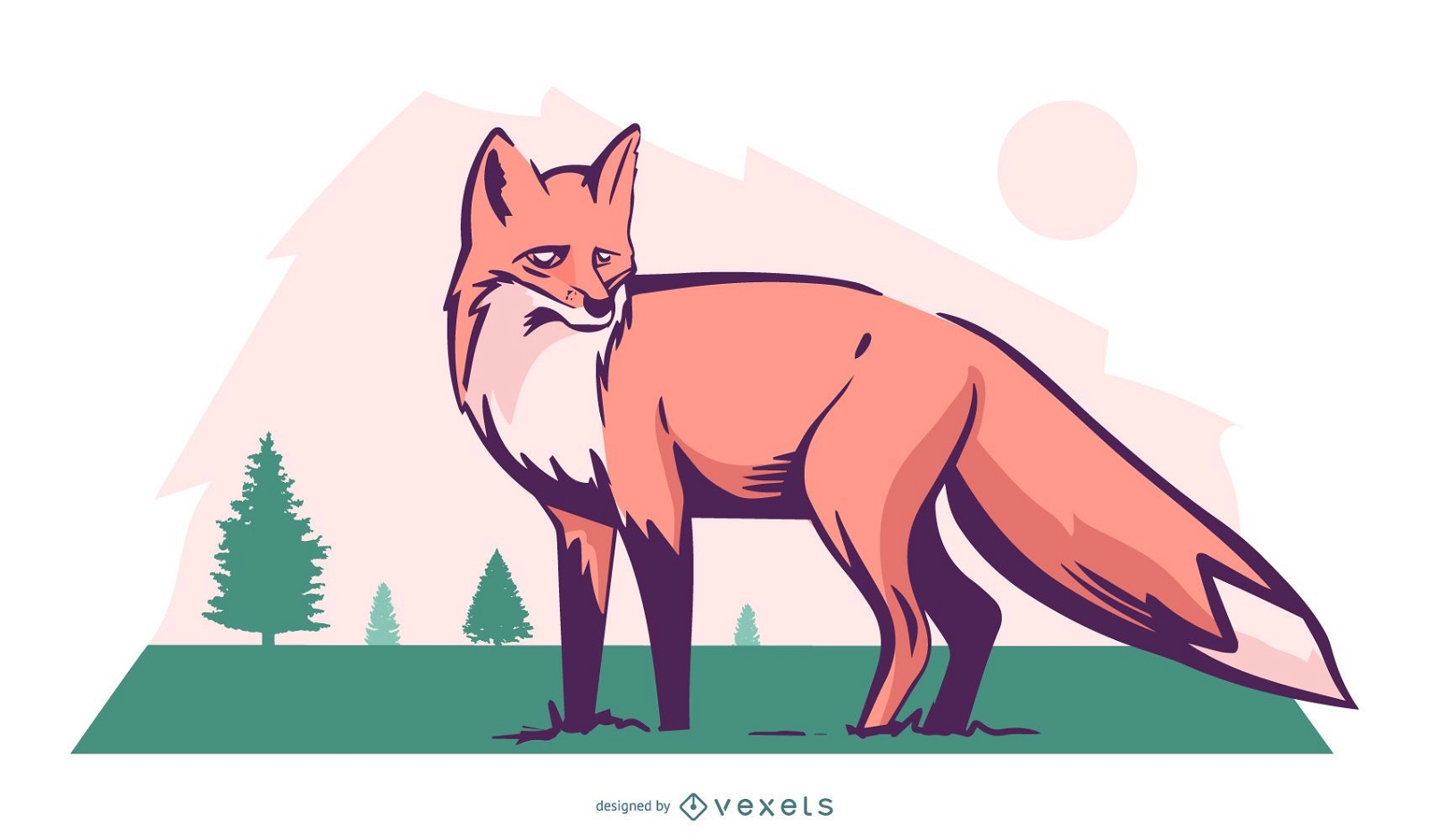
Fox nature illustration design
Choose a folder
All favorites
Create new
Save
Fox nature illustration design
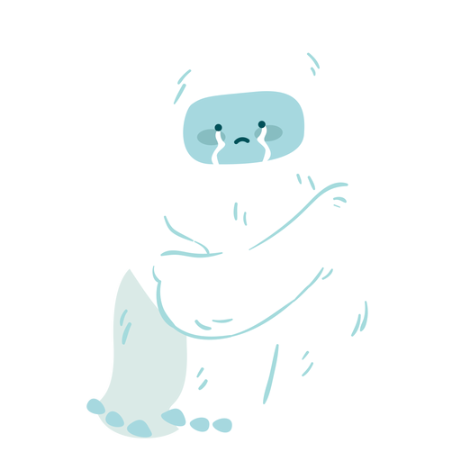
Cute crying yeti PNG Design
Choose a folder
All favorites
Create new
Save
Cute crying yeti PNG Design
Premium
Snow landscape stroke badge set
Choose a folder
All favorites
Create new
Save
Snow landscape stroke badge set
Premium
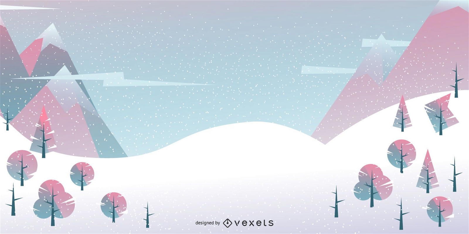
Geometric winter landscape background
Choose a folder
All favorites
Create new
Save
Geometric winter landscape background
Premium
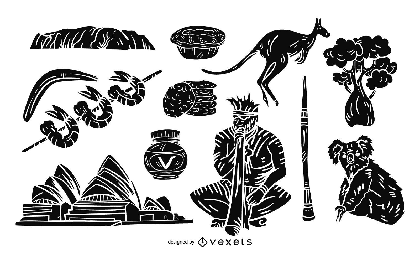
Iconic Australia Illustration
Choose a folder
All favorites
Create new
Save
Iconic Australia Illustration
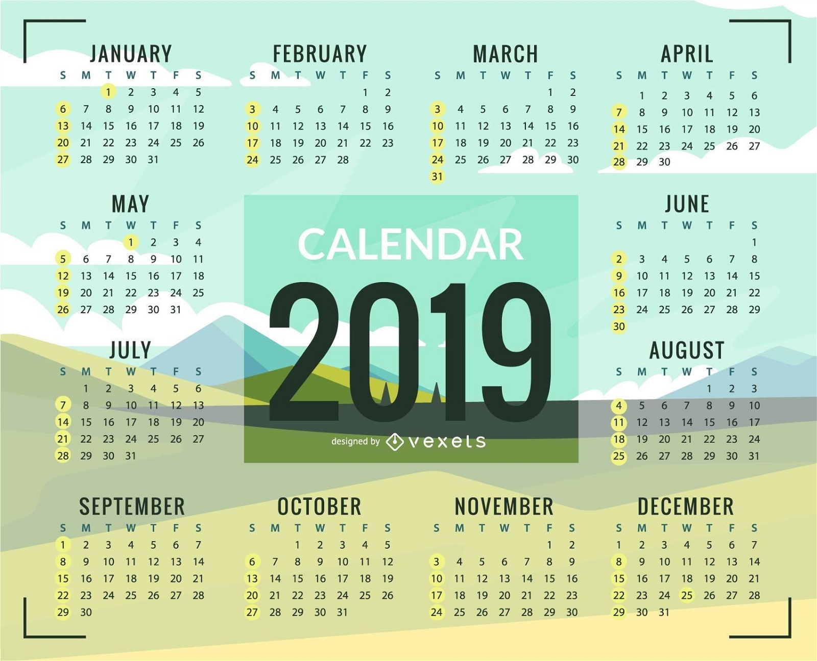
Green plains 2019 Calendar Design
Choose a folder
All favorites
Create new
Save
Green plains 2019 Calendar Design
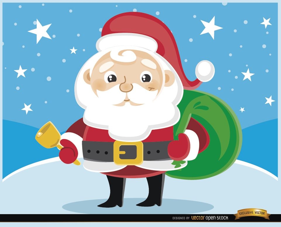
Cartoon Santa Claus cowbell
Choose a folder
All favorites
Create new
Save
Cartoon Santa Claus cowbell
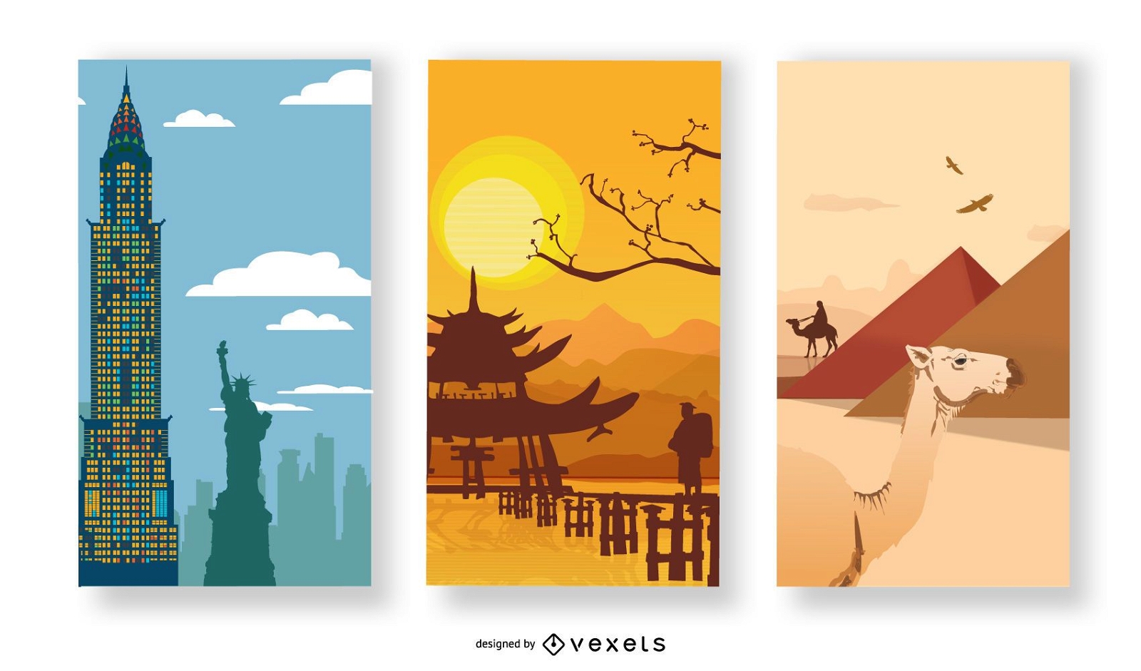
New York Chinese Wall and Egyptian Landscape
Choose a folder
All favorites
Create new
Save
New York Chinese Wall and Egyptian Landscape
Editable text
Print ready
Premium
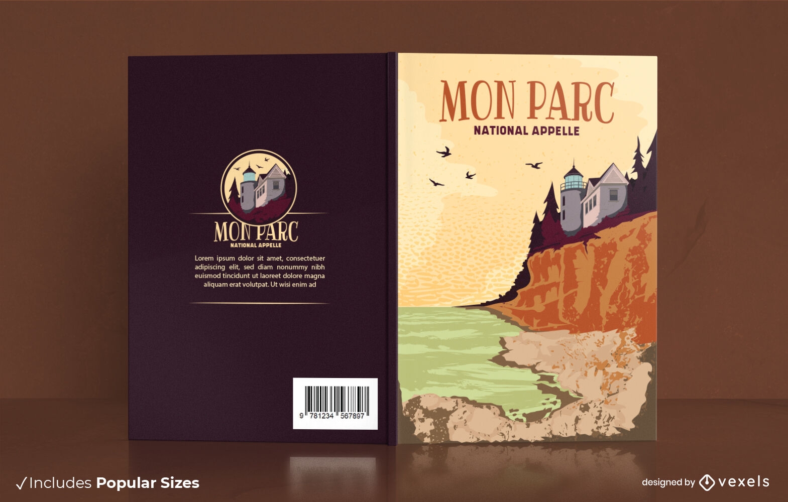
Acadia national park book cover design
Choose a folder
All favorites
Create new
Save
Acadia national park book cover design
Editable text
Print ready
Premium
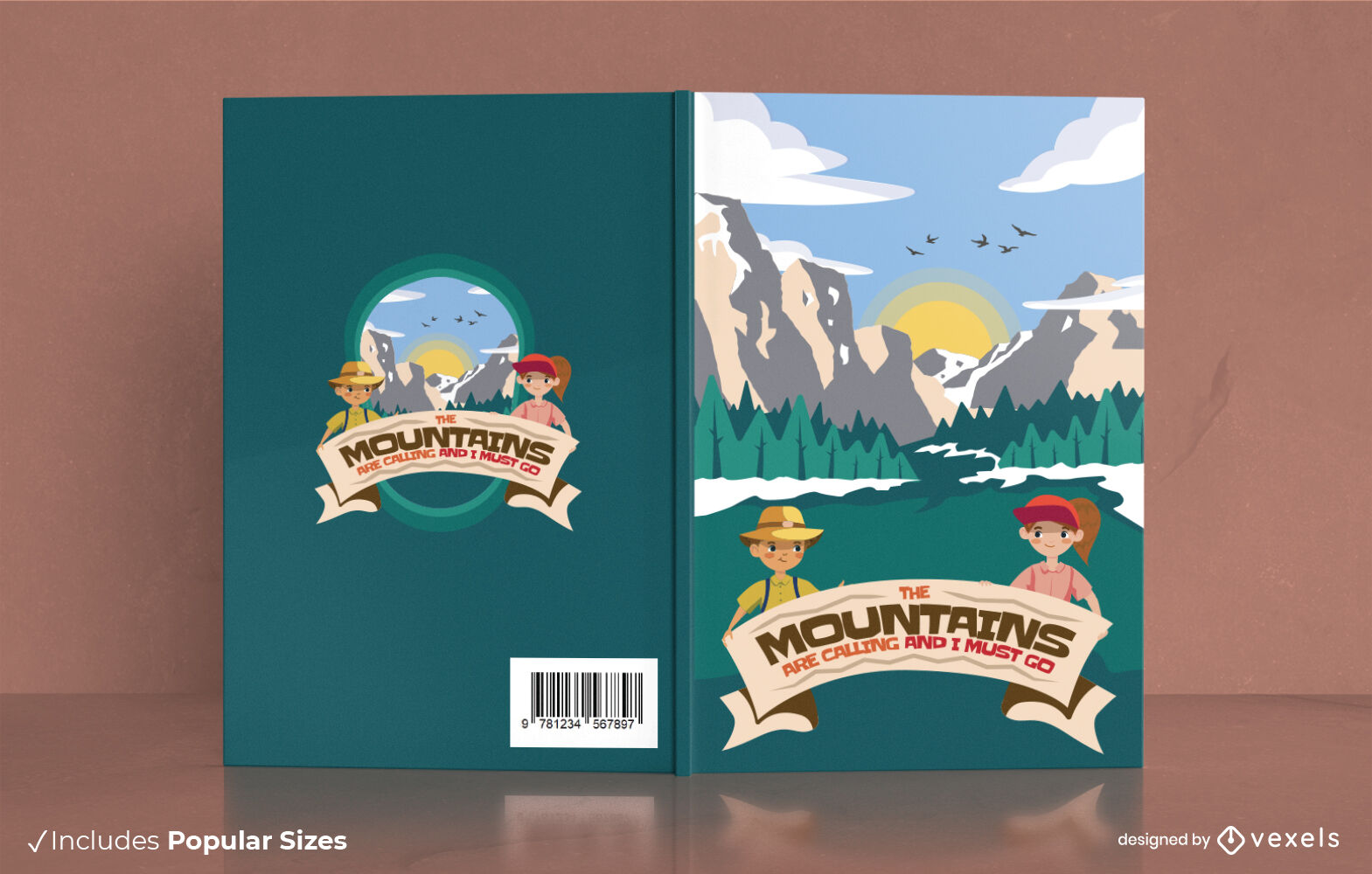
Happy camper children book cover design
Choose a folder
All favorites
Create new
Save
Happy camper children book cover design
Beach hair camping quote badge PNG Design
Choose a folder
All favorites
Create new
Save
Beach hair camping quote badge PNG Design
Premium
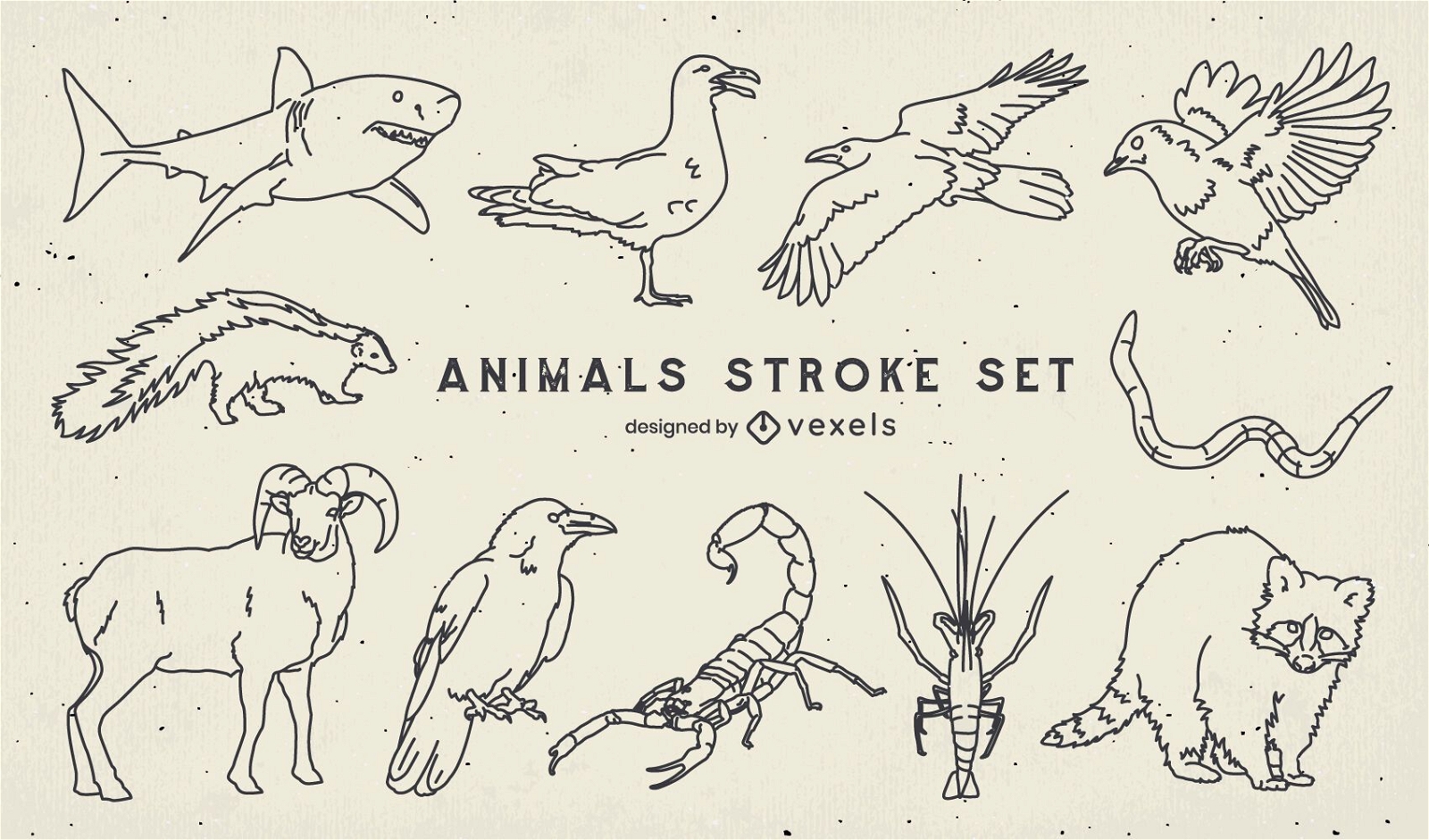
Set of stroke wild animals
Choose a folder
All favorites
Create new
Save
Set of stroke wild animals
Simple polygonal jumping cougar icon PNG Design
Choose a folder
All favorites
Create new
Save
Simple polygonal jumping cougar icon PNG Design
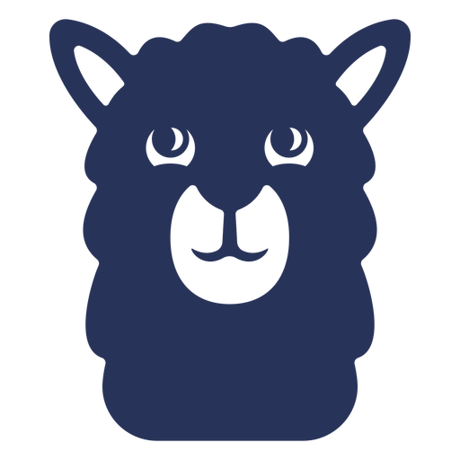
Cute llama alpaca face PNG Design
Choose a folder
All favorites
Create new
Save
Cute llama alpaca face PNG Design
Boost Your Business
With The Leading Graphic Platform For Merch.
SEE PLANS
Next
of 28
prev page
next page