Design Library
New Merch Designs
T-Shirts
Vectors
Trending Merch Designs
PNGs & SVGs
Mockups
T-Shirt PSD Templates
Explore Designs
KDP Designs
Posters
Mugs
Phone Cases
Tote Bags
Pillows
Design Tools
Merch Designer
New!
Mockup Generator
AI Design Generator
Image Vectorizer
Quote Generator
T-Shirt Maker (Old)
Resources
Merch Digest
Blog
Help Center
Learn About Merch
Feedback
Corporate Solutions
Enterprise
API Access
Design Studio
Bulk Design Production
Pricing
Loading...
Sign Up
Login
All
mapa
Design Library
New Merch Designs
T-Shirts
Vectors
Trending Merch Designs
PNGs & SVGs
Mockups
T-Shirt PSD Templates
Explore Designs
KDP Designs
Posters
Mugs
Phone Cases
Tote Bags
Pillows
Design Tools
Merch Designer
New!
Mockup Generator
AI Design Generator
Image Vectorizer
Quote Generator
T-Shirt Maker (Old)
Resources
Merch Digest
Blog
Help Center
Learn About Merch
Feedback
Corporate Solutions
Enterprise
API Access
Design Studio
Bulk Design Production
PLANS
All
mapa
2001 mapa designs graphics for t-shirt and print on demand merch
Download mapa t-shirt designs and other merch graphics like book covers, phone cases, tote bags and more.
Sort by
Most relevant
Sponsored results by
Get 15% off with code: VEXELS15
Show more
2016 logistics calendar tempalte
Choose a folder
All favorites
Create new
Save
2016 logistics calendar tempalte
Premium
Black and white illustration of a globe PNG Design
Choose a folder
All favorites
Create new
Save
Black and white illustration of a globe PNG Design
Premium
The emperor tarot card design PNG Design
Choose a folder
All favorites
Create new
Save
The emperor tarot card design PNG Design
Premium
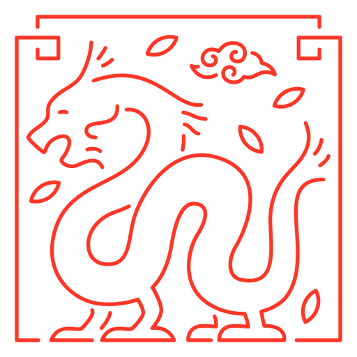
The eastern sign of dragon PNG Design
Choose a folder
All favorites
Create new
Save
The eastern sign of dragon PNG Design
Premium
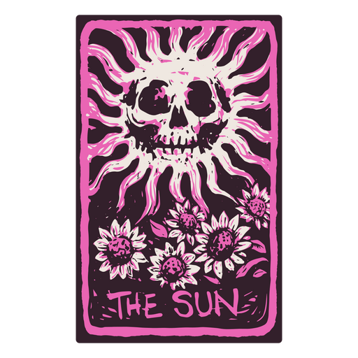
The Sun card in a skeleton-themed tarot PNG Design
Choose a folder
All favorites
Create new
Save
The Sun card in a skeleton-themed tarot PNG Design
Premium
Stroke compass divider PNG Design
Choose a folder
All favorites
Create new
Save
Stroke compass divider PNG Design
Premium
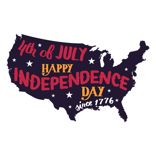
4th of july happy independence day 1776 country PNG Design
Choose a folder
All favorites
Create new
Save
4th of july happy independence day 1776 country PNG Design
Premium
Businessman showing globe PNG Design
Choose a folder
All favorites
Create new
Save
Businessman showing globe PNG Design
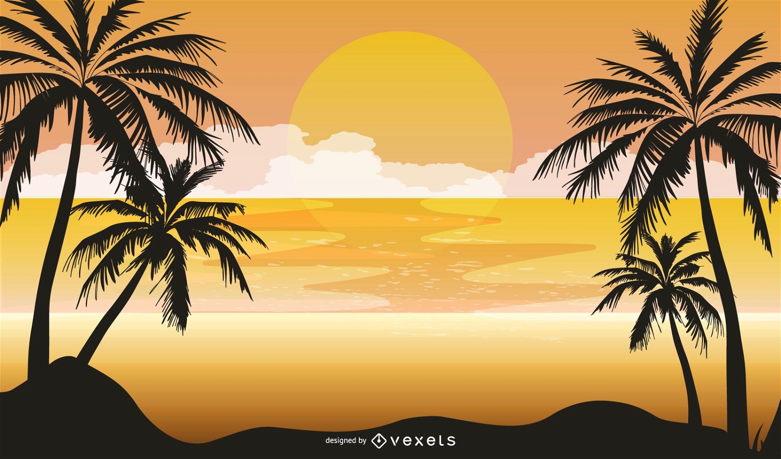
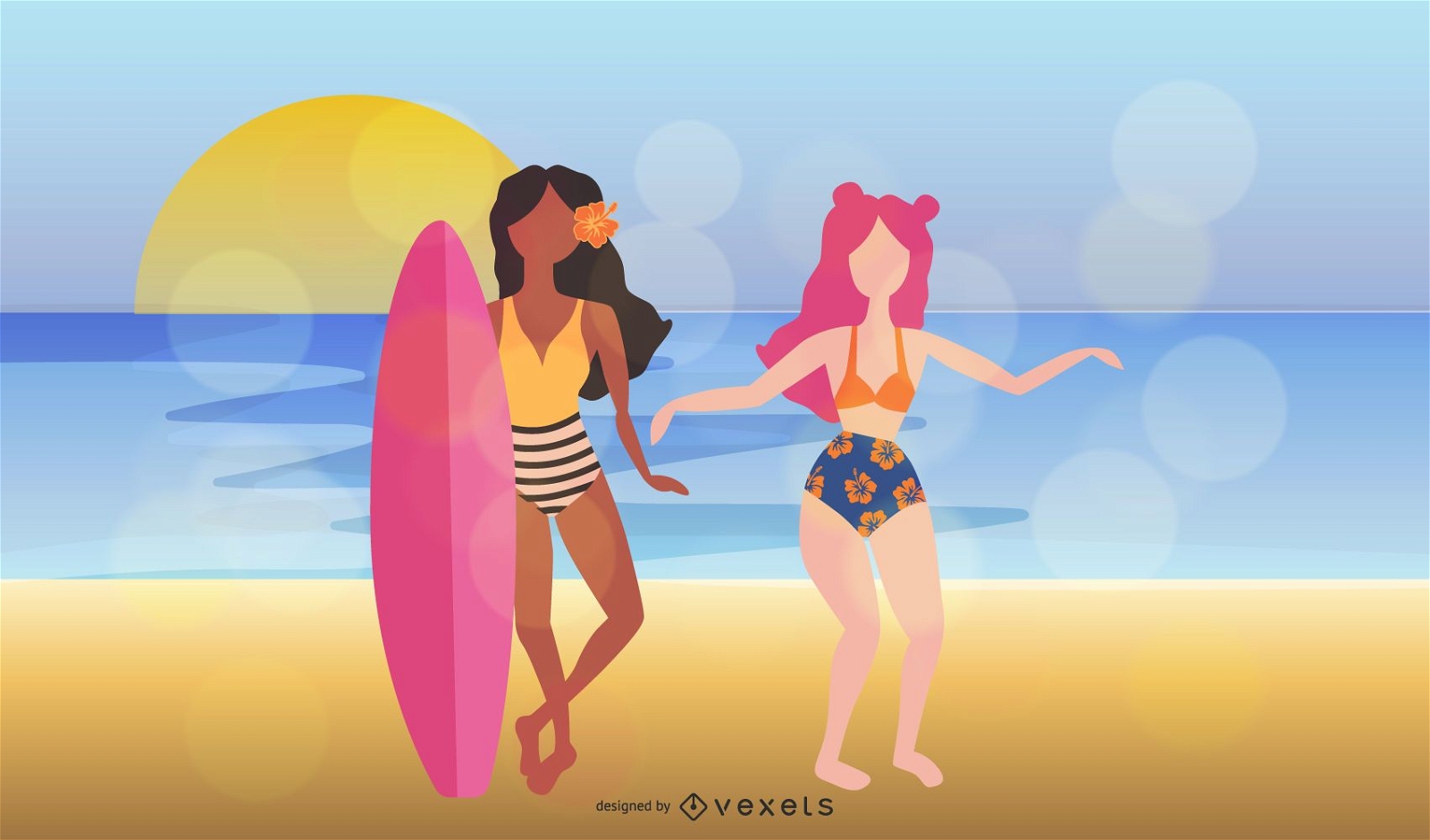
Summer Dream Vectors
Choose a folder
All favorites
Create new
Save
Summer Dream Vectors
Premium
Virgo sign in the western horoscope PNG Design
Choose a folder
All favorites
Create new
Save
Virgo sign in the western horoscope PNG Design
Premium
Sagitarius sign in the horoscope PNG Design
Choose a folder
All favorites
Create new
Save
Sagitarius sign in the horoscope PNG Design
Premium
Fortune teller hands PNG Design
Choose a folder
All favorites
Create new
Save
Fortune teller hands PNG Design
Premium
Bridge above the river line art PNG Design
Choose a folder
All favorites
Create new
Save
Bridge above the river line art PNG Design
Land of the free home of the brave flat badge PNG Design
Choose a folder
All favorites
Create new
Save
Land of the free home of the brave flat badge PNG Design
Filled stroke compass open PNG Design
Choose a folder
All favorites
Create new
Save
Filled stroke compass open PNG Design
Premium
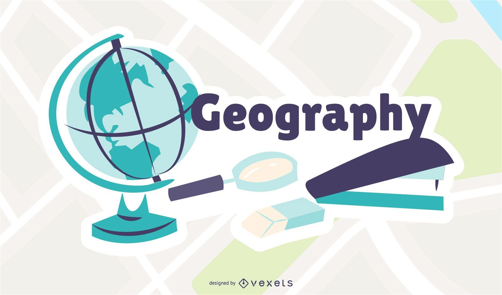
Geography Cartoon Illustration
Choose a folder
All favorites
Create new
Save
Geography Cartoon Illustration
140 thin line social media icons collection
Choose a folder
All favorites
Create new
Save
140 thin line social media icons collection
Summer Dream Vectors 3
Choose a folder
All favorites
Create new
Save
Summer Dream Vectors 3
Premium
Aquarius sign in the horoscope PNG Design
Choose a folder
All favorites
Create new
Save
Aquarius sign in the horoscope PNG Design
'Merica badge cut out PNG Design
Choose a folder
All favorites
Create new
Save
'Merica badge cut out PNG Design
Globe flat icon PNG Design
Choose a folder
All favorites
Create new
Save
Globe flat icon PNG Design
Ecology farm logo template
Choose a folder
All favorites
Create new
Save
Ecology farm logo template
Summer Dream Vectors 2
Choose a folder
All favorites
Create new
Save
Summer Dream Vectors 2
Premium
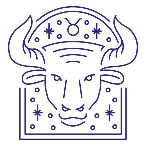
Taurus sign in the horoscope PNG Design
Choose a folder
All favorites
Create new
Save
Taurus sign in the horoscope PNG Design
Premium
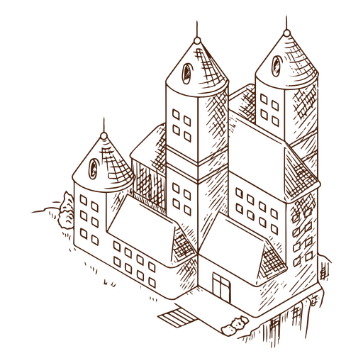
Antique castle line art PNG Design
Choose a folder
All favorites
Create new
Save
Antique castle line art PNG Design
Premium
The Hanged Man card in a skeleton-themed tarot PNG Design
Choose a folder
All favorites
Create new
Save
The Hanged Man card in a skeleton-themed tarot PNG Design
Editable text
Premium
Globe logistics logo template
Choose a folder
All favorites
Create new
Save
Globe logistics logo template
American flag in map filled stroke PNG Design
Choose a folder
All favorites
Create new
Save
American flag in map filled stroke PNG Design
America badge cut out PNG Design
Choose a folder
All favorites
Create new
Save
America badge cut out PNG Design
World map stroke PNG Design
Choose a folder
All favorites
Create new
Save
World map stroke PNG Design
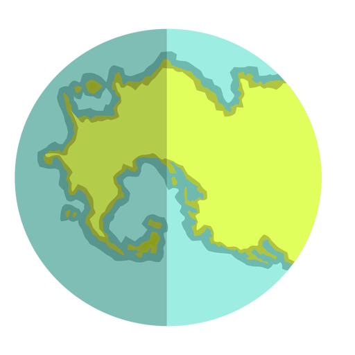
Archaic eon earth flat PNG Design
Choose a folder
All favorites
Create new
Save
Archaic eon earth flat PNG Design
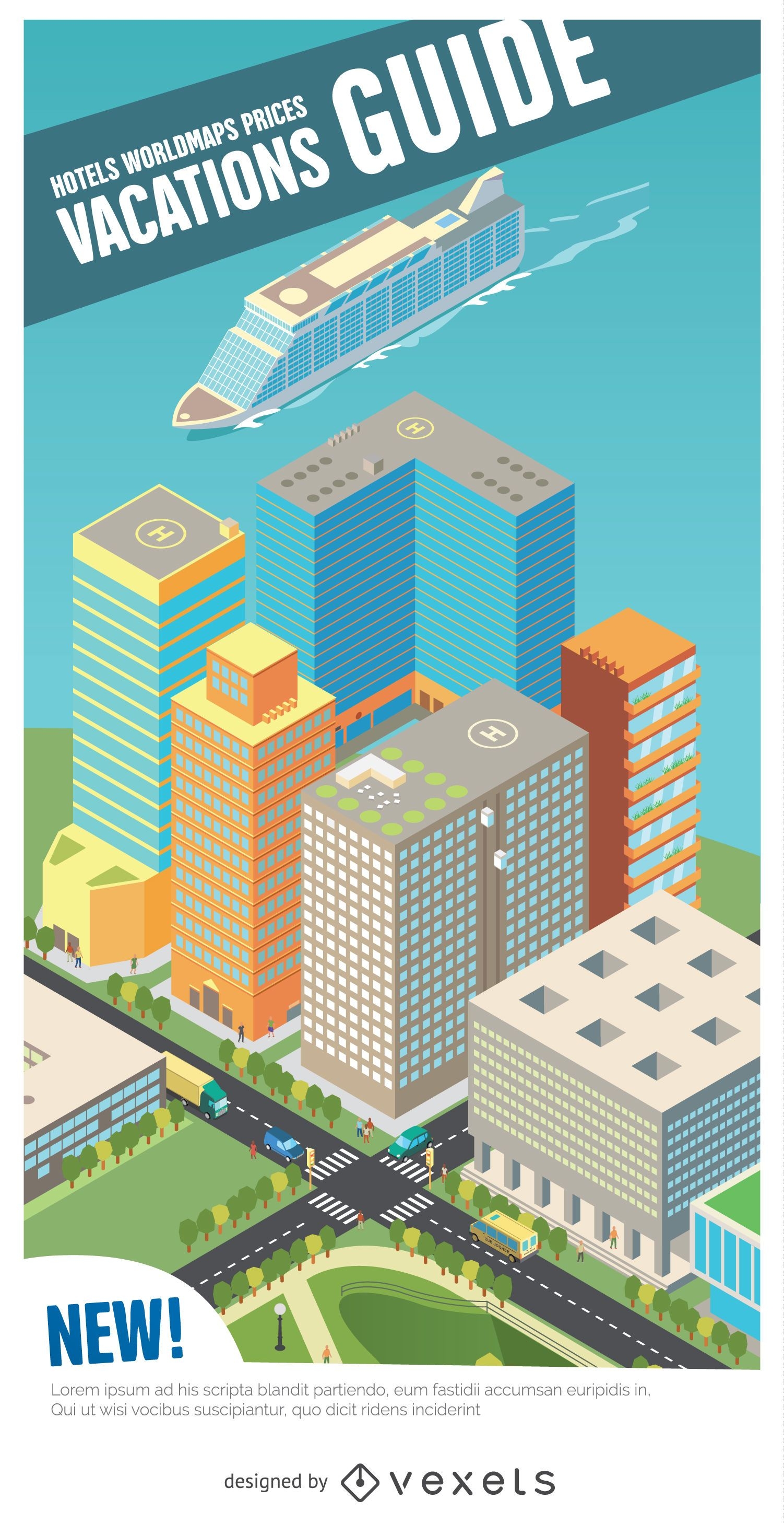
Vactations guide isometric harbour
Choose a folder
All favorites
Create new
Save
Vactations guide isometric harbour
Premium
Pink globe with star PNG Design
Choose a folder
All favorites
Create new
Save
Pink globe with star PNG Design
Premium
The state of utah with the word utah on it PNG Design
Choose a folder
All favorites
Create new
Save
The state of utah with the word utah on it PNG Design
Premium
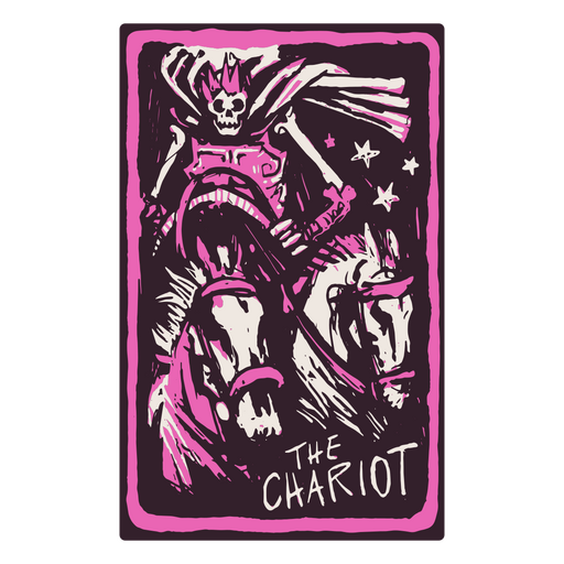
The chariot tarot card design PNG Design
Choose a folder
All favorites
Create new
Save
The chariot tarot card design PNG Design
Premium
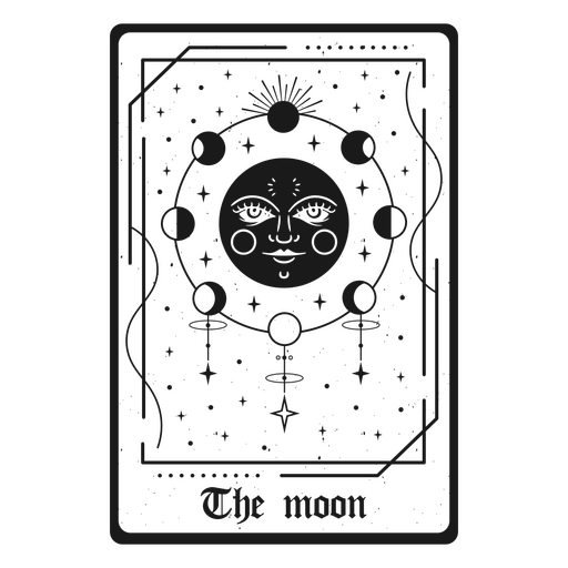
Tarot card with symbols of the Moon PNG Design
Choose a folder
All favorites
Create new
Save
Tarot card with symbols of the Moon PNG Design
Premium
Decorative moon design PNG Design
Choose a folder
All favorites
Create new
Save
Decorative moon design PNG Design
Premium
Esoteric moon card PNG Design
Choose a folder
All favorites
Create new
Save
Esoteric moon card PNG Design
Premium
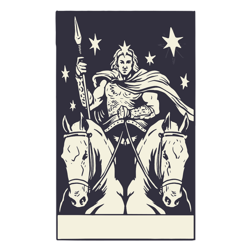
The Chariot card in a skeleton-themed tarot PNG Design
Choose a folder
All favorites
Create new
Save
The Chariot card in a skeleton-themed tarot PNG Design
Geometric Latin America PNG Design
Choose a folder
All favorites
Create new
Save
Geometric Latin America PNG Design
Web 2.0 vector icons
Choose a folder
All favorites
Create new
Save
Web 2.0 vector icons
Premium
Gemini sign in the horoscope PNG Design
Choose a folder
All favorites
Create new
Save
Gemini sign in the horoscope PNG Design
Premium
Pisces sign in the horoscope PNG Design
Choose a folder
All favorites
Create new
Save
Pisces sign in the horoscope PNG Design
Premium
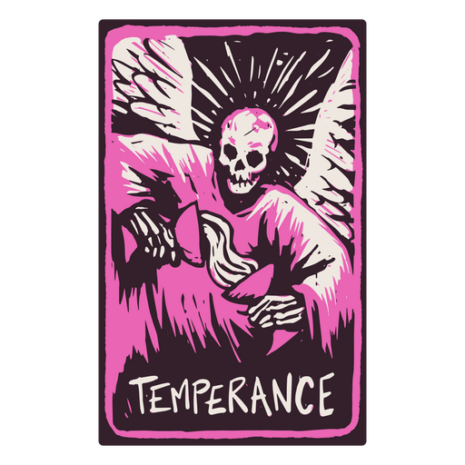
The Temperance card in a skeleton-themed tarot PNG Design
Choose a folder
All favorites
Create new
Save
The Temperance card in a skeleton-themed tarot PNG Design
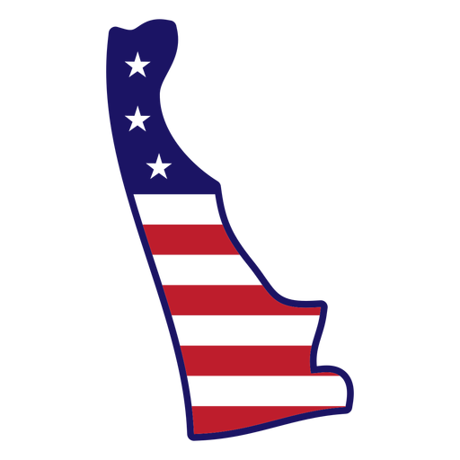
Delaware state color stroke PNG Design
Choose a folder
All favorites
Create new
Save
Delaware state color stroke PNG Design
Premium
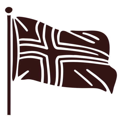
Norway waving flag design PNG Design
Choose a folder
All favorites
Create new
Save
Norway waving flag design PNG Design
Pirate telescope flat PNG Design
Choose a folder
All favorites
Create new
Save
Pirate telescope flat PNG Design
AI generated, curated by our designers
for Merch
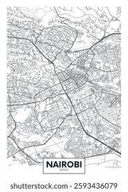
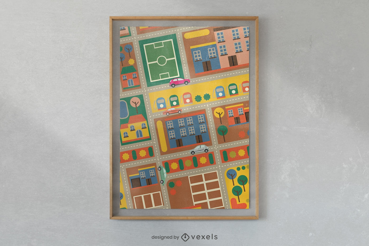
Colorful urban sketch poster design
Choose a folder
All favorites
Create new
Save
Colorful urban sketch poster design
Premium
The state of oregon is shown on a green background PNG Design
Choose a folder
All favorites
Create new
Save
The state of oregon is shown on a green background PNG Design
Earth archaic eon flat PNG Design
Choose a folder
All favorites
Create new
Save
Earth archaic eon flat PNG Design
Boost Your Business
With The Leading Graphic Platform For Merch.
SEE PLANS
Next
of 41
prev page
next page