Design Library
New Merch Designs
T-Shirts
Vectors
Trending Merch Designs
PNGs & SVGs
Mockups
T-Shirt PSD Templates
Explore Designs
KDP Designs
Posters
Mugs
Phone Cases
Tote Bags
Pillows
Design Tools
Merch Designer
New!
Mockup Generator
AI Design Generator
Image Vectorizer
Quote Generator
T-Shirt Maker (Old)
Resources
Merch Digest
Blog
Help Center
Learn About Merch
Feedback
Corporate Solutions
Enterprise
API Access
Design Studio
Bulk Design Production
Pricing
Loading...
Sign Up
Login
All
geografia
Design Library
New Merch Designs
T-Shirts
Vectors
Trending Merch Designs
PNGs & SVGs
Mockups
T-Shirt PSD Templates
Explore Designs
KDP Designs
Posters
Mugs
Phone Cases
Tote Bags
Pillows
Design Tools
Merch Designer
New!
Mockup Generator
AI Design Generator
Image Vectorizer
Quote Generator
T-Shirt Maker (Old)
Resources
Merch Digest
Blog
Help Center
Learn About Merch
Feedback
Corporate Solutions
Enterprise
API Access
Design Studio
Bulk Design Production
PLANS
All
geografia
778 geografia designs graphics for t-shirt and print on demand merch
Download geografia t-shirt designs and other merch graphics like book covers, phone cases, tote bags and more.
Sort by
Most relevant
Sponsored results by
Get 15% off with code: VEXELS15
Show more
Premium
Stylish silhouette of south korea map design PNG Design
Choose a folder
All favorites
Create new
Save
Stylish silhouette of south korea map design PNG Design
Premium
Stylized black silhouette of haiti map design PNG Design
Choose a folder
All favorites
Create new
Save
Stylized black silhouette of haiti map design PNG Design
Premium
Stylized silhouette of england PNG Design
Choose a folder
All favorites
Create new
Save
Stylized silhouette of england PNG Design
Premium
Stylized map silhouette of indonesia PNG Design
Choose a folder
All favorites
Create new
Save
Stylized map silhouette of indonesia PNG Design
Premium
Silhouette map of iraq design in bold black PNG Design
Choose a folder
All favorites
Create new
Save
Silhouette map of iraq design in bold black PNG Design
Premium
Silhouette of a unique island shape PNG Design
Choose a folder
All favorites
Create new
Save
Silhouette of a unique island shape PNG Design
Premium
Stylized croatia map silhouette design PNG Design
Choose a folder
All favorites
Create new
Save
Stylized croatia map silhouette design PNG Design
Premium
Stylized silhouette of senegal map design PNG Design
Choose a folder
All favorites
Create new
Save
Stylized silhouette of senegal map design PNG Design
Premium
Stylized black silhouette map of wales PNG Design
Choose a folder
All favorites
Create new
Save
Stylized black silhouette map of wales PNG Design
Premium
Silhouette of a country map design PNG Design
Choose a folder
All favorites
Create new
Save
Silhouette of a country map design PNG Design
Premium
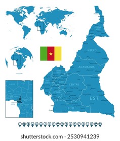
Stylized silhouette of cameroon map design PNG Design
Choose a folder
All favorites
Create new
Save
Stylized silhouette of cameroon map design PNG Design
Premium
Stylized silhouette of a unique landmass PNG Design
Choose a folder
All favorites
Create new
Save
Stylized silhouette of a unique landmass PNG Design
Premium
Stylized silhouette of angola's map PNG Design
Choose a folder
All favorites
Create new
Save
Stylized silhouette of angola's map PNG Design
Premium
Stylized silhouette of arizona state PNG Design
Choose a folder
All favorites
Create new
Save
Stylized silhouette of arizona state PNG Design
Premium
Bold silhouette map design of albania PNG Design
Choose a folder
All favorites
Create new
Save
Bold silhouette map design of albania PNG Design
Premium
Stylized silhouette of poland's map PNG Design
Choose a folder
All favorites
Create new
Save
Stylized silhouette of poland's map PNG Design
Premium
Silhouette map of north korea PNG Design
Choose a folder
All favorites
Create new
Save
Silhouette map of north korea PNG Design
Premium
Stylized silhouette map of qatar PNG Design
Choose a folder
All favorites
Create new
Save
Stylized silhouette map of qatar PNG Design
Premium
Stylized silhouette of romania PNG Design
Choose a folder
All favorites
Create new
Save
Stylized silhouette of romania PNG Design
Premium
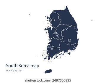
Minimalist south korea silhouette design PNG Design
Choose a folder
All favorites
Create new
Save
Minimalist south korea silhouette design PNG Design
Premium
Stylized silhouette of nigeria PNG Design
Choose a folder
All favorites
Create new
Save
Stylized silhouette of nigeria PNG Design
Premium
Stylish silhouette map of estonia PNG Design
Choose a folder
All favorites
Create new
Save
Stylish silhouette map of estonia PNG Design
Premium
Stylized silhouette of ghana map design PNG Design
Choose a folder
All favorites
Create new
Save
Stylized silhouette of ghana map design PNG Design
Premium
Stylized silhouette of hungary map design PNG Design
Choose a folder
All favorites
Create new
Save
Stylized silhouette of hungary map design PNG Design
Premium
Stylized silhouette of indonesia map art PNG Design
Choose a folder
All favorites
Create new
Save
Stylized silhouette of indonesia map art PNG Design
Premium
Stylized island silhouette design PNG Design
Choose a folder
All favorites
Create new
Save
Stylized island silhouette design PNG Design
Premium
Stylized silhouette map of wales PNG Design
Choose a folder
All favorites
Create new
Save
Stylized silhouette map of wales PNG Design
Premium
Silhouette map of iran design PNG Design
Choose a folder
All favorites
Create new
Save
Silhouette map of iran design PNG Design
Premium
Silhouette map of ivory coast design PNG Design
Choose a folder
All favorites
Create new
Save
Silhouette map of ivory coast design PNG Design
Premium
Silhouette of a geographic shape design PNG Design
Choose a folder
All favorites
Create new
Save
Silhouette of a geographic shape design PNG Design
Premium
Intricate silhouette of antarctica design PNG Design
Choose a folder
All favorites
Create new
Save
Intricate silhouette of antarctica design PNG Design
Edit Online
Explorative globe design for adventure seekers t-shirt design template
Choose a folder
All favorites
Create new
Save
Explorative globe design for adventure seekers t-shirt design template
Premium
Tennessee state plain map PNG Design
Choose a folder
All favorites
Create new
Save
Tennessee state plain map PNG Design
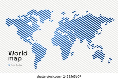
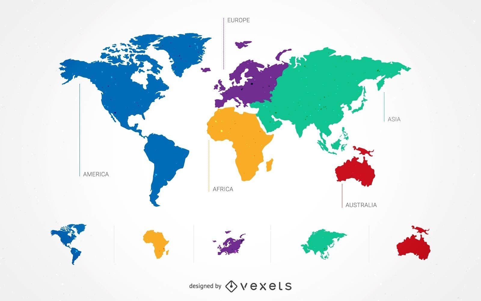
5 Continent World Map Set
Choose a folder
All favorites
Create new
Save
5 Continent World Map Set
Premium
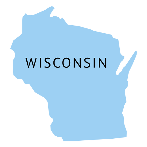
Wisconsin state plain map PNG Design
Choose a folder
All favorites
Create new
Save
Wisconsin state plain map PNG Design
Premium
New jersey state plain map PNG Design
Choose a folder
All favorites
Create new
Save
New jersey state plain map PNG Design
Premium
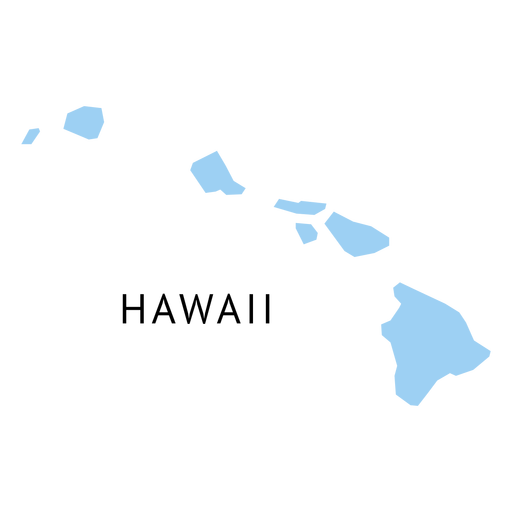
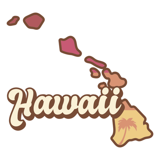
Hawaii state plain map PNG Design
Choose a folder
All favorites
Create new
Save
Hawaii state plain map PNG Design
Premium
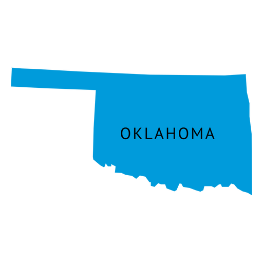
Oklahoma state plain map PNG Design
Choose a folder
All favorites
Create new
Save
Oklahoma state plain map PNG Design
Premium
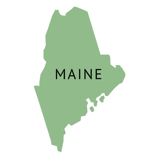
Maine state plain map PNG Design
Choose a folder
All favorites
Create new
Save
Maine state plain map PNG Design
Premium
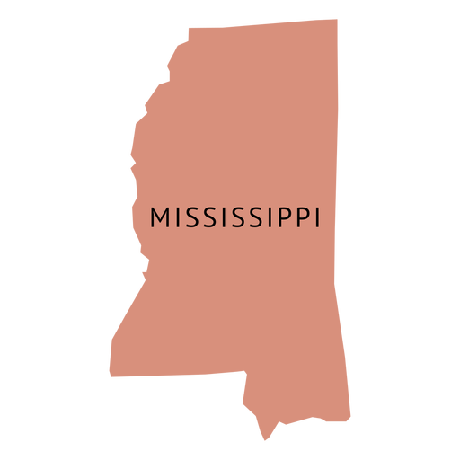
Mississippi state plain map PNG Design
Choose a folder
All favorites
Create new
Save
Mississippi state plain map PNG Design
Premium
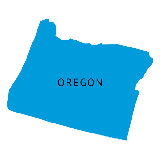
Oregon state plain map PNG Design
Choose a folder
All favorites
Create new
Save
Oregon state plain map PNG Design
Premium
Massachusetts state plain map PNG Design
Choose a folder
All favorites
Create new
Save
Massachusetts state plain map PNG Design
Premium
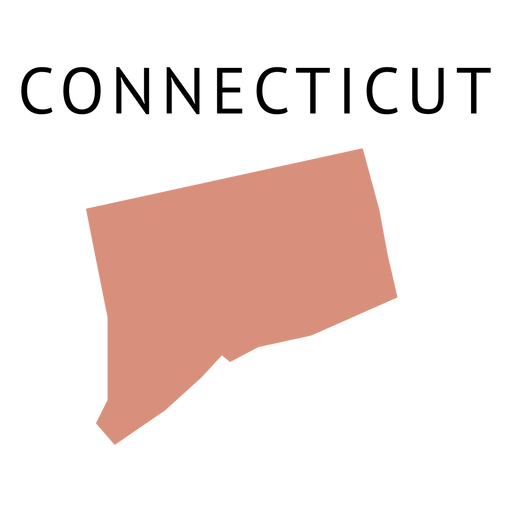
Connecticut state plain map PNG Design
Choose a folder
All favorites
Create new
Save
Connecticut state plain map PNG Design
Premium
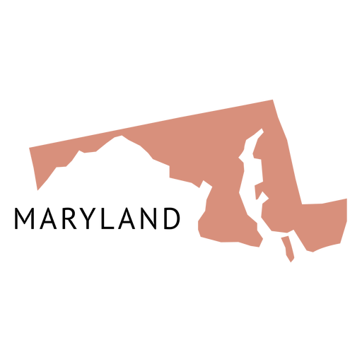
Maryland state plain map PNG Design
Choose a folder
All favorites
Create new
Save
Maryland state plain map PNG Design
Premium
Michigan retro sunset usa states PNG Design
Choose a folder
All favorites
Create new
Save
Michigan retro sunset usa states PNG Design
Premium
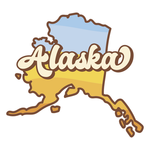
Alaska retro sunset usa states PNG Design
Choose a folder
All favorites
Create new
Save
Alaska retro sunset usa states PNG Design
Premium
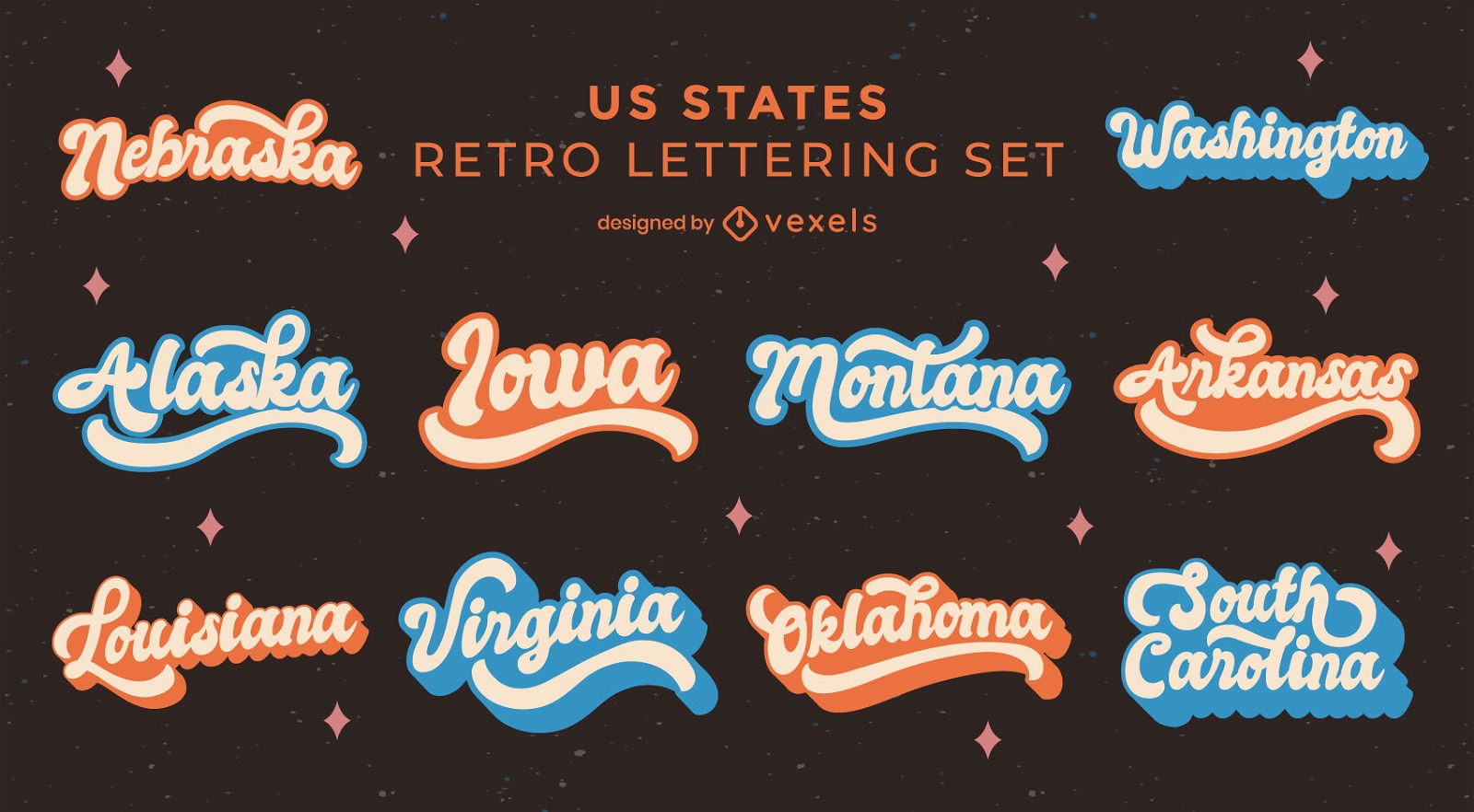
US states retro lettering set
Choose a folder
All favorites
Create new
Save
US states retro lettering set
Premium
Indiana state plain map PNG Design
Choose a folder
All favorites
Create new
Save
Indiana state plain map PNG Design
Premium
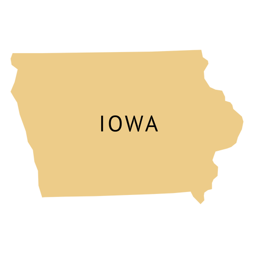
Iowa state plain map PNG Design
Choose a folder
All favorites
Create new
Save
Iowa state plain map PNG Design
Premium
Hawaii retro sunset usa states PNG Design
Choose a folder
All favorites
Create new
Save
Hawaii retro sunset usa states PNG Design
Boost Your Business
With The Leading Graphic Platform For Merch.
SEE PLANS
Next
of 16
prev page
next page