Design Library
New Merch Designs
T-Shirts
Vectors
Trending Merch Designs
PNGs & SVGs
Mockups
T-Shirt PSD Templates
Explore Designs
KDP Designs
Posters
Mugs
Phone Cases
Tote Bags
Pillows
Design Tools
Merch Designer
New!
Mockup Generator
AI Design Generator
Image Vectorizer
Quote Generator
T-Shirt Maker (Old)
Resources
Merch Digest
Blog
Help Center
Learn About Merch
Feedback
Corporate Solutions
Enterprise
API Access
Design Studio
Bulk Design Production
Pricing
Loading...
Sign Up
Login
All
estados
Design Library
New Merch Designs
T-Shirts
Vectors
Trending Merch Designs
PNGs & SVGs
Mockups
T-Shirt PSD Templates
Explore Designs
KDP Designs
Posters
Mugs
Phone Cases
Tote Bags
Pillows
Design Tools
Merch Designer
New!
Mockup Generator
AI Design Generator
Image Vectorizer
Quote Generator
T-Shirt Maker (Old)
Resources
Merch Digest
Blog
Help Center
Learn About Merch
Feedback
Corporate Solutions
Enterprise
API Access
Design Studio
Bulk Design Production
PLANS
All
estados
3410 estados designs graphics for t-shirt and print on demand merch
Download estados t-shirt designs and other merch graphics like book covers, phone cases, tote bags and more.
Sort by
Most relevant
Sponsored results by
Get 15% off with code: VEXELS15
Show more
Premium
4th july award ribbon flat PNG Design
Choose a folder
All favorites
Create new
Save
4th july award ribbon flat PNG Design
Premium
4th july hat lettering icon PNG Design
Choose a folder
All favorites
Create new
Save
4th july hat lettering icon PNG Design
Premium
American top hat icon PNG Design
Choose a folder
All favorites
Create new
Save
American top hat icon PNG Design
Premium
Independence day baseball bats flat PNG Design
Choose a folder
All favorites
Create new
Save
Independence day baseball bats flat PNG Design
Premium
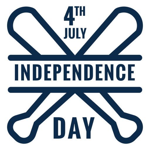
Independence day emblem icon PNG Design
Choose a folder
All favorites
Create new
Save
Independence day emblem icon PNG Design
Premium
Feather inkpot round icon PNG Design
Choose a folder
All favorites
Create new
Save
Feather inkpot round icon PNG Design
PSD Mockup
Premium
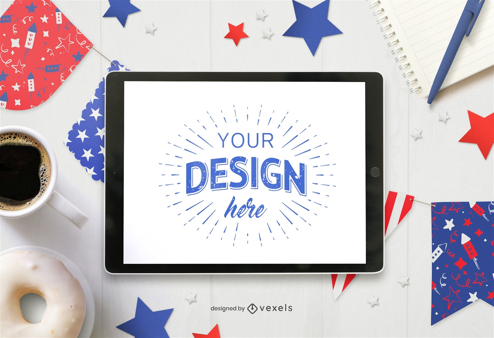
4th of July pennants ipad mockup
Choose a folder
All favorites
Create new
Save
4th of July pennants ipad mockup
Premium
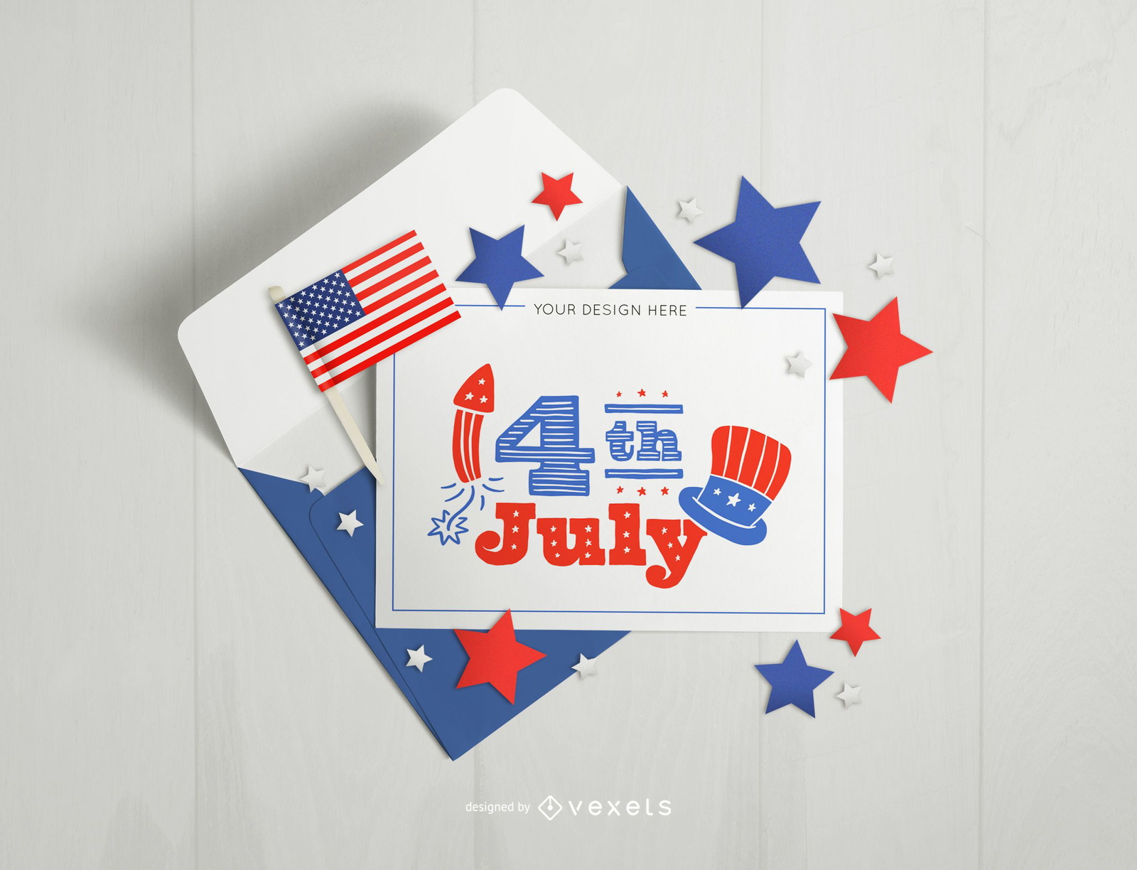
4th of july card and envelope mockup
Choose a folder
All favorites
Create new
Save
4th of july card and envelope mockup
Premium
Party in the usa blue quote PNG Design
Choose a folder
All favorites
Create new
Save
Party in the usa blue quote PNG Design
Premium
Distressed american flag graphic PNG Design
Choose a folder
All favorites
Create new
Save
Distressed american flag graphic PNG Design
Premium
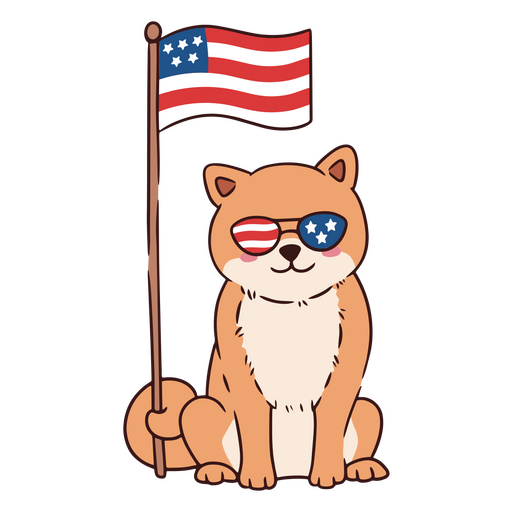
Cool american dog with eyeglasses PNG Design
Choose a folder
All favorites
Create new
Save
Cool american dog with eyeglasses PNG Design
USA patriotic bow tie PNG Design
Choose a folder
All favorites
Create new
Save
USA patriotic bow tie PNG Design
Star ribbon icon PNG Design
Choose a folder
All favorites
Create new
Save
Star ribbon icon PNG Design
Editable text
Print ready
Premium
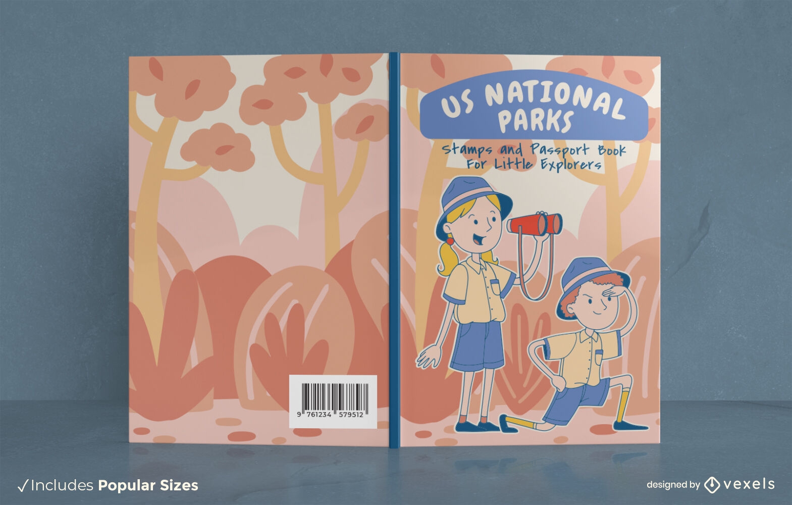
US National Parks explorers book cover design
Choose a folder
All favorites
Create new
Save
US National Parks explorers book cover design
Premium
Simple hot dog food PNG Design
Choose a folder
All favorites
Create new
Save
Simple hot dog food PNG Design
Premium
Simple hot dog bread food PNG Design
Choose a folder
All favorites
Create new
Save
Simple hot dog bread food PNG Design
Premium
Simple hot dog meat food PNG Design
Choose a folder
All favorites
Create new
Save
Simple hot dog meat food PNG Design
Premium
Hot dog meat fast simple food PNG Design
Choose a folder
All favorites
Create new
Save
Hot dog meat fast simple food PNG Design
Premium
Hot dog meat street food PNG Design
Choose a folder
All favorites
Create new
Save
Hot dog meat street food PNG Design
USA elements poosicle character stroke PNG Design
Choose a folder
All favorites
Create new
Save
USA elements poosicle character stroke PNG Design
USA elements hat character stroke PNG Design
Choose a folder
All favorites
Create new
Save
USA elements hat character stroke PNG Design
USA elements balloon characters stroke PNG Design
Choose a folder
All favorites
Create new
Save
USA elements balloon characters stroke PNG Design
USA elements cupcake character stroke PNG Design
Choose a folder
All favorites
Create new
Save
USA elements cupcake character stroke PNG Design
USA elements star characters stroke PNG Design
Choose a folder
All favorites
Create new
Save
USA elements star characters stroke PNG Design
USA elements football ball character stroke PNG Design
Choose a folder
All favorites
Create new
Save
USA elements football ball character stroke PNG Design
USA elements hamburguer character stroke PNG Design
Choose a folder
All favorites
Create new
Save
USA elements hamburguer character stroke PNG Design
One dollar illustration head PNG Design
Choose a folder
All favorites
Create new
Save
One dollar illustration head PNG Design
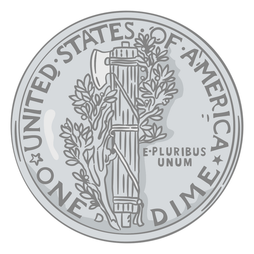
Us coin stroke dime tail PNG Design
Choose a folder
All favorites
Create new
Save
Us coin stroke dime tail PNG Design
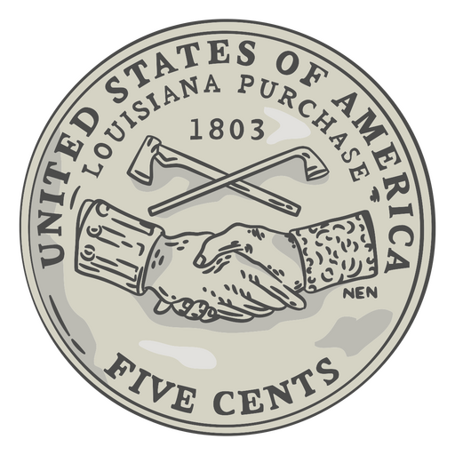
Us coin stroke nickel head PNG Design
Choose a folder
All favorites
Create new
Save
Us coin stroke nickel head PNG Design
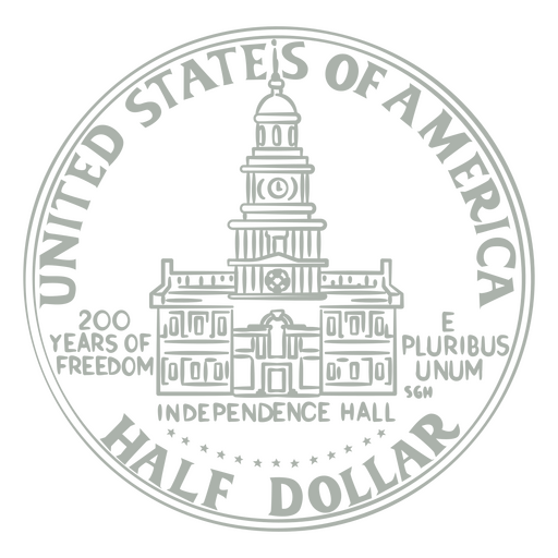
Half dollar stroke tail PNG Design
Choose a folder
All favorites
Create new
Save
Half dollar stroke tail PNG Design
Coin illustration dime tail PNG Design
Choose a folder
All favorites
Create new
Save
Coin illustration dime tail PNG Design
Nickel illustration tail PNG Design
Choose a folder
All favorites
Create new
Save
Nickel illustration tail PNG Design
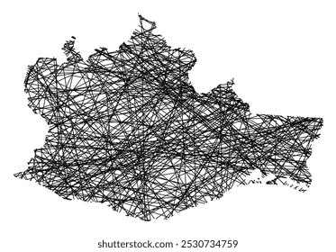
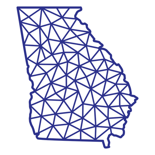
Georgia map polygonal PNG Design
Choose a folder
All favorites
Create new
Save
Georgia map polygonal PNG Design
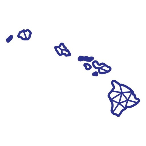
Hawaii map polygonal PNG Design
Choose a folder
All favorites
Create new
Save
Hawaii map polygonal PNG Design
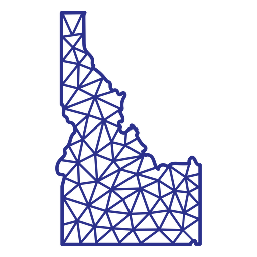
Idaho map polygonal PNG Design
Choose a folder
All favorites
Create new
Save
Idaho map polygonal PNG Design
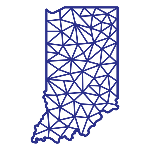
Indiana map polygonal PNG Design
Choose a folder
All favorites
Create new
Save
Indiana map polygonal PNG Design
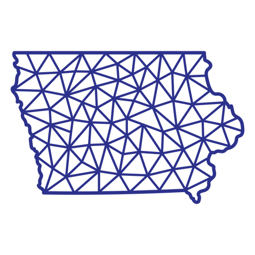
Iowa map polygonal PNG Design
Choose a folder
All favorites
Create new
Save
Iowa map polygonal PNG Design
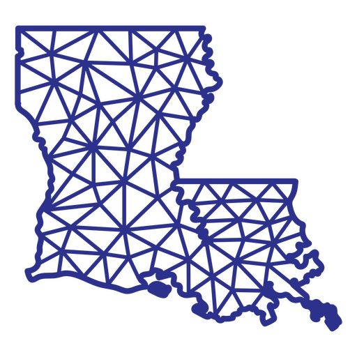
Louisiana map polygonal PNG Design
Choose a folder
All favorites
Create new
Save
Louisiana map polygonal PNG Design
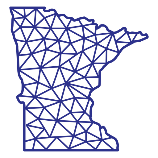
Minnesota map polygonal PNG Design
Choose a folder
All favorites
Create new
Save
Minnesota map polygonal PNG Design
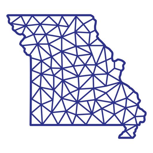
Missouri map polygonal PNG Design
Choose a folder
All favorites
Create new
Save
Missouri map polygonal PNG Design
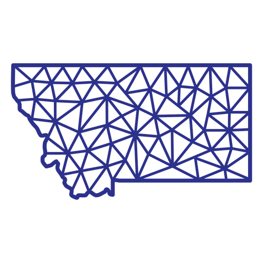
Montana map polygonal PNG Design
Choose a folder
All favorites
Create new
Save
Montana map polygonal PNG Design
Nebraska map polygonal PNG Design
Choose a folder
All favorites
Create new
Save
Nebraska map polygonal PNG Design
New Hampshire map polygonal PNG Design
Choose a folder
All favorites
Create new
Save
New Hampshire map polygonal PNG Design
New York map polygonal PNG Design
Choose a folder
All favorites
Create new
Save
New York map polygonal PNG Design
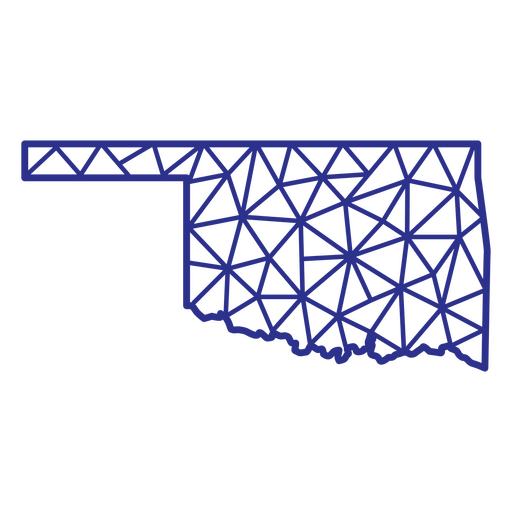
Oklahoma map polygonal PNG Design
Choose a folder
All favorites
Create new
Save
Oklahoma map polygonal PNG Design
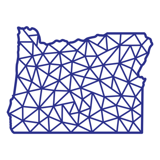
Oregon map polygonal PNG Design
Choose a folder
All favorites
Create new
Save
Oregon map polygonal PNG Design
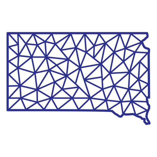
South Dakota map polygonal PNG Design
Choose a folder
All favorites
Create new
Save
South Dakota map polygonal PNG Design
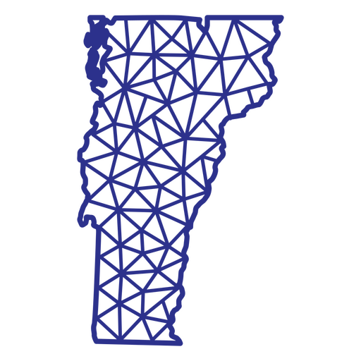
Vermont map polygonal PNG Design
Choose a folder
All favorites
Create new
Save
Vermont map polygonal PNG Design
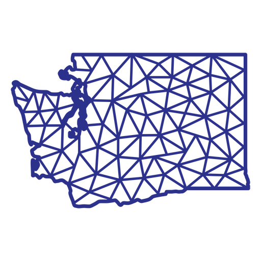
Washington map polygonal PNG Design
Choose a folder
All favorites
Create new
Save
Washington map polygonal PNG Design
Wyoming map polygonal PNG Design
Choose a folder
All favorites
Create new
Save
Wyoming map polygonal PNG Design
Boost Your Business
With The Leading Graphic Platform For Merch.
SEE PLANS
Next
of 69
prev page
next page