Design Library
New Merch Designs
T-Shirts
Vectors
Trending Merch Designs
PNGs & SVGs
Mockups
T-Shirt PSD Templates
Explore Designs
KDP Designs
Posters
Mugs
Phone Cases
Tote Bags
Pillows
Design Tools
Merch Designer
New!
Mockup Generator
AI Design Generator
Image Vectorizer
Quote Generator
T-Shirt Maker (Old)
Resources
Merch Digest
Blog
Help Center
Learn About Merch
Feedback
Corporate Solutions
Enterprise
API Access
Design Studio
Bulk Design Production
Pricing
Loading...
Sign Up
Login
All
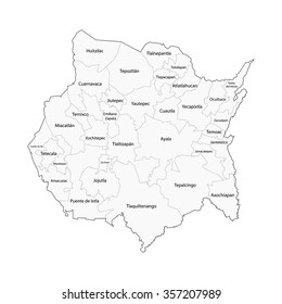
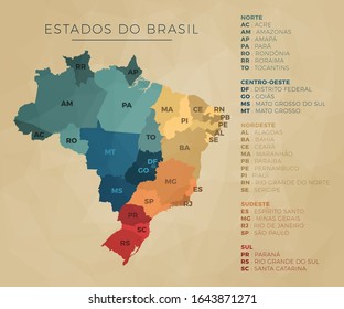
estados
Design Library
New Merch Designs
T-Shirts
Vectors
Trending Merch Designs
PNGs & SVGs
Mockups
T-Shirt PSD Templates
Explore Designs
KDP Designs
Posters
Mugs
Phone Cases
Tote Bags
Pillows
Design Tools
Merch Designer
New!
Mockup Generator
AI Design Generator
Image Vectorizer
Quote Generator
T-Shirt Maker (Old)
Resources
Merch Digest
Blog
Help Center
Learn About Merch
Feedback
Corporate Solutions
Enterprise
API Access
Design Studio
Bulk Design Production
PLANS
All
estados
3409 estados designs graphics for t-shirt and print on demand merch
Download estados t-shirt designs and other merch graphics like book covers, phone cases, tote bags and more.
Sort by
Most relevant
Sponsored results by
Get 15% off with code: VEXELS15
Show more
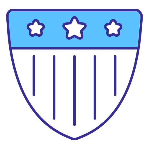
Patriotic emblem stroke PNG Design
Choose a folder
All favorites
Create new
Save
Patriotic emblem stroke PNG Design
Editable text
Premium
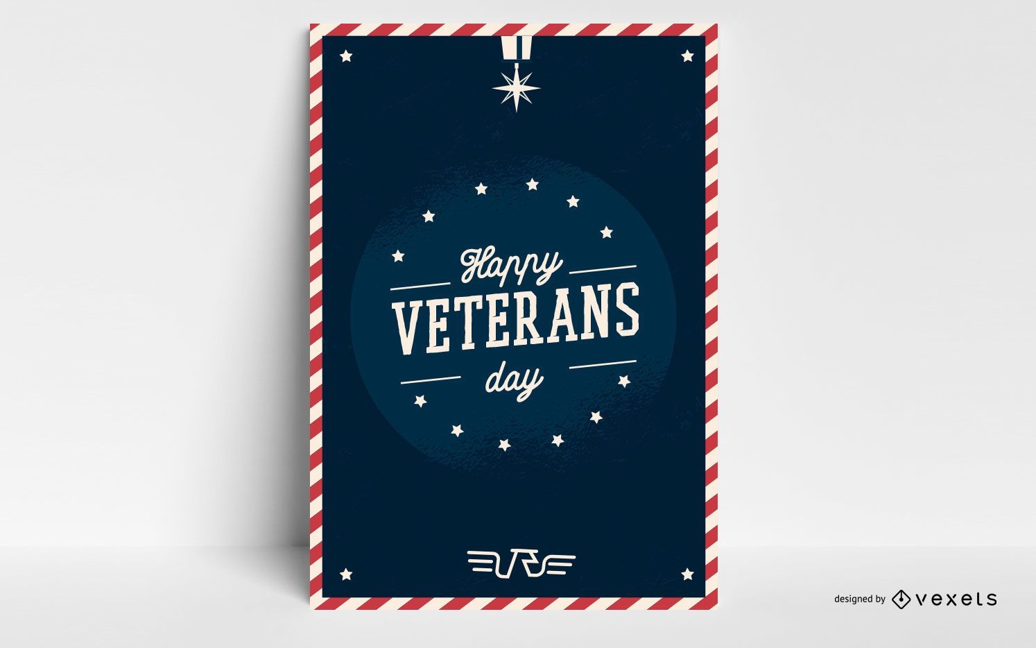
Happy veterans day poster
Choose a folder
All favorites
Create new
Save
Happy veterans day poster
Premium
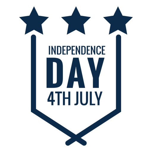
independence day labels designs
Choose a folder
All favorites
Create new
Save
independence day labels designs
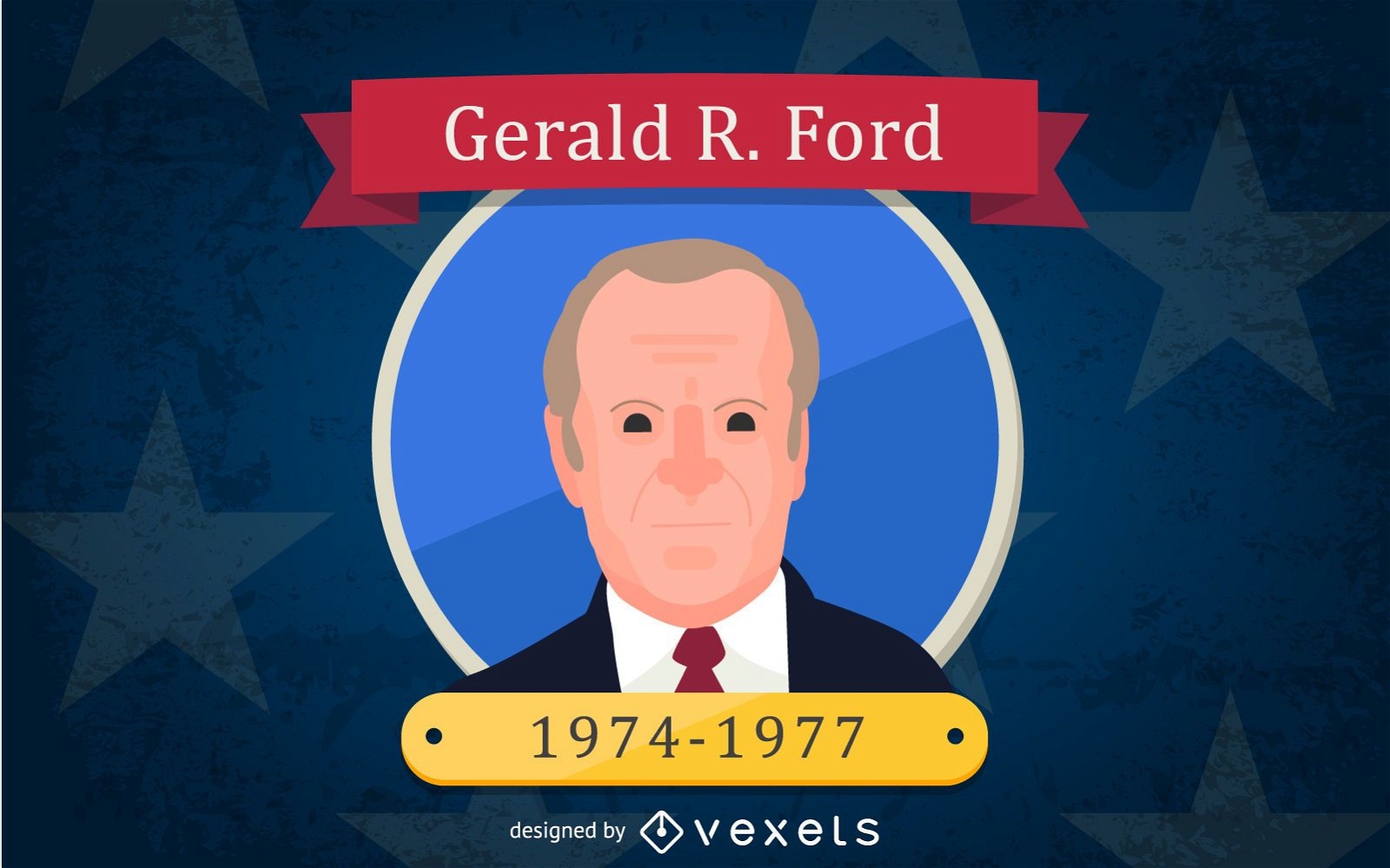
Gerald R. Ford Cartoon Illustration
Choose a folder
All favorites
Create new
Save
Gerald R. Ford Cartoon Illustration
Premium
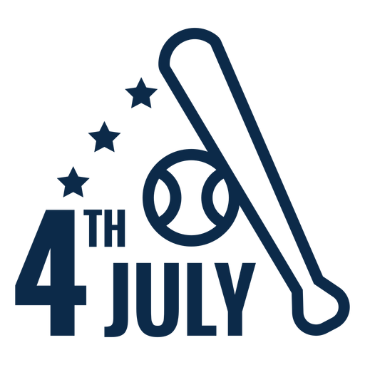
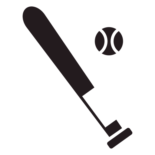
4th july baseball bat flat PNG Design
Choose a folder
All favorites
Create new
Save
4th july baseball bat flat PNG Design
Premium
4th july baseball bat icon PNG Design
Choose a folder
All favorites
Create new
Save
4th july baseball bat icon PNG Design
Premium
American balloon flat PNG Design
Choose a folder
All favorites
Create new
Save
American balloon flat PNG Design
Premium
American stick flag flat PNG Design
Choose a folder
All favorites
Create new
Save
American stick flag flat PNG Design
Premium
American stick flag icon PNG Design
Choose a folder
All favorites
Create new
Save
American stick flag icon PNG Design
Premium
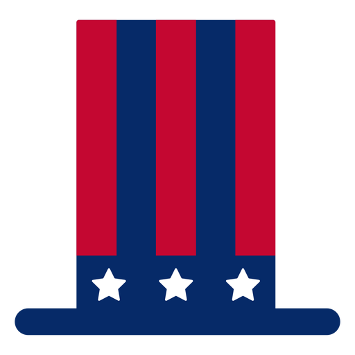
Independence day top hat icon PNG Design
Choose a folder
All favorites
Create new
Save
Independence day top hat icon PNG Design
Premium
American top hat design element PNG Design
Choose a folder
All favorites
Create new
Save
American top hat design element PNG Design
AI generated, curated by our designers
for Merch
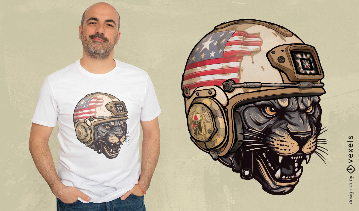
Patriotic panther helmet t-shirt design
Choose a folder
All favorites
Create new
Save
Patriotic panther helmet t-shirt design
AI generated, curated by our designers
for Merch
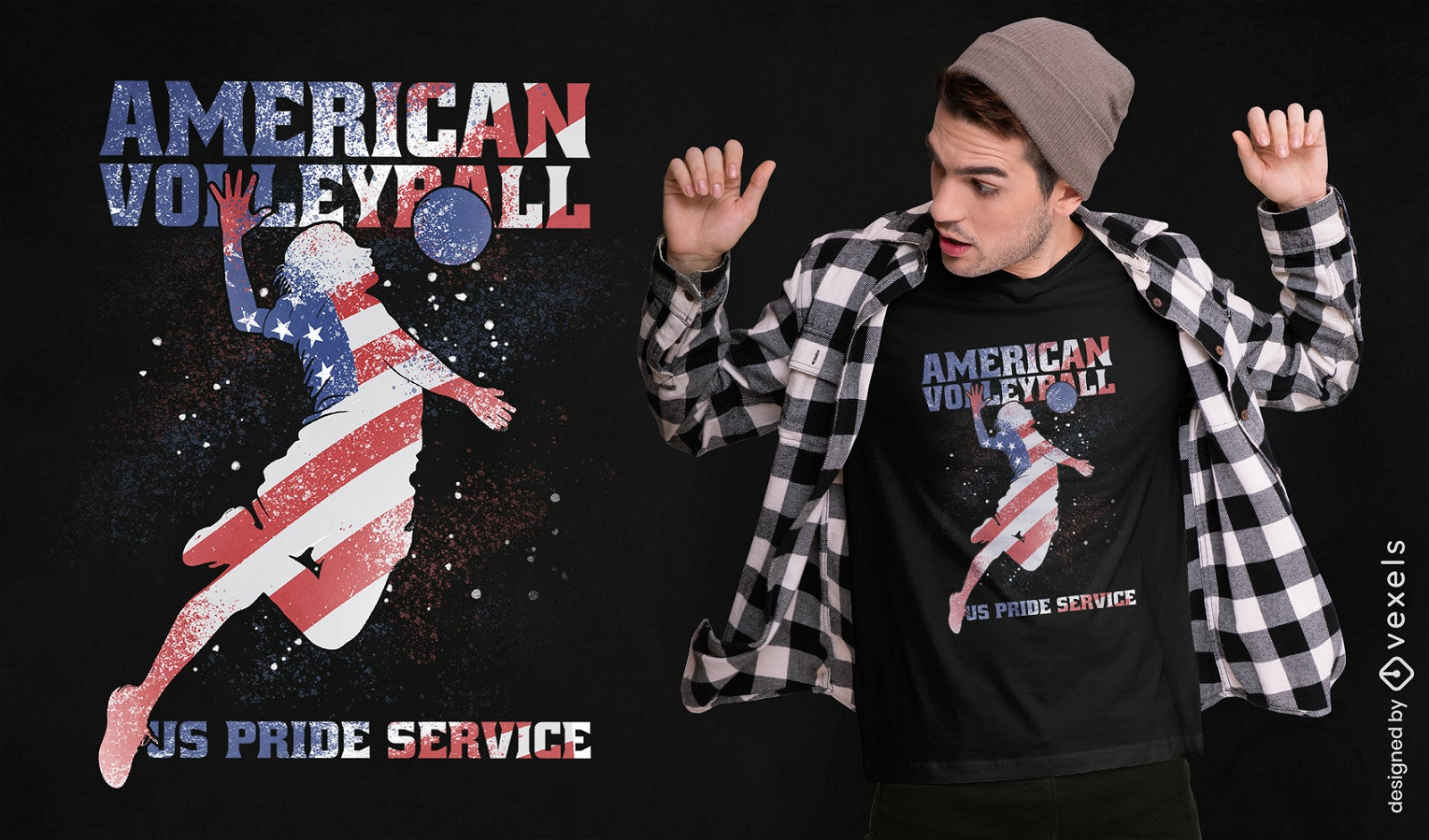
Patriotic volleyball player t-shirt design
Choose a folder
All favorites
Create new
Save
Patriotic volleyball player t-shirt design
PSD Mockup
Premium
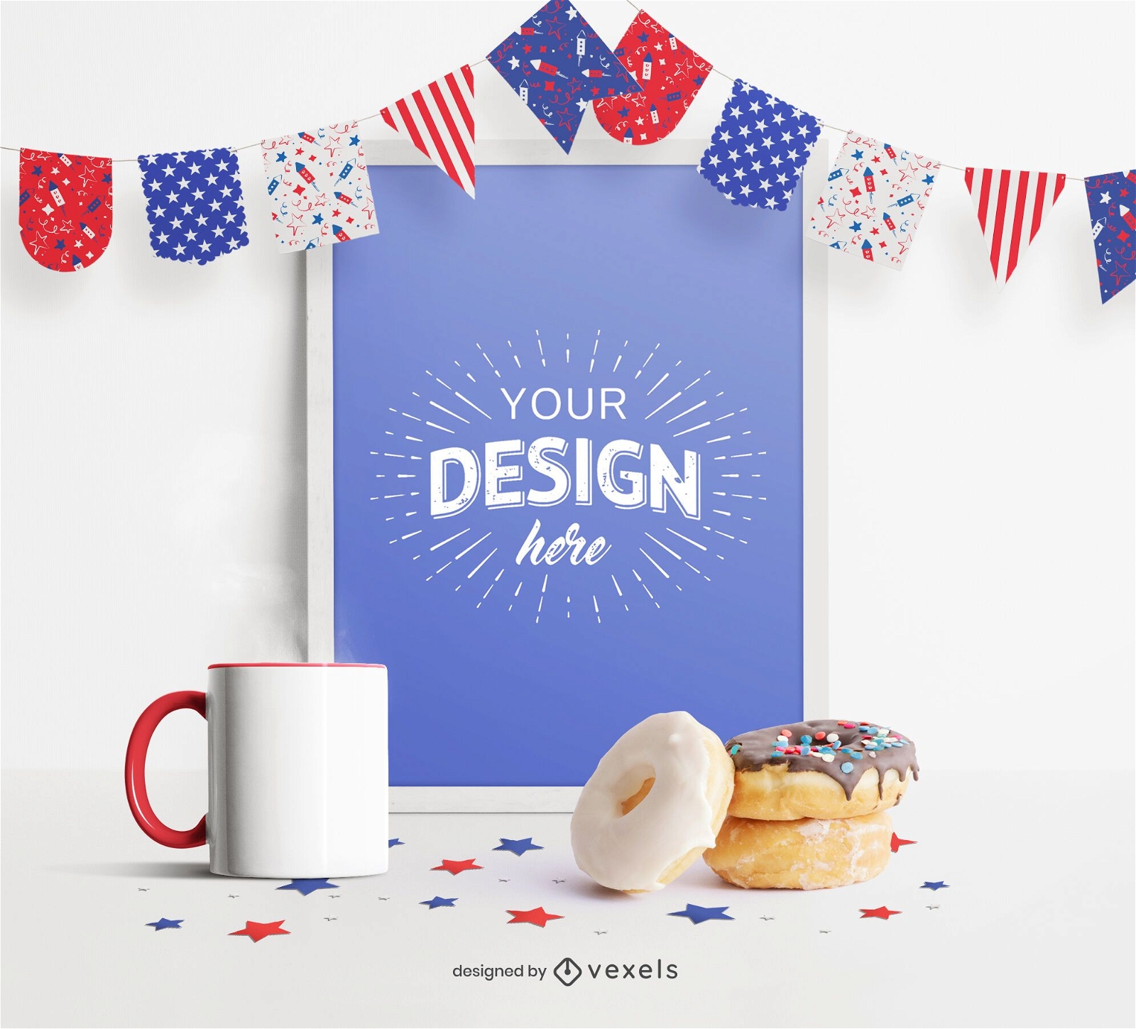
4th of July pennants frame mockup
Choose a folder
All favorites
Create new
Save
4th of July pennants frame mockup
Baseball bat and ball black PNG Design
Choose a folder
All favorites
Create new
Save
Baseball bat and ball black PNG Design
Basketball ball flat icon basketball PNG Design
Choose a folder
All favorites
Create new
Save
Basketball ball flat icon basketball PNG Design
Money sack black PNG Design
Choose a folder
All favorites
Create new
Save
Money sack black PNG Design
American hot dog stroke PNG Design
Choose a folder
All favorites
Create new
Save
American hot dog stroke PNG Design
Patriotic american top hat hand drawn PNG Design
Choose a folder
All favorites
Create new
Save
Patriotic american top hat hand drawn PNG Design
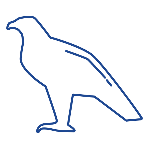
Bald eagle stroke PNG Design
Choose a folder
All favorites
Create new
Save
Bald eagle stroke PNG Design
Baseball bat and ball element PNG Design
Choose a folder
All favorites
Create new
Save
Baseball bat and ball element PNG Design
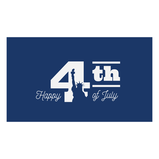
Happy july 4th lettering PNG Design
Choose a folder
All favorites
Create new
Save
Happy july 4th lettering PNG Design
Patriotic emblem element PNG Design
Choose a folder
All favorites
Create new
Save
Patriotic emblem element PNG Design
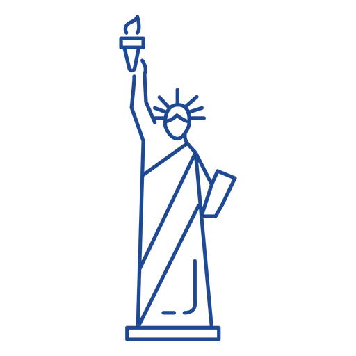
Statue of liberty stroke PNG Design
Choose a folder
All favorites
Create new
Save
Statue of liberty stroke PNG Design
Premium
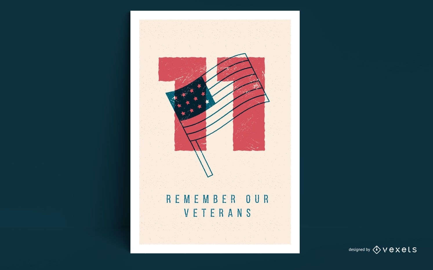
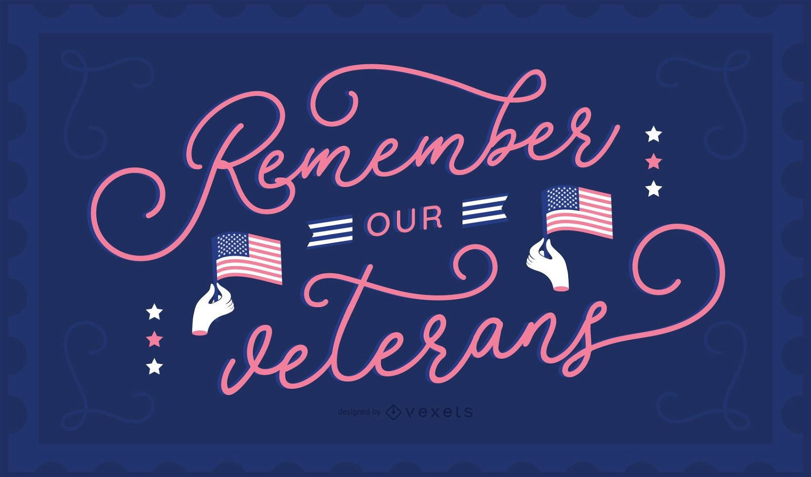
Remember our veterans day poster design
Choose a folder
All favorites
Create new
Save
Remember our veterans day poster design
Premium
Veterans day banner design
Choose a folder
All favorites
Create new
Save
Veterans day banner design
Premium
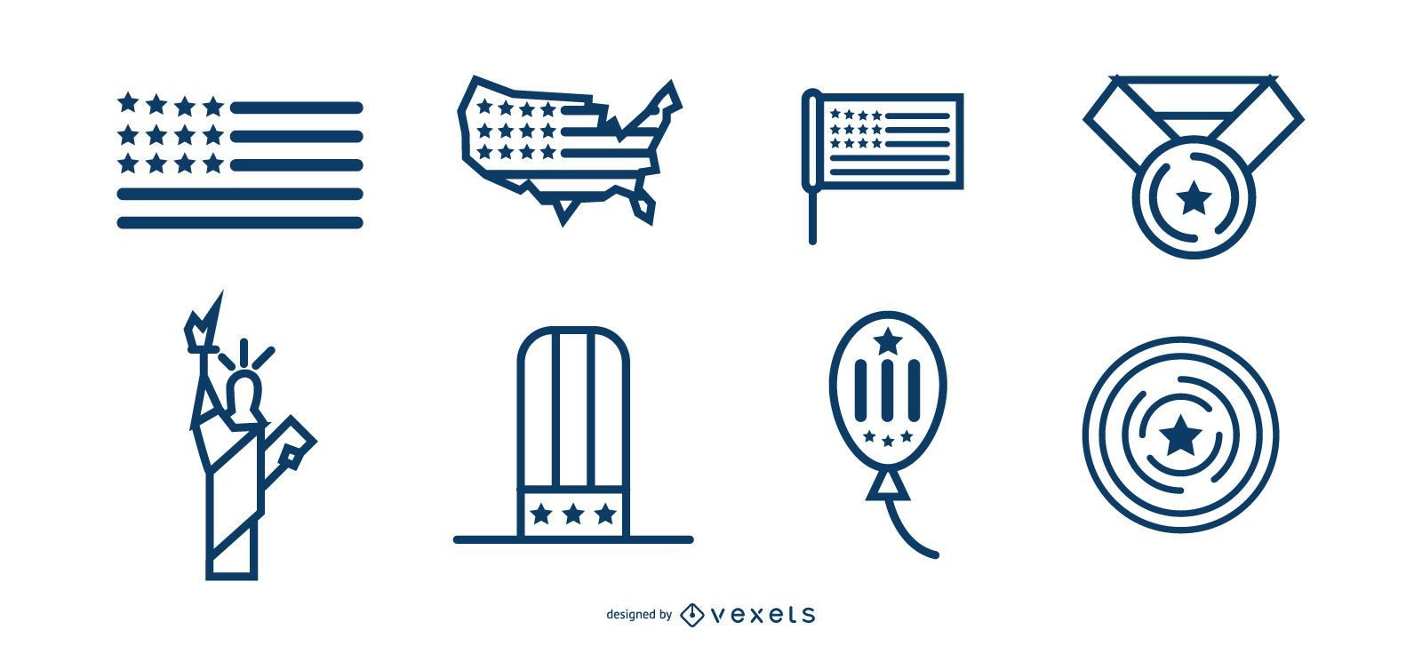
patriotic icon set
Choose a folder
All favorites
Create new
Save
patriotic icon set
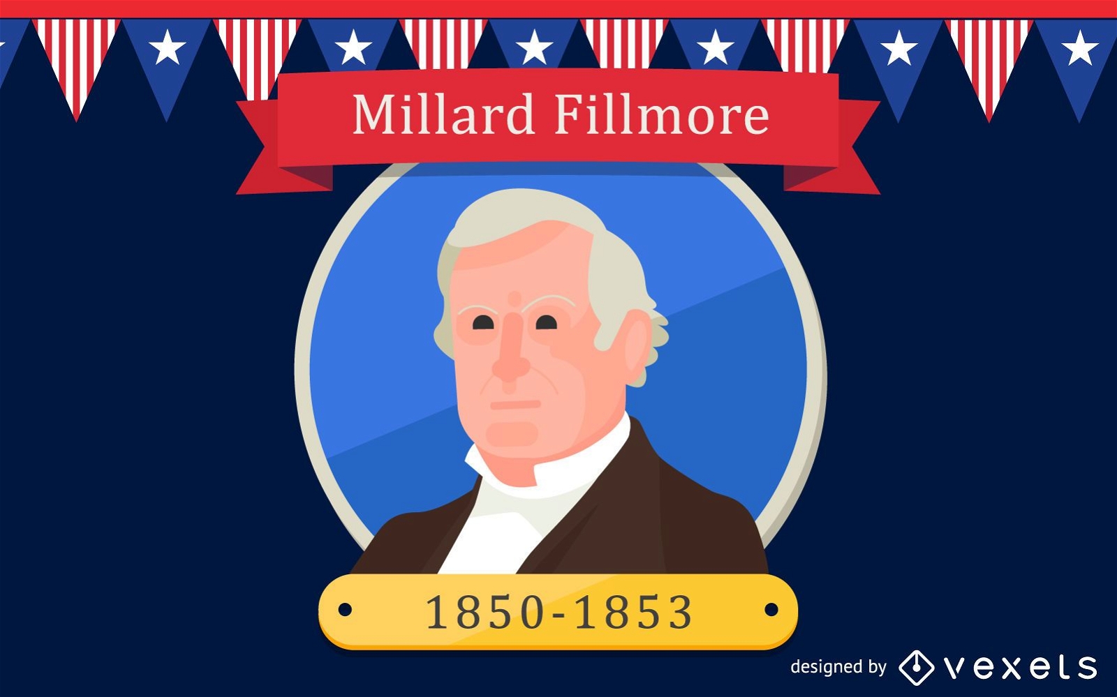
Millard Fillmore Cartoon Illustration
Choose a folder
All favorites
Create new
Save
Millard Fillmore Cartoon Illustration
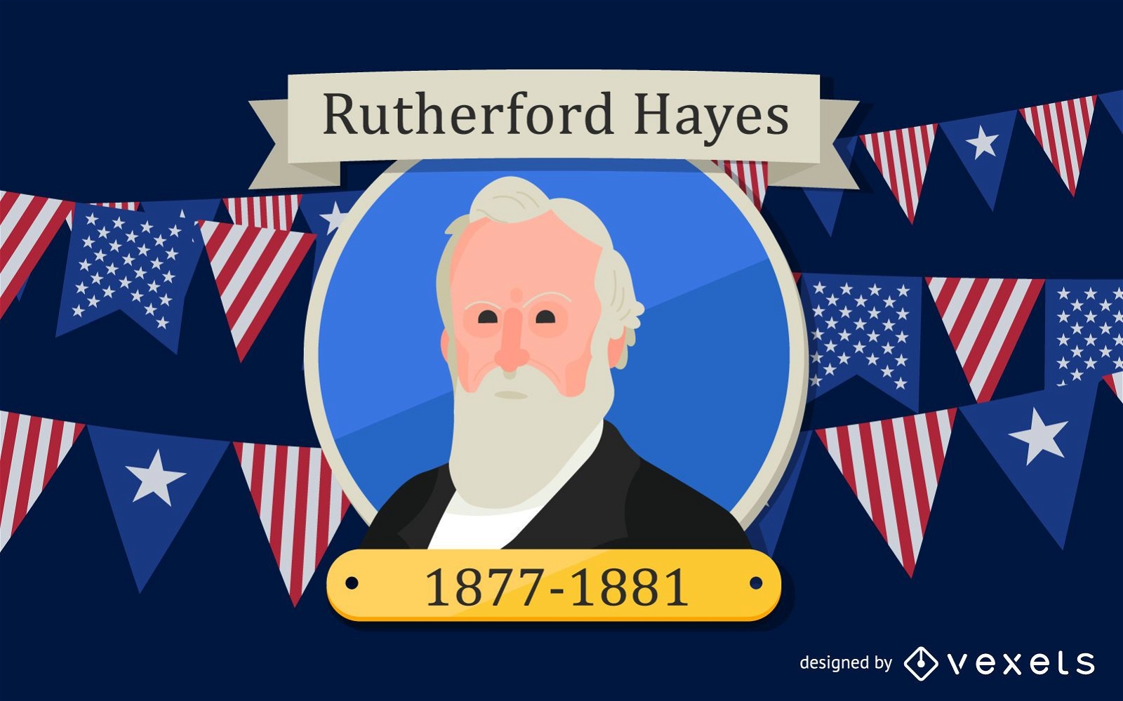
Rutherford Hayes Cartoon Illustration
Choose a folder
All favorites
Create new
Save
Rutherford Hayes Cartoon Illustration
Premium
4th july award ribbon icon PNG Design
Choose a folder
All favorites
Create new
Save
4th july award ribbon icon PNG Design
Premium
4th july graphic icon PNG Design
Choose a folder
All favorites
Create new
Save
4th july graphic icon PNG Design
Premium
American top hat flat PNG Design
Choose a folder
All favorites
Create new
Save
American top hat flat PNG Design
Premium
Independence day emblem flat PNG Design
Choose a folder
All favorites
Create new
Save
Independence day emblem flat PNG Design
Premium
Rugby helmet round icon PNG Design
Choose a folder
All favorites
Create new
Save
Rugby helmet round icon PNG Design
Premium
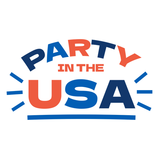
Party in the usa quote PNG Design
Choose a folder
All favorites
Create new
Save
Party in the usa quote PNG Design
Premium
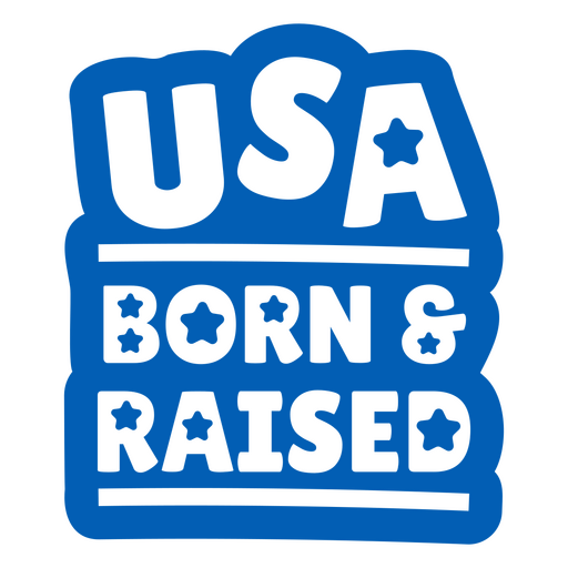
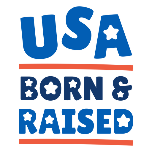
Usa born & raised quote PNG Design
Choose a folder
All favorites
Create new
Save
Usa born & raised quote PNG Design
Premium
Usa born & raised quote PNG Design
Choose a folder
All favorites
Create new
Save
Usa born & raised quote PNG Design
Premium
Independence day badge set
Choose a folder
All favorites
Create new
Save
Independence day badge set
American soft drink cup stroke PNG Design
Choose a folder
All favorites
Create new
Save
American soft drink cup stroke PNG Design
Bald eagle head stroke element PNG Design
Choose a folder
All favorites
Create new
Save
Bald eagle head stroke element PNG Design
Bald eagle stroke element PNG Design
Choose a folder
All favorites
Create new
Save
Bald eagle stroke element PNG Design
Patriotic award ribbon element PNG Design
Choose a folder
All favorites
Create new
Save
Patriotic award ribbon element PNG Design
Patriotic stars hanging banner element PNG Design
Choose a folder
All favorites
Create new
Save
Patriotic stars hanging banner element PNG Design
Soft drink cup element PNG Design
Choose a folder
All favorites
Create new
Save
Soft drink cup element PNG Design
Premium
Veterans Day Lettering Background
Choose a folder
All favorites
Create new
Save
Veterans Day Lettering Background
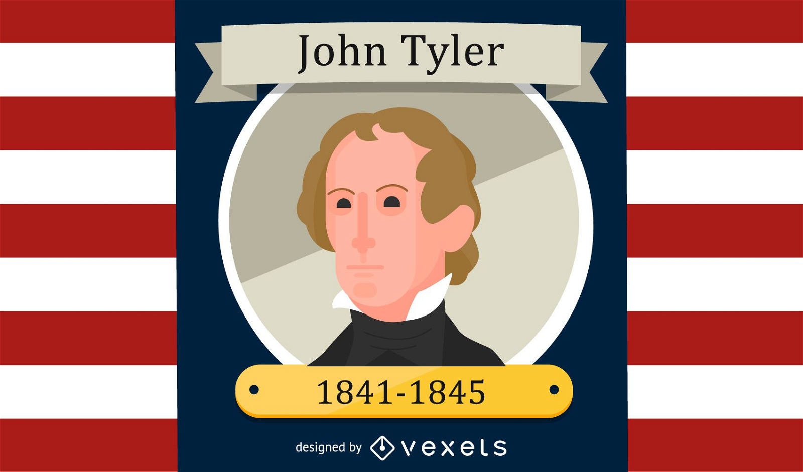
John Tyler Cartoon Portrait
Choose a folder
All favorites
Create new
Save
John Tyler Cartoon Portrait
Martin Van Buren Cartoon Illustration
Choose a folder
All favorites
Create new
Save
Martin Van Buren Cartoon Illustration
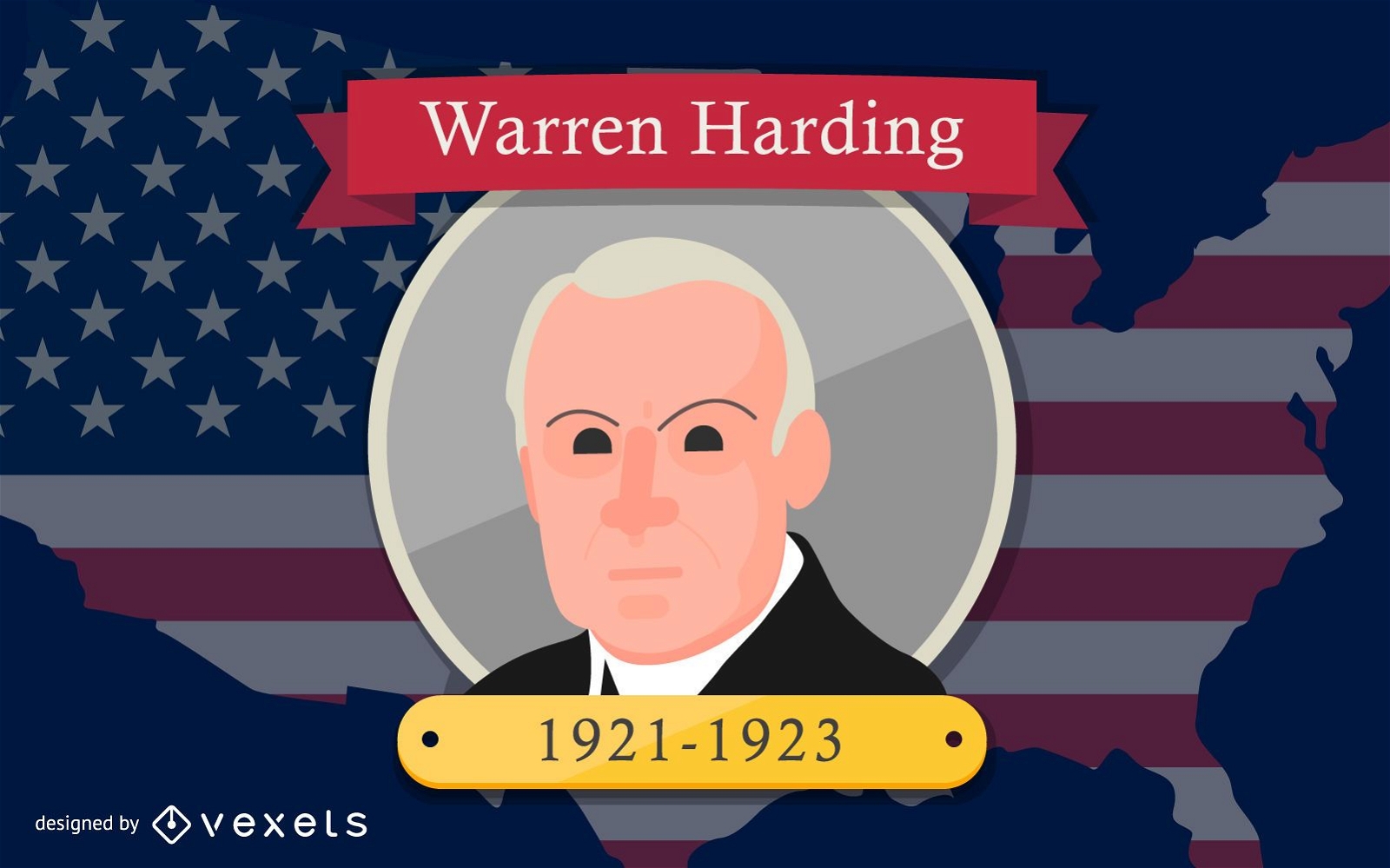
Warren Harding Cartoon Illustration
Choose a folder
All favorites
Create new
Save
Warren Harding Cartoon Illustration
William H Harrison Cartoon Illustration
Choose a folder
All favorites
Create new
Save
William H Harrison Cartoon Illustration
Premium
4th july award ribbon flat PNG Design
Choose a folder
All favorites
Create new
Save
4th july award ribbon flat PNG Design
Boost Your Business
With The Leading Graphic Platform For Merch.
SEE PLANS
Next
of 69
prev page
next page