Design Library
New Merch Designs
T-Shirts
Vectors
Trending Merch Designs
PNGs & SVGs
Mockups
T-Shirt PSD Templates
Explore Designs
KDP Designs
Posters
Mugs
Phone Cases
Tote Bags
Pillows
Design Tools
Merch Designer
New!
Mockup Generator
AI Design Generator
Image Vectorizer
Quote Generator
T-Shirt Maker (Old)
Resources
Merch Digest
Blog
Help Center
Learn About Merch
Feedback
Corporate Solutions
Enterprise
API Access
Design Studio
Bulk Design Production
Pricing
Loading...
Sign Up
Login
All
estados
Design Library
New Merch Designs
T-Shirts
Vectors
Trending Merch Designs
PNGs & SVGs
Mockups
T-Shirt PSD Templates
Explore Designs
KDP Designs
Posters
Mugs
Phone Cases
Tote Bags
Pillows
Design Tools
Merch Designer
New!
Mockup Generator
AI Design Generator
Image Vectorizer
Quote Generator
T-Shirt Maker (Old)
Resources
Merch Digest
Blog
Help Center
Learn About Merch
Feedback
Corporate Solutions
Enterprise
API Access
Design Studio
Bulk Design Production
PLANS
All
estados
3409 estados designs graphics for t-shirt and print on demand merch
Download estados t-shirt designs and other merch graphics like book covers, phone cases, tote bags and more.
Sort by
Most relevant
Sponsored results by
Get 15% off with code: VEXELS15
Show more
USA american flag filled stroke PNG Design
Choose a folder
All favorites
Create new
Save
USA american flag filled stroke PNG Design
Cute American football PNG Design
Choose a folder
All favorites
Create new
Save
Cute American football PNG Design
America lettering flag hand drawn badge PNG Design
Choose a folder
All favorites
Create new
Save
America lettering flag hand drawn badge PNG Design
USA flag lettering hand drawn badge PNG Design
Choose a folder
All favorites
Create new
Save
USA flag lettering hand drawn badge PNG Design
American flag lips kiss hand drawn badge PNG Design
Choose a folder
All favorites
Create new
Save
American flag lips kiss hand drawn badge PNG Design
Love lettering american flag filled stroke badge PNG Design
Choose a folder
All favorites
Create new
Save
Love lettering american flag filled stroke badge PNG Design
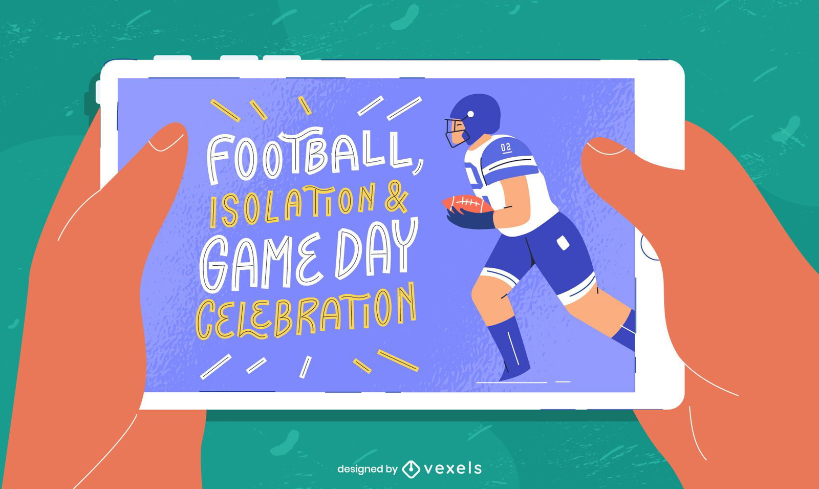
Tablet superbowl illustration
Choose a folder
All favorites
Create new
Save
Tablet superbowl illustration
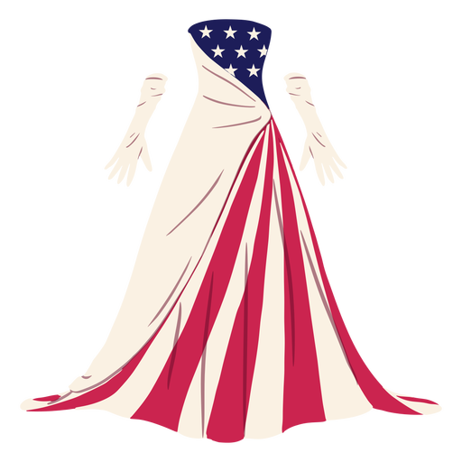
Formal american patterned dress illustration PNG Design
Choose a folder
All favorites
Create new
Save
Formal american patterned dress illustration PNG Design
Honor veteran salue eagle wing badge PNG Design
Choose a folder
All favorites
Create new
Save
Honor veteran salue eagle wing badge PNG Design
American badge 4th of july PNG Design
Choose a folder
All favorites
Create new
Save
American badge 4th of july PNG Design
American space shuttle element PNG Design
Choose a folder
All favorites
Create new
Save
American space shuttle element PNG Design
Baseball bat and ball stroke PNG Design
Choose a folder
All favorites
Create new
Save
Baseball bat and ball stroke PNG Design
Patriotic rosette ribbon element PNG Design
Choose a folder
All favorites
Create new
Save
Patriotic rosette ribbon element PNG Design
Patriotic white balloon element PNG Design
Choose a folder
All favorites
Create new
Save
Patriotic white balloon element PNG Design
Editable text
Premium
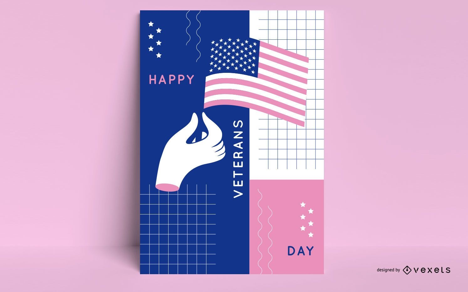
Veterans day abstract poster template
Choose a folder
All favorites
Create new
Save
Veterans day abstract poster template
Premium
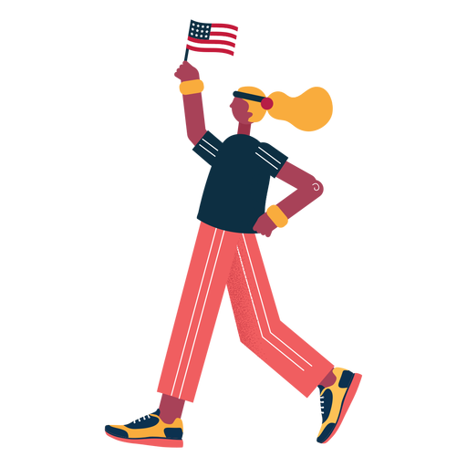
Character patriot athlete PNG Design
Choose a folder
All favorites
Create new
Save
Character patriot athlete PNG Design
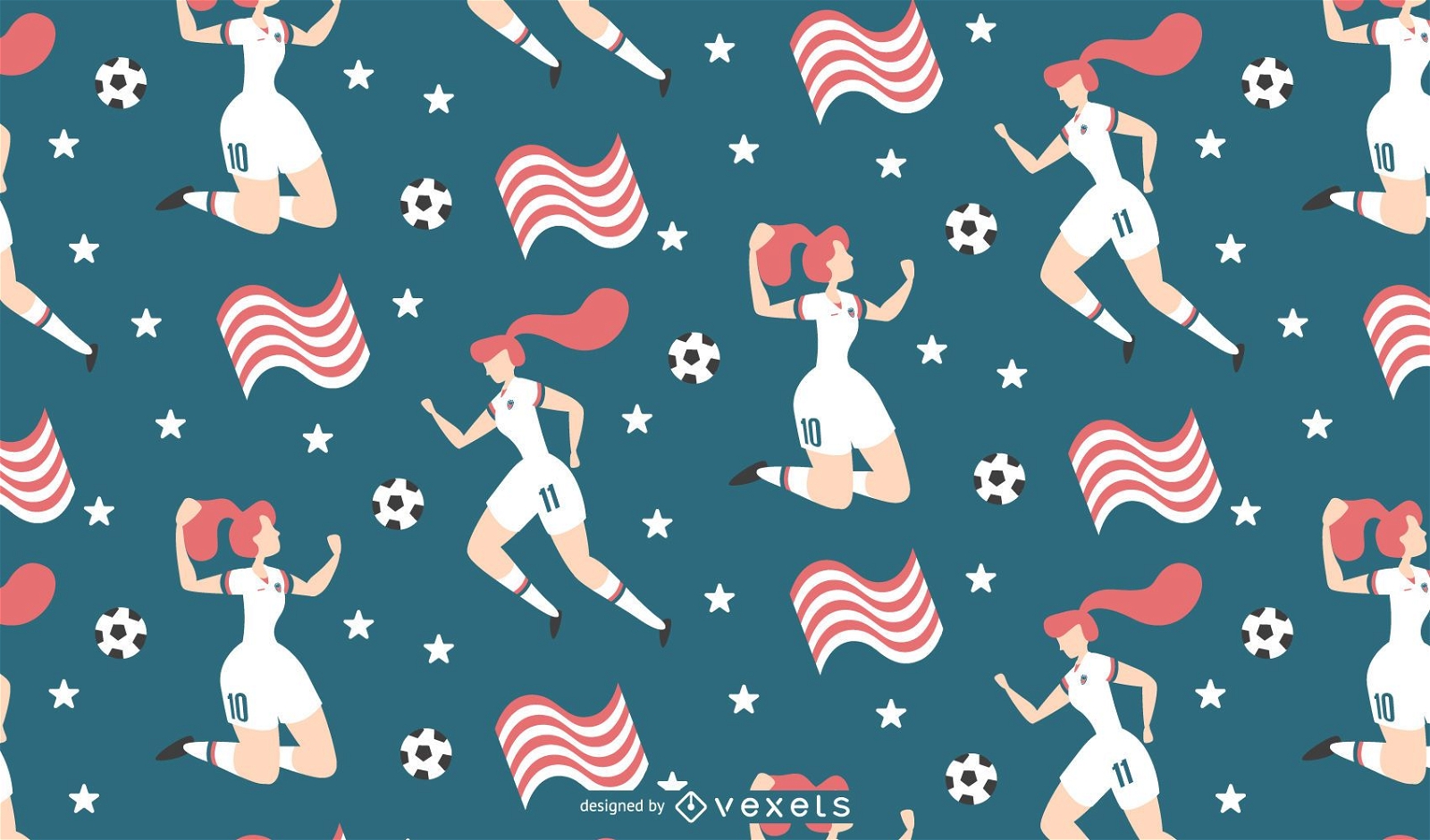
Tileable pattern
Premium
Background Womens Soccer Illustration
Choose a folder
All favorites
Create new
Save
Background Womens Soccer Illustration
Premium
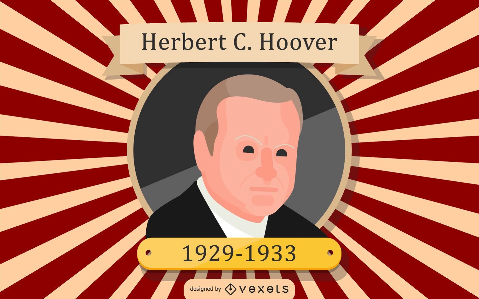
Herbert C. Hoover Cartoon Illustration
Choose a folder
All favorites
Create new
Save
Herbert C. Hoover Cartoon Illustration
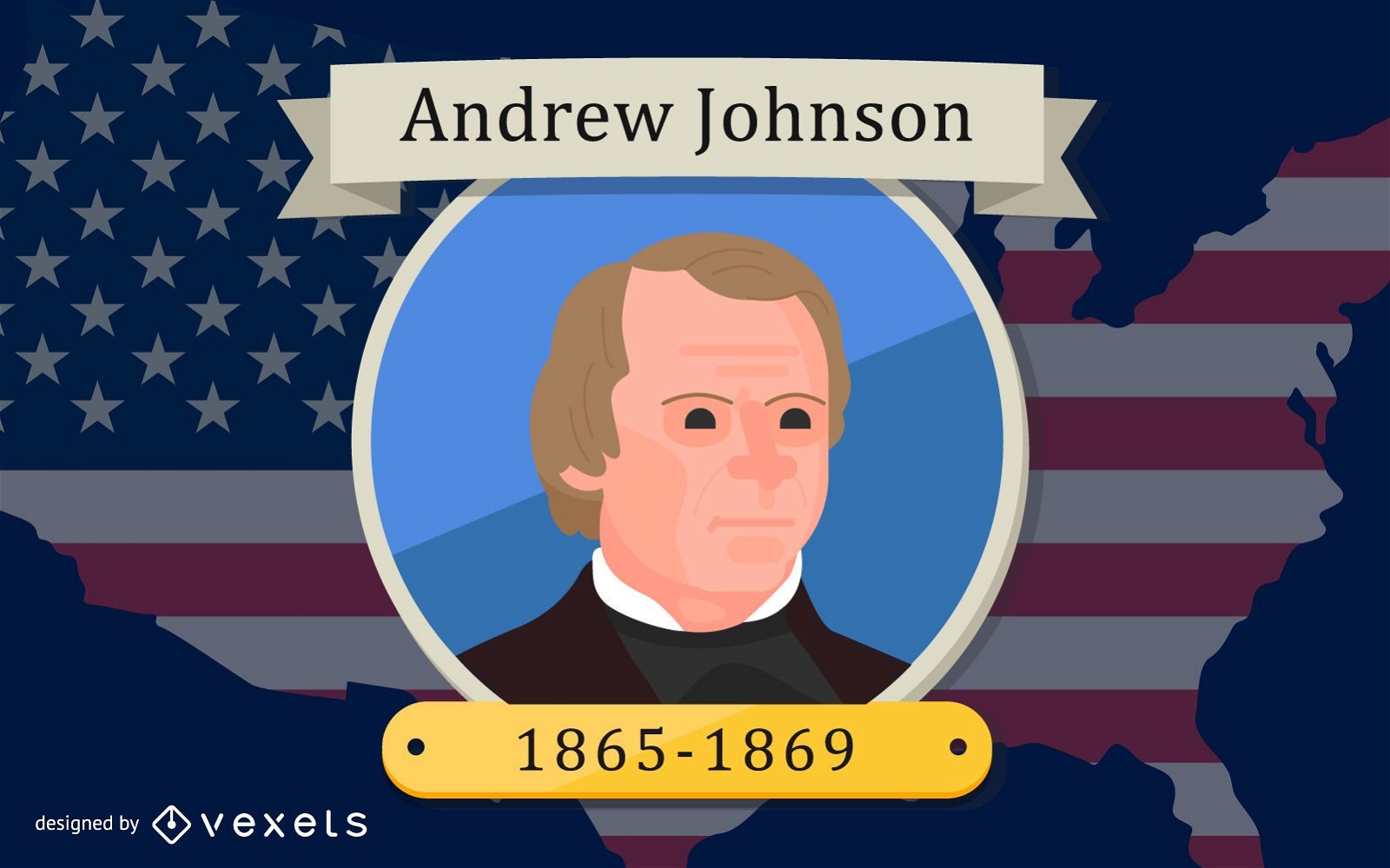
President Andrew Johnson Design
Choose a folder
All favorites
Create new
Save
President Andrew Johnson Design
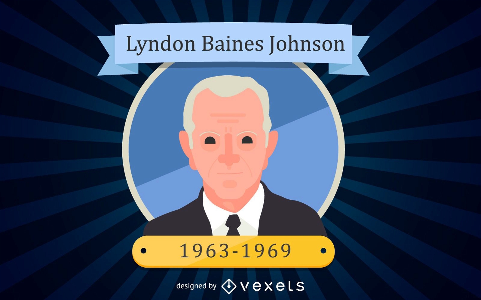
Lyndon Baines Johnson Cartoon Portrait
Choose a folder
All favorites
Create new
Save
Lyndon Baines Johnson Cartoon Portrait
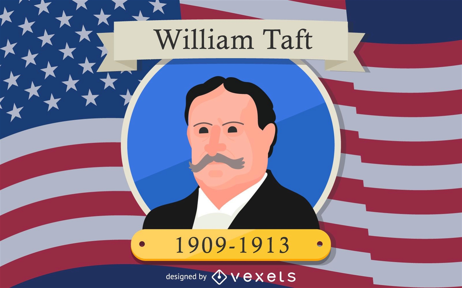
William Taft Cartoon Illustration Design
Choose a folder
All favorites
Create new
Save
William Taft Cartoon Illustration Design
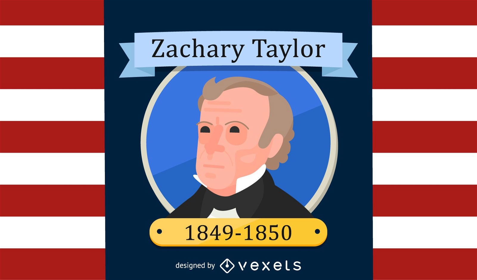
Zachary Taylor Cartoon Illustration Design
Choose a folder
All favorites
Create new
Save
Zachary Taylor Cartoon Illustration Design
AI generated, curated by our designers
for Merch
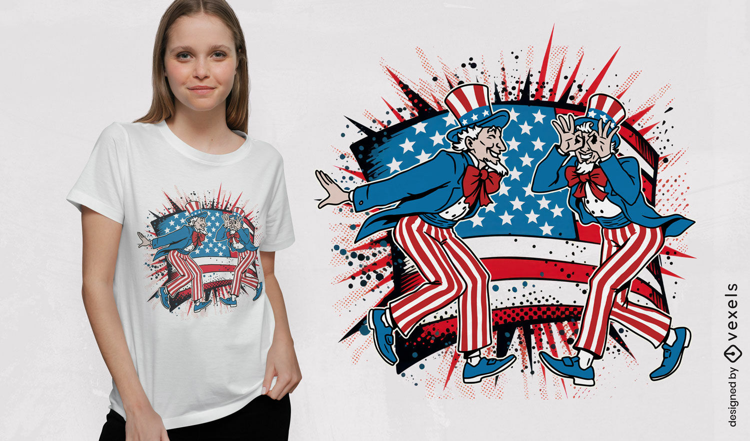
Patriotic figures t-shirt design
Choose a folder
All favorites
Create new
Save
Patriotic figures t-shirt design
Premium
Lincoln memorial in Washington PNG Design
Choose a folder
All favorites
Create new
Save
Lincoln memorial in Washington PNG Design
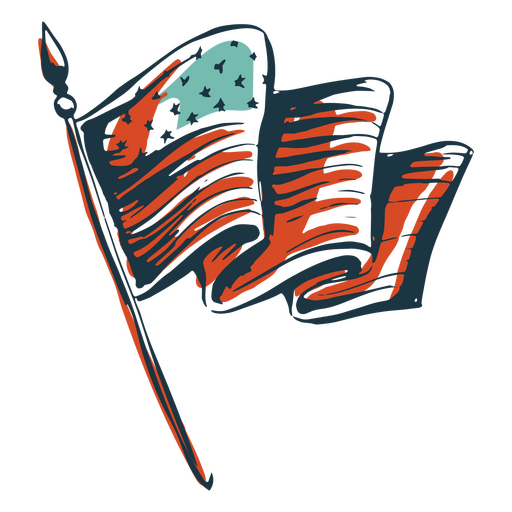
American flag hand drawn element PNG Design
Choose a folder
All favorites
Create new
Save
American flag hand drawn element PNG Design
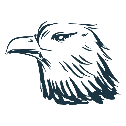
American eagle head hand drawn element PNG Design
Choose a folder
All favorites
Create new
Save
American eagle head hand drawn element PNG Design
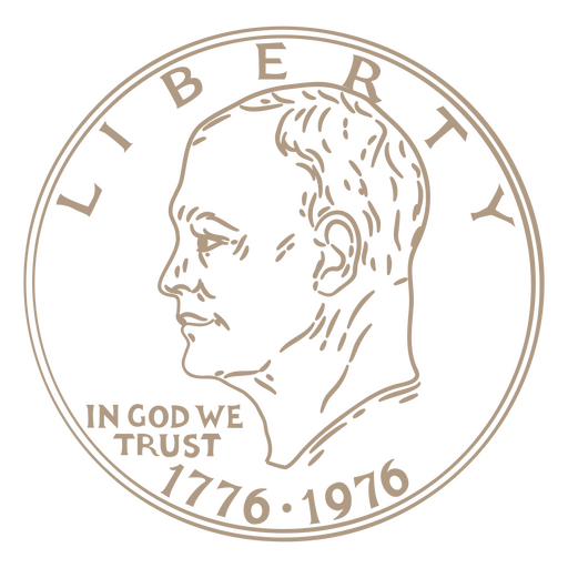
One dollar stroke coin tail PNG Design
Choose a folder
All favorites
Create new
Save
One dollar stroke coin tail PNG Design
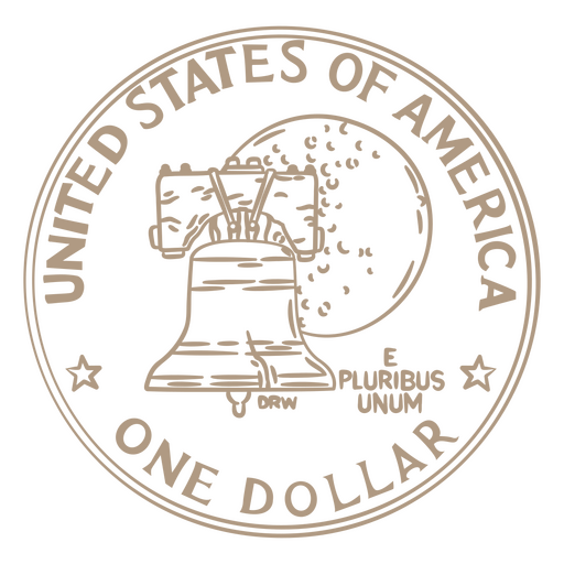
One dollar stroke coin head PNG Design
Choose a folder
All favorites
Create new
Save
One dollar stroke coin head PNG Design
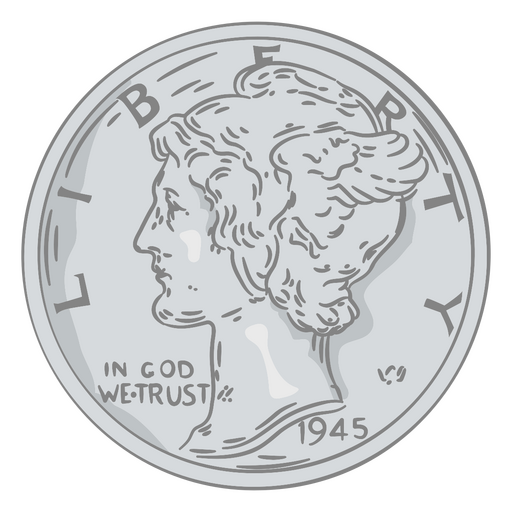
Coin illustration dime head PNG Design
Choose a folder
All favorites
Create new
Save
Coin illustration dime head PNG Design
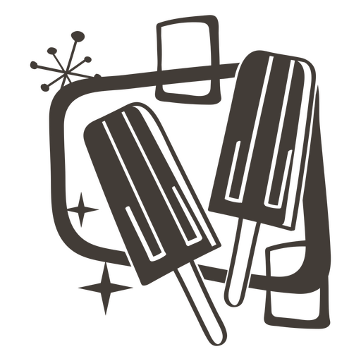
Popsicle filled stroke food treats PNG Design
Choose a folder
All favorites
Create new
Save
Popsicle filled stroke food treats PNG Design
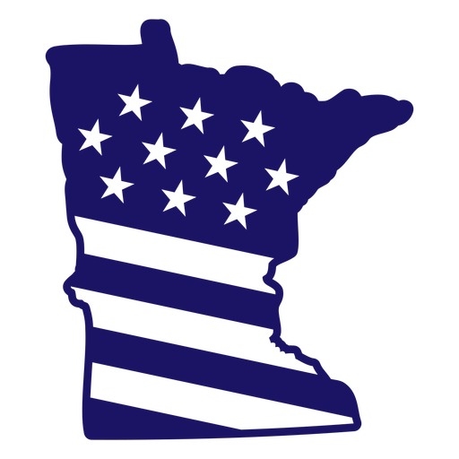
Minnesota state american flag filled stroke map PNG Design
Choose a folder
All favorites
Create new
Save
Minnesota state american flag filled stroke map PNG Design
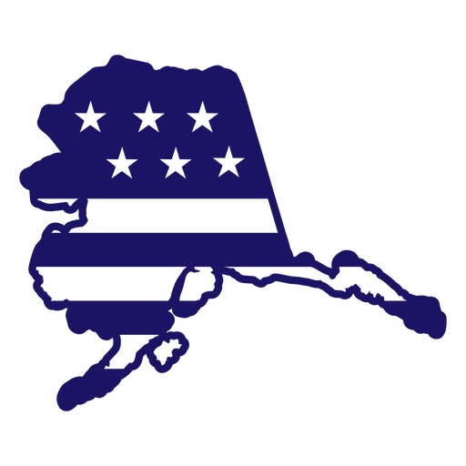
Alaska state american flag filled stroke map PNG Design
Choose a folder
All favorites
Create new
Save
Alaska state american flag filled stroke map PNG Design
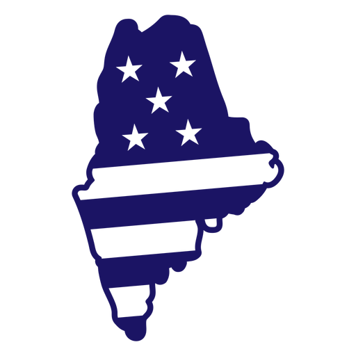
Maine state american flag filled stroke map PNG Design
Choose a folder
All favorites
Create new
Save
Maine state american flag filled stroke map PNG Design
Land of the free because of the brave cut out badge PNG Design
Choose a folder
All favorites
Create new
Save
Land of the free because of the brave cut out badge PNG Design
Sweet land of liberty badge PNG Design
Choose a folder
All favorites
Create new
Save
Sweet land of liberty badge PNG Design
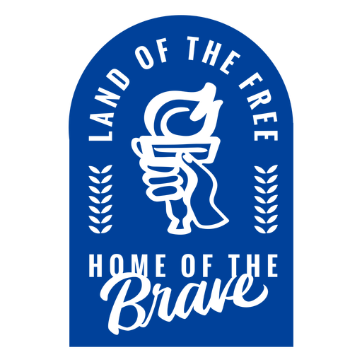
Home of the brave badge PNG Design
Choose a folder
All favorites
Create new
Save
Home of the brave badge PNG Design
Land of the free quote cut out PNG Design
Choose a folder
All favorites
Create new
Save
Land of the free quote cut out PNG Design
America the beauty cut out PNG Design
Choose a folder
All favorites
Create new
Save
America the beauty cut out PNG Design
Made in america cut out PNG Design
Choose a folder
All favorites
Create new
Save
Made in america cut out PNG Design
Patriot american flag badge cut out PNG Design
Choose a folder
All favorites
Create new
Save
Patriot american flag badge cut out PNG Design
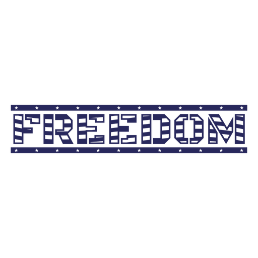
Freedom american flag filled stroke PNG Design
Choose a folder
All favorites
Create new
Save
Freedom american flag filled stroke PNG Design
PSD Mockup
Premium
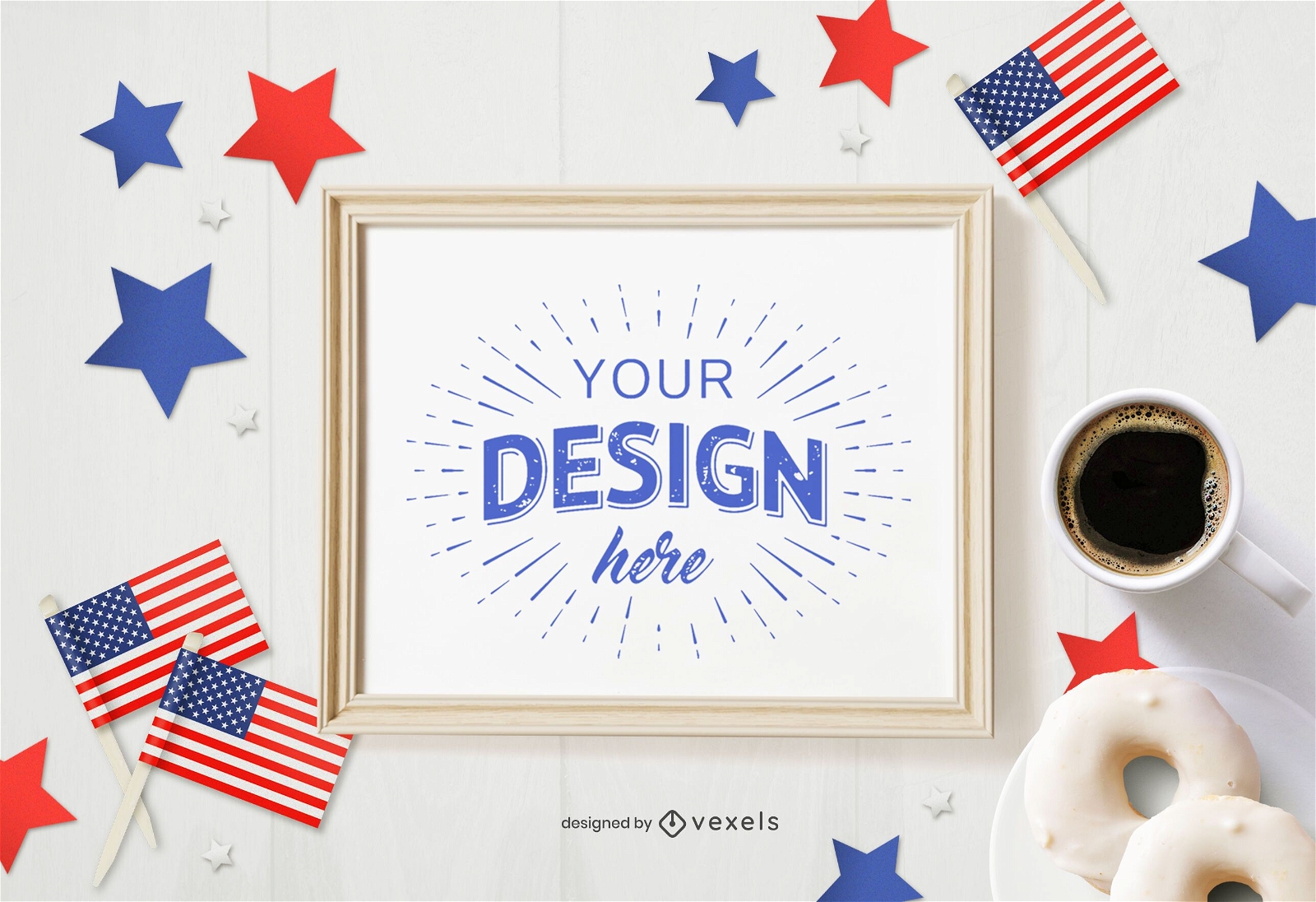
July 4th frame mockup
Choose a folder
All favorites
Create new
Save
July 4th frame mockup
Premium
4th of july card hand mockup
Choose a folder
All favorites
Create new
Save
4th of july card hand mockup
American burger black PNG Design
Choose a folder
All favorites
Create new
Save
American burger black PNG Design
American football helmet flat icon football PNG Design
Choose a folder
All favorites
Create new
Save
American football helmet flat icon football PNG Design
American top hat black PNG Design
Choose a folder
All favorites
Create new
Save
American top hat black PNG Design
Stroke old era woman cute america PNG Design
Choose a folder
All favorites
Create new
Save
Stroke old era woman cute america PNG Design
American burger element PNG Design
Choose a folder
All favorites
Create new
Save
American burger element PNG Design
American football ball element PNG Design
Choose a folder
All favorites
Create new
Save
American football ball element PNG Design
Golden gate bridge element PNG Design
Choose a folder
All favorites
Create new
Save
Golden gate bridge element PNG Design
Boost Your Business
With The Leading Graphic Platform For Merch.
SEE PLANS
Next
of 69
prev page
next page