Design Library
New Merch Designs
T-Shirts
Vectors
Trending Merch Designs
PNGs & SVGs
Mockups
T-Shirt PSD Templates
Explore Designs
KDP Designs
Posters
Mugs
Phone Cases
Tote Bags
Pillows
Design Tools
Merch Designer
New!
Mockup Generator
AI Design Generator
Image Vectorizer
Quote Generator
T-Shirt Maker (Old)
Resources
Merch Digest
Blog
Help Center
Learn About Merch
Feedback
Corporate Solutions
Enterprise
API Access
Design Studio
Bulk Design Production
Pricing
Loading...
Sign Up
Login
All
estados
Design Library
New Merch Designs
T-Shirts
Vectors
Trending Merch Designs
PNGs & SVGs
Mockups
T-Shirt PSD Templates
Explore Designs
KDP Designs
Posters
Mugs
Phone Cases
Tote Bags
Pillows
Design Tools
Merch Designer
New!
Mockup Generator
AI Design Generator
Image Vectorizer
Quote Generator
T-Shirt Maker (Old)
Resources
Merch Digest
Blog
Help Center
Learn About Merch
Feedback
Corporate Solutions
Enterprise
API Access
Design Studio
Bulk Design Production
PLANS
All
estados
3409 estados designs graphics for t-shirt and print on demand merch
Download estados t-shirt designs and other merch graphics like book covers, phone cases, tote bags and more.
Sort by
Most relevant
Sponsored results by
Get 15% off with code: VEXELS15
Show more
Smore filled stroke food treats PNG Design
Choose a folder
All favorites
Create new
Save
Smore filled stroke food treats PNG Design
Connecticut Stars & Stripes Map PNG Design
Choose a folder
All favorites
Create new
Save
Connecticut Stars & Stripes Map PNG Design
Kentucky state mandala map PNG Design
Choose a folder
All favorites
Create new
Save
Kentucky state mandala map PNG Design
Idaho state mandala map PNG Design
Choose a folder
All favorites
Create new
Save
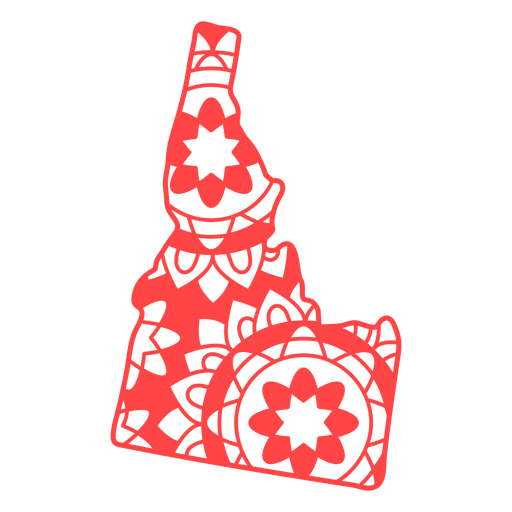
Idaho state mandala map PNG Design
Arkansas state mandala map PNG Design
Choose a folder
All favorites
Create new
Save
Arkansas state mandala map PNG Design
Idaho state mandala map stroke PNG Design
Choose a folder
All favorites
Create new
Save
Idaho state mandala map stroke PNG Design
Love american flaag filled stroke PNG Design
Choose a folder
All favorites
Create new
Save
Love american flaag filled stroke PNG Design
USA badge lettering PNG Design
Choose a folder
All favorites
Create new
Save
USA badge lettering PNG Design
Liberty text badge PNG Design
Choose a folder
All favorites
Create new
Save
Liberty text badge PNG Design
Liberty american star hand drawn badge PNG Design
Choose a folder
All favorites
Create new
Save
Liberty american star hand drawn badge PNG Design
Happy veteran day badge PNG Design
Choose a folder
All favorites
Create new
Save
Happy veteran day badge PNG Design
Liberty torch black PNG Design
Choose a folder
All favorites
Create new
Save
Liberty torch black PNG Design
Patriotic american top hat icon PNG Design
Choose a folder
All favorites
Create new
Save
Patriotic american top hat icon PNG Design
Patriotic prize ribbon element PNG Design
Choose a folder
All favorites
Create new
Save
Patriotic prize ribbon element PNG Design
Us republican party symbol stroke PNG Design
Choose a folder
All favorites
Create new
Save
Us republican party symbol stroke PNG Design
Premium
Veterans day badge set
Choose a folder
All favorites
Create new
Save
Veterans day badge set
Premium
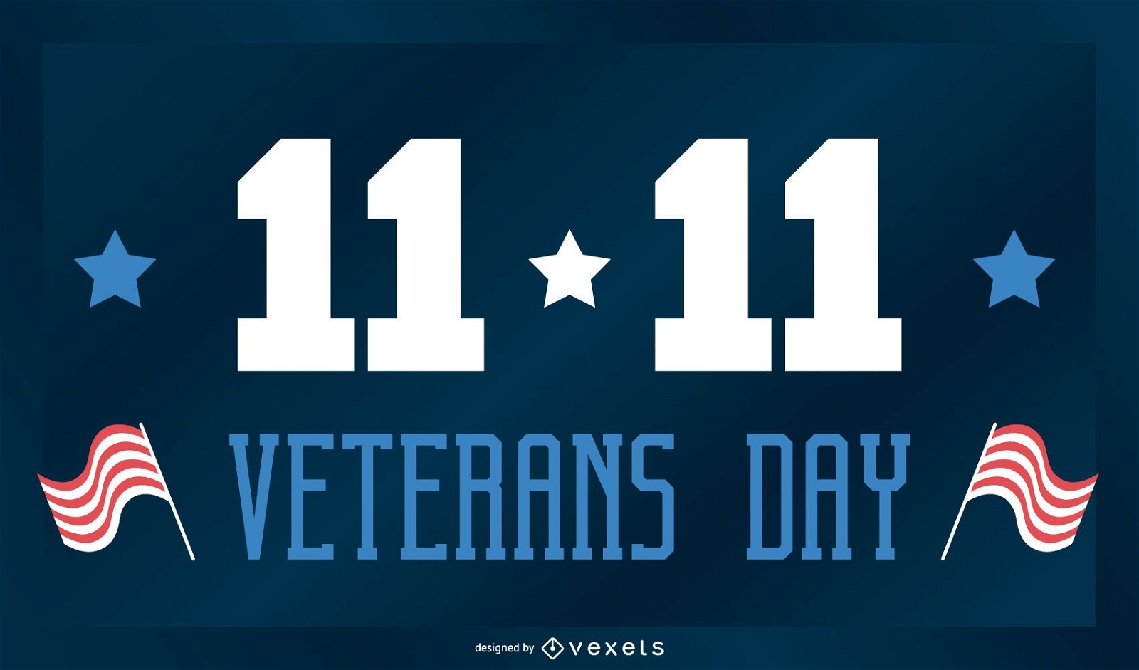
Veterans day holiday banner
Choose a folder
All favorites
Create new
Save
Veterans day holiday banner
Editable text
Premium
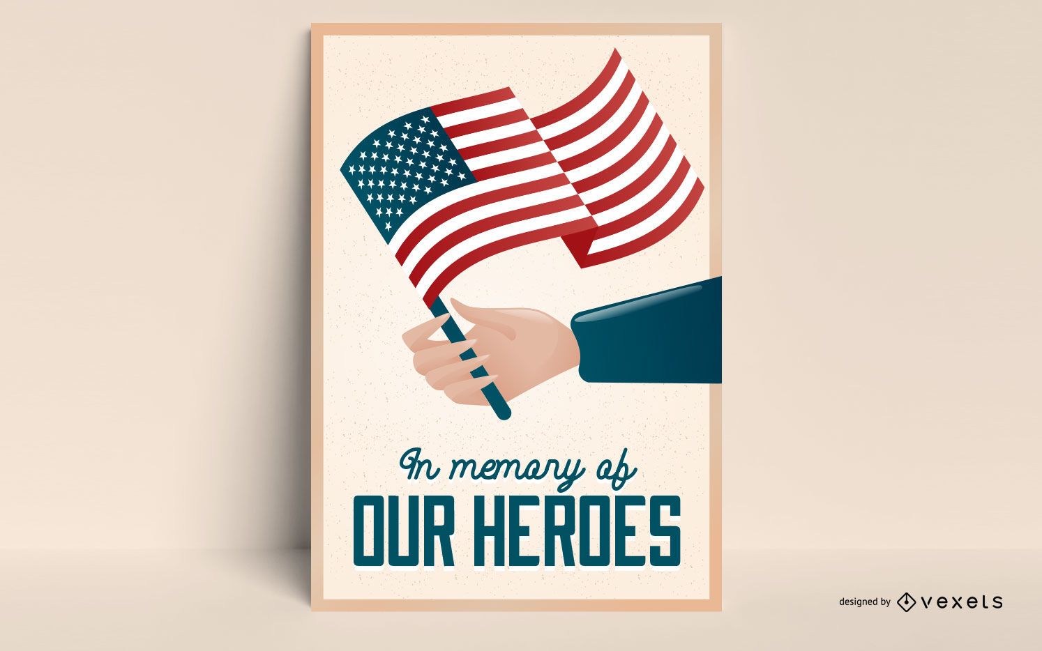
Veterans day editable poster
Choose a folder
All favorites
Create new
Save
Veterans day editable poster
Premium
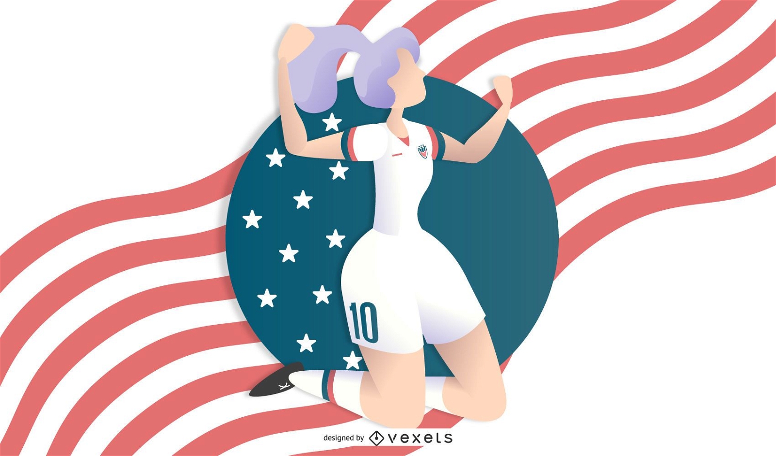
Woman Soccer Illustration
Choose a folder
All favorites
Create new
Save
Woman Soccer Illustration
Premium
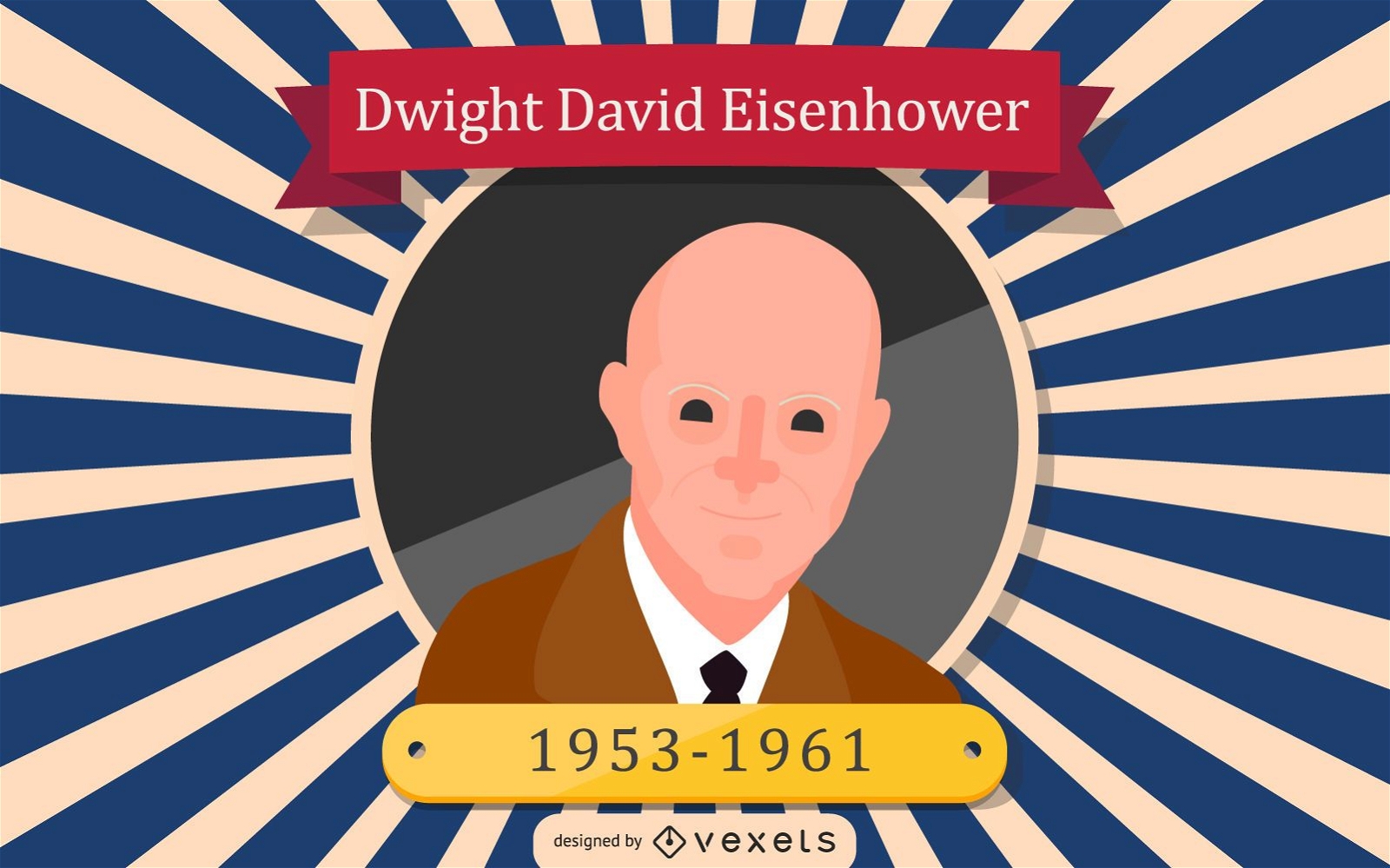
Dwight David Eisenhower Cartoon Illustration
Choose a folder
All favorites
Create new
Save
Dwight David Eisenhower Cartoon Illustration
Premium
Independence day medal icon PNG Design
Choose a folder
All favorites
Create new
Save
Independence day medal icon PNG Design
Premium
Pair of boots with an american flag PNG Design
Choose a folder
All favorites
Create new
Save
Pair of boots with an american flag PNG Design
Premium
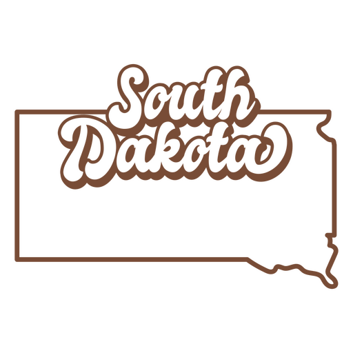
The word south dakota PNG Design
Choose a folder
All favorites
Create new
Save
The word south dakota PNG Design
Premium
Simple hot dog fast food PNG Design
Choose a folder
All favorites
Create new
Save
Simple hot dog fast food PNG Design
USA elements bird character stroke PNG Design
Choose a folder
All favorites
Create new
Save
USA elements bird character stroke PNG Design
Dollar stroke head PNG Design
Choose a folder
All favorites
Create new
Save
Dollar stroke head PNG Design
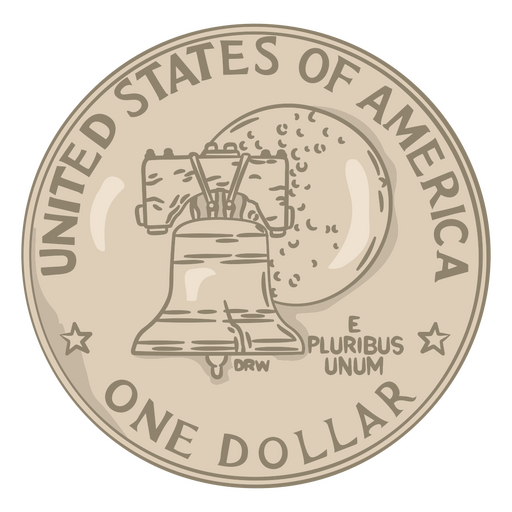
One dollar illustration coin PNG Design
Choose a folder
All favorites
Create new
Save
One dollar illustration coin PNG Design
Cherry pie filled stroke food treats PNG Design
Choose a folder
All favorites
Create new
Save
Cherry pie filled stroke food treats PNG Design
Tennessee Mandala Map PNG Design
Choose a folder
All favorites
Create new
Save
Tennessee Mandala Map PNG Design
Cookies filled stroke food treats PNG Design
Choose a folder
All favorites
Create new
Save
Cookies filled stroke food treats PNG Design
Sugar candy filled stroke food treats PNG Design
Choose a folder
All favorites
Create new
Save
Sugar candy filled stroke food treats PNG Design
New York Mandala Map PNG Design
Choose a folder
All favorites
Create new
Save
New York Mandala Map PNG Design
Polygonal Rhode Island Map PNG Design
Choose a folder
All favorites
Create new
Save
Polygonal Rhode Island Map PNG Design
Polygonal Wyoming State Map PNG Design
Choose a folder
All favorites
Create new
Save
Polygonal Wyoming State Map PNG Design
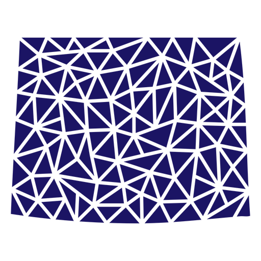
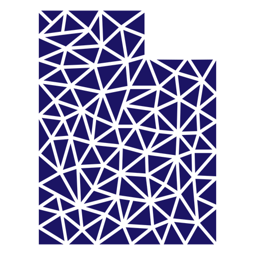
Polygonal Utah State Map PNG Design
Choose a folder
All favorites
Create new
Save
Polygonal Utah State Map PNG Design
Liberty fourth of july badge PNG Design
Choose a folder
All favorites
Create new
Save
Liberty fourth of july badge PNG Design
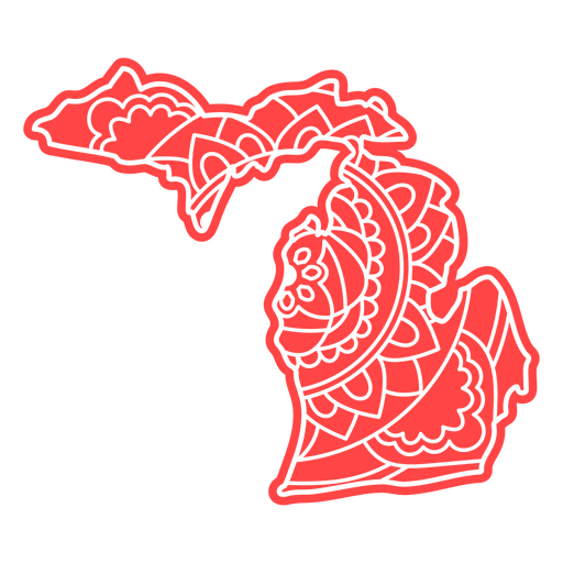
Michigan state mandala map PNG Design
Choose a folder
All favorites
Create new
Save
Michigan state mandala map PNG Design
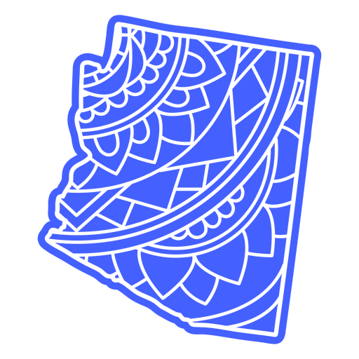
Arizona state mandala map PNG Design
Choose a folder
All favorites
Create new
Save
Arizona state mandala map PNG Design
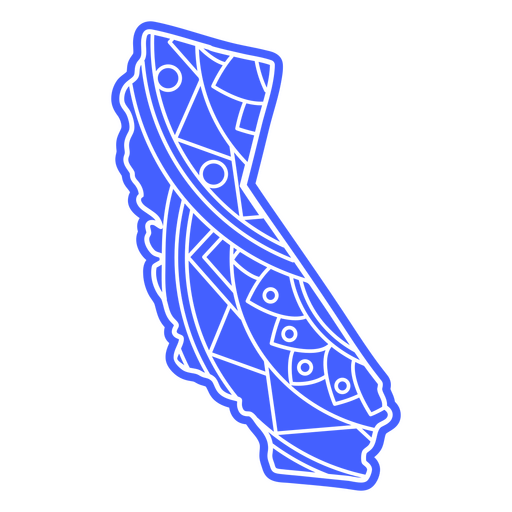
California state mandala map PNG Design
Choose a folder
All favorites
Create new
Save
California state mandala map PNG Design
Illinois state mandala map stroke PNG Design
Choose a folder
All favorites
Create new
Save
Illinois state mandala map stroke PNG Design
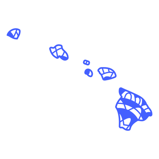
Hawaii state mandala map stroke PNG Design
Choose a folder
All favorites
Create new
Save
Hawaii state mandala map stroke PNG Design
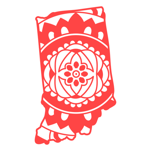
Indiana state mandala map stroke PNG Design
Choose a folder
All favorites
Create new
Save
Indiana state mandala map stroke PNG Design
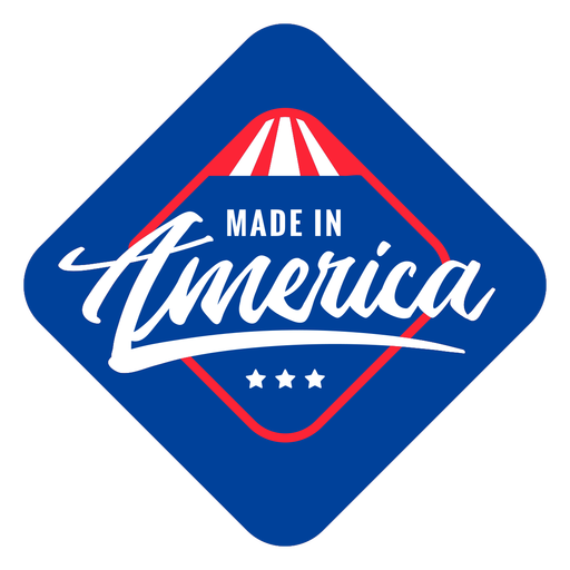
Made in America quote flat PNG Design
Choose a folder
All favorites
Create new
Save
Made in America quote flat PNG Design
American vibes patriot quote flat PNG Design
Choose a folder
All favorites
Create new
Save
American vibes patriot quote flat PNG Design
American flag star lips badge filled stroke PNG Design
Choose a folder
All favorites
Create new
Save
American flag star lips badge filled stroke PNG Design
Freedom american flag badge cut out PNG Design
Choose a folder
All favorites
Create new
Save
Freedom american flag badge cut out PNG Design
Love american flag filled stroke badge PNG Design
Choose a folder
All favorites
Create new
Save
Love american flag filled stroke badge PNG Design
USA american flag filled stroke badge PNG Design
Choose a folder
All favorites
Create new
Save
USA american flag filled stroke badge PNG Design
Liberty american flag filled stroke PNG Design
Choose a folder
All favorites
Create new
Save
Liberty american flag filled stroke PNG Design
Star and american flag filled stroke PNG Design
Choose a folder
All favorites
Create new
Save
Star and american flag filled stroke PNG Design
Boost Your Business
With The Leading Graphic Platform For Merch.
SEE PLANS
Next
of 69
prev page
next page