Design Library
New Merch Designs
T-Shirts
Vectors
Trending Merch Designs
PNGs & SVGs
Mockups
T-Shirt PSD Templates
Explore Designs
KDP Designs
Posters
Mugs
Phone Cases
Tote Bags
Pillows
Design Tools
Merch Designer
New!
Mockup Generator
AI Design Generator
Image Vectorizer
Quote Generator
T-Shirt Maker (Old)
Resources
Merch Digest
Blog
Help Center
Learn About Merch
Feedback
Corporate Solutions
Enterprise
API Access
Design Studio
Bulk Design Production
Pricing
Loading...
Sign Up
Login
All
estados
Design Library
New Merch Designs
T-Shirts
Vectors
Trending Merch Designs
PNGs & SVGs
Mockups
T-Shirt PSD Templates
Explore Designs
KDP Designs
Posters
Mugs
Phone Cases
Tote Bags
Pillows
Design Tools
Merch Designer
New!
Mockup Generator
AI Design Generator
Image Vectorizer
Quote Generator
T-Shirt Maker (Old)
Resources
Merch Digest
Blog
Help Center
Learn About Merch
Feedback
Corporate Solutions
Enterprise
API Access
Design Studio
Bulk Design Production
PLANS
All
estados
3409 estados designs graphics for t-shirt and print on demand merch
Download estados t-shirt designs and other merch graphics like book covers, phone cases, tote bags and more.
Sort by
Most relevant
Sponsored results by
Get 15% off with code: VEXELS15
Show more
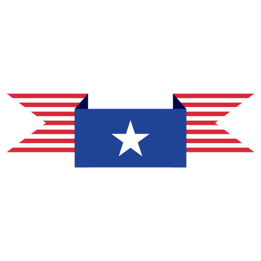
Stripe fold blue usa ribbon PNG Design
Choose a folder
All favorites
Create new
Save
Stripe fold blue usa ribbon PNG Design
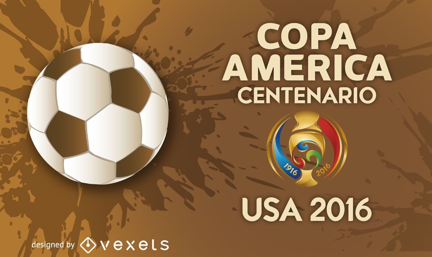
Copa America 2016 banner
Choose a folder
All favorites
Create new
Save
Copa America 2016 banner
Print ready
for Merch
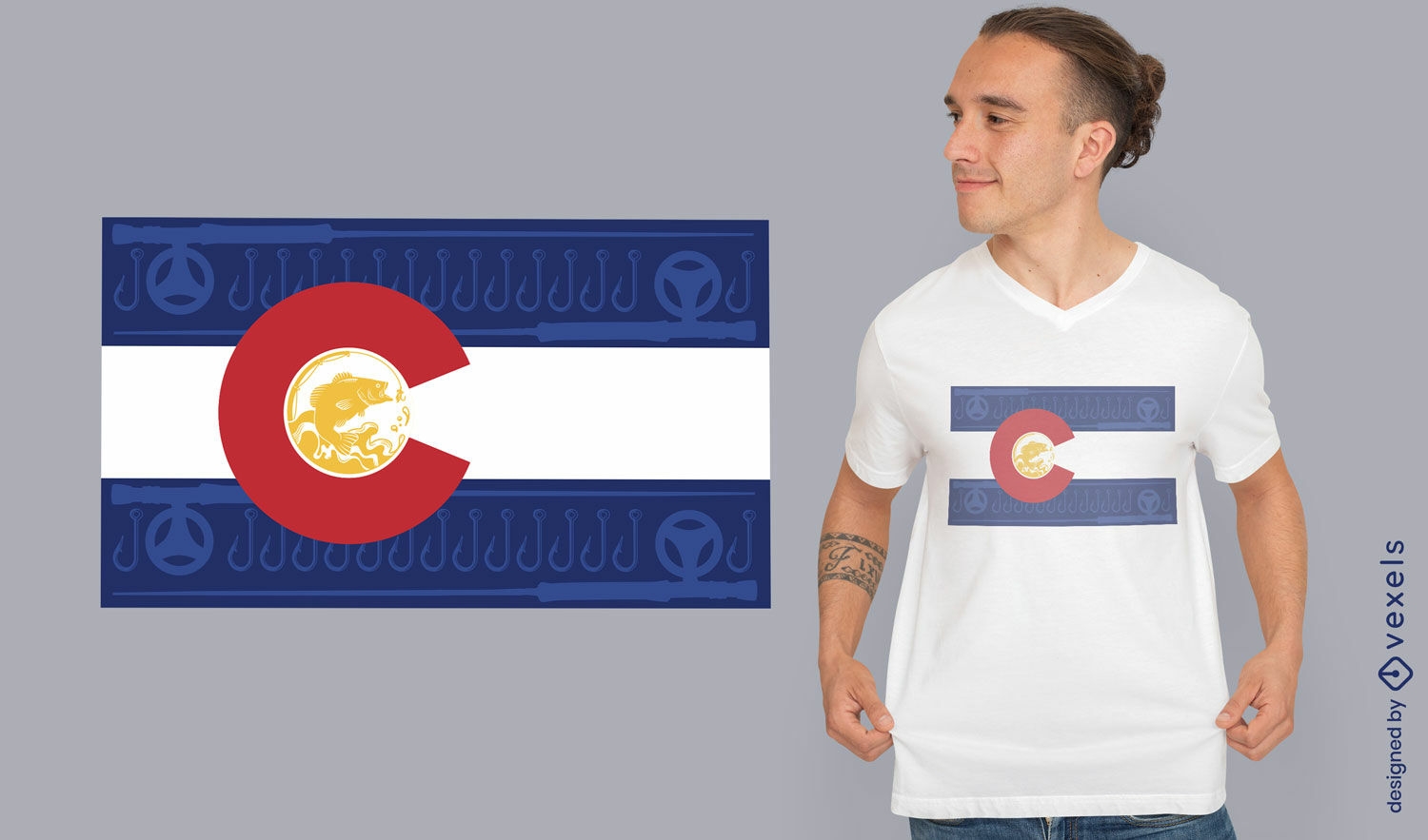
Colorado flag t-shirt design
Choose a folder
All favorites
Create new
Save
Colorado flag t-shirt design
Premium
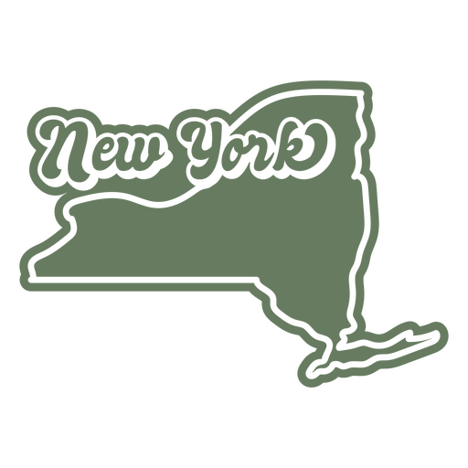
New york state sticker PNG Design
Choose a folder
All favorites
Create new
Save
New york state sticker PNG Design
Editable text
Print ready
for Merch
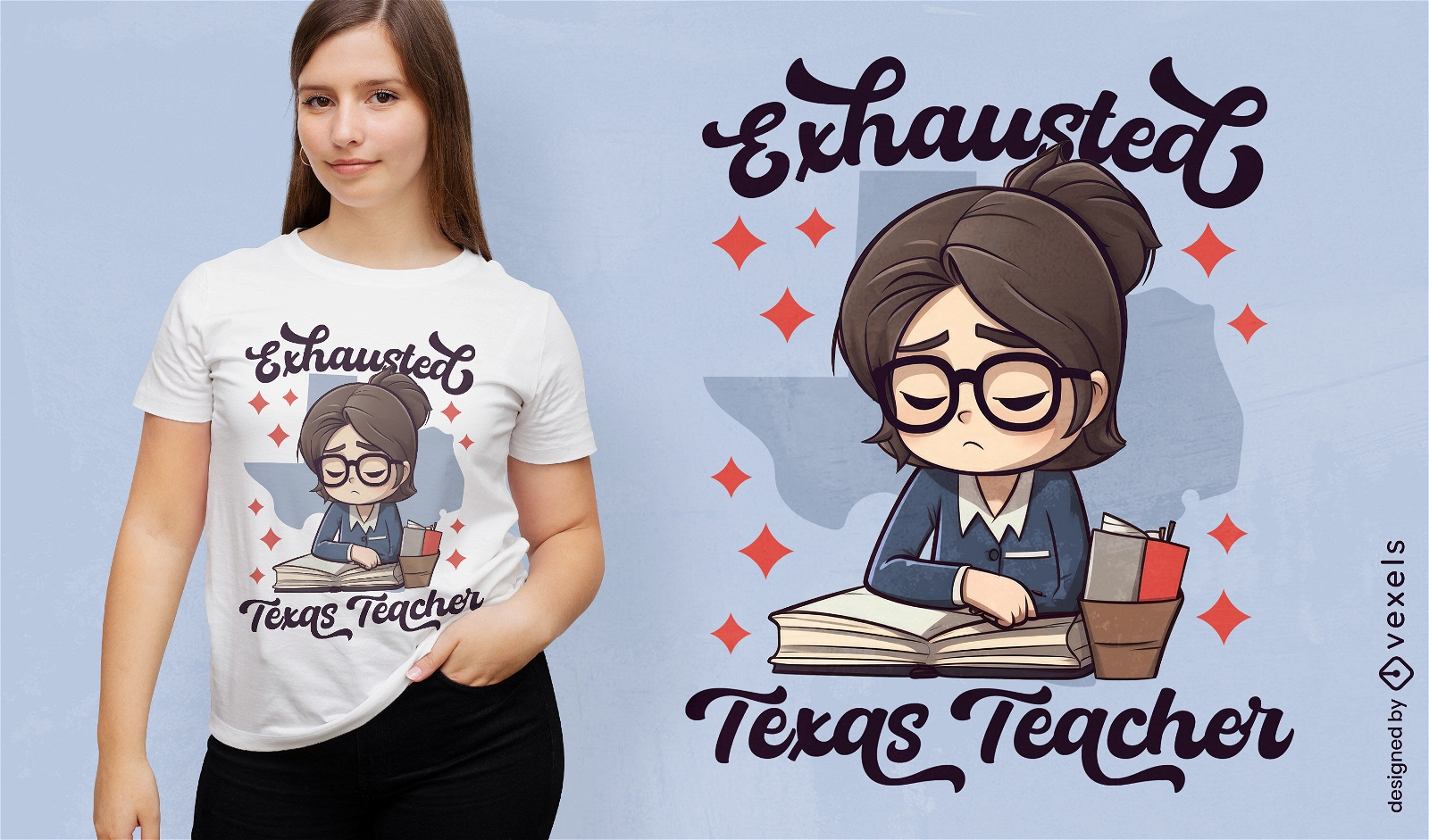
Tired teacher in Texas t-shirt design
Choose a folder
All favorites
Create new
Save
Tired teacher in Texas t-shirt design
Editable text
Print ready
for Merch
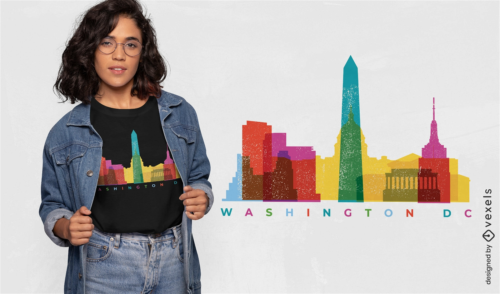
Washington colorful landmarks t-shirt design
Choose a folder
All favorites
Create new
Save
Washington colorful landmarks t-shirt design
Premium
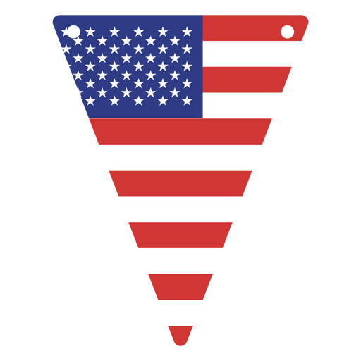
USA flag-inspired triangular pennant PNG Design
Choose a folder
All favorites
Create new
Save
USA flag-inspired triangular pennant PNG Design
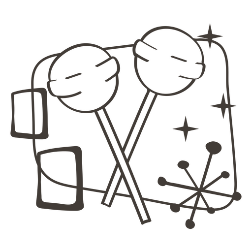
Lollipop stroke food treats PNG Design
Choose a folder
All favorites
Create new
Save
Lollipop stroke food treats PNG Design
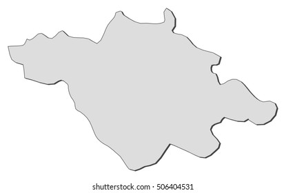
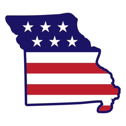
Missouri state map color stroke PNG Design
Choose a folder
All favorites
Create new
Save
Missouri state map color stroke PNG Design
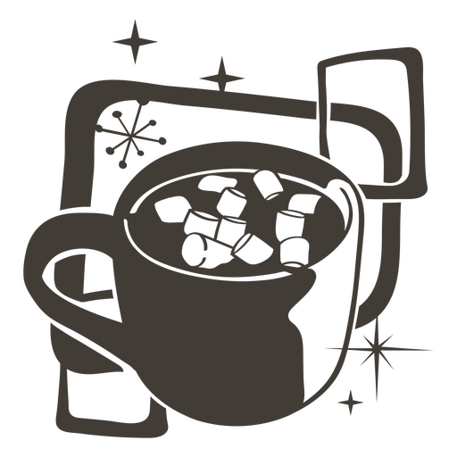
Hot cocoa filled stroke food treats PNG Design
Choose a folder
All favorites
Create new
Save
Hot cocoa filled stroke food treats PNG Design
Popcorn filled stroke food treats PNG Design
Choose a folder
All favorites
Create new
Save
Popcorn filled stroke food treats PNG Design
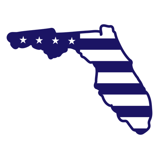
Florida map filled stroke PNG Design
Choose a folder
All favorites
Create new
Save
Florida map filled stroke PNG Design
Freedom stroke badge PNG Design
Choose a folder
All favorites
Create new
Save
Freedom stroke badge PNG Design
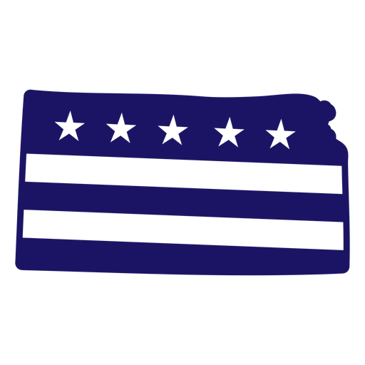
Kansas map filled stroke PNG Design
Choose a folder
All favorites
Create new
Save
Kansas map filled stroke PNG Design
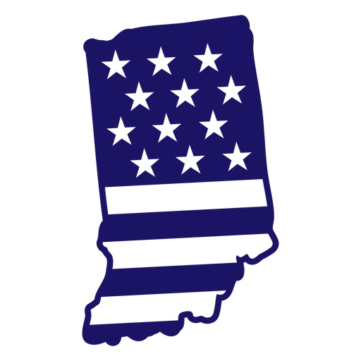
Indiana map color stroke PNG Design
Choose a folder
All favorites
Create new
Save
Indiana map color stroke PNG Design
Land of the free because of the brave badge PNG Design
Choose a folder
All favorites
Create new
Save
Land of the free because of the brave badge PNG Design
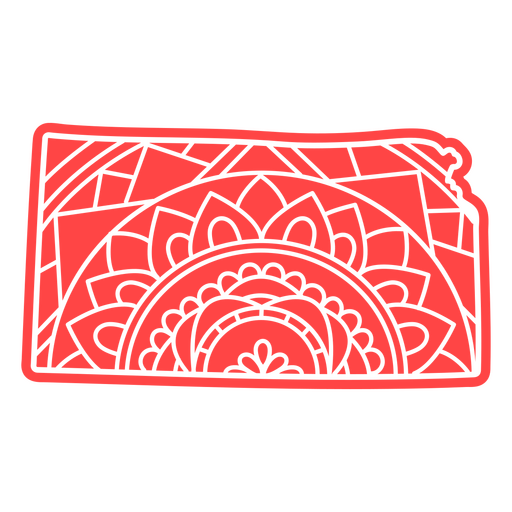
Kansas state mandala map PNG Design
Choose a folder
All favorites
Create new
Save
Kansas state mandala map PNG Design
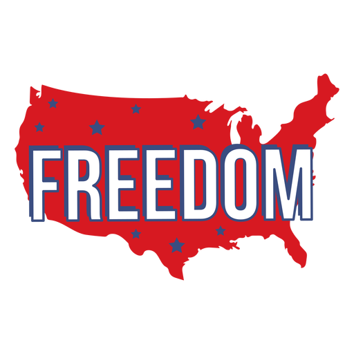
Freedom quote semi flat PNG Design
Choose a folder
All favorites
Create new
Save
Freedom quote semi flat PNG Design
American map liberty badge PNG Design
Choose a folder
All favorites
Create new
Save
American map liberty badge PNG Design
America flag heart hand drawn badge PNG Design
Choose a folder
All favorites
Create new
Save
America flag heart hand drawn badge PNG Design
America flag eagle hand drawn badge PNG Design
Choose a folder
All favorites
Create new
Save
America flag eagle hand drawn badge PNG Design
Liberty star american flag filled stroke badge PNG Design
Choose a folder
All favorites
Create new
Save
Liberty star american flag filled stroke badge PNG Design
Liberty torch flat icon PNG Design
Choose a folder
All favorites
Create new
Save
Liberty torch flat icon PNG Design
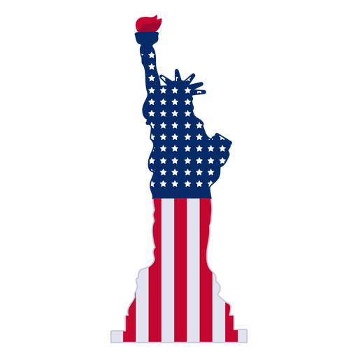
Statue of liberty stroke statue of liberty PNG Design
Choose a folder
All favorites
Create new
Save
Statue of liberty stroke statue of liberty PNG Design
Waving pennant hand drawn PNG Design
Choose a folder
All favorites
Create new
Save
Waving pennant hand drawn PNG Design
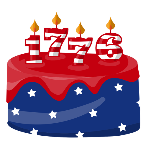
1776 american cake PNG Design
Choose a folder
All favorites
Create new
Save
1776 american cake PNG Design
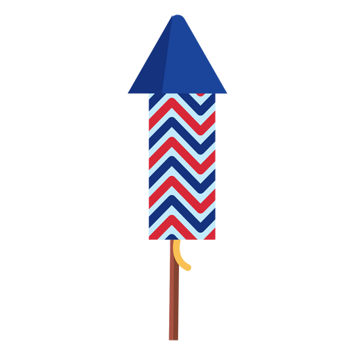
Patriotic zigzag firework rocket element PNG Design
Choose a folder
All favorites
Create new
Save
Patriotic zigzag firework rocket element PNG Design
Premium
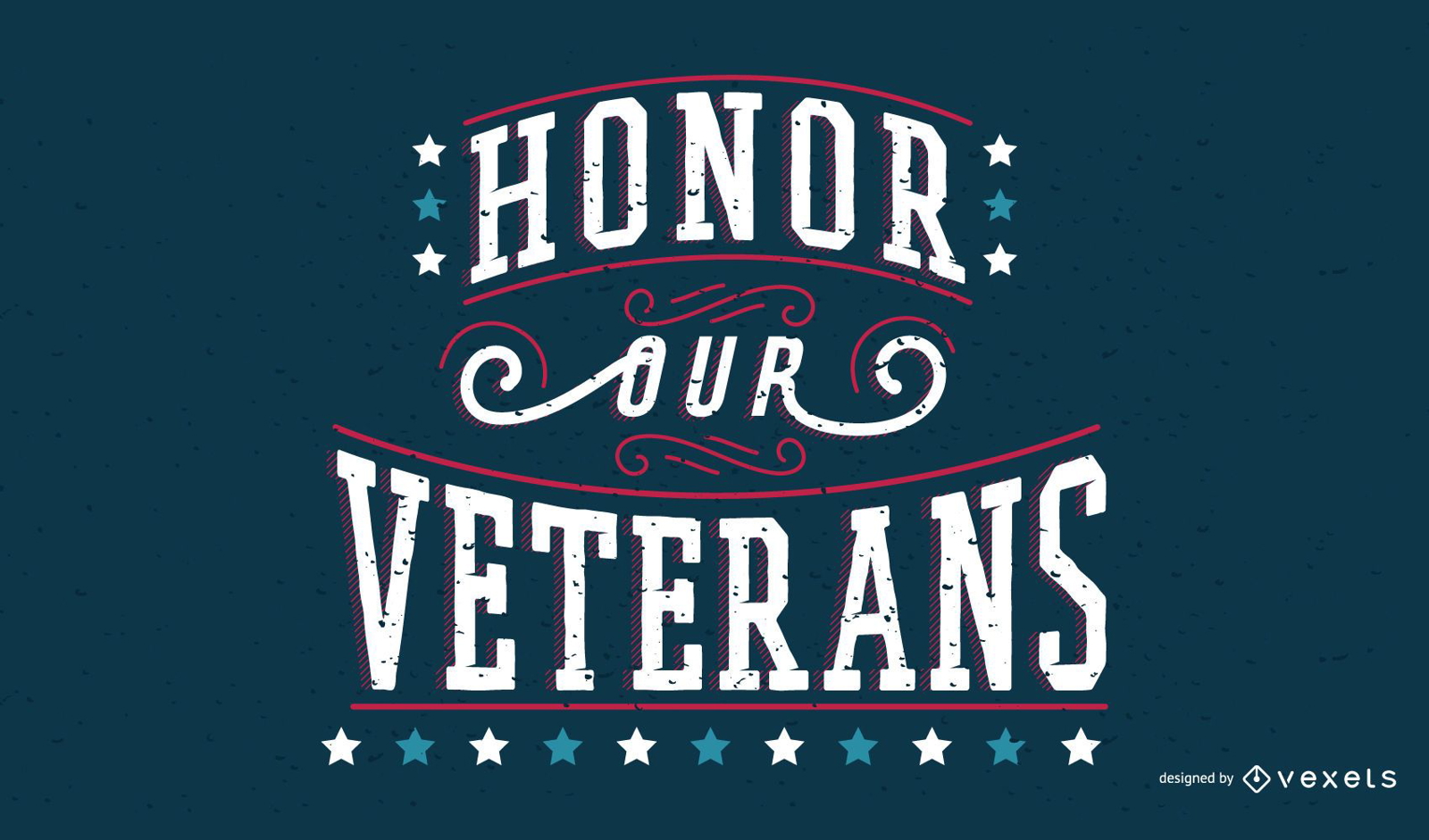
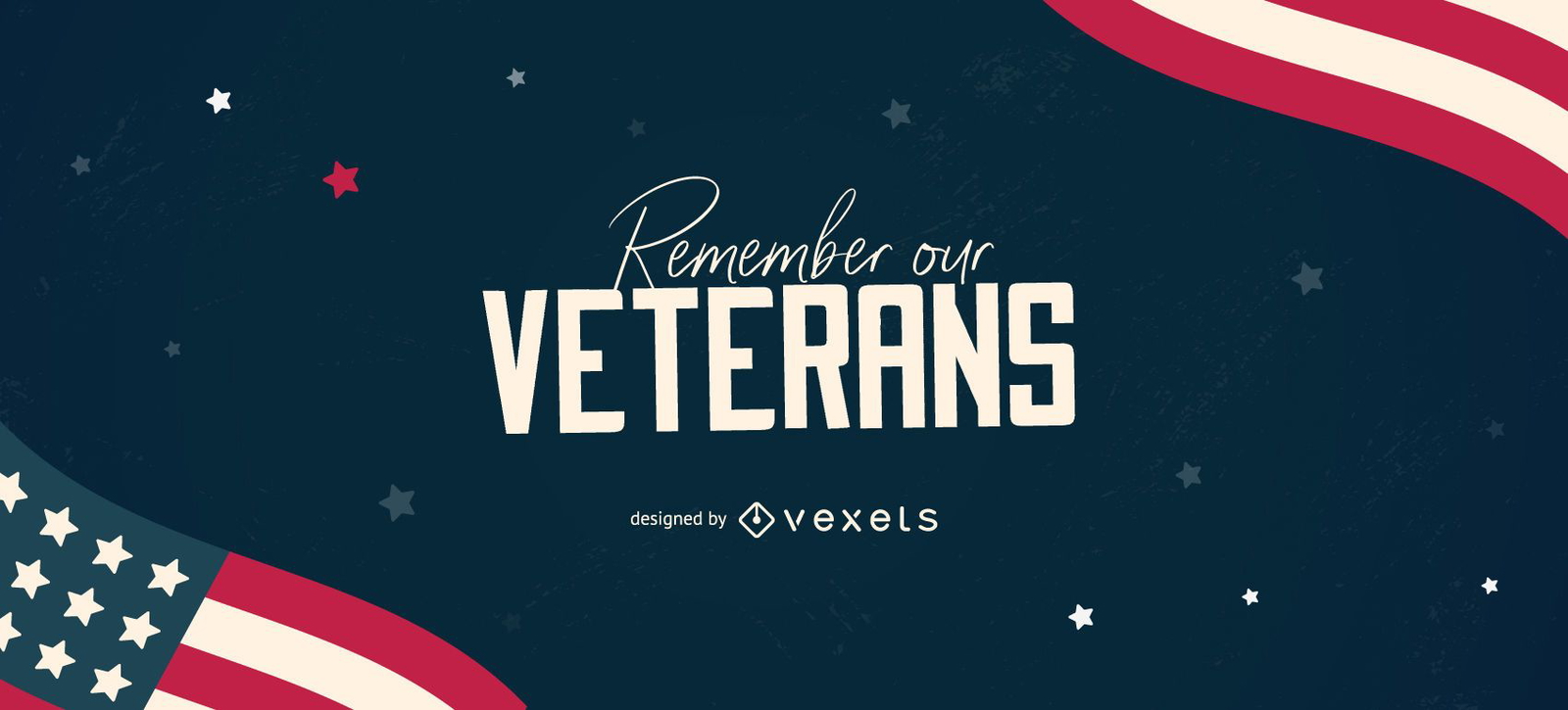
Veterans Day Quote Banner
Choose a folder
All favorites
Create new
Save
Veterans Day Quote Banner
Editable text
Premium
Veterans editable slider design
Choose a folder
All favorites
Create new
Save
Veterans editable slider design
Editable text
Premium
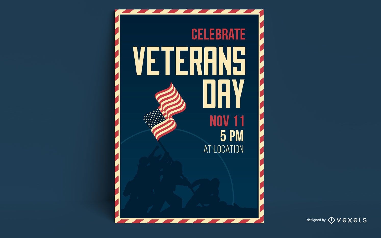
Veterans day poster template
Choose a folder
All favorites
Create new
Save
Veterans day poster template
Print ready
for Merch
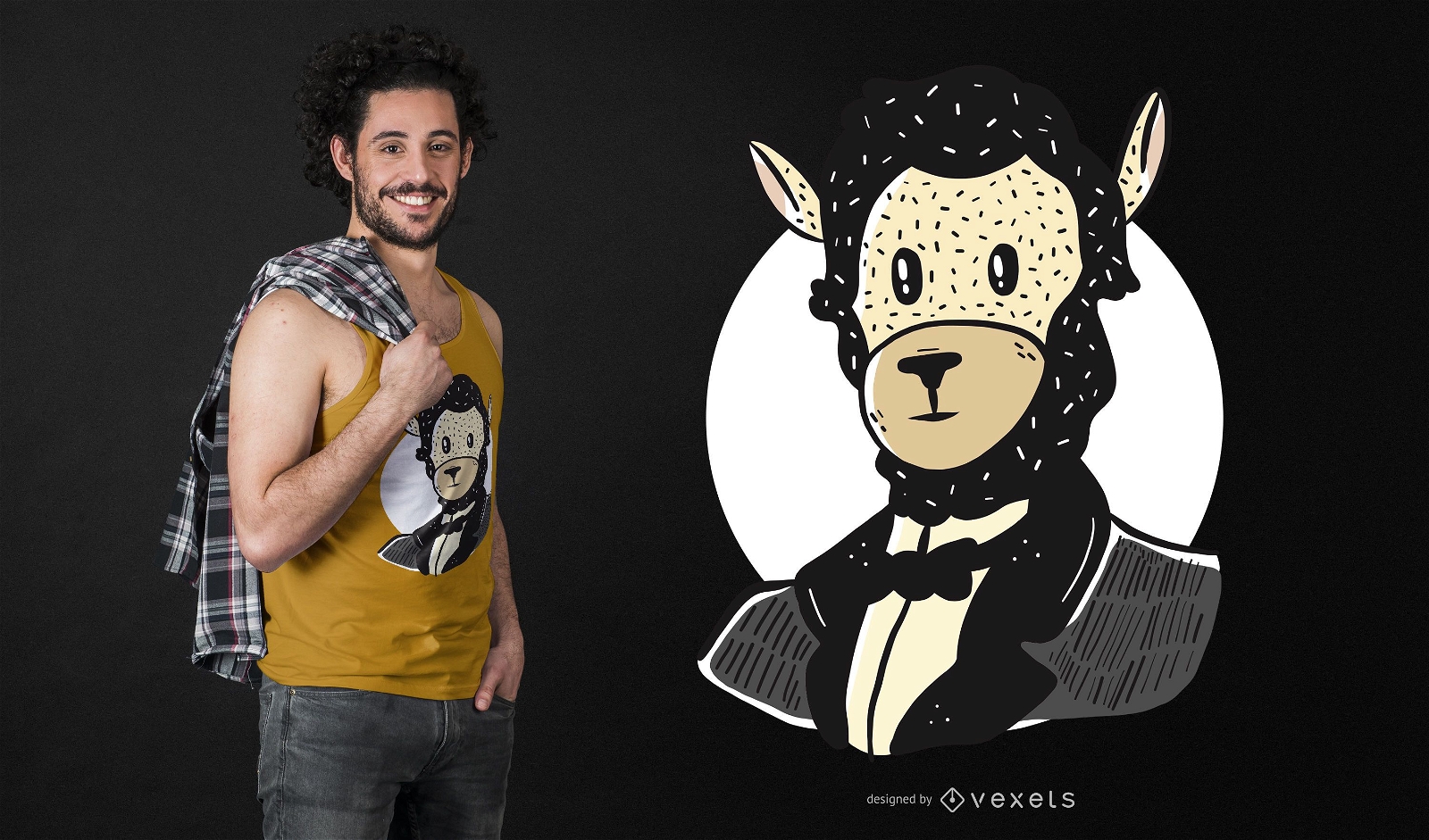
Lincoln Llama T-shirt Design
Choose a folder
All favorites
Create new
Save
Lincoln Llama T-shirt Design
Premium
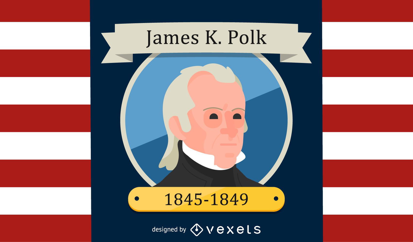
James K. Polk Cartoon Illustration
Choose a folder
All favorites
Create new
Save
James K. Polk Cartoon Illustration
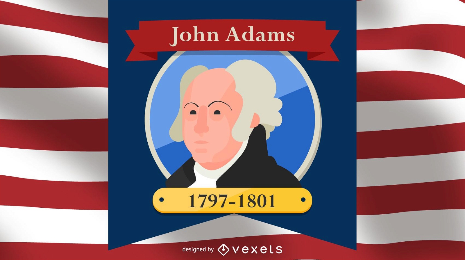
President John Adams Cartoon Illustration
Choose a folder
All favorites
Create new
Save
President John Adams Cartoon Illustration
Premium
Badge flag silhouette PNG Design
Choose a folder
All favorites
Create new
Save
Badge flag silhouette PNG Design
Premium
Statue of liberty design element PNG Design
Choose a folder
All favorites
Create new
Save
Statue of liberty design element PNG Design
Premium
Halloween pumpkin circle icon PNG Design
Choose a folder
All favorites
Create new
Save
Halloween pumpkin circle icon PNG Design
Premium
Rugby ball round icon PNG Design
Choose a folder
All favorites
Create new
Save
Rugby ball round icon PNG Design
Usa star badge PNG Design
Choose a folder
All favorites
Create new
Save
Usa star badge PNG Design
Premium
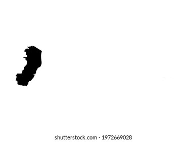
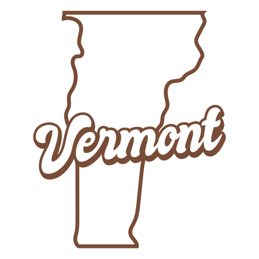
The state of vermont is shown PNG Design
Choose a folder
All favorites
Create new
Save
The state of vermont is shown PNG Design
AI generated, curated by our designers
for Merch
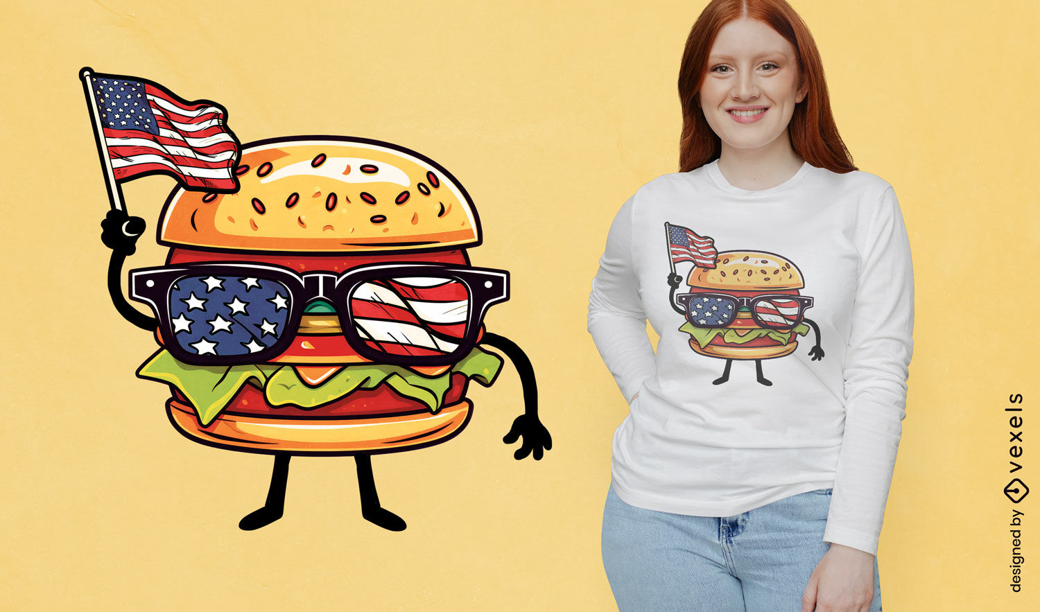
Patriotic burger character t-shirt design
Choose a folder
All favorites
Create new
Save
Patriotic burger character t-shirt design
Editable text
Print ready
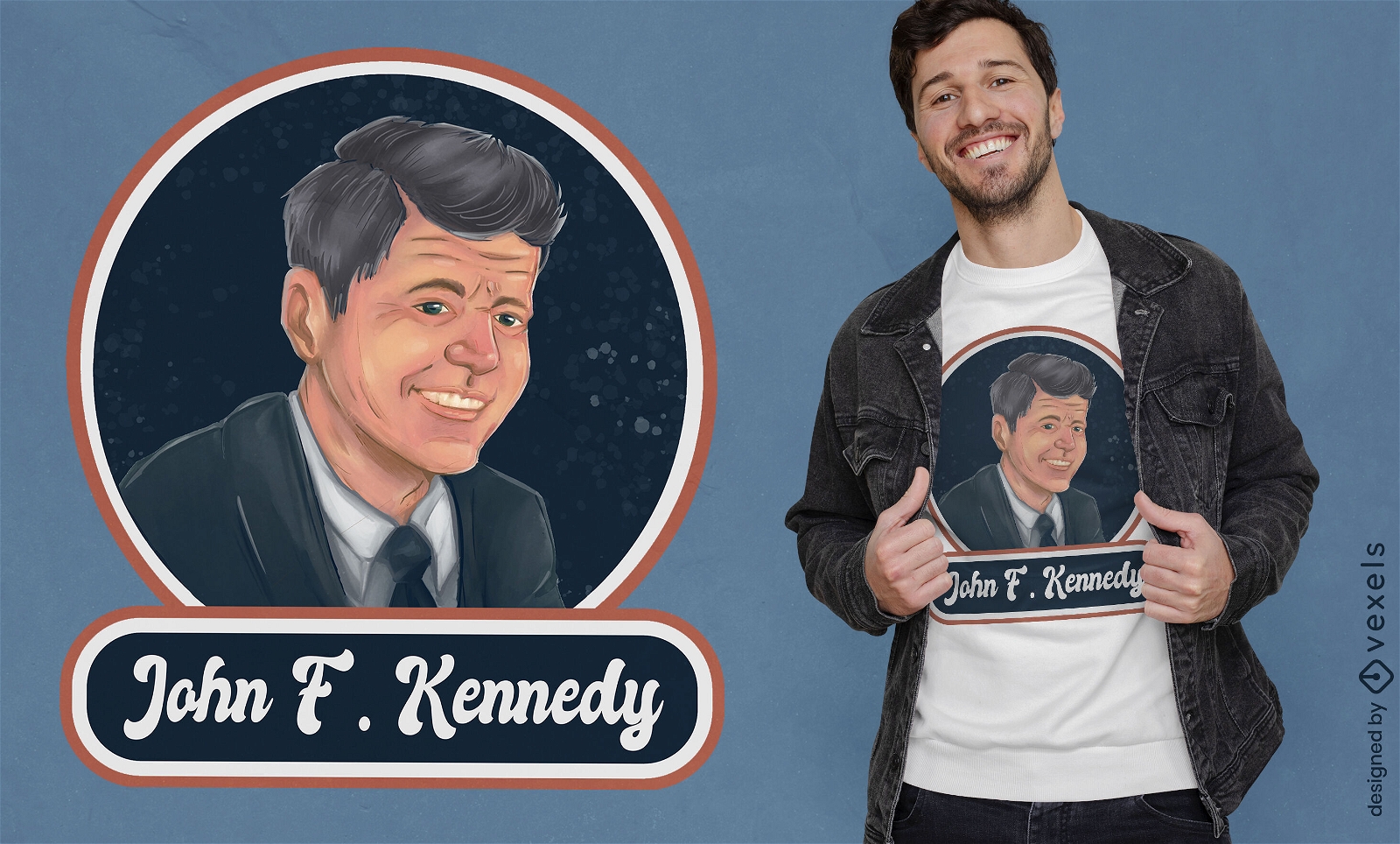
John F. Kennedy portrait t-shirt design
Choose a folder
All favorites
Create new
Save
John F. Kennedy portrait t-shirt design
Print ready
Premium
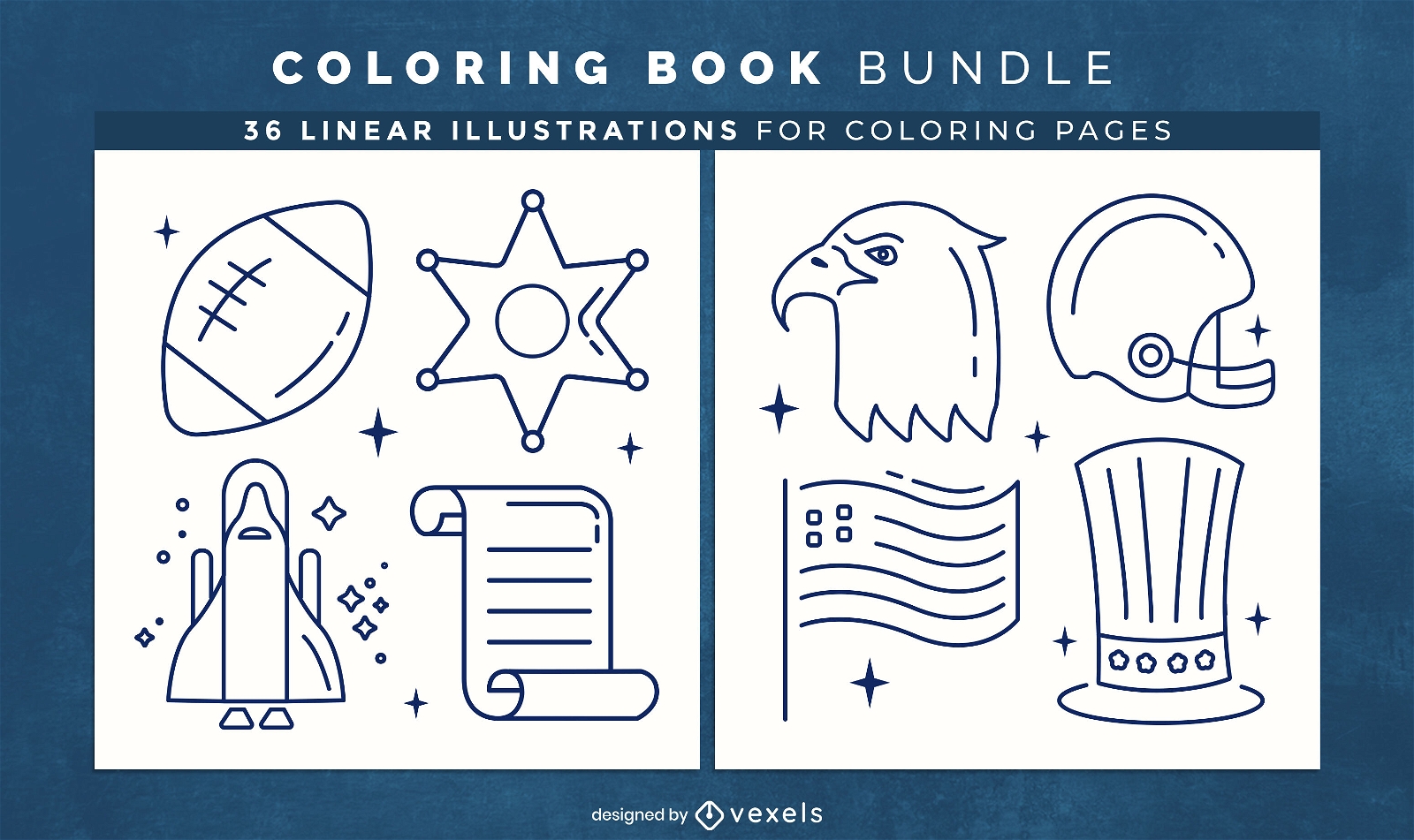
Patriotic USA coloring book design pages
Choose a folder
All favorites
Create new
Save
Patriotic USA coloring book design pages
Marshmallow retro food treats PNG Design
Choose a folder
All favorites
Create new
Save
Marshmallow retro food treats PNG Design
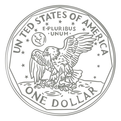
One dollar stroke tail PNG Design
Choose a folder
All favorites
Create new
Save
One dollar stroke tail PNG Design
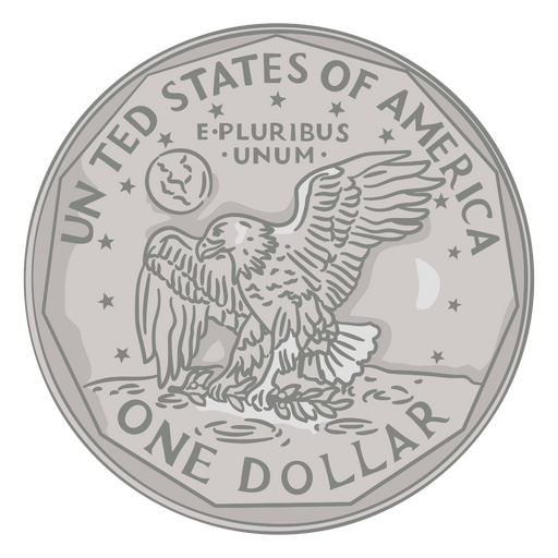
One dollar illustration tail PNG Design
Choose a folder
All favorites
Create new
Save
One dollar illustration tail PNG Design
Kentucky map polygonal PNG Design
Choose a folder
All favorites
Create new
Save
Kentucky map polygonal PNG Design
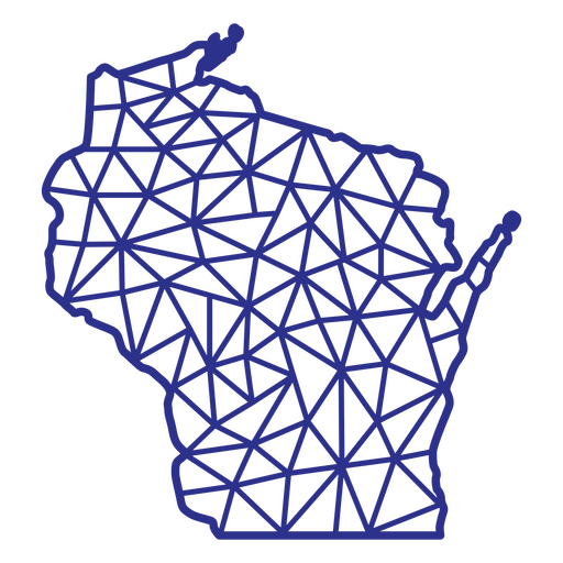
Wisconsin map polygonal PNG Design
Choose a folder
All favorites
Create new
Save
Wisconsin map polygonal PNG Design
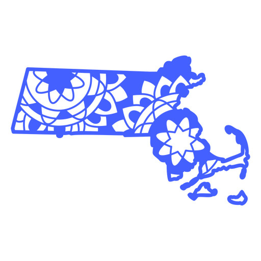
Massachusetts map mandala PNG Design
Choose a folder
All favorites
Create new
Save
Massachusetts map mandala PNG Design
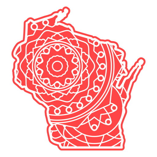
Wisconsin Mandala Map PNG Design
Choose a folder
All favorites
Create new
Save
Wisconsin Mandala Map PNG Design
Let freedom ring cut out PNG Design
Choose a folder
All favorites
Create new
Save
Let freedom ring cut out PNG Design
Boost Your Business
With The Leading Graphic Platform For Merch.
SEE PLANS
Next
of 69
prev page
next page