Design Library
New Merch Designs
T-Shirts
Vectors
Trending Merch Designs
PNGs & SVGs
Mockups
T-Shirt PSD Templates
Explore Designs
KDP Designs
Posters
Mugs
Phone Cases
Tote Bags
Pillows
Design Tools
Merch Designer
New!
Mockup Generator
AI Design Generator
Image Vectorizer
Quote Generator
T-Shirt Maker (Old)
Resources
Merch Digest
Blog
Help Center
Learn About Merch
Feedback
Corporate Solutions
Enterprise
API Access
Design Studio
Bulk Design Production
Pricing
Loading...
Sign Up
Login
All
estados
Design Library
New Merch Designs
T-Shirts
Vectors
Trending Merch Designs
PNGs & SVGs
Mockups
T-Shirt PSD Templates
Explore Designs
KDP Designs
Posters
Mugs
Phone Cases
Tote Bags
Pillows
Design Tools
Merch Designer
New!
Mockup Generator
AI Design Generator
Image Vectorizer
Quote Generator
T-Shirt Maker (Old)
Resources
Merch Digest
Blog
Help Center
Learn About Merch
Feedback
Corporate Solutions
Enterprise
API Access
Design Studio
Bulk Design Production
PLANS
All
estados
3409 estados designs graphics for t-shirt and print on demand merch
Download estados t-shirt designs and other merch graphics like book covers, phone cases, tote bags and more.
Sort by
Most relevant
Sponsored results by
Get 15% off with code: VEXELS15
Show more
American flying eagle cut out badge PNG Design
Choose a folder
All favorites
Create new
Save
American flying eagle cut out badge PNG Design
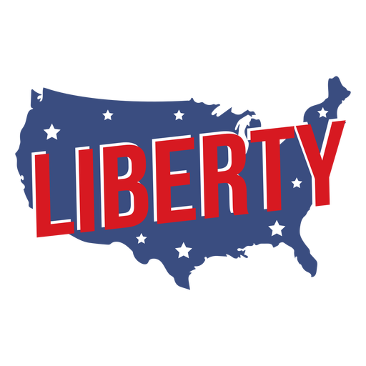
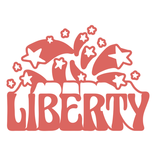
Liberty quote semi flat PNG Design
Choose a folder
All favorites
Create new
Save
Liberty quote semi flat PNG Design
Editable text
Premium
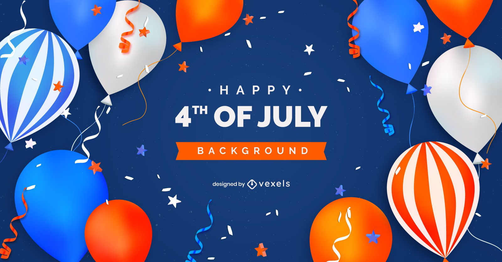
Fourth of july balloons background
Choose a folder
All favorites
Create new
Save
Fourth of july balloons background
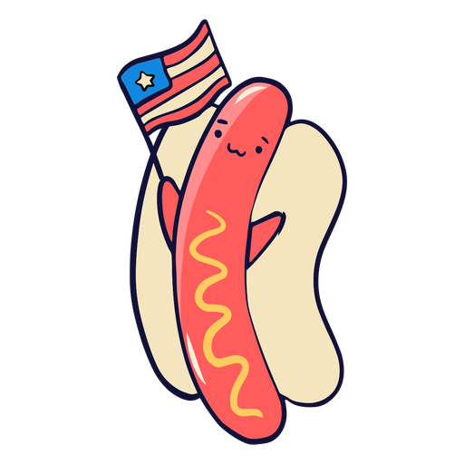
American hot dog cute PNG Design
Choose a folder
All favorites
Create new
Save
American hot dog cute PNG Design
Patriot american flag filled stroke badge PNG Design
Choose a folder
All favorites
Create new
Save
Patriot american flag filled stroke badge PNG Design
Premium
America independence day slider template
Choose a folder
All favorites
Create new
Save
America independence day slider template
Premium
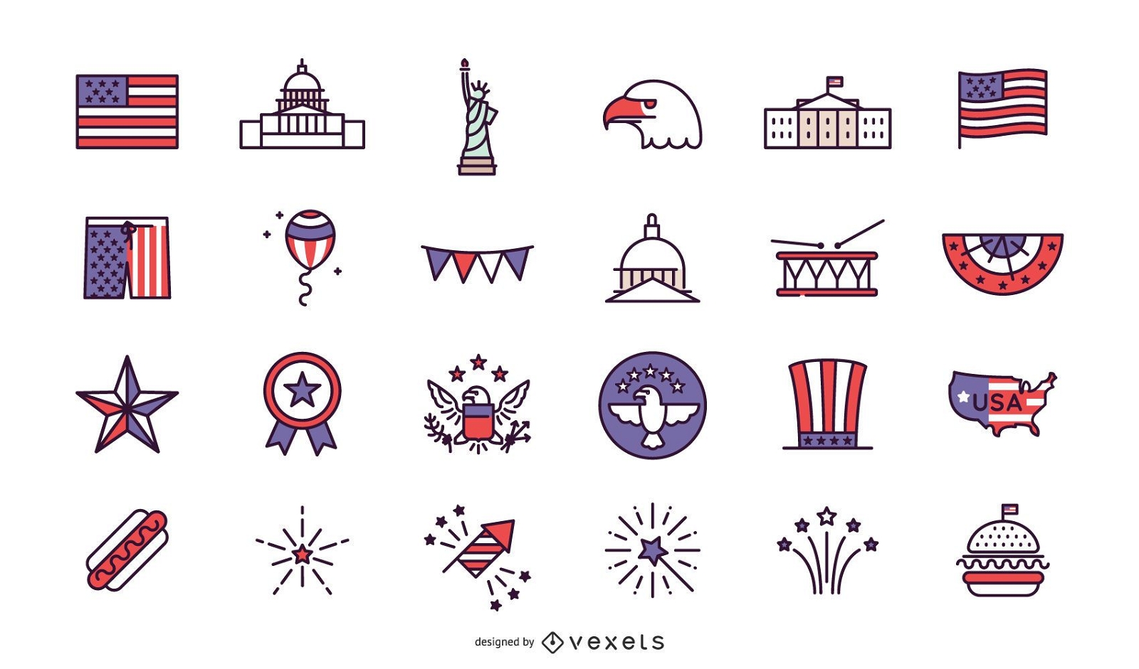
Independence day stroke collection
Choose a folder
All favorites
Create new
Save
Independence day stroke collection
Premium
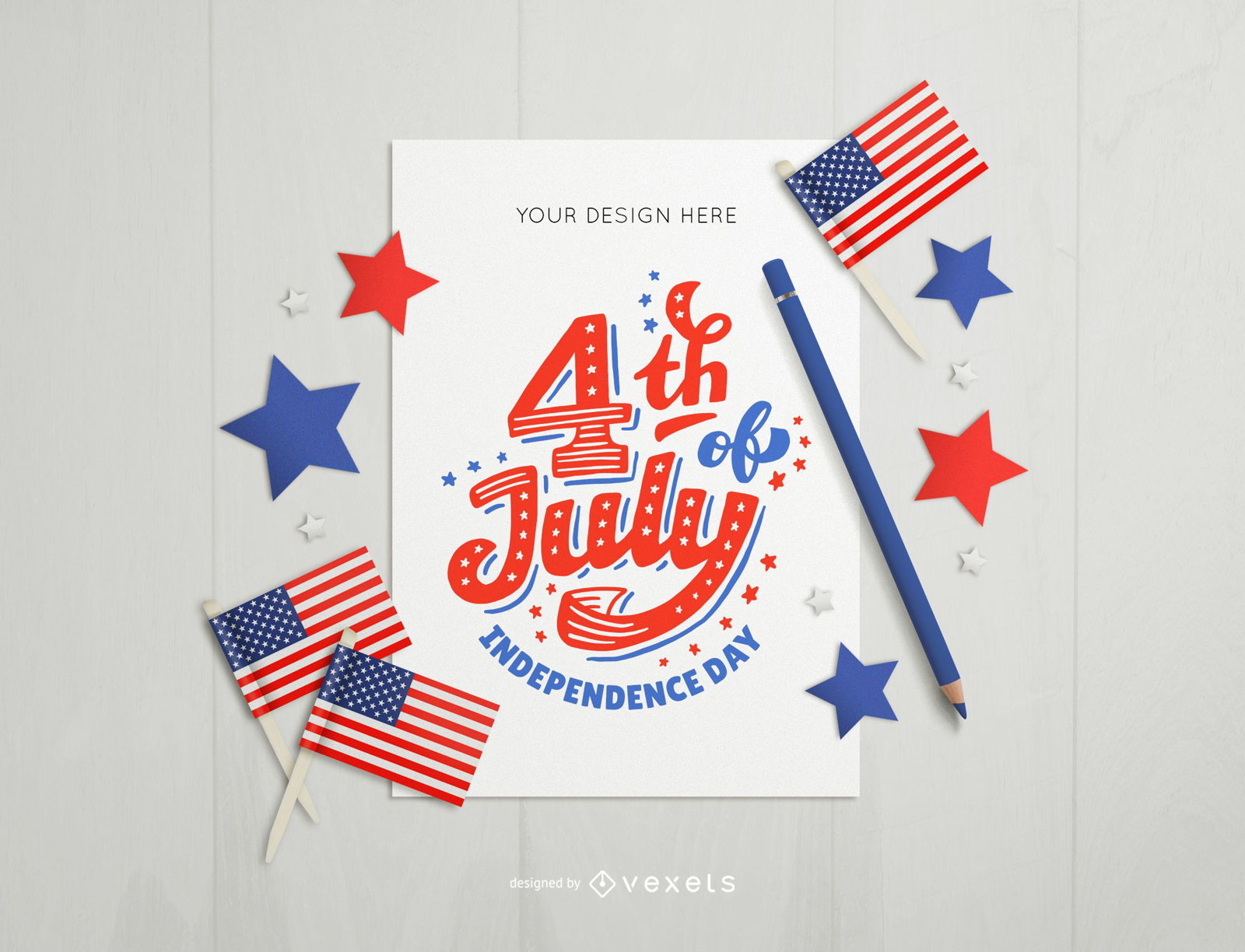
4th of july card mockup composition
Choose a folder
All favorites
Create new
Save
4th of july card mockup composition
Independence day coloured badge design PNG Design
Choose a folder
All favorites
Create new
Save
Independence day coloured badge design PNG Design
Money bag flat icon PNG Design
Choose a folder
All favorites
Create new
Save
Money bag flat icon PNG Design
Soft drink cup flat icon PNG Design
Choose a folder
All favorites
Create new
Save
Soft drink cup flat icon PNG Design
Patriotic american hat hand drawn PNG Design
Choose a folder
All favorites
Create new
Save
Patriotic american hat hand drawn PNG Design
Red pennant PNG Design
Choose a folder
All favorites
Create new
Save
Red pennant PNG Design
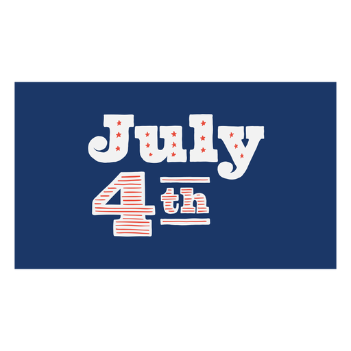
July 4th lettering PNG Design
Choose a folder
All favorites
Create new
Save
July 4th lettering PNG Design
Premium
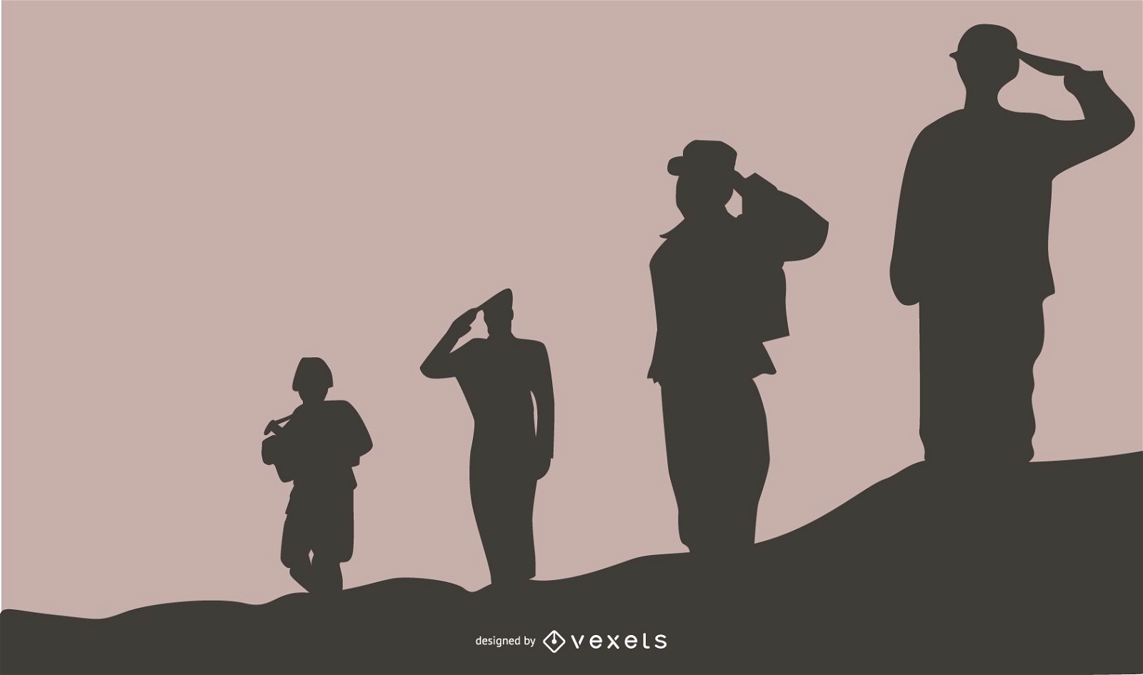
Military People Silhouette Background
Choose a folder
All favorites
Create new
Save
Military People Silhouette Background
Editable text
Premium
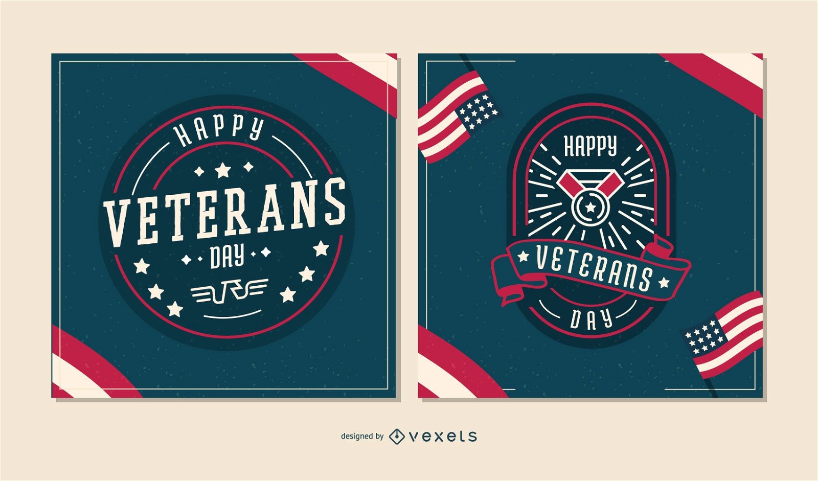
Happy veterans editable slider design
Choose a folder
All favorites
Create new
Save
Happy veterans editable slider design
Editable text
Premium
Veterans day editable banner set
Choose a folder
All favorites
Create new
Save
Veterans day editable banner set
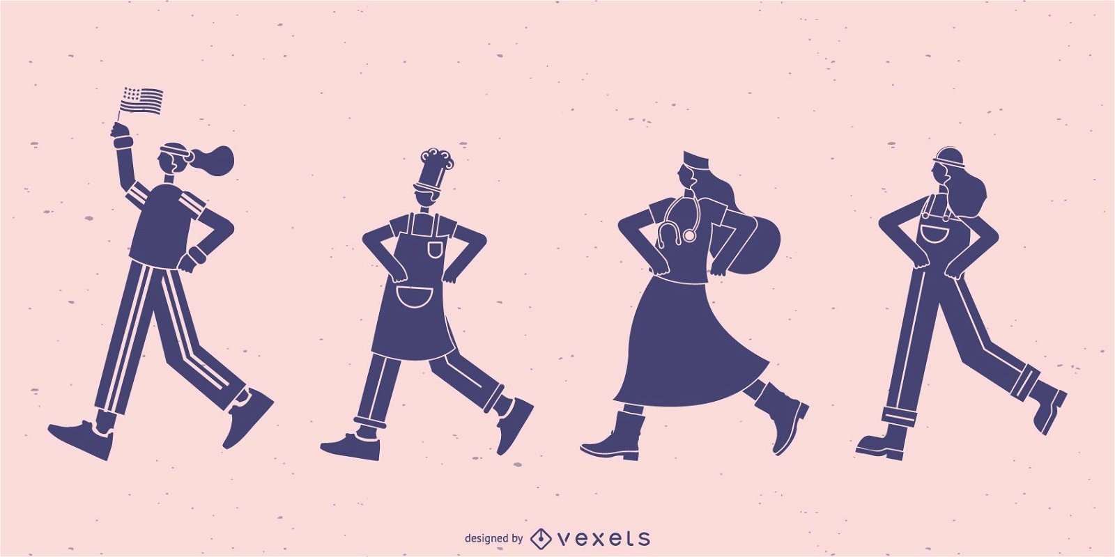
Workers walking silhouette set
Choose a folder
All favorites
Create new
Save
Workers walking silhouette set
Premium
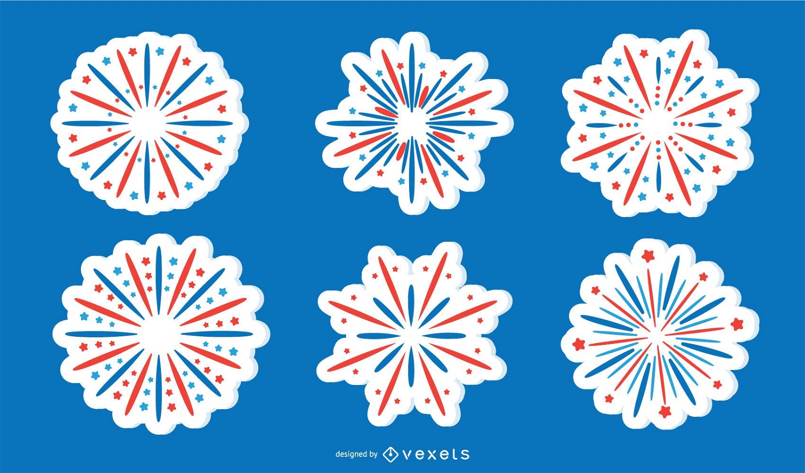
Patriotic Firework Sticker Collection
Choose a folder
All favorites
Create new
Save
Patriotic Firework Sticker Collection
Premium
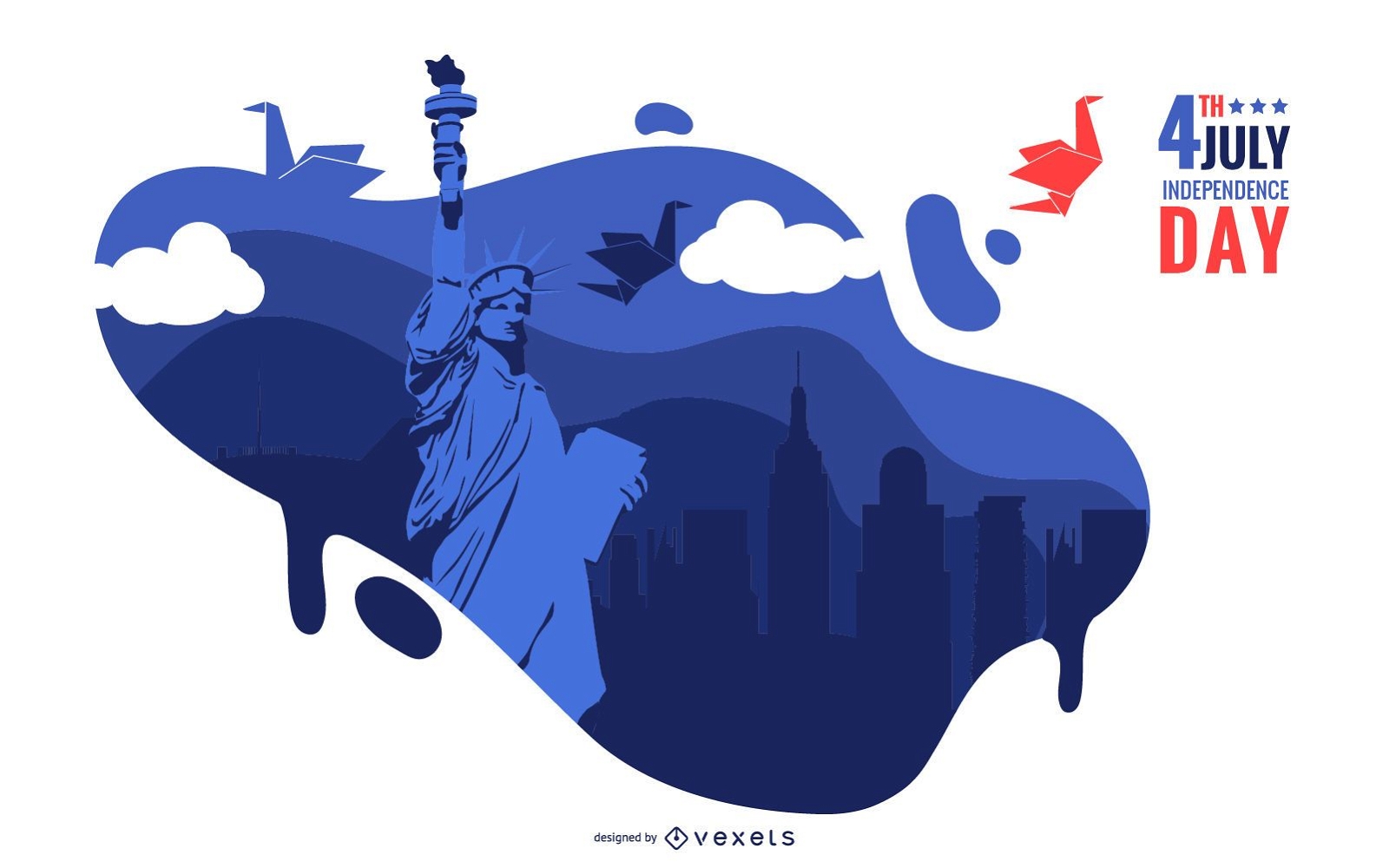
4th Of July Illustration
Choose a folder
All favorites
Create new
Save
4th Of July Illustration
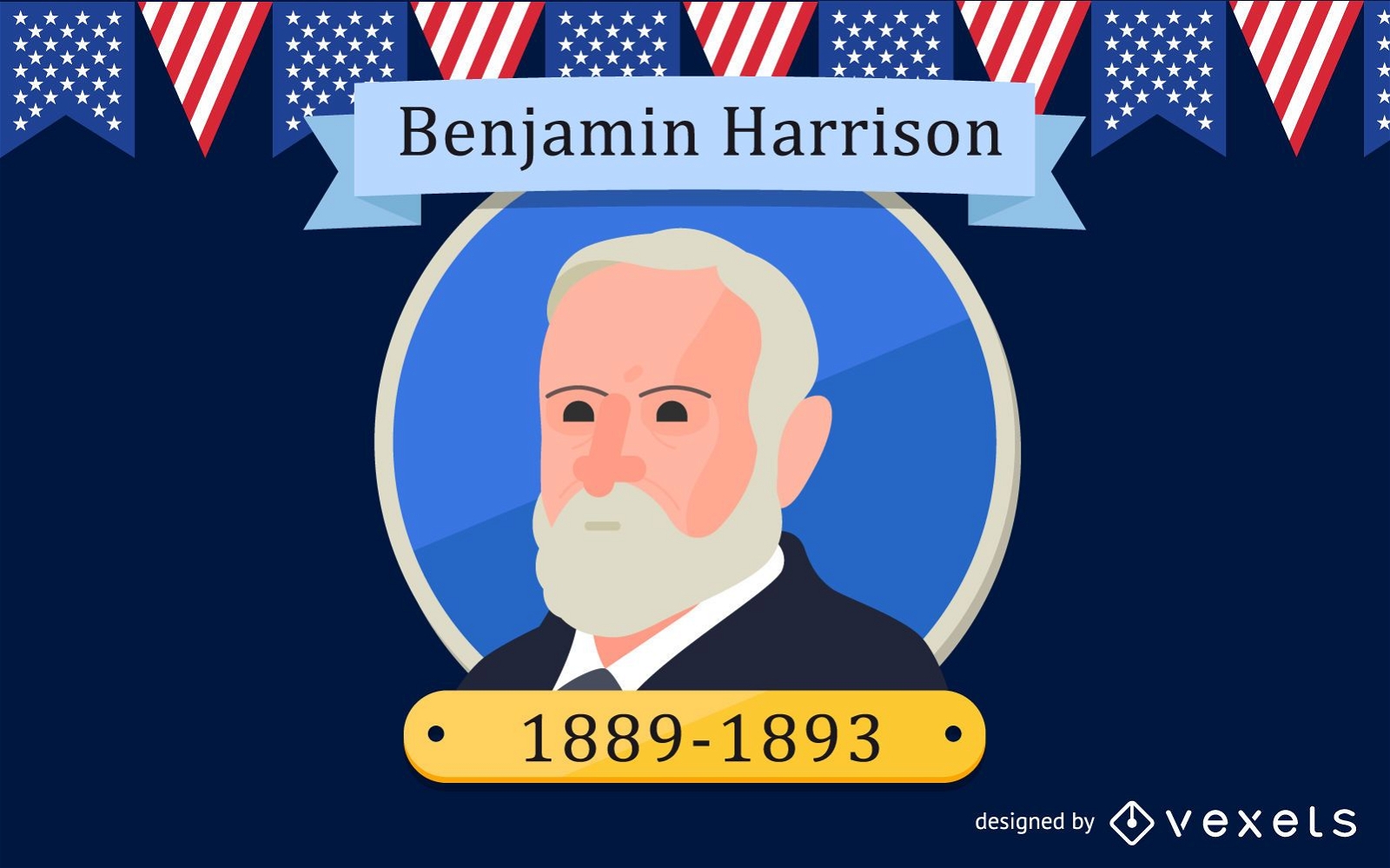
President Benjamin Harrison Design
Choose a folder
All favorites
Create new
Save
President Benjamin Harrison Design
Premium
Stroke cup drink PNG Design
Choose a folder
All favorites
Create new
Save
Stroke cup drink PNG Design
Premium
Native hat round icon PNG Design
Choose a folder
All favorites
Create new
Save
Native hat round icon PNG Design
American flag star label PNG Design
Choose a folder
All favorites
Create new
Save
American flag star label PNG Design
Red blue pumpkin PNG Design
Choose a folder
All favorites
Create new
Save
Red blue pumpkin PNG Design
AI generated, curated by our designers
for Merch
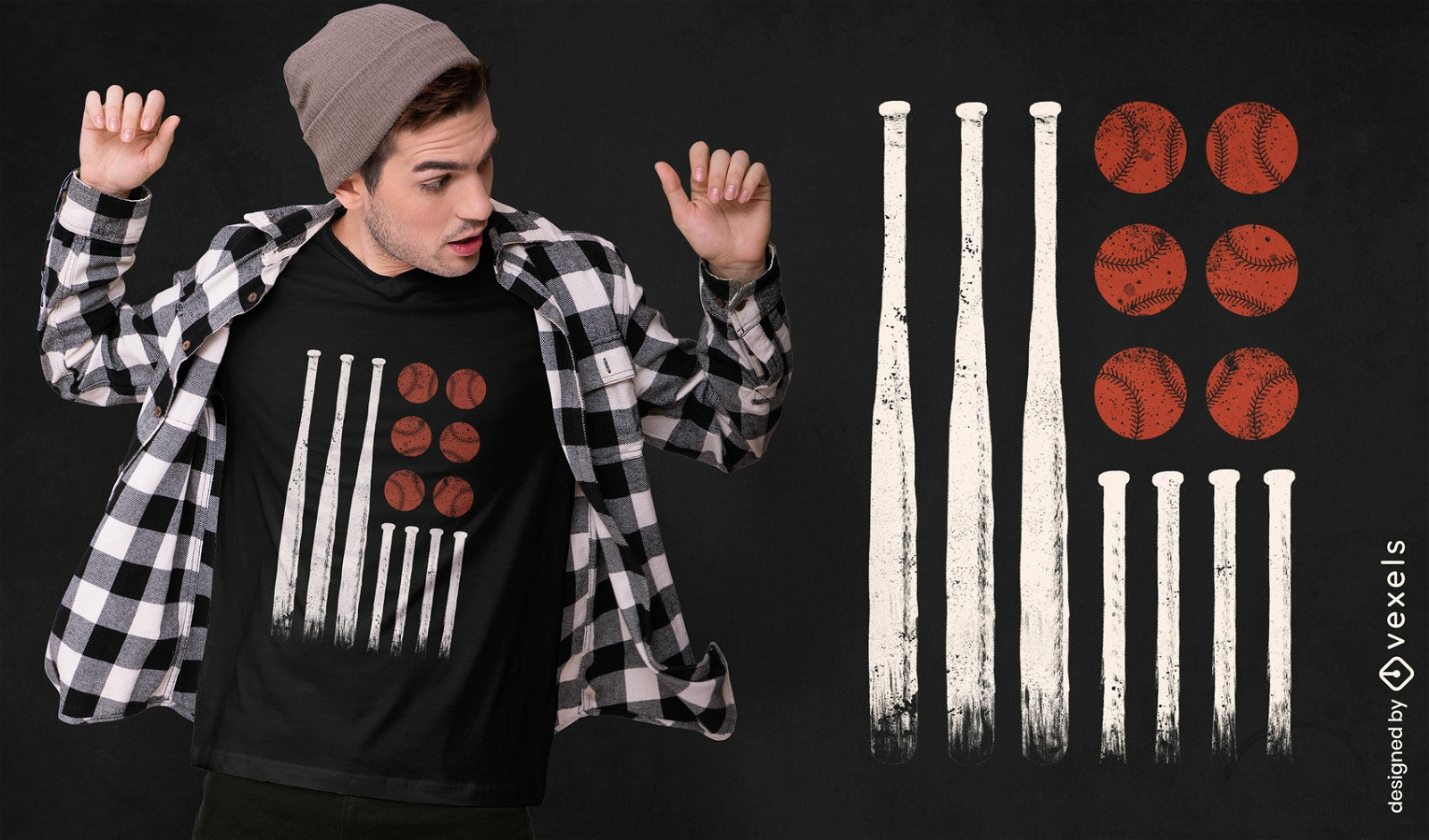
Baseball flag t-shirt design
Choose a folder
All favorites
Create new
Save
Baseball flag t-shirt design
Premium
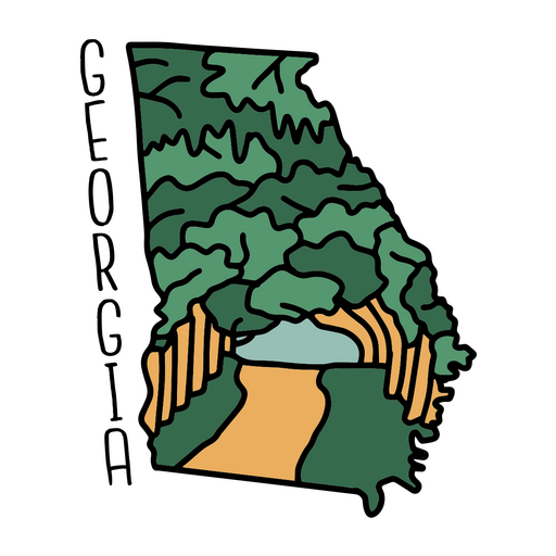
The state of georgia is shown on a sticker PNG Design
Choose a folder
All favorites
Create new
Save
The state of georgia is shown on a sticker PNG Design
Editable text
Print ready
for Merch
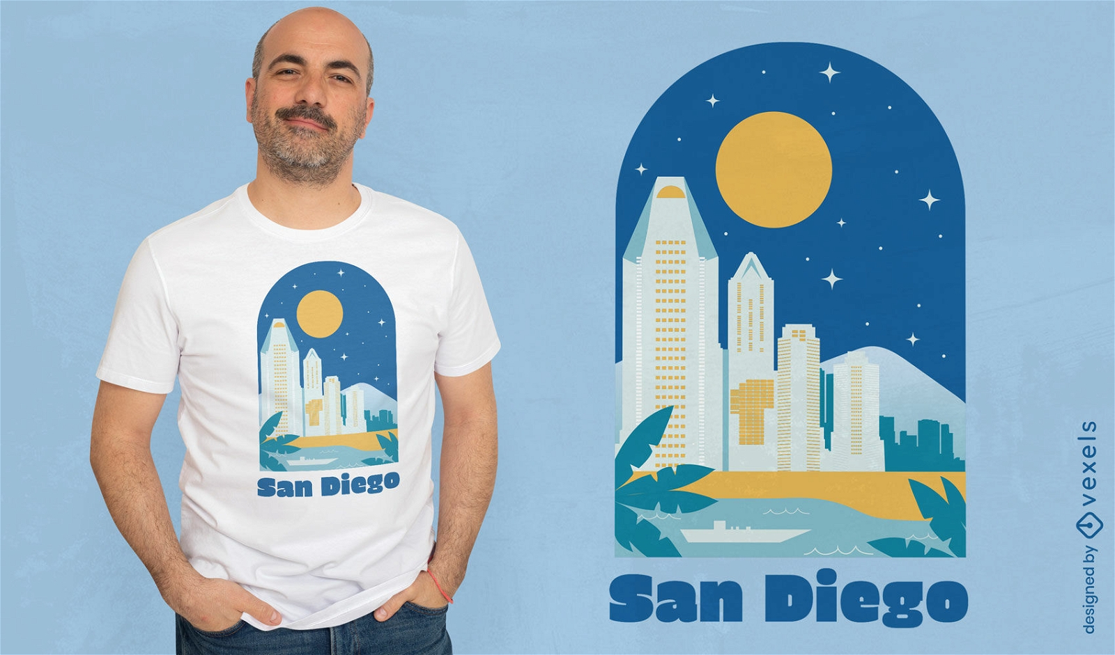
San Diego city t-shirt design
Choose a folder
All favorites
Create new
Save
San Diego city t-shirt design
Premium
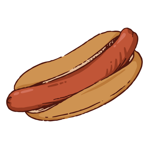
Meat hot dog fast food PNG Design
Choose a folder
All favorites
Create new
Save
Meat hot dog fast food PNG Design
Michigan map filled stroke PNG Design
Choose a folder
All favorites
Create new
Save
Michigan map filled stroke PNG Design
PSD Mockup
Premium
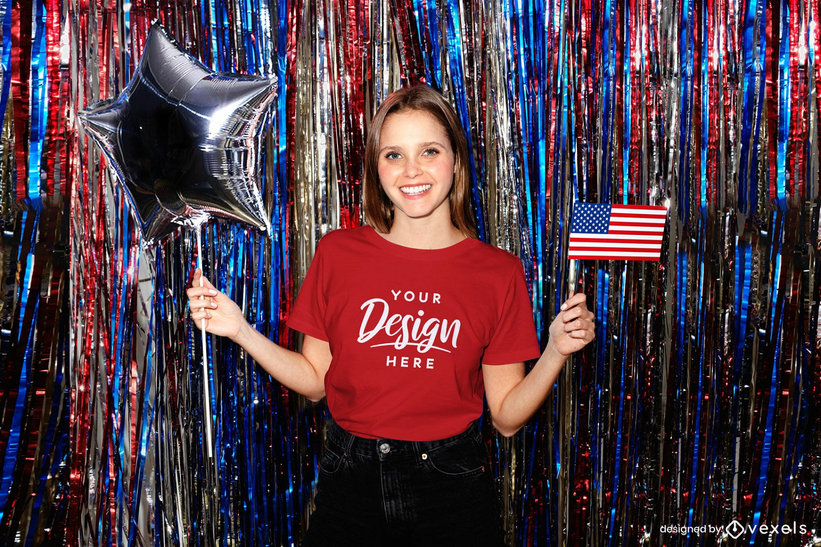
Red t-shirt girl mockup with american flag party
Choose a folder
All favorites
Create new
Save
Red t-shirt girl mockup with american flag party
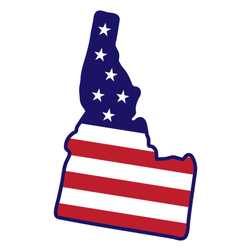
Idaho map color stroke PNG Design
Choose a folder
All favorites
Create new
Save
Idaho map color stroke PNG Design
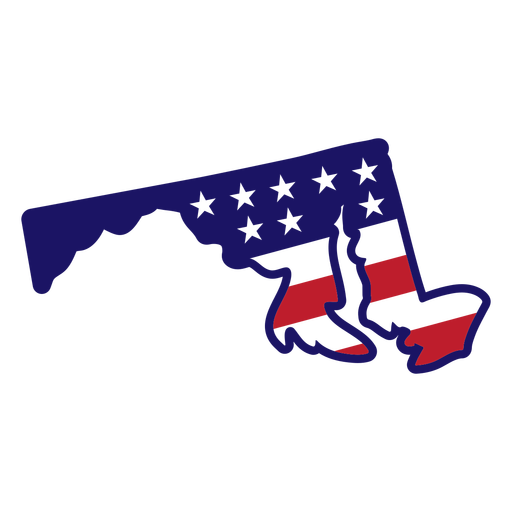
Maryland Stars & Stripes Map PNG Design
Choose a folder
All favorites
Create new
Save
Maryland Stars & Stripes Map PNG Design
Freedom usa map cut out PNG Design
Choose a folder
All favorites
Create new
Save
Freedom usa map cut out PNG Design
Liberty quote fourth of july PNG Design
Choose a folder
All favorites
Create new
Save
Liberty quote fourth of july PNG Design
Uncle sam color cut out hat PNG Design
Choose a folder
All favorites
Create new
Save
Uncle sam color cut out hat PNG Design
American eage head badge cut out PNG Design
Choose a folder
All favorites
Create new
Save
American eage head badge cut out PNG Design
American liberty bell badge cut out PNG Design
Choose a folder
All favorites
Create new
Save
American liberty bell badge cut out PNG Design
Premium
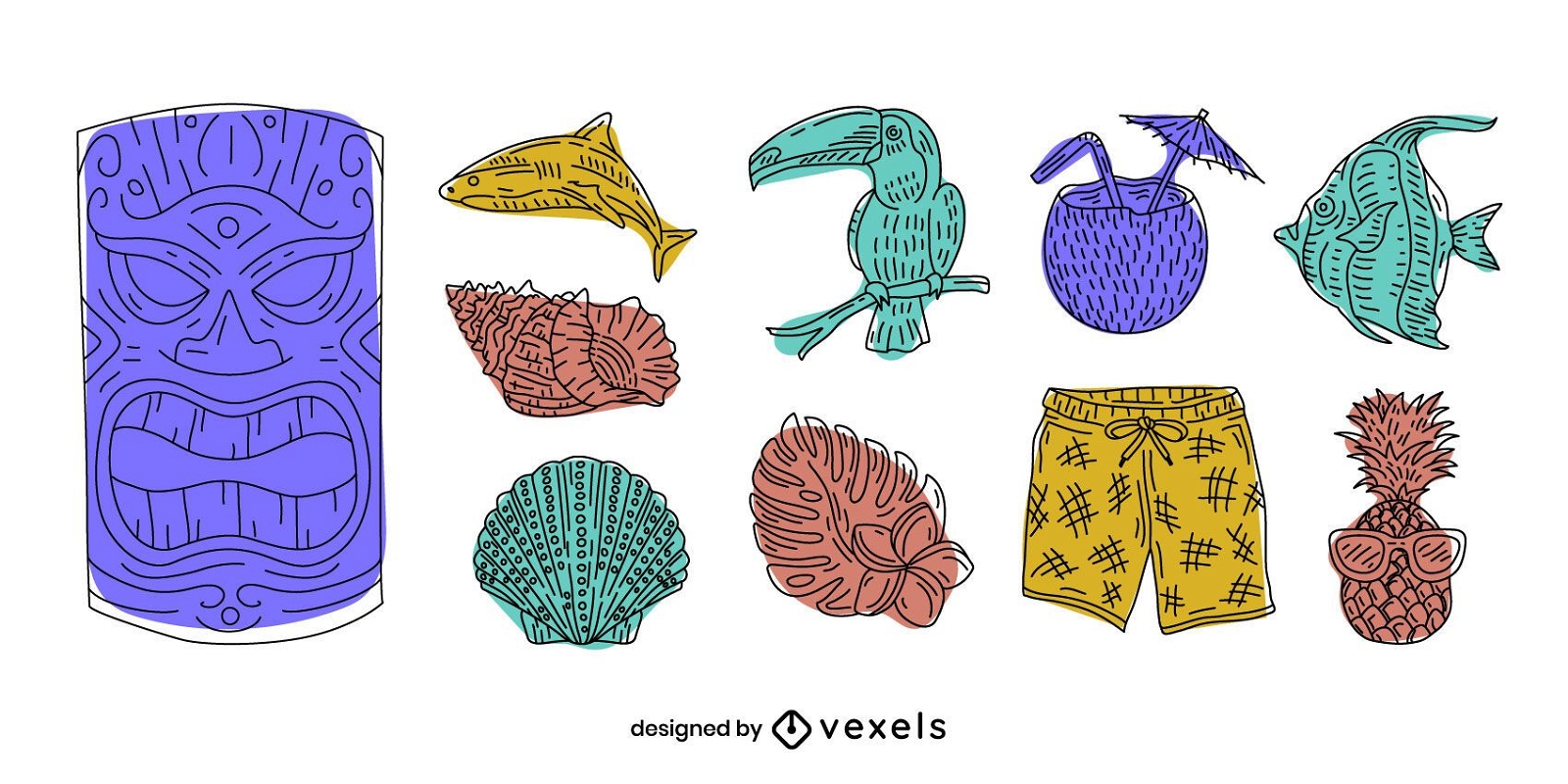
Hawaii elements doodle set
Choose a folder
All favorites
Create new
Save
Hawaii elements doodle set
Premium
Chicago City Badge Pack
Choose a folder
All favorites
Create new
Save
Chicago City Badge Pack
America flag bearer silhouette PNG Design
Choose a folder
All favorites
Create new
Save
America flag bearer silhouette PNG Design
Premium
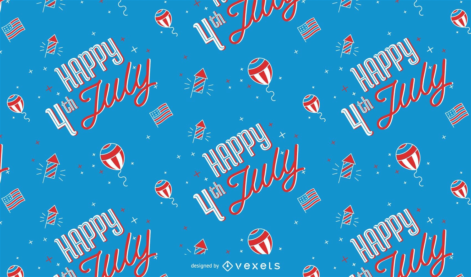
Happy 4th of july pattern design
Choose a folder
All favorites
Create new
Save
Happy 4th of july pattern design
American football ball flat icon PNG Design
Choose a folder
All favorites
Create new
Save
American football ball flat icon PNG Design
3 stars firework rocket element PNG Design
Choose a folder
All favorites
Create new
Save
3 stars firework rocket element PNG Design
Patriotic firework explosion element PNG Design
Choose a folder
All favorites
Create new
Save
Patriotic firework explosion element PNG Design
Premium
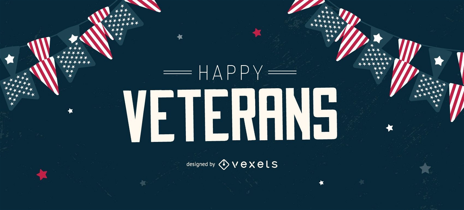
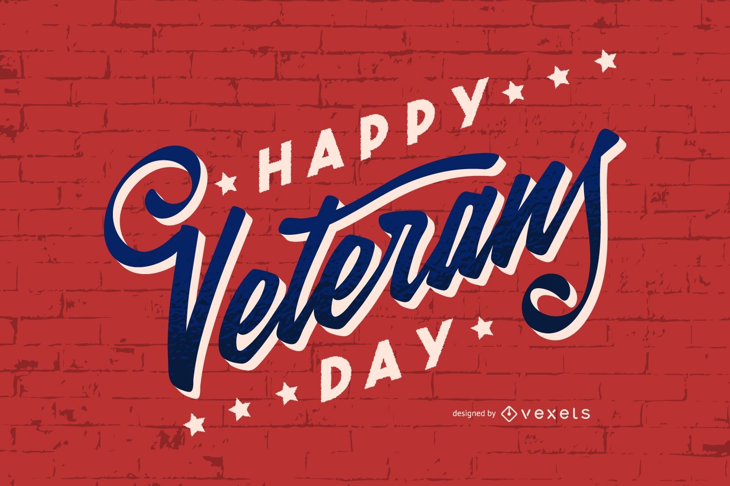
Veterans day lettering design
Choose a folder
All favorites
Create new
Save
Veterans day lettering design
Editable text
Premium
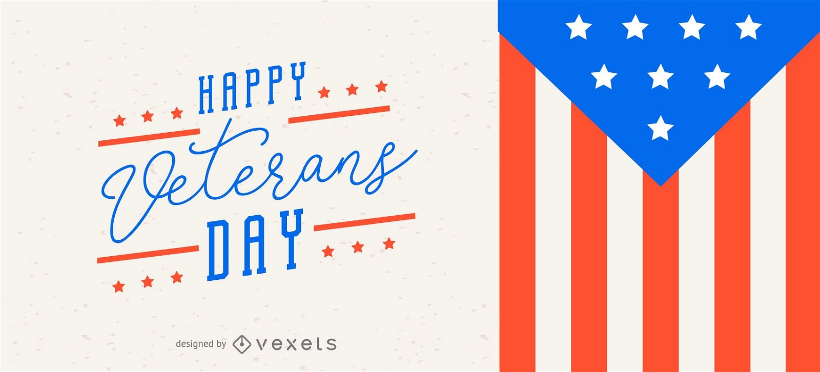
Veterans day slider design
Choose a folder
All favorites
Create new
Save
Veterans day slider design
Premium
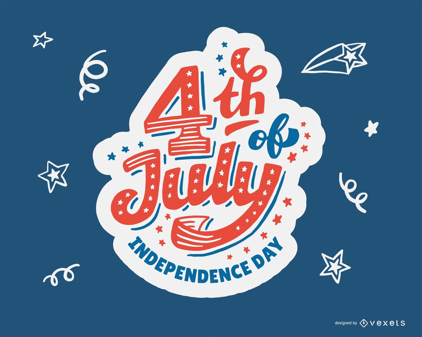
4th Of July Independence Day Design
Choose a folder
All favorites
Create new
Save
4th Of July Independence Day Design
Premium
Gun round icon PNG Design
Choose a folder
All favorites
Create new
Save
Gun round icon PNG Design
Premium
Feather scroll round icon PNG Design
Choose a folder
All favorites
Create new
Save
Feather scroll round icon PNG Design
Boost Your Business
With The Leading Graphic Platform For Merch.
SEE PLANS
Next
of 69
prev page
next page