Design Library
New Merch Designs
T-Shirts
Vectors
Trending Merch Designs
PNGs & SVGs
Mockups
T-Shirt PSD Templates
Explore Designs
KDP Designs
Posters
Mugs
Phone Cases
Tote Bags
Pillows
Design Tools
Merch Designer
New!
Mockup Generator
AI Design Generator
Image Vectorizer
Quote Generator
T-Shirt Maker (Old)
Resources
Merch Digest
Blog
Help Center
Learn About Merch
Feedback
Corporate Solutions
Enterprise
API Access
Design Studio
Bulk Design Production
Pricing
Loading...
Sign Up
Login
All
estados
Design Library
New Merch Designs
T-Shirts
Vectors
Trending Merch Designs
PNGs & SVGs
Mockups
T-Shirt PSD Templates
Explore Designs
KDP Designs
Posters
Mugs
Phone Cases
Tote Bags
Pillows
Design Tools
Merch Designer
New!
Mockup Generator
AI Design Generator
Image Vectorizer
Quote Generator
T-Shirt Maker (Old)
Resources
Merch Digest
Blog
Help Center
Learn About Merch
Feedback
Corporate Solutions
Enterprise
API Access
Design Studio
Bulk Design Production
PLANS
All
estados
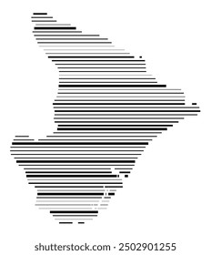
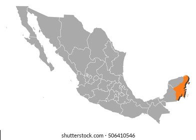
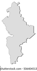
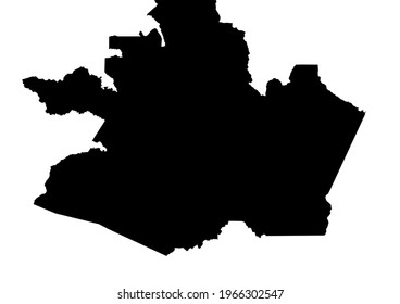
3409 estados designs graphics for t-shirt and print on demand merch
Download estados t-shirt designs and other merch graphics like book covers, phone cases, tote bags and more.
Sort by
Most relevant
Sponsored results by
Get 15% off with code: VEXELS15
Show more
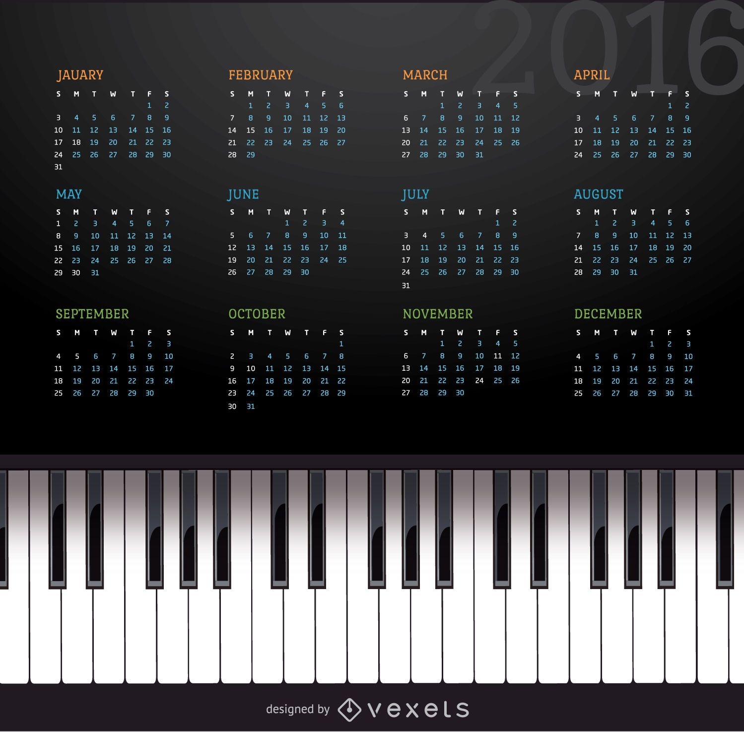
2016 music piano calendar
Choose a folder
All favorites
Create new
Save
2016 music piano calendar
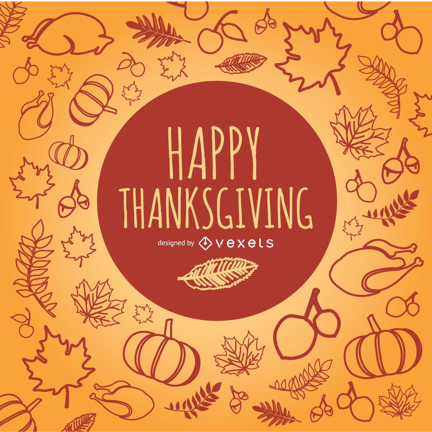
Happy Thanksgiving doodles
Choose a folder
All favorites
Create new
Save
Happy Thanksgiving doodles
Premium
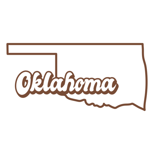
The state of oklahoma is shown PNG Design
Choose a folder
All favorites
Create new
Save
The state of oklahoma is shown PNG Design
Premium
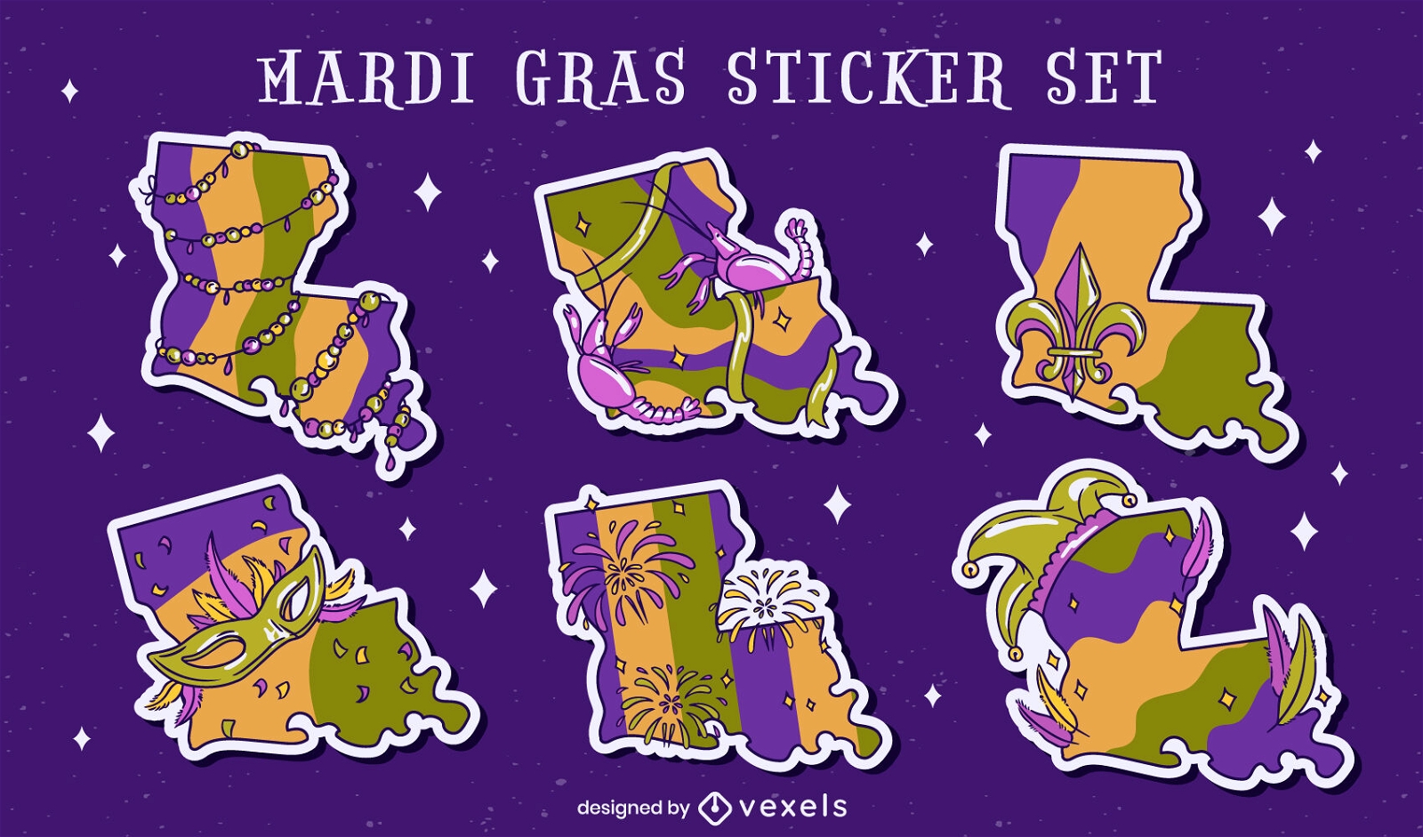
Louisiana state Mardi Gras set
Choose a folder
All favorites
Create new
Save
Louisiana state Mardi Gras set
Premium
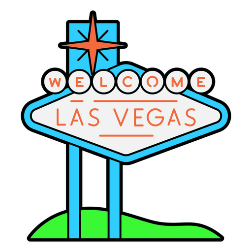
Welcome sign to las Vegas PNG Design
Choose a folder
All favorites
Create new
Save
Welcome sign to las Vegas PNG Design
Premium
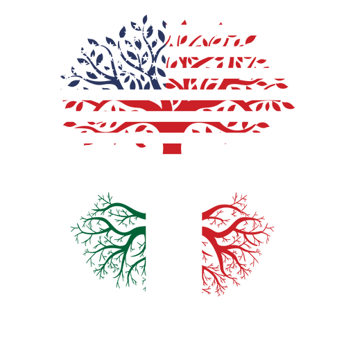
American-italian roots PNG Design
Choose a folder
All favorites
Create new
Save
American-italian roots PNG Design
Editable text
Print ready
for Merch
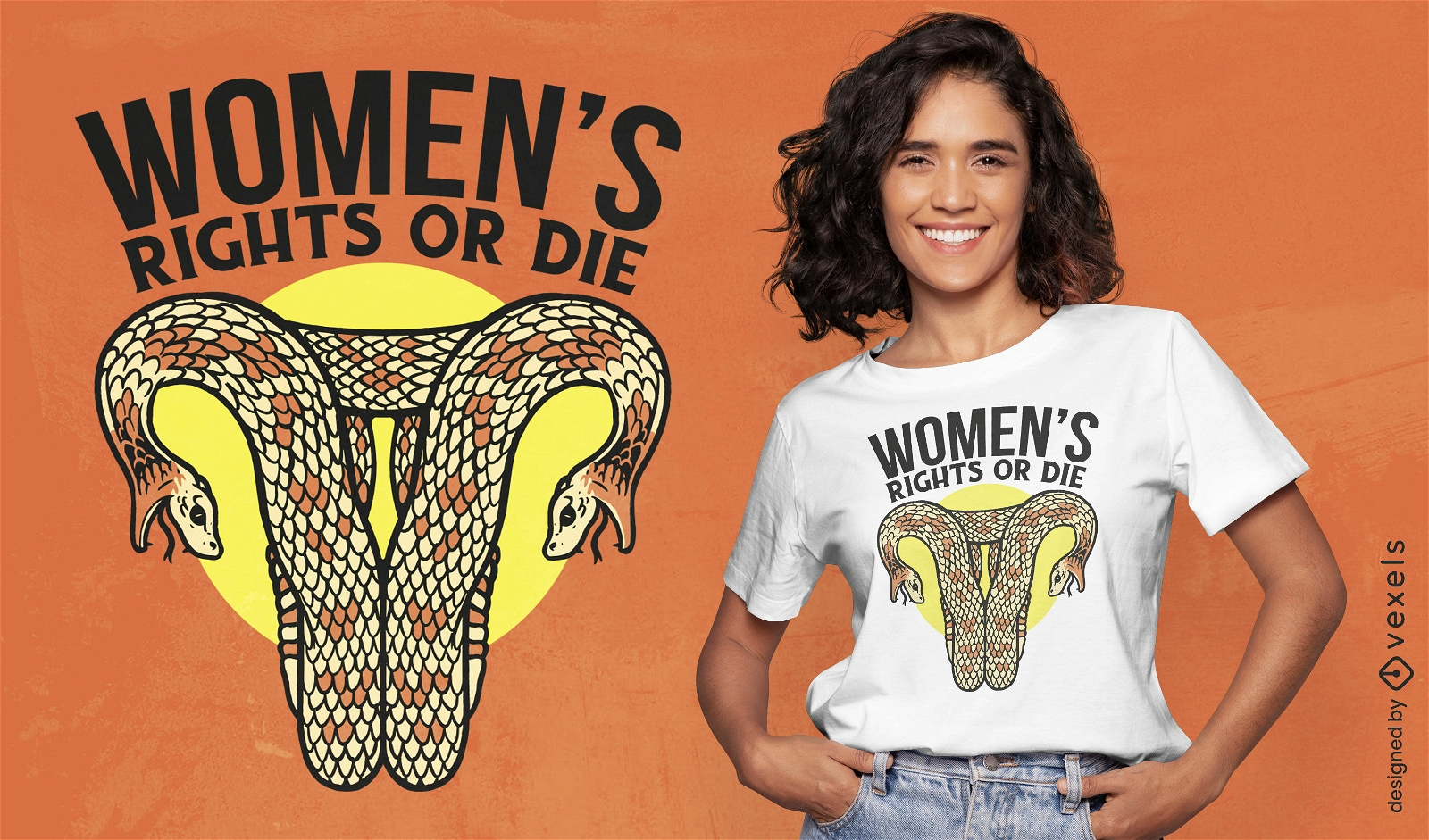
Snake shaped uterus female rights t-shirt design
Choose a folder
All favorites
Create new
Save
Snake shaped uterus female rights t-shirt design
Editable text
Print ready
for Merch
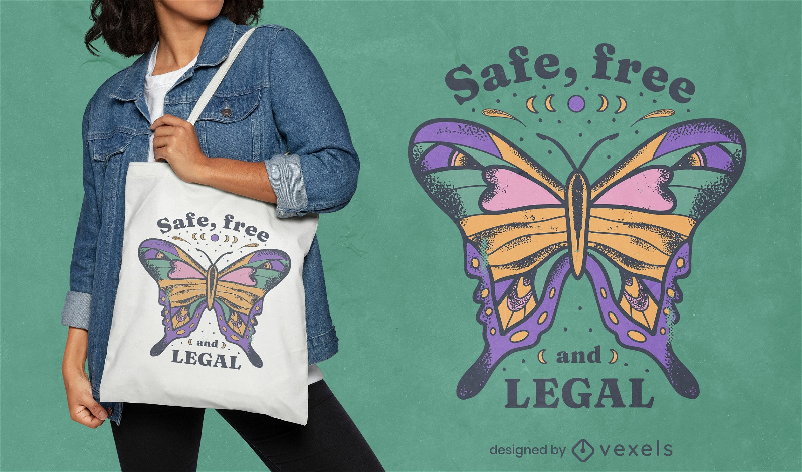
Safe free and legal abortion tote bag design
Choose a folder
All favorites
Create new
Save
Safe free and legal abortion tote bag design
Lollipop retro food treats PNG Design
Choose a folder
All favorites
Create new
Save
Lollipop retro food treats PNG Design
Soldier salute veterans day element PNG Design
Choose a folder
All favorites
Create new
Save
Soldier salute veterans day element PNG Design
Veteran's day freedom eagle badge PNG Design
Choose a folder
All favorites
Create new
Save
Veteran's day freedom eagle badge PNG Design
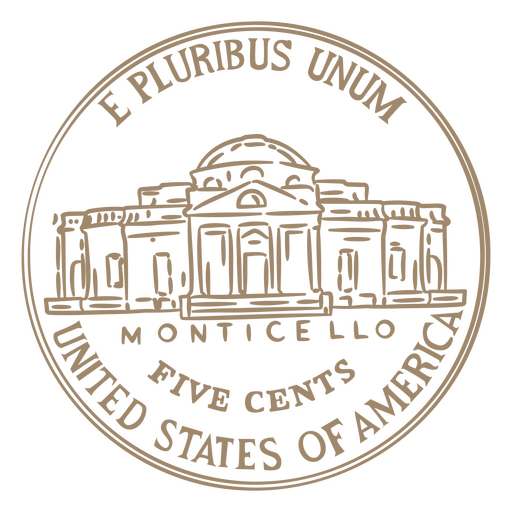
Coin stroke nickel tail usa PNG Design
Choose a folder
All favorites
Create new
Save
Coin stroke nickel tail usa PNG Design
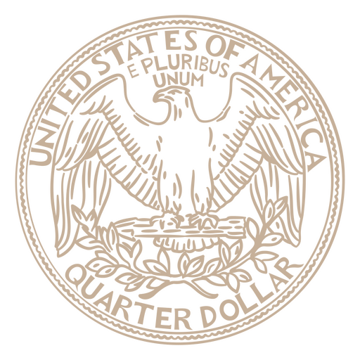
Quarter stroke coin tail PNG Design
Choose a folder
All favorites
Create new
Save
Quarter stroke coin tail PNG Design
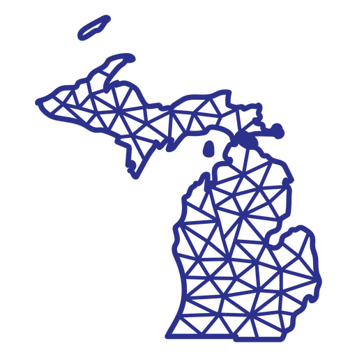
Michigan map polygonal PNG Design
Choose a folder
All favorites
Create new
Save
Michigan map polygonal PNG Design
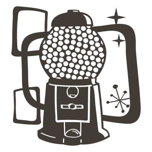
Gumball machine filled stroke food treats PNG Design
Choose a folder
All favorites
Create new
Save
Gumball machine filled stroke food treats PNG Design
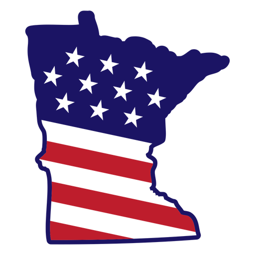
Minesota map color stroke PNG Design
Choose a folder
All favorites
Create new
Save
Minesota map color stroke PNG Design
America USA lettering cut out badge PNG Design
Choose a folder
All favorites
Create new
Save
America USA lettering cut out badge PNG Design
American flag lips badge cut out PNG Design
Choose a folder
All favorites
Create new
Save
American flag lips badge cut out PNG Design
Cute spilling glass PNG Design
Choose a folder
All favorites
Create new
Save
Cute spilling glass PNG Design
Premium
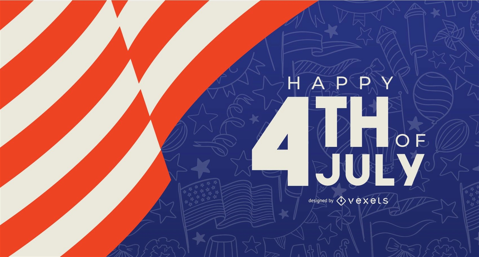
Happy 4th of July banner template
Choose a folder
All favorites
Create new
Save
Happy 4th of July banner template
French fries flat icon PNG Design
Choose a folder
All favorites
Create new
Save
French fries flat icon PNG Design
Editable text
Premium
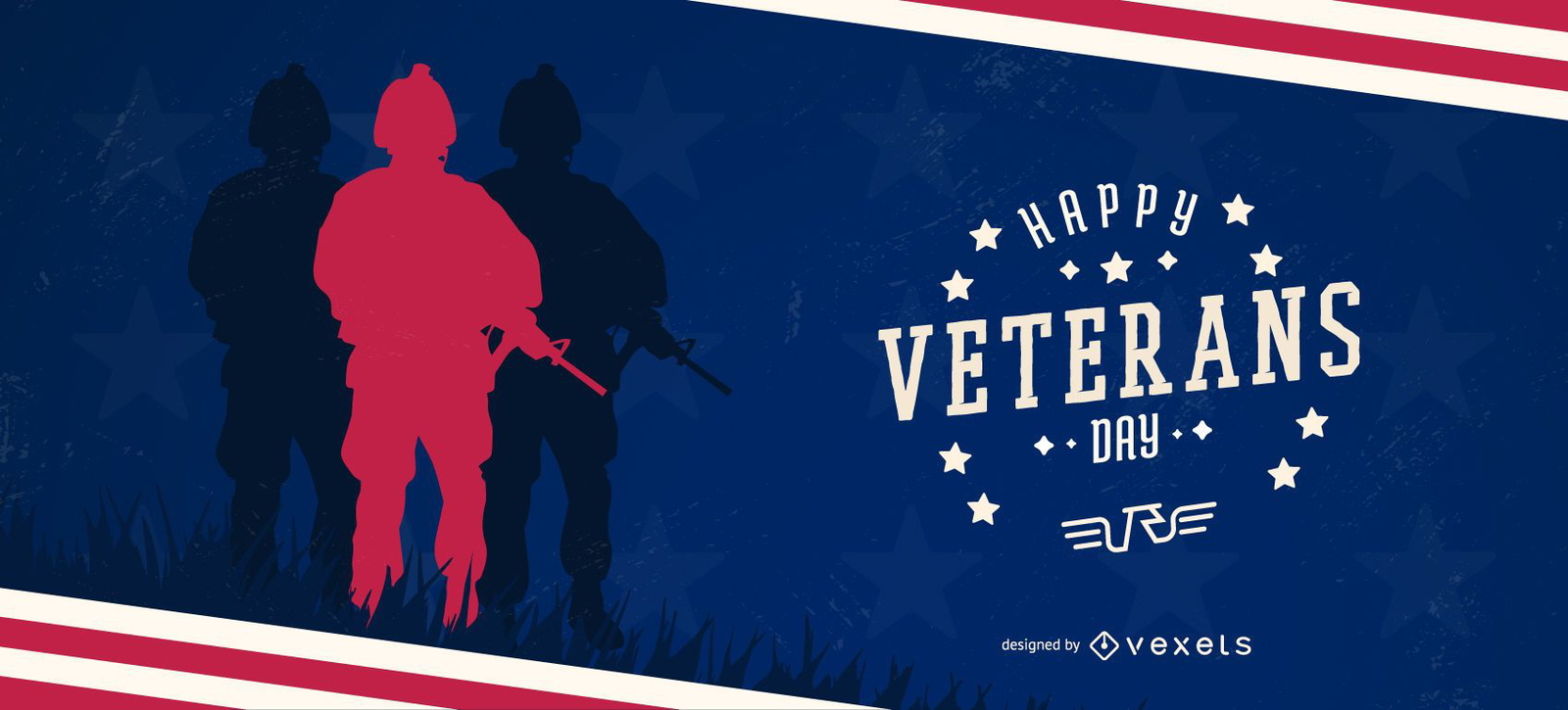
Happy veterans day slider template
Choose a folder
All favorites
Create new
Save
Happy veterans day slider template
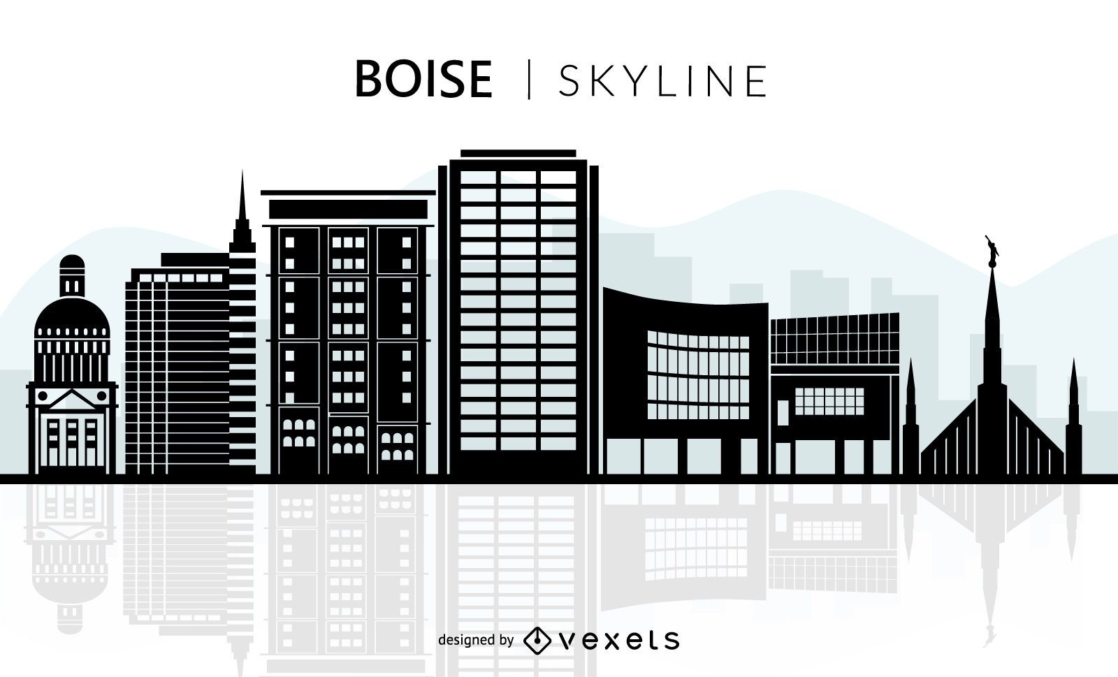
Boise skyline silhouette
Choose a folder
All favorites
Create new
Save
Boise skyline silhouette
Premium
Dollar currency symbol stroke doodle PNG Design
Choose a folder
All favorites
Create new
Save
Dollar currency symbol stroke doodle PNG Design
Print ready
for Merch
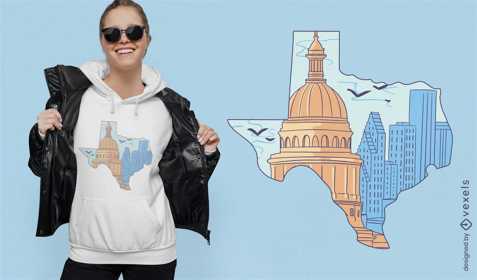
Texas silhouette with buildings t-shirt design
Choose a folder
All favorites
Create new
Save
Texas silhouette with buildings t-shirt design
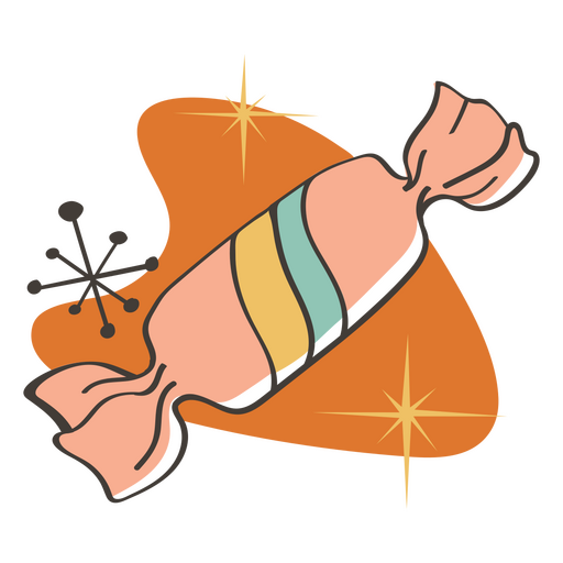
Sugar candy retro food treats PNG Design
Choose a folder
All favorites
Create new
Save
Sugar candy retro food treats PNG Design
Ice cream retro food treats PNG Design
Choose a folder
All favorites
Create new
Save
Ice cream retro food treats PNG Design
American flag freedom hand drawn badge PNG Design
Choose a folder
All favorites
Create new
Save
American flag freedom hand drawn badge PNG Design
Premium
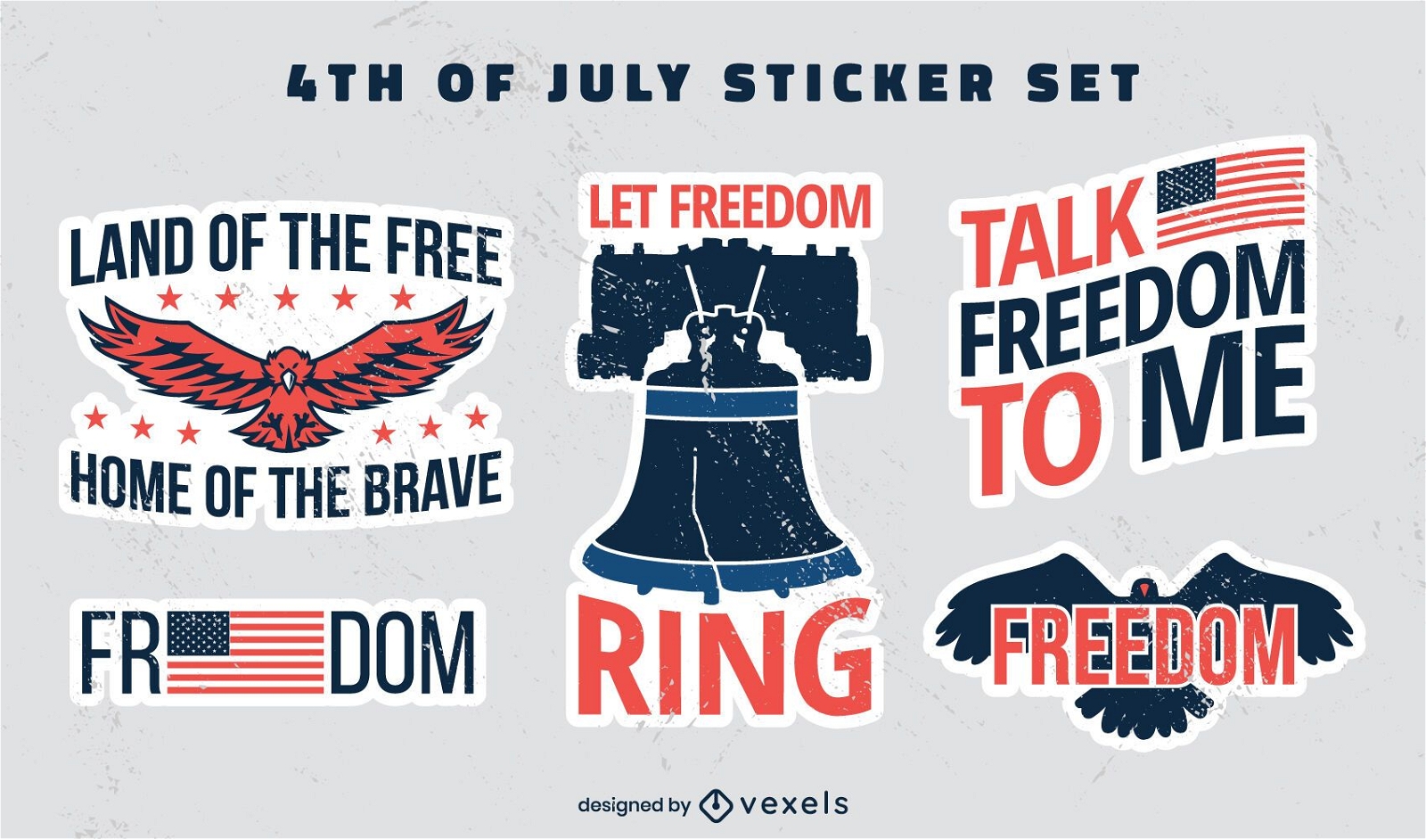
Fourth of july flat freedom badges stickers
Choose a folder
All favorites
Create new
Save
Fourth of july flat freedom badges stickers
Premium
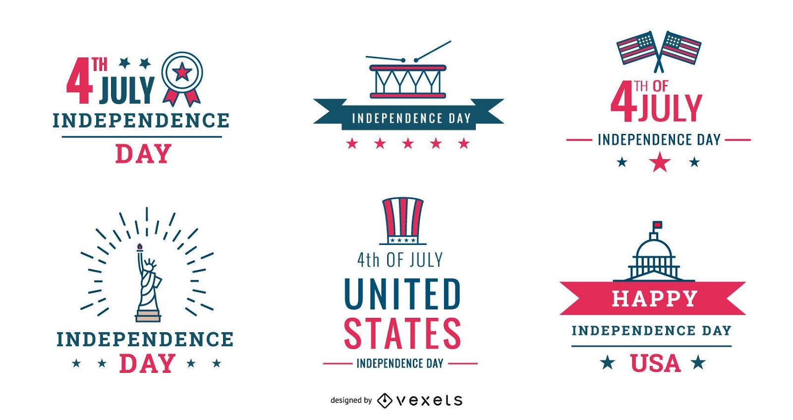
4th of july badges pack
Choose a folder
All favorites
Create new
Save
4th of july badges pack
Premium
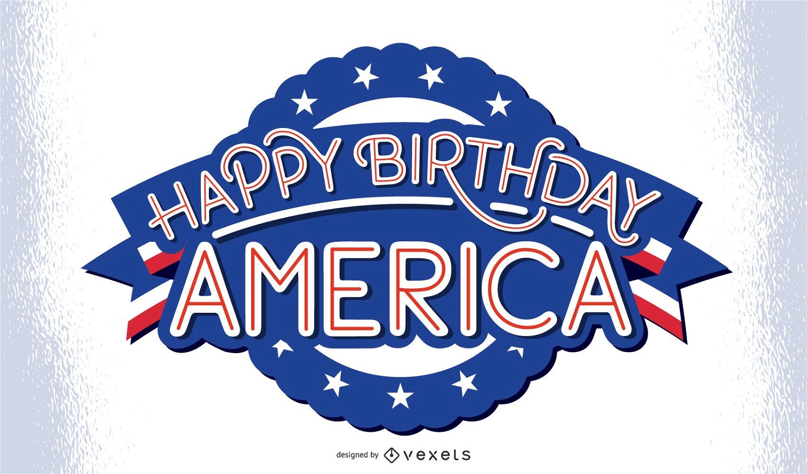
Happy birthday america lettering
Choose a folder
All favorites
Create new
Save
Happy birthday america lettering
Premium
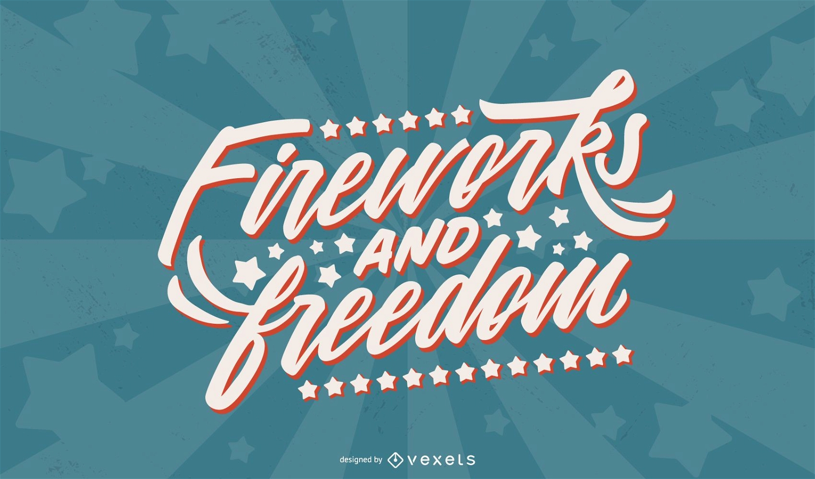
Fireworks and freedom lettering
Choose a folder
All favorites
Create new
Save
Fireworks and freedom lettering
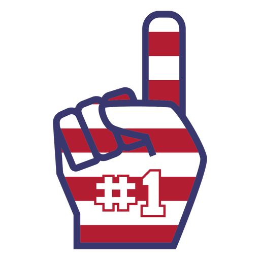
America number one foam finger flat PNG Design
Choose a folder
All favorites
Create new
Save
America number one foam finger flat PNG Design
Print ready
for Merch
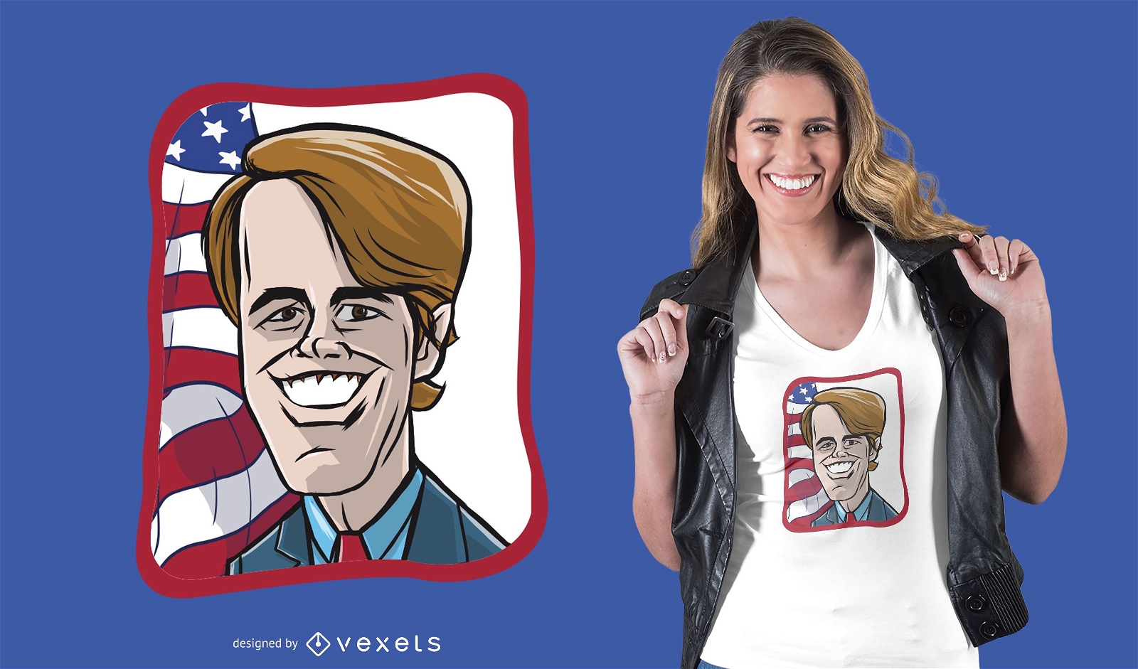
Beto O Rourke Cartoon T-shirt Design
Choose a folder
All favorites
Create new
Save
Beto O Rourke Cartoon T-shirt Design
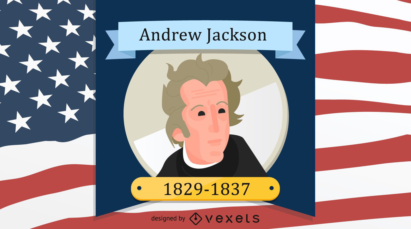
President Andrew Jackson Design
Choose a folder
All favorites
Create new
Save
President Andrew Jackson Design
Premium
Democrats donkey PNG Design
Choose a folder
All favorites
Create new
Save
Democrats donkey PNG Design
Premium
Sport helmet PNG Design
Choose a folder
All favorites
Create new
Save
Sport helmet PNG Design
Premium
Rocket round icon PNG Design
Choose a folder
All favorites
Create new
Save
Rocket round icon PNG Design
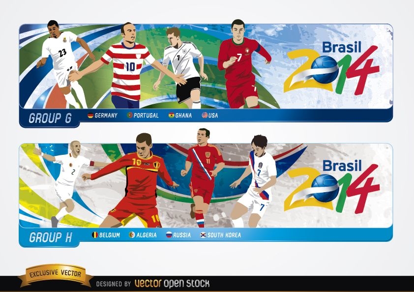
Headers with groups G H Brazil 2014
Choose a folder
All favorites
Create new
Save
Headers with groups G H Brazil 2014
Facebook Change
Choose a folder
All favorites
Create new
Save
Facebook Change
Print ready
for Merch
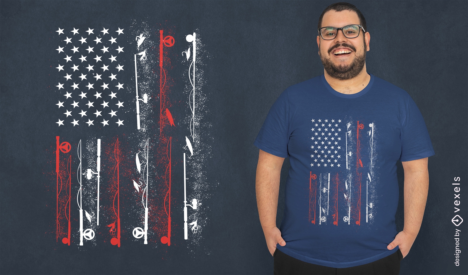
American flag fish t-shirt design
Choose a folder
All favorites
Create new
Save
American flag fish t-shirt design
Print ready
for Merch
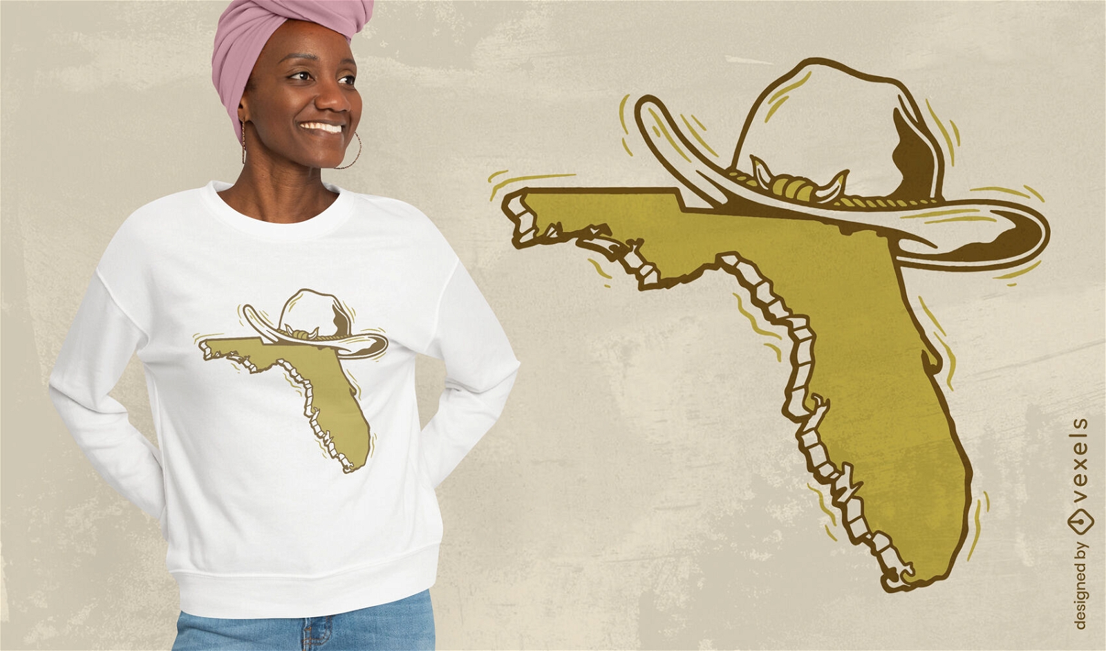
Florida map with hat t-shirt design
Choose a folder
All favorites
Create new
Save
Florida map with hat t-shirt design
Premium
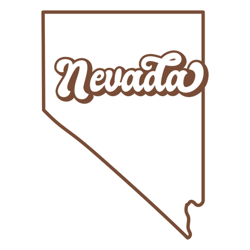
The state of nevada is shown PNG Design
Choose a folder
All favorites
Create new
Save
The state of nevada is shown PNG Design
Editable text
Print ready
for Merch
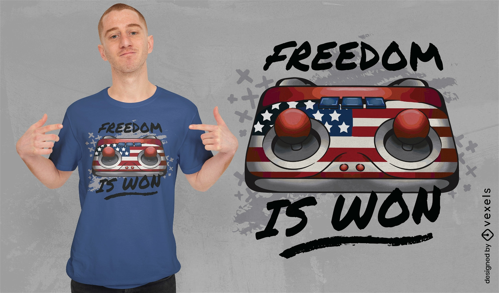
American gaming joystick t-shirt design
Choose a folder
All favorites
Create new
Save
American gaming joystick t-shirt design
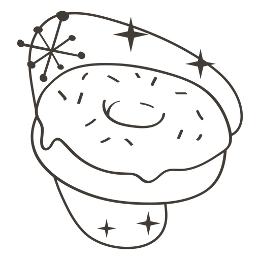
Donut stroke food treats PNG Design
Choose a folder
All favorites
Create new
Save
Donut stroke food treats PNG Design
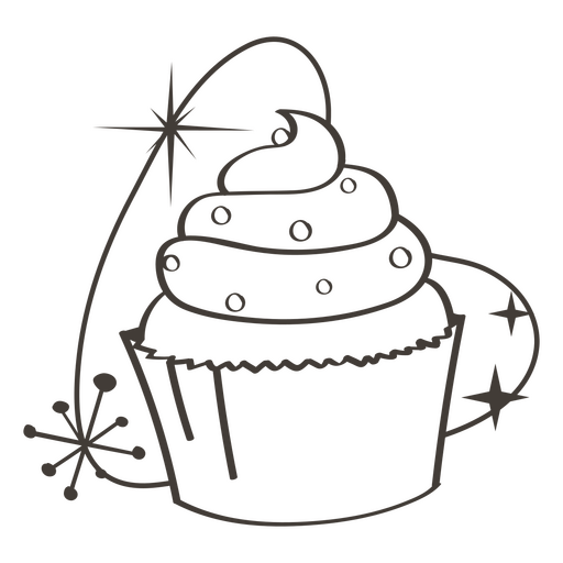
Cupcake stroke food treats PNG Design
Choose a folder
All favorites
Create new
Save
Cupcake stroke food treats PNG Design
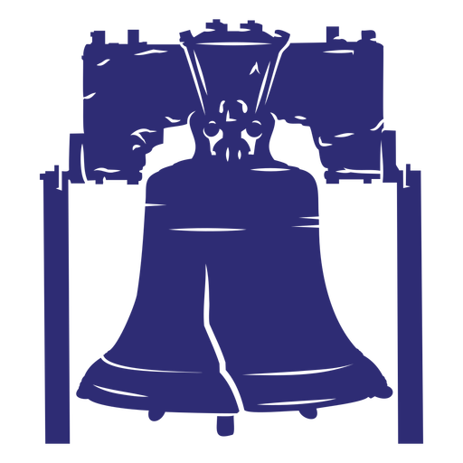
American liberty bell cut out PNG Design
Choose a folder
All favorites
Create new
Save
American liberty bell cut out PNG Design
Lincoln Memorial Building Icon PNG Design
Choose a folder
All favorites
Create new
Save
Lincoln Memorial Building Icon PNG Design
Patriot american color stroke badge PNG Design
Choose a folder
All favorites
Create new
Save
Patriot american color stroke badge PNG Design
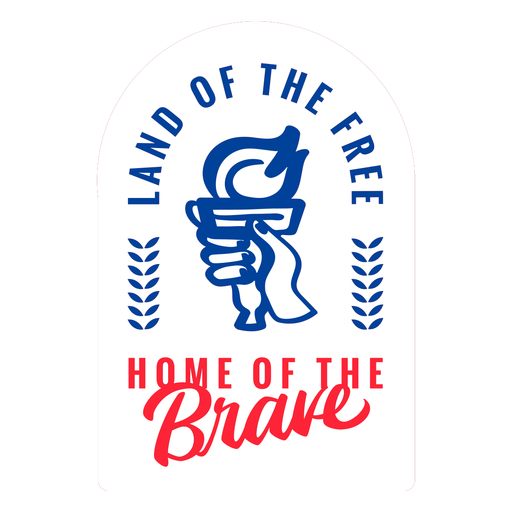
Land of the free sticker flat PNG Design
Choose a folder
All favorites
Create new
Save
Land of the free sticker flat PNG Design
Boost Your Business
With The Leading Graphic Platform For Merch.
SEE PLANS
Next
of 69
prev page
next page