Design Library
New Merch Designs
T-Shirts
Vectors
Trending Merch Designs
PNGs & SVGs
Mockups
T-Shirt PSD Templates
Explore Designs
KDP Designs
Posters
Mugs
Phone Cases
Tote Bags
Pillows
Design Tools
Merch Designer
New!
Mockup Generator
AI Design Generator
Image Vectorizer
Quote Generator
T-Shirt Maker (Old)
Resources
Merch Digest
Blog
Help Center
Learn About Merch
Feedback
Corporate Solutions
Enterprise
API Access
Design Studio
Bulk Design Production
Pricing
Loading...
Sign Up
Login
All
estados
Design Library
New Merch Designs
T-Shirts
Vectors
Trending Merch Designs
PNGs & SVGs
Mockups
T-Shirt PSD Templates
Explore Designs
KDP Designs
Posters
Mugs
Phone Cases
Tote Bags
Pillows
Design Tools
Merch Designer
New!
Mockup Generator
AI Design Generator
Image Vectorizer
Quote Generator
T-Shirt Maker (Old)
Resources
Merch Digest
Blog
Help Center
Learn About Merch
Feedback
Corporate Solutions
Enterprise
API Access
Design Studio
Bulk Design Production
PLANS
All
estados
3409 estados designs graphics for t-shirt and print on demand merch
Download estados t-shirt designs and other merch graphics like book covers, phone cases, tote bags and more.
Sort by
Most relevant
Sponsored results by
Get 15% off with code: VEXELS15
Show more
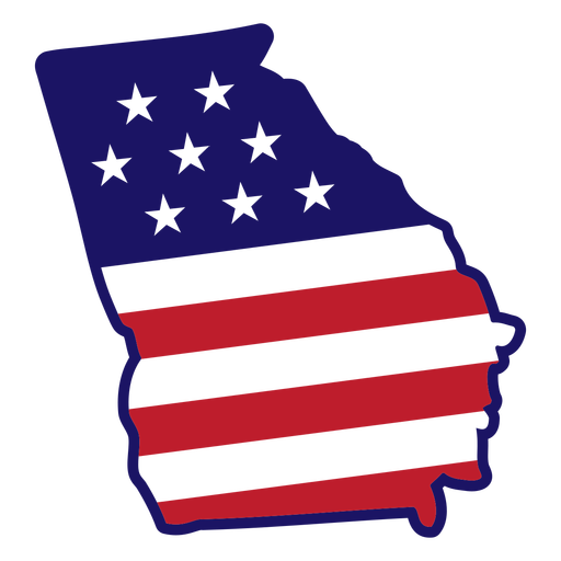
Georgia state map color stroke PNG Design
Choose a folder
All favorites
Create new
Save
Georgia state map color stroke PNG Design
Indiana state mandala map PNG Design
Choose a folder
All favorites
Create new
Save
Indiana state mandala map PNG Design
America the beauty PNG Design
Choose a folder
All favorites
Create new
Save
America the beauty PNG Design
Print ready
for Merch
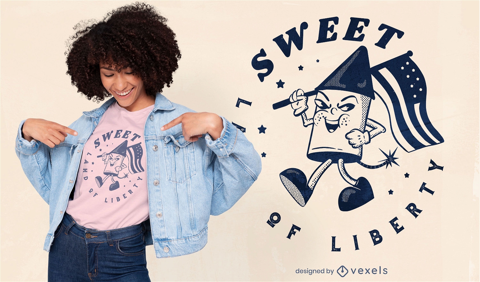
Land of liberty t-shirt design
Choose a folder
All favorites
Create new
Save
Land of liberty t-shirt design
Premium
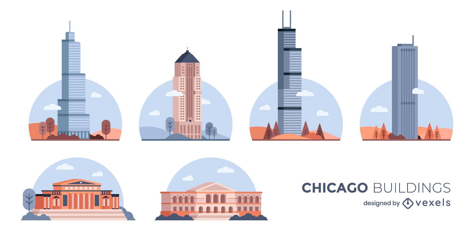
Chicago Flat Design Building Pack
Choose a folder
All favorites
Create new
Save
Chicago Flat Design Building Pack
Premium
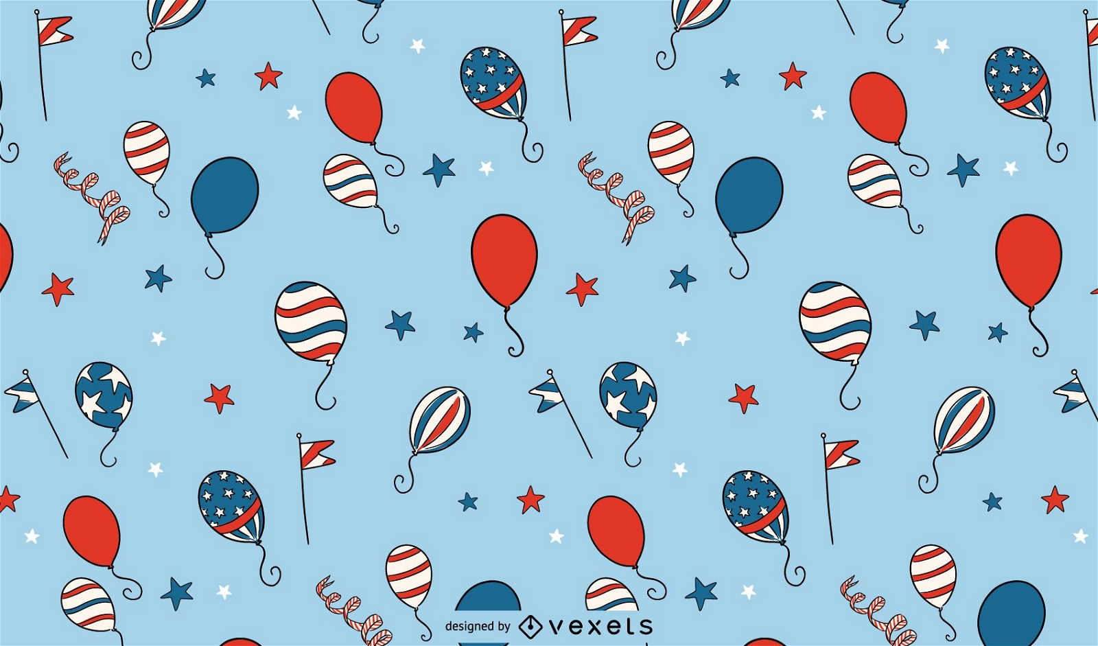
Independence day balloons pattern
Choose a folder
All favorites
Create new
Save
Independence day balloons pattern
Premium
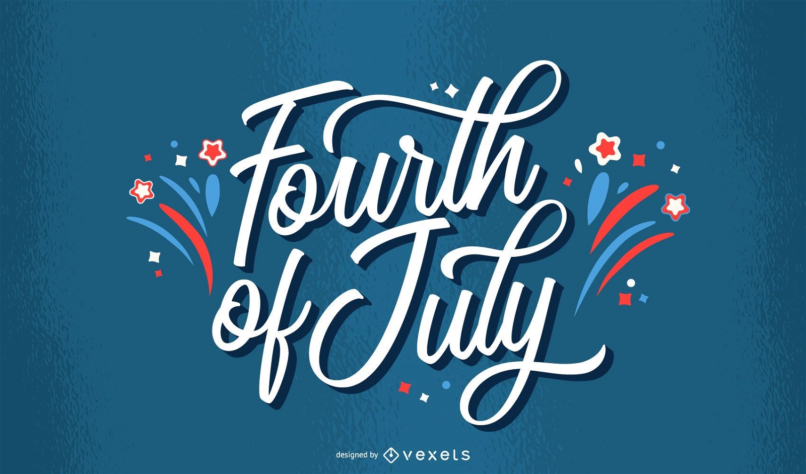
Fourth of july fireworks lettering
Choose a folder
All favorites
Create new
Save
Fourth of july fireworks lettering
Editable text
Premium
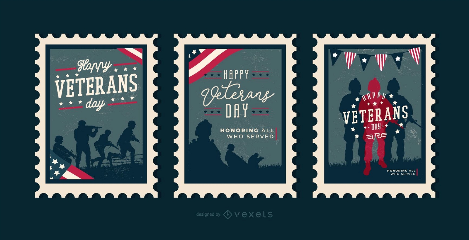
Veterans day editable stamps
Choose a folder
All favorites
Create new
Save
Veterans day editable stamps
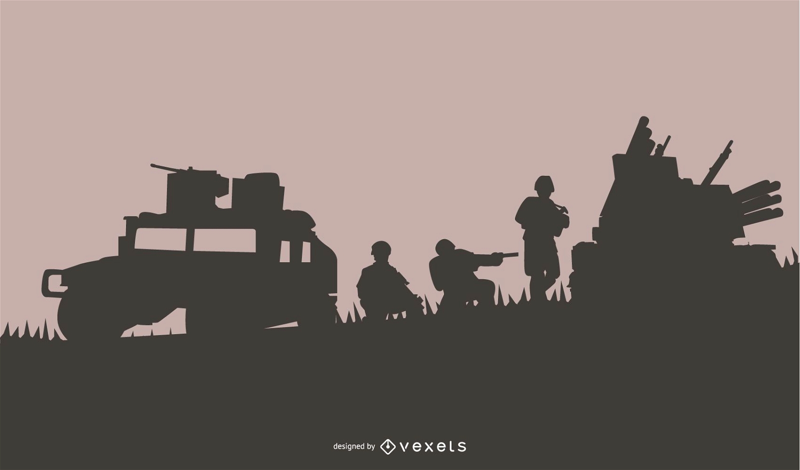
Military Scene Silhouette Background
Choose a folder
All favorites
Create new
Save
Military Scene Silhouette Background
Print ready
for Merch
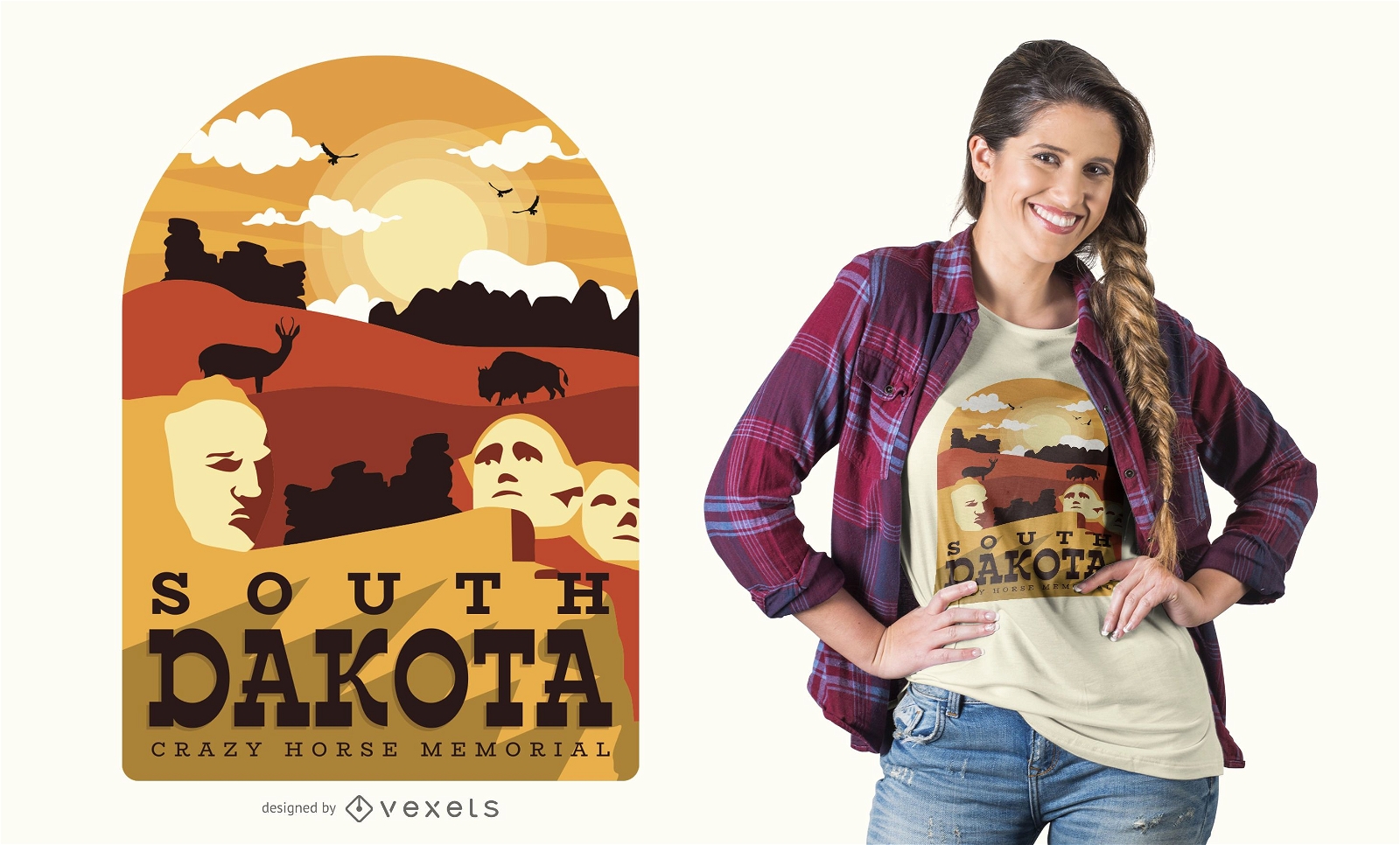
South Dakota t-shirt design
Choose a folder
All favorites
Create new
Save
South Dakota t-shirt design
Print ready
for Merch
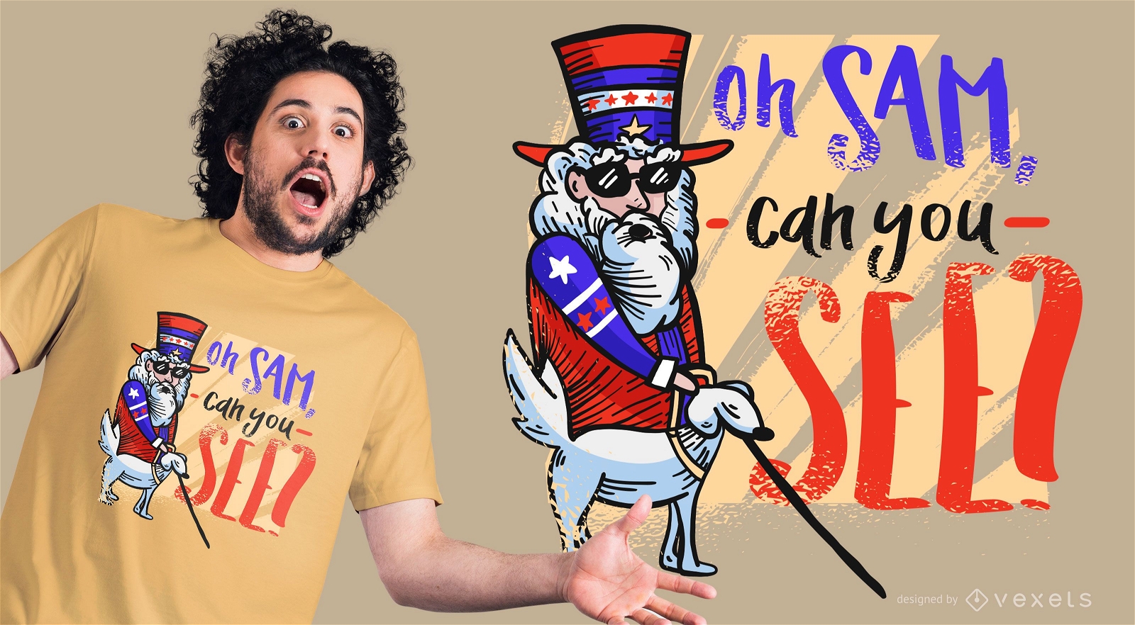
Funny Uncle Sam T-Shirt Design
Choose a folder
All favorites
Create new
Save
Funny Uncle Sam T-Shirt Design
Premium
San Jose USA Skyline Design
Choose a folder
All favorites
Create new
Save
San Jose USA Skyline Design
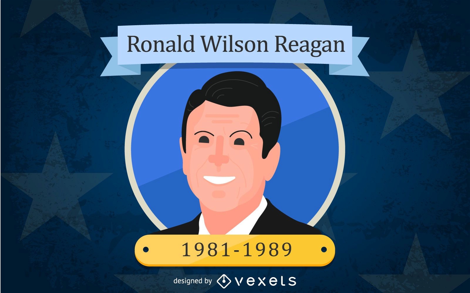
Ronald Wilson Reagan Cartoon Illustration
Choose a folder
All favorites
Create new
Save
Ronald Wilson Reagan Cartoon Illustration
Cinco de Mayo party poster
Choose a folder
All favorites
Create new
Save
Cinco de Mayo party poster
Premium
American shield badge design element PNG Design
Choose a folder
All favorites
Create new
Save
American shield badge design element PNG Design
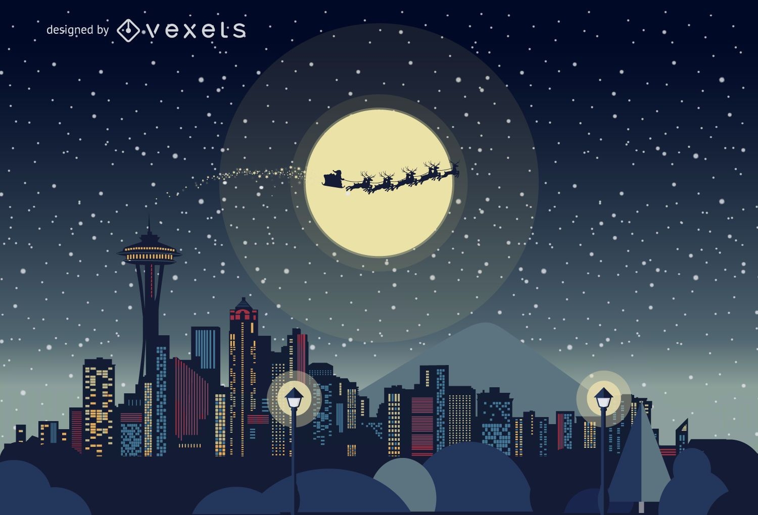
Seattle Christmas skyline
Choose a folder
All favorites
Create new
Save
Seattle Christmas skyline
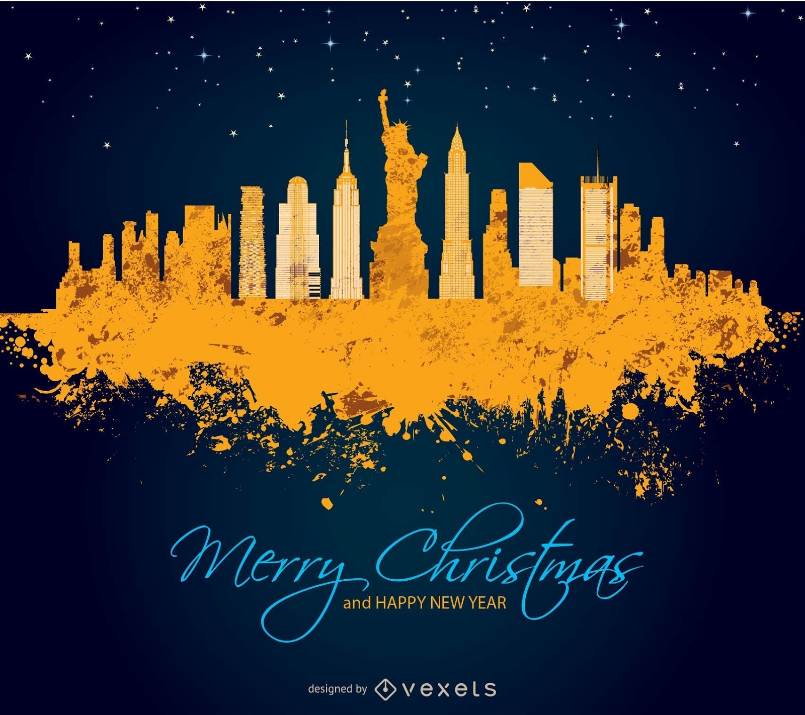
Merry Christmas in Manhattan
Choose a folder
All favorites
Create new
Save
Merry Christmas in Manhattan
Print ready
for Merch
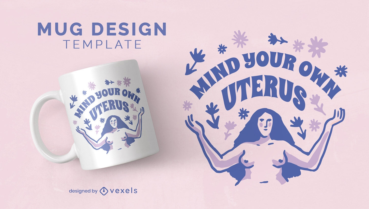
Female reproductive rights mug design
Choose a folder
All favorites
Create new
Save
Female reproductive rights mug design
Editable text
Print ready
for Merch
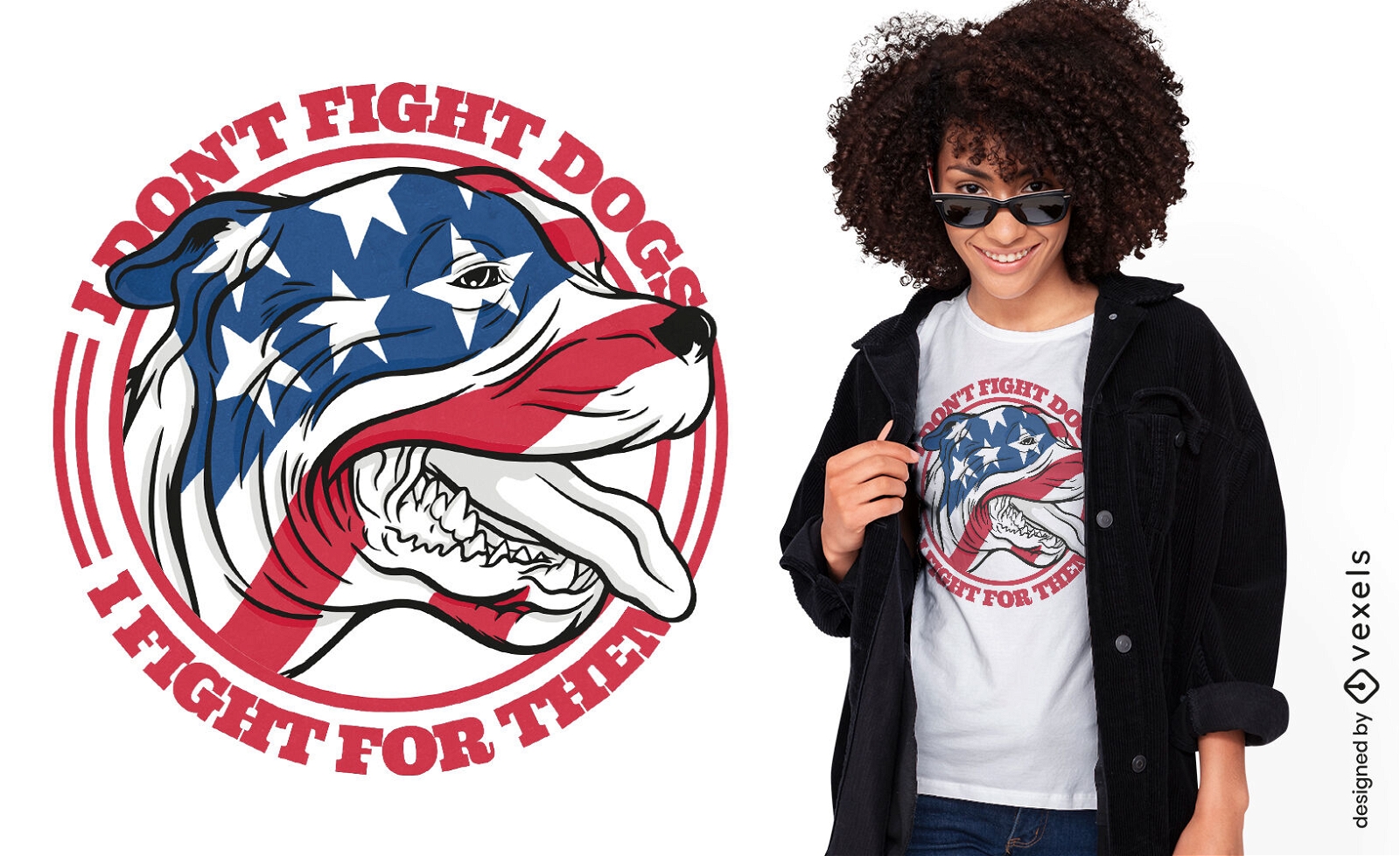
Dog animal with USA flag t-shirt design
Choose a folder
All favorites
Create new
Save
Dog animal with USA flag t-shirt design
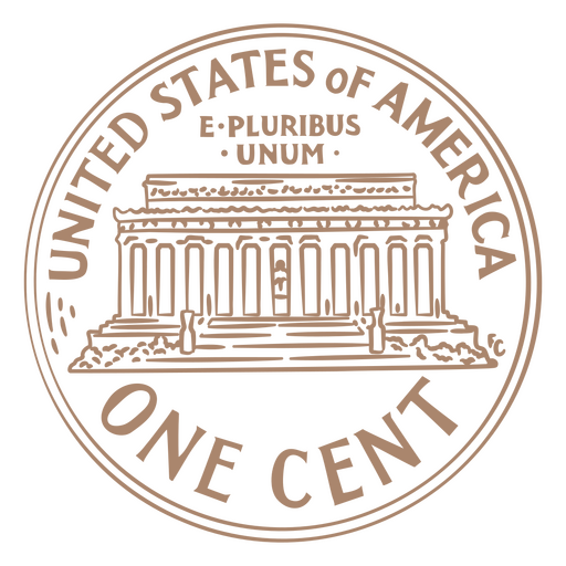
Coin stroke usa one cent PNG Design
Choose a folder
All favorites
Create new
Save
Coin stroke usa one cent PNG Design
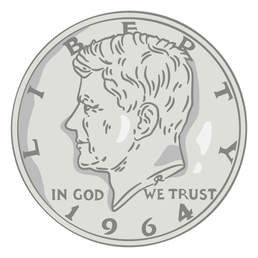
Coin illustration half dollar head usa PNG Design
Choose a folder
All favorites
Create new
Save
Coin illustration half dollar head usa PNG Design
Premium
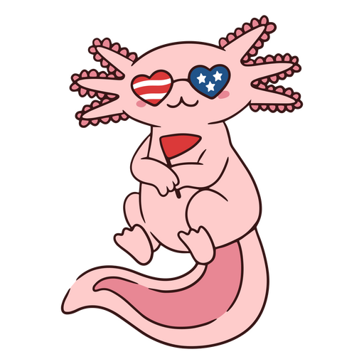
Pink axolotl with USA flag glasses PNG Design
Choose a folder
All favorites
Create new
Save
Pink axolotl with USA flag glasses PNG Design
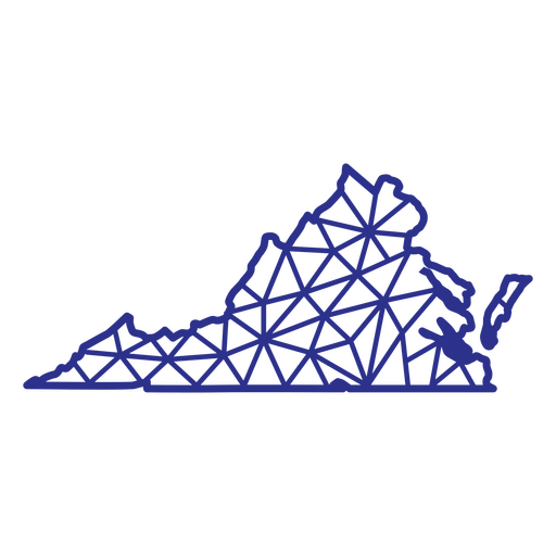
Virginia map polygonal PNG Design
Choose a folder
All favorites
Create new
Save
Virginia map polygonal PNG Design
Premium
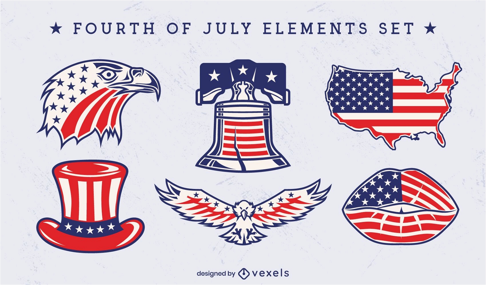
Independence day set of iconic elements
Choose a folder
All favorites
Create new
Save
Independence day set of iconic elements
Liberty bell American icons color stroke PNG Design
Choose a folder
All favorites
Create new
Save
Liberty bell American icons color stroke PNG Design
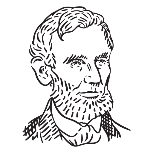
Abraham Lincoln American figures stroke PNG Design
Choose a folder
All favorites
Create new
Save
Abraham Lincoln American figures stroke PNG Design
Freedom american color lettering badge PNG Design
Choose a folder
All favorites
Create new
Save
Freedom american color lettering badge PNG Design
America retro color lettering badge PNG Design
Choose a folder
All favorites
Create new
Save
America retro color lettering badge PNG Design
Flying american eagle badge cut out PNG Design
Choose a folder
All favorites
Create new
Save
Flying american eagle badge cut out PNG Design
Merica american flag color stroke badge PNG Design
Choose a folder
All favorites
Create new
Save
Merica american flag color stroke badge PNG Design
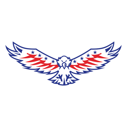
American flying eagle color stroke PNG Design
Choose a folder
All favorites
Create new
Save
American flying eagle color stroke PNG Design
Print ready
for Merch
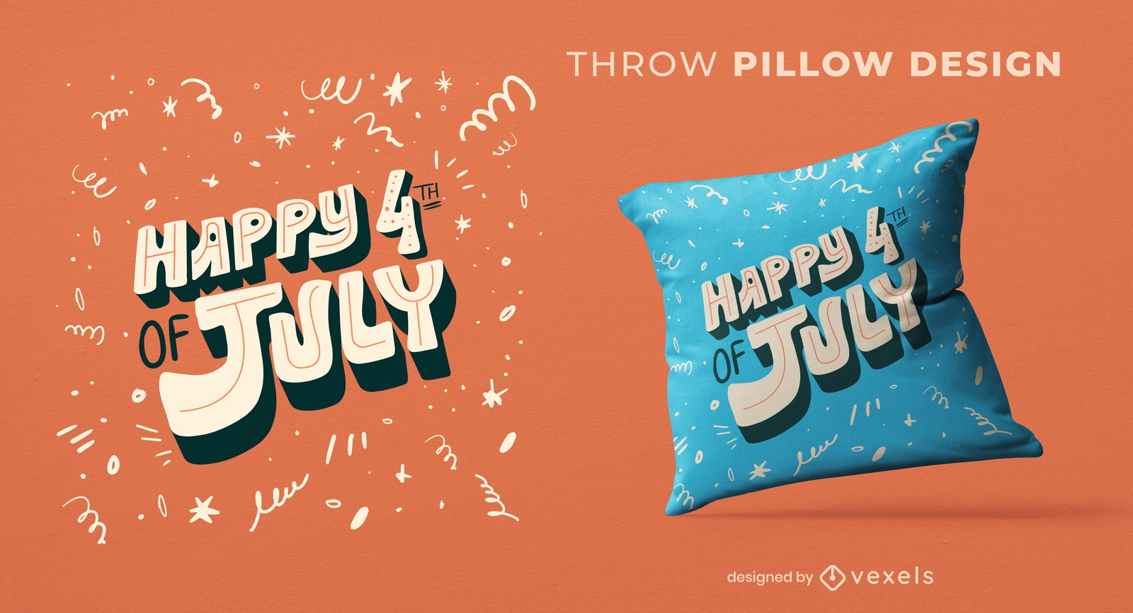
4th of july throw pillow design
Choose a folder
All favorites
Create new
Save
4th of july throw pillow design
for Merch
US Natural Resources Logo T-shirt Design
Choose a folder
All favorites
Create new
Save
US Natural Resources Logo T-shirt Design
Premium
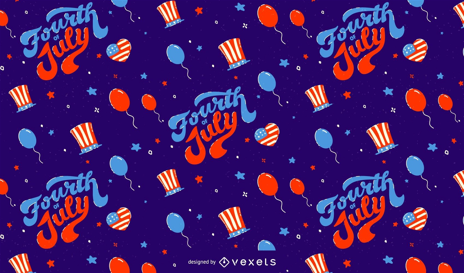
Fourth of july pattern design
Choose a folder
All favorites
Create new
Save
Fourth of july pattern design
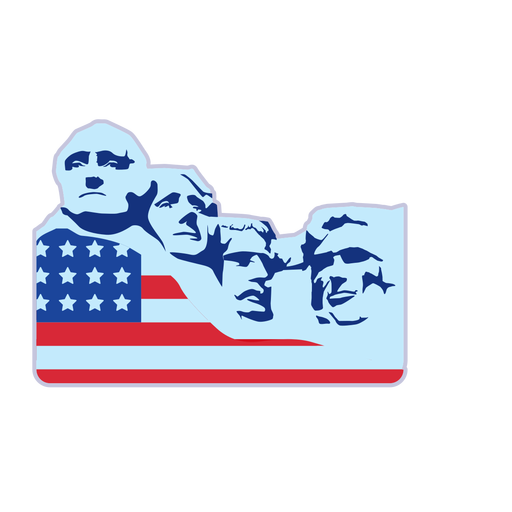
Mount rushmore usa flag element PNG Design
Choose a folder
All favorites
Create new
Save
Mount rushmore usa flag element PNG Design
Premium
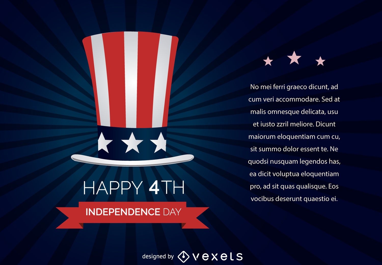
July 4th Independence Day Design
Choose a folder
All favorites
Create new
Save
July 4th Independence Day Design
Premium
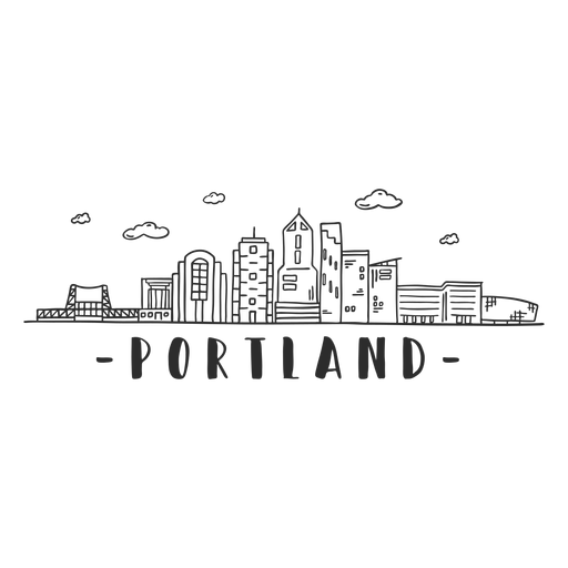
Portland bridge tower sky scraper skyline sticker PNG Design
Choose a folder
All favorites
Create new
Save
Portland bridge tower sky scraper skyline sticker PNG Design
Premium
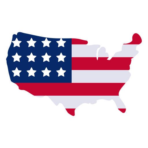
American map design element PNG Design
Choose a folder
All favorites
Create new
Save
American map design element PNG Design
Colorful San Jose skyline
Choose a folder
All favorites
Create new
Save
Colorful San Jose skyline
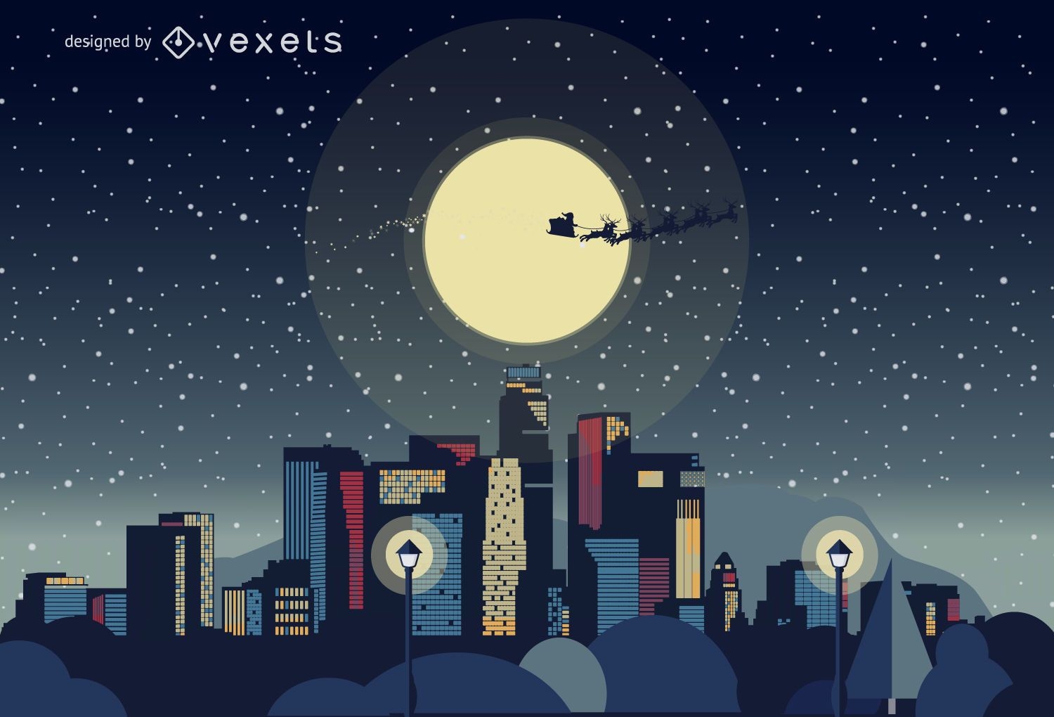
Los Angeles Christmas skyline
Choose a folder
All favorites
Create new
Save
Los Angeles Christmas skyline
America print barbecue stove PNG Design
Choose a folder
All favorites
Create new
Save
America print barbecue stove PNG Design
American flag printed ribbon PNG Design
Choose a folder
All favorites
Create new
Save
American flag printed ribbon PNG Design
Independence Day White House design
Choose a folder
All favorites
Create new
Save
Independence Day White House design
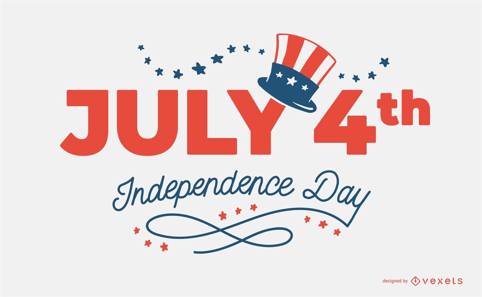
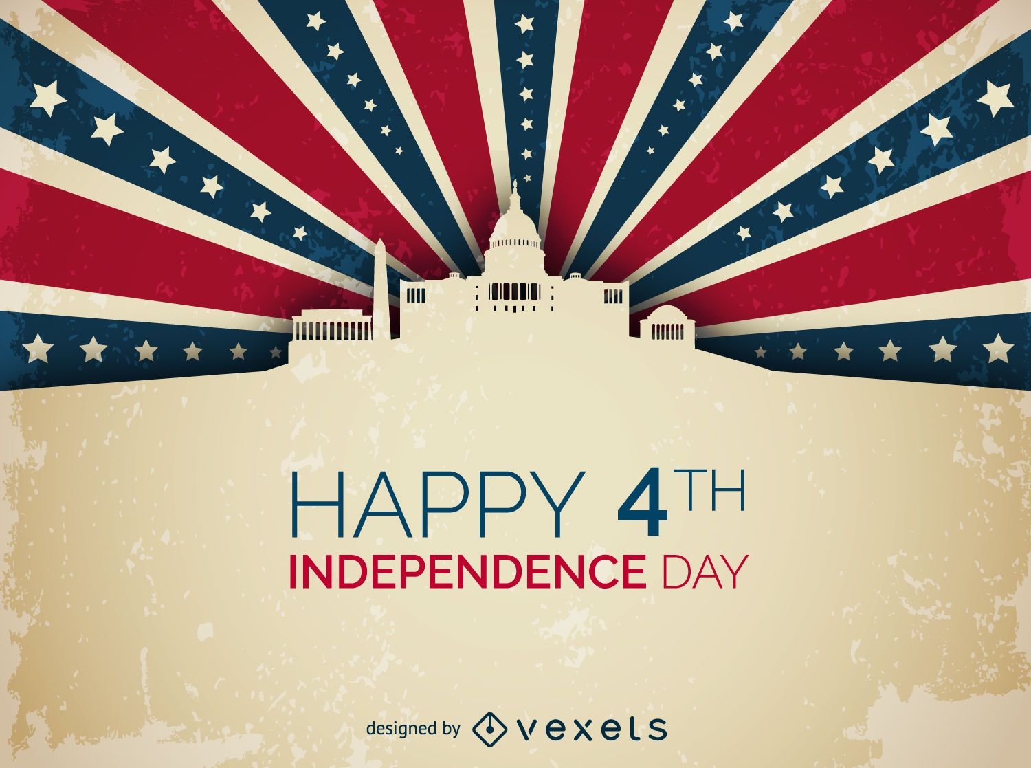
4th July Independence Day
Choose a folder
All favorites
Create new
Save
4th July Independence Day
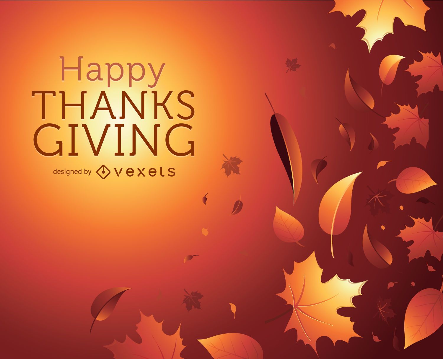
Thanks Giving autumn graphic
Choose a folder
All favorites
Create new
Save
Thanks Giving autumn graphic
Editable text
Print ready
for Merch
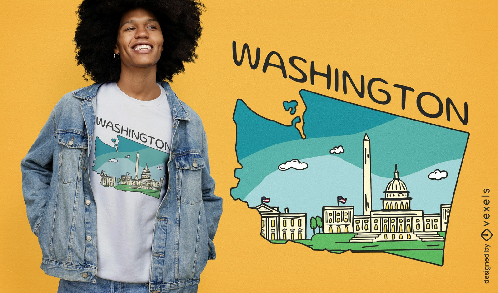
Washington dc t-shirt design
Choose a folder
All favorites
Create new
Save
Washington dc t-shirt design
Editable text
Print ready
for Merch
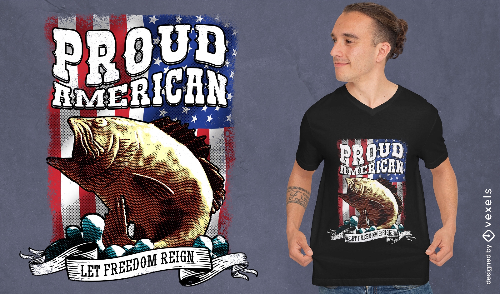
Proud american fish and flag psd t-shirt design
Choose a folder
All favorites
Create new
Save
Proud american fish and flag psd t-shirt design
Editable text
Print ready
for Merch
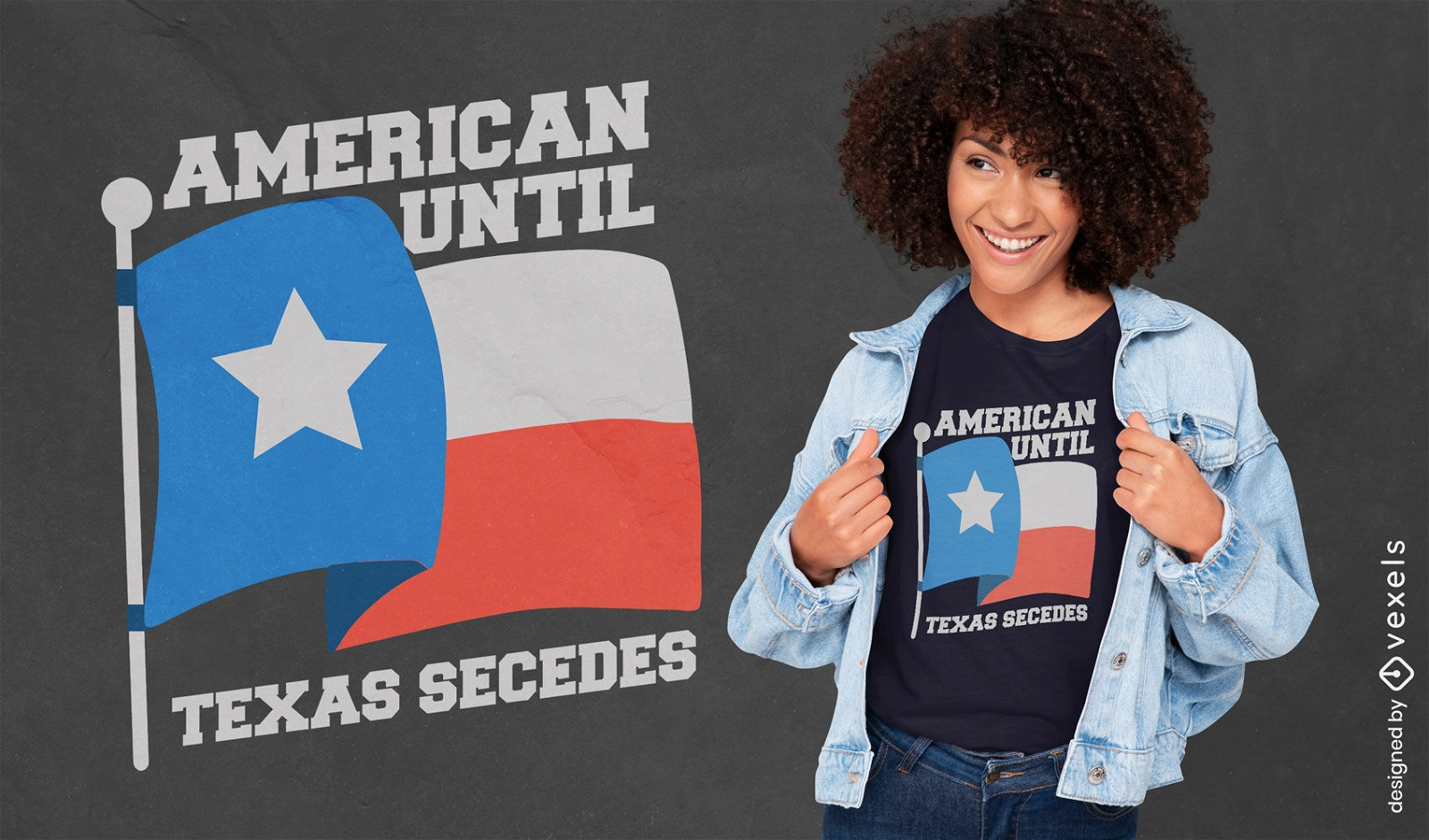
American until Texas secedes patriotic t-shirt design
Choose a folder
All favorites
Create new
Save
American until Texas secedes patriotic t-shirt design
Coin stroke nickel head usa PNG Design
Choose a folder
All favorites
Create new
Save
Coin stroke nickel head usa PNG Design
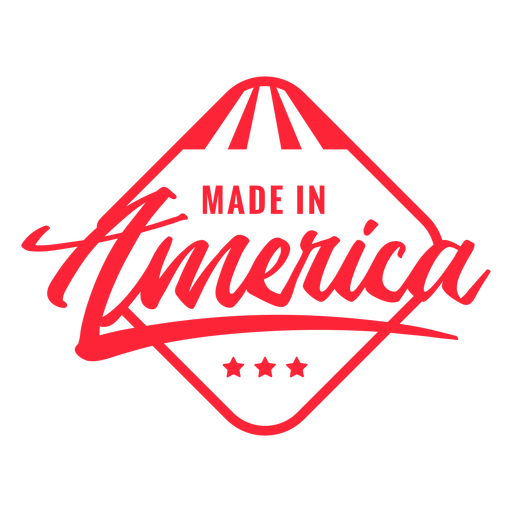
Made in America quote filled stroke PNG Design
Choose a folder
All favorites
Create new
Save
Made in America quote filled stroke PNG Design
Boost Your Business
With The Leading Graphic Platform For Merch.
SEE PLANS
Next
of 69
prev page
next page