Design Library
New Merch Designs
T-Shirts
Vectors
Trending Merch Designs
PNGs & SVGs
Mockups
T-Shirt PSD Templates
Explore Designs
KDP Designs
Posters
Mugs
Phone Cases
Tote Bags
Pillows
Design Tools
Merch Designer
New!
Mockup Generator
AI Design Generator
Image Vectorizer
Quote Generator
T-Shirt Maker (Old)
Resources
Merch Digest
Blog
Help Center
Learn About Merch
Feedback
Corporate Solutions
Enterprise
API Access
Design Studio
Bulk Design Production
Pricing
Loading...
Sign Up
Login
All
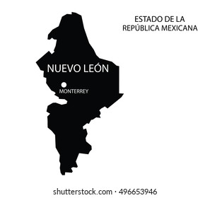
estados
Design Library
New Merch Designs
T-Shirts
Vectors
Trending Merch Designs
PNGs & SVGs
Mockups
T-Shirt PSD Templates
Explore Designs
KDP Designs
Posters
Mugs
Phone Cases
Tote Bags
Pillows
Design Tools
Merch Designer
New!
Mockup Generator
AI Design Generator
Image Vectorizer
Quote Generator
T-Shirt Maker (Old)
Resources
Merch Digest
Blog
Help Center
Learn About Merch
Feedback
Corporate Solutions
Enterprise
API Access
Design Studio
Bulk Design Production
PLANS
All
estados
3409 estados designs graphics for t-shirt and print on demand merch
Download estados t-shirt designs and other merch graphics like book covers, phone cases, tote bags and more.
Sort by
Most relevant
Sponsored results by
Get 15% off with code: VEXELS15
Show more
4th july usa logo PNG Design
Choose a folder
All favorites
Create new
Save
4th july usa logo PNG Design
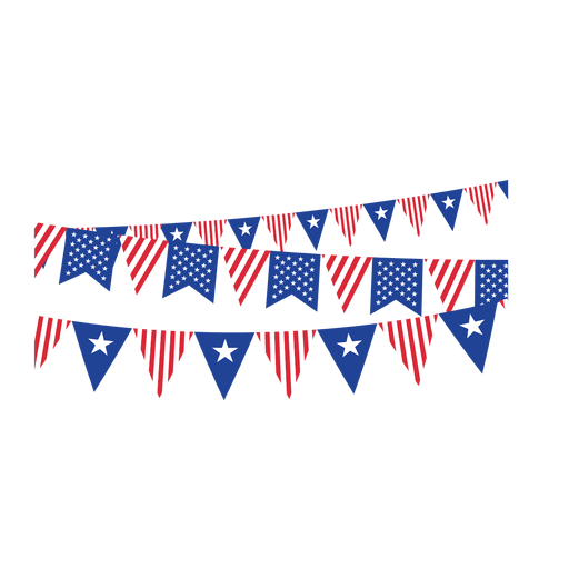
Triangle ribbon usa buntings PNG Design
Choose a folder
All favorites
Create new
Save
Triangle ribbon usa buntings PNG Design
Print ready
for Merch
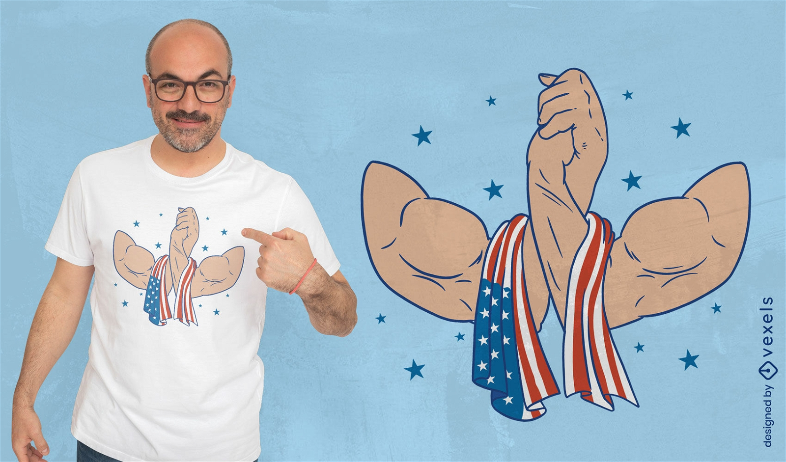
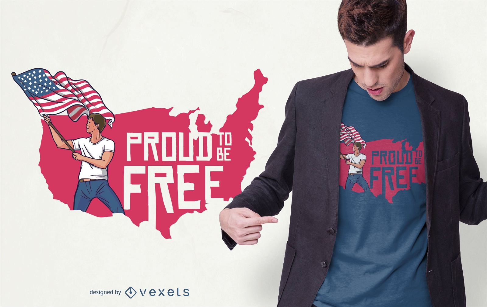
USA muscular handshake t-shirt design
Choose a folder
All favorites
Create new
Save
USA muscular handshake t-shirt design
Editable text
Print ready
for Merch
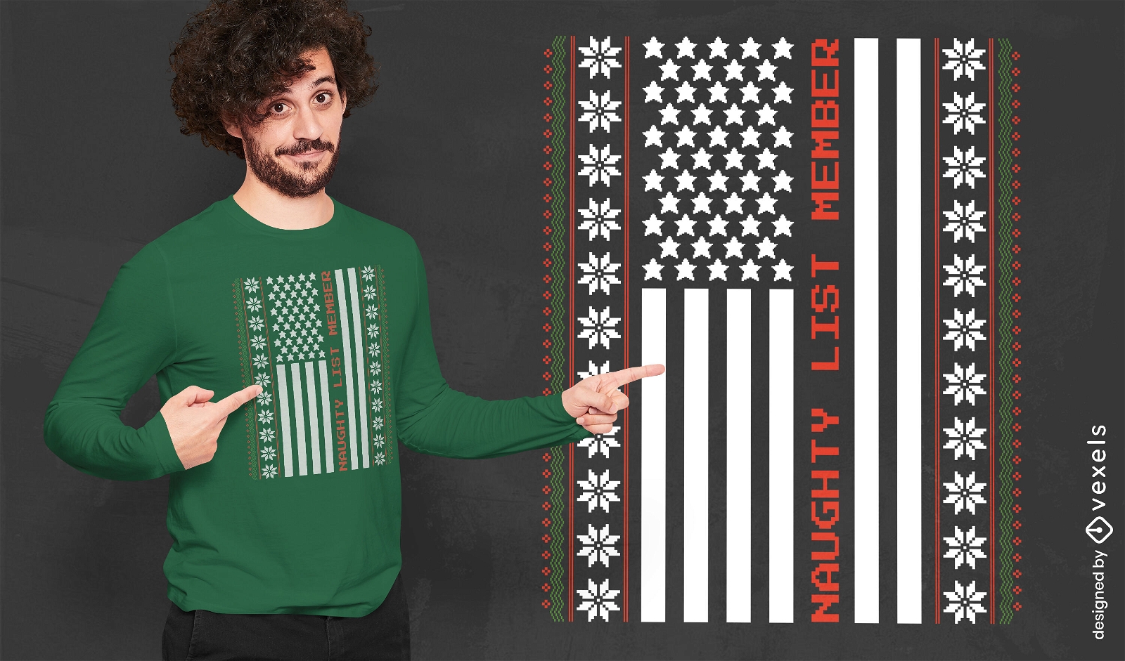
Naughty Christmas USA flag t-shirt design
Choose a folder
All favorites
Create new
Save
Naughty Christmas USA flag t-shirt design
Veteran's day soldier army badge PNG Design
Choose a folder
All favorites
Create new
Save
Veteran's day soldier army badge PNG Design
Print ready
for Merch
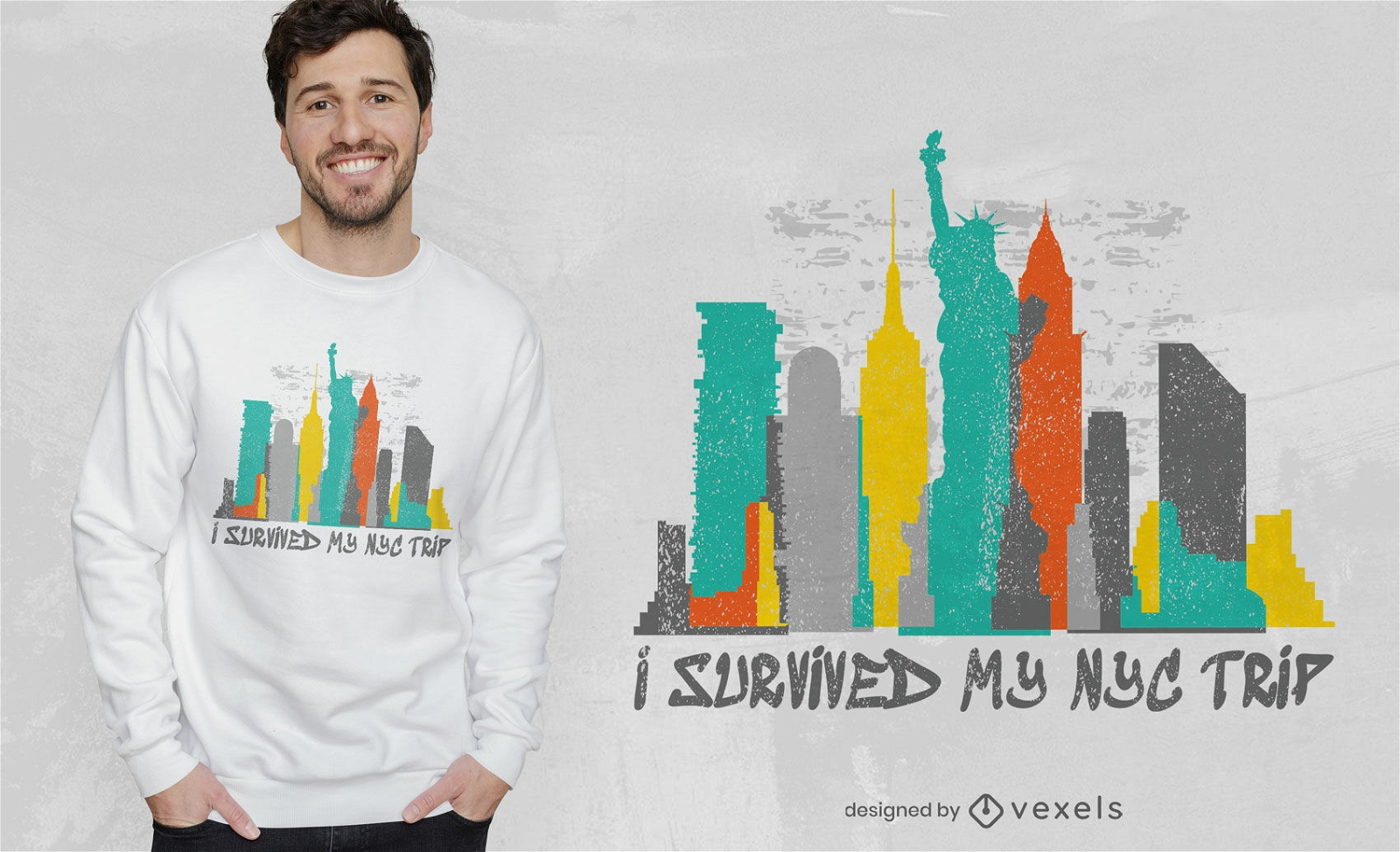
Survived my NYC trip t-shirt design
Choose a folder
All favorites
Create new
Save
Survived my NYC trip t-shirt design
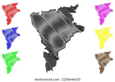
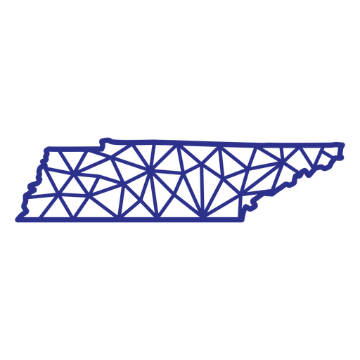
Tennessee map polygonal PNG Design
Choose a folder
All favorites
Create new
Save
Tennessee map polygonal PNG Design
Premium
Vintage veterans day american holiday slider
Choose a folder
All favorites
Create new
Save
Vintage veterans day american holiday slider
Print ready
for Merch
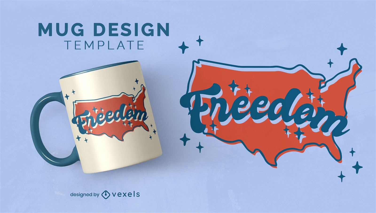
North american map freedom mug design
Choose a folder
All favorites
Create new
Save
North american map freedom mug design
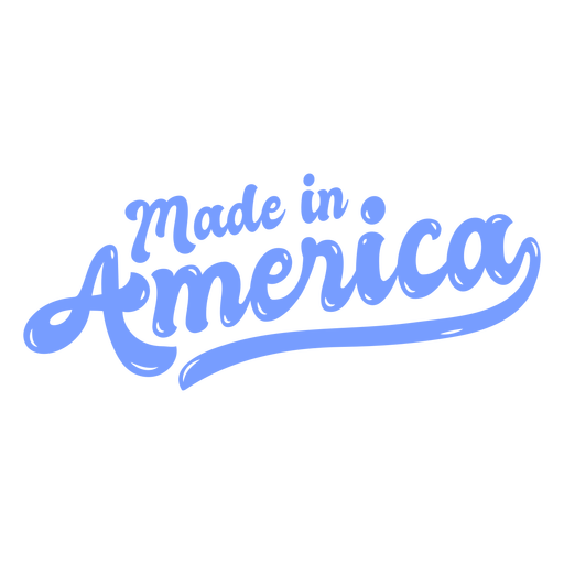
Made in america glossy PNG Design
Choose a folder
All favorites
Create new
Save
Made in america glossy PNG Design
Uncle sam hat badge color stroke PNG Design
Choose a folder
All favorites
Create new
Save
Uncle sam hat badge color stroke PNG Design
Print ready
for Merch
Freedom Pride T-shirt Design
Choose a folder
All favorites
Create new
Save
Freedom Pride T-shirt Design
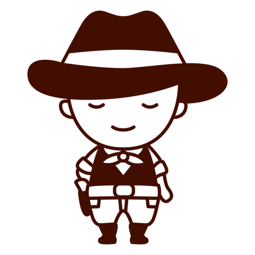
Stroke american cowboy cute PNG Design
Choose a folder
All favorites
Create new
Save
Stroke american cowboy cute PNG Design
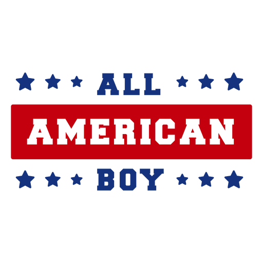
All american boy lettering PNG Design
Choose a folder
All favorites
Create new
Save
All american boy lettering PNG Design
Premium
US President Donald Trump Cartoon
Choose a folder
All favorites
Create new
Save
US President Donald Trump Cartoon
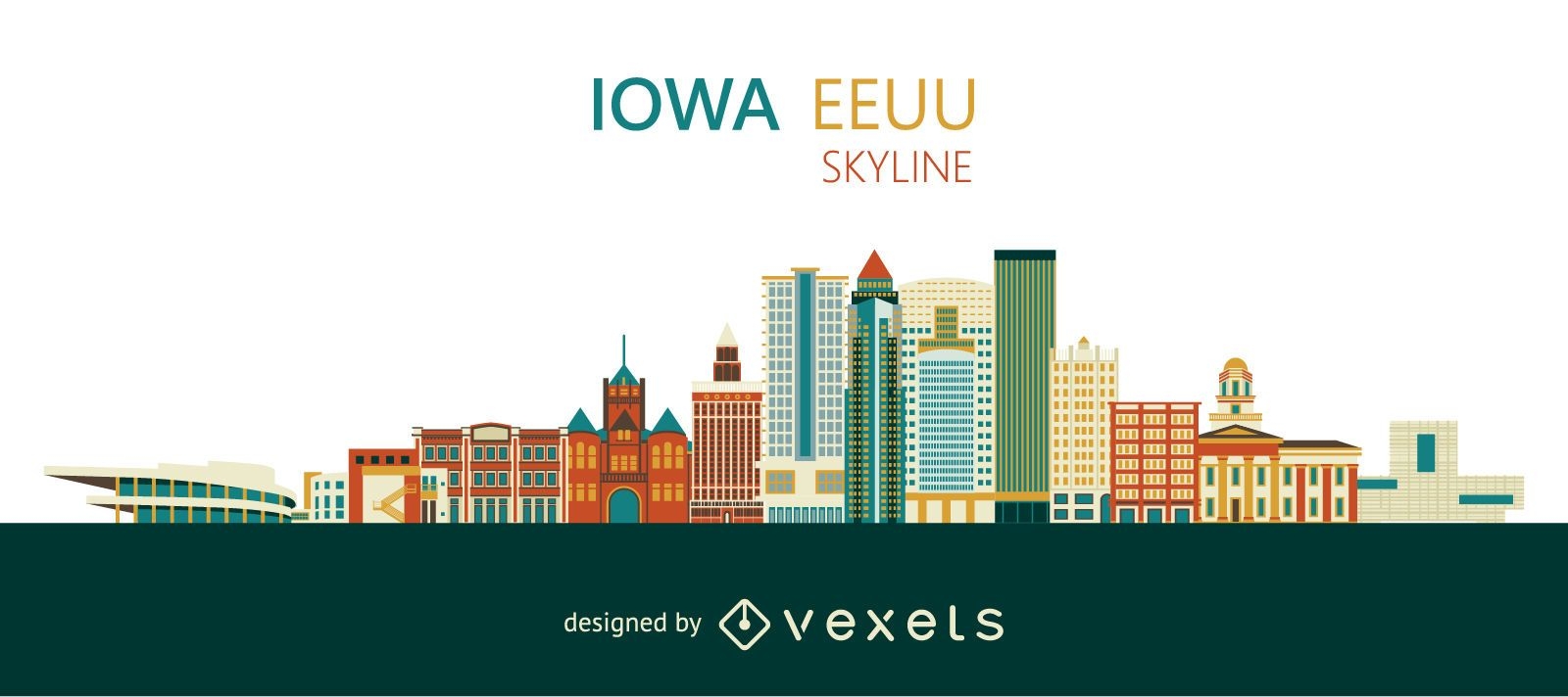
Colorful Iowa skyline design
Choose a folder
All favorites
Create new
Save
Colorful Iowa skyline design
Premium
Flag day badge PNG Design
Choose a folder
All favorites
Create new
Save
Flag day badge PNG Design
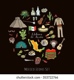
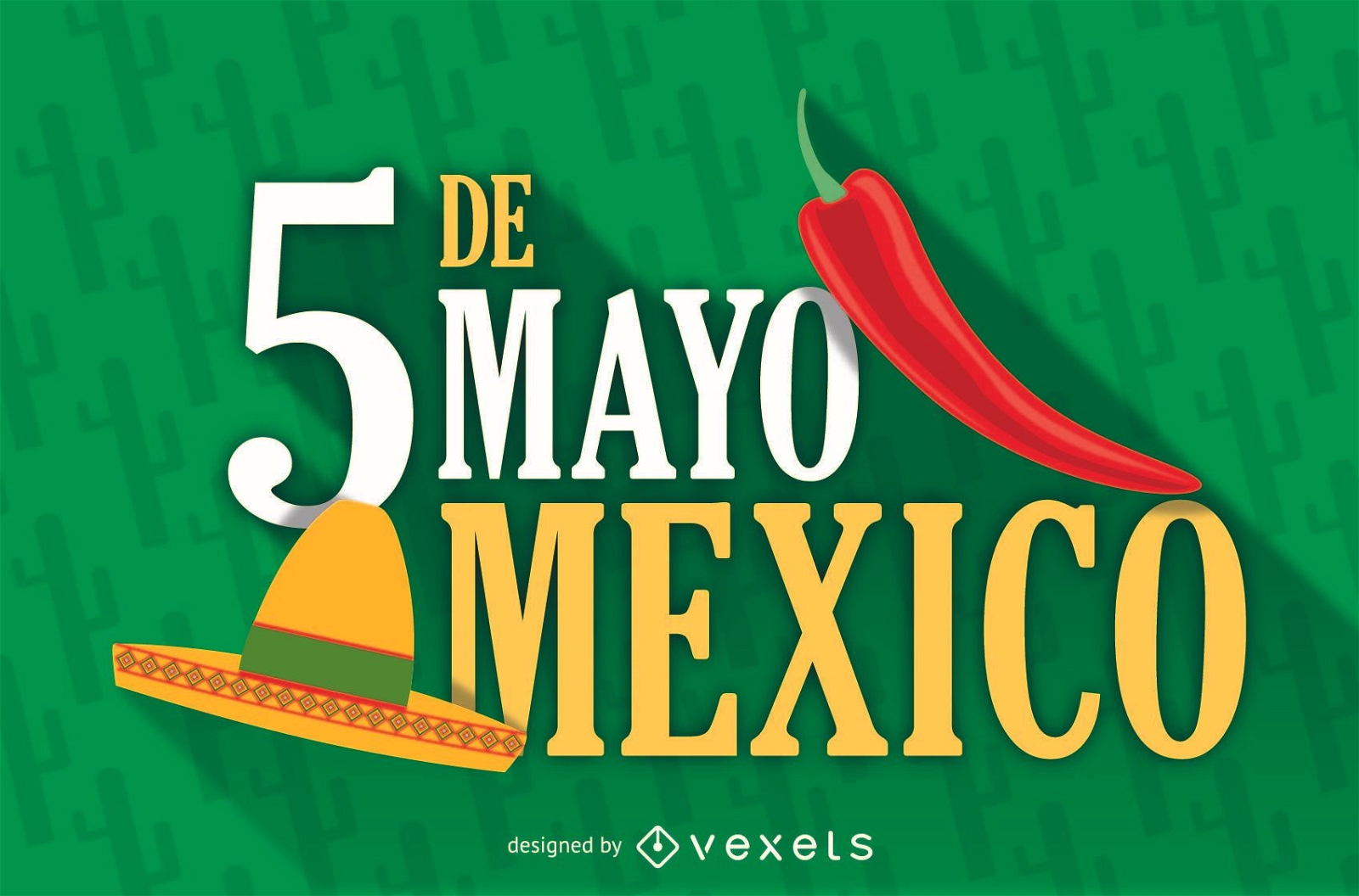
Mexico 5 de mayo illustration
Choose a folder
All favorites
Create new
Save
Mexico 5 de mayo illustration
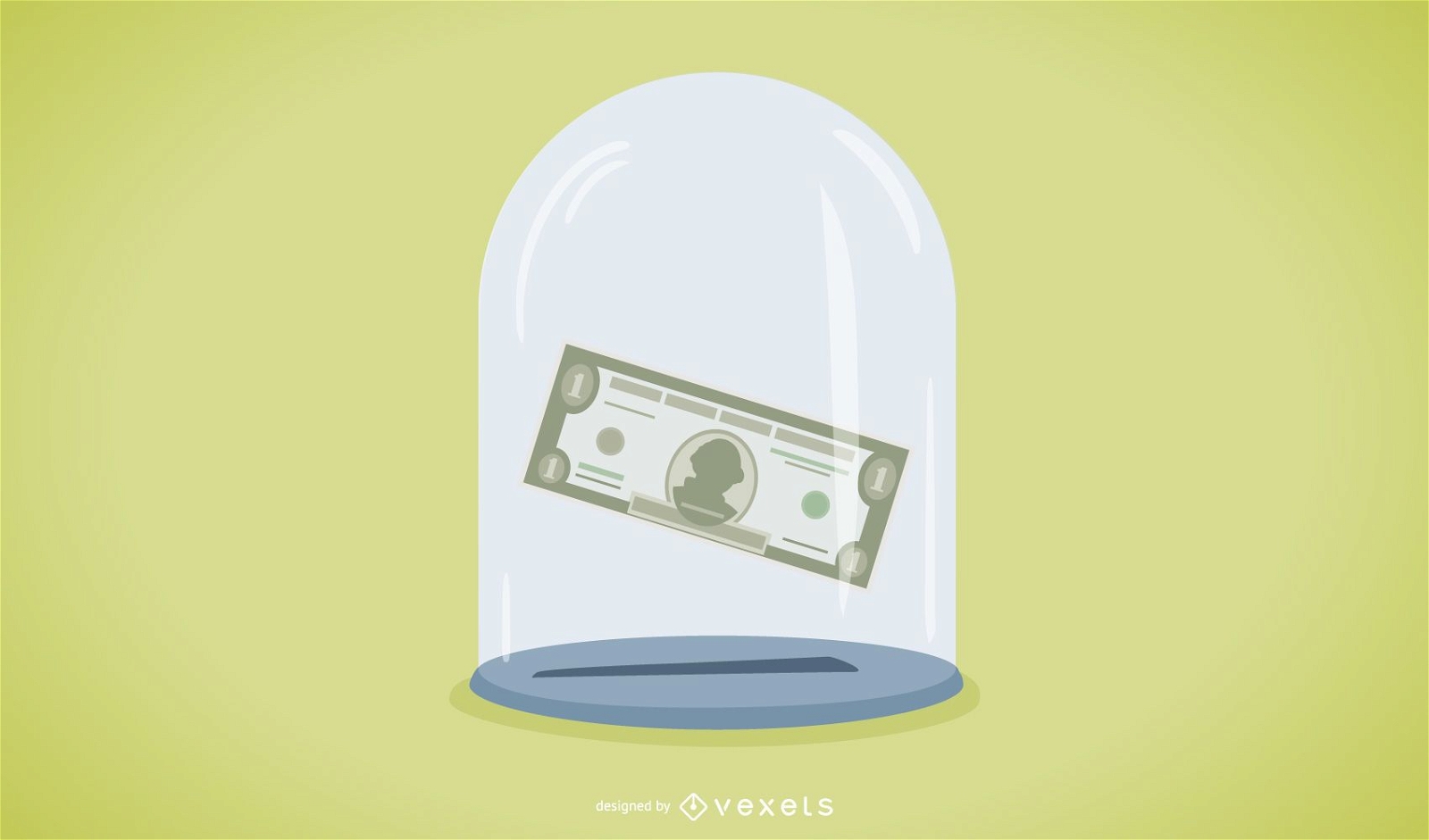
Crisis business concept
Choose a folder
All favorites
Create new
Save
Crisis business concept
Print ready
for Merch
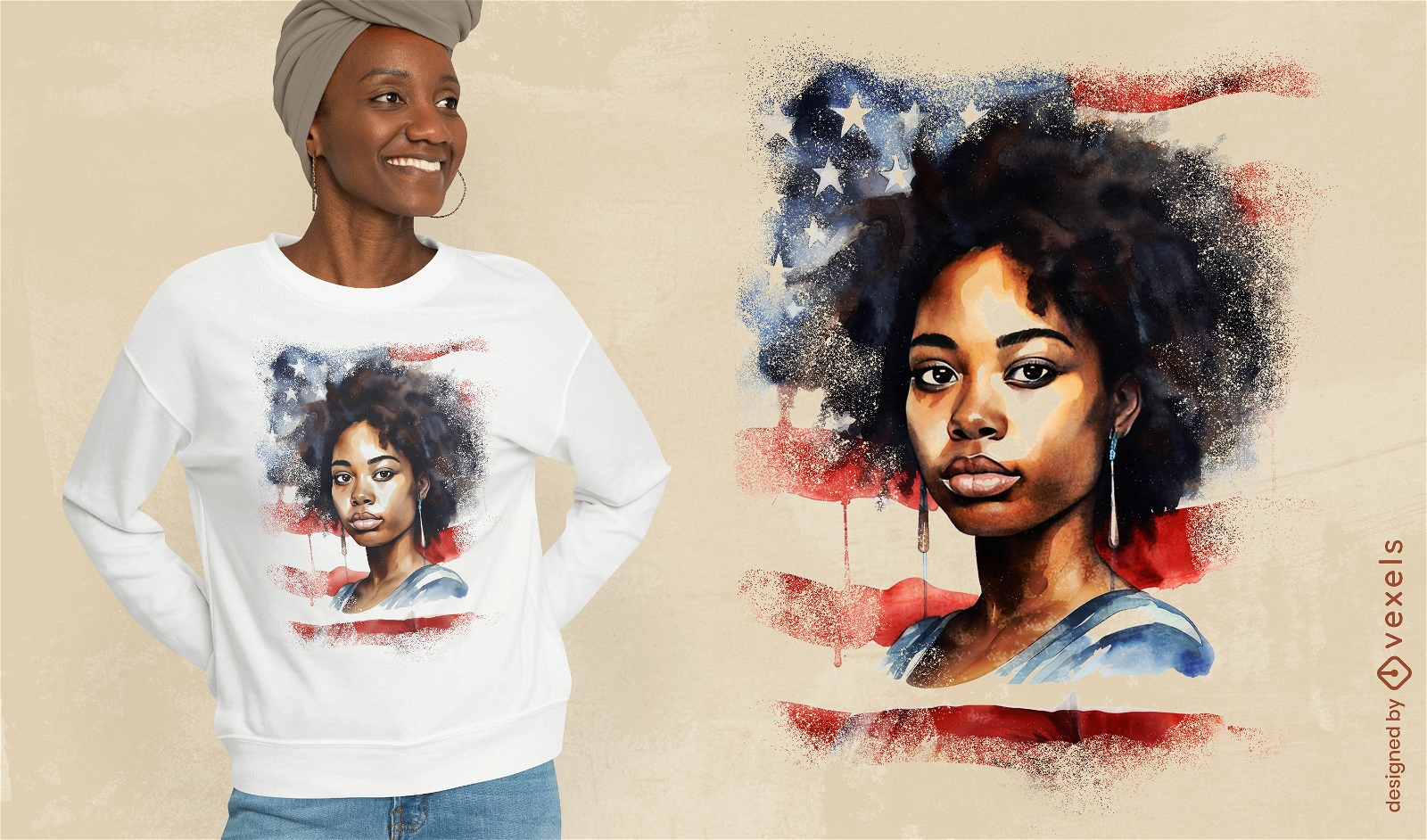
African american woman watercolor t-shirt psd
Choose a folder
All favorites
Create new
Save
African american woman watercolor t-shirt psd
Premium
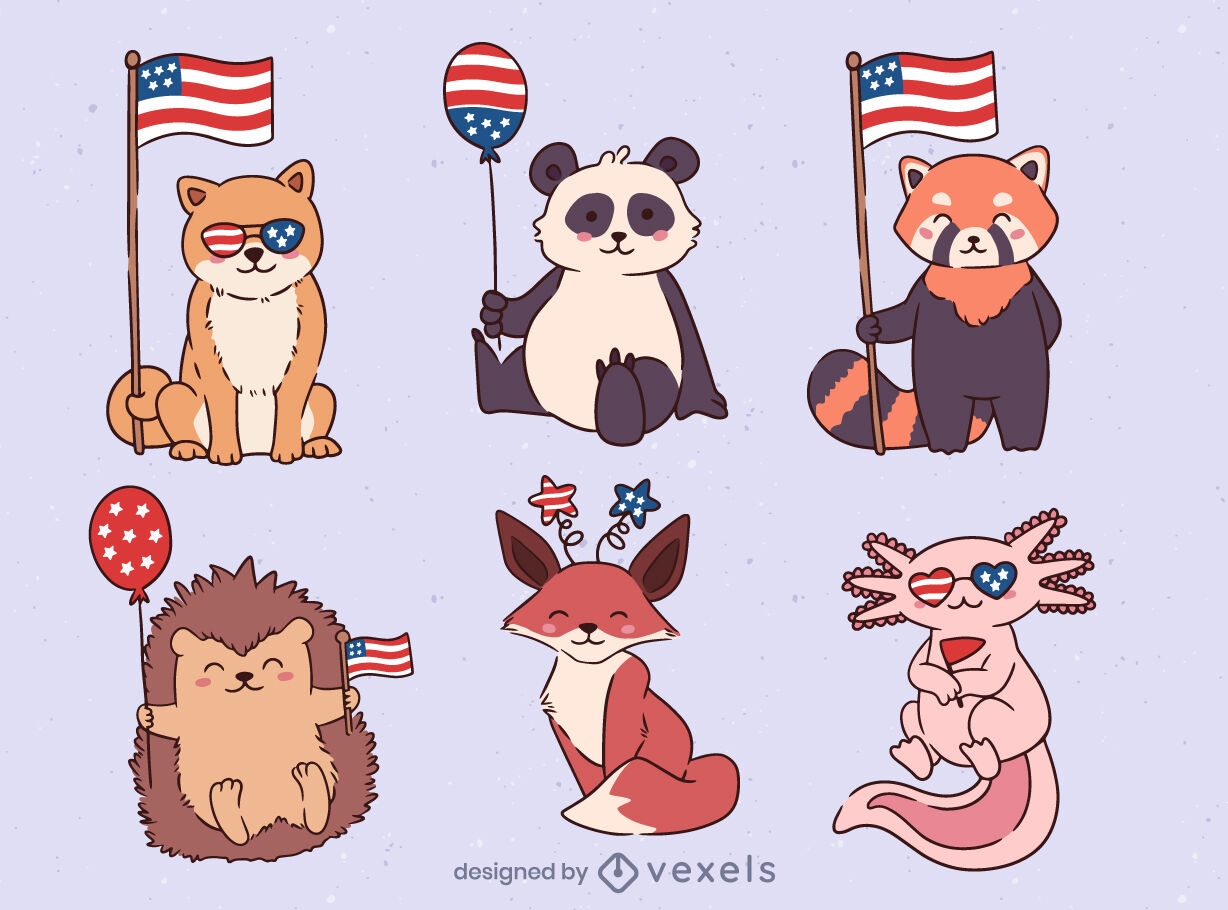
Patriot USA animals set design
Choose a folder
All favorites
Create new
Save
Patriot USA animals set design
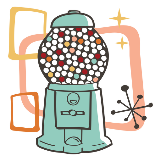
Gumball machine retro food treats PNG Design
Choose a folder
All favorites
Create new
Save
Gumball machine retro food treats PNG Design
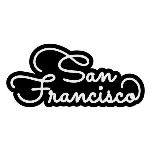
Places lettering san francisco PNG Design
Choose a folder
All favorites
Create new
Save
Places lettering san francisco PNG Design
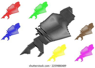
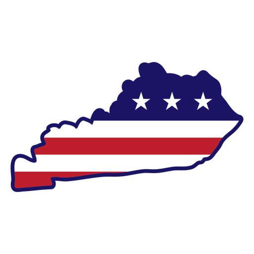
Kentucky map color stroke PNG Design
Choose a folder
All favorites
Create new
Save
Kentucky map color stroke PNG Design
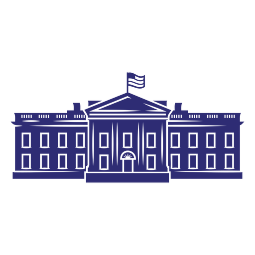
White house cut out element PNG Design
Choose a folder
All favorites
Create new
Save
White house cut out element PNG Design
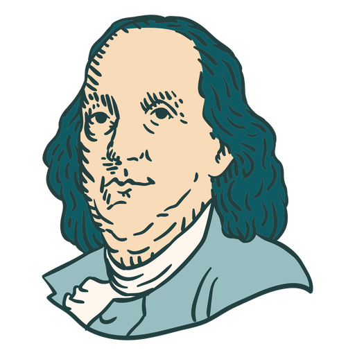
Benjamin Franklin American figures color stroke PNG Design
Choose a folder
All favorites
Create new
Save
Benjamin Franklin American figures color stroke PNG Design
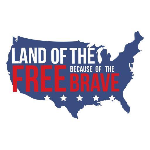
Land of the free quote flat PNG Design
Choose a folder
All favorites
Create new
Save
Land of the free quote flat PNG Design
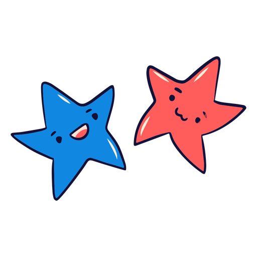
Blue and red stars cute PNG Design
Choose a folder
All favorites
Create new
Save
Blue and red stars cute PNG Design
Happy 4th of July badge text PNG Design
Choose a folder
All favorites
Create new
Save
Happy 4th of July badge text PNG Design
Freedom lettering american flag filled stroke badge PNG Design
Choose a folder
All favorites
Create new
Save
Freedom lettering american flag filled stroke badge PNG Design
for Merch
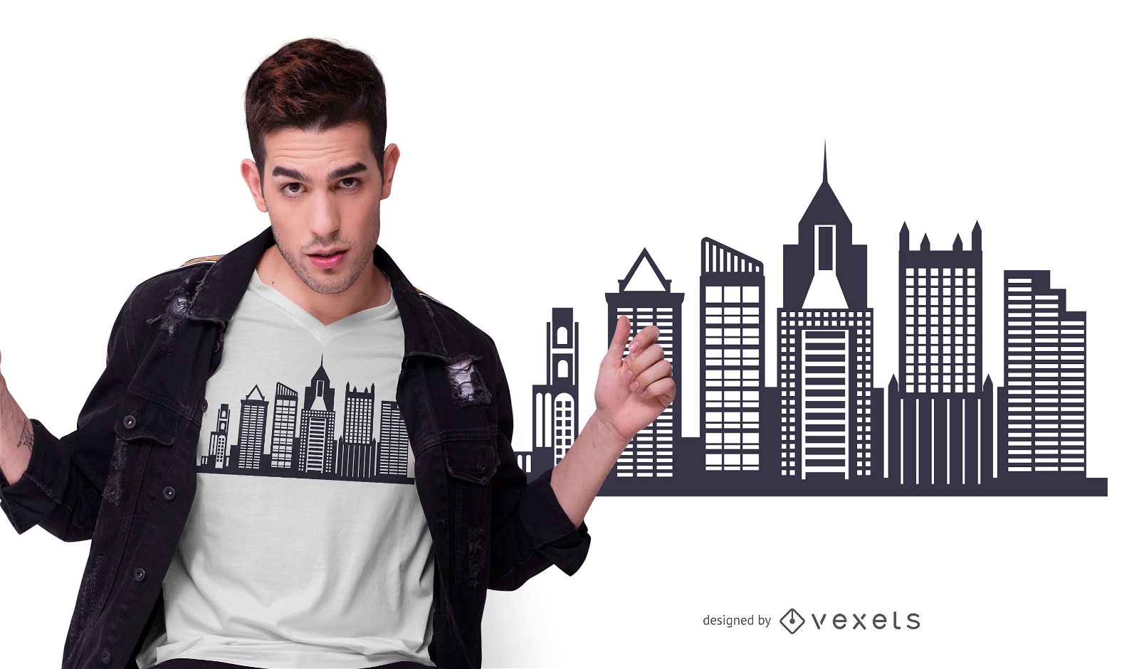
Pittsburgh Skyline T-shirt Design
Choose a folder
All favorites
Create new
Save
Pittsburgh Skyline T-shirt Design
Print ready
for Merch
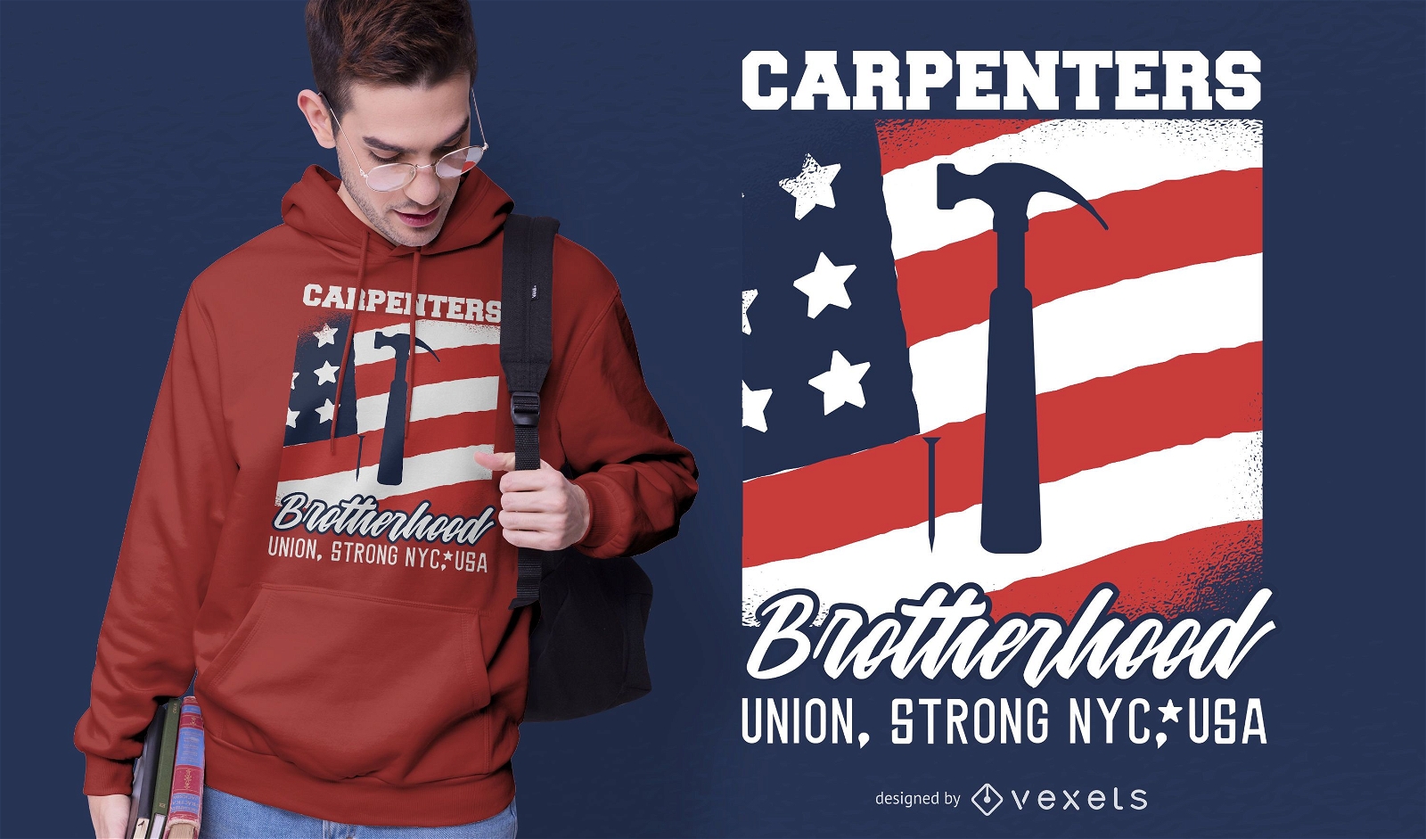
Carpenters Brotherhood T-shirt Design
Choose a folder
All favorites
Create new
Save
Carpenters Brotherhood T-shirt Design
Print ready
for Merch
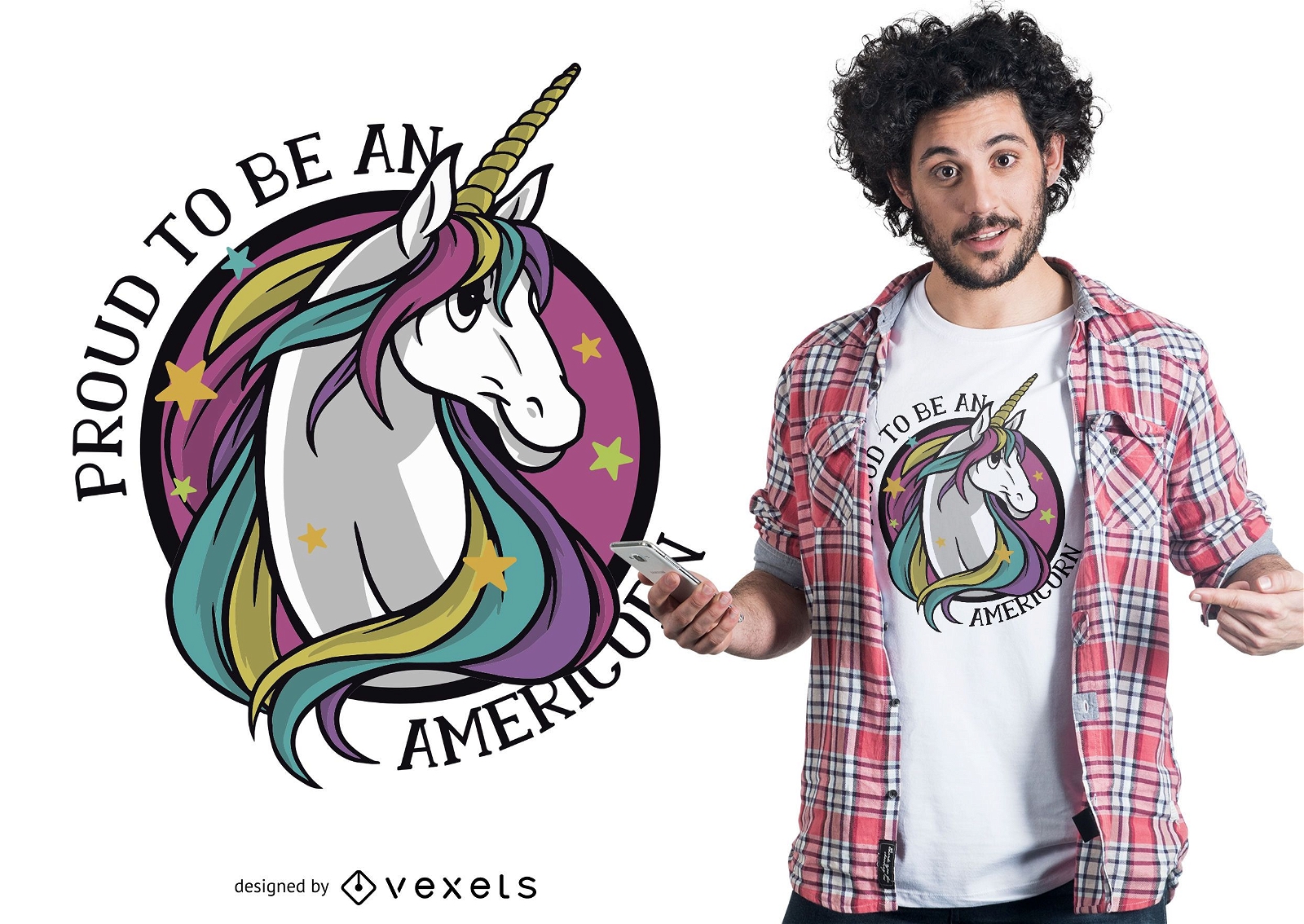
Proud americorn t-shirt design
Choose a folder
All favorites
Create new
Save
Proud americorn t-shirt design
Premium
Houston Skyline Logo PNG Design
Choose a folder
All favorites
Create new
Save
Houston Skyline Logo PNG Design
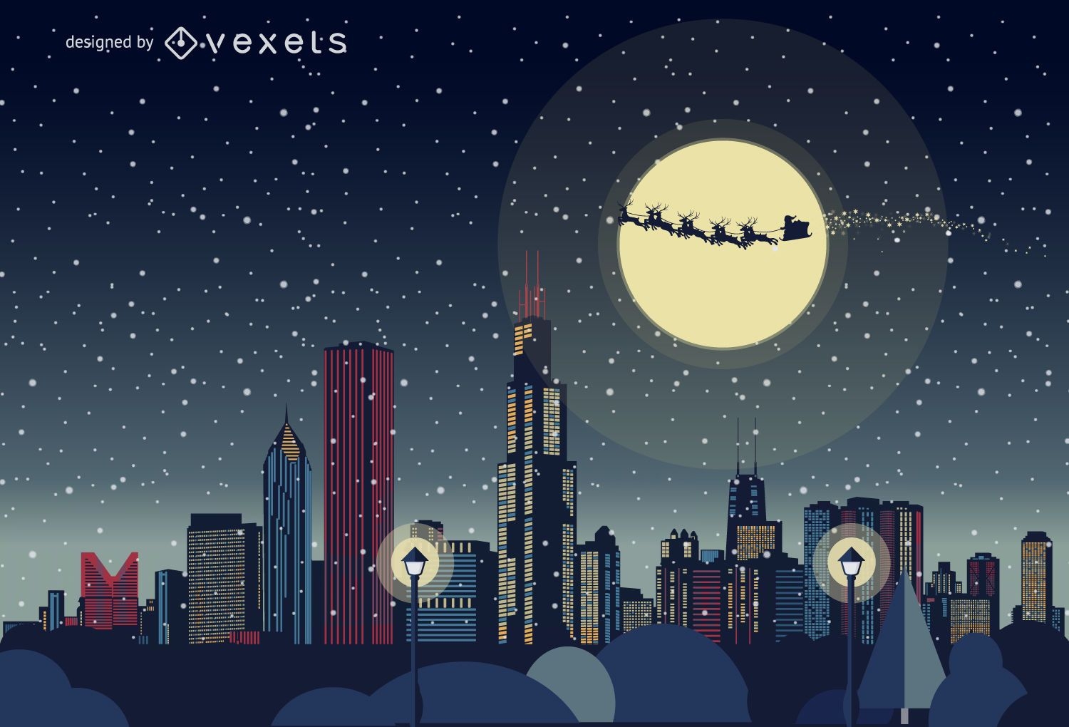
Chicago Christmas skyline
Choose a folder
All favorites
Create new
Save
Chicago Christmas skyline
Premium
Coke round icon PNG Design
Choose a folder
All favorites
Create new
Save
Coke round icon PNG Design
Stars usa print ribbon PNG Design
Choose a folder
All favorites
Create new
Save
Stars usa print ribbon PNG Design
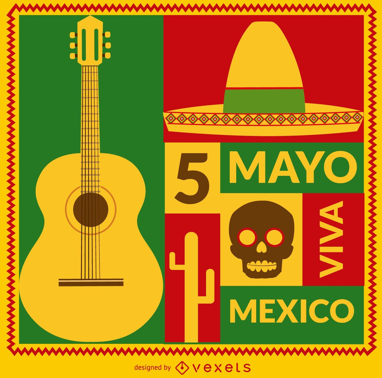
Viva Mexico 5 de mayo card
Choose a folder
All favorites
Create new
Save
Viva Mexico 5 de mayo card
AI generated, curated by our designers
for Merch
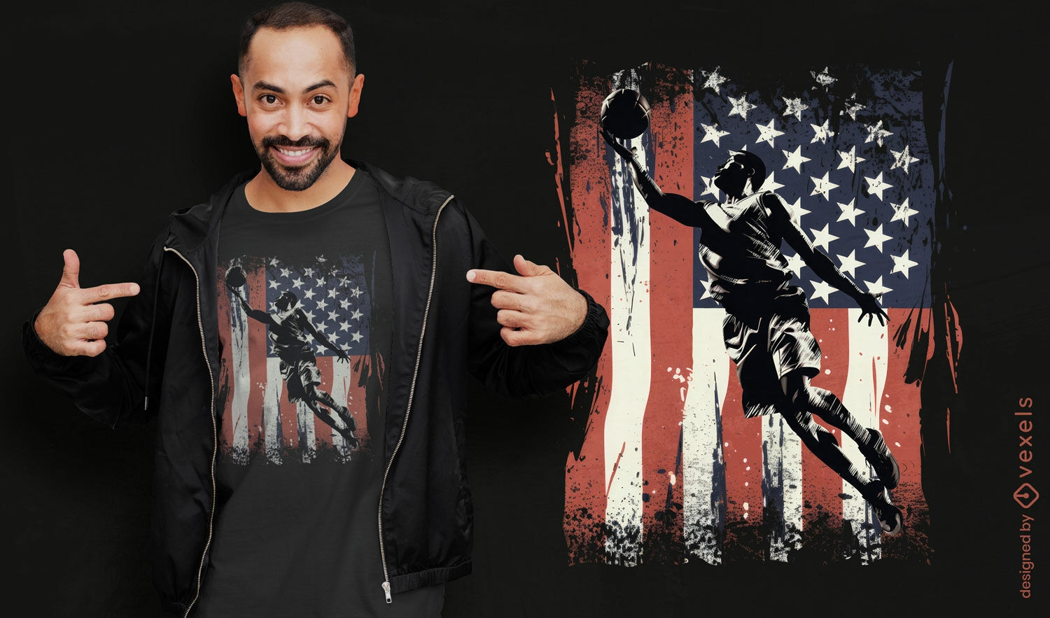
Basketball soccer and American flag t-shirt design
Choose a folder
All favorites
Create new
Save
Basketball soccer and American flag t-shirt design
Print ready
for Merch
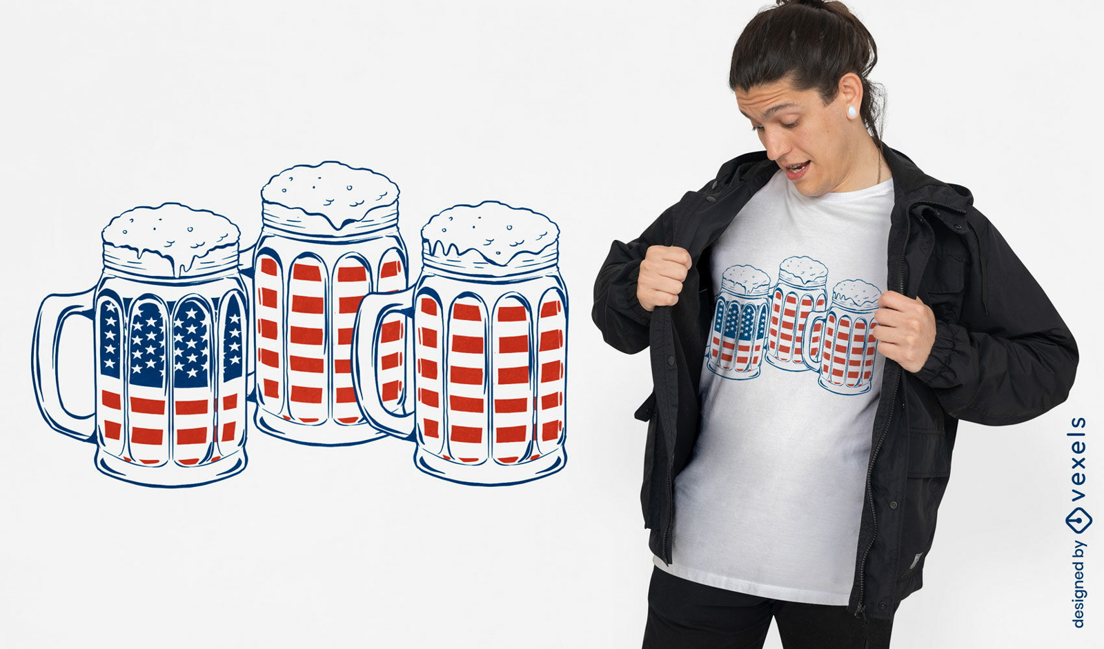
Mugs with beer and american flags t-shirt design
Choose a folder
All favorites
Create new
Save
Mugs with beer and american flags t-shirt design
Premium
Grand canyon national park hand-drawn PNG Design
Choose a folder
All favorites
Create new
Save
Grand canyon national park hand-drawn PNG Design
Editable text
Print ready
for Merch
Vintage USA quote t-shirt design
Choose a folder
All favorites
Create new
Save
Vintage USA quote t-shirt design
Print ready
for Merch
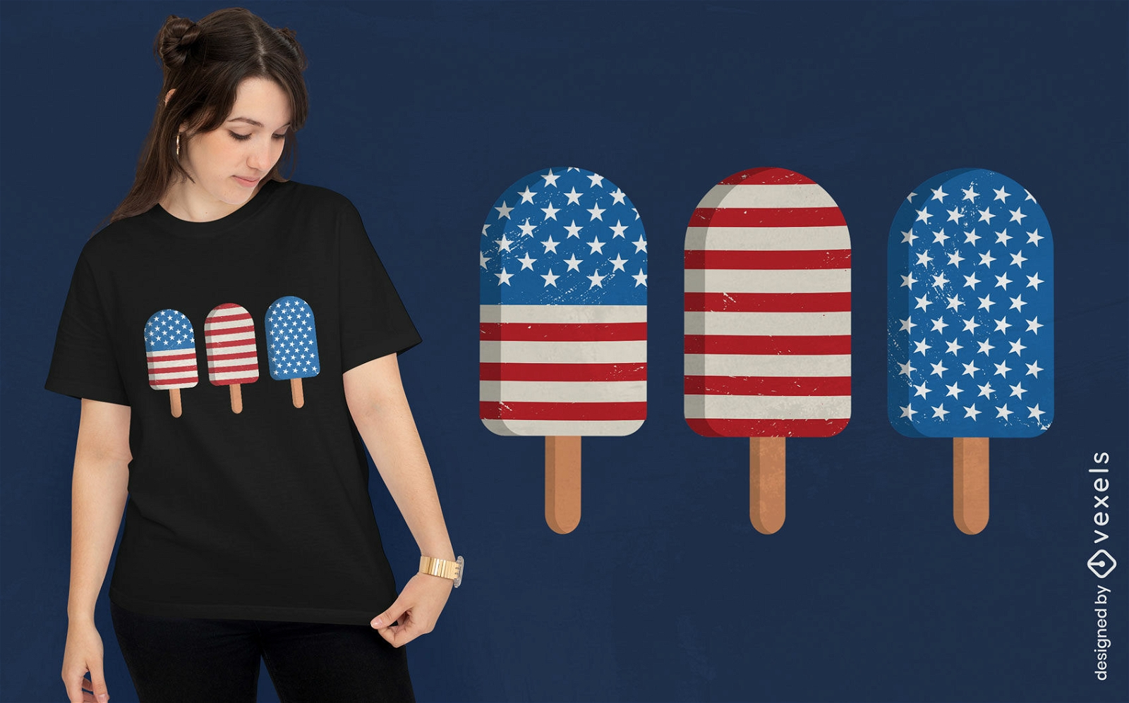
American popsicles t-shirt design
Choose a folder
All favorites
Create new
Save
American popsicles t-shirt design
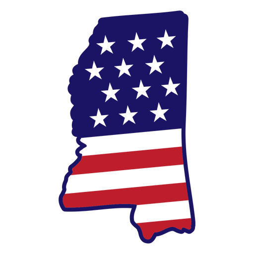
Mississippi map color stroke PNG Design
Choose a folder
All favorites
Create new
Save
Mississippi map color stroke PNG Design
American eagle flying PNG Design
Choose a folder
All favorites
Create new
Save
American eagle flying PNG Design
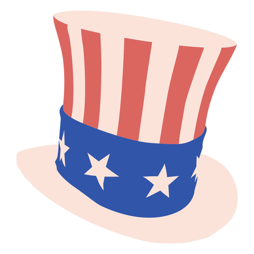
Top hat american flat PNG Design
Choose a folder
All favorites
Create new
Save
Top hat american flat PNG Design
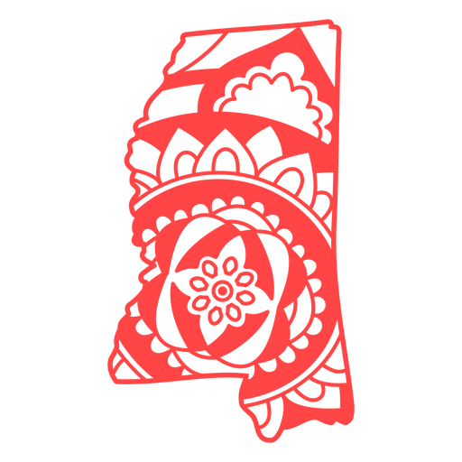
Mississippi state mandala map stroke PNG Design
Choose a folder
All favorites
Create new
Save
Mississippi state mandala map stroke PNG Design
United we stand flat badge PNG Design
Choose a folder
All favorites
Create new
Save
United we stand flat badge PNG Design
Liberty bell america high contrast PNG Design
Choose a folder
All favorites
Create new
Save
Liberty bell america high contrast PNG Design
Print ready
for Merch
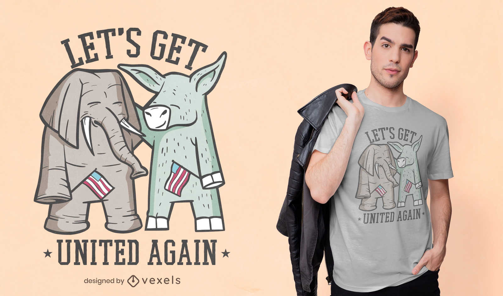
Elephant and donkey t-shirt design
Choose a folder
All favorites
Create new
Save
Elephant and donkey t-shirt design
Boost Your Business
With The Leading Graphic Platform For Merch.
SEE PLANS
Next
of 69
prev page
next page