Design Library
New Merch Designs
T-Shirts
Vectors
Trending Merch Designs
PNGs & SVGs
Mockups
T-Shirt PSD Templates
Explore Designs
KDP Designs
Posters
Mugs
Phone Cases
Tote Bags
Pillows
Design Tools
Merch Designer
New!
Mockup Generator
AI Design Generator
Image Vectorizer
Quote Generator
T-Shirt Maker (Old)
Resources
Merch Digest
Blog
Help Center
Learn About Merch
Feedback
Corporate Solutions
Enterprise
API Access
Design Studio
Bulk Design Production
Pricing
Loading...
Sign Up
Login
All
estados
Design Library
New Merch Designs
T-Shirts
Vectors
Trending Merch Designs
PNGs & SVGs
Mockups
T-Shirt PSD Templates
Explore Designs
KDP Designs
Posters
Mugs
Phone Cases
Tote Bags
Pillows
Design Tools
Merch Designer
New!
Mockup Generator
AI Design Generator
Image Vectorizer
Quote Generator
T-Shirt Maker (Old)
Resources
Merch Digest
Blog
Help Center
Learn About Merch
Feedback
Corporate Solutions
Enterprise
API Access
Design Studio
Bulk Design Production
PLANS
All
estados
3409 estados designs graphics for t-shirt and print on demand merch
Download estados t-shirt designs and other merch graphics like book covers, phone cases, tote bags and more.
Sort by
Most relevant
Sponsored results by
Get 15% off with code: VEXELS15
Show more
Premium
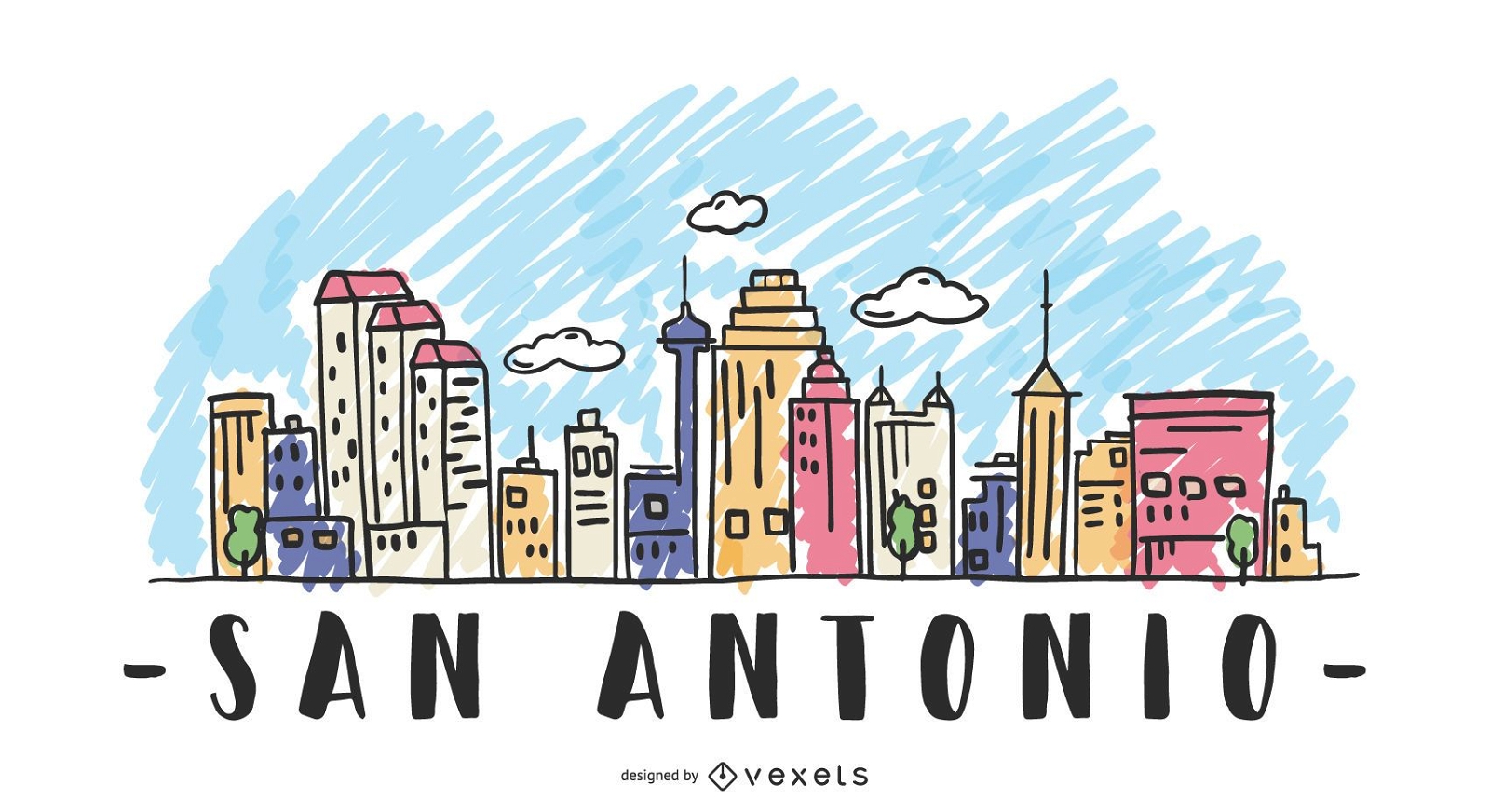
San Antonio USA Skyline Design
Choose a folder
All favorites
Create new
Save
San Antonio USA Skyline Design
Premium
Miami City Badge PNG Design
Choose a folder
All favorites
Create new
Save
Miami City Badge PNG Design
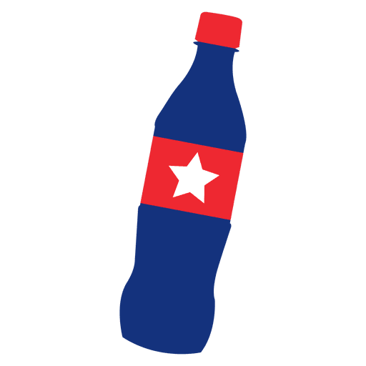
America flag print coke PNG Design
Choose a folder
All favorites
Create new
Save
America flag print coke PNG Design
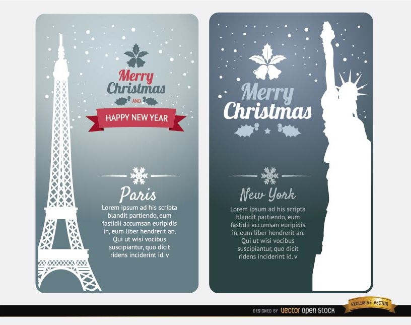
Merry Christmas cards Paris New York
Choose a folder
All favorites
Create new
Save
Merry Christmas cards Paris New York
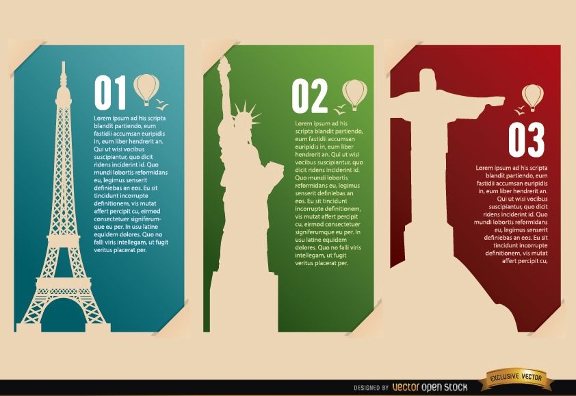
France USA Brazil Landmarks cards
Choose a folder
All favorites
Create new
Save
France USA Brazil Landmarks cards
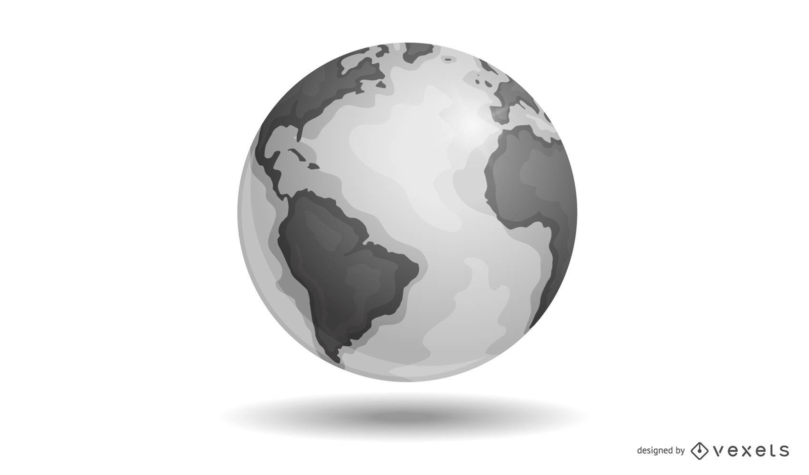
Vector Earth
Choose a folder
All favorites
Create new
Save
Vector Earth
Print ready
for Merch
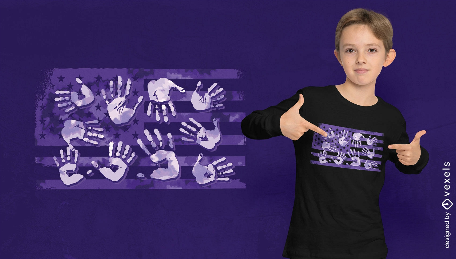
Handprints over american flag t-shirt design
Choose a folder
All favorites
Create new
Save
Handprints over american flag t-shirt design
Print ready
for Merch
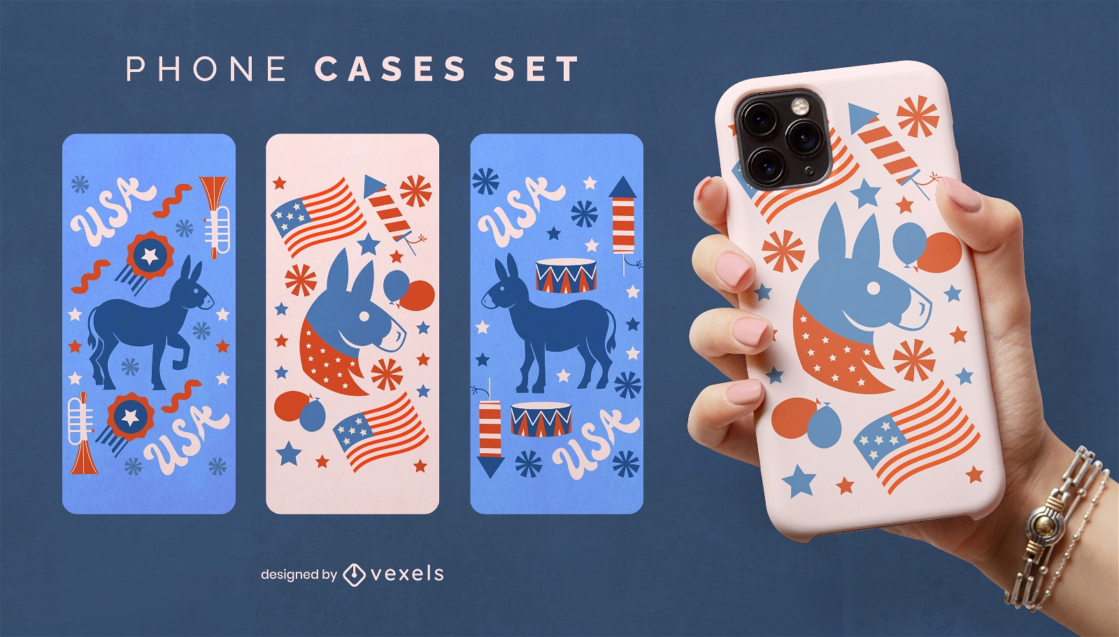
American democrat phone case set
Choose a folder
All favorites
Create new
Save
American democrat phone case set
Editable text
Print ready
for Merch
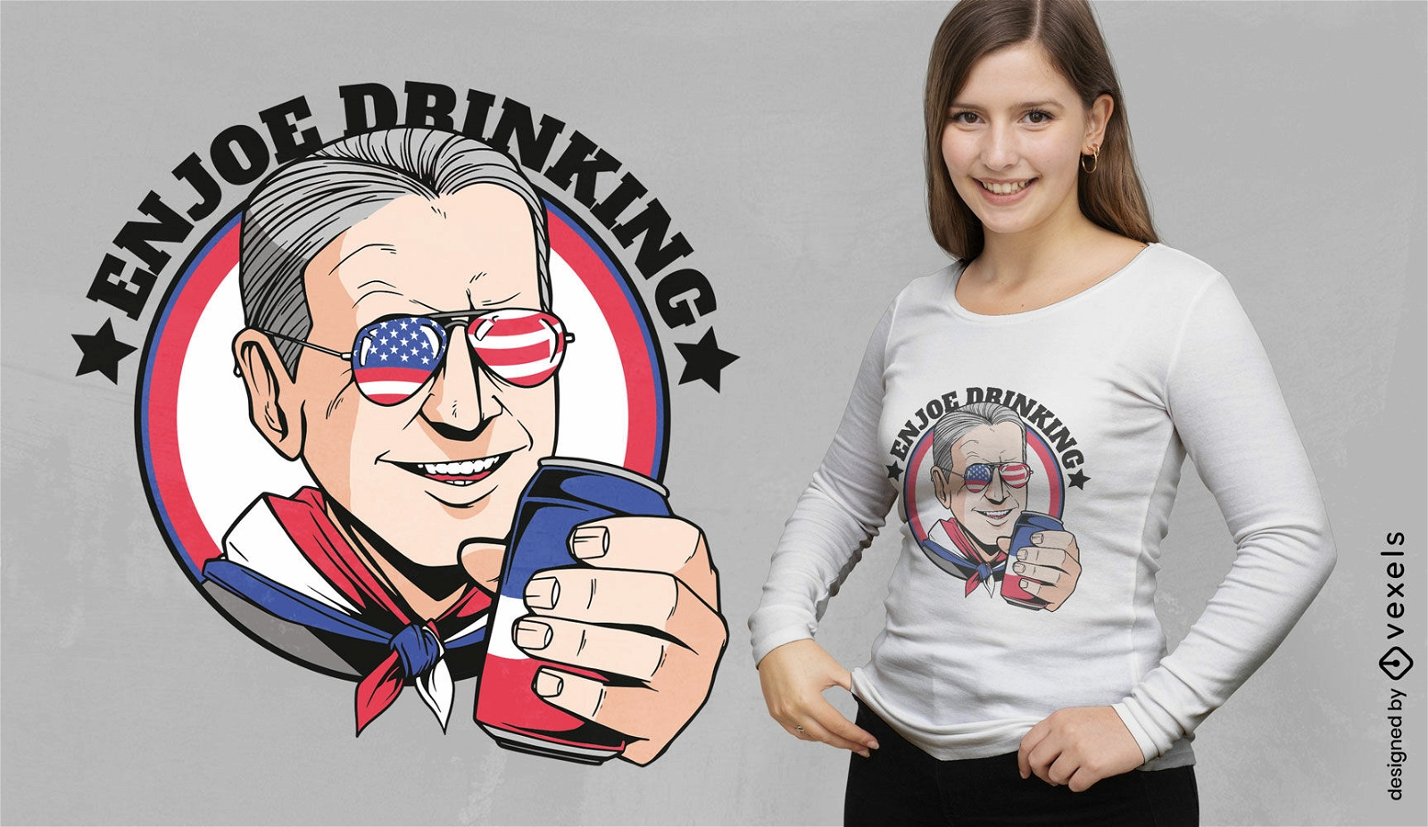
American man with beer t-shirt design
Choose a folder
All favorites
Create new
Save
American man with beer t-shirt design
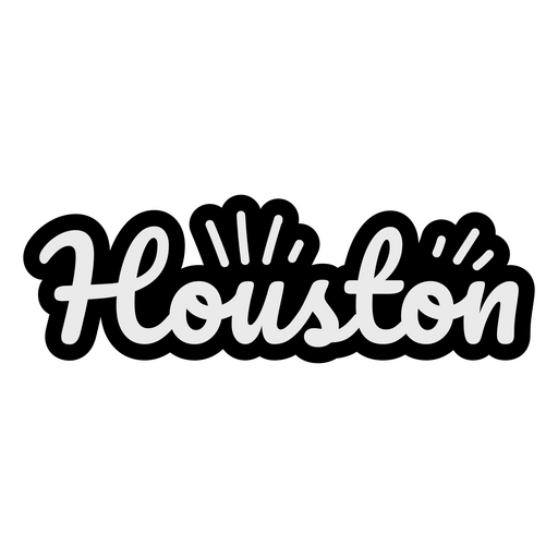
Houston Cursive Lettering PNG Design
Choose a folder
All favorites
Create new
Save
Houston Cursive Lettering PNG Design
Patriot american flag color stroke badge PNG Design
Choose a folder
All favorites
Create new
Save
Patriot american flag color stroke badge PNG Design
Print ready
for Merch
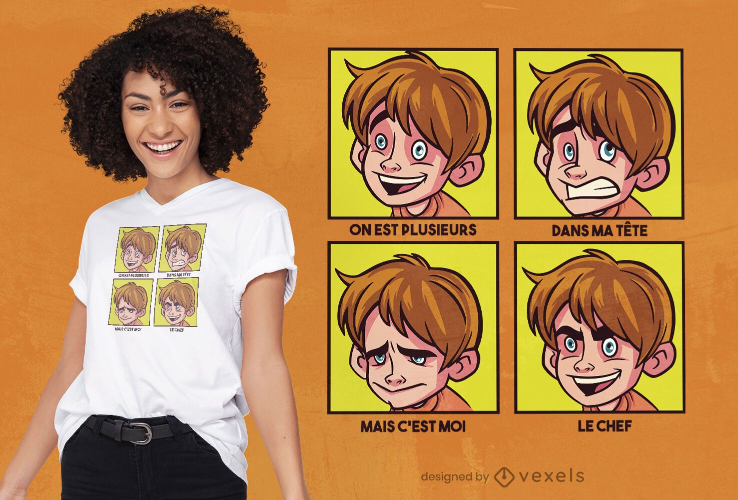
Boy cartoon moodboard t-shirt design
Choose a folder
All favorites
Create new
Save
Boy cartoon moodboard t-shirt design
Premium
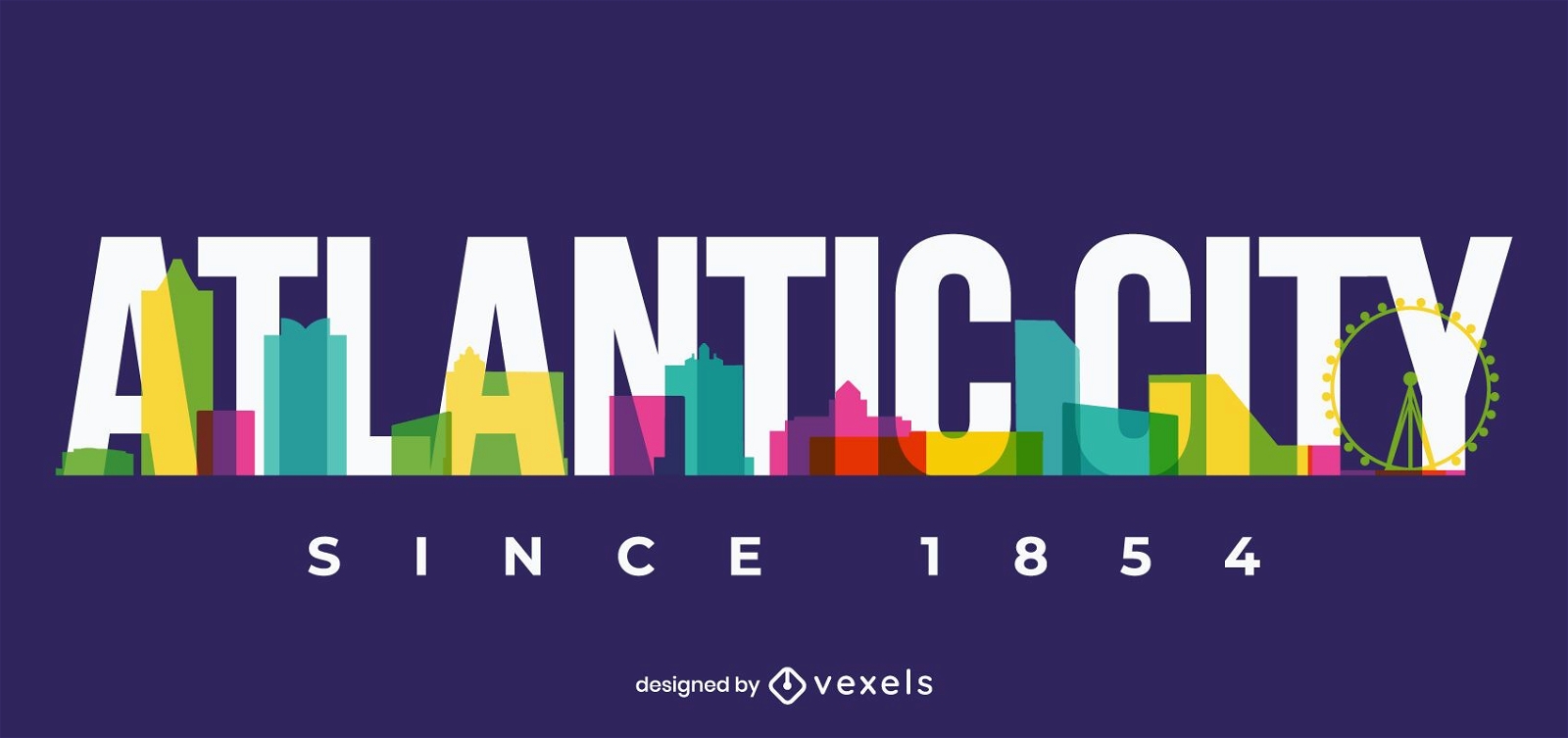
Atlantic city skyline design
Choose a folder
All favorites
Create new
Save
Atlantic city skyline design
Flying eagle american flag hand drawn PNG Design
Choose a folder
All favorites
Create new
Save
Flying eagle american flag hand drawn PNG Design
Premium
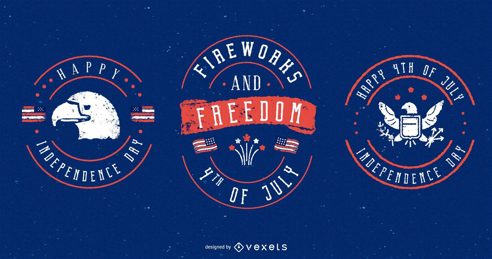
4th of july badges set
Choose a folder
All favorites
Create new
Save
4th of july badges set
Premium
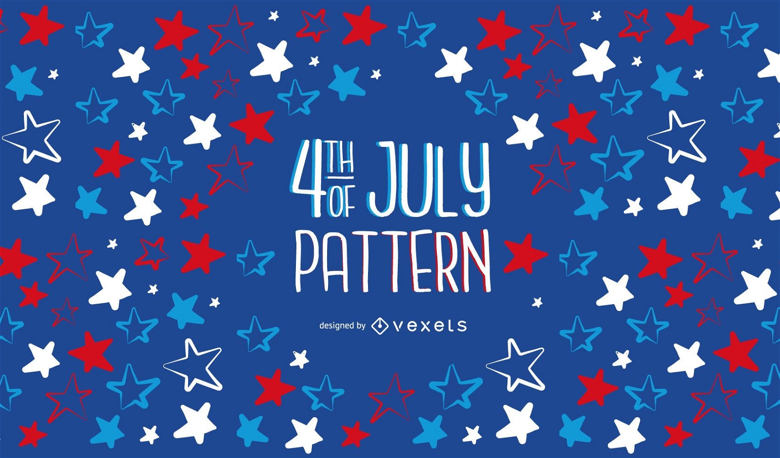
4th of Jully Pattern Design
Choose a folder
All favorites
Create new
Save
4th of Jully Pattern Design
Print ready
for Merch
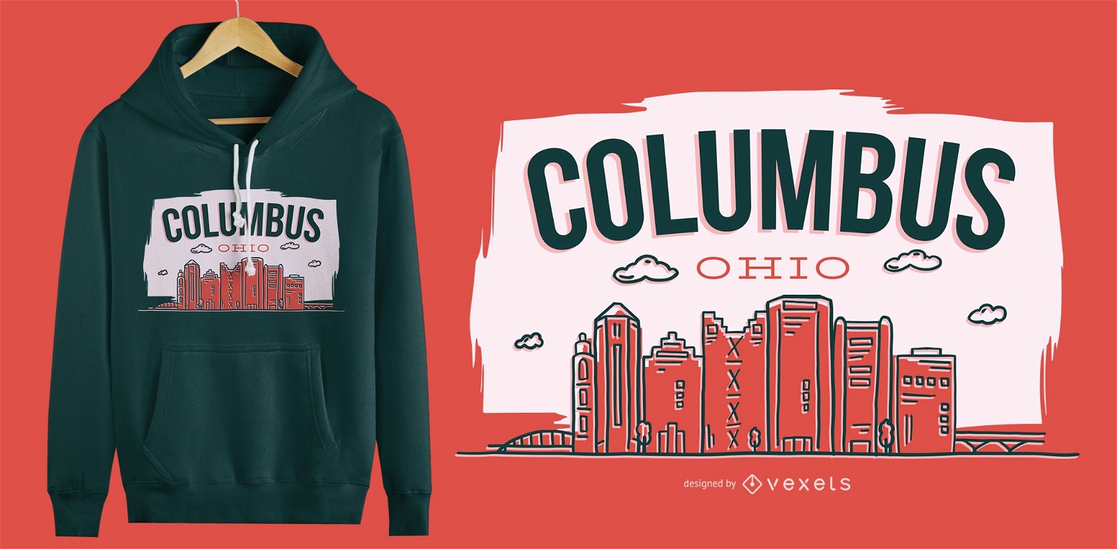
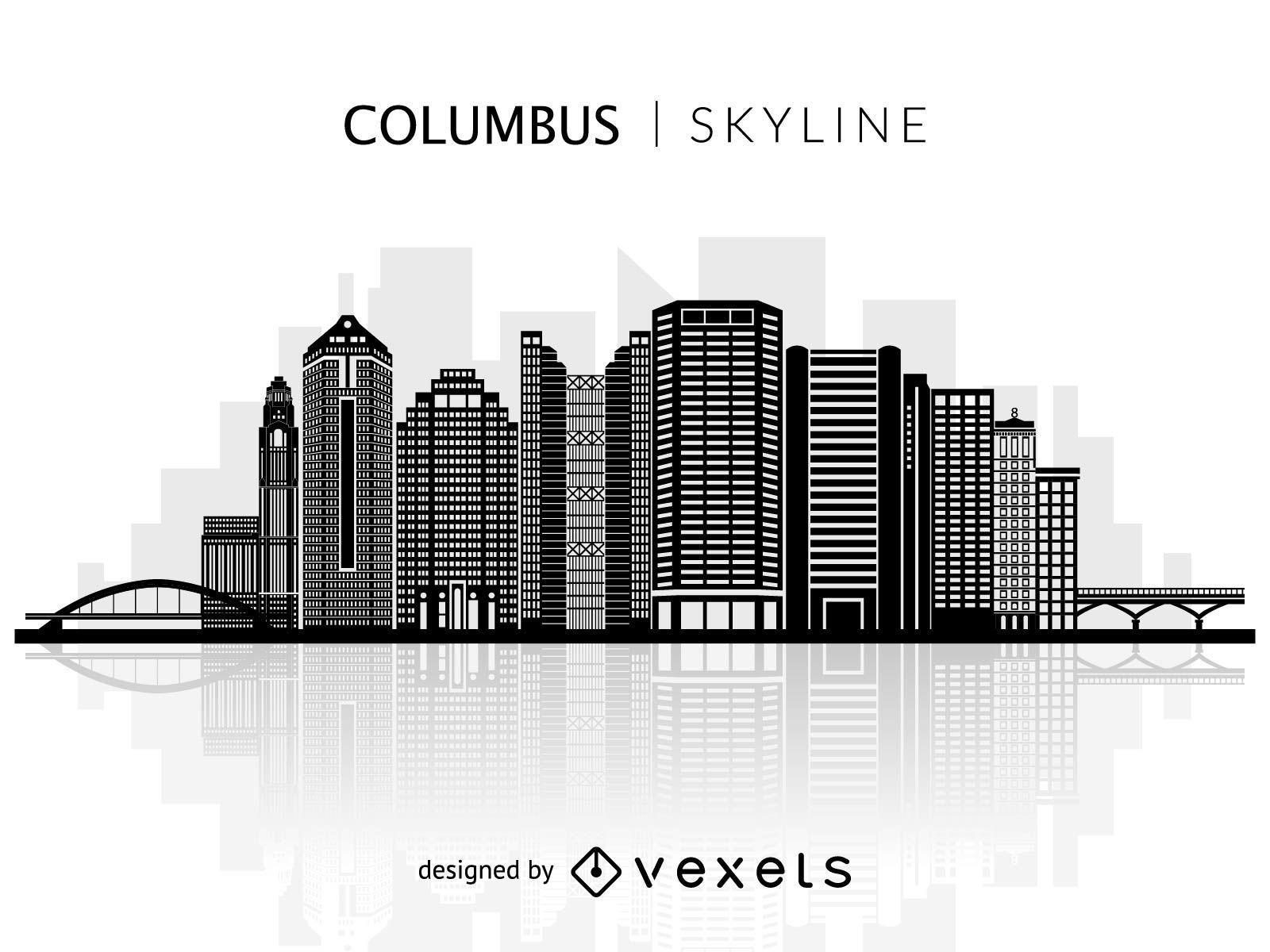
Columbus Ohio T-Shirt Design
Choose a folder
All favorites
Create new
Save
Columbus Ohio T-Shirt Design
Premium
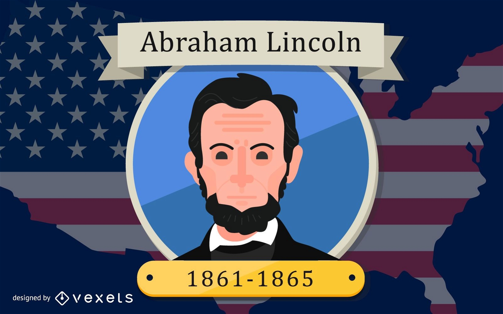
Abraham Lincoln design
Choose a folder
All favorites
Create new
Save
Abraham Lincoln design
Premium
Washington skyline sticker PNG Design
Choose a folder
All favorites
Create new
Save
Washington skyline sticker PNG Design
Premium
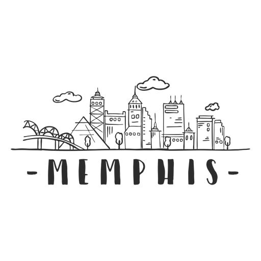
Memphis bridge spire pyramid sky scraper skyline sticker PNG Design
Choose a folder
All favorites
Create new
Save
Memphis bridge spire pyramid sky scraper skyline sticker PNG Design
Silhouette of Columbine skyline
Choose a folder
All favorites
Create new
Save
Silhouette of Columbine skyline
Premium
Flag stamp post PNG Design
Choose a folder
All favorites
Create new
Save
Flag stamp post PNG Design
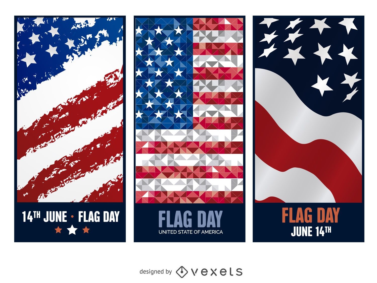
3 Flag Day banners
Choose a folder
All favorites
Create new
Save
3 Flag Day banners
Blue and gold vector background
Choose a folder
All favorites
Create new
Save
Blue and gold vector background
Premium
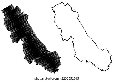
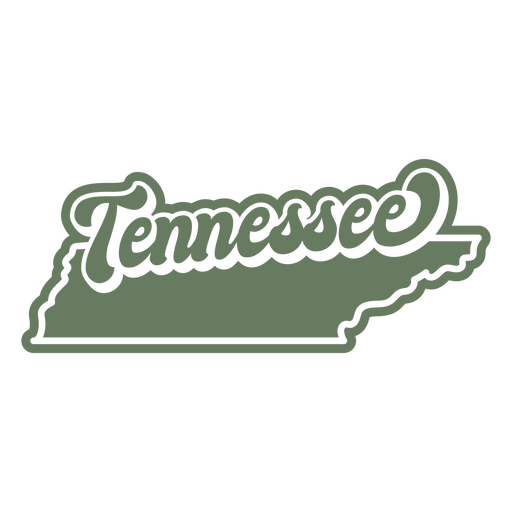
The state of tennessee is shown PNG Design
Choose a folder
All favorites
Create new
Save
The state of tennessee is shown PNG Design
Editable text
Print ready
for Merch
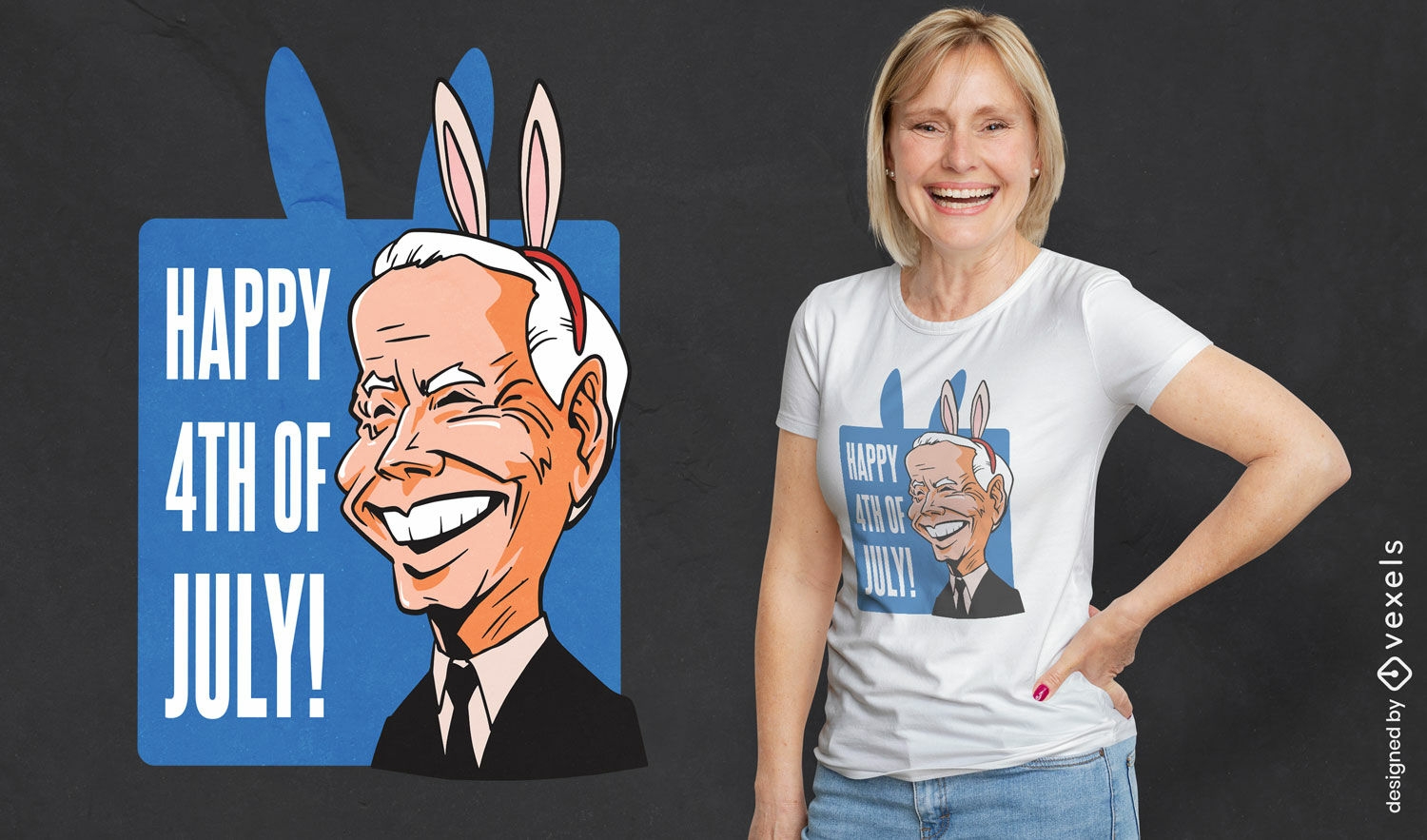
4th of July parody cartoon t-shirt design
Choose a folder
All favorites
Create new
Save
4th of July parody cartoon t-shirt design
Premium
USA flag-inspired pennant PNG Design
Choose a folder
All favorites
Create new
Save
USA flag-inspired pennant PNG Design
Premium
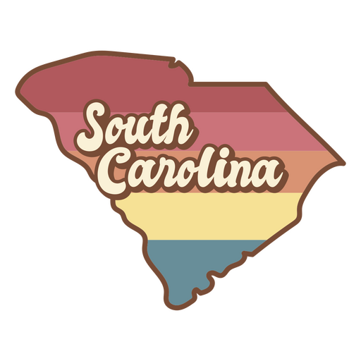
The state of south carolina in a rainbow color PNG Design
Choose a folder
All favorites
Create new
Save
The state of south carolina in a rainbow color PNG Design
Editable text
Print ready
for Merch
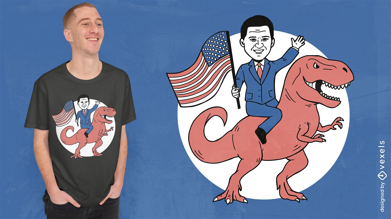
Politician riding dinosaur t-shirt design
Choose a folder
All favorites
Create new
Save
Politician riding dinosaur t-shirt design
Editable text
Print ready
for Merch
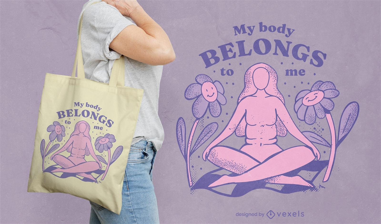
My body belongs to me abortion tote bag design
Choose a folder
All favorites
Create new
Save
My body belongs to me abortion tote bag design
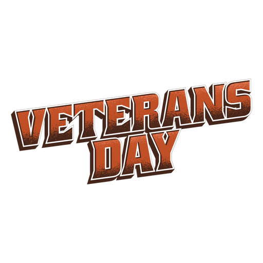
Veterans day army quote PNG Design
Choose a folder
All favorites
Create new
Save
Veterans day army quote PNG Design
Print ready
for Merch
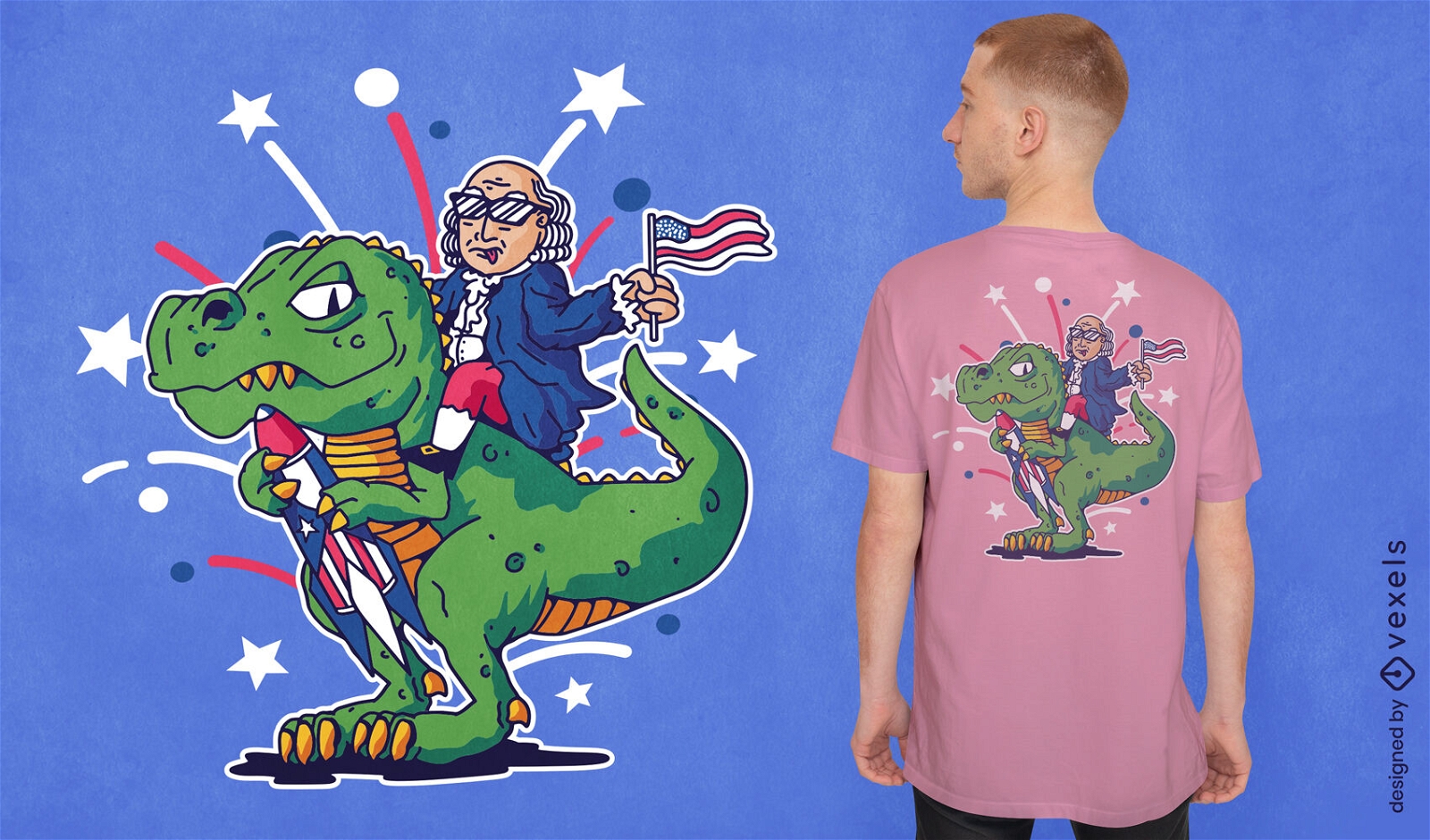
Benjamin Franklin riding t-rex t-shirt design
Choose a folder
All favorites
Create new
Save
Benjamin Franklin riding t-rex t-shirt design
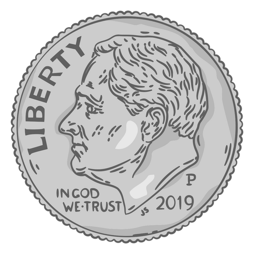
Dime illustration head PNG Design
Choose a folder
All favorites
Create new
Save
Dime illustration head PNG Design
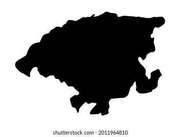
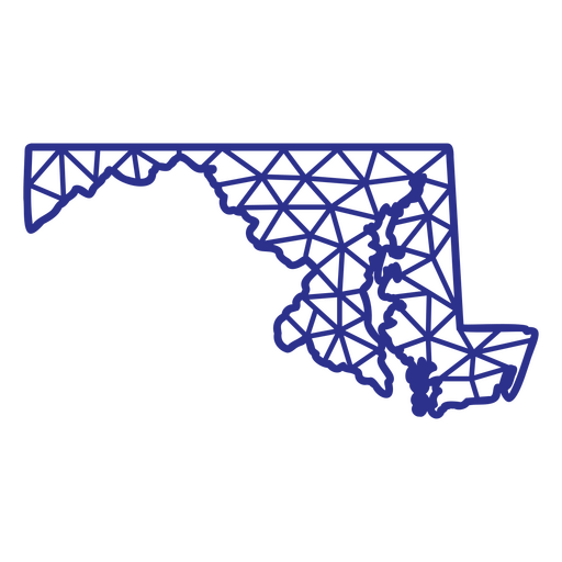
Maryland map polygonal PNG Design
Choose a folder
All favorites
Create new
Save
Maryland map polygonal PNG Design
Print ready
for Merch
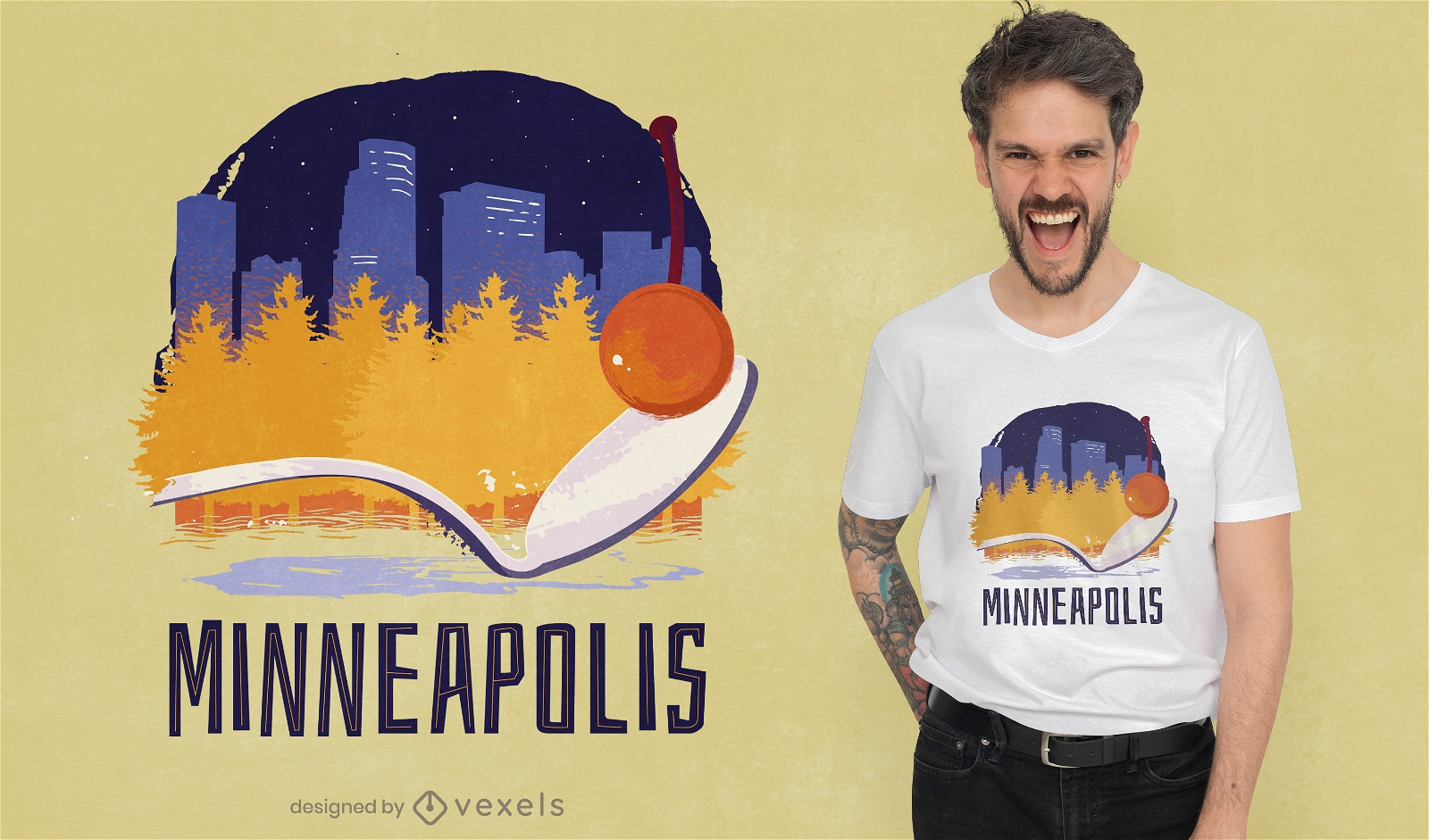
Minneapolis skyline t-shirt design
Choose a folder
All favorites
Create new
Save
Minneapolis skyline t-shirt design
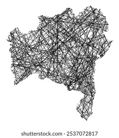
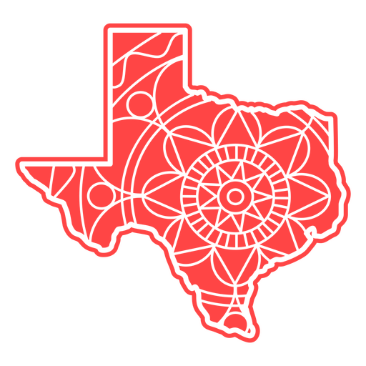
Texas Mandala Map PNG Design
Choose a folder
All favorites
Create new
Save
Texas Mandala Map PNG Design
Kindle Direct
Editable text
Premium
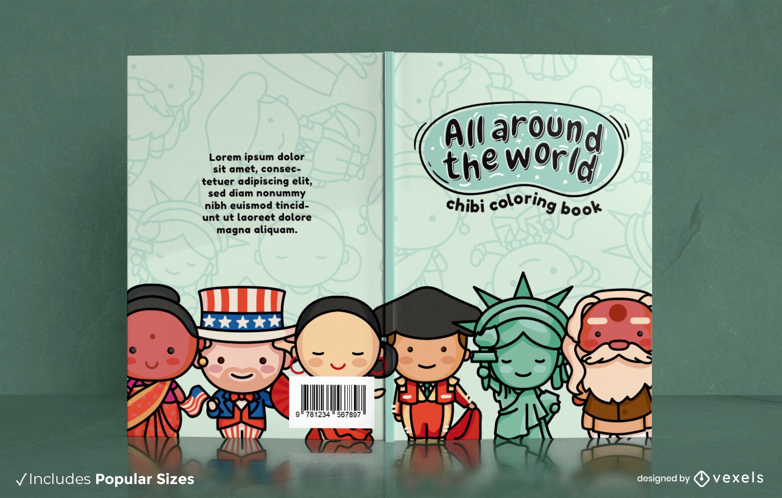
Chibi world culture book cover design
Choose a folder
All favorites
Create new
Save
Chibi world culture book cover design
Premium
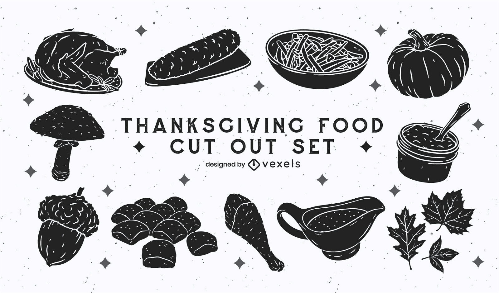
Thanksgiving holiday food cut out set
Choose a folder
All favorites
Create new
Save
Thanksgiving holiday food cut out set
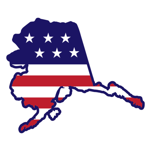
Alaska map color stroke PNG Design
Choose a folder
All favorites
Create new
Save
Alaska map color stroke PNG Design
Made in america badge PNG Design
Choose a folder
All favorites
Create new
Save
Made in america badge PNG Design
American eagle flag badge cut out PNG Design
Choose a folder
All favorites
Create new
Save
American eagle flag badge cut out PNG Design
American liberty bell badge filled stroke PNG Design
Choose a folder
All favorites
Create new
Save
American liberty bell badge filled stroke PNG Design
Print ready
for Merch
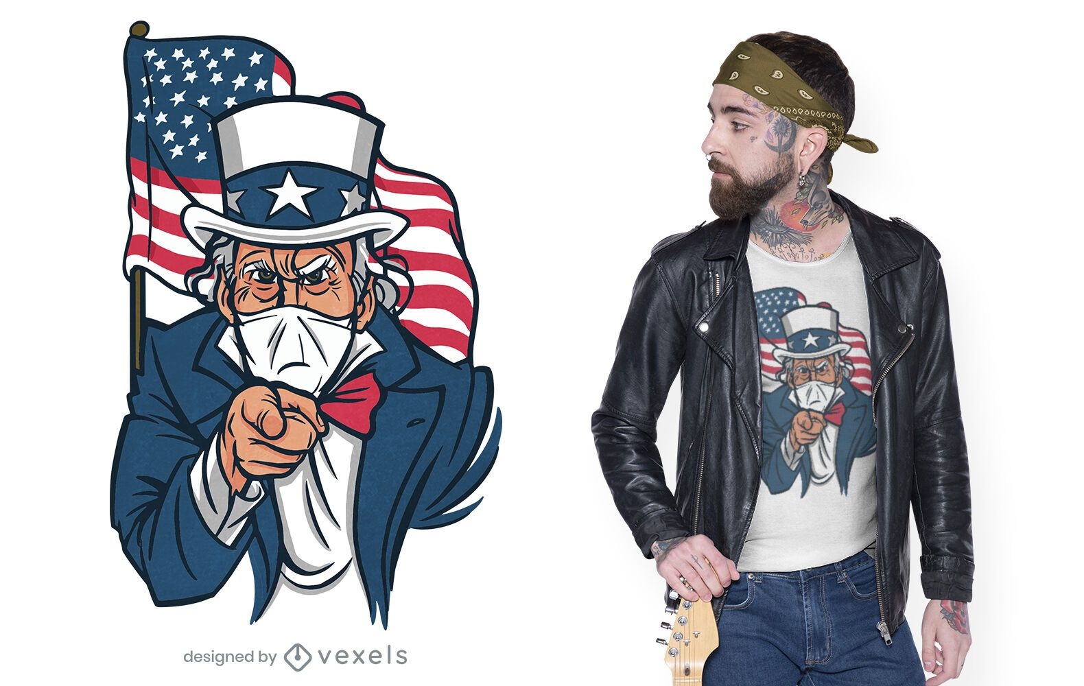
Uncle sam face mask t-shirt design
Choose a folder
All favorites
Create new
Save
Uncle sam face mask t-shirt design
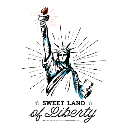
Sweet land of liberty quote color stroke PNG Design
Choose a folder
All favorites
Create new
Save
Sweet land of liberty quote color stroke PNG Design
Soft drink cup black PNG Design
Choose a folder
All favorites
Create new
Save
Soft drink cup black PNG Design
Blue pennant PNG Design
Choose a folder
All favorites
Create new
Save
Blue pennant PNG Design
Ameowica cat design PNG Design
Choose a folder
All favorites
Create new
Save
Ameowica cat design PNG Design
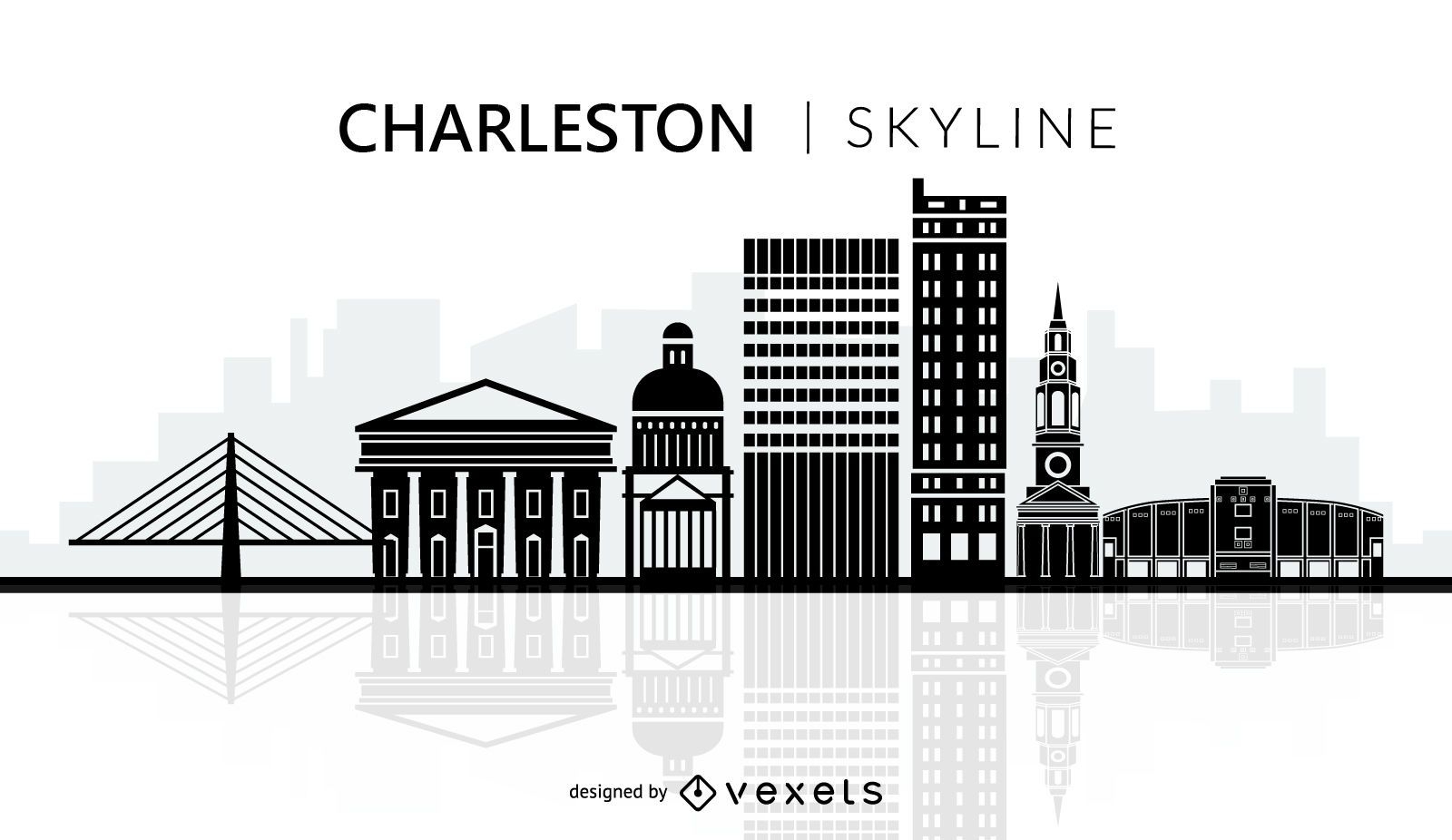
Charleston city skyline silhouette
Choose a folder
All favorites
Create new
Save
Charleston city skyline silhouette
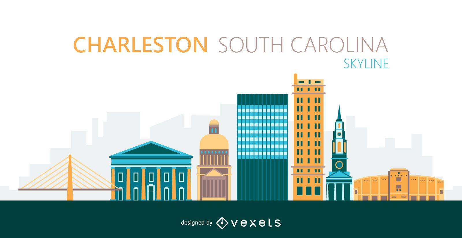
Charleston city skyline illustration
Choose a folder
All favorites
Create new
Save
Charleston city skyline illustration
New York Christmas skyline
Choose a folder
All favorites
Create new
Save
New York Christmas skyline
Boost Your Business
With The Leading Graphic Platform For Merch.
SEE PLANS
Next
of 69
prev page
next page