Design Library
New Merch Designs
T-Shirts
Vectors
Trending Merch Designs
PNGs & SVGs
Mockups
T-Shirt PSD Templates
Explore Designs
KDP Designs
Posters
Mugs
Phone Cases
Tote Bags
Pillows
Design Tools
Merch Designer
New!
Mockup Generator
AI Design Generator
Image Vectorizer
Quote Generator
T-Shirt Maker (Old)
Resources
Merch Digest
Blog
Help Center
Learn About Merch
Feedback
Corporate Solutions
Enterprise
API Access
Design Studio
Bulk Design Production
Pricing
Loading...
Sign Up
Login
All
estados
Design Library
New Merch Designs
T-Shirts
Vectors
Trending Merch Designs
PNGs & SVGs
Mockups
T-Shirt PSD Templates
Explore Designs
KDP Designs
Posters
Mugs
Phone Cases
Tote Bags
Pillows
Design Tools
Merch Designer
New!
Mockup Generator
AI Design Generator
Image Vectorizer
Quote Generator
T-Shirt Maker (Old)
Resources
Merch Digest
Blog
Help Center
Learn About Merch
Feedback
Corporate Solutions
Enterprise
API Access
Design Studio
Bulk Design Production
PLANS
All
estados
3409 estados designs graphics for t-shirt and print on demand merch
Download estados t-shirt designs and other merch graphics like book covers, phone cases, tote bags and more.
Sort by
Most relevant
Sponsored results by
Get 15% off with code: VEXELS15
Show more
Premium
Independence Day Lettering Design
Choose a folder
All favorites
Create new
Save
Independence Day Lettering Design
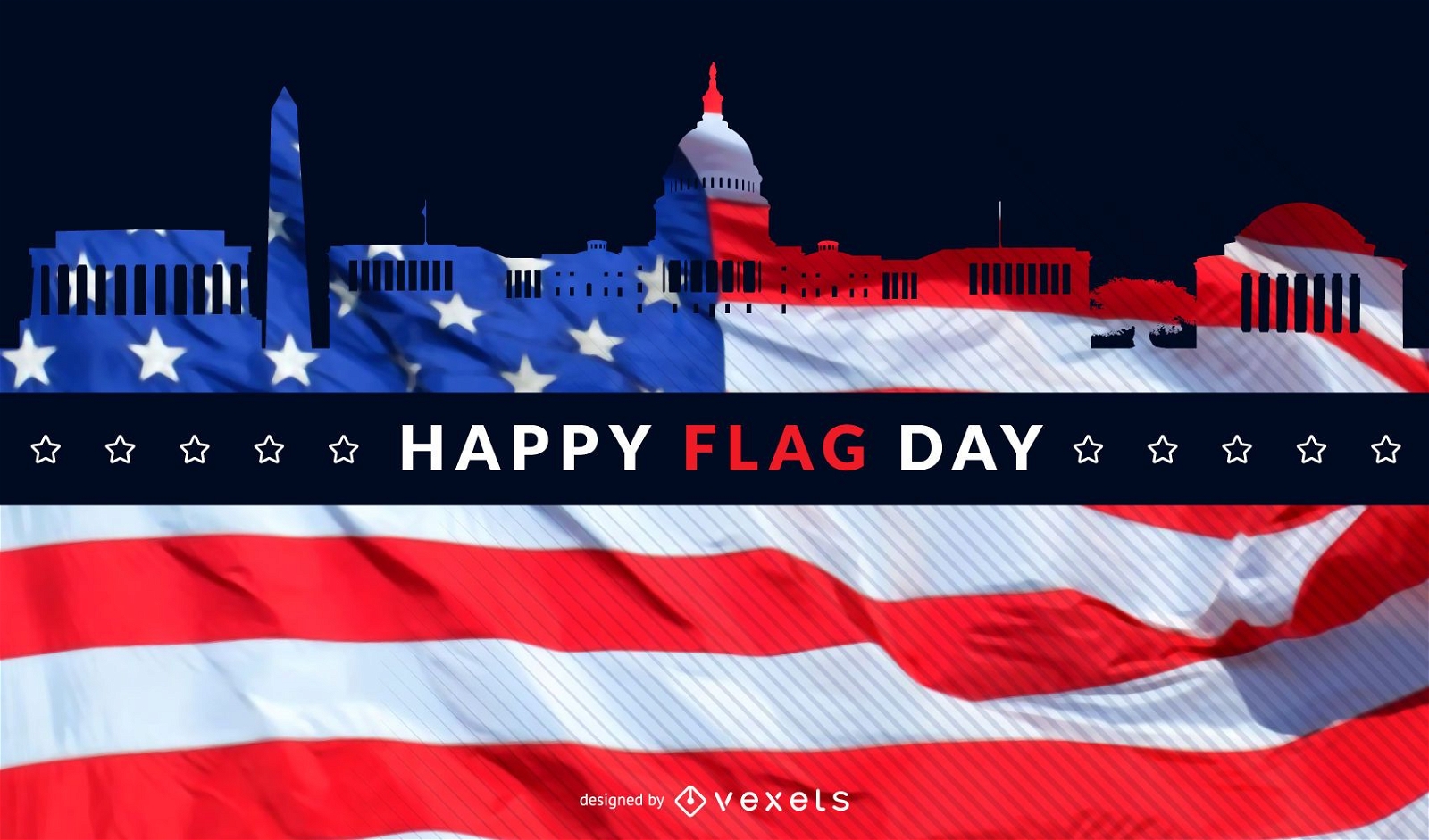
Premium
Washington flag day skyline
Choose a folder
All favorites
Create new
Save
Washington flag day skyline
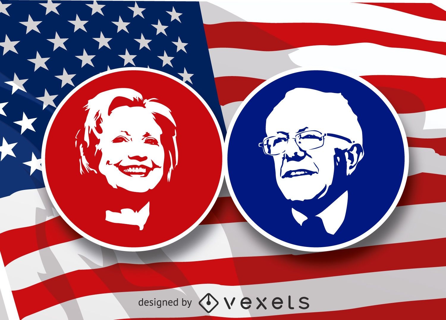
Election republican democrat badge
Choose a folder
All favorites
Create new
Save
Election republican democrat badge
Hilary Clinton and Bernie Sanders stencil
Choose a folder
All favorites
Create new
Save
Hilary Clinton and Bernie Sanders stencil
Print ready
for Merch
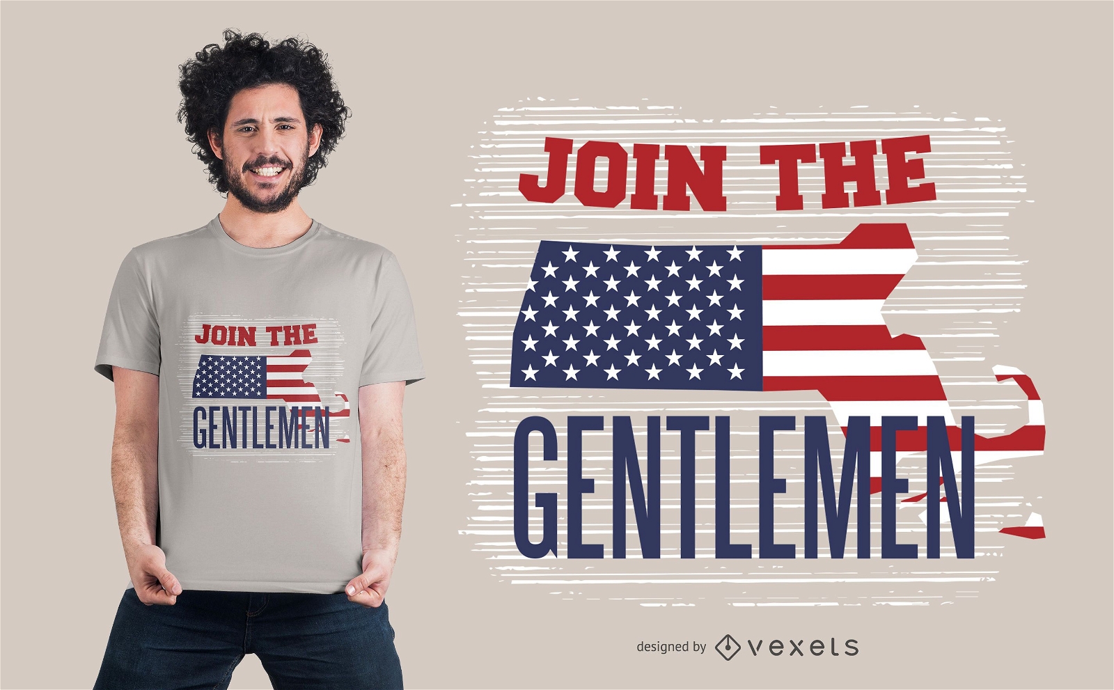
American gentlemen t-shirt design
Choose a folder
All favorites
Create new
Save
American gentlemen t-shirt design
American flag day background
Choose a folder
All favorites
Create new
Save
American flag day background
4th of July Independence Day Badge
Choose a folder
All favorites
Create new
Save
4th of July Independence Day Badge
PSD Mockup
Premium
4th of July mockup composition
Choose a folder
All favorites
Create new
Save
4th of July mockup composition
PSD Mockup
Premium
4th of July flag mockup composition
Choose a folder
All favorites
Create new
Save
4th of July flag mockup composition
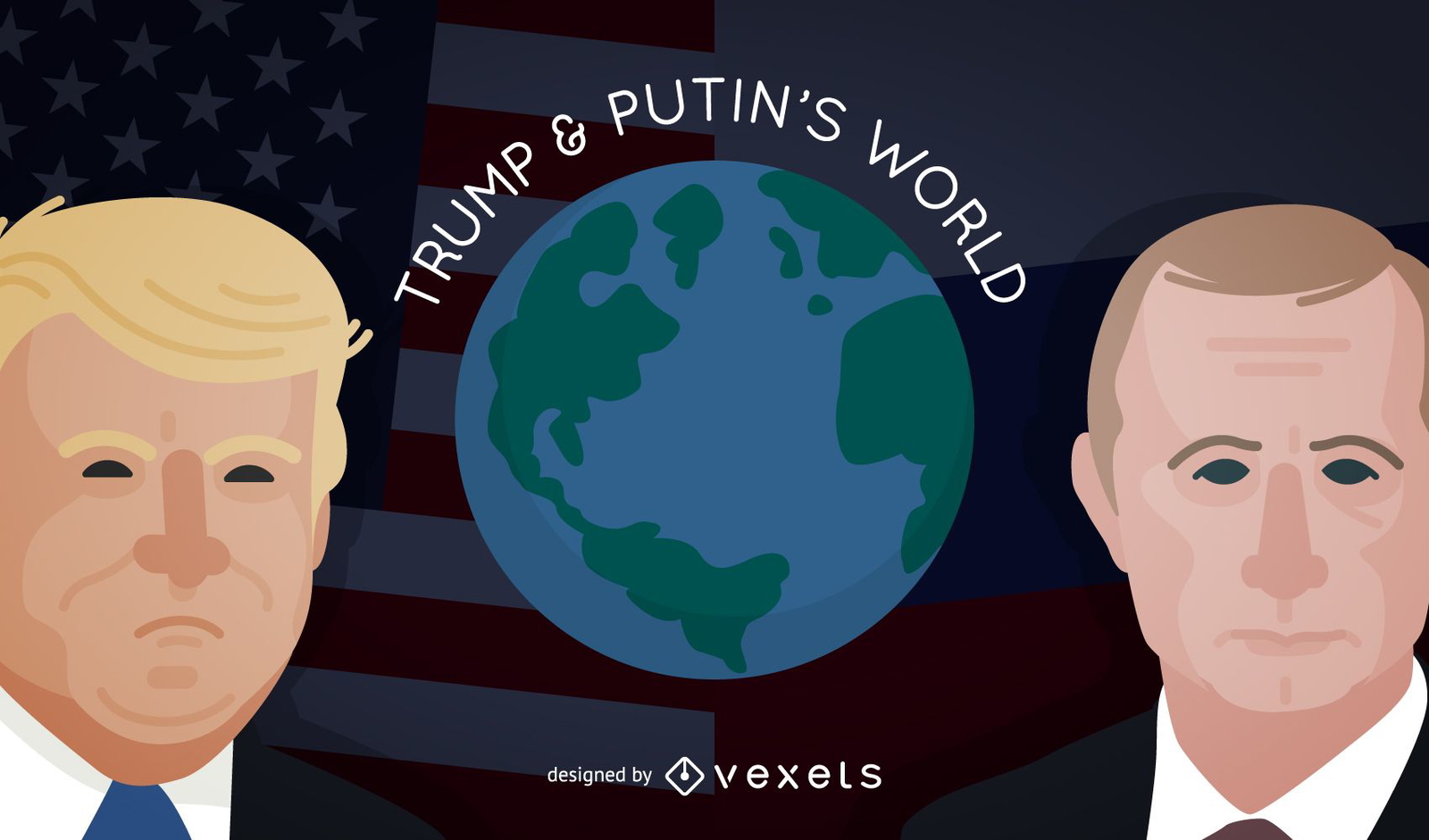
Trump and Putin on the world
Choose a folder
All favorites
Create new
Save
Trump and Putin on the world
Premium
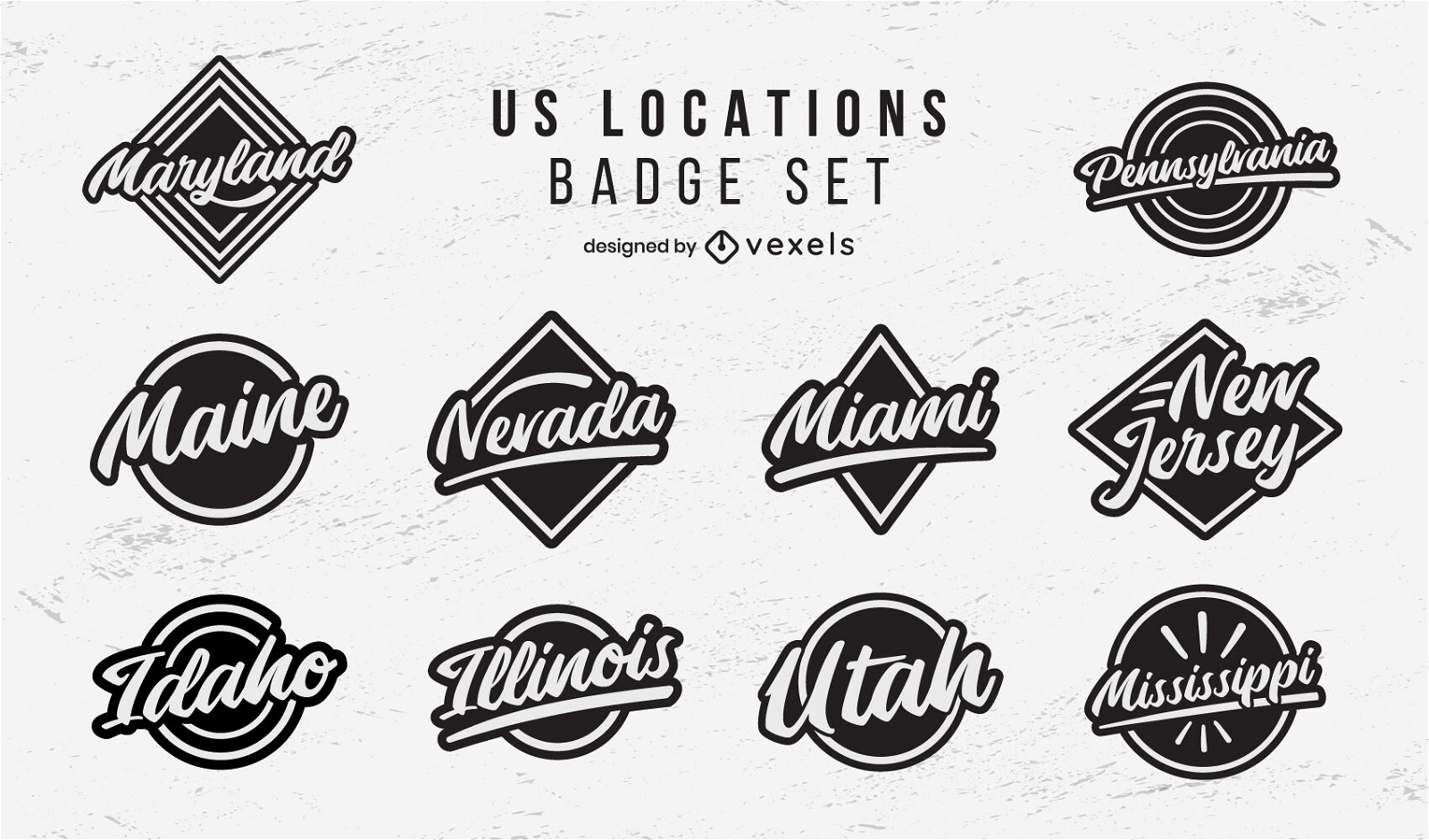
US locations badges lettering set
Choose a folder
All favorites
Create new
Save
US locations badges lettering set
Midterm elections badge design
Choose a folder
All favorites
Create new
Save
Midterm elections badge design
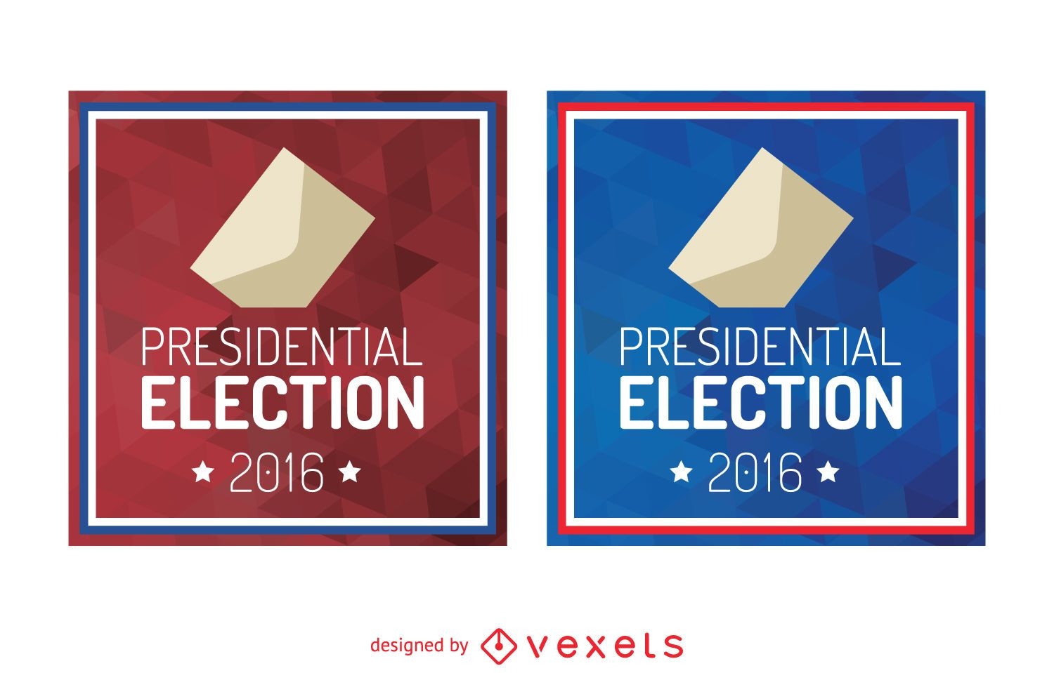
2016 presidential election sign
Choose a folder
All favorites
Create new
Save
2016 presidential election sign
Editable text
Print ready
for Merch
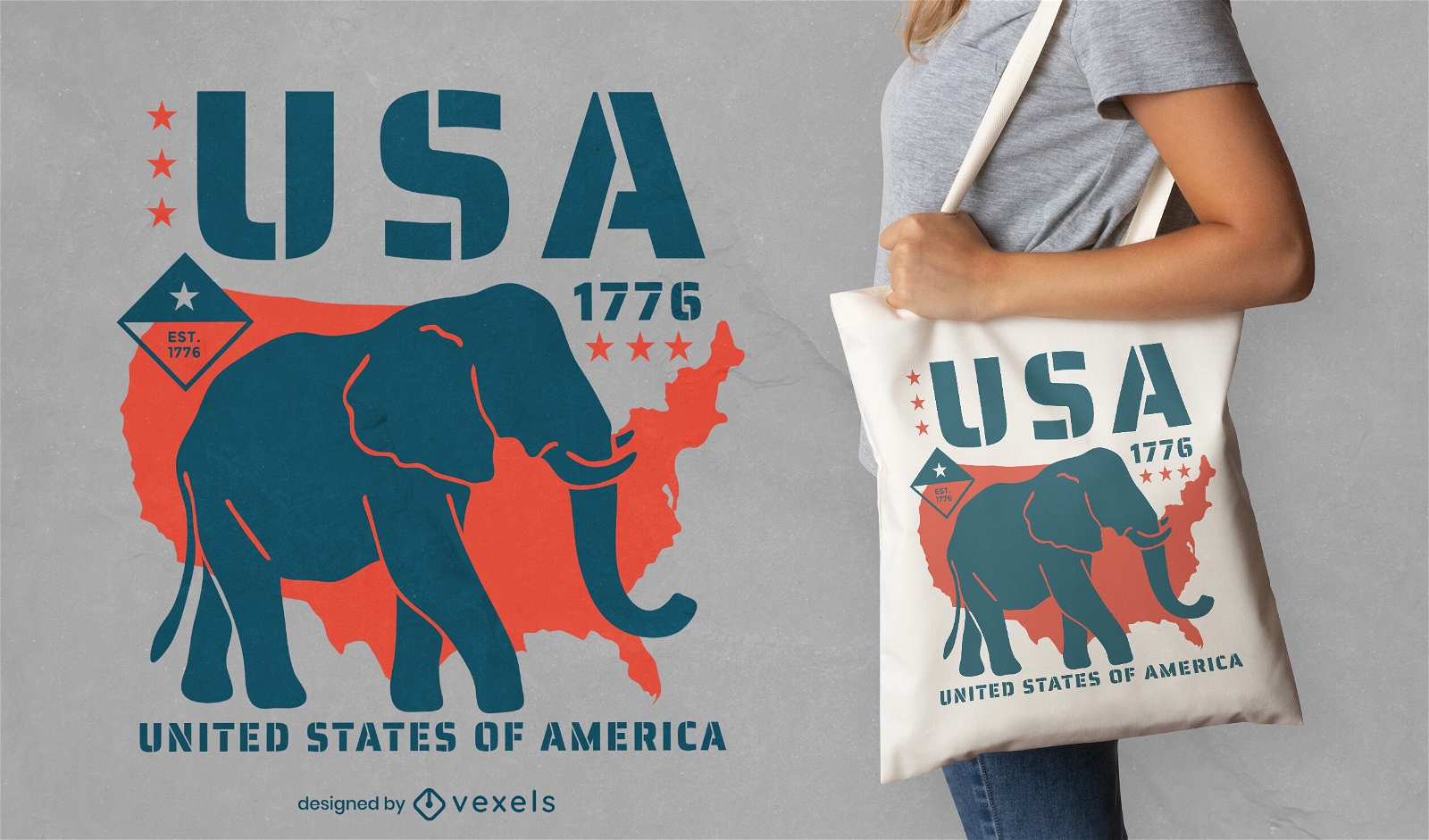
Republican elephant tote bag design
Choose a folder
All favorites
Create new
Save
Republican elephant tote bag design
AI generated, curated by our designers
for Merch
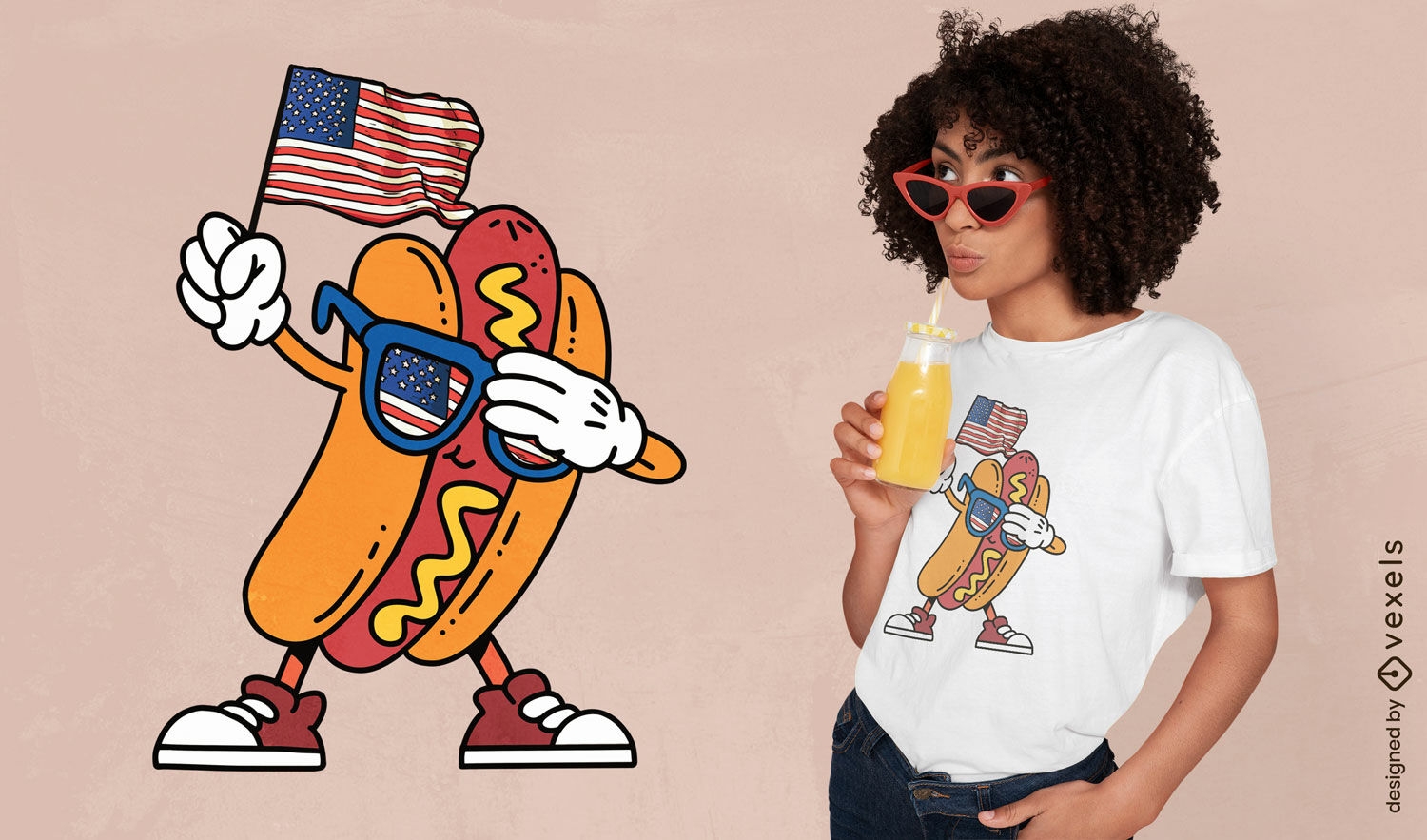
Patriotic hotdog t-shirt design
Choose a folder
All favorites
Create new
Save
Patriotic hotdog t-shirt design
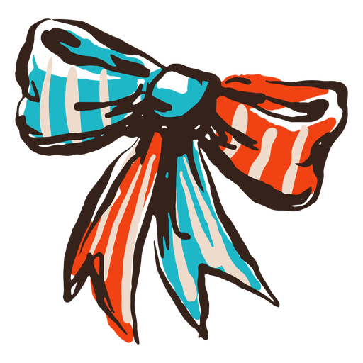
Blue and red american ribbon PNG Design
Choose a folder
All favorites
Create new
Save
Blue and red american ribbon PNG Design
Premium
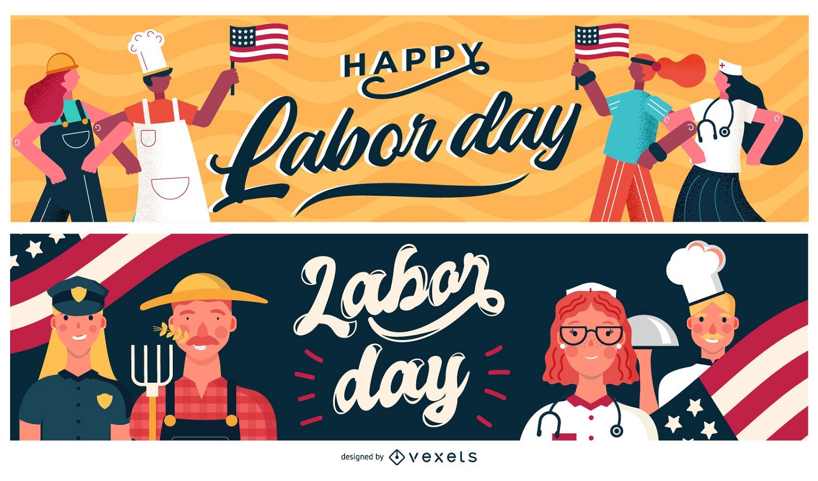
Labor day banner set
Choose a folder
All favorites
Create new
Save
Labor day banner set
US Republican elephant badge
Choose a folder
All favorites
Create new
Save
US Republican elephant badge
Editable text
Print ready
for Merch
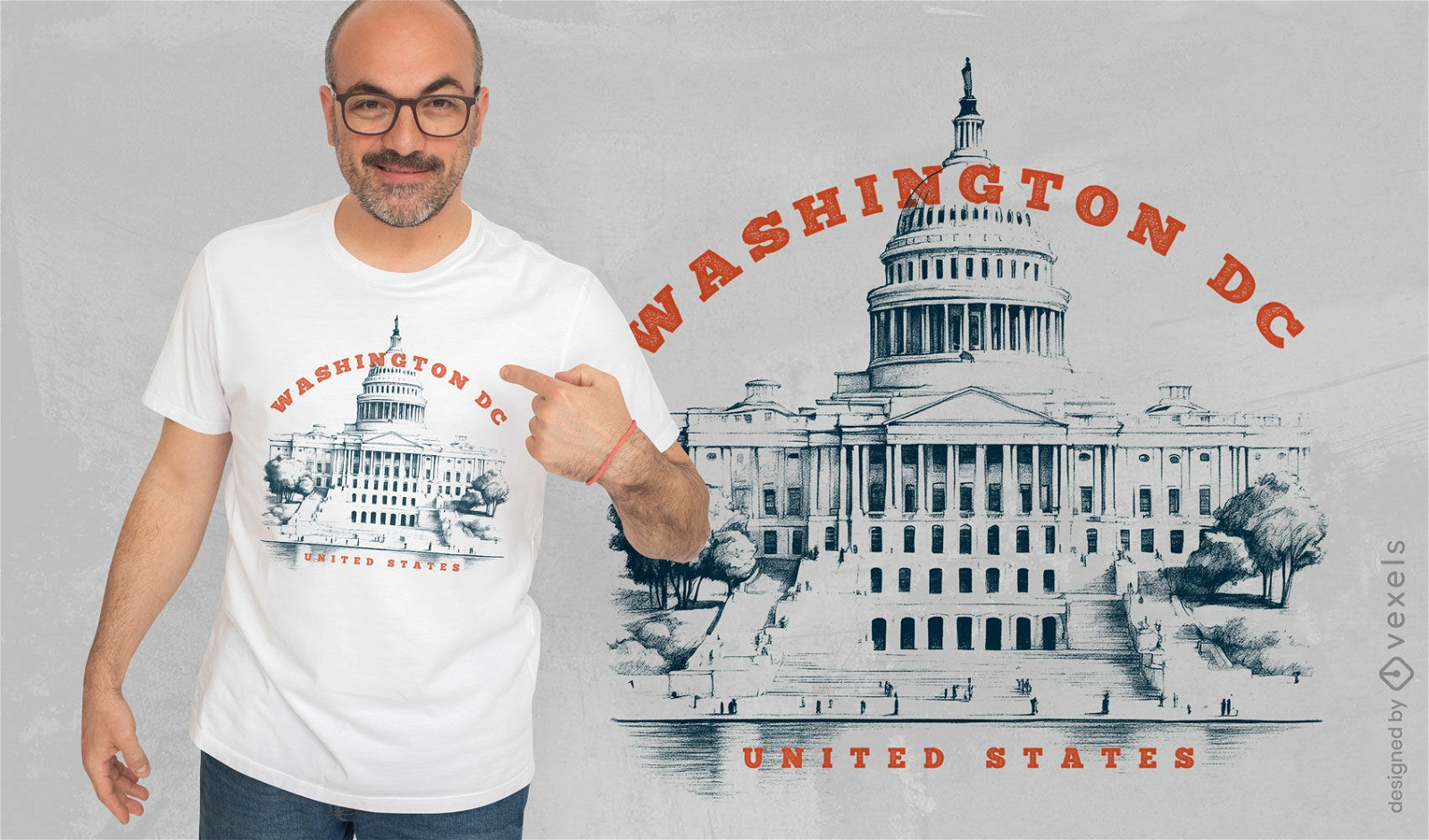
Washington DC landmark t-shirt design
Choose a folder
All favorites
Create new
Save
Washington DC landmark t-shirt design
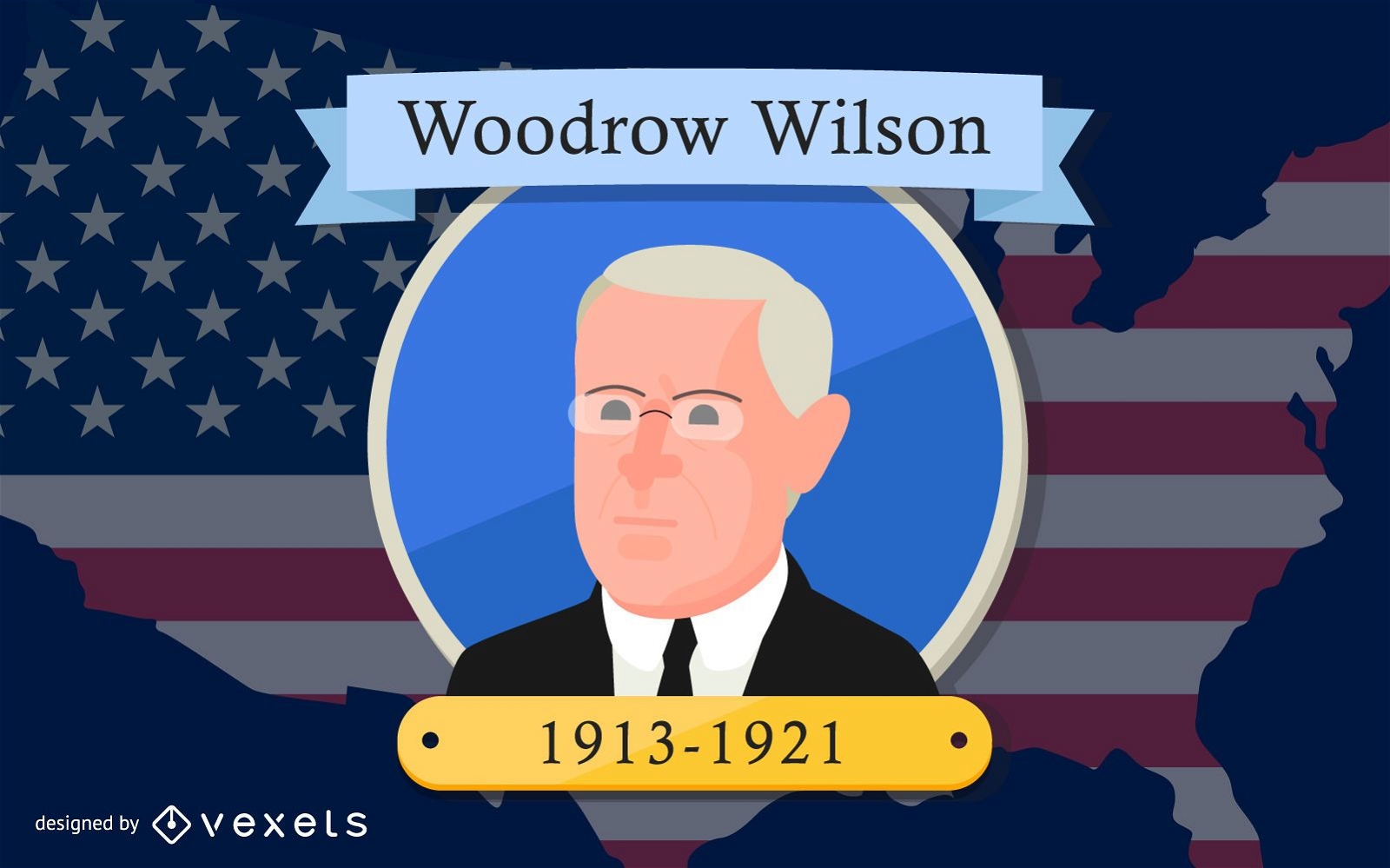
President Woodrow Wilson Cartoon Design
Choose a folder
All favorites
Create new
Save
President Woodrow Wilson Cartoon Design
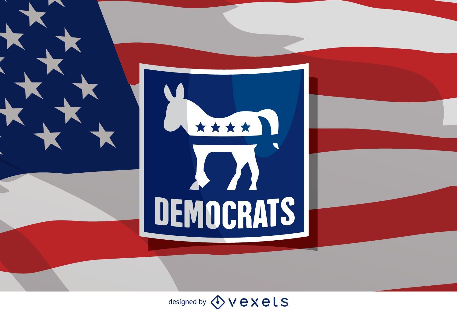
US election Democrat donkey
Choose a folder
All favorites
Create new
Save
US election Democrat donkey
Premium
American flag heart PNG Design
Choose a folder
All favorites
Create new
Save
American flag heart PNG Design
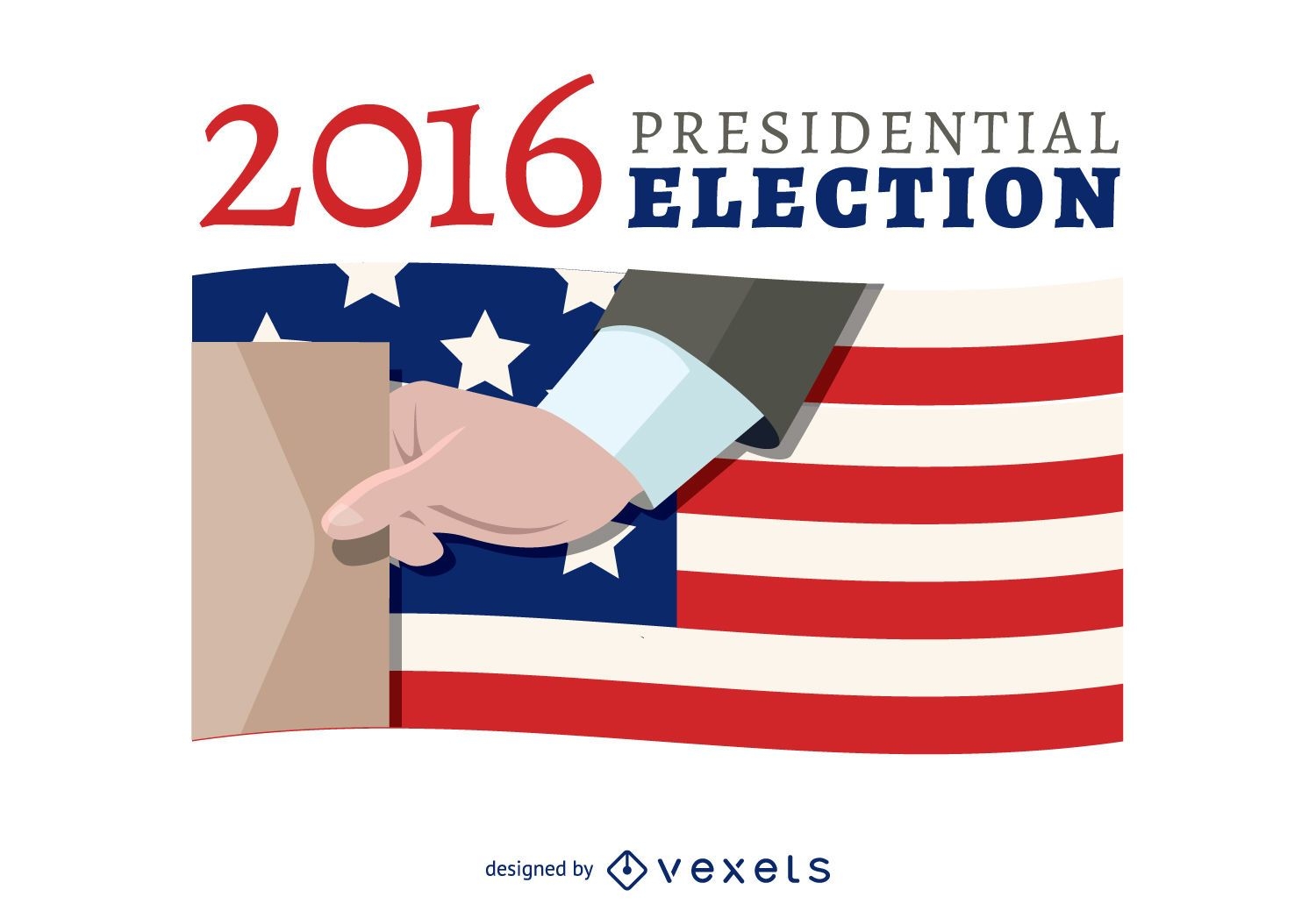
2016 election voting banner
Choose a folder
All favorites
Create new
Save
2016 election voting banner
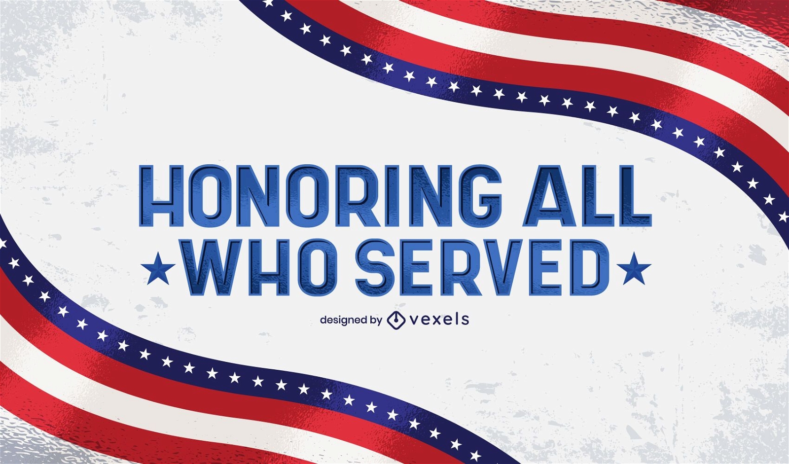
Honoring all who served lettering
Choose a folder
All favorites
Create new
Save
Honoring all who served lettering
Print ready
for Merch
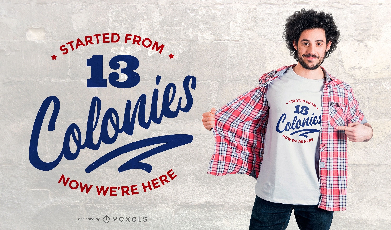
colonies t-shirt design
Choose a folder
All favorites
Create new
Save
colonies t-shirt design
AI generated, curated by our designers
for Merch
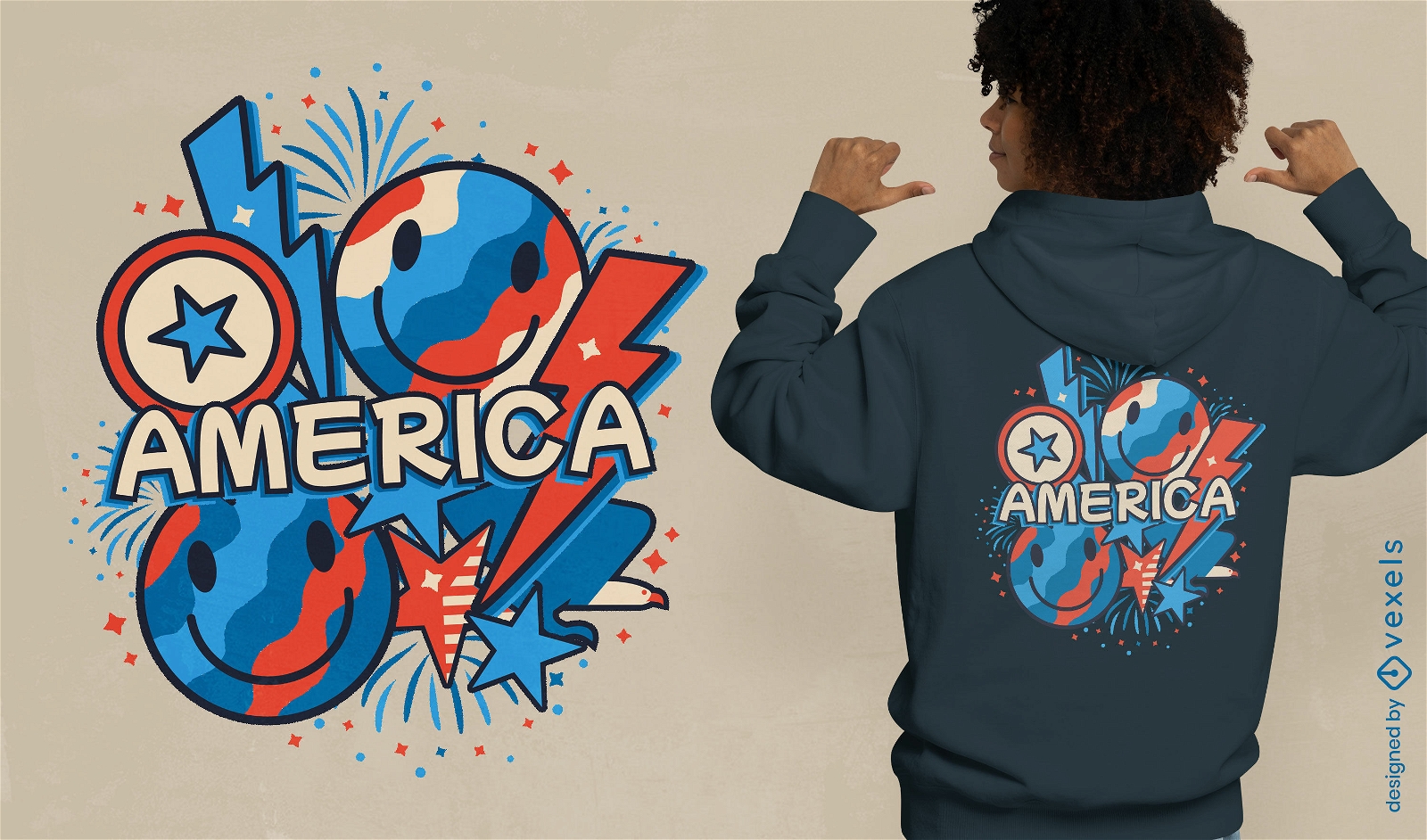
Explosive America t-shirt design
Choose a folder
All favorites
Create new
Save
Explosive America t-shirt design
Print ready
for Merch
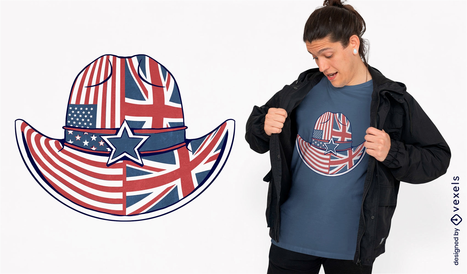
Patriotic cowboy hat t-shirt design
Choose a folder
All favorites
Create new
Save
Patriotic cowboy hat t-shirt design
Print ready
for Merch
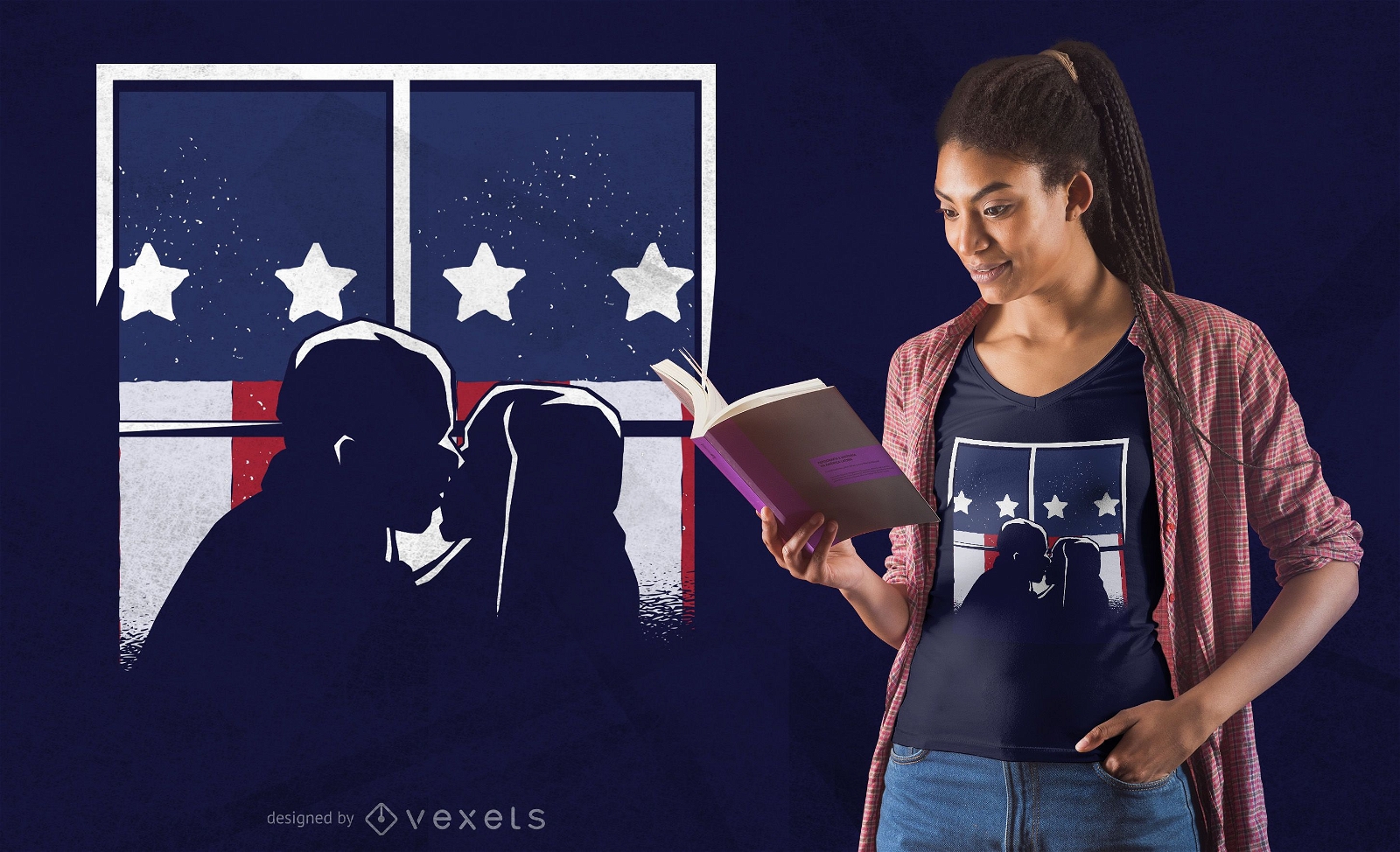
American kiss t-shirt design
Choose a folder
All favorites
Create new
Save
American kiss t-shirt design
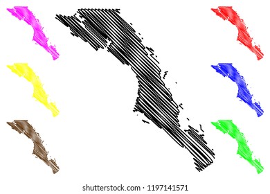
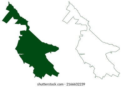
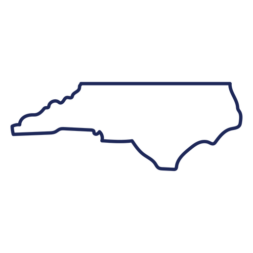
North Carolina state stroke map PNG Design
Choose a folder
All favorites
Create new
Save
North Carolina state stroke map PNG Design
Premium
Fourth of july modern background
Choose a folder
All favorites
Create new
Save
Fourth of july modern background
Premium
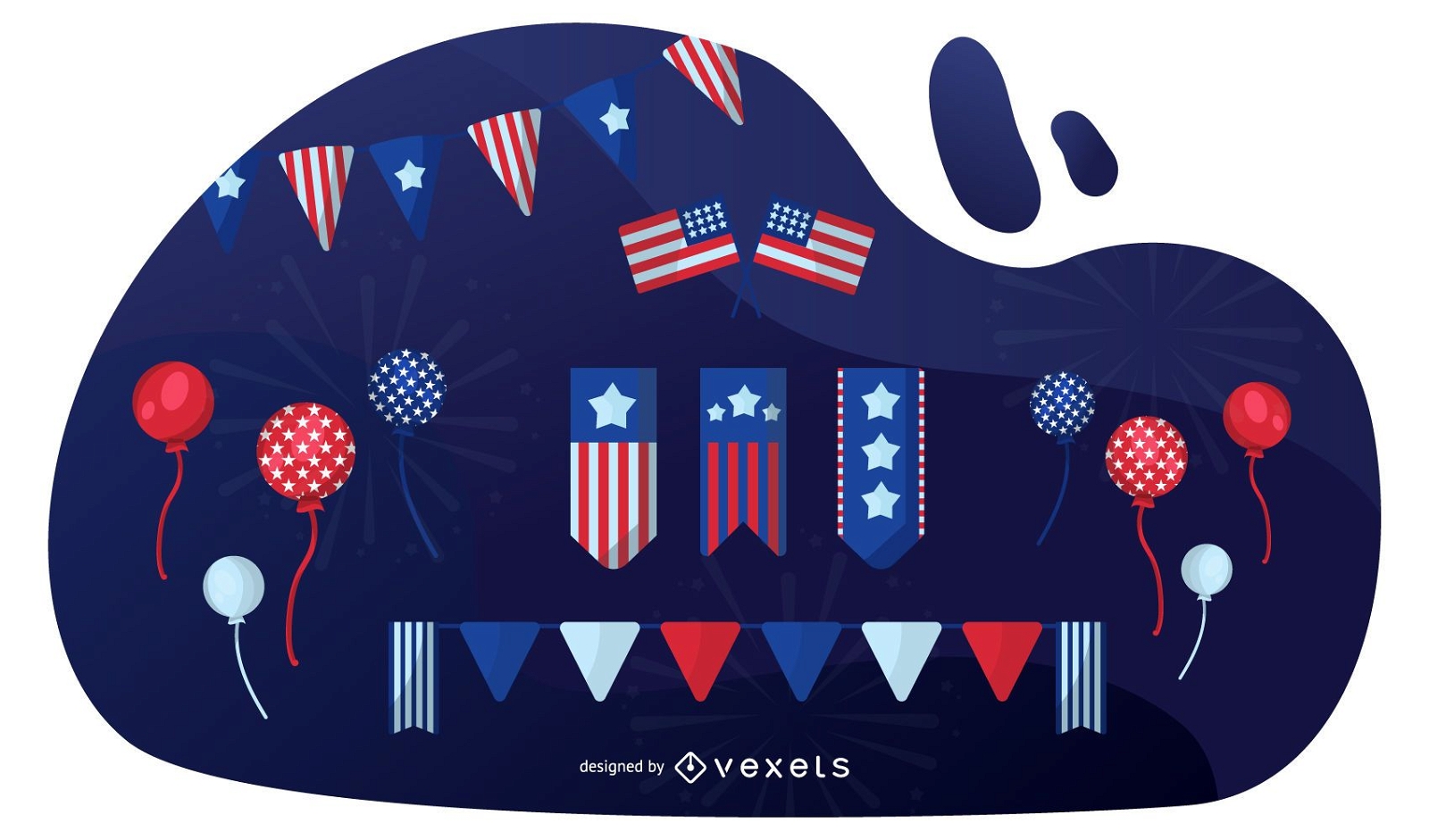
American Patriotic Elements Set
Choose a folder
All favorites
Create new
Save
American Patriotic Elements Set
Premium
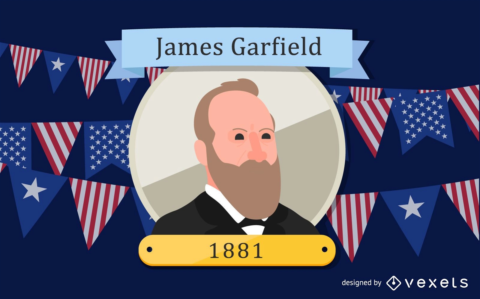
James Garfield Cartoon Illustration
Choose a folder
All favorites
Create new
Save
James Garfield Cartoon Illustration
Premium
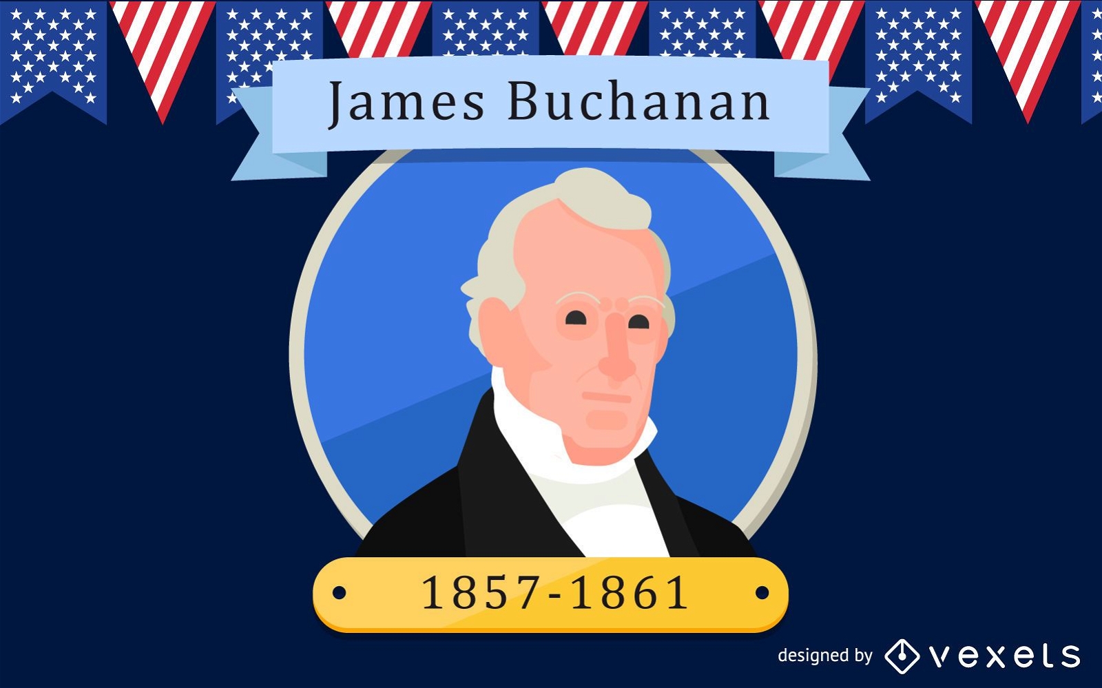
James Buchanan Cartoon Illustration
Choose a folder
All favorites
Create new
Save
James Buchanan Cartoon Illustration
Premium
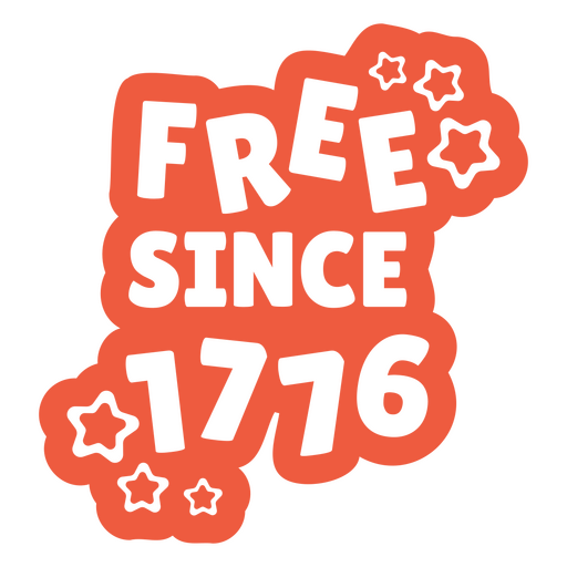
Free since 1776 quote PNG Design
Choose a folder
All favorites
Create new
Save
Free since 1776 quote PNG Design
Premium
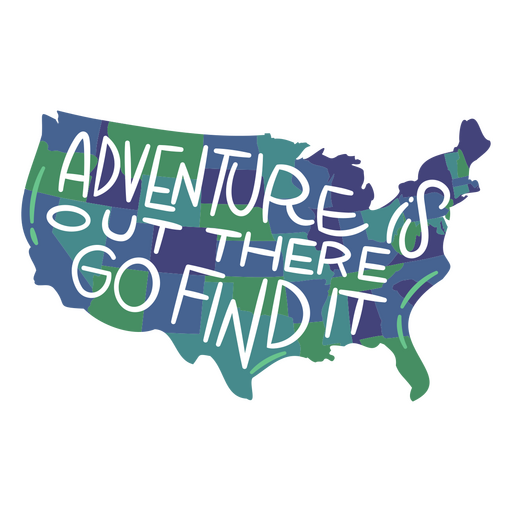
Adventure is out there go find it USA map PNG Design
Choose a folder
All favorites
Create new
Save
Adventure is out there go find it USA map PNG Design
Premium
Land of dreams USA quote PNG Design
Choose a folder
All favorites
Create new
Save
Land of dreams USA quote PNG Design
Premium
God bless america blue PNG Design
Choose a folder
All favorites
Create new
Save
God bless america blue PNG Design
Premium
Stylized new york city landmarks illustration PNG Design
Choose a folder
All favorites
Create new
Save
Stylized new york city landmarks illustration PNG Design
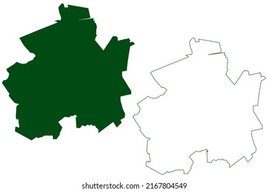
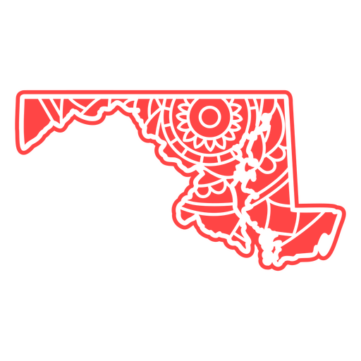
Maryland mandala states PNG Design
Choose a folder
All favorites
Create new
Save
Maryland mandala states PNG Design
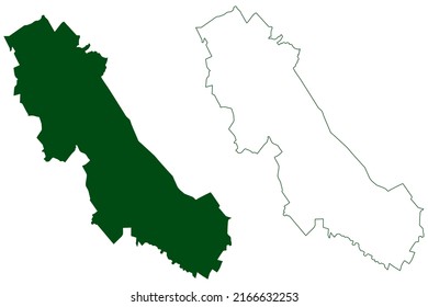
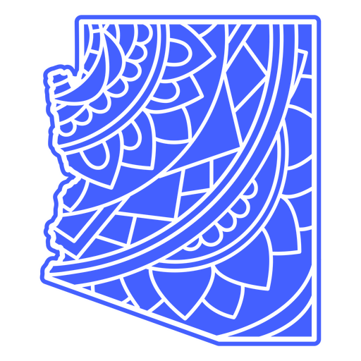
Arizona mandala states PNG Design
Choose a folder
All favorites
Create new
Save
Arizona mandala states PNG Design
Editable text
Premium
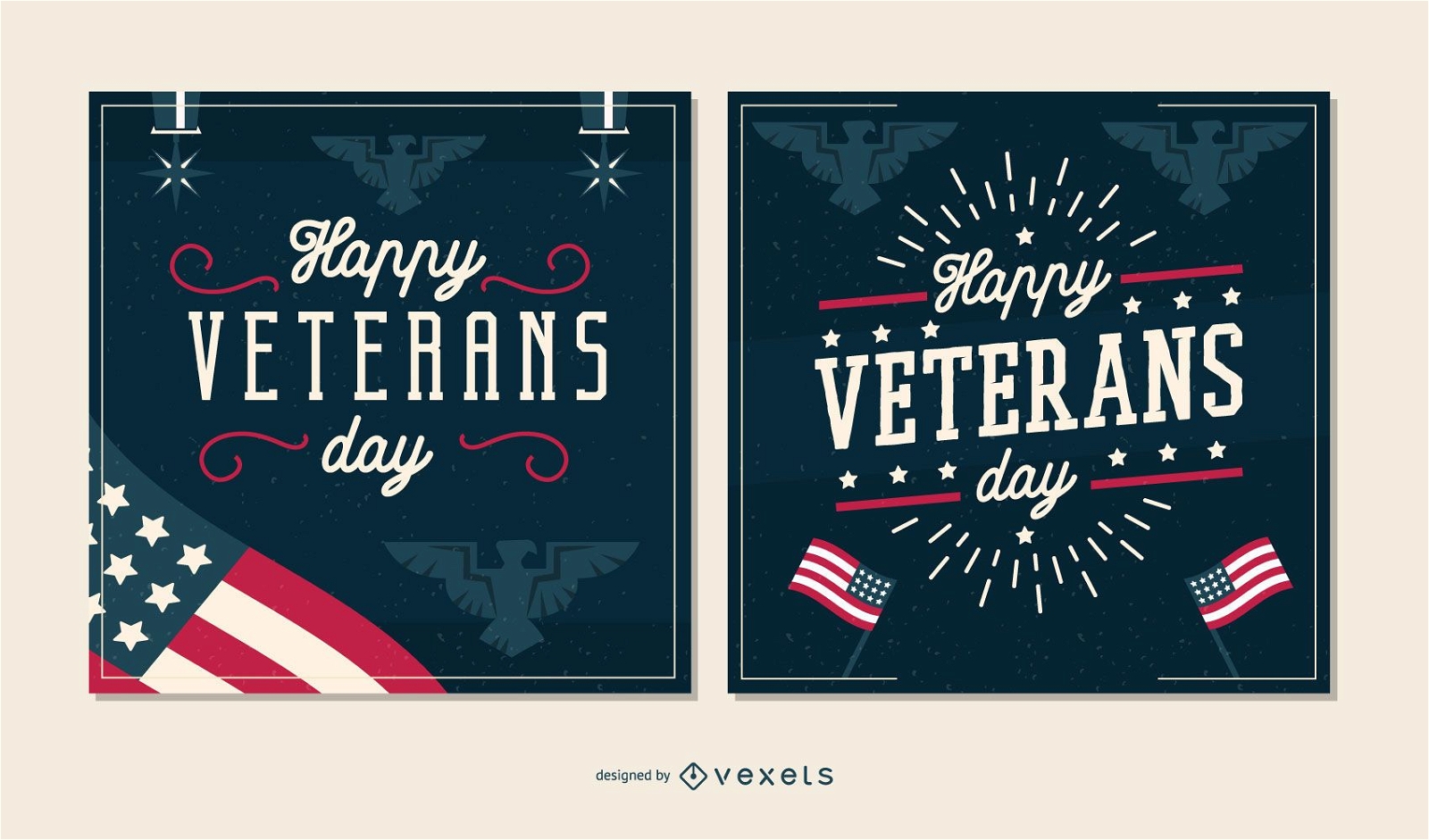
Veterans day banner set
Choose a folder
All favorites
Create new
Save
Veterans day banner set
Premium
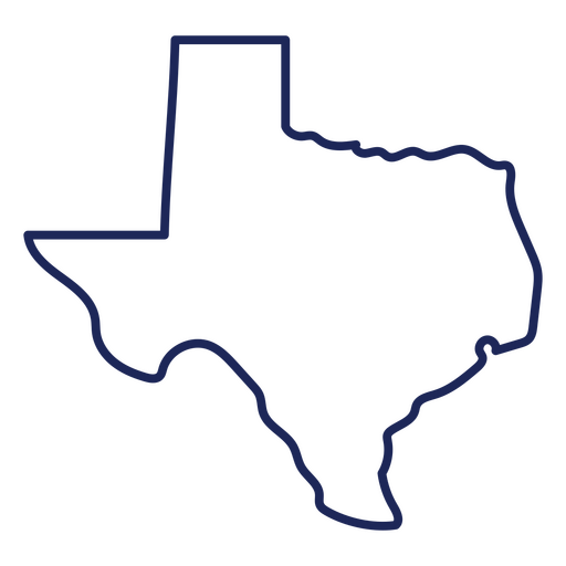
Texas map stroke PNG Design
Choose a folder
All favorites
Create new
Save
Texas map stroke PNG Design
Veteran's day eagle badge PNG Design
Choose a folder
All favorites
Create new
Save
Veteran's day eagle badge PNG Design
10 Famous USA cities Skylines
Choose a folder
All favorites
Create new
Save
10 Famous USA cities Skylines
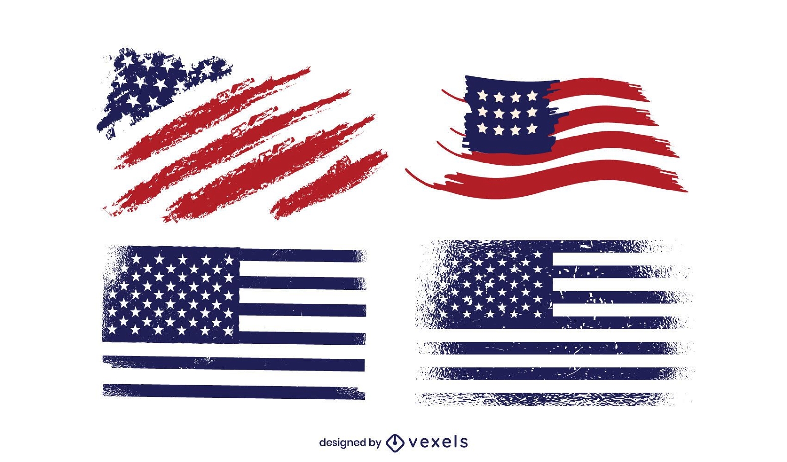
Premium
Grunge America Flag Design Pack
Choose a folder
All favorites
Create new
Save
Grunge America Flag Design Pack
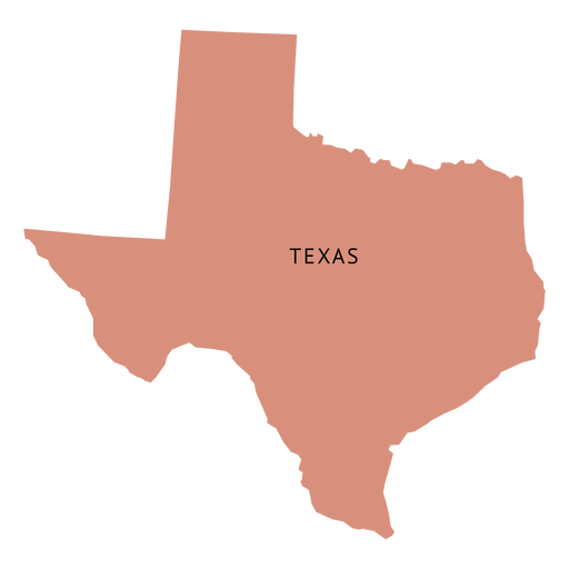
Premium
Texas state plain map PNG Design
Choose a folder
All favorites
Create new
Save
Texas state plain map PNG Design
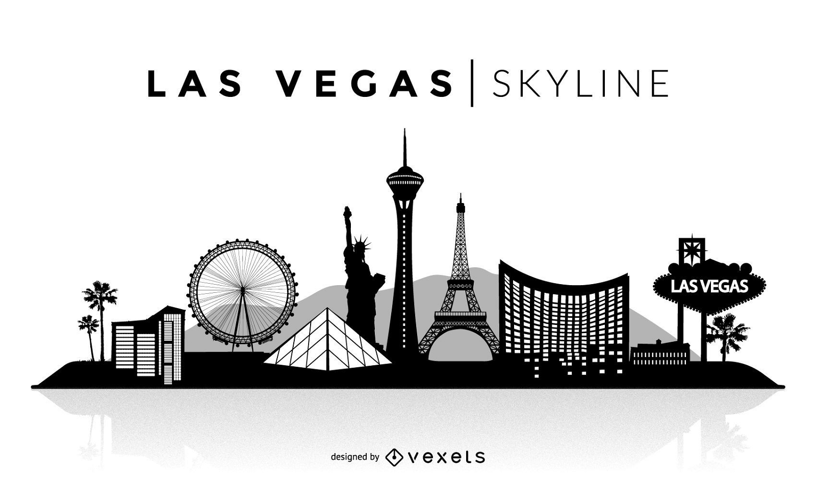
Premium
Las Vegas silhouette skyline
Choose a folder
All favorites
Create new
Save
Las Vegas silhouette skyline
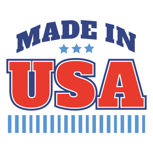
Premium
Bold made in usa graphic design PNG Design
Choose a folder
All favorites
Create new
Save
Bold made in usa graphic design PNG Design
Premium
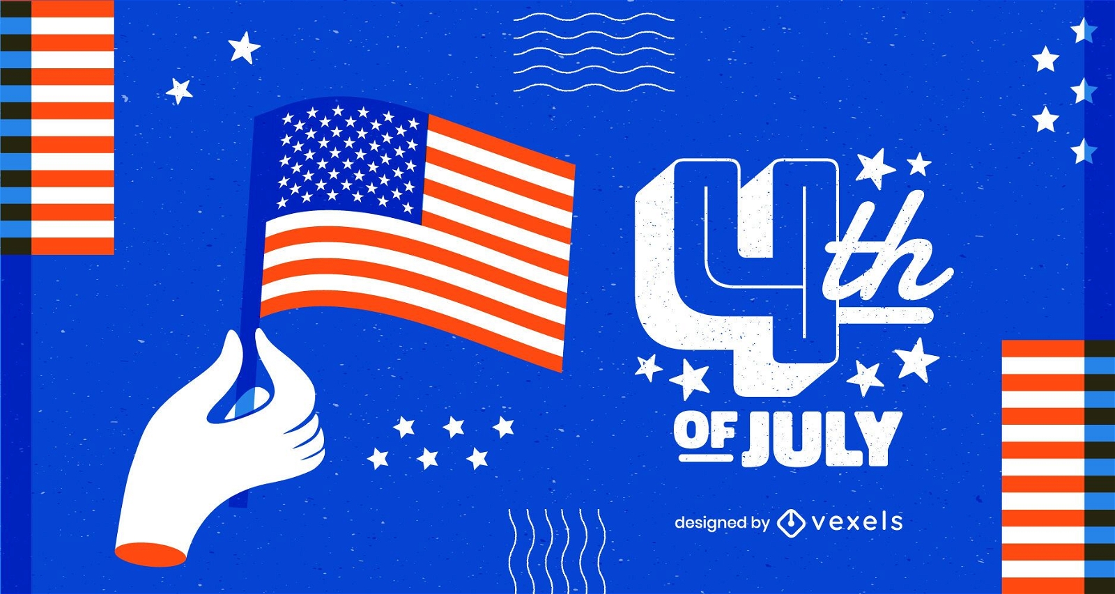
Bold fourth of july design PNG Design
Choose a folder
All favorites
Create new
Save
Bold fourth of july design PNG Design
Premium
Bold made in usa badge design PNG Design
Choose a folder
All favorites
Create new
Save
Bold made in usa badge design PNG Design
Boost Your Business
With The Leading Graphic Platform For Merch.
SEE PLANS
Next
of 69
prev page
next page