Design Library
New Merch Designs
T-Shirts
Vectors
Trending Merch Designs
PNGs & SVGs
Mockups
T-Shirt PSD Templates
Explore Designs
KDP Designs
Posters
Mugs
Phone Cases
Tote Bags
Pillows
Design Tools
Merch Designer
New!
Mockup Generator
AI Design Generator
Image Vectorizer
Quote Generator
T-Shirt Maker (Old)
Resources
Merch Digest
Blog
Help Center
Learn About Merch
Feedback
Corporate Solutions
Enterprise
API Access
Design Studio
Bulk Design Production
Pricing
Loading...
Sign Up
Login
All
estados
Design Library
New Merch Designs
T-Shirts
Vectors
Trending Merch Designs
PNGs & SVGs
Mockups
T-Shirt PSD Templates
Explore Designs
KDP Designs
Posters
Mugs
Phone Cases
Tote Bags
Pillows
Design Tools
Merch Designer
New!
Mockup Generator
AI Design Generator
Image Vectorizer
Quote Generator
T-Shirt Maker (Old)
Resources
Merch Digest
Blog
Help Center
Learn About Merch
Feedback
Corporate Solutions
Enterprise
API Access
Design Studio
Bulk Design Production
PLANS
All
estados
3409 estados designs graphics for t-shirt and print on demand merch
Download estados t-shirt designs and other merch graphics like book covers, phone cases, tote bags and more.
Sort by
Most relevant
Sponsored results by
Get 15% off with code: VEXELS15
Show more
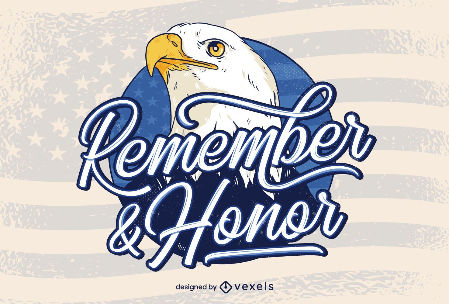
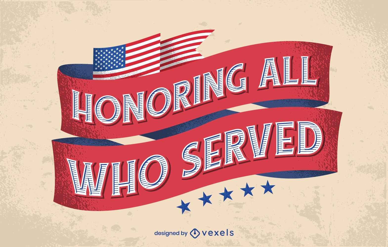
Remember & honor veterans day lettering
Choose a folder
All favorites
Create new
Save
Remember & honor veterans day lettering
Premium
american fireworks icon set
Choose a folder
All favorites
Create new
Save
american fireworks icon set
Premium
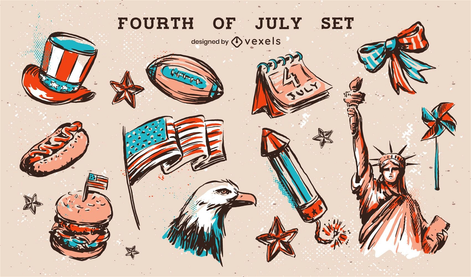
Fourth of july elements set
Choose a folder
All favorites
Create new
Save
Fourth of july elements set
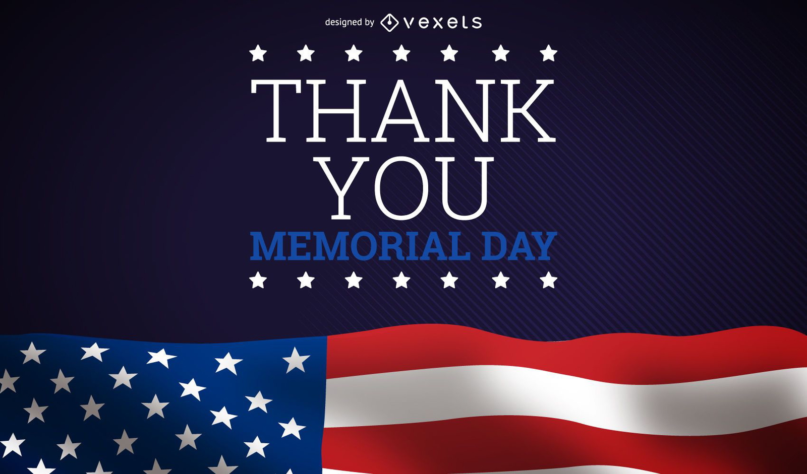
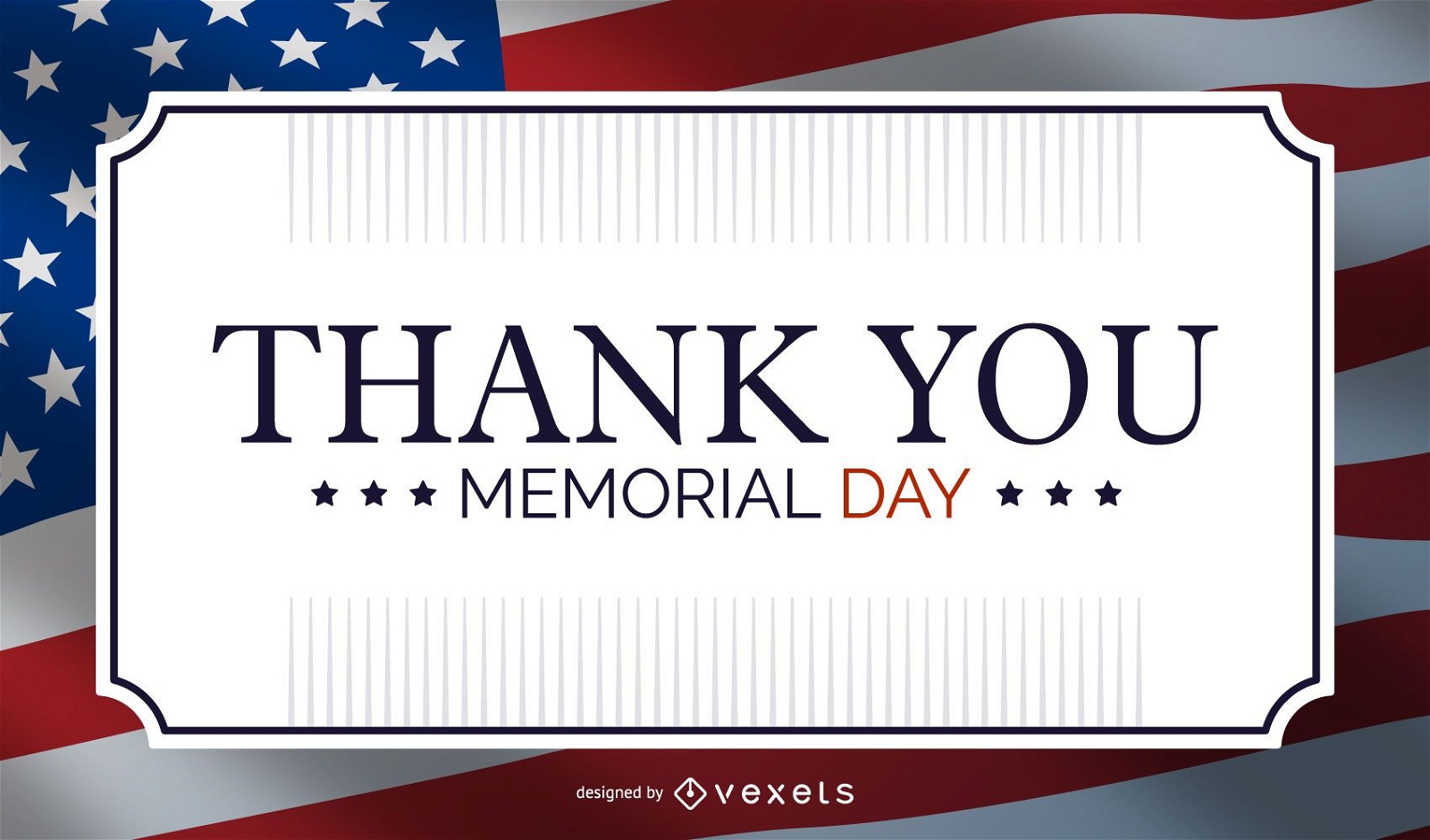
Memorial day thank you design
Choose a folder
All favorites
Create new
Save
Memorial day thank you design
Print ready
for Merch
Kansas skyline t-shirt design
Choose a folder
All favorites
Create new
Save
Kansas skyline t-shirt design
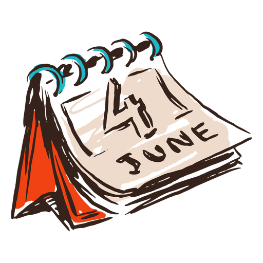
June 4th calendar vintage PNG Design
Choose a folder
All favorites
Create new
Save
June 4th calendar vintage PNG Design
Premium
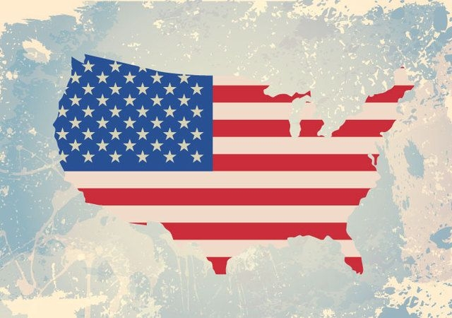
American Flag Icon Designs
Choose a folder
All favorites
Create new
Save
American Flag Icon Designs
Ripped USA Flag
Choose a folder
All favorites
Create new
Save
Ripped USA Flag
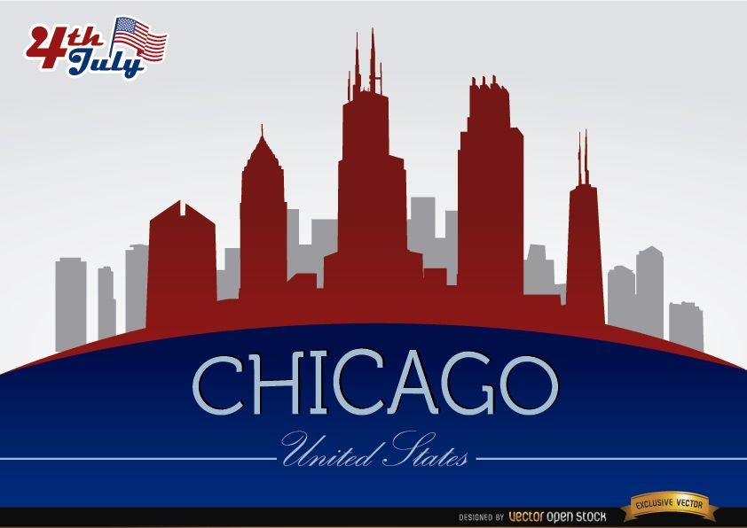
Chicago skyline on July 4th celebration
Choose a folder
All favorites
Create new
Save
Chicago skyline on July 4th celebration
Premium
Skyline tucson arizona city buildings stroke
Choose a folder
All favorites
Create new
Save
Skyline tucson arizona city buildings stroke
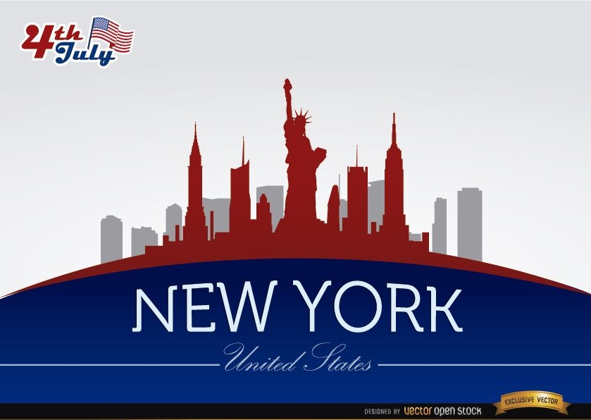
New York skyline on July 4th commemoration
Choose a folder
All favorites
Create new
Save
New York skyline on July 4th commemoration
Patriotic USA holiday poster maker
Choose a folder
All favorites
Create new
Save
Patriotic USA holiday poster maker
Print ready
for Merch
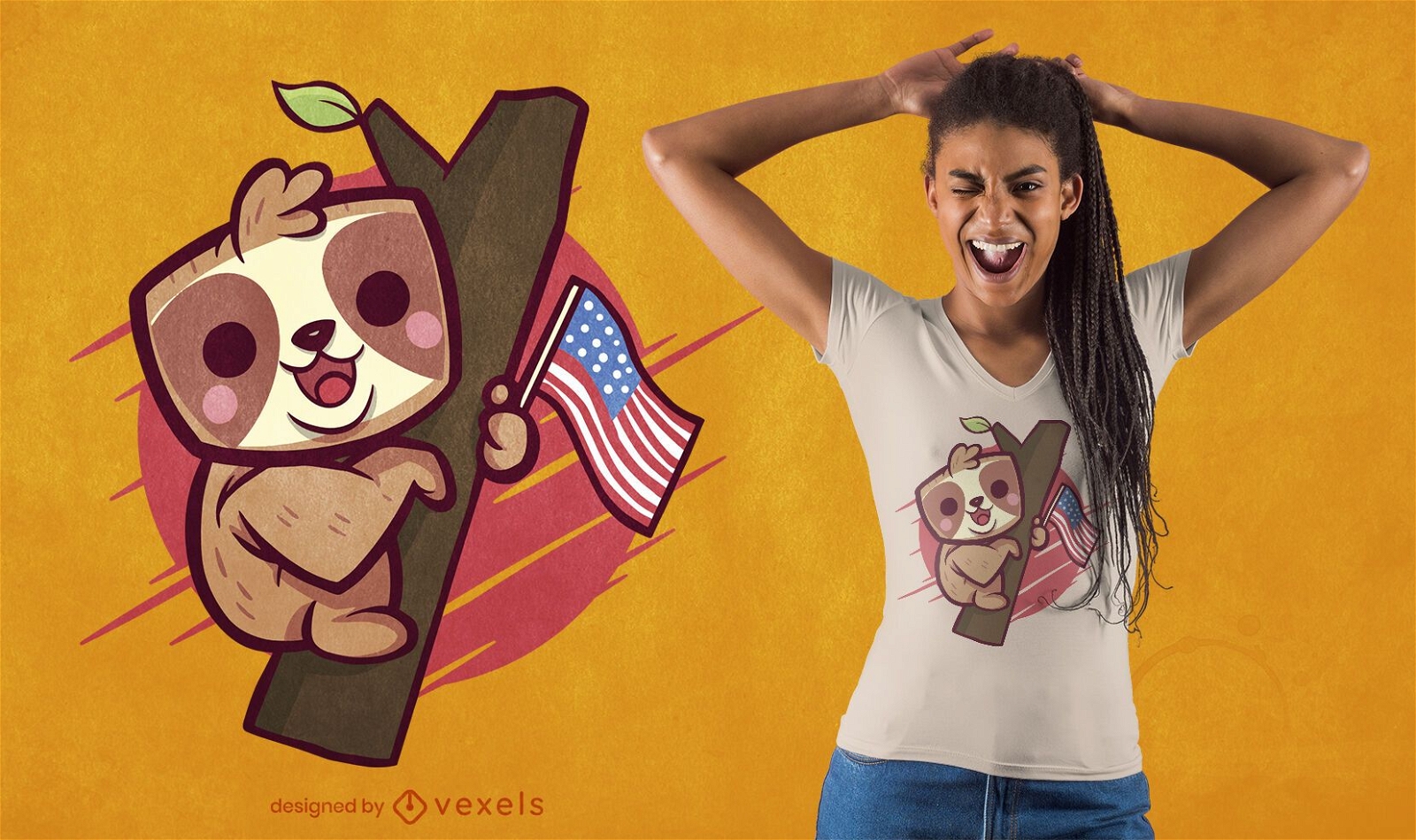
Cute patriotic sloth t-shirt design
Choose a folder
All favorites
Create new
Save
Cute patriotic sloth t-shirt design
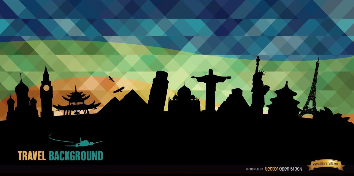
World monuments silhouettes background
Choose a folder
All favorites
Create new
Save
World monuments silhouettes background
Premium
Honoring all veterans day lettering
Choose a folder
All favorites
Create new
Save
Honoring all veterans day lettering
Premium
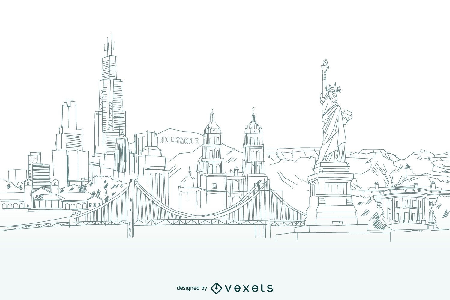
Coast to Coast Skyline
Choose a folder
All favorites
Create new
Save
Coast to Coast Skyline
Trump and Putin cartoons for articles
Choose a folder
All favorites
Create new
Save
Trump and Putin cartoons for articles
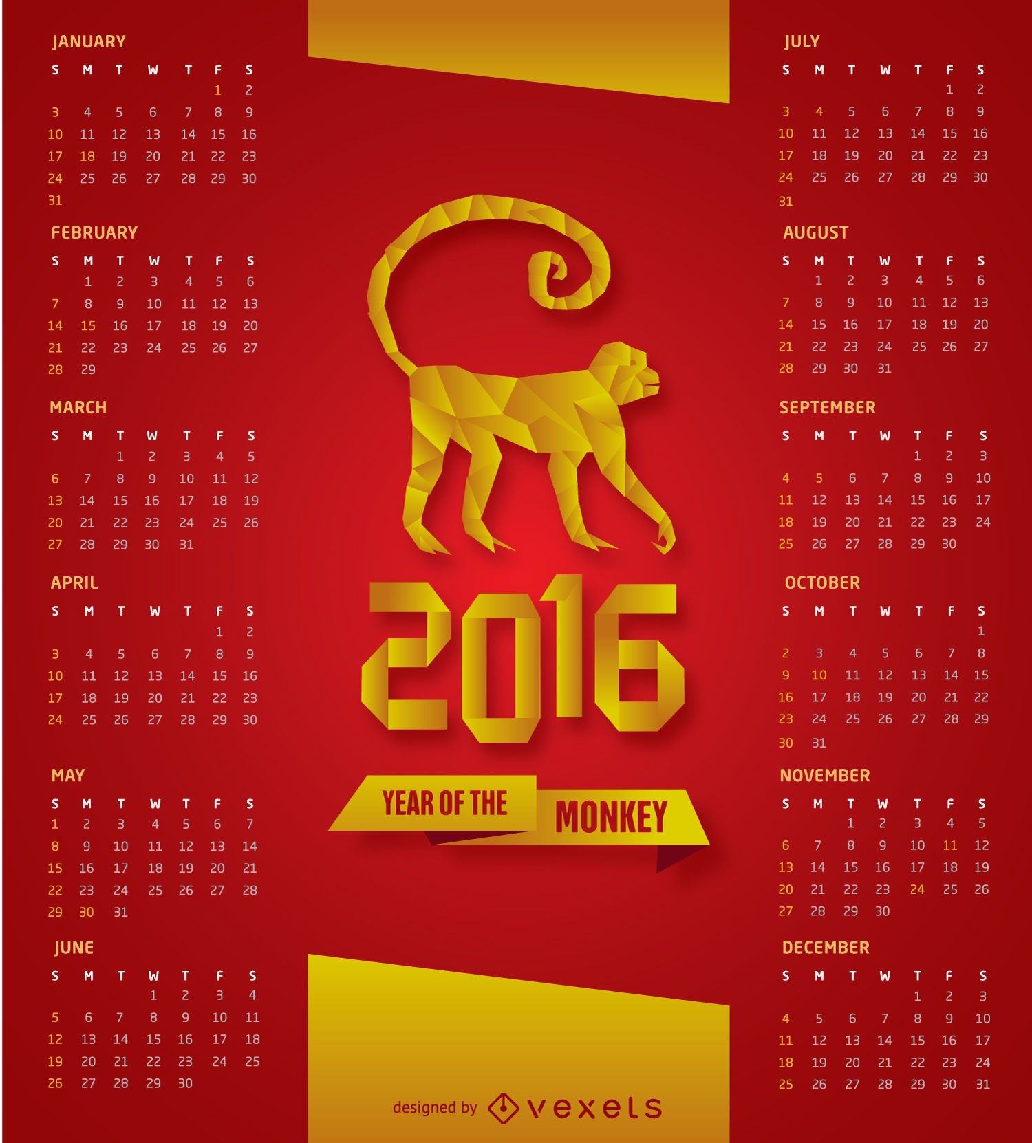
2016 Red and White Calendar
Choose a folder
All favorites
Create new
Save
2016 Red and White Calendar
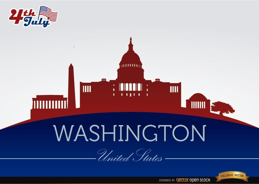
Washington city silhouettes on July 4th
Choose a folder
All favorites
Create new
Save
Washington city silhouettes on July 4th
Print ready
for Merch
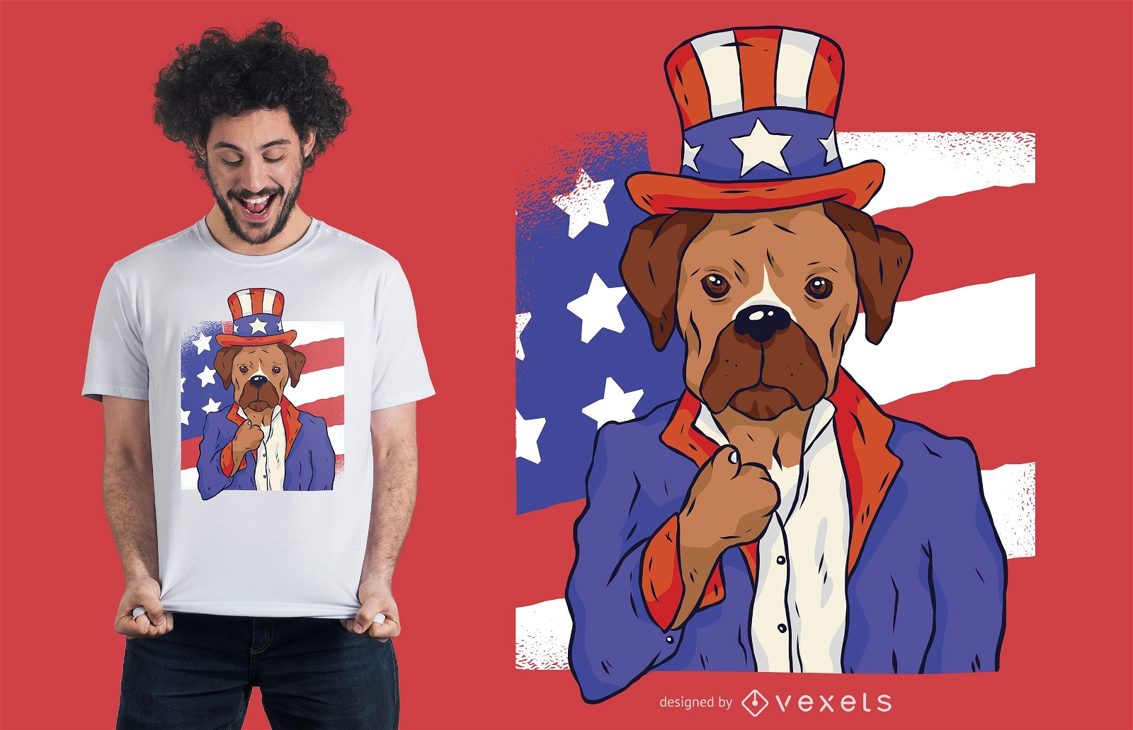
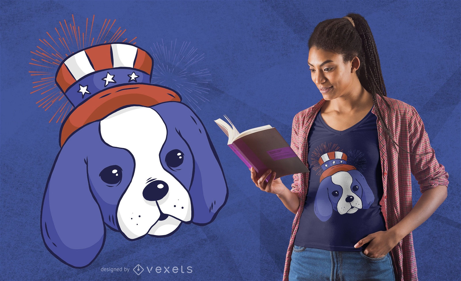
Patriotic dog t-shirt design
Choose a folder
All favorites
Create new
Save
Patriotic dog t-shirt design
Editable text
Premium
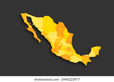
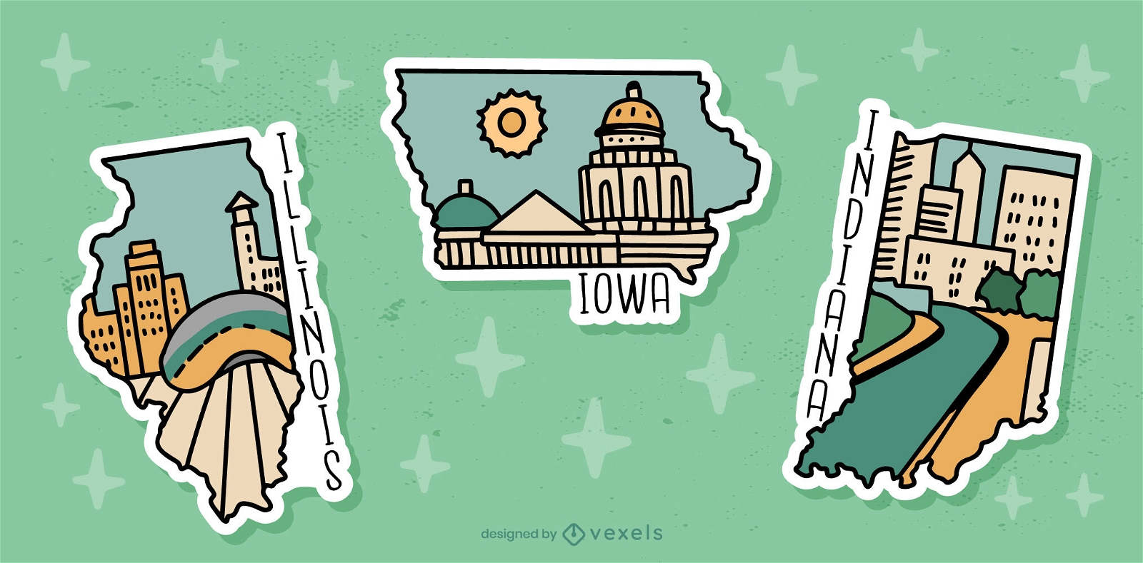
US state sticker set
Choose a folder
All favorites
Create new
Save
US state sticker set
New York flag day skyline
Choose a folder
All favorites
Create new
Save
New York flag day skyline
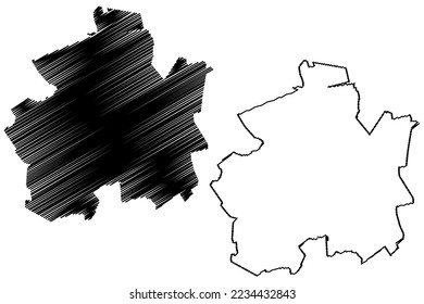
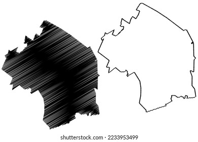
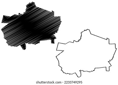
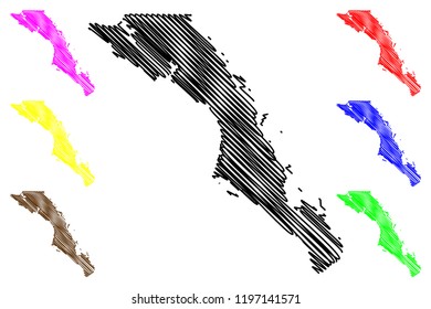
Tennessee state stroke map PNG Design
Choose a folder
All favorites
Create new
Save
Tennessee state stroke map PNG Design
Print ready
for Merch
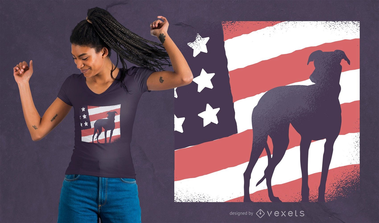
Dog american flag t-shirt design
Choose a folder
All favorites
Create new
Save
Dog american flag t-shirt design
Tileable pattern
Premium
USA zig zag pattern design
Choose a folder
All favorites
Create new
Save
USA zig zag pattern design
Print ready
for Merch
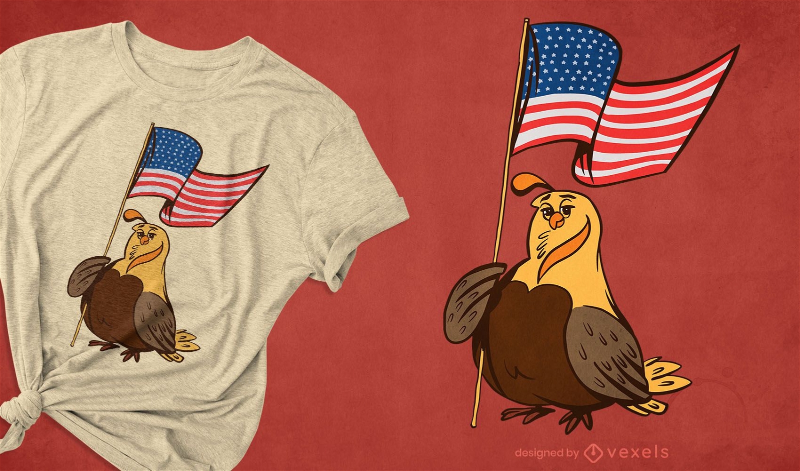
Patriotic quail t-shirt design
Choose a folder
All favorites
Create new
Save
Patriotic quail t-shirt design
Editable text
Premium
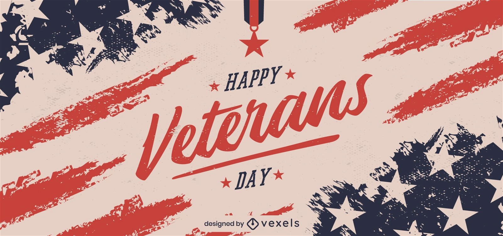
Happy veterans day banner design
Choose a folder
All favorites
Create new
Save
Happy veterans day banner design
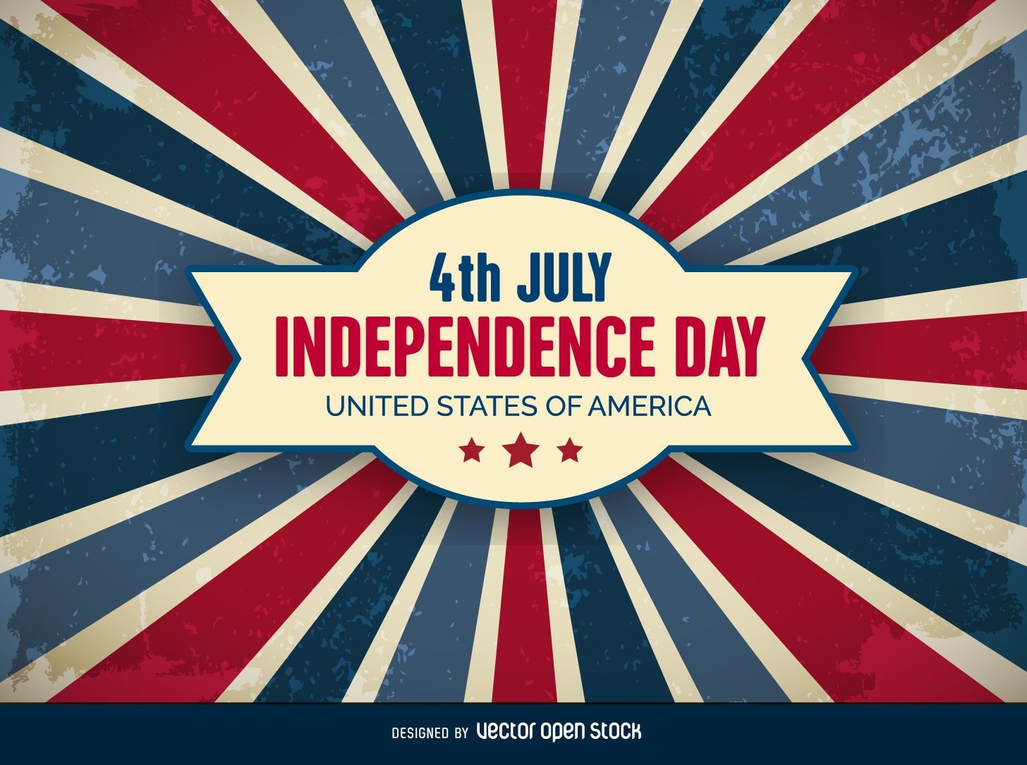
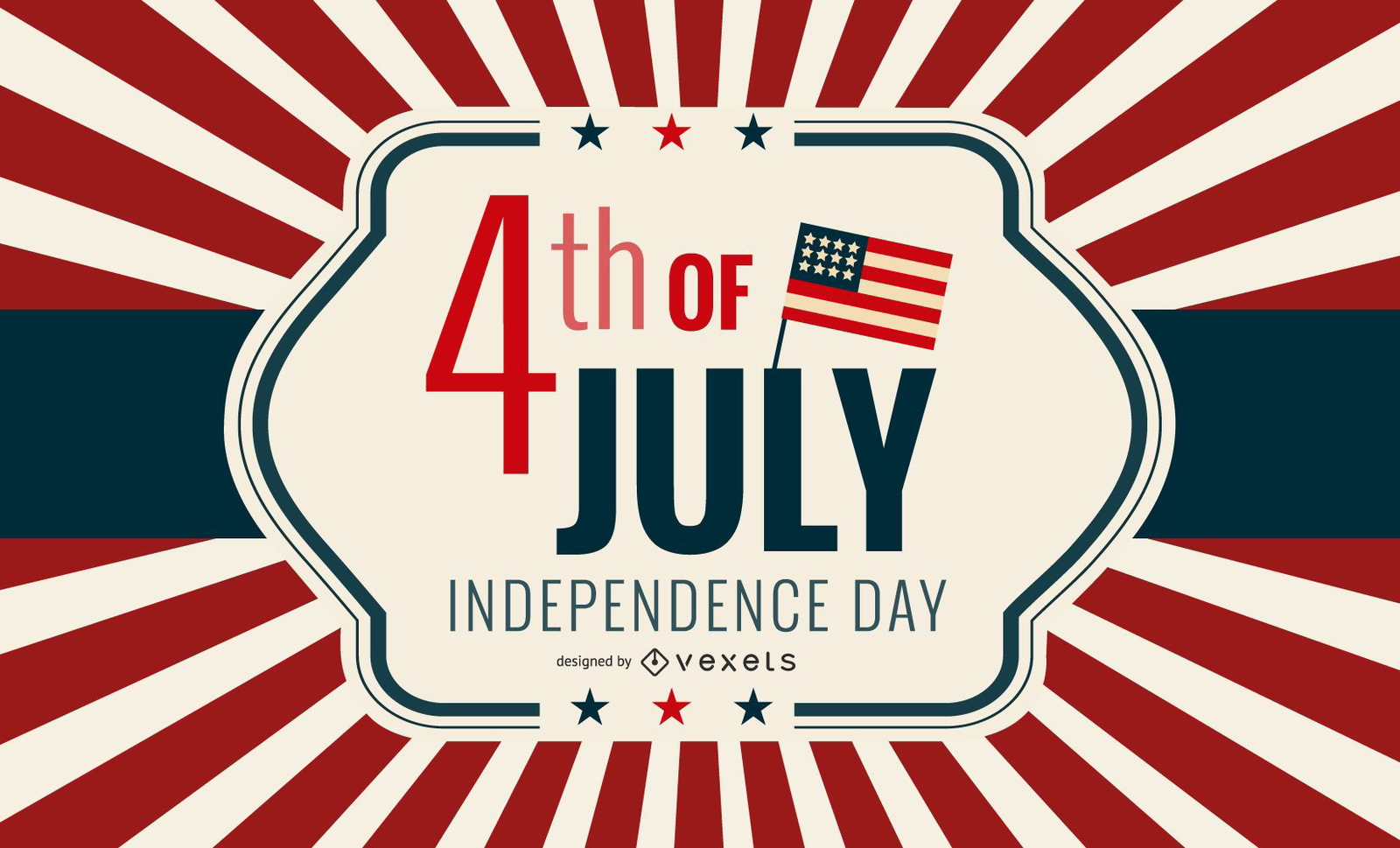
4th of July Independence Day Background
Choose a folder
All favorites
Create new
Save
4th of July Independence Day Background
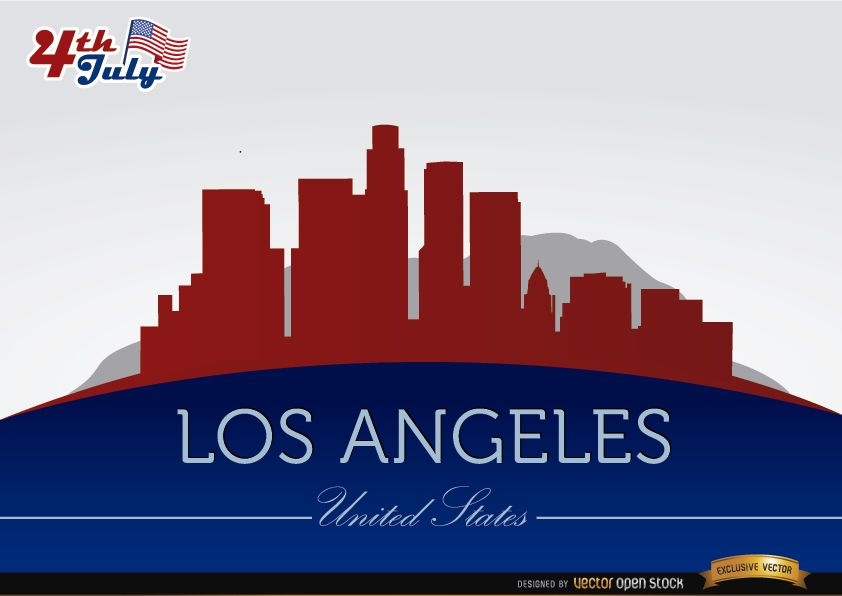
Los Angeles city silhouettes on July 4th
Choose a folder
All favorites
Create new
Save
Los Angeles city silhouettes on July 4th
Premium
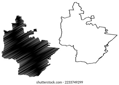
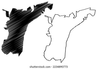
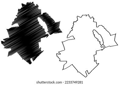
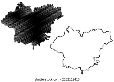
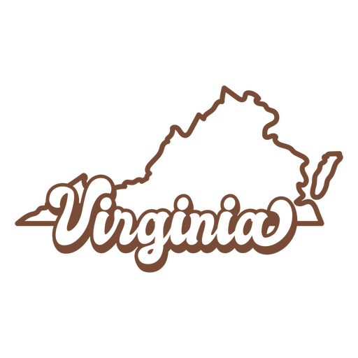
The state of virginia is shown PNG Design
Choose a folder
All favorites
Create new
Save
The state of virginia is shown PNG Design
Editable text
Print ready
for Merch
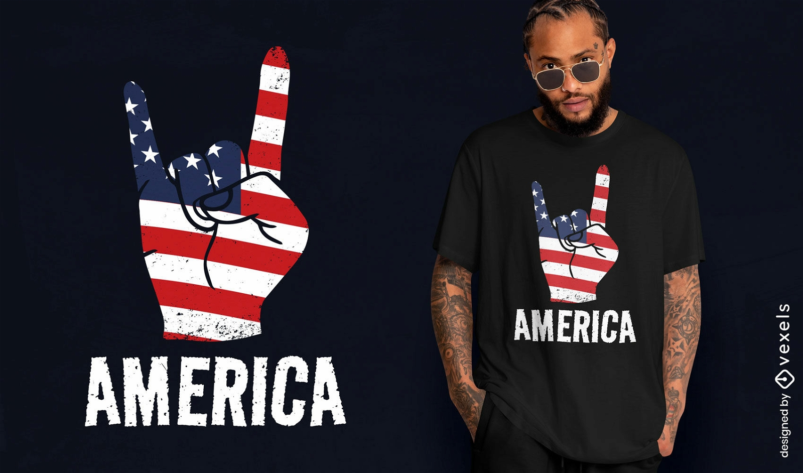
America rock and roll t-shirt design
Choose a folder
All favorites
Create new
Save
America rock and roll t-shirt design
Print ready
for Merch
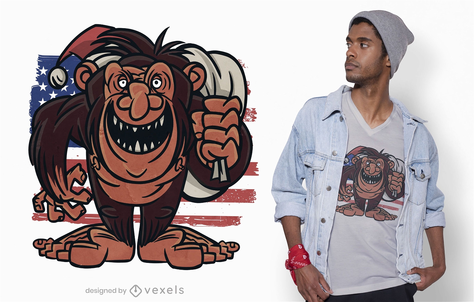
American bigfoot t-shirt design
Choose a folder
All favorites
Create new
Save
American bigfoot t-shirt design
Premium
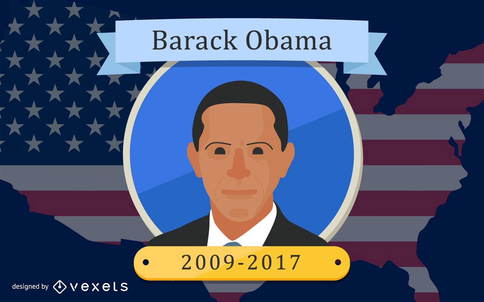
President Barack Obama design
Choose a folder
All favorites
Create new
Save
President Barack Obama design
Premium
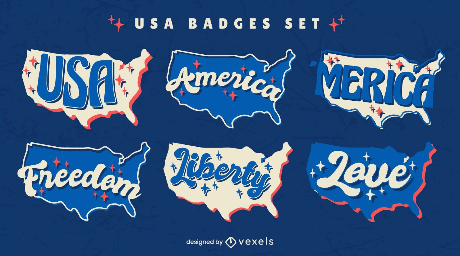
Fourth of July set of retro USA badges
Choose a folder
All favorites
Create new
Save
Fourth of July set of retro USA badges
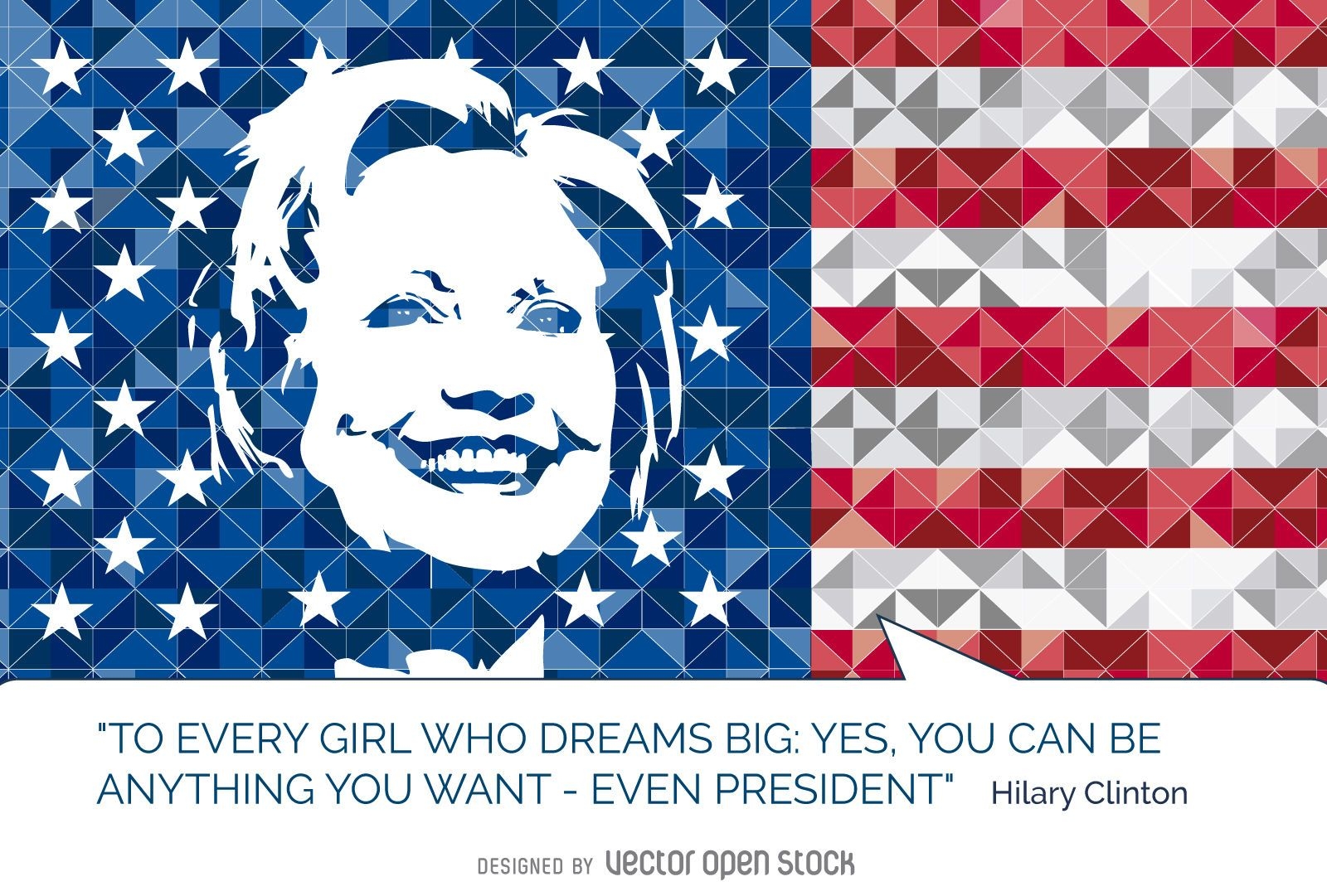
Hillary Clinton quote US flag
Choose a folder
All favorites
Create new
Save
Hillary Clinton quote US flag
Print ready
for Merch
Ameowica cat t-shirt design
Choose a folder
All favorites
Create new
Save
Ameowica cat t-shirt design
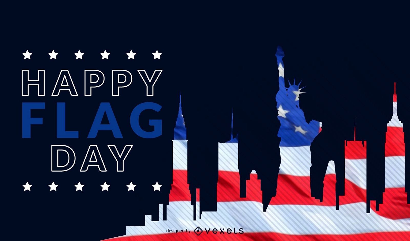
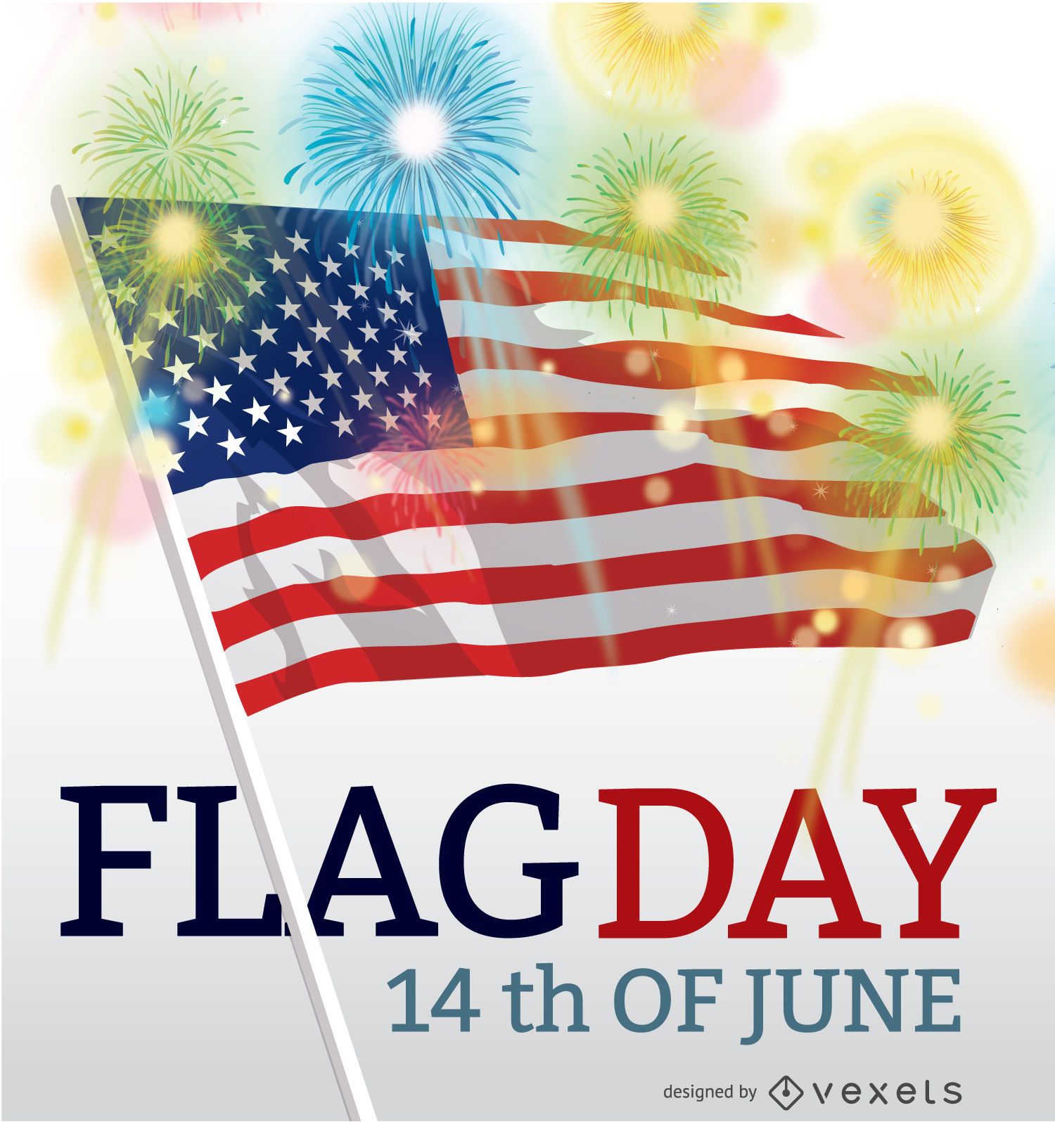
Flag Day USA june 14th
Choose a folder
All favorites
Create new
Save
Flag Day USA june 14th
Independence Day Round Badge Set
Choose a folder
All favorites
Create new
Save
Independence Day Round Badge Set
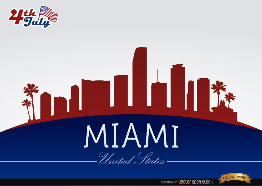
Miami skyline on July 4th commemoration
Choose a folder
All favorites
Create new
Save
Miami skyline on July 4th commemoration
2016 calendar Red and gold
Choose a folder
All favorites
Create new
Save
2016 calendar Red and gold
USA Independent Day Greeting Card
Choose a folder
All favorites
Create new
Save
USA Independent Day Greeting Card
Premium
July 4th vintage stroke set of stickers
Choose a folder
All favorites
Create new
Save
July 4th vintage stroke set of stickers
Colorful pinwheel toy PNG Design
Choose a folder
All favorites
Create new
Save
Colorful pinwheel toy PNG Design
Memorial day design
Choose a folder
All favorites
Create new
Save
Memorial day design
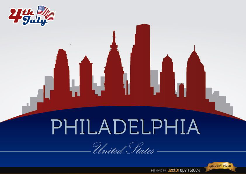
Philadelphia skyline on July 4th commemoration
Choose a folder
All favorites
Create new
Save
Philadelphia skyline on July 4th commemoration
Print ready
for Merch
American puppy t-shirt design
Choose a folder
All favorites
Create new
Save
American puppy t-shirt design
Print ready
for Merch
Celebrate July 4th t-shirt design
Choose a folder
All favorites
Create new
Save
Celebrate July 4th t-shirt design
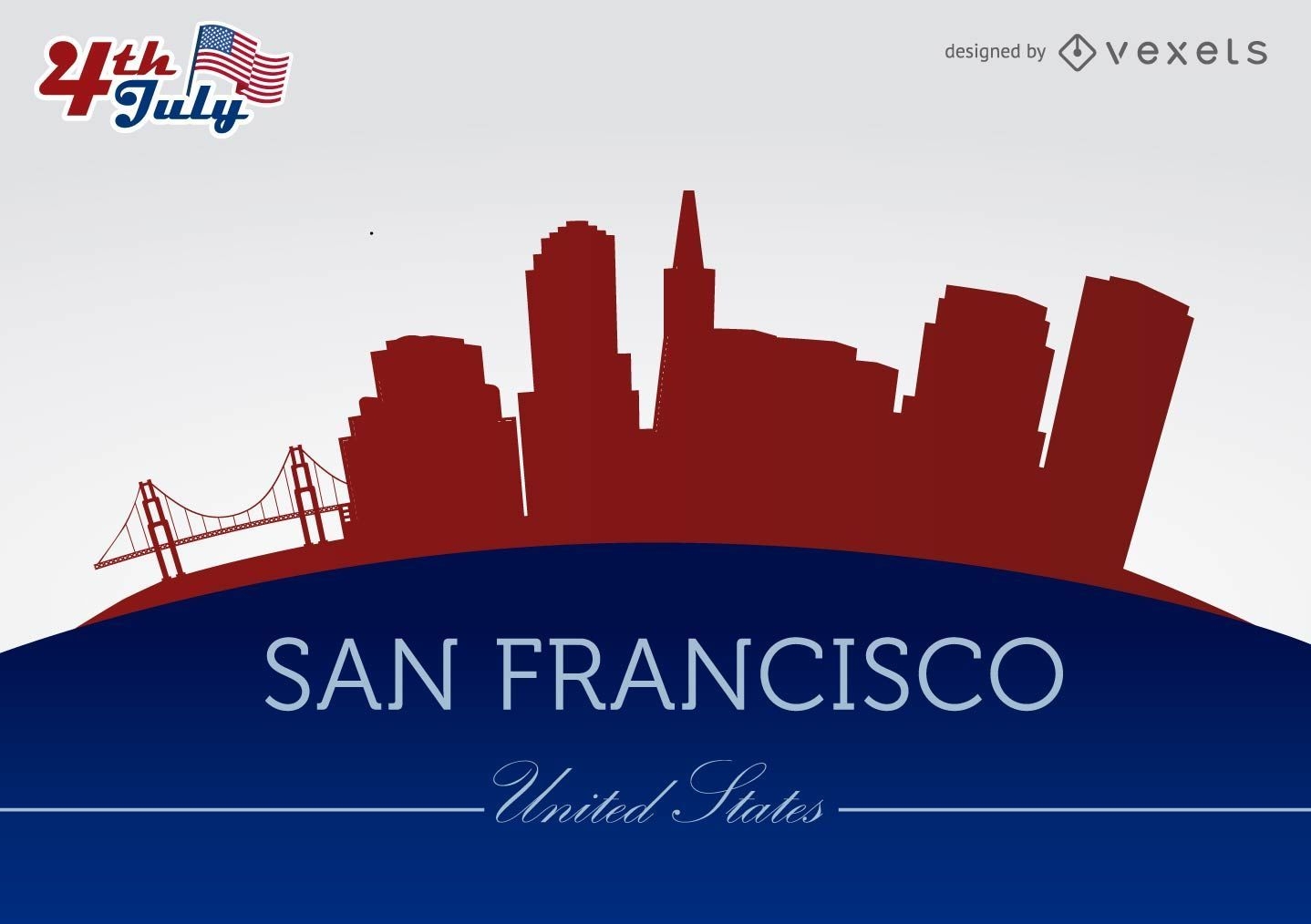
San Francisco city silhouettes on July 4th
Choose a folder
All favorites
Create new
Save
San Francisco city silhouettes on July 4th
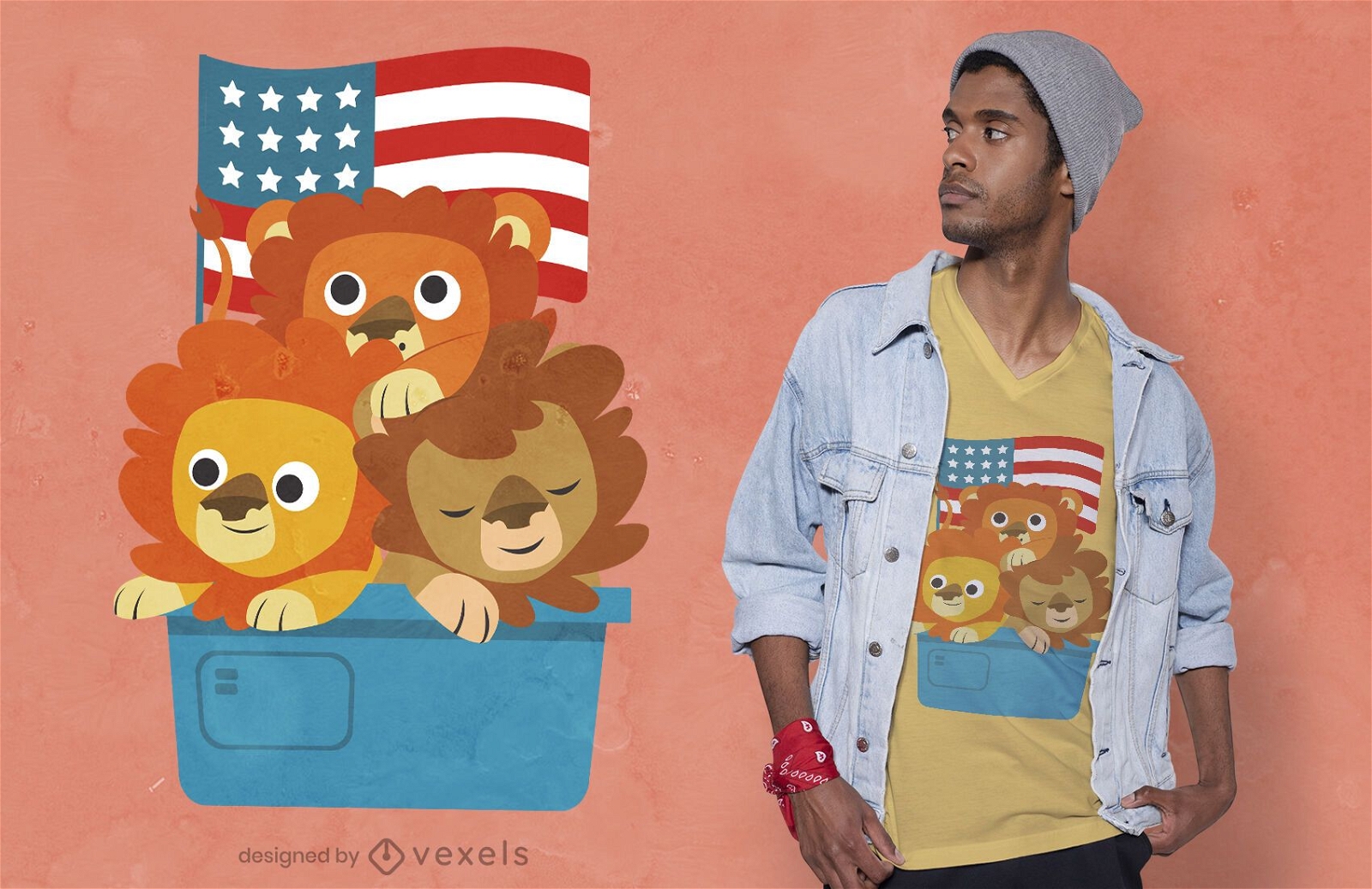
Print ready
for Merch
Lion cubs t-shirt design
Choose a folder
All favorites
Create new
Save
Lion cubs t-shirt design
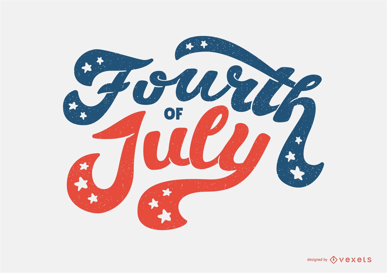
Premium
Fourth of July Lettering quote
Choose a folder
All favorites
Create new
Save
Fourth of July Lettering quote
Boost Your Business
With The Leading Graphic Platform For Merch.
SEE PLANS
Next
of 69
prev page
next page