Design Library
New Merch Designs
T-Shirts
Vectors
Trending Merch Designs
PNGs & SVGs
Mockups
T-Shirt PSD Templates
Explore Designs
KDP Designs
Posters
Mugs
Phone Cases
Tote Bags
Pillows
Design Tools
Merch Designer
New!
Mockup Generator
AI Design Generator
Image Vectorizer
Quote Generator
T-Shirt Maker (Old)
Resources
Merch Digest
Blog
Help Center
Learn About Merch
Feedback
Corporate Solutions
Enterprise
API Access
Design Studio
Bulk Design Production
Pricing
Loading...
Sign Up
Login
All
estados
Design Library
New Merch Designs
T-Shirts
Vectors
Trending Merch Designs
PNGs & SVGs
Mockups
T-Shirt PSD Templates
Explore Designs
KDP Designs
Posters
Mugs
Phone Cases
Tote Bags
Pillows
Design Tools
Merch Designer
New!
Mockup Generator
AI Design Generator
Image Vectorizer
Quote Generator
T-Shirt Maker (Old)
Resources
Merch Digest
Blog
Help Center
Learn About Merch
Feedback
Corporate Solutions
Enterprise
API Access
Design Studio
Bulk Design Production
PLANS
All
estados
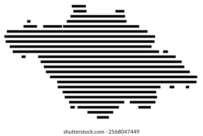
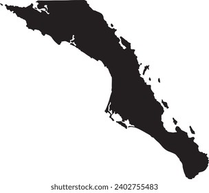
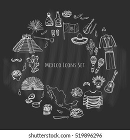
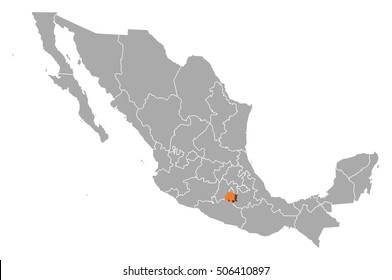
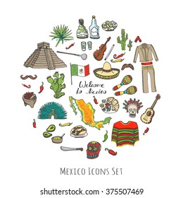
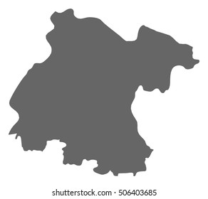
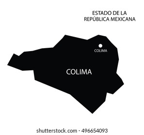
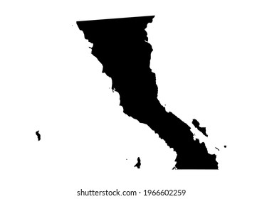
3407 estados designs graphics for t-shirt and print on demand merch
Download estados t-shirt designs and other merch graphics like book covers, phone cases, tote bags and more.
Sort by
Most relevant
Sponsored results by
Get 15% off with code: VEXELS15
Show more
USA flag in star hand drawn badge PNG Design
Choose a folder
All favorites
Create new
Save
USA flag in star hand drawn badge PNG Design
Premium
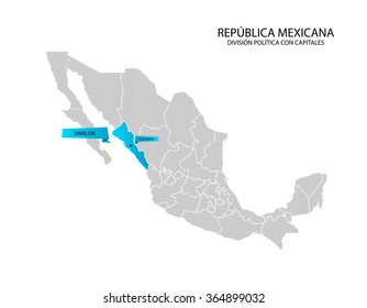
Usa silhouette map PNG Design
Choose a folder
All favorites
Create new
Save
Usa silhouette map PNG Design
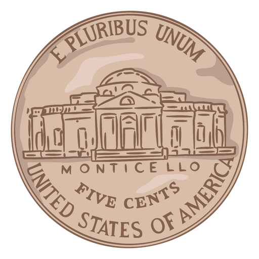
Coin illustration nickel tail usa PNG Design
Choose a folder
All favorites
Create new
Save
Coin illustration nickel tail usa PNG Design
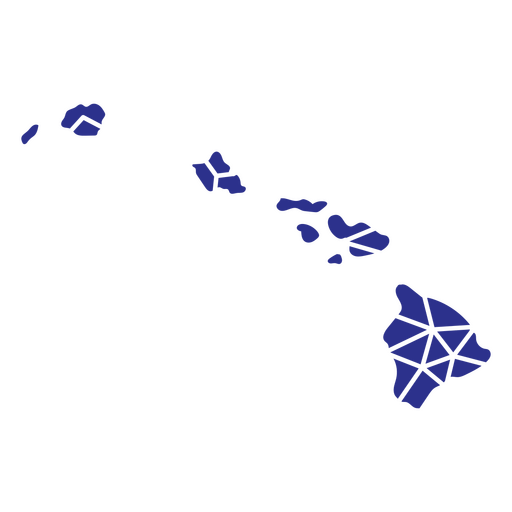
Hawaii geometric states PNG Design
Choose a folder
All favorites
Create new
Save
Hawaii geometric states PNG Design
Origami folded usa banner PNG Design
Choose a folder
All favorites
Create new
Save
Origami folded usa banner PNG Design
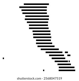
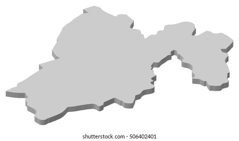
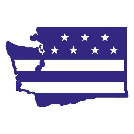
Washington duotone states PNG Design
Choose a folder
All favorites
Create new
Save
Washington duotone states PNG Design
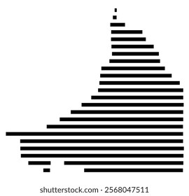
Wyoming duotone states PNG Design
Choose a folder
All favorites
Create new
Save
Wyoming duotone states PNG Design
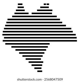
Connecticut duotone states PNG Design
Choose a folder
All favorites
Create new
Save
Connecticut duotone states PNG Design
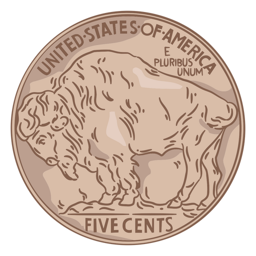
Coin illustration buffalo tail usa PNG Design
Choose a folder
All favorites
Create new
Save
Coin illustration buffalo tail usa PNG Design
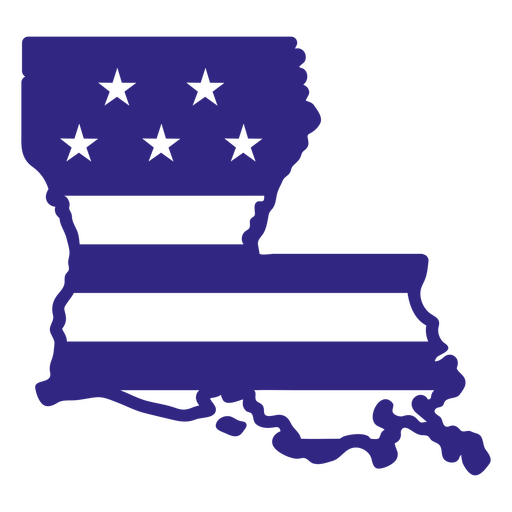
Louisiana duotone states PNG Design
Choose a folder
All favorites
Create new
Save
Louisiana duotone states PNG Design
Nevada duotone states PNG Design
Choose a folder
All favorites
Create new
Save
Nevada duotone states PNG Design
Georgia duotone states PNG Design
Choose a folder
All favorites
Create new
Save
Georgia duotone states PNG Design
Utah duotone states PNG Design
Choose a folder
All favorites
Create new
Save
Utah duotone states PNG Design
Illinois duotone states PNG Design
Choose a folder
All favorites
Create new
Save
Illinois duotone states PNG Design
North carolina mandala states PNG Design
Choose a folder
All favorites
Create new
Save
North carolina mandala states PNG Design
Honor veteran usa flag badge PNG Design
Choose a folder
All favorites
Create new
Save
Honor veteran usa flag badge PNG Design
Waving united states flag stroke PNG Design
Choose a folder
All favorites
Create new
Save
Waving united states flag stroke PNG Design
Premium
Patriotic Blue Icons USA
Choose a folder
All favorites
Create new
Save
Patriotic Blue Icons USA
Premium
Usa badge emblem PNG Design
Choose a folder
All favorites
Create new
Save
Usa badge emblem PNG Design
Usa flag arrowhead ribbon PNG Design
Choose a folder
All favorites
Create new
Save
Usa flag arrowhead ribbon PNG Design
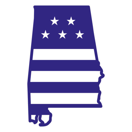
Alabama duotone states PNG Design
Choose a folder
All favorites
Create new
Save
Alabama duotone states PNG Design
Bald eagle usa stroke PNG Design
Choose a folder
All favorites
Create new
Save
Bald eagle usa stroke PNG Design
United states cockade PNG Design
Choose a folder
All favorites
Create new
Save
United states cockade PNG Design
United states 4th of july badge PNG Design
Choose a folder
All favorites
Create new
Save
United states 4th of july badge PNG Design
Vermont duotone states PNG Design
Choose a folder
All favorites
Create new
Save
Vermont duotone states PNG Design
States mandala virginia PNG Design
Choose a folder
All favorites
Create new
Save
States mandala virginia PNG Design
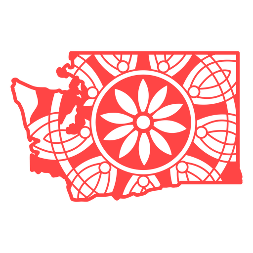
Washington mandala states PNG Design
Choose a folder
All favorites
Create new
Save
Washington mandala states PNG Design
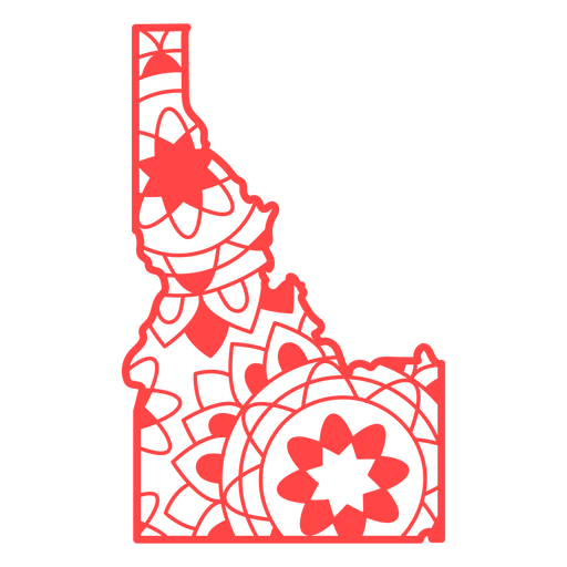
States mandala idaho PNG Design
Choose a folder
All favorites
Create new
Save
States mandala idaho PNG Design
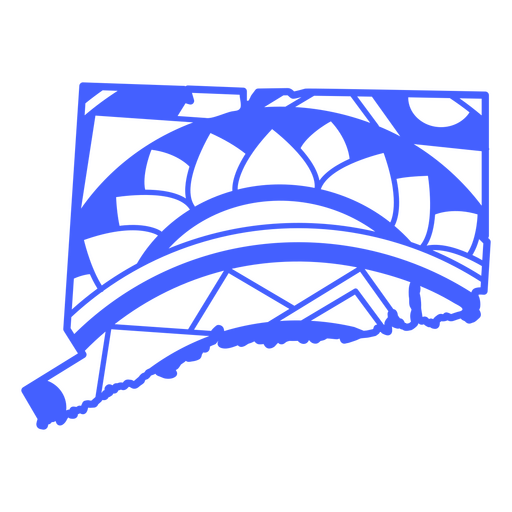
States mandala connecticut PNG Design
Choose a folder
All favorites
Create new
Save
States mandala connecticut PNG Design
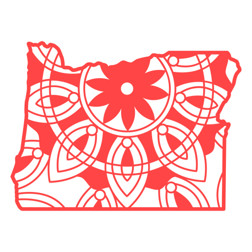
States mandala oregon PNG Design
Choose a folder
All favorites
Create new
Save
States mandala oregon PNG Design
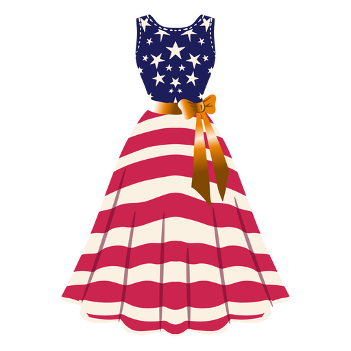
United states patterned dress illustration PNG Design
Choose a folder
All favorites
Create new
Save
United states patterned dress illustration PNG Design
Usa bald eagle stroke PNG Design
Choose a folder
All favorites
Create new
Save
Usa bald eagle stroke PNG Design
Waving united states flag icon PNG Design
Choose a folder
All favorites
Create new
Save
Waving united states flag icon PNG Design
Crossed usa flags element PNG Design
Choose a folder
All favorites
Create new
Save
Crossed usa flags element PNG Design
Usa flag oval label PNG Design
Choose a folder
All favorites
Create new
Save
Usa flag oval label PNG Design
Massachusetts duotone states PNG Design
Choose a folder
All favorites
Create new
Save
Massachusetts duotone states PNG Design
Delaware duotone states PNG Design
Choose a folder
All favorites
Create new
Save
Delaware duotone states PNG Design
Nebraska duotone states PNG Design
Choose a folder
All favorites
Create new
Save
Nebraska duotone states PNG Design
Iowa duotone states PNG Design
Choose a folder
All favorites
Create new
Save
Iowa duotone states PNG Design
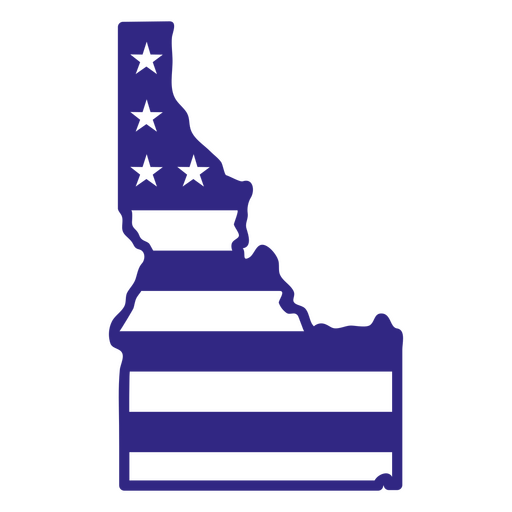
Idaho duotone states PNG Design
Choose a folder
All favorites
Create new
Save
Idaho duotone states PNG Design
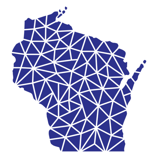
Wisconsin geometric states PNG Design
Choose a folder
All favorites
Create new
Save
Wisconsin geometric states PNG Design
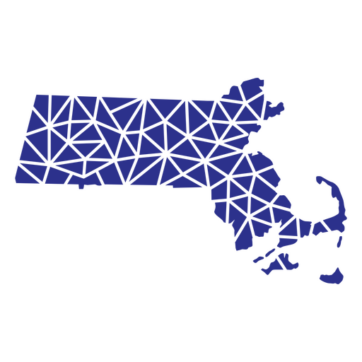
Massachusetts geometric states PNG Design
Choose a folder
All favorites
Create new
Save
Massachusetts geometric states PNG Design
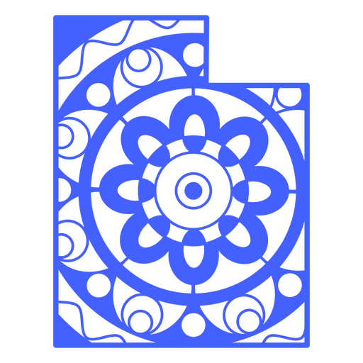
Utah mandala states PNG Design
Choose a folder
All favorites
Create new
Save
Utah mandala states PNG Design
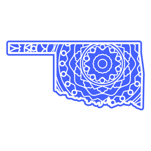
Oklahoma mandala states PNG Design
Choose a folder
All favorites
Create new
Save
Oklahoma mandala states PNG Design
Michigan mandala states PNG Design
Choose a folder
All favorites
Create new
Save
Michigan mandala states PNG Design
Maine mandala states PNG Design
Choose a folder
All favorites
Create new
Save
Maine mandala states PNG Design
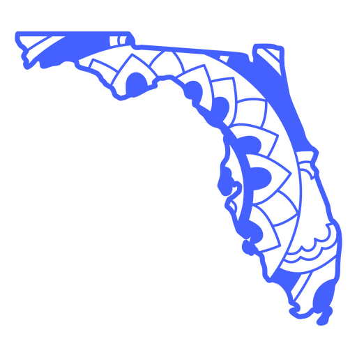
States mandala florida PNG Design
Choose a folder
All favorites
Create new
Save
States mandala florida PNG Design
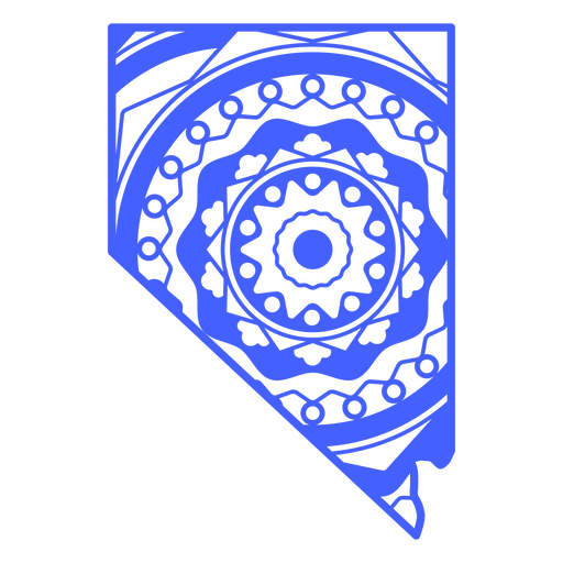
States mandala nevada PNG Design
Choose a folder
All favorites
Create new
Save
States mandala nevada PNG Design
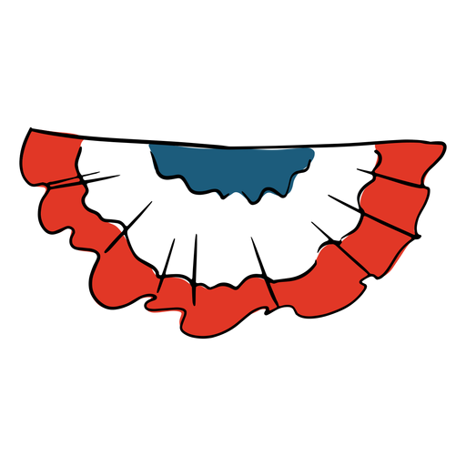
American flag hand drawn PNG Design
Choose a folder
All favorites
Create new
Save
American flag hand drawn PNG Design
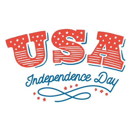
Usa independence day lettering PNG Design
Choose a folder
All favorites
Create new
Save
Usa independence day lettering PNG Design
Boost Your Business
With The Leading Graphic Platform For Merch.
SEE PLANS
Next
of 69
prev page
next page