Design Library
New Merch Designs
T-Shirts
Vectors
Trending Merch Designs
PNGs & SVGs
Mockups
T-Shirt PSD Templates
Explore Designs
KDP Designs
Posters
Mugs
Phone Cases
Tote Bags
Pillows
Design Tools
Merch Designer
New!
Mockup Generator
AI Design Generator
Image Vectorizer
Quote Generator
T-Shirt Maker (Old)
Resources
Merch Digest
Blog
Help Center
Learn About Merch
Feedback
Corporate Solutions
Enterprise
API Access
Design Studio
Bulk Design Production
Pricing
Loading...
Sign Up
Login
All
continentes
Design Library
New Merch Designs
T-Shirts
Vectors
Trending Merch Designs
PNGs & SVGs
Mockups
T-Shirt PSD Templates
Explore Designs
KDP Designs
Posters
Mugs
Phone Cases
Tote Bags
Pillows
Design Tools
Merch Designer
New!
Mockup Generator
AI Design Generator
Image Vectorizer
Quote Generator
T-Shirt Maker (Old)
Resources
Merch Digest
Blog
Help Center
Learn About Merch
Feedback
Corporate Solutions
Enterprise
API Access
Design Studio
Bulk Design Production
PLANS
All
continentes
106 continentes designs graphics for t-shirt and print on demand merch
Download continentes t-shirt designs and other merch graphics like book covers, phone cases, tote bags and more.
Sort by
Most relevant
Sponsored results by
Get 15% off with code: VEXELS15
Show more
Premium
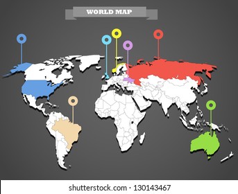
World map with continent pointer PNG Design
Choose a folder
All favorites
Create new
Save
World map with continent pointer PNG Design
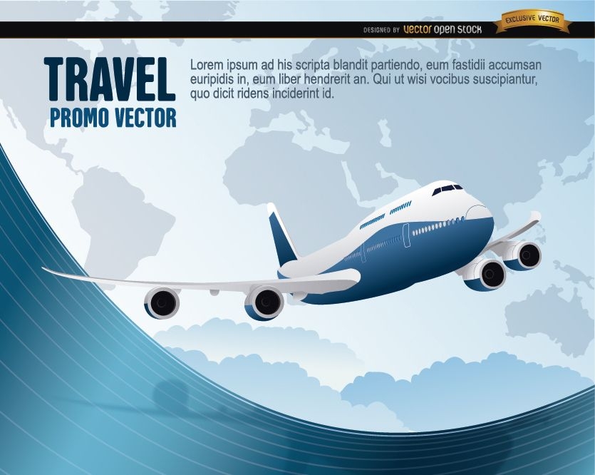
World Travel plane wavy
Choose a folder
All favorites
Create new
Save
World Travel plane wavy
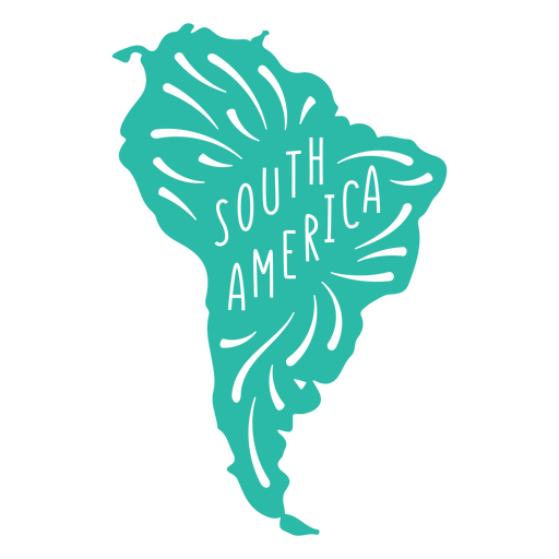
South America Continent Map PNG Design
Choose a folder
All favorites
Create new
Save
South America Continent Map PNG Design
Asia Continent Map PNG Design
Choose a folder
All favorites
Create new
Save
Asia Continent Map PNG Design
Grunge World Background
Choose a folder
All favorites
Create new
Save
Grunge World Background
World travel transport means vector
Choose a folder
All favorites
Create new
Save
World travel transport means vector
Planet Travel Stamps
Choose a folder
All favorites
Create new
Save
Planet Travel Stamps
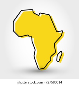
African Continent Map PNG Design
Choose a folder
All favorites
Create new
Save
African Continent Map PNG Design
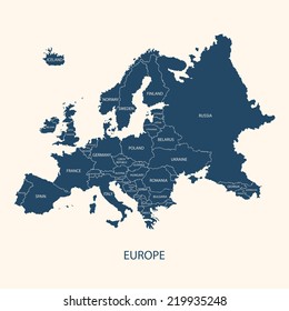
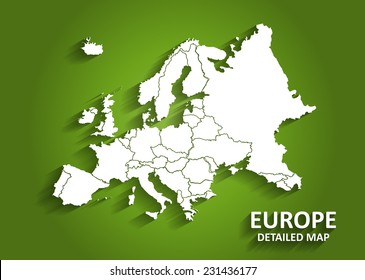
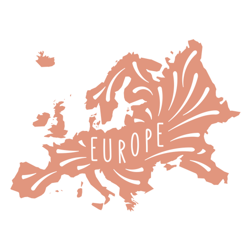
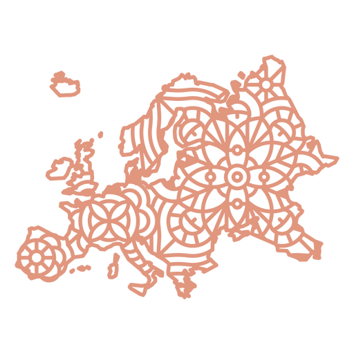
European Continent Map PNG Design
Choose a folder
All favorites
Create new
Save
European Continent Map PNG Design
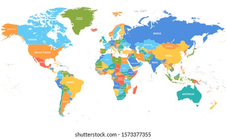
World map flat PNG Design
Choose a folder
All favorites
Create new
Save
World map flat PNG Design
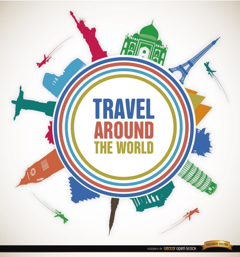
Travel world landmarks promo
Choose a folder
All favorites
Create new
Save
Travel world landmarks promo
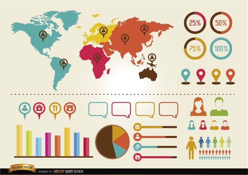
Social infographics resources pack
Choose a folder
All favorites
Create new
Save
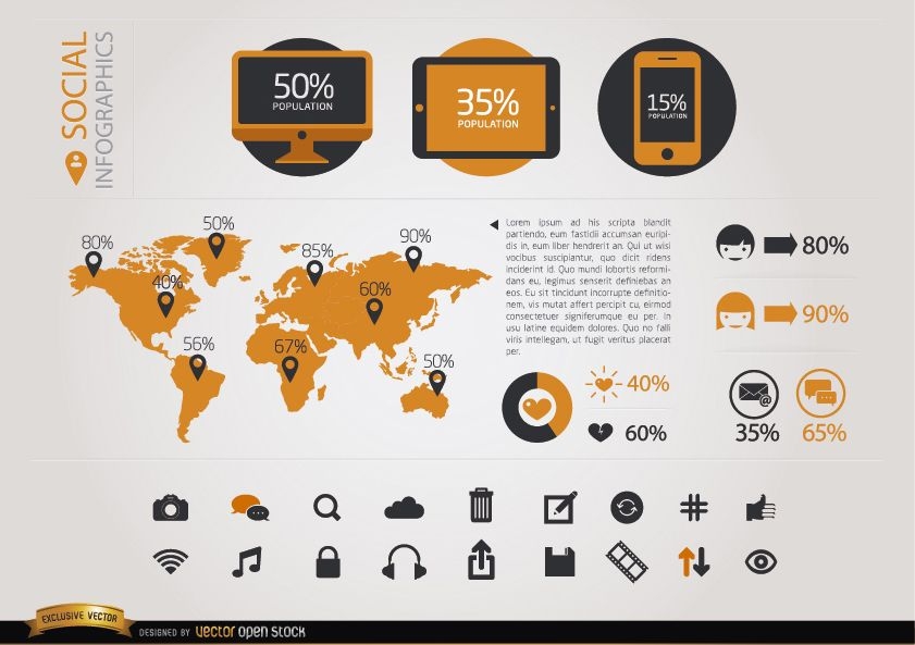
Social infographics resources pack
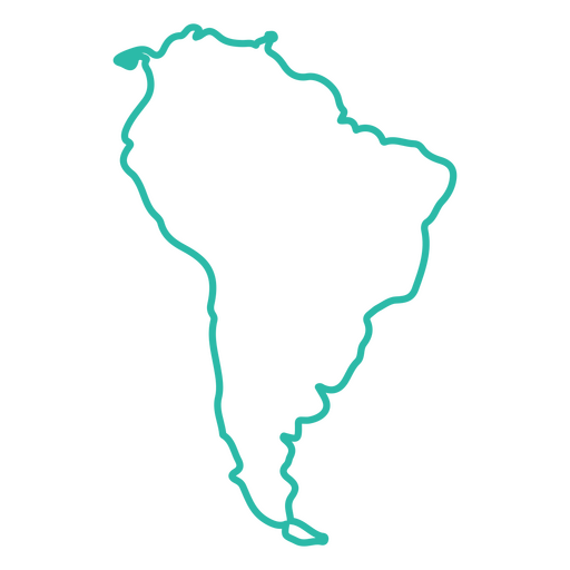
South America Continent Stroke Map PNG Design
Choose a folder
All favorites
Create new
Save
South America Continent Stroke Map PNG Design
Monuments around world circle logo
Choose a folder
All favorites
Create new
Save
Monuments around world circle logo
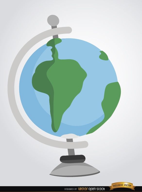
Desktop earth globe cartoon
Choose a folder
All favorites
Create new
Save
Desktop earth globe cartoon
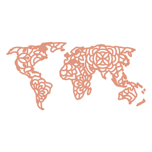
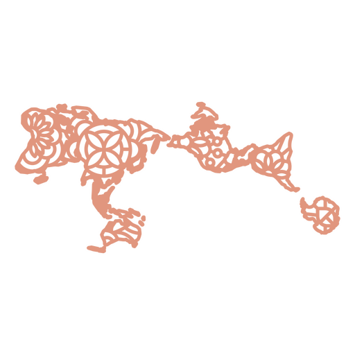
Mandala World Map PNG Design
Choose a folder
All favorites
Create new
Save
Mandala World Map PNG Design
Rio 2016 Olympics official background
Choose a folder
All favorites
Create new
Save
Rio 2016 Olympics official background
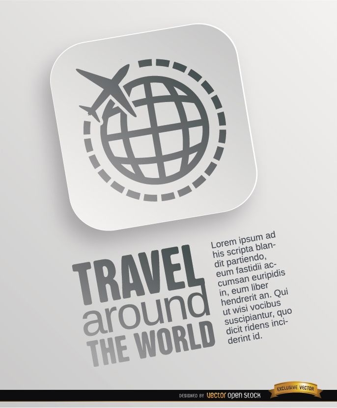
2 Travel around world symbols
Choose a folder
All favorites
Create new
Save
2 Travel around world symbols
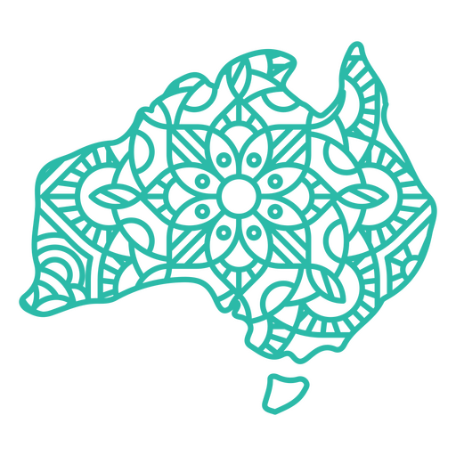
Australia Mandala Map PNG Design
Choose a folder
All favorites
Create new
Save
Australia Mandala Map PNG Design
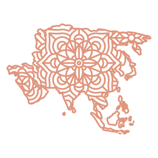
Asia Mandala Map PNG Design
Choose a folder
All favorites
Create new
Save
Asia Mandala Map PNG Design
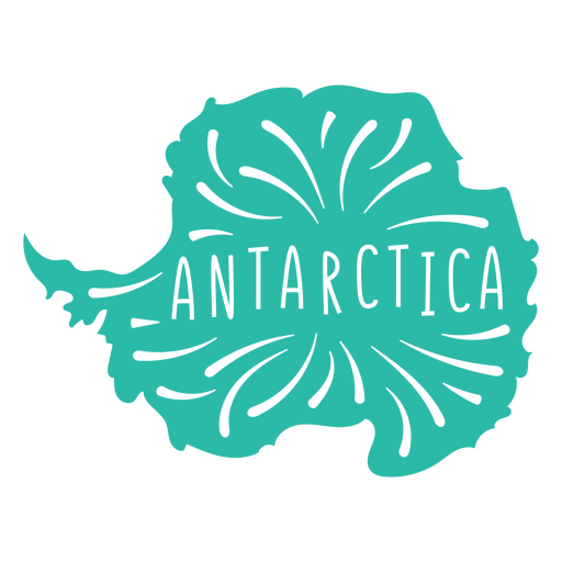
Antartica Continent Map PNG Design
Choose a folder
All favorites
Create new
Save
Antartica Continent Map PNG Design
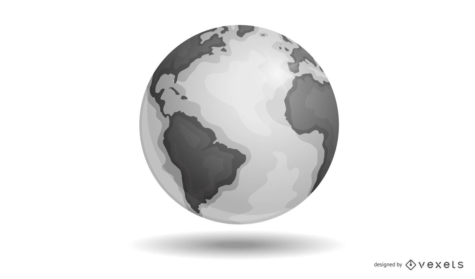
Vector Earth
Choose a folder
All favorites
Create new
Save
Vector Earth
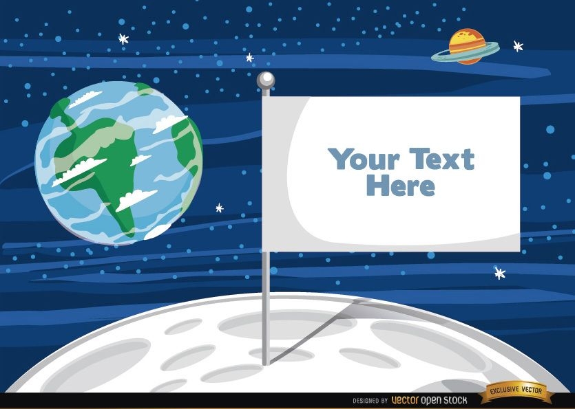
Flag on the moon with text
Choose a folder
All favorites
Create new
Save
Flag on the moon with text
Antartica Continent Stroke Map PNG Design
Choose a folder
All favorites
Create new
Save
Antartica Continent Stroke Map PNG Design
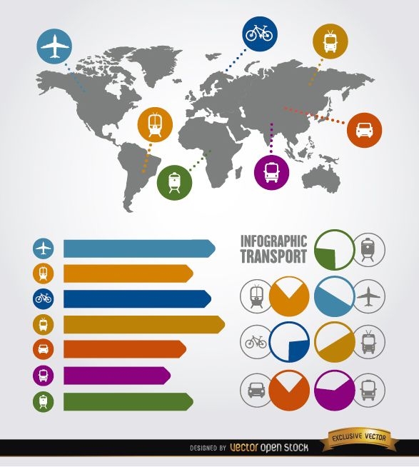
Travel infographic transport elements
Choose a folder
All favorites
Create new
Save
Travel infographic transport elements
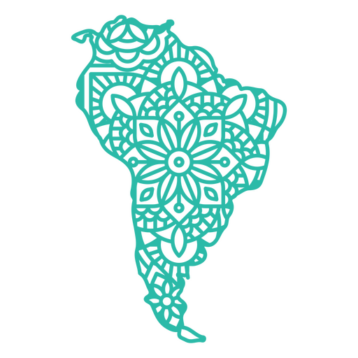
Mandala South America Map PNG Design
Choose a folder
All favorites
Create new
Save
Mandala South America Map PNG Design
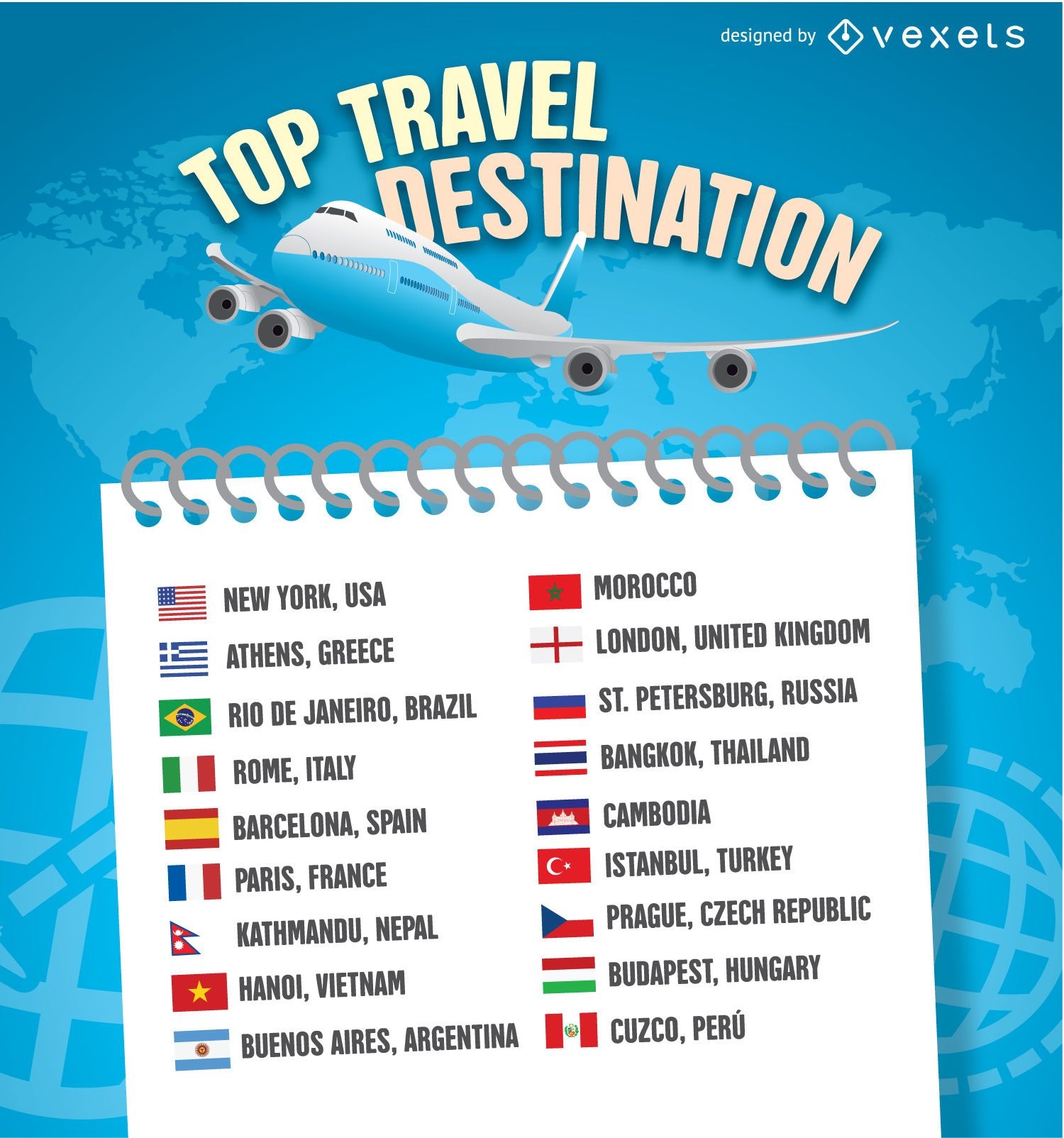
2016 Travel destination list template
Choose a folder
All favorites
Create new
Save
2016 Travel destination list template
Social infographics Elements
Choose a folder
All favorites
Create new
Save
Social infographics Elements
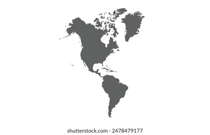
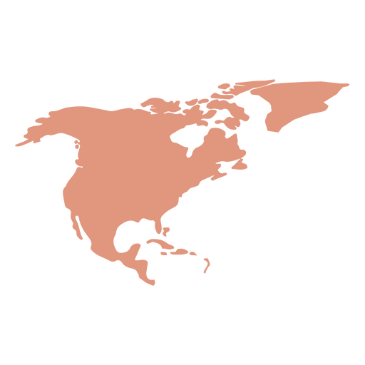
North America Map Silhouette PNG Design
Choose a folder
All favorites
Create new
Save
North America Map Silhouette PNG Design
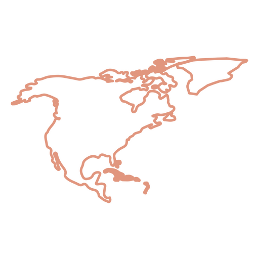
North America Stroke Map PNG Design
Choose a folder
All favorites
Create new
Save
North America Stroke Map PNG Design
World travel symbol illustration
Choose a folder
All favorites
Create new
Save
World travel symbol illustration
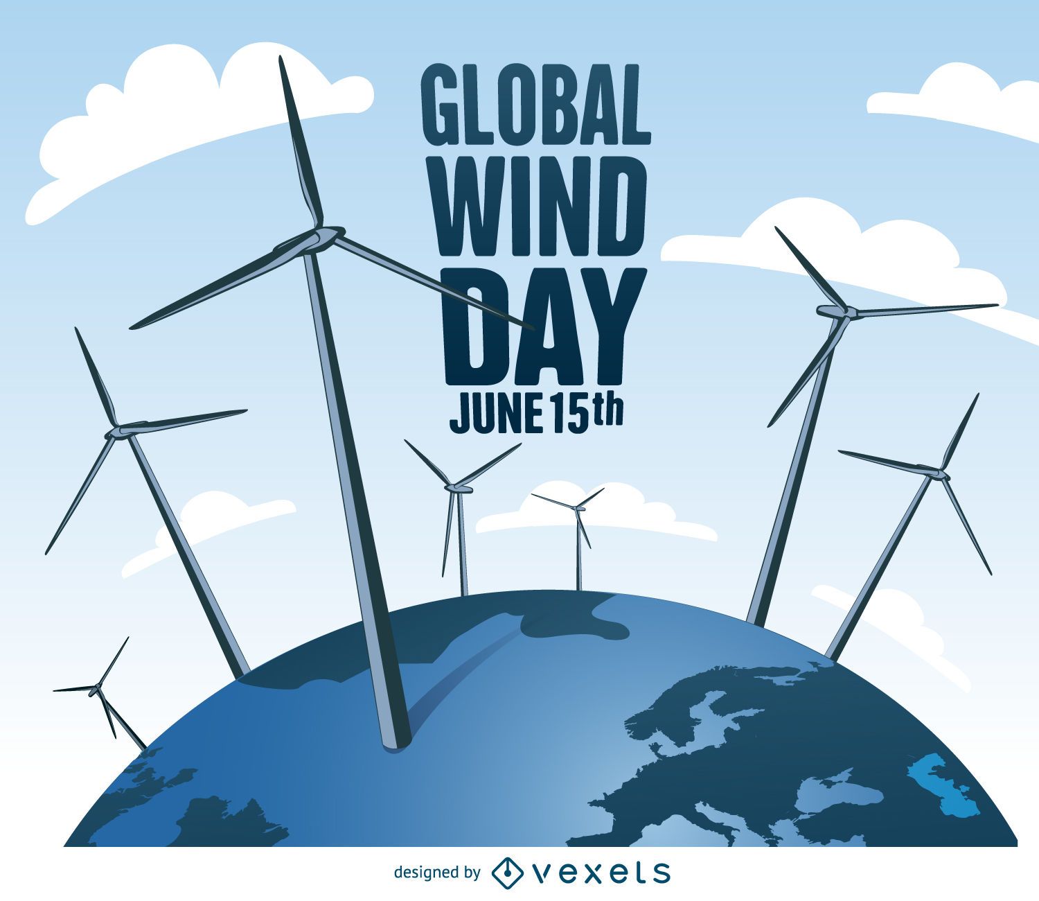
Global Wind Day with windmills design
Choose a folder
All favorites
Create new
Save
Global Wind Day with windmills design
Australia Mandala Stroke Map PNG Design
Choose a folder
All favorites
Create new
Save
Australia Mandala Stroke Map PNG Design
North america mandala map PNG Design
Choose a folder
All favorites
Create new
Save
North america mandala map PNG Design
Earth globe hand drawn PNG Design
Choose a folder
All favorites
Create new
Save
Earth globe hand drawn PNG Design
World travel symbol promo
Choose a folder
All favorites
Create new
Save
World travel symbol promo
Vacations traveling world landmarks background
Choose a folder
All favorites
Create new
Save
Vacations traveling world landmarks background
North America Geometric Map PNG Design
Choose a folder
All favorites
Create new
Save
North America Geometric Map PNG Design
Europe Geometric Map PNG Design
Choose a folder
All favorites
Create new
Save
Europe Geometric Map PNG Design
World cut out map PNG Design
Choose a folder
All favorites
Create new
Save
World cut out map PNG Design
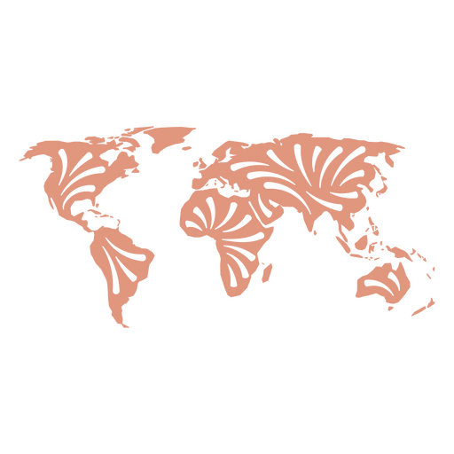
World geometric map PNG Design
Choose a folder
All favorites
Create new
Save
World geometric map PNG Design
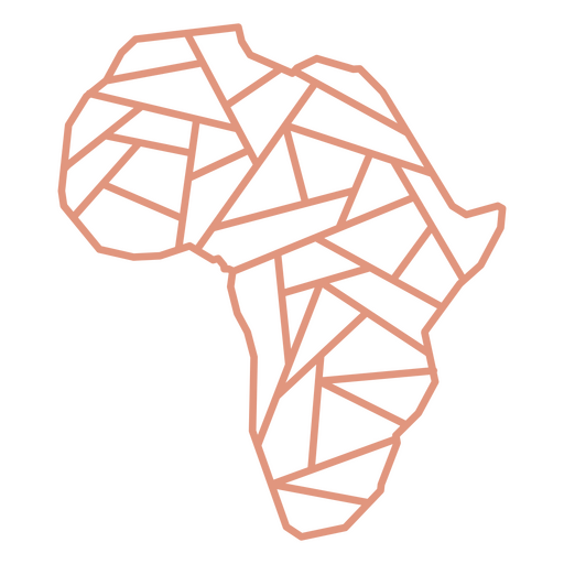
Africa contour stroke PNG Design
Choose a folder
All favorites
Create new
Save
Africa contour stroke PNG Design
World mandala map PNG Design
Choose a folder
All favorites
Create new
Save
World mandala map PNG Design
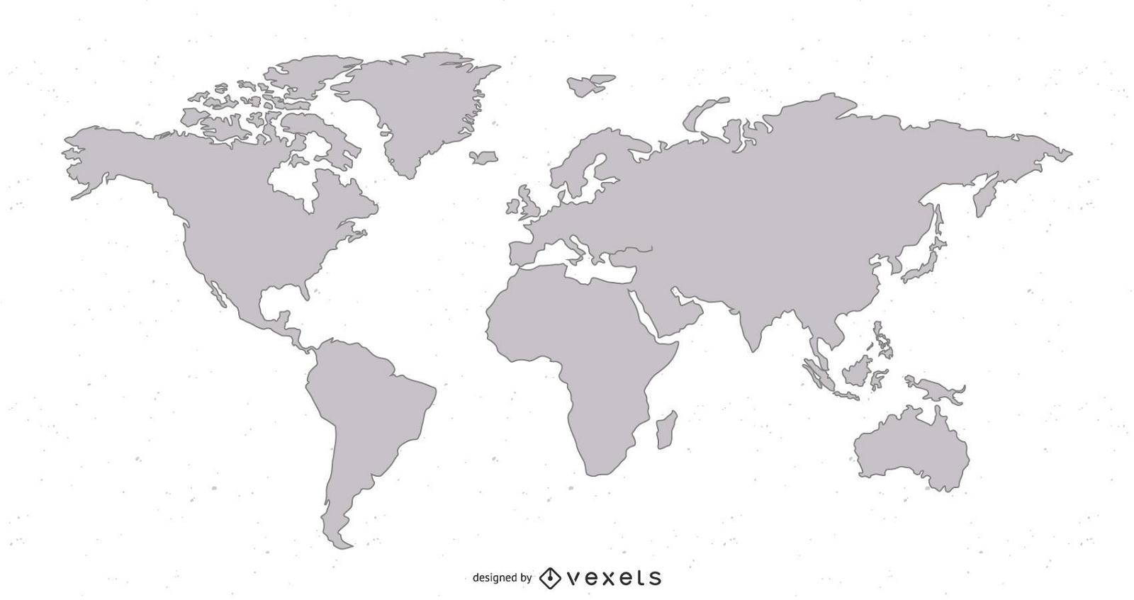
World stroke map PNG Design
Choose a folder
All favorites
Create new
Save
World stroke map PNG Design
Edit Online
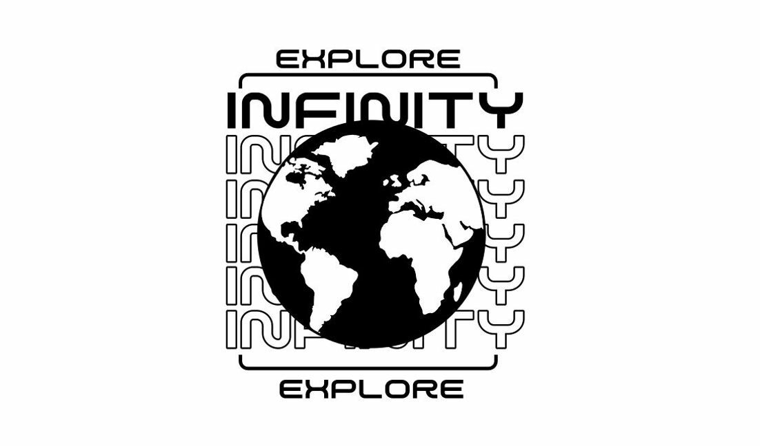
Explore infinity globe design t-shirt design template
Choose a folder
All favorites
Create new
Save
Explore infinity globe design t-shirt design template
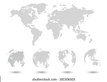
Earth Map Vector
Choose a folder
All favorites
Create new
Save
Earth Map Vector
Happy earth illustration design
Choose a folder
All favorites
Create new
Save
Happy earth illustration design
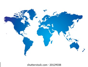
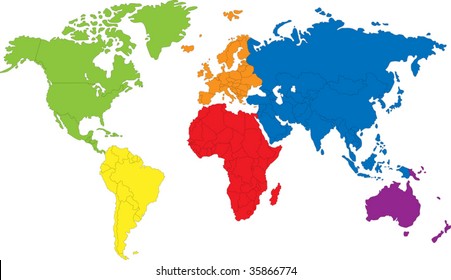
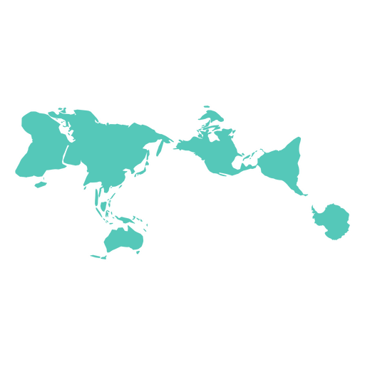
World Map Vector
Choose a folder
All favorites
Create new
Save
World Map Vector
Premium
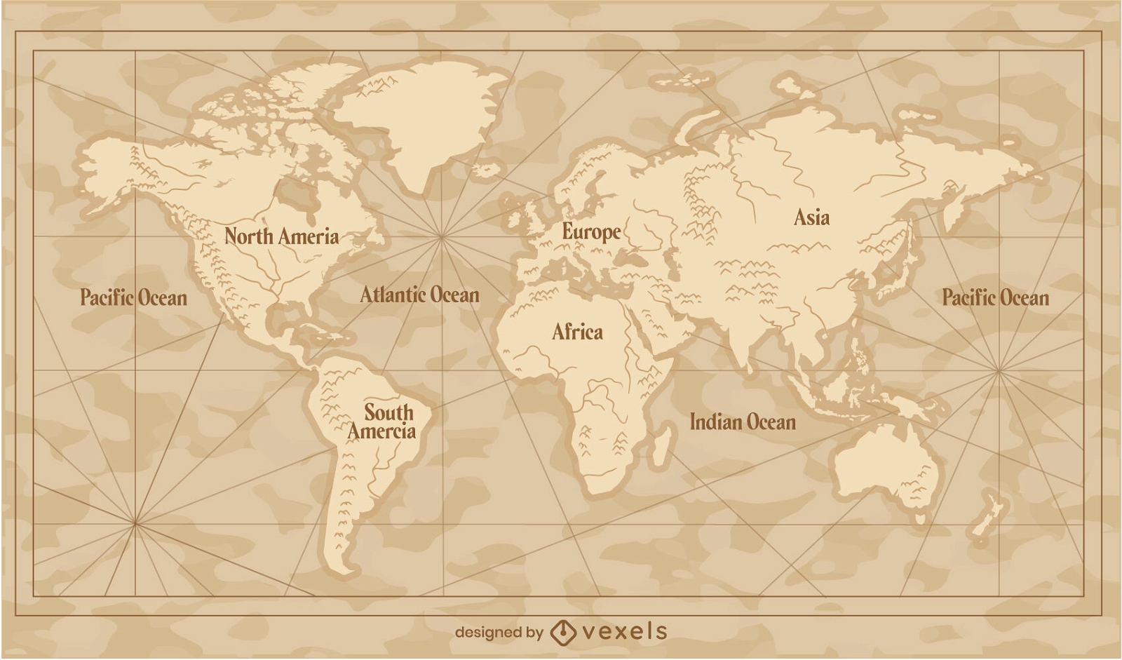
Vintage world map traditional illustration
Choose a folder
All favorites
Create new
Save
Vintage world map traditional illustration
world map illustration design
Choose a folder
All favorites
Create new
Save
world map illustration design
Boost Your Business
With The Leading Graphic Platform For Merch.
SEE PLANS
Next
of 3
prev page
next page