Design Library
New Merch Designs
T-Shirts
Vectors
Trending Merch Designs
PNGs & SVGs
Mockups
T-Shirt PSD Templates
Explore Designs
KDP Designs
Posters
Mugs
Phone Cases
Tote Bags
Pillows
Design Tools
Merch Designer
New!
Mockup Generator
AI Design Generator
Image Vectorizer
Quote Generator
T-Shirt Maker (Old)
Resources
Merch Digest
Blog
Help Center
Learn About Merch
Feedback
Corporate Solutions
Enterprise
API Access
Design Studio
Bulk Design Production
Pricing
Loading...
Sign Up
Login
All
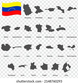
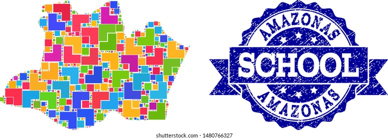
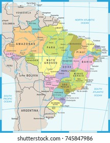
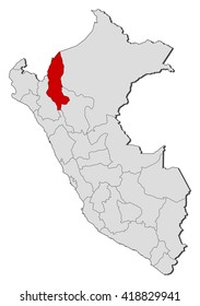
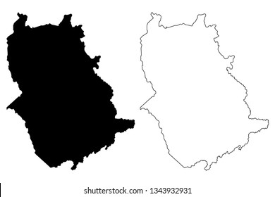
amazonas
Design Library
New Merch Designs
T-Shirts
Vectors
Trending Merch Designs
PNGs & SVGs
Mockups
T-Shirt PSD Templates
Explore Designs
KDP Designs
Posters
Mugs
Phone Cases
Tote Bags
Pillows
Design Tools
Merch Designer
New!
Mockup Generator
AI Design Generator
Image Vectorizer
Quote Generator
T-Shirt Maker (Old)
Resources
Merch Digest
Blog
Help Center
Learn About Merch
Feedback
Corporate Solutions
Enterprise
API Access
Design Studio
Bulk Design Production
PLANS
All
amazonas
1161 amazonas designs graphics for t-shirt and print on demand merch
Download amazonas t-shirt designs and other merch graphics like book covers, phone cases, tote bags and more.
Sort by
Most relevant
Sponsored results by
Get 15% off with code: VEXELS15
Show more
Print ready
for Merch
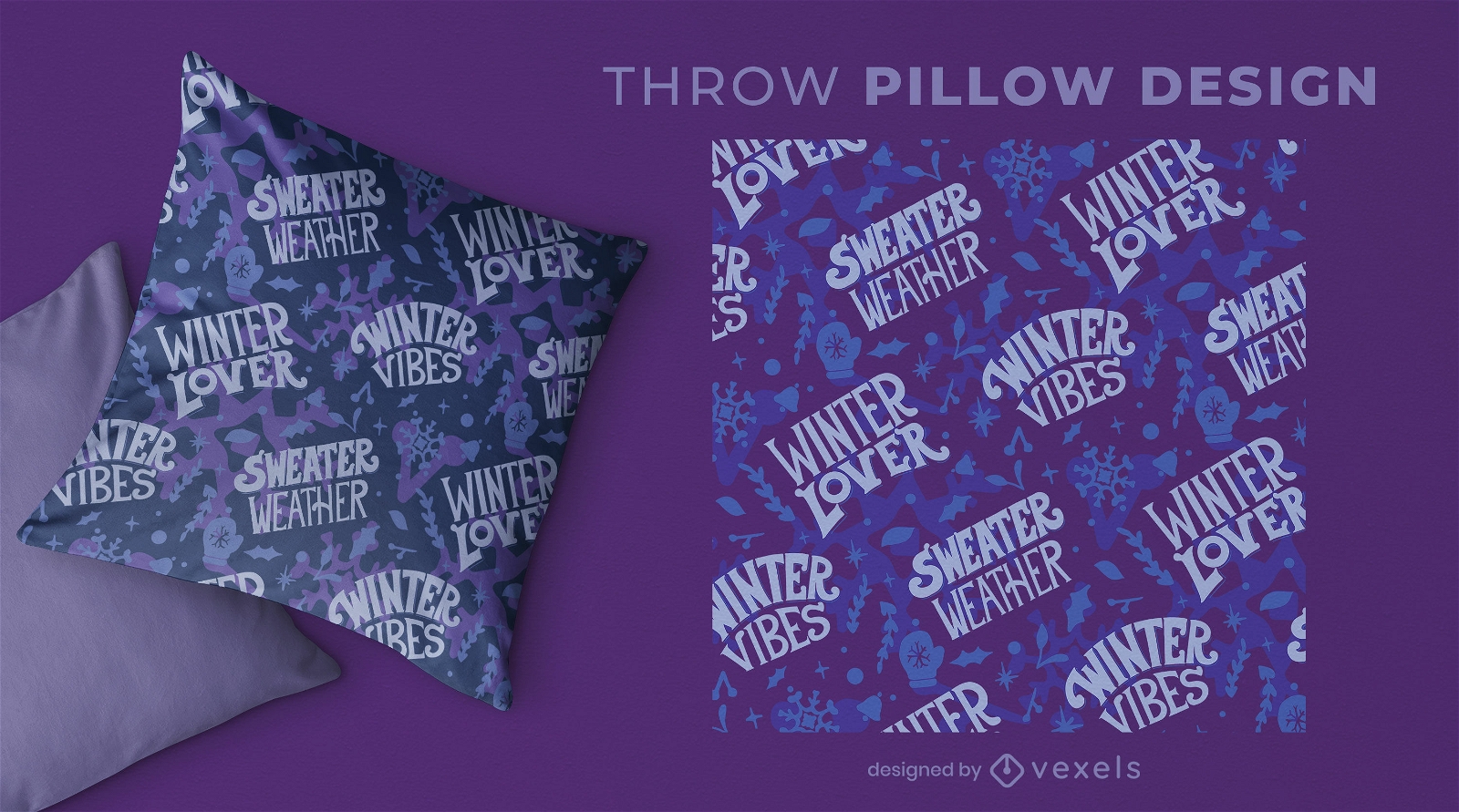
Winter pattern throw pillow design
Choose a folder
All favorites
Create new
Save
Winter pattern throw pillow design
Editable text
Print ready
for Merch
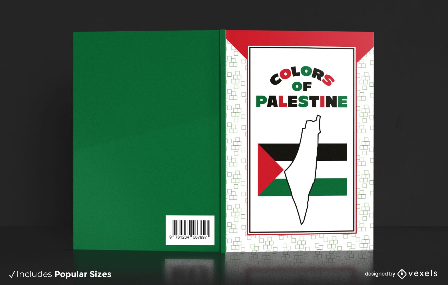
Palestine colors book cover design
Choose a folder
All favorites
Create new
Save
Palestine colors book cover design
Print ready
for Merch
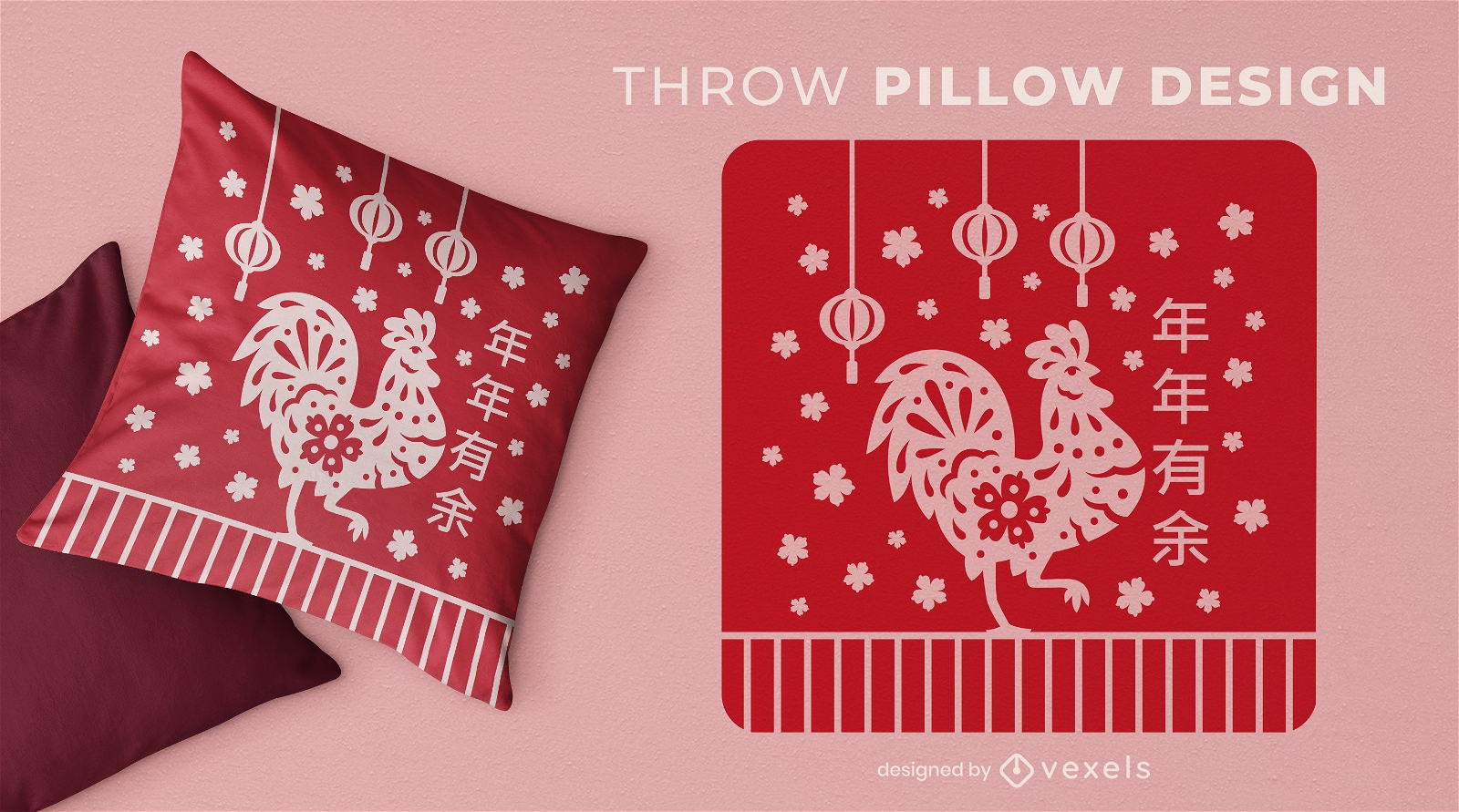
Chinese New Year rooster throw pillow design
Choose a folder
All favorites
Create new
Save
Chinese New Year rooster throw pillow design
Print ready
for Merch
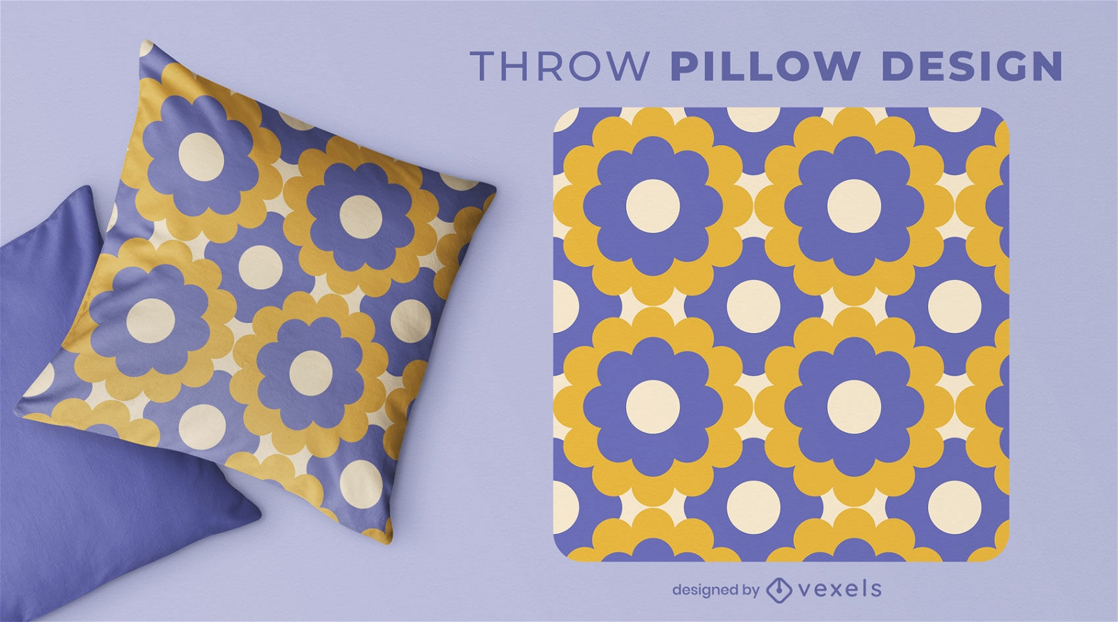
Floral vintage patterns throw pillow desig
Choose a folder
All favorites
Create new
Save
Floral vintage patterns throw pillow desig
Editable text
Print ready
for Merch
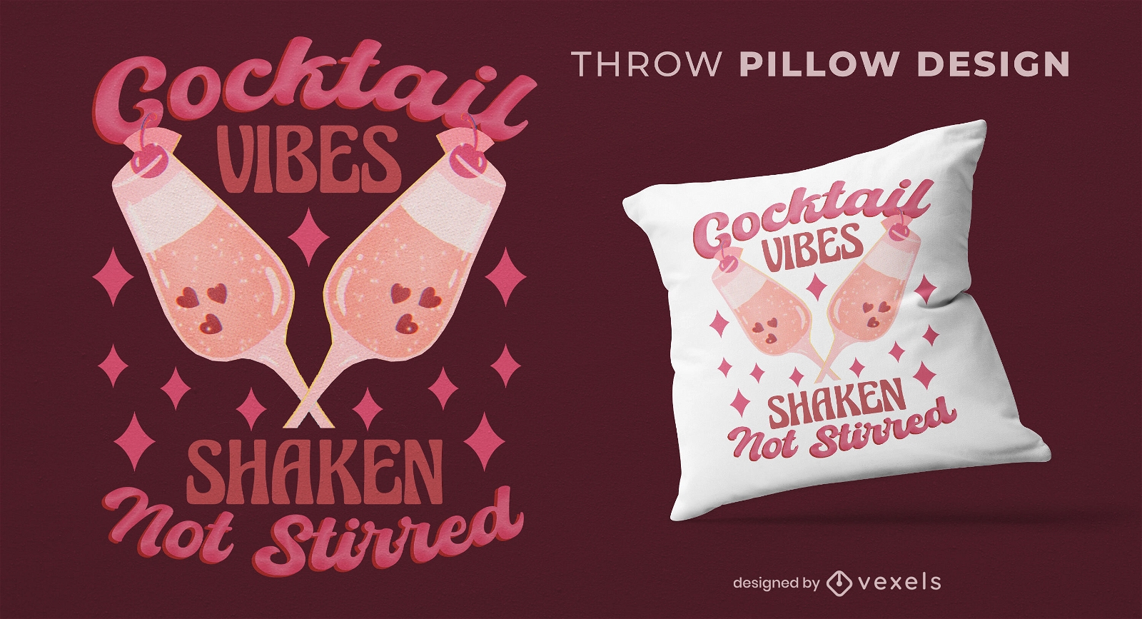
Cocktail vibes throw pillow design
Choose a folder
All favorites
Create new
Save
Cocktail vibes throw pillow design
Print ready
for Merch
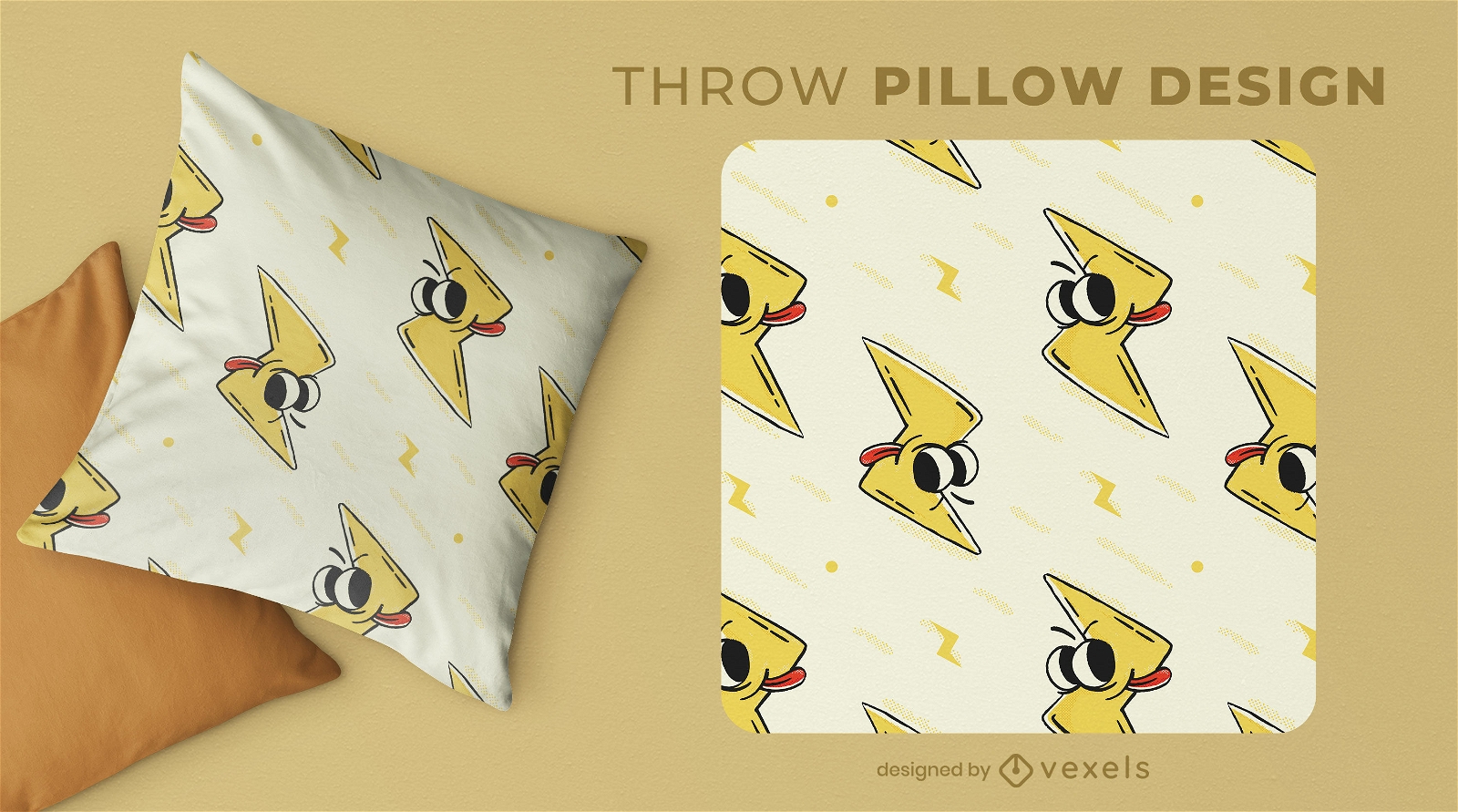
Thunderous expression throw pillow design
Choose a folder
All favorites
Create new
Save
Thunderous expression throw pillow design
Editable text
Print ready
for Merch
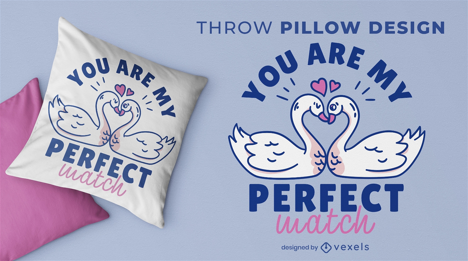
Romantic swans throw pillow design
Choose a folder
All favorites
Create new
Save
Romantic swans throw pillow design
Print ready
for Merch
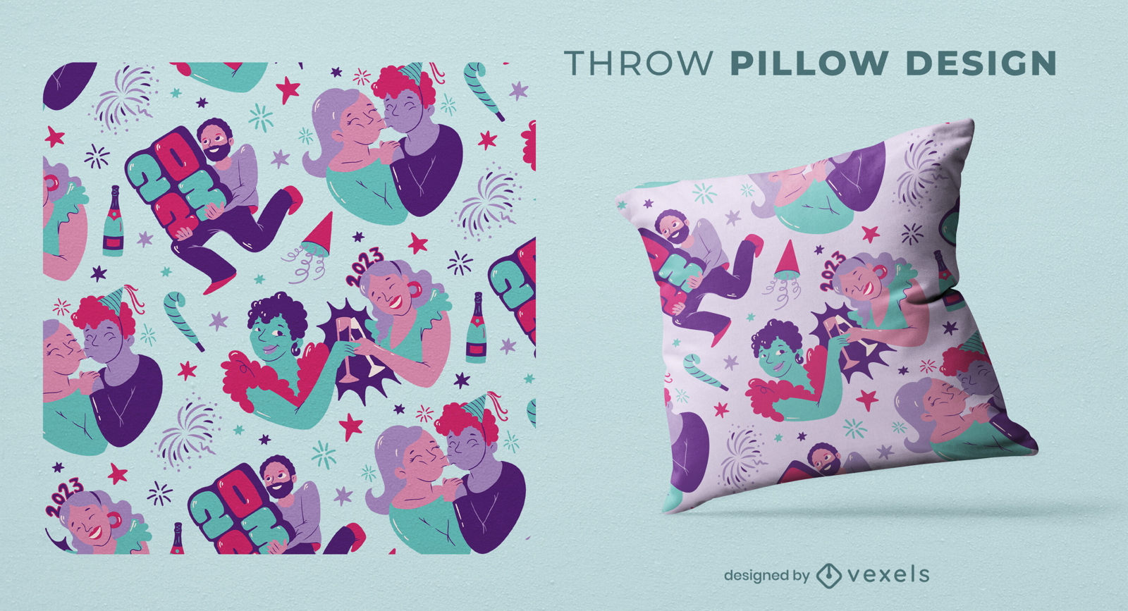
New year holiday party throw pillow design
Choose a folder
All favorites
Create new
Save
New year holiday party throw pillow design
Premium
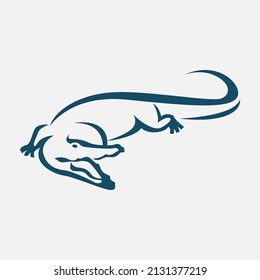
Crocodile alligator tail doodle PNG Design
Choose a folder
All favorites
Create new
Save
Crocodile alligator tail doodle PNG Design
Premium
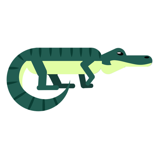
Crocodile alligator stripe jaws tail rounded flat PNG Design
Choose a folder
All favorites
Create new
Save
Crocodile alligator stripe jaws tail rounded flat PNG Design
Premium
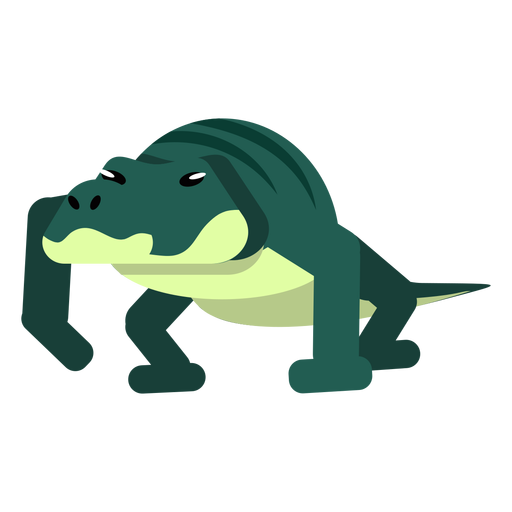
Crocodile tail alligator stripe jaws rounded flat PNG Design
Choose a folder
All favorites
Create new
Save
Crocodile tail alligator stripe jaws rounded flat PNG Design
Boost Your Business
With The Leading Graphic Platform For Merch.
SEE PLANS
of 24
prev page
next page