Design Library
New Merch Designs
T-Shirts
Vectors
Trending Merch Designs
PNGs & SVGs
Mockups
T-Shirt PSD Templates
Explore Designs
KDP Designs
Posters
Mugs
Phone Cases
Tote Bags
Pillows
Design Tools
Merch Designer
New!
Mockup Generator
AI Design Generator
Image Vectorizer
Quote Generator
T-Shirt Maker (Old)
Resources
Merch Digest
Blog
Help Center
Learn About Merch
Feedback
Corporate Solutions
Enterprise
API Access
Design Studio
Bulk Design Production
Pricing
Loading...
Sign Up
Login
All
amazonas
Design Library
New Merch Designs
T-Shirts
Vectors
Trending Merch Designs
PNGs & SVGs
Mockups
T-Shirt PSD Templates
Explore Designs
KDP Designs
Posters
Mugs
Phone Cases
Tote Bags
Pillows
Design Tools
Merch Designer
New!
Mockup Generator
AI Design Generator
Image Vectorizer
Quote Generator
T-Shirt Maker (Old)
Resources
Merch Digest
Blog
Help Center
Learn About Merch
Feedback
Corporate Solutions
Enterprise
API Access
Design Studio
Bulk Design Production
PLANS
All
amazonas
1161 amazonas designs graphics for t-shirt and print on demand merch
Download amazonas t-shirt designs and other merch graphics like book covers, phone cases, tote bags and more.
Sort by
Most relevant
Sponsored results by
Get 15% off with code: VEXELS15
Show more
Print ready
for Merch
Valentines day holiday cupid throw pillow design
Choose a folder
All favorites
Create new
Save
Valentines day holiday cupid throw pillow design
Print ready
for Merch
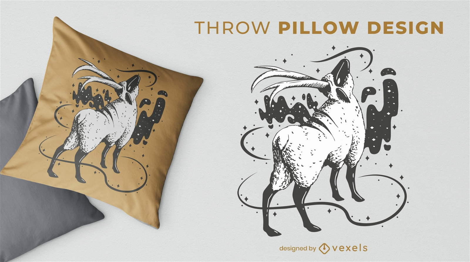
Magical sheep animal throw pillow design
Choose a folder
All favorites
Create new
Save
Magical sheep animal throw pillow design
Print ready
for Merch
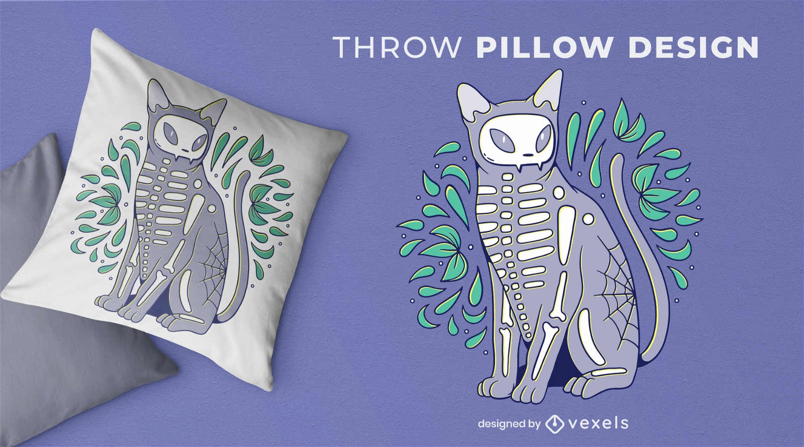
Skeleton cat animal throw pillow design
Choose a folder
All favorites
Create new
Save
Skeleton cat animal throw pillow design
Editable text
Print ready
for Merch
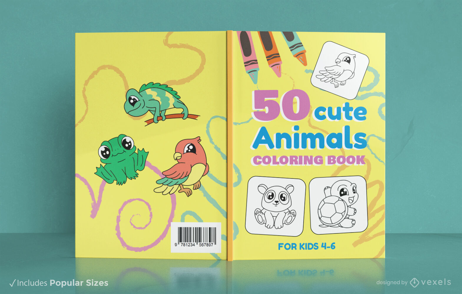
Children's animal coloring book design
Choose a folder
All favorites
Create new
Save
Children's animal coloring book design
Print ready
for Merch
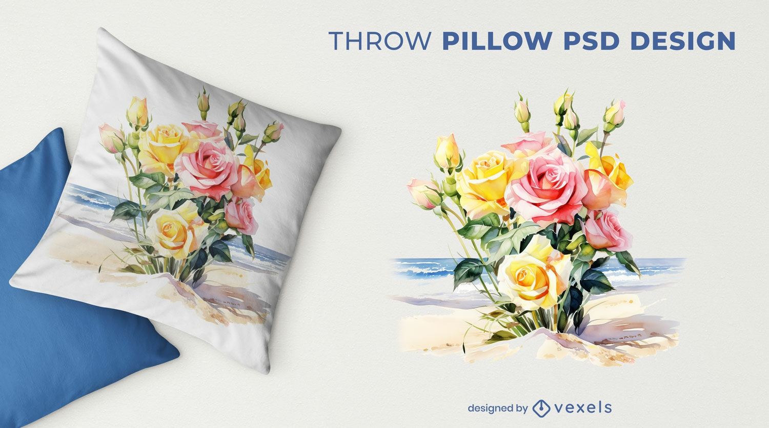
Roses in the beach throw pillow design
Choose a folder
All favorites
Create new
Save
Roses in the beach throw pillow design
Print ready
for Merch
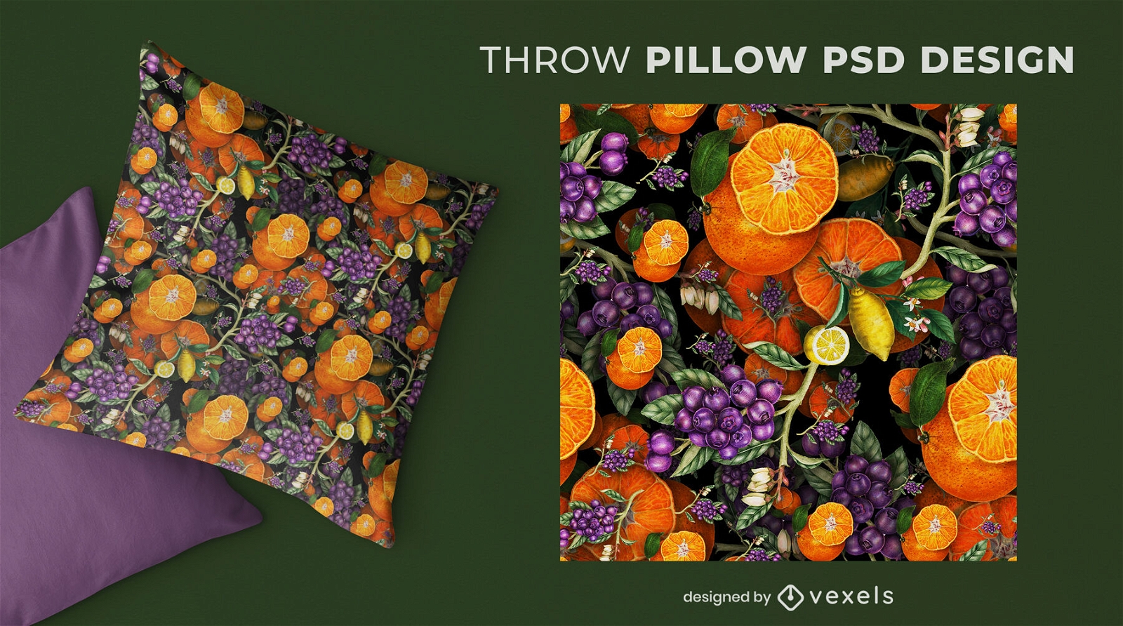
Blue berries and oranges throw pillow design
Choose a folder
All favorites
Create new
Save
Blue berries and oranges throw pillow design
Print ready
for Merch
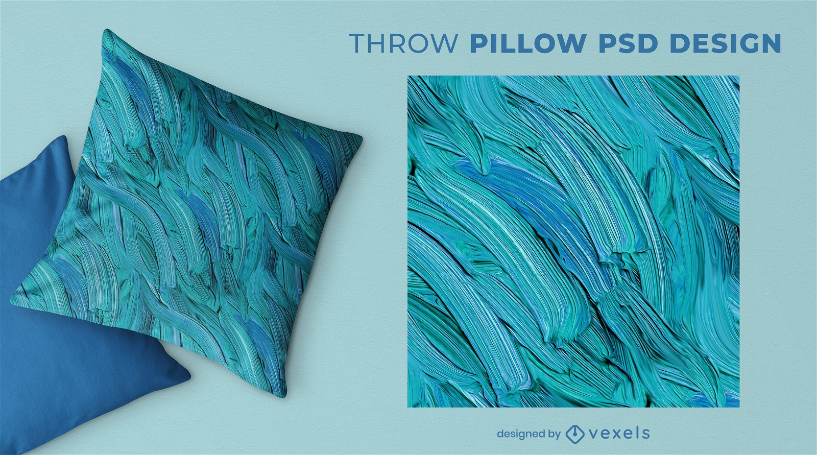
Blue oil paint throw pillow design
Choose a folder
All favorites
Create new
Save
Blue oil paint throw pillow design
Editable text
Print ready
Premium
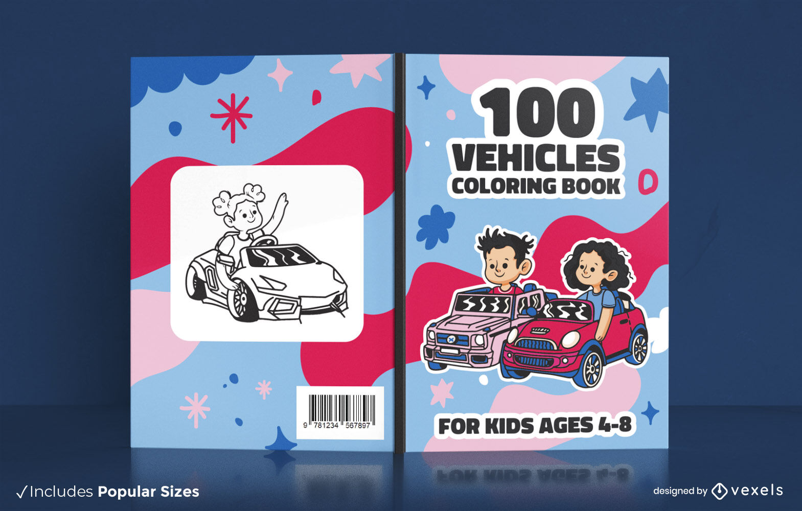
Children's vehicles coloring book cover design
Choose a folder
All favorites
Create new
Save
Children's vehicles coloring book cover design
Editable text
Print ready
for Merch
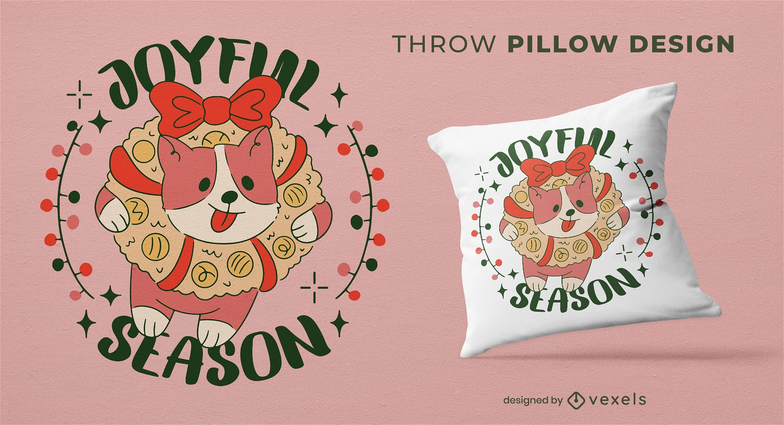
Christmas corgi dog t-shirt design
Choose a folder
All favorites
Create new
Save
Christmas corgi dog t-shirt design
Print ready
for Merch
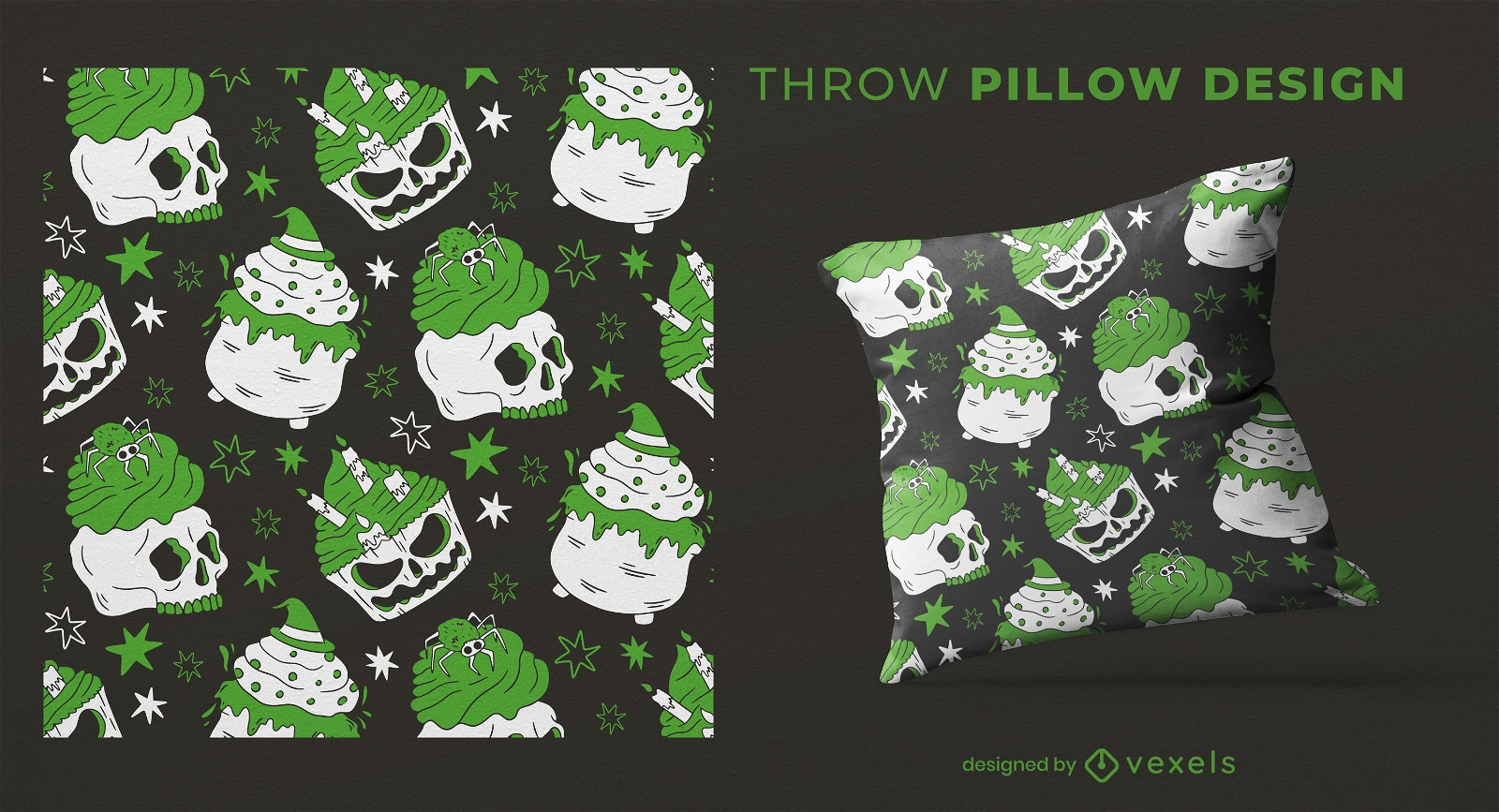
Halloween skull cupcakes throw pillow design
Choose a folder
All favorites
Create new
Save
Halloween skull cupcakes throw pillow design
Print ready
for Merch
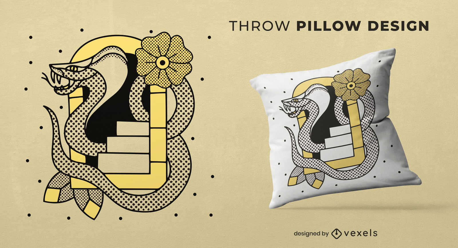
Snake and stairs tattoo throw pillow design
Choose a folder
All favorites
Create new
Save
Snake and stairs tattoo throw pillow design
Print ready
for Merch
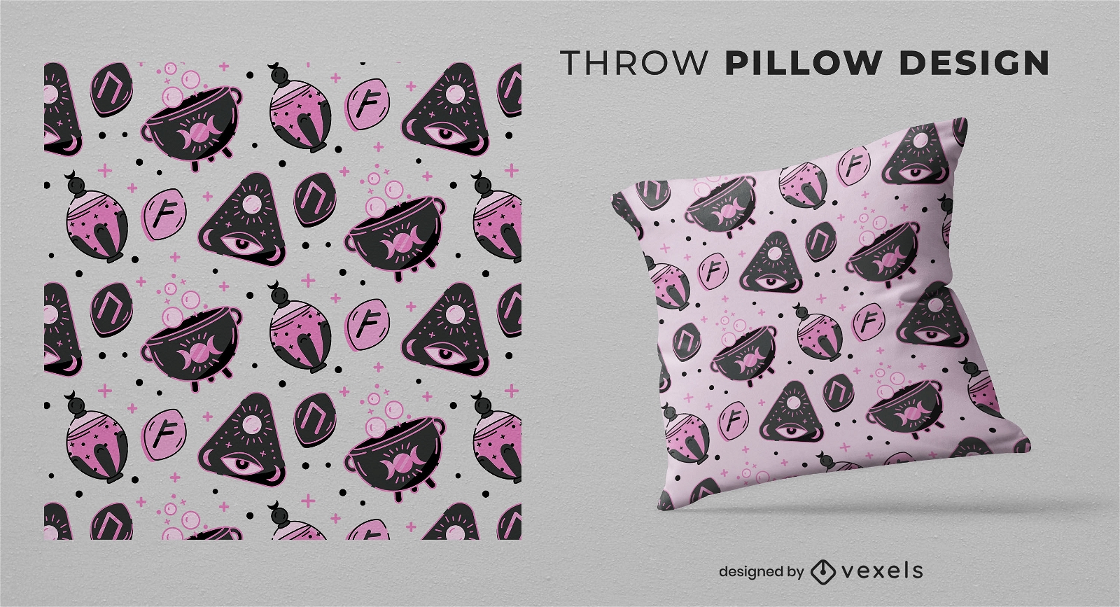
Witchy esoteric throw pillow design
Choose a folder
All favorites
Create new
Save
Witchy esoteric throw pillow design
Print ready
for Merch
Skulls and heads throw pillow pattern design
Choose a folder
All favorites
Create new
Save
Skulls and heads throw pillow pattern design
Editable text
Print ready
for Merch
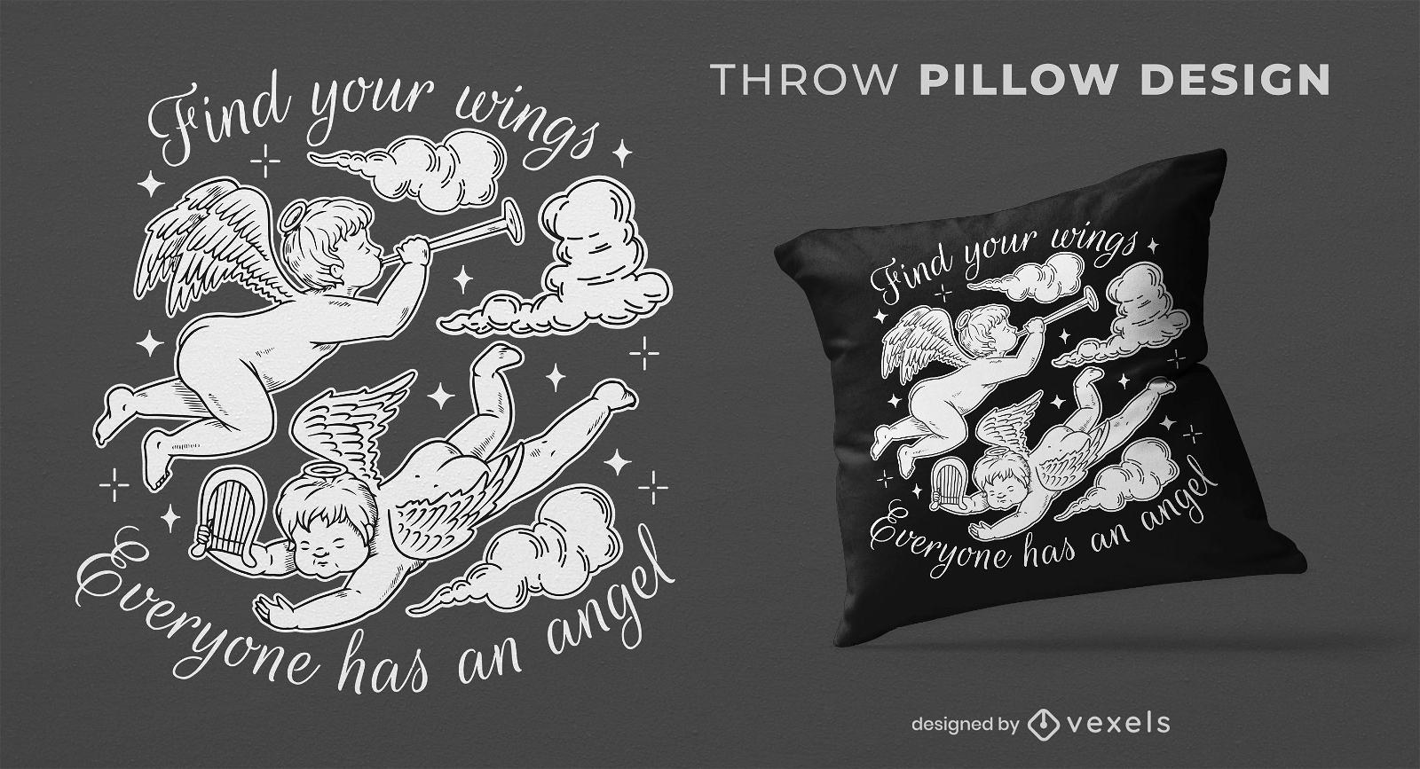
Angels quote throw pillow design
Choose a folder
All favorites
Create new
Save
Angels quote throw pillow design
Print ready
for Merch
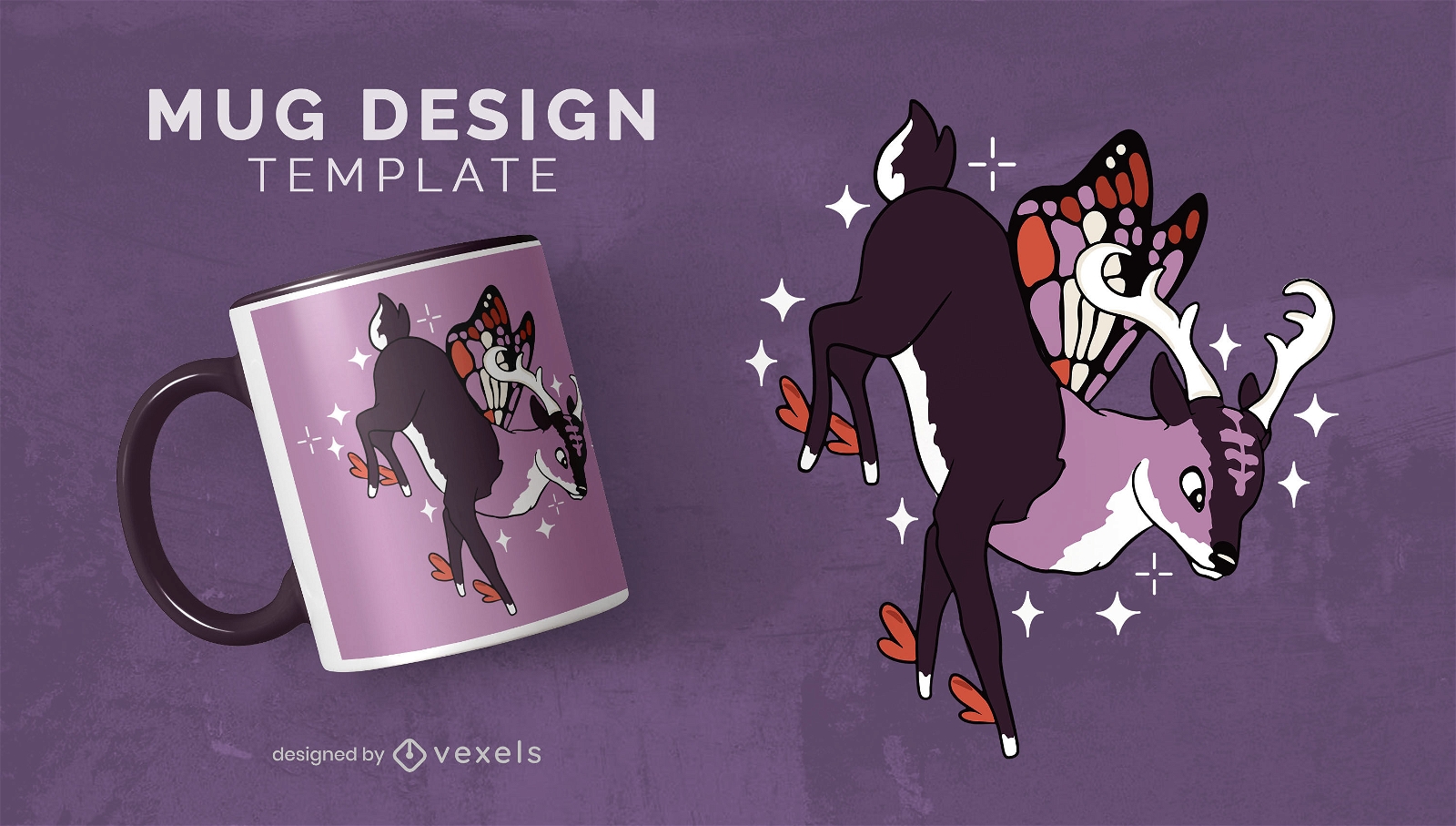
Fairy deer mug design
Choose a folder
All favorites
Create new
Save
Fairy deer mug design
Print ready
for Merch
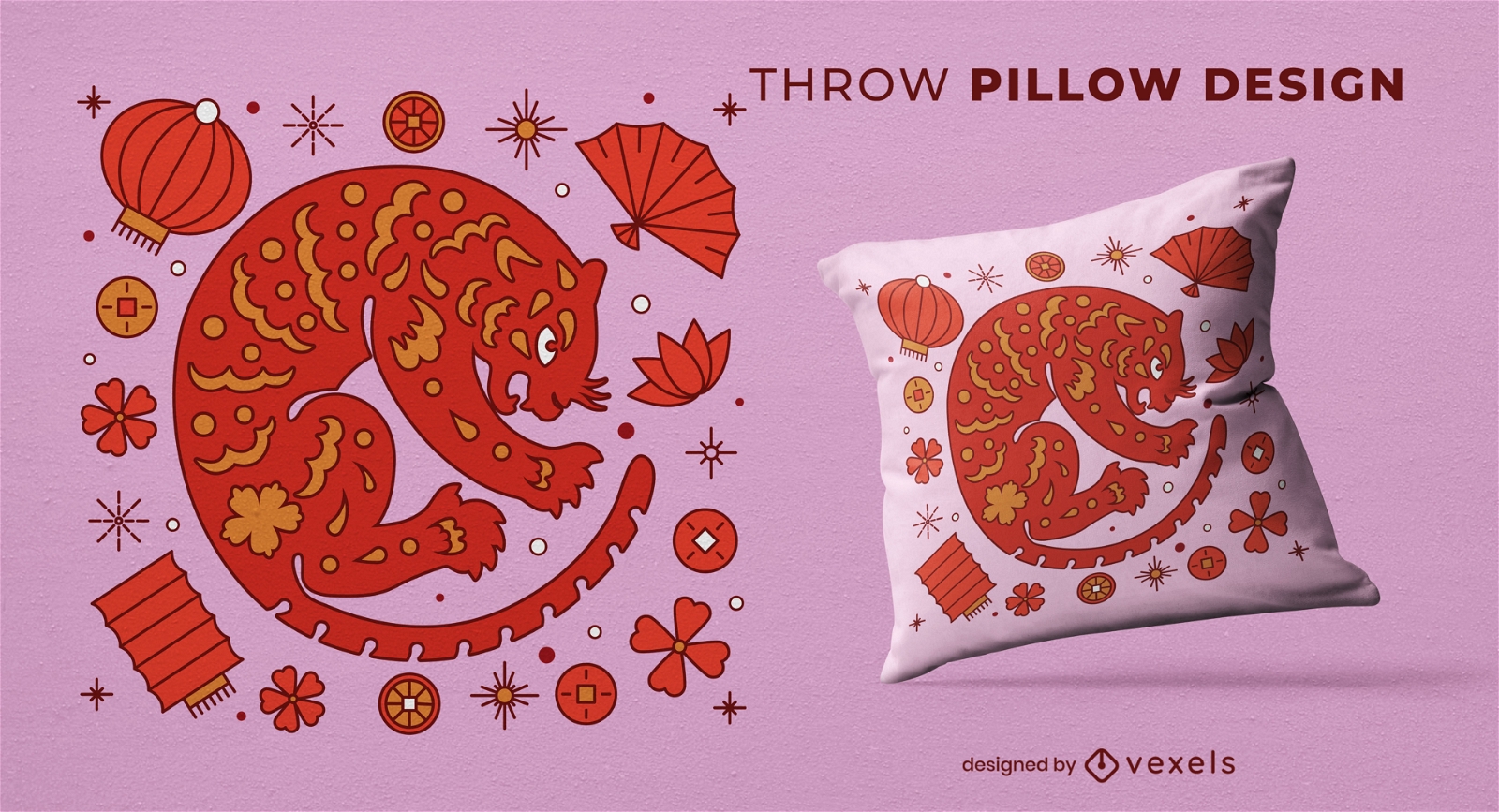
Chinese tiger throw pillow design
Choose a folder
All favorites
Create new
Save
Chinese tiger throw pillow design
Print ready
for Merch
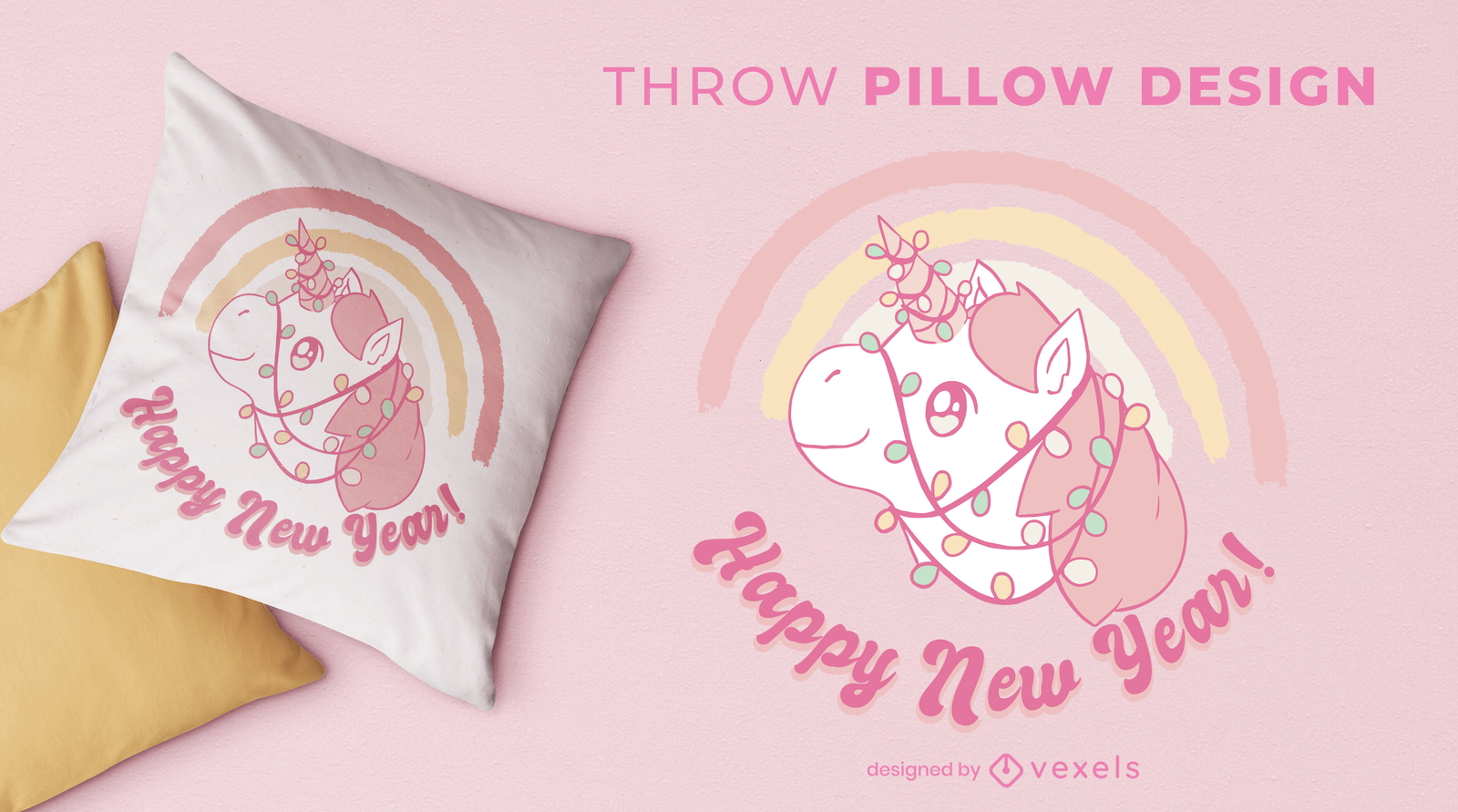
Kawaii unicorn throw pillow design
Choose a folder
All favorites
Create new
Save
Kawaii unicorn throw pillow design
Print ready
for Merch
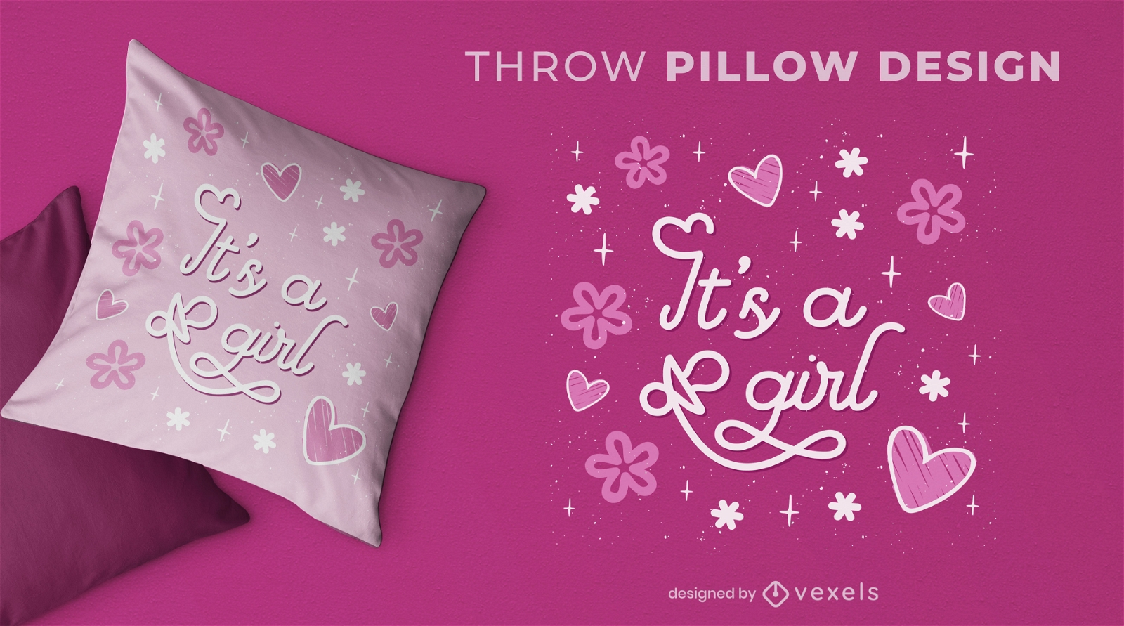
Baby girl gender reveal throw pillow design
Choose a folder
All favorites
Create new
Save
Baby girl gender reveal throw pillow design
Print ready
for Merch
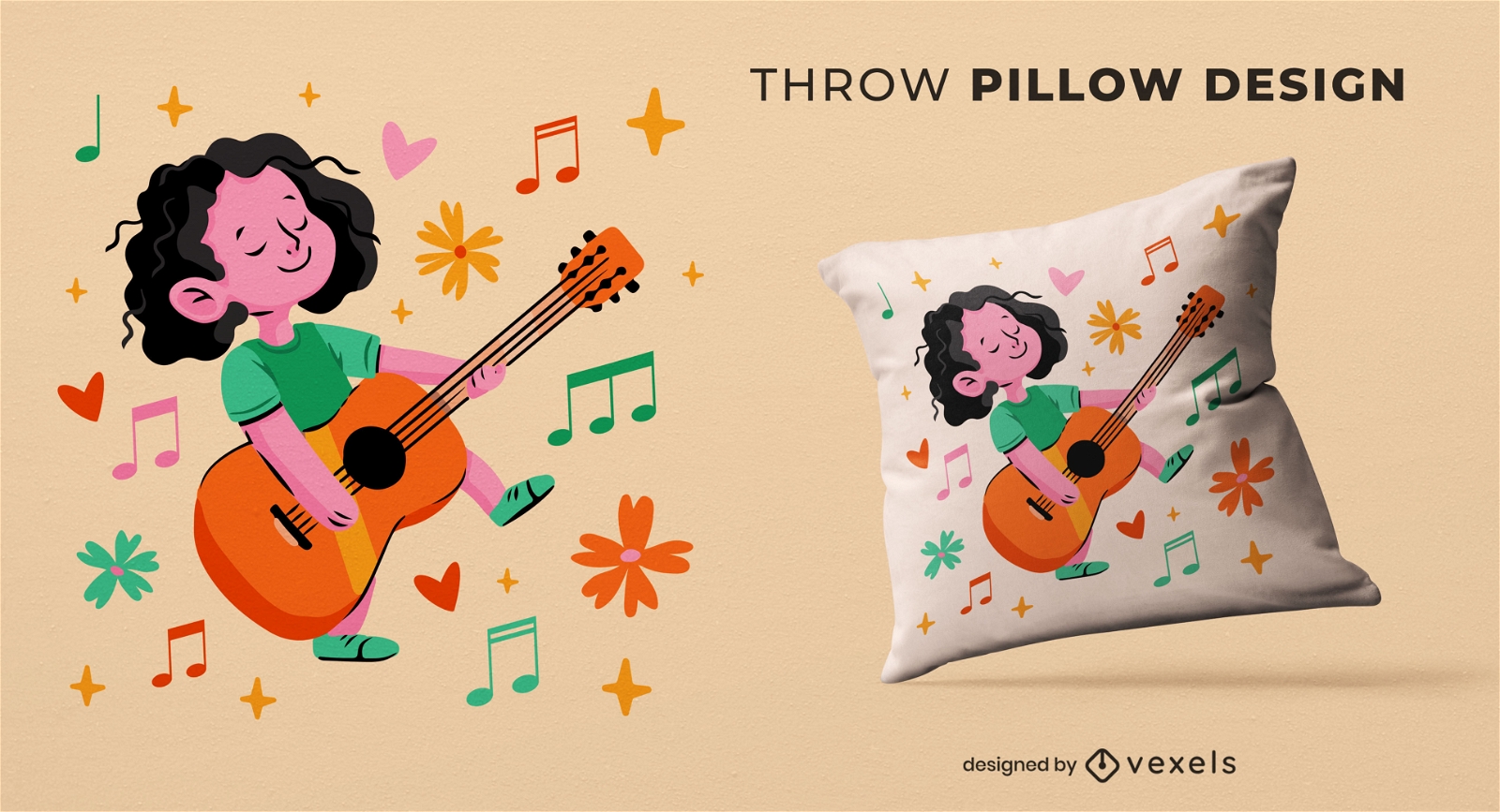
Girl with guitar throw pillow design
Choose a folder
All favorites
Create new
Save
Girl with guitar throw pillow design
Print ready
for Merch
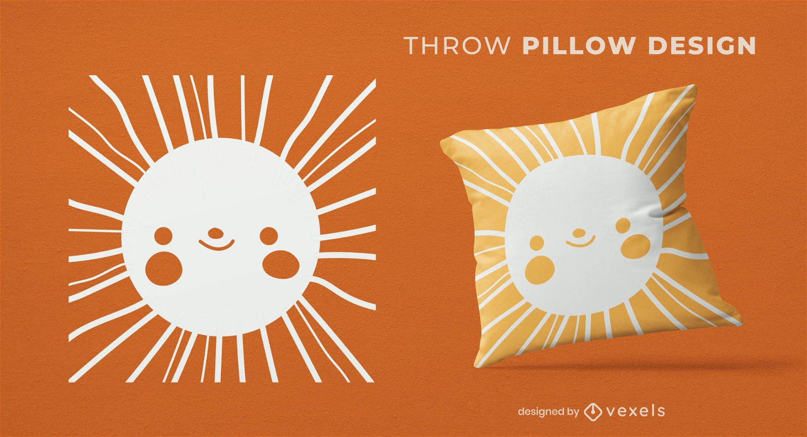
Sun happy face throw pillow design
Choose a folder
All favorites
Create new
Save
Sun happy face throw pillow design
Print ready
for Merch
Nature flowers throw pillow set
Choose a folder
All favorites
Create new
Save
Nature flowers throw pillow set
Print ready
for Merch
Realistic animal kingdom book cover design
Choose a folder
All favorites
Create new
Save
Realistic animal kingdom book cover design
Print ready
for Merch
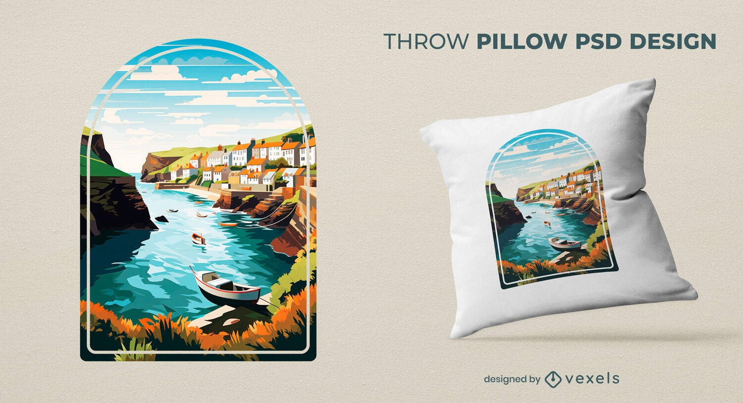
Countryside vacation throw pillow design
Choose a folder
All favorites
Create new
Save
Countryside vacation throw pillow design
Editable text
Print ready
for Merch
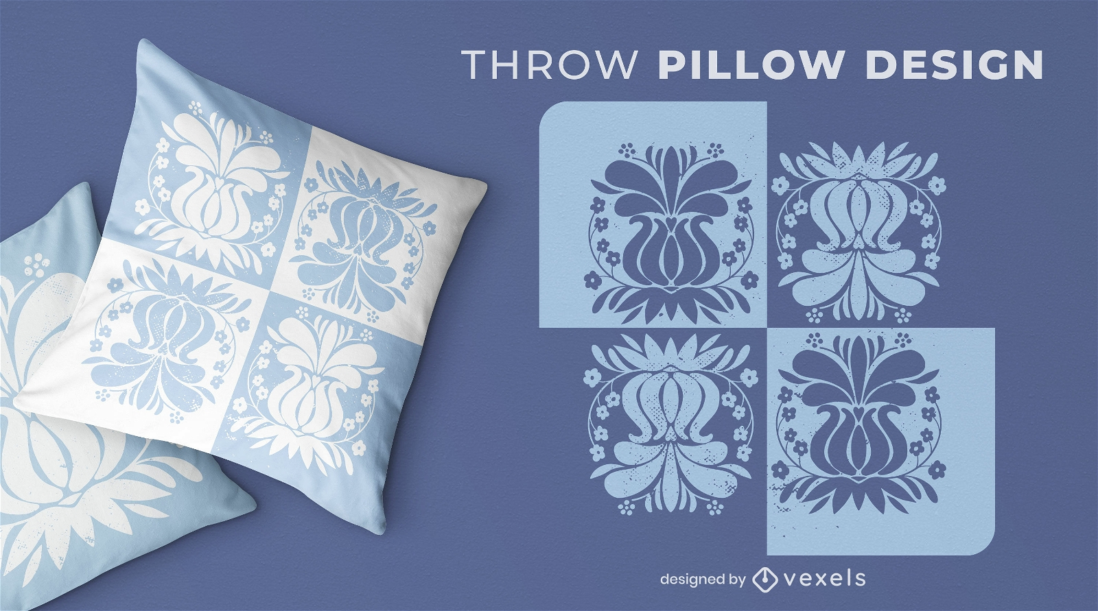
Vintage flowers blue throw pillow design
Choose a folder
All favorites
Create new
Save
Vintage flowers blue throw pillow design
Editable text
Print ready
for Merch
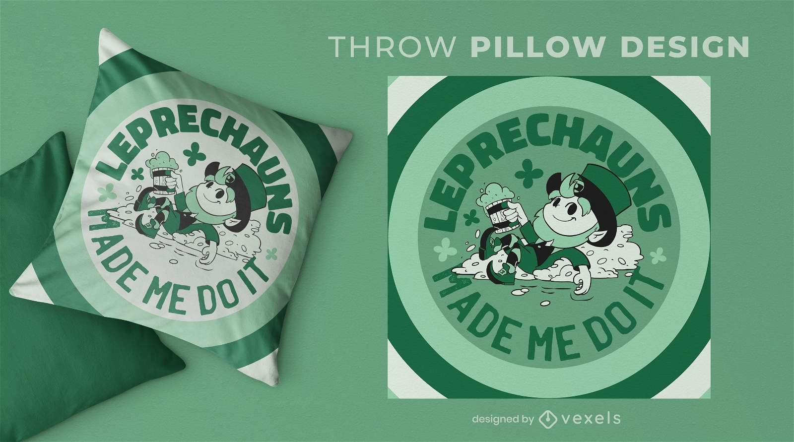
Leprechaun cartoon irish throw pillow design
Choose a folder
All favorites
Create new
Save
Leprechaun cartoon irish throw pillow design
Print ready
for Merch
Chinese rabbit throw pillow design
Choose a folder
All favorites
Create new
Save
Chinese rabbit throw pillow design
Print ready
for Merch
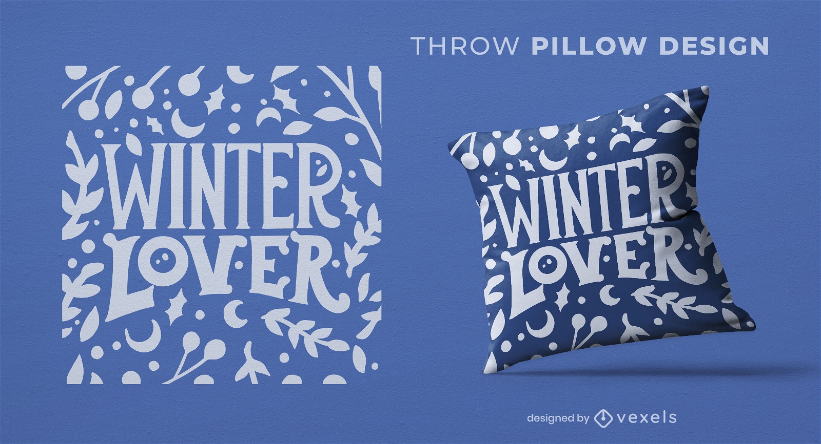
Winter lover throw pillow design
Choose a folder
All favorites
Create new
Save
Winter lover throw pillow design
Print ready
for Merch
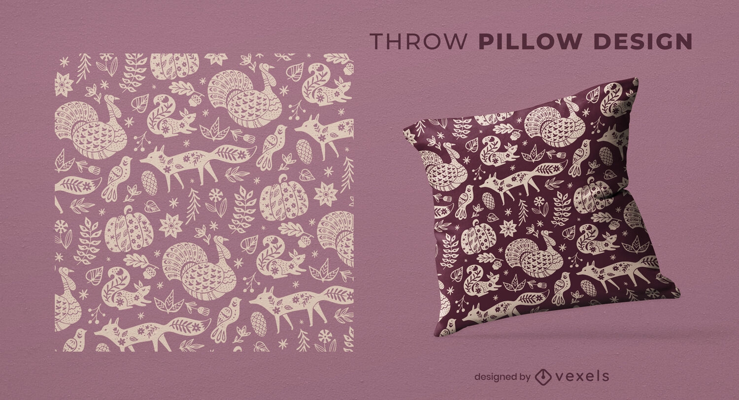
Thanksgving pattern throw pillow design
Choose a folder
All favorites
Create new
Save
Thanksgving pattern throw pillow design
Print ready
for Merch
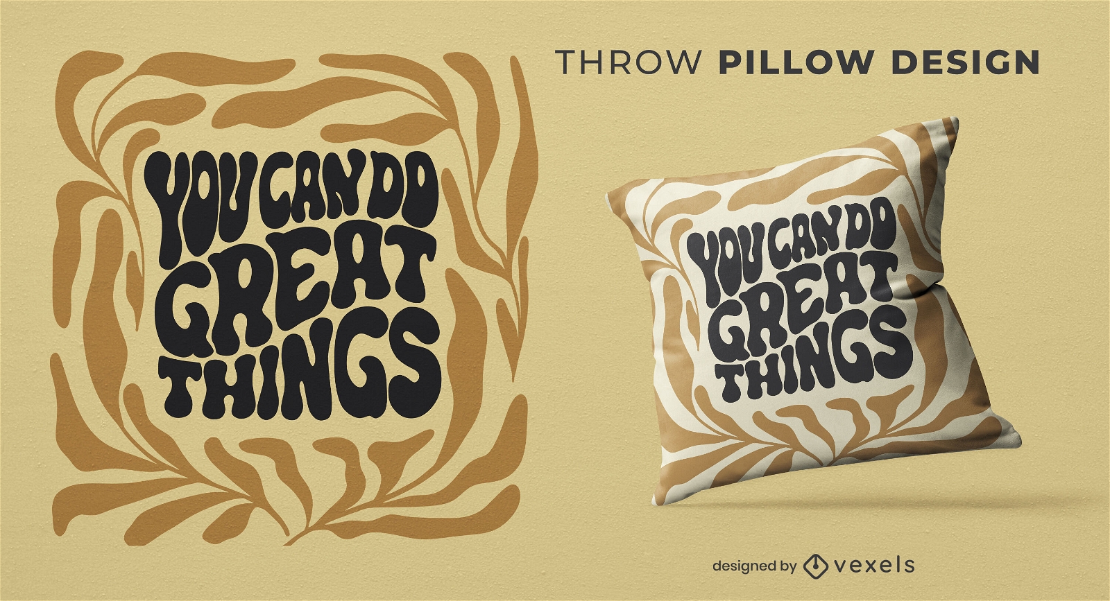
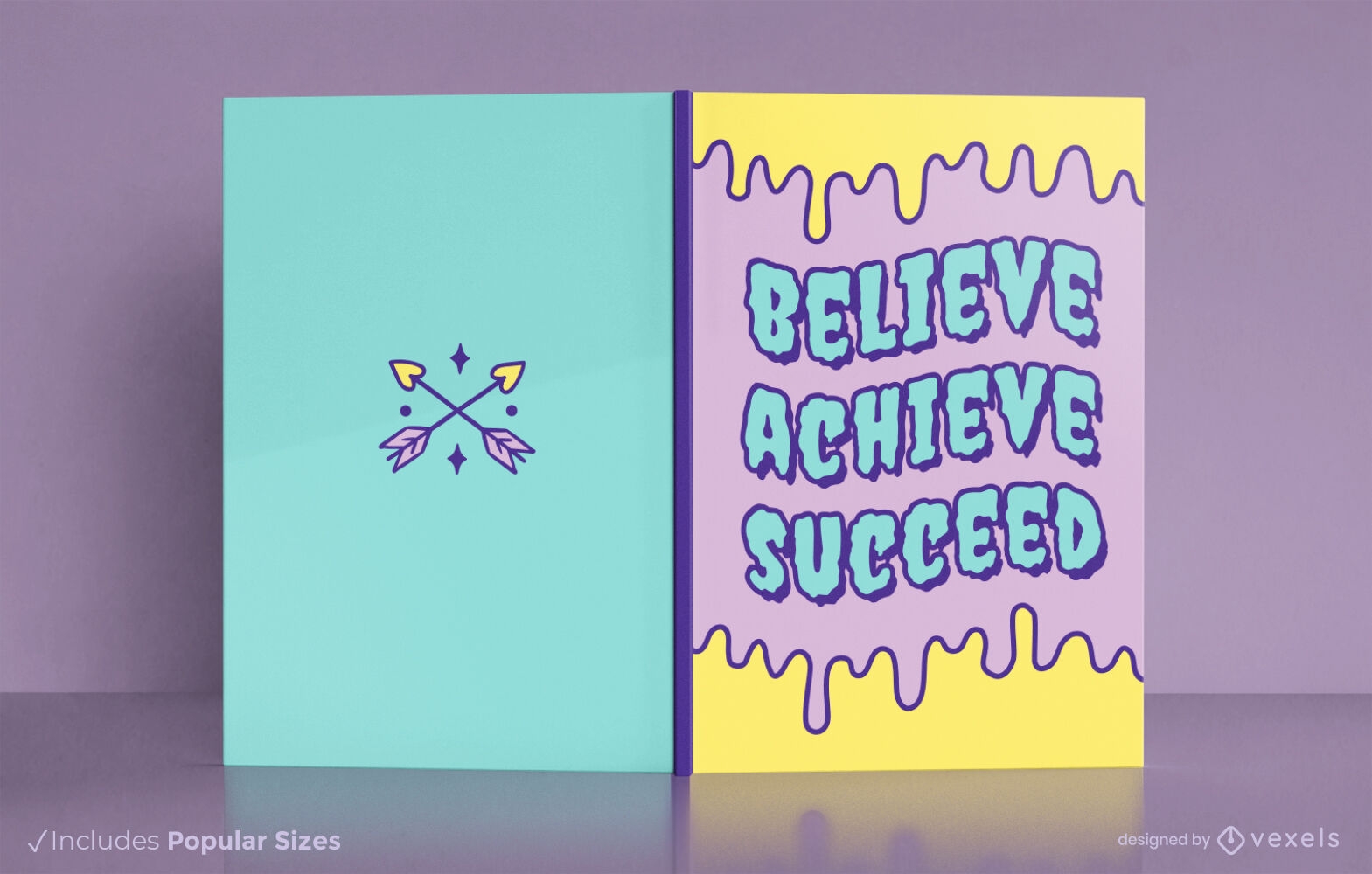
You can do great things throw pillow design
Choose a folder
All favorites
Create new
Save
You can do great things throw pillow design
Editable text
Print ready
for Merch
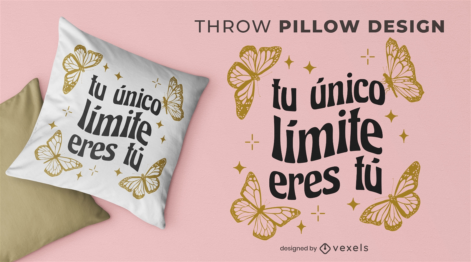
Butterflies and quote throw pillow design
Choose a folder
All favorites
Create new
Save
Butterflies and quote throw pillow design
Print ready
for Merch
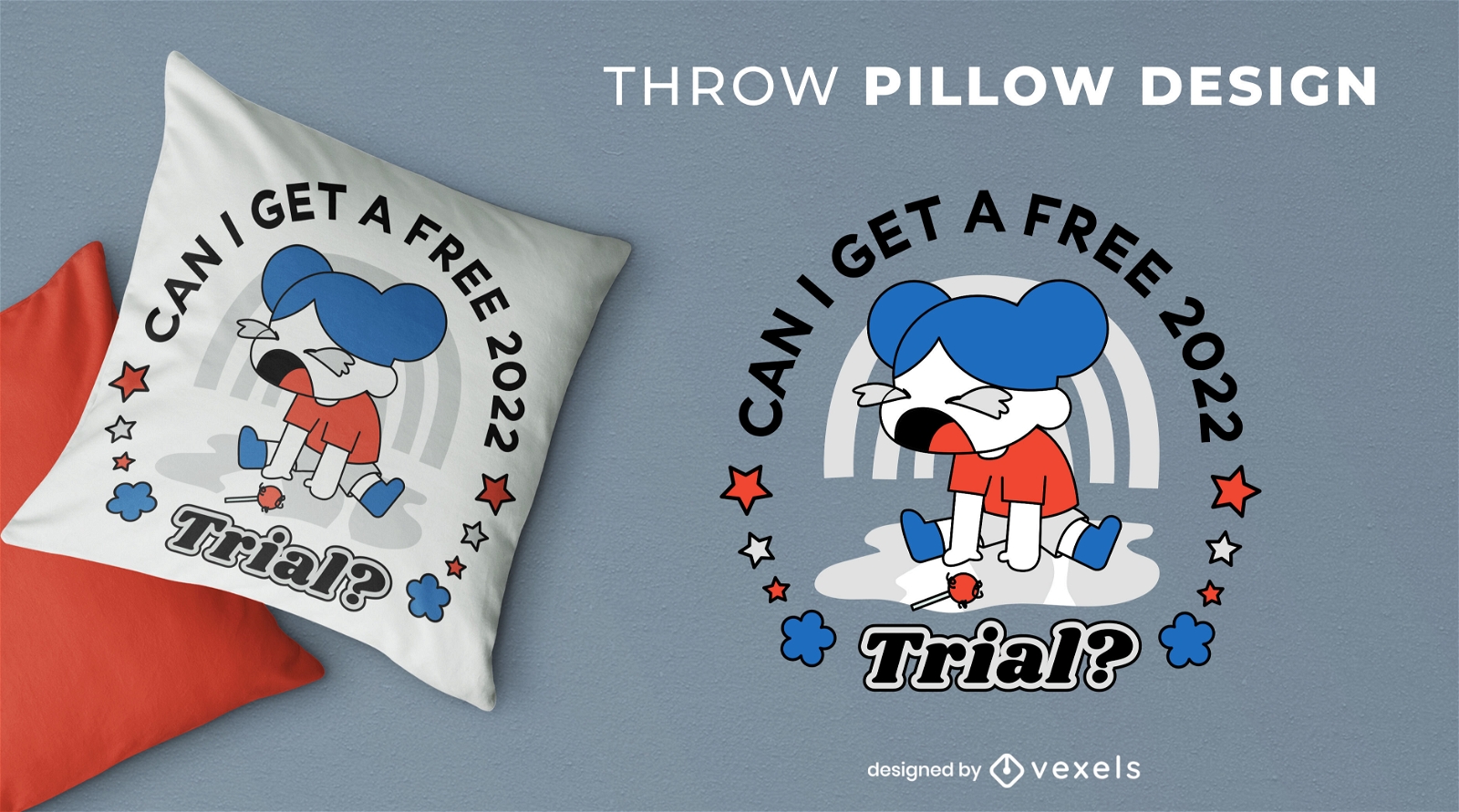
Free 2022 trial throw pillow design
Choose a folder
All favorites
Create new
Save
Free 2022 trial throw pillow design
Print ready
for Merch
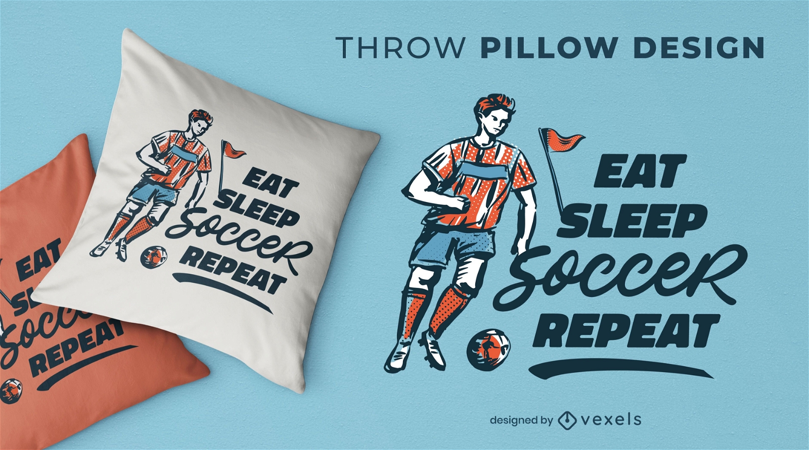
Soccer sport routine throw pillow design
Choose a folder
All favorites
Create new
Save
Soccer sport routine throw pillow design
Premium
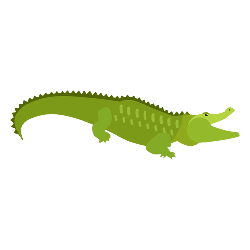
Crocodile alligator tail flat PNG Design
Choose a folder
All favorites
Create new
Save
Crocodile alligator tail flat PNG Design
Premium
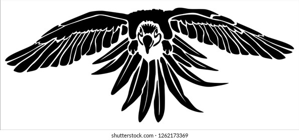
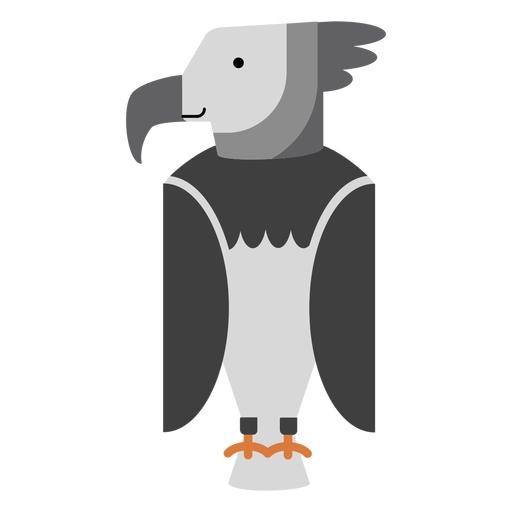
Harpy eagle bird illustration PNG Design
Choose a folder
All favorites
Create new
Save
Harpy eagle bird illustration PNG Design
Print ready
for Merch
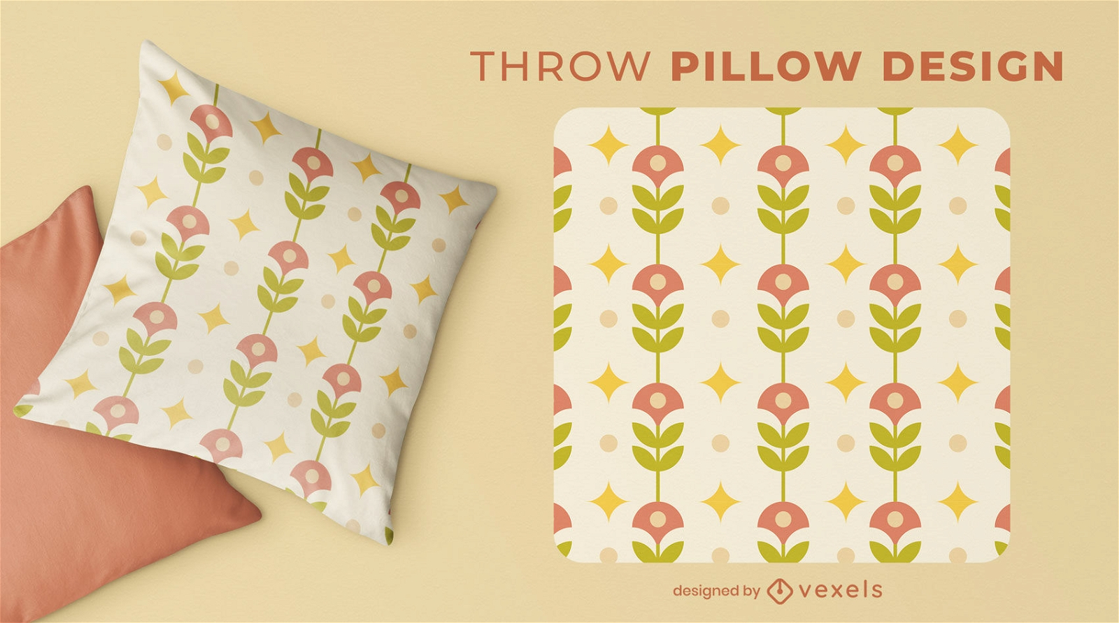
Floral vintage-themed throw pillow design
Choose a folder
All favorites
Create new
Save
Floral vintage-themed throw pillow design
Editable text
Print ready
for Merch
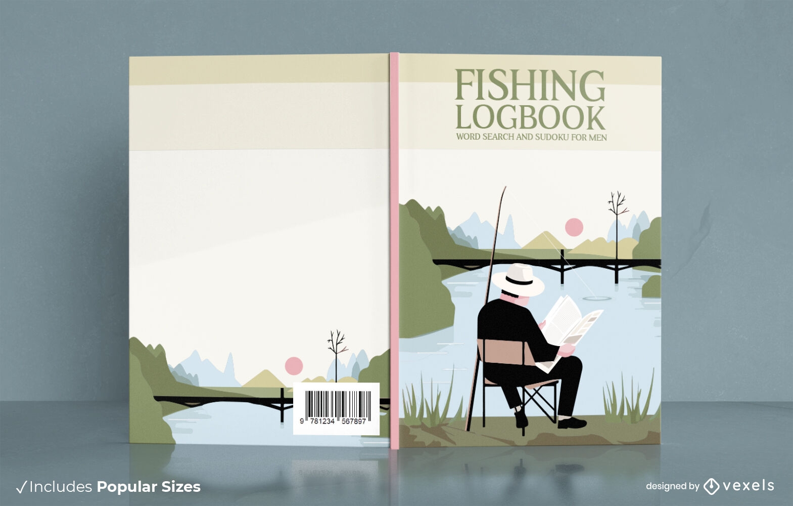
Man fishing in countryside book cover design
Choose a folder
All favorites
Create new
Save
Man fishing in countryside book cover design
Editable text
Print ready
for Merch
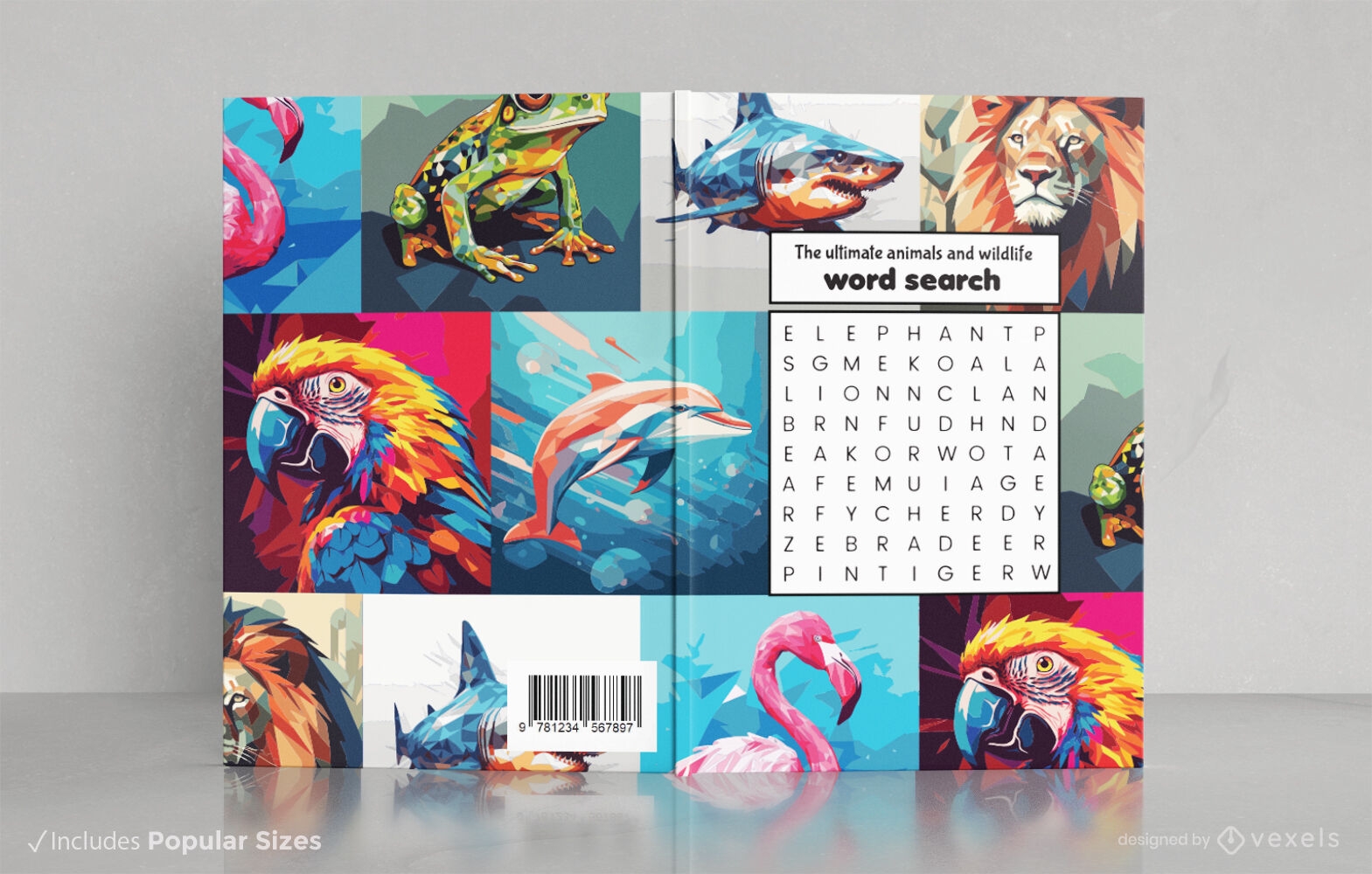
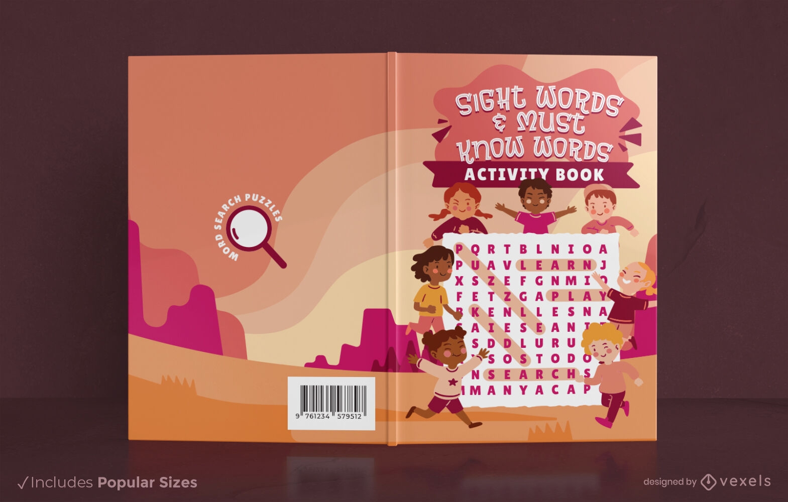
Children playing with word search puzzle book cover design
Choose a folder
All favorites
Create new
Save
Children playing with word search puzzle book cover design
Editable text
Print ready
for Merch
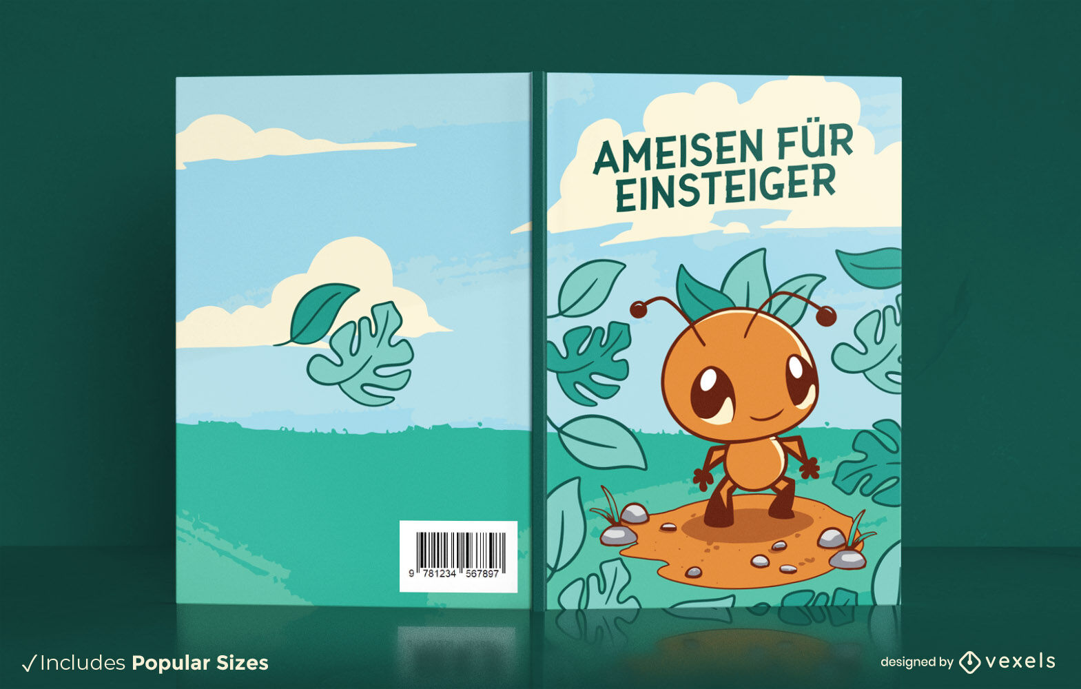
Cute ant walking book cover design KDP
Choose a folder
All favorites
Create new
Save
Cute ant walking book cover design KDP
Editable text
Print ready
for Merch
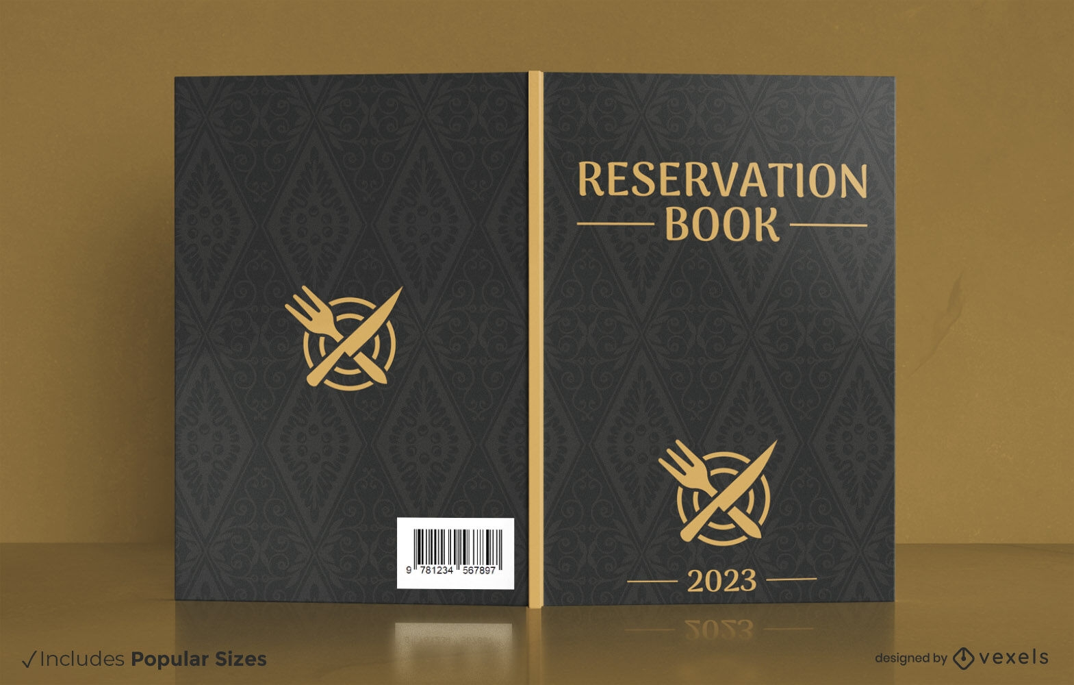
Restaurant reseveration golden book cover design
Choose a folder
All favorites
Create new
Save
Restaurant reseveration golden book cover design
Editable text
Print ready
for Merch
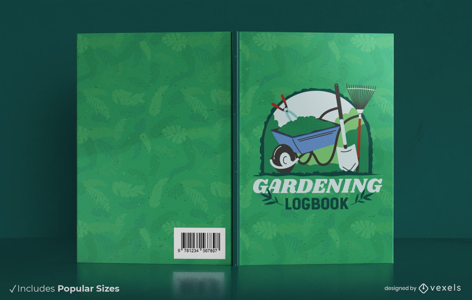
Gardening job logbook cover design
Choose a folder
All favorites
Create new
Save
Gardening job logbook cover design
Print ready
for Merch
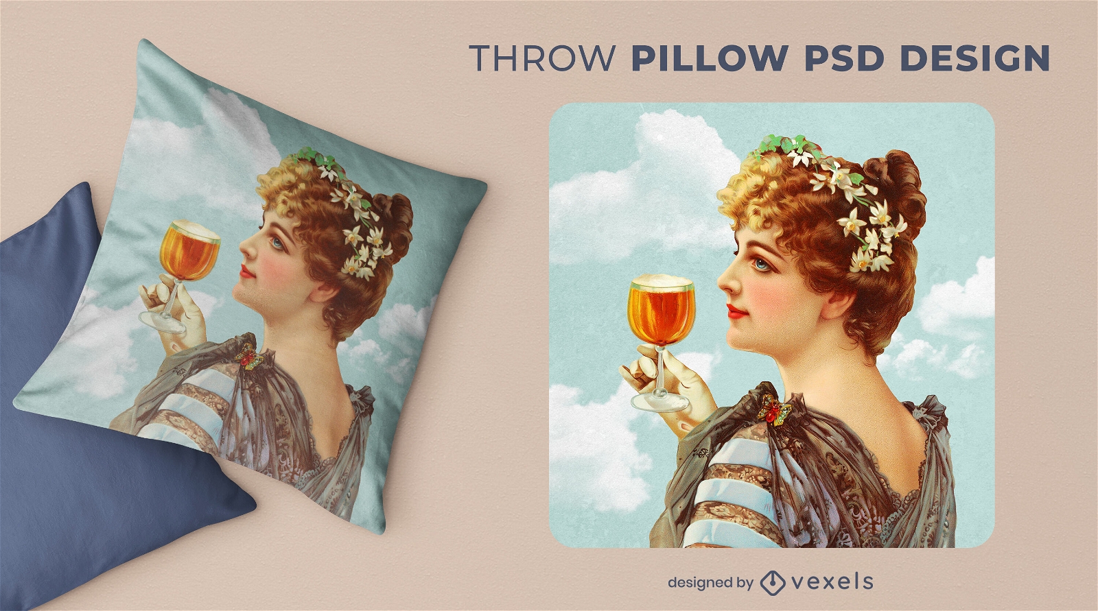
Vintage medieval woman with beer throw pillow psd
Choose a folder
All favorites
Create new
Save
Vintage medieval woman with beer throw pillow psd
Editable text
Print ready
Premium
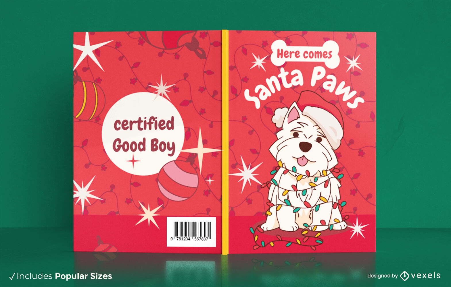
Christmas dog book cover design
Choose a folder
All favorites
Create new
Save
Christmas dog book cover design
Editable text
Print ready
for Merch
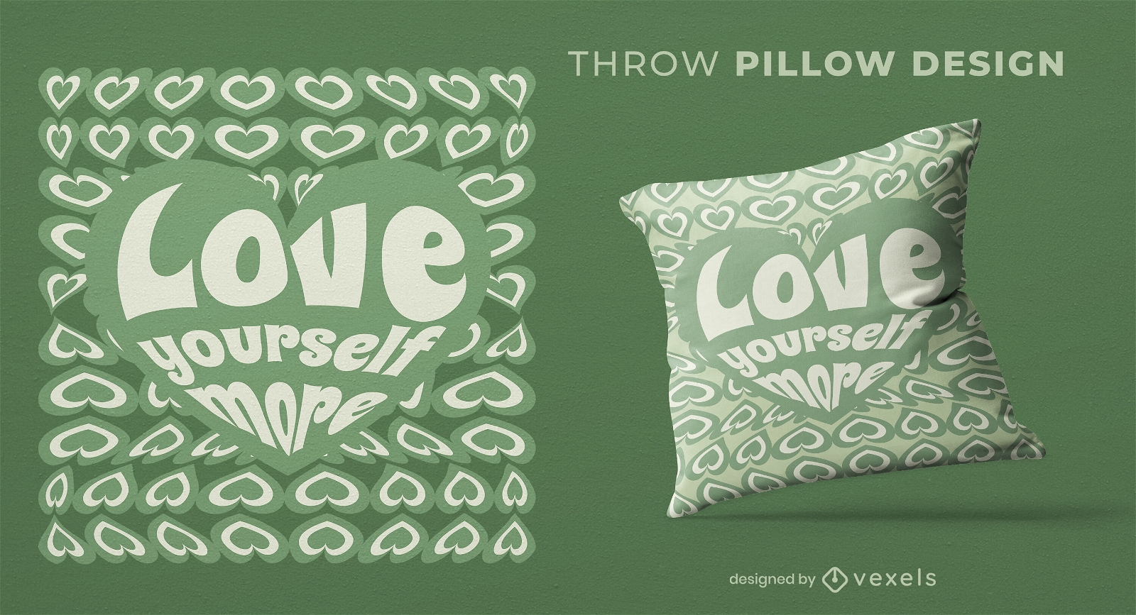
Love yourself heart throw pillow design
Choose a folder
All favorites
Create new
Save
Love yourself heart throw pillow design
Print ready
for Merch
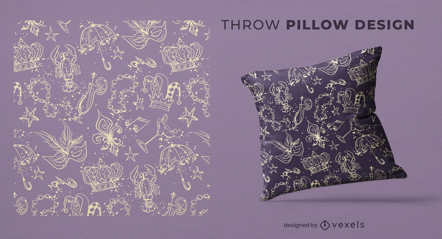
Mardi gras line art throw pillow design
Choose a folder
All favorites
Create new
Save
Mardi gras line art throw pillow design
Premium
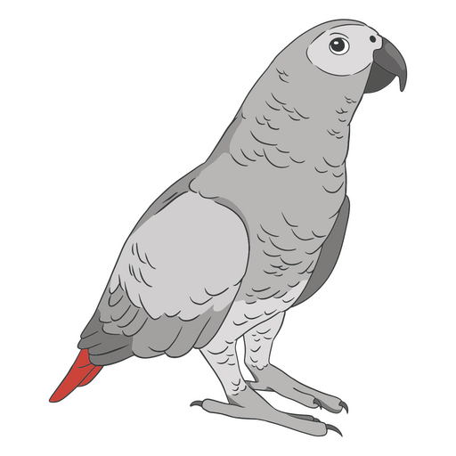
Gray parrot PNG Design
Choose a folder
All favorites
Create new
Save
Gray parrot PNG Design
Editable text
Print ready
for Merch
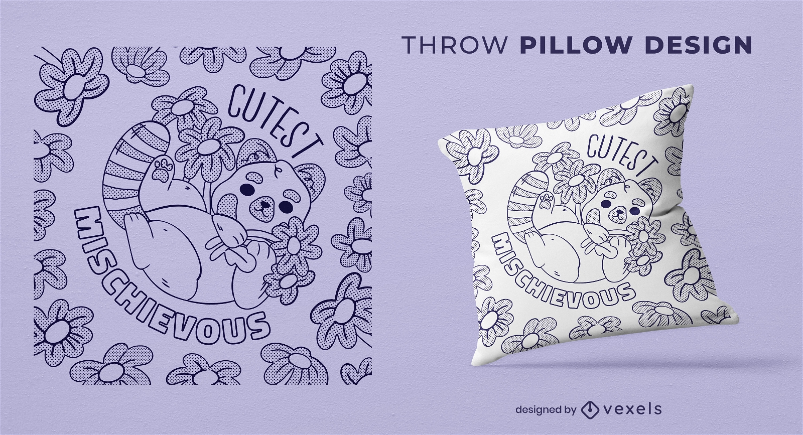
Red panda with flowers throw pillow design
Choose a folder
All favorites
Create new
Save
Red panda with flowers throw pillow design
Editable text
Print ready
for Merch
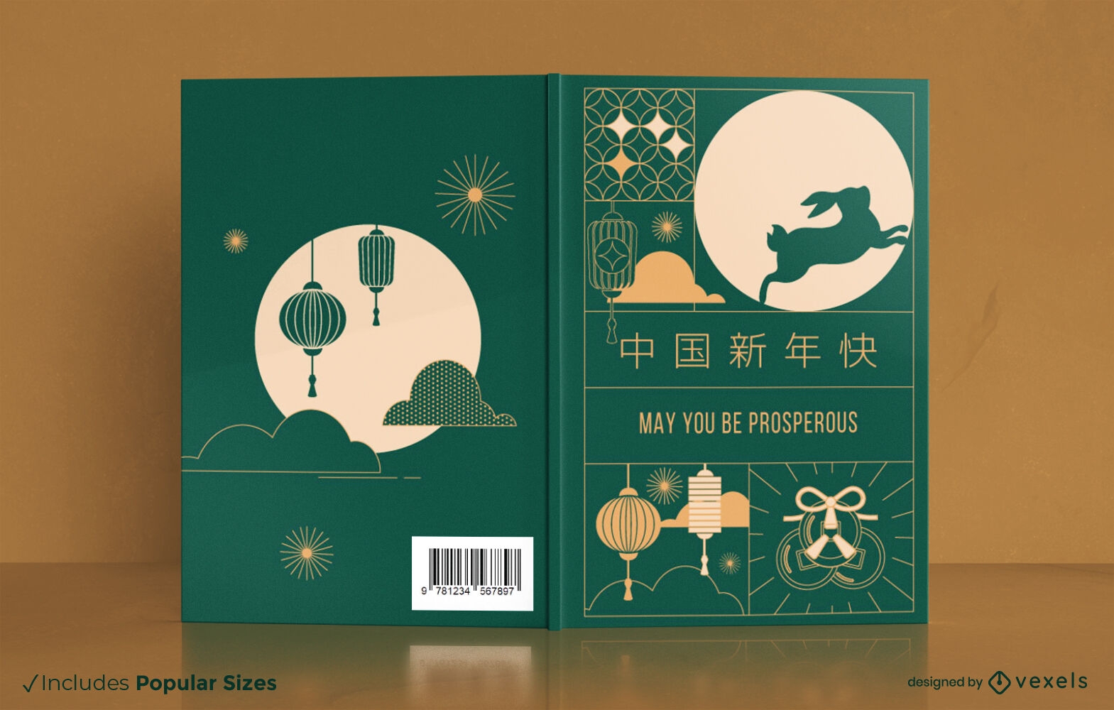
New Year rabbit book cover design
Choose a folder
All favorites
Create new
Save
New Year rabbit book cover design
Editable text
Print ready
for Merch
Cute pastel goth planner book cover design
Choose a folder
All favorites
Create new
Save
Cute pastel goth planner book cover design
Print ready
for Merch
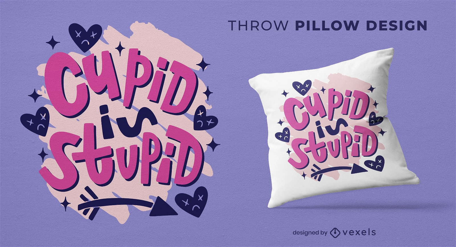
Cupid is stupid throw pillow design
Choose a folder
All favorites
Create new
Save
Cupid is stupid throw pillow design
Editable text
Print ready
for Merch
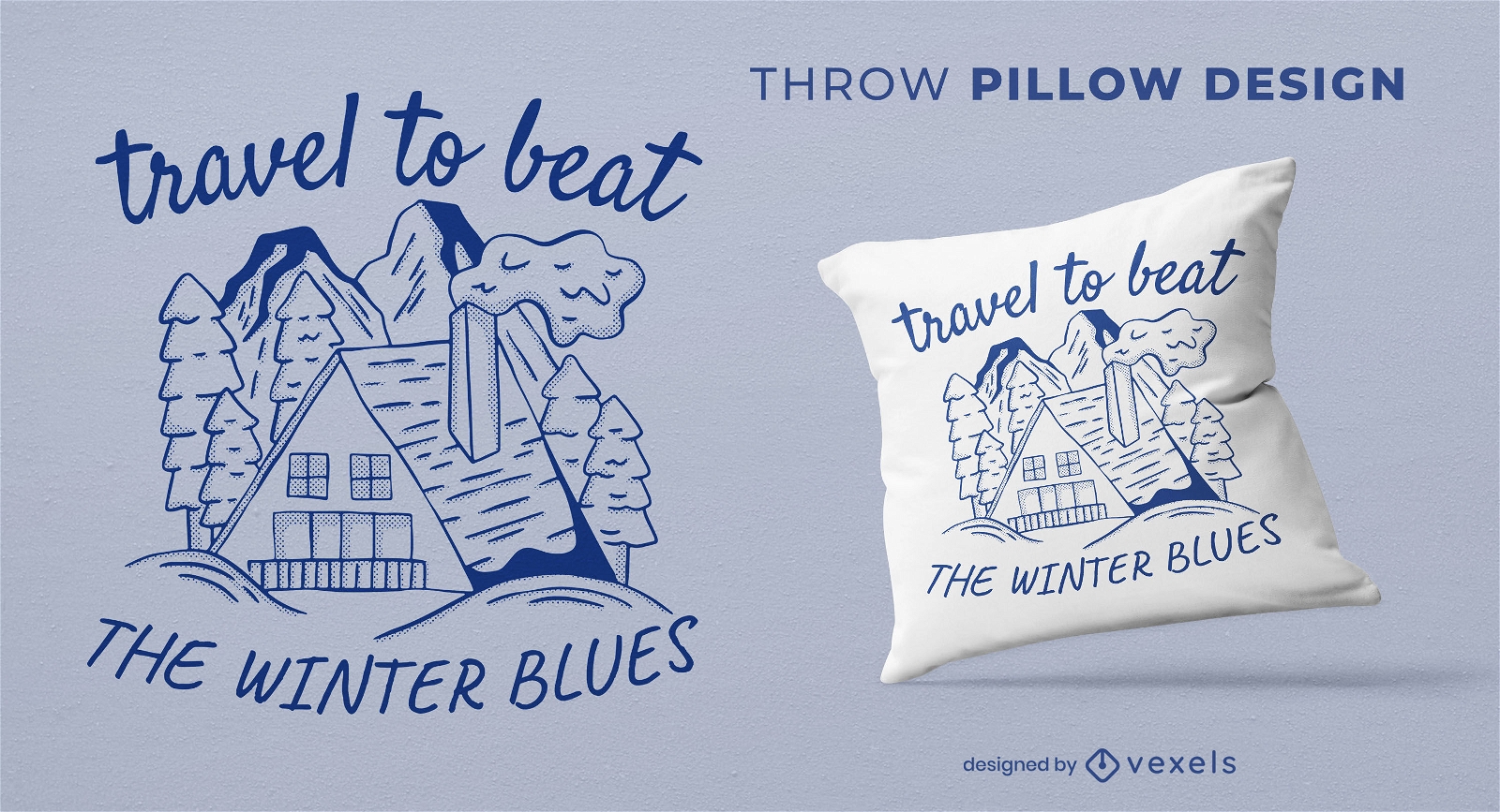
Travel to beat winter blues throw pillow design
Choose a folder
All favorites
Create new
Save
Travel to beat winter blues throw pillow design
Boost Your Business
With The Leading Graphic Platform For Merch.
SEE PLANS
Next
of 24
prev page
next page