Design Library
New Merch Designs
T-Shirts
Vectors
Trending Merch Designs
PNGs & SVGs
Mockups
T-Shirt PSD Templates
Explore Designs
KDP Designs
Posters
Mugs
Phone Cases
Tote Bags
Pillows
Design Tools
Merch Designer
New!
Mockup Generator
AI Design Generator
Image Vectorizer
Quote Generator
T-Shirt Maker (Old)
Resources
Merch Digest
Blog
Help Center
Learn About Merch
Feedback
Corporate Solutions
Enterprise
API Access
Design Studio
Bulk Design Production
Pricing
Loading...
Sign Up
Login
All
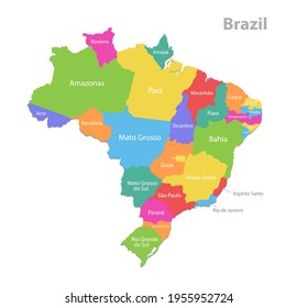
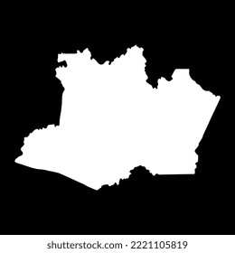
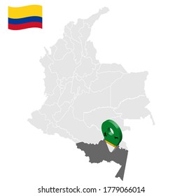
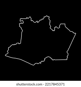
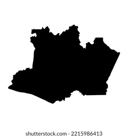
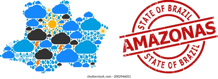
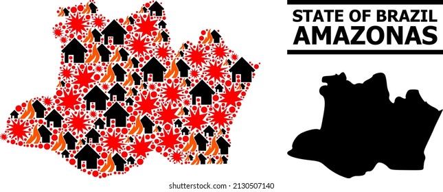
amazonas
Design Library
New Merch Designs
T-Shirts
Vectors
Trending Merch Designs
PNGs & SVGs
Mockups
T-Shirt PSD Templates
Explore Designs
KDP Designs
Posters
Mugs
Phone Cases
Tote Bags
Pillows
Design Tools
Merch Designer
New!
Mockup Generator
AI Design Generator
Image Vectorizer
Quote Generator
T-Shirt Maker (Old)
Resources
Merch Digest
Blog
Help Center
Learn About Merch
Feedback
Corporate Solutions
Enterprise
API Access
Design Studio
Bulk Design Production
PLANS
All
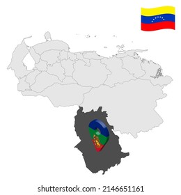
amazonas
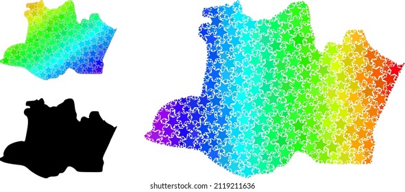
1161 amazonas designs graphics for t-shirt and print on demand merch
Download amazonas t-shirt designs and other merch graphics like book covers, phone cases, tote bags and more.
Sort by
Most relevant
Sponsored results by
Get 15% off with code: VEXELS15
Show more
Editable text
Print ready
for Merch
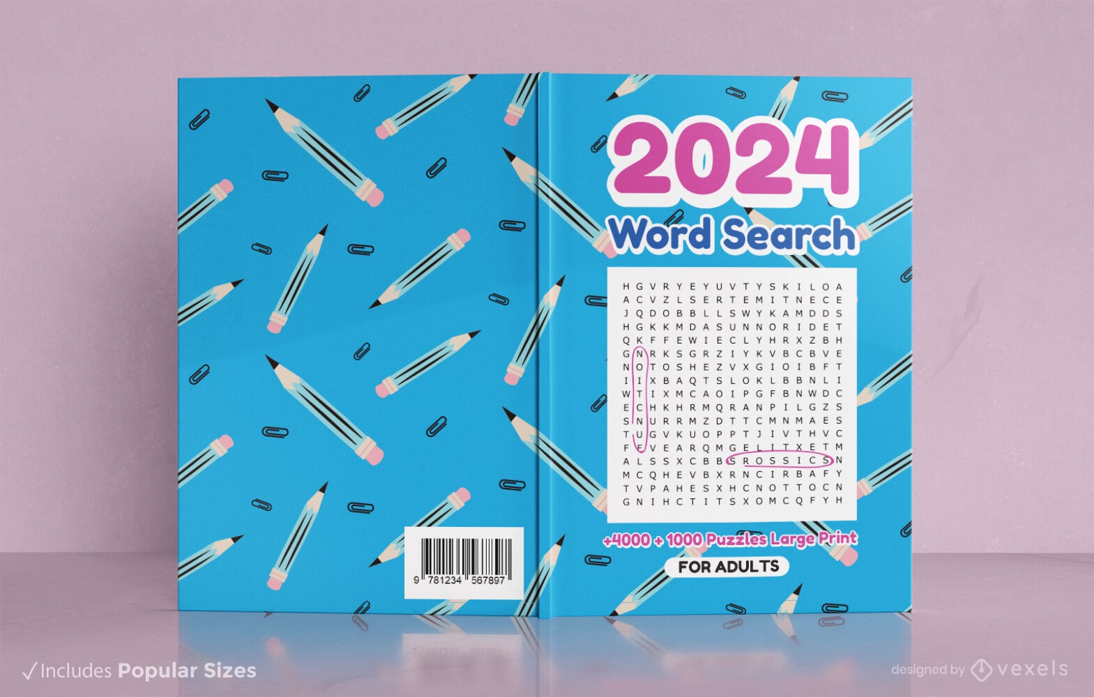
2024 pencil patterns word search book cover design
Choose a folder
All favorites
Create new
Save
2024 pencil patterns word search book cover design
Print ready
for Merch
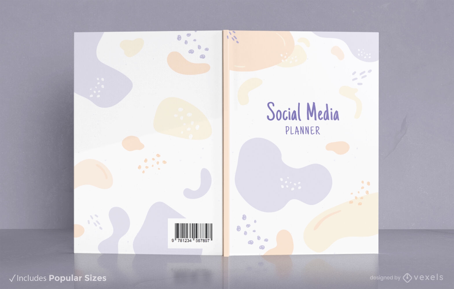
Abstract social media book cover design
Choose a folder
All favorites
Create new
Save
Abstract social media book cover design
Print ready
for Merch
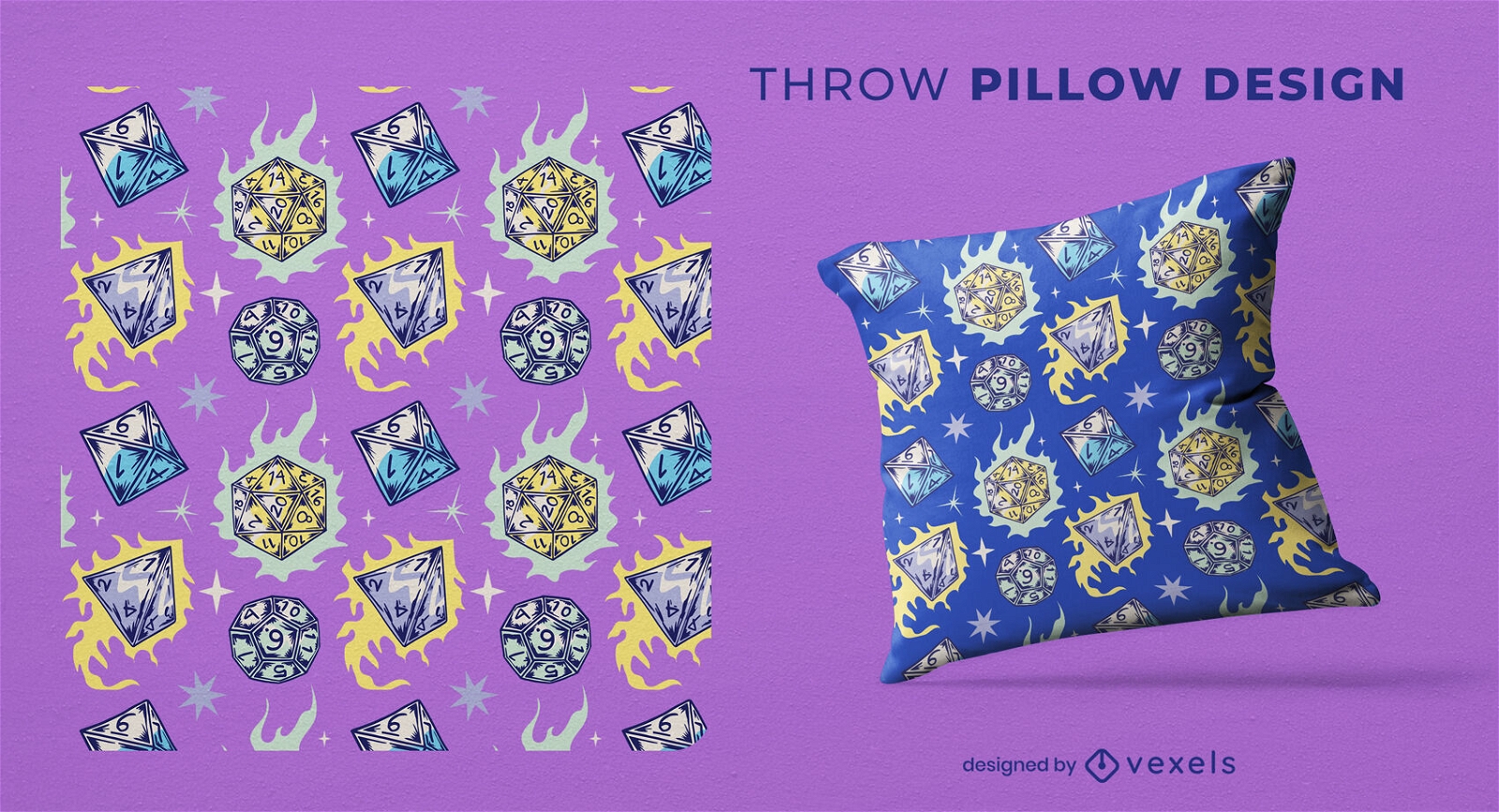
RPG dices on fire throw pillow design
Choose a folder
All favorites
Create new
Save
RPG dices on fire throw pillow design
Editable text
Print ready
for Merch
Period tracker strawberry book cover design
Choose a folder
All favorites
Create new
Save
Period tracker strawberry book cover design
Print ready
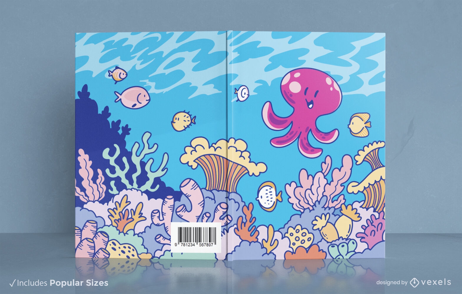
Cute squid sea animal book cover design
Choose a folder
All favorites
Create new
Save
Cute squid sea animal book cover design
Editable text
Print ready
Premium
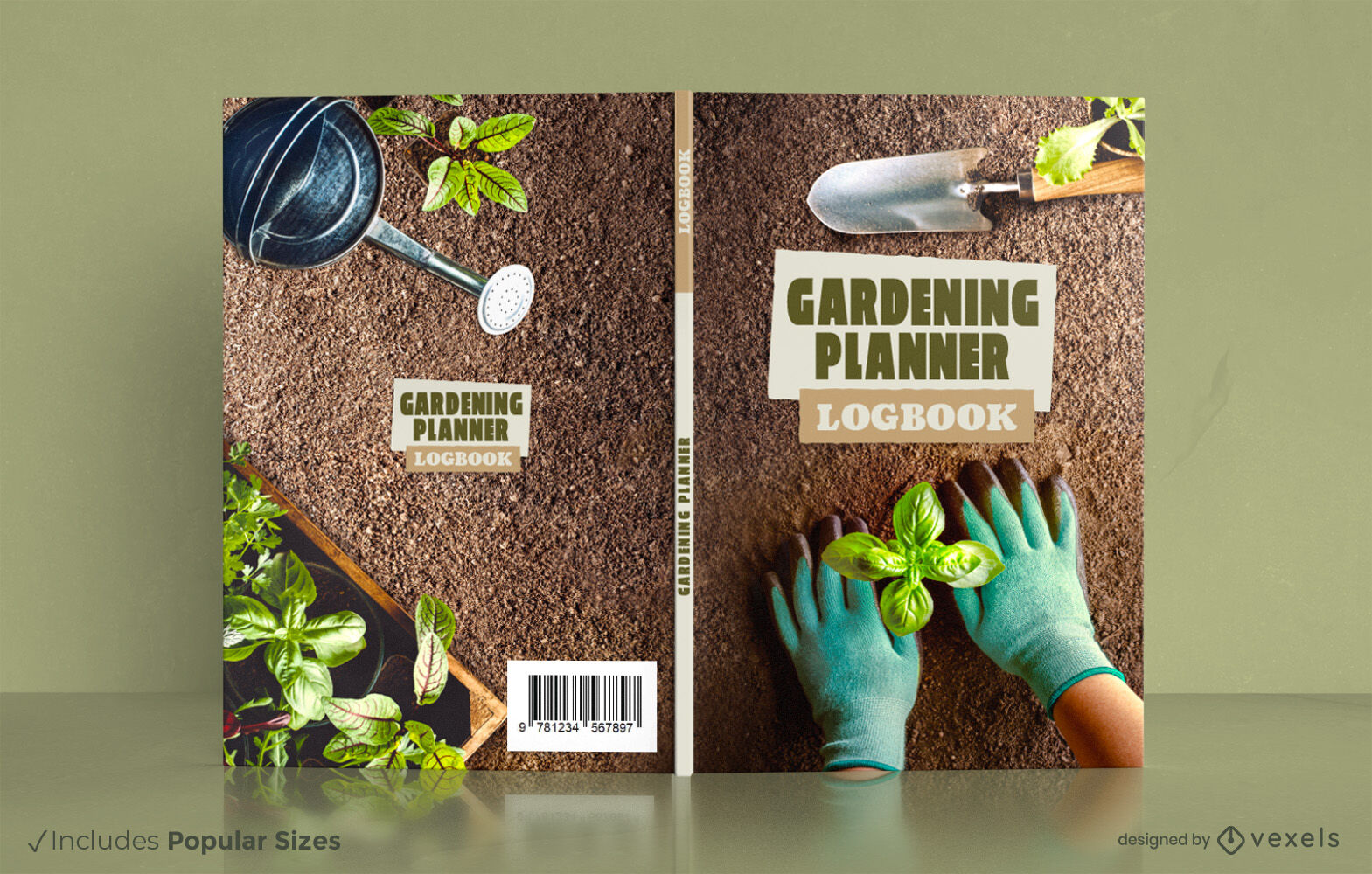
Gardening book cover design KDP
Choose a folder
All favorites
Create new
Save
Gardening book cover design KDP
Print ready
for Merch
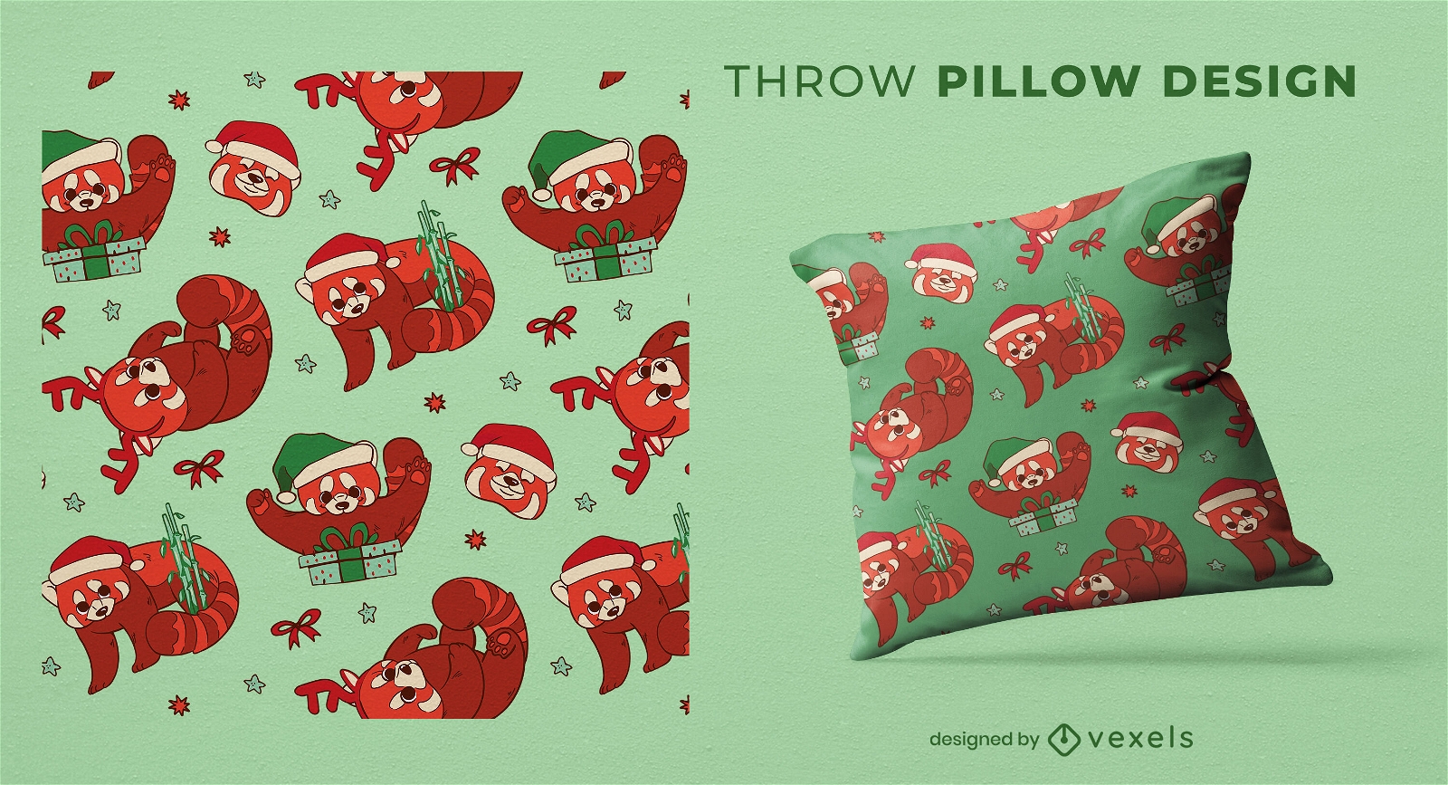
Christmas red panda throw pillow design
Choose a folder
All favorites
Create new
Save
Christmas red panda throw pillow design
Editable text
Print ready
Premium
2WCrafting book cover KDP design
Choose a folder
All favorites
Create new
Save
2WCrafting book cover KDP design
Editable text
Print ready
for Merch
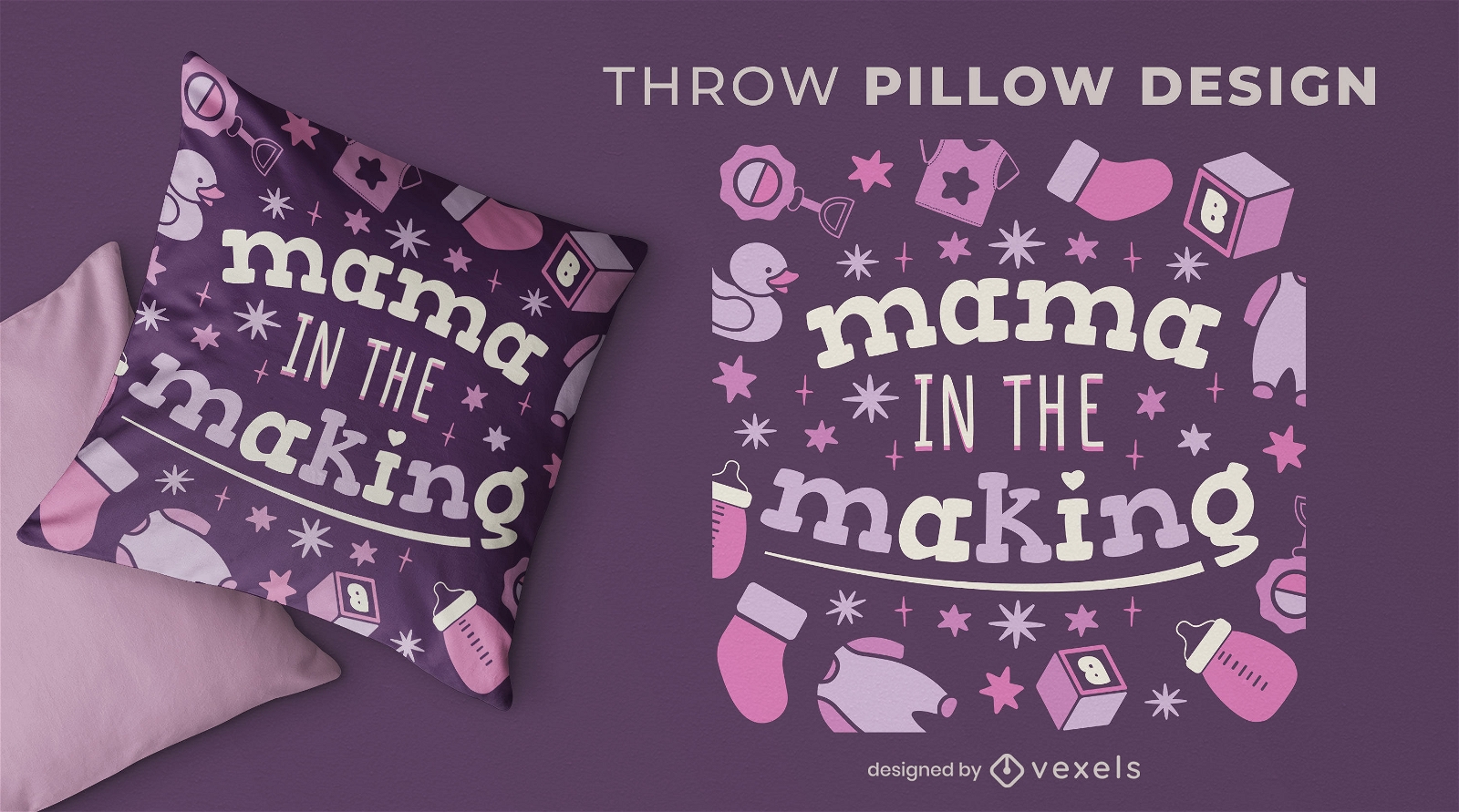
Mama in the making throw pillow design
Choose a folder
All favorites
Create new
Save
Mama in the making throw pillow design
Editable text
Print ready
for Merch
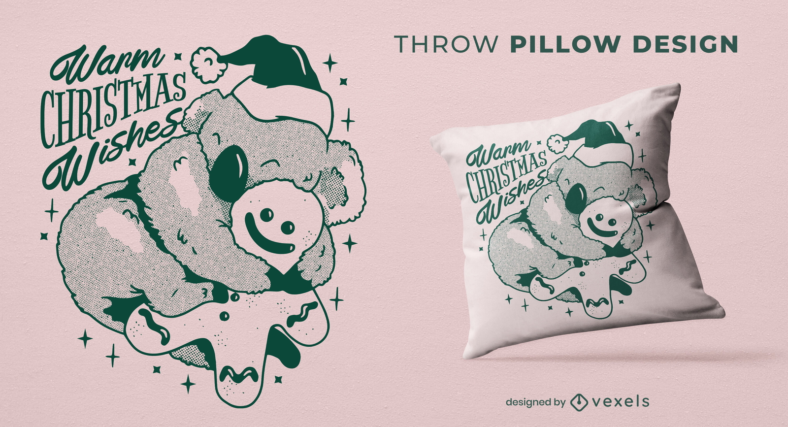
Christmas Koala throw pillow design
Choose a folder
All favorites
Create new
Save
Christmas Koala throw pillow design
Editable text
Print ready
for Merch
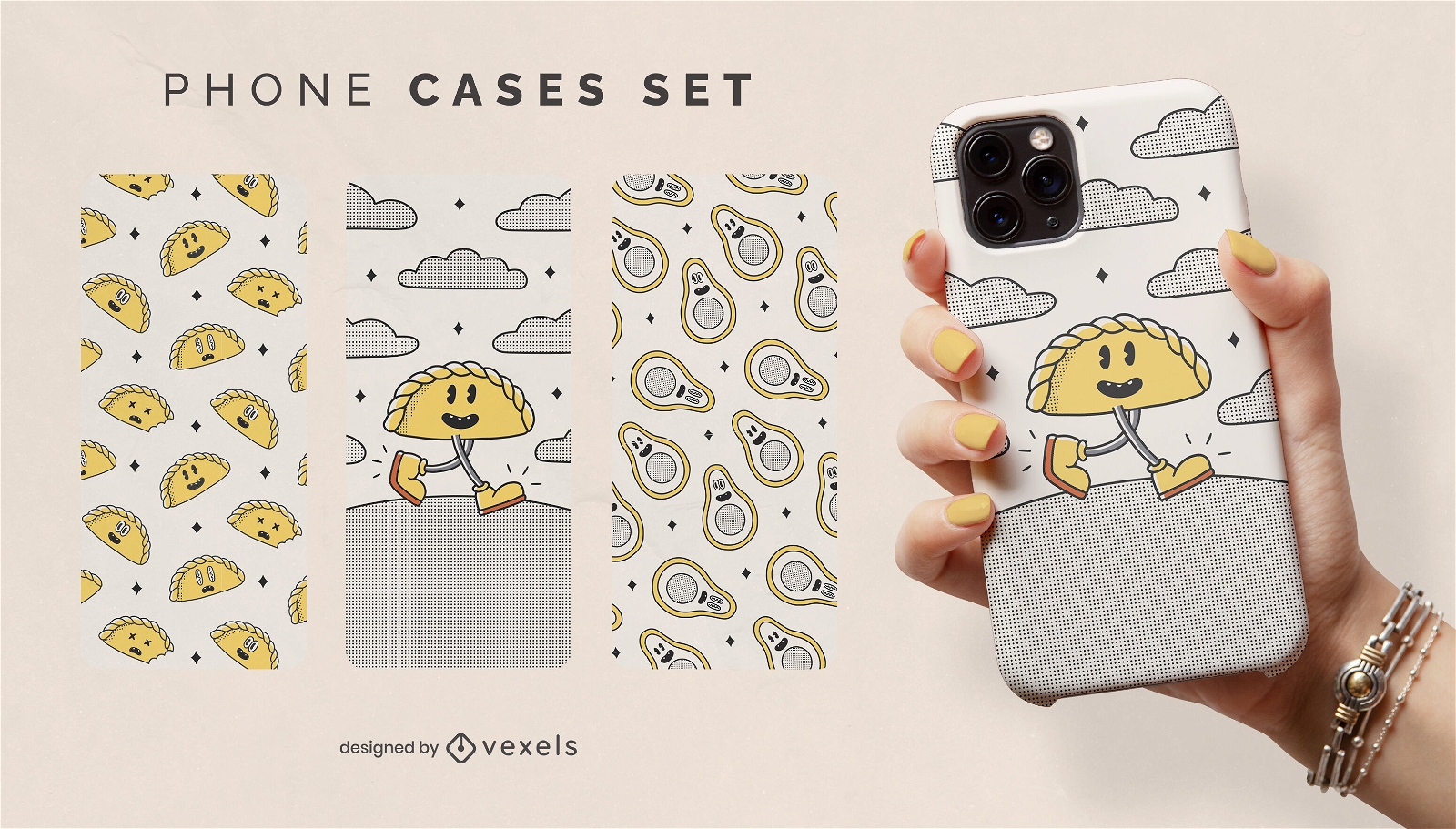
Retro food cartoon phone cases set
Choose a folder
All favorites
Create new
Save
Retro food cartoon phone cases set
Print ready
for Merch
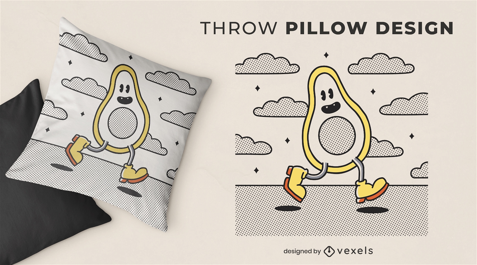
Retro cartoon avocado throw pillow design
Choose a folder
All favorites
Create new
Save
Retro cartoon avocado throw pillow design
Editable text
Print ready
for Merch
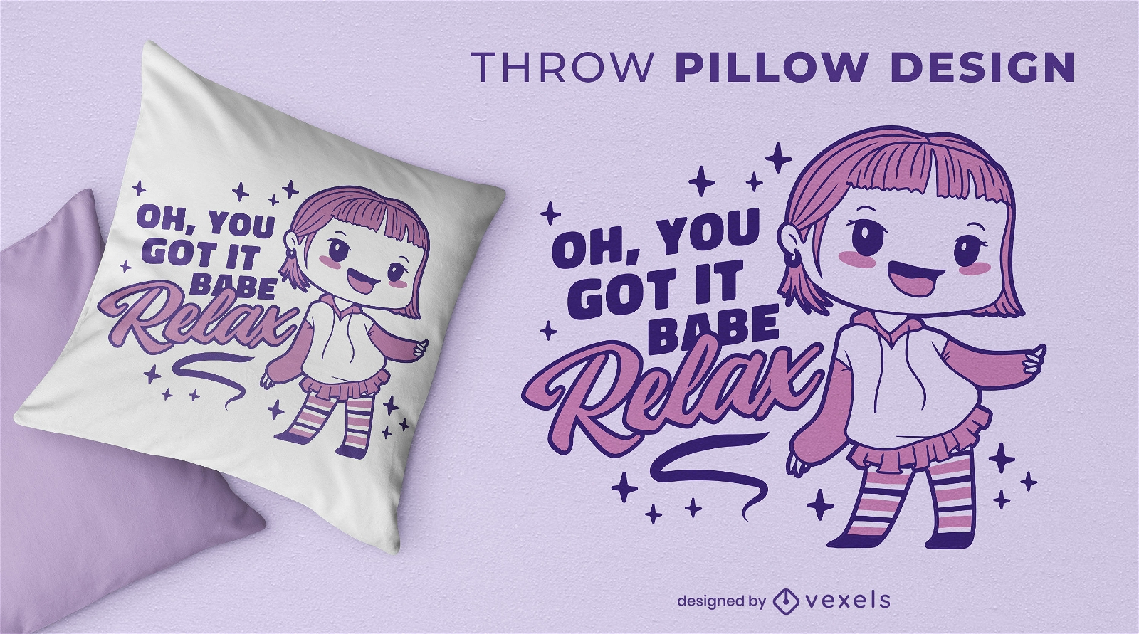
Cute cartoon girl throw pillow design
Choose a folder
All favorites
Create new
Save
Cute cartoon girl throw pillow design
Print ready
for Merch
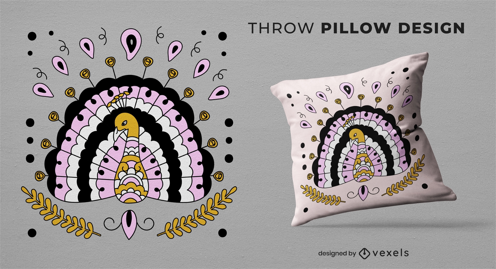
Peacock animal throw pillow design
Choose a folder
All favorites
Create new
Save
Peacock animal throw pillow design
Print ready
for Merch
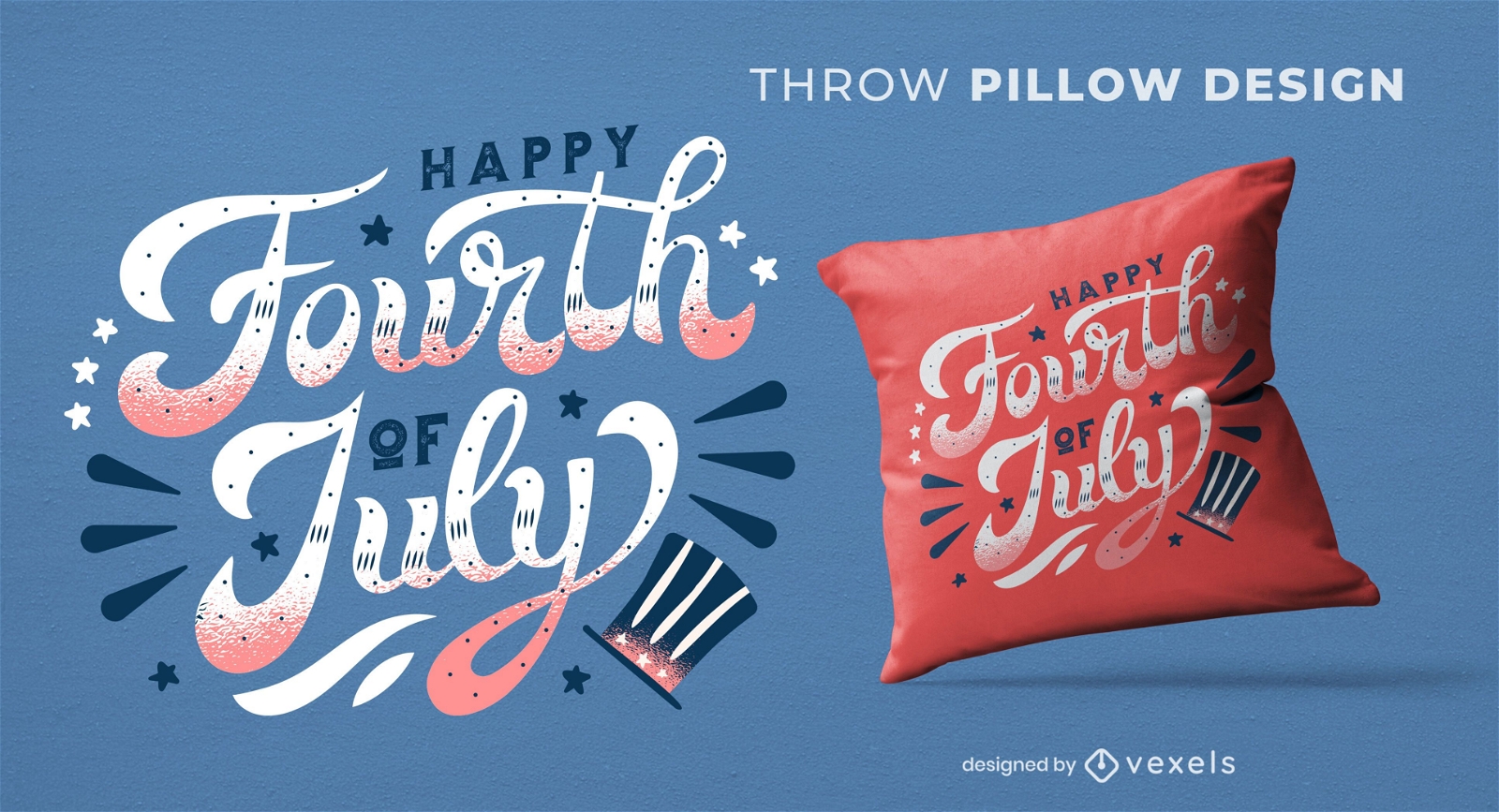
Fourth of july quote throw pillow design
Choose a folder
All favorites
Create new
Save
Fourth of july quote throw pillow design
Editable text
Print ready
for Merch
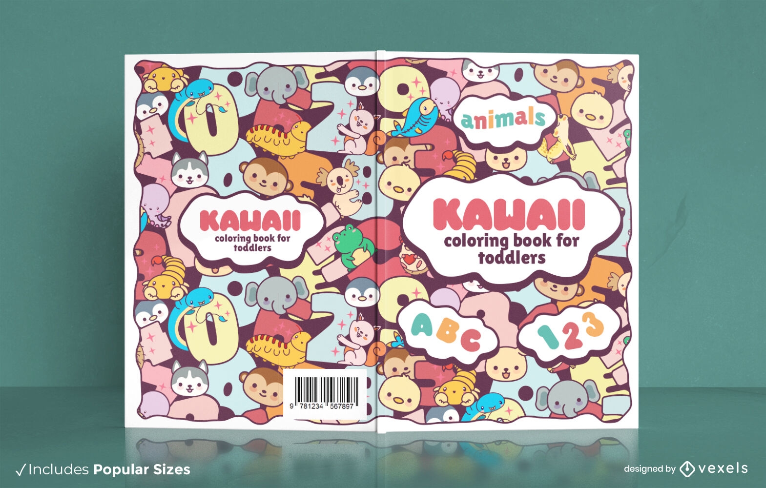
Kawaii animals for toddlers book cover design
Choose a folder
All favorites
Create new
Save
Kawaii animals for toddlers book cover design
Print ready
for Merch
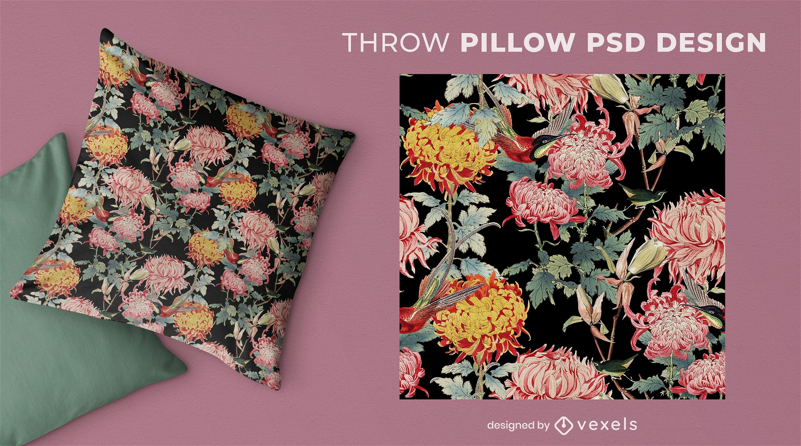
Asian style flowers throw pillow design
Choose a folder
All favorites
Create new
Save
Asian style flowers throw pillow design
Print ready
for Merch
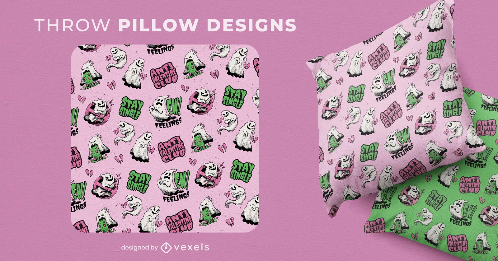
Anti Valentine's day ghost throw pillow design
Choose a folder
All favorites
Create new
Save
Anti Valentine's day ghost throw pillow design
Editable text
Print ready
for Merch
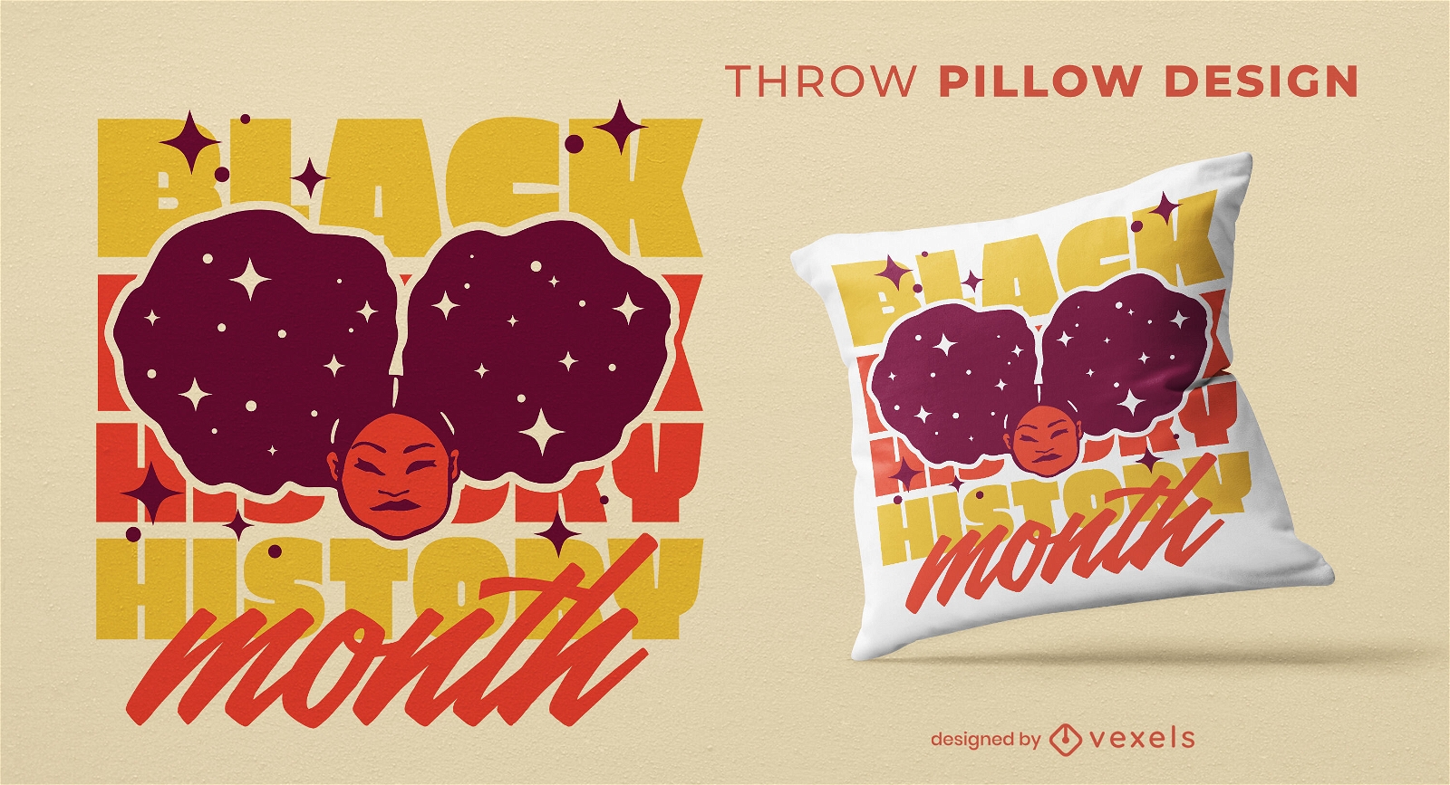
Afro hair girl throw pillow design
Choose a folder
All favorites
Create new
Save
Afro hair girl throw pillow design
Editable text
Print ready
for Merch
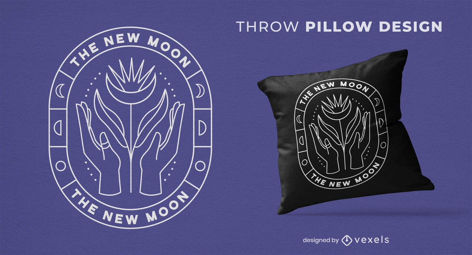
Moon and mystical hands throw pillow design
Choose a folder
All favorites
Create new
Save
Moon and mystical hands throw pillow design
Print ready
for Merch
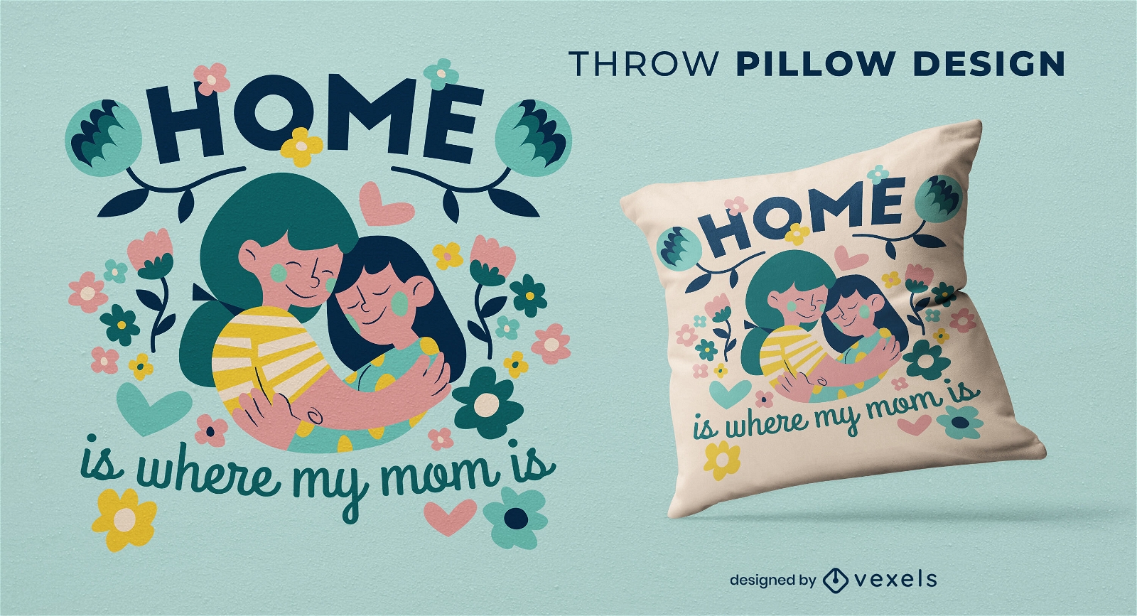
Mother and daughter throw pillow design
Choose a folder
All favorites
Create new
Save
Mother and daughter throw pillow design
Print ready
for Merch
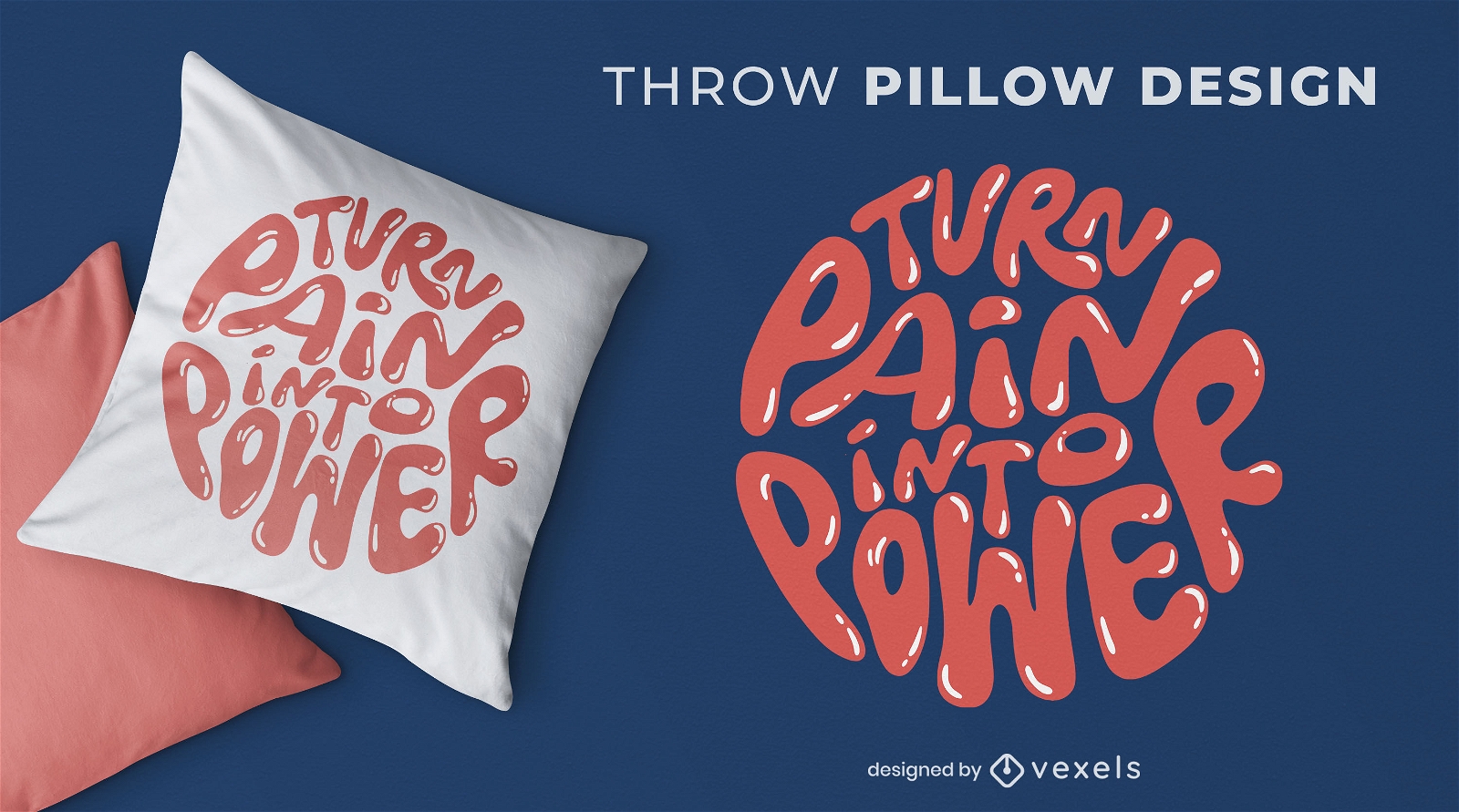
Pain and power lettering throw pillow design
Choose a folder
All favorites
Create new
Save
Pain and power lettering throw pillow design
Print ready
for Merch
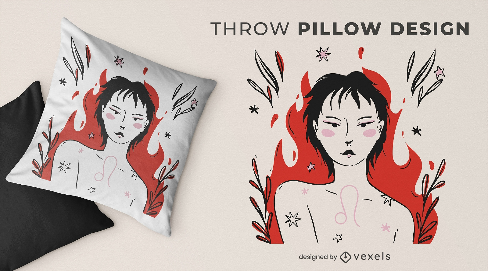
Leo girl throw pillow design
Choose a folder
All favorites
Create new
Save
Leo girl throw pillow design
Print ready
for Merch
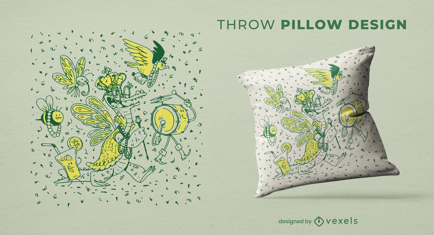
Mardi Gras duotone throw pillow design
Choose a folder
All favorites
Create new
Save
Mardi Gras duotone throw pillow design
Print ready
for Merch
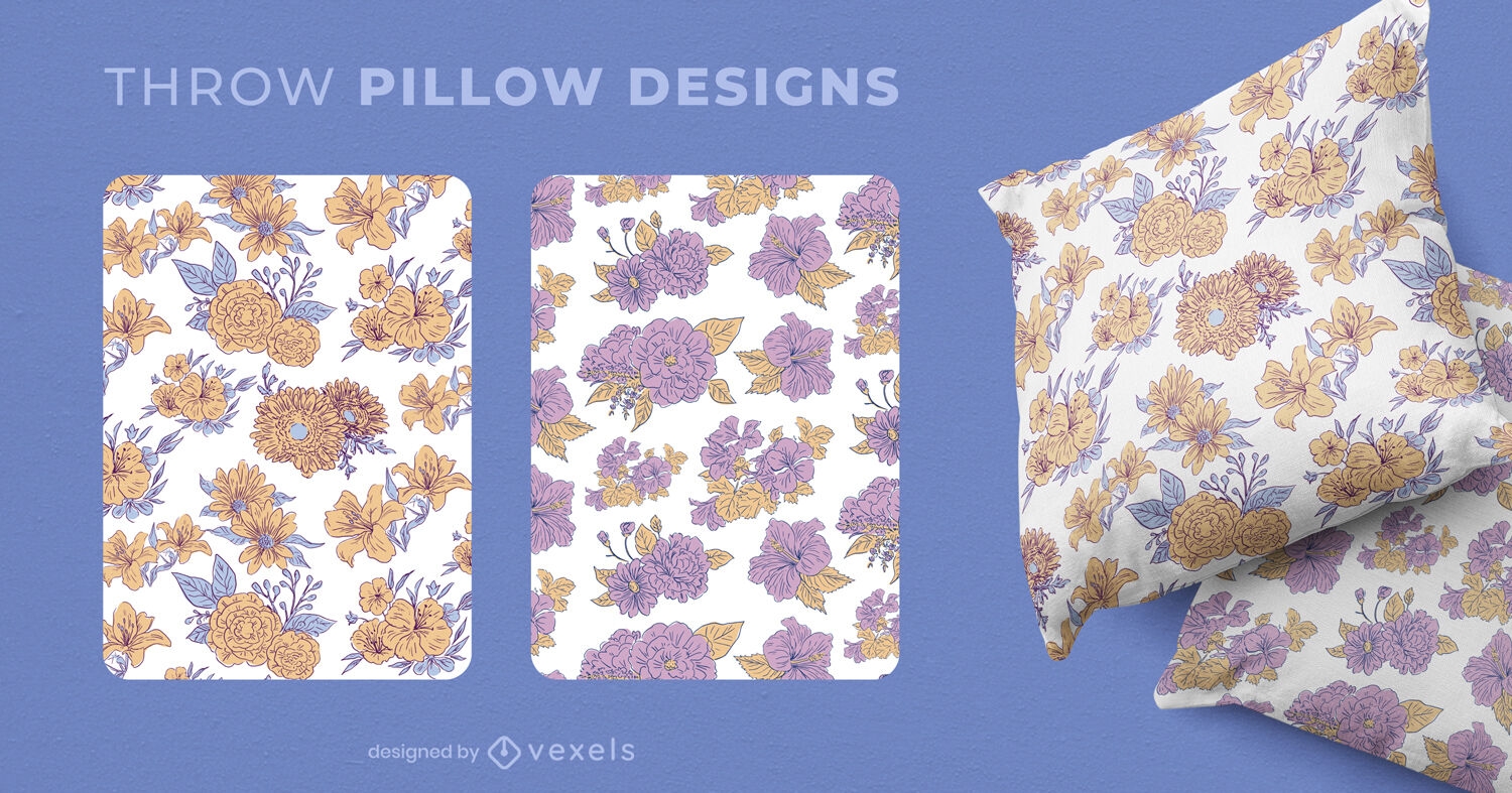
Flowers pattern throw pillow design
Choose a folder
All favorites
Create new
Save
Flowers pattern throw pillow design
Print ready
for Merch
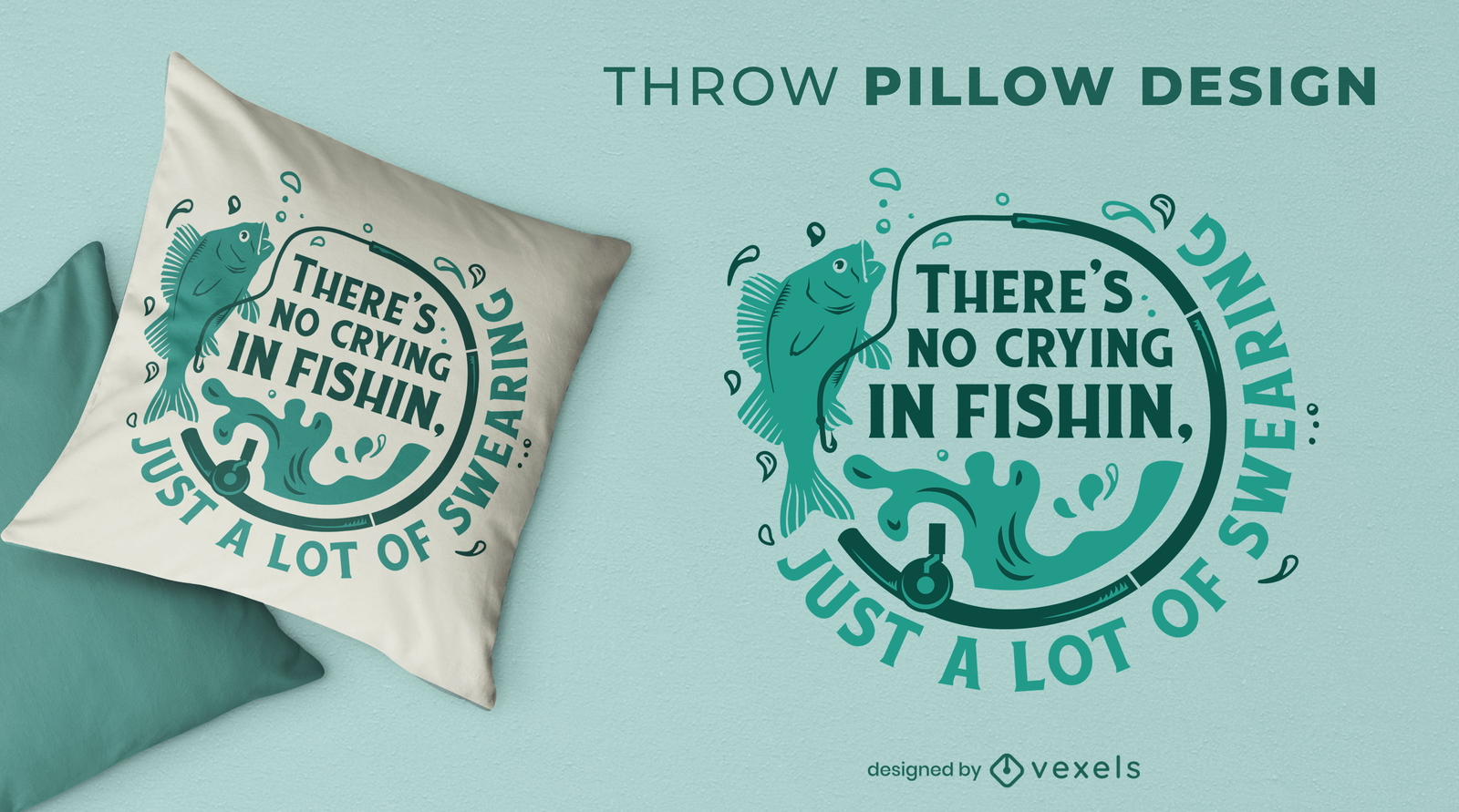
Funny fishing throw pillow design
Choose a folder
All favorites
Create new
Save
Funny fishing throw pillow design
Print ready
for Merch
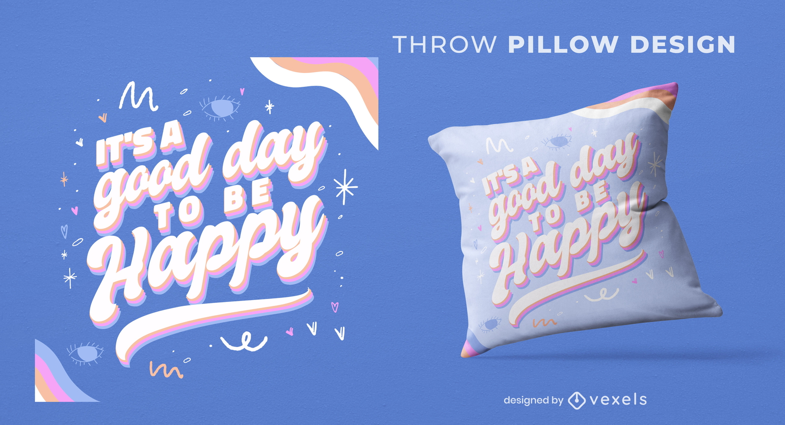
Happy day quote throw pillow design
Choose a folder
All favorites
Create new
Save
Happy day quote throw pillow design
Print ready
for Merch
Continuous line flower throw pillow design
Choose a folder
All favorites
Create new
Save
Continuous line flower throw pillow design
Print ready
for Merch
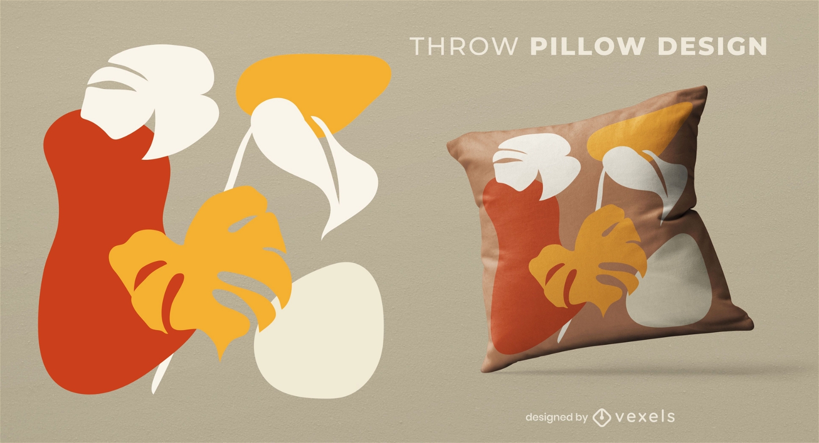
Leaf shapes throw pillow design
Choose a folder
All favorites
Create new
Save
Leaf shapes throw pillow design
Print ready
for Merch
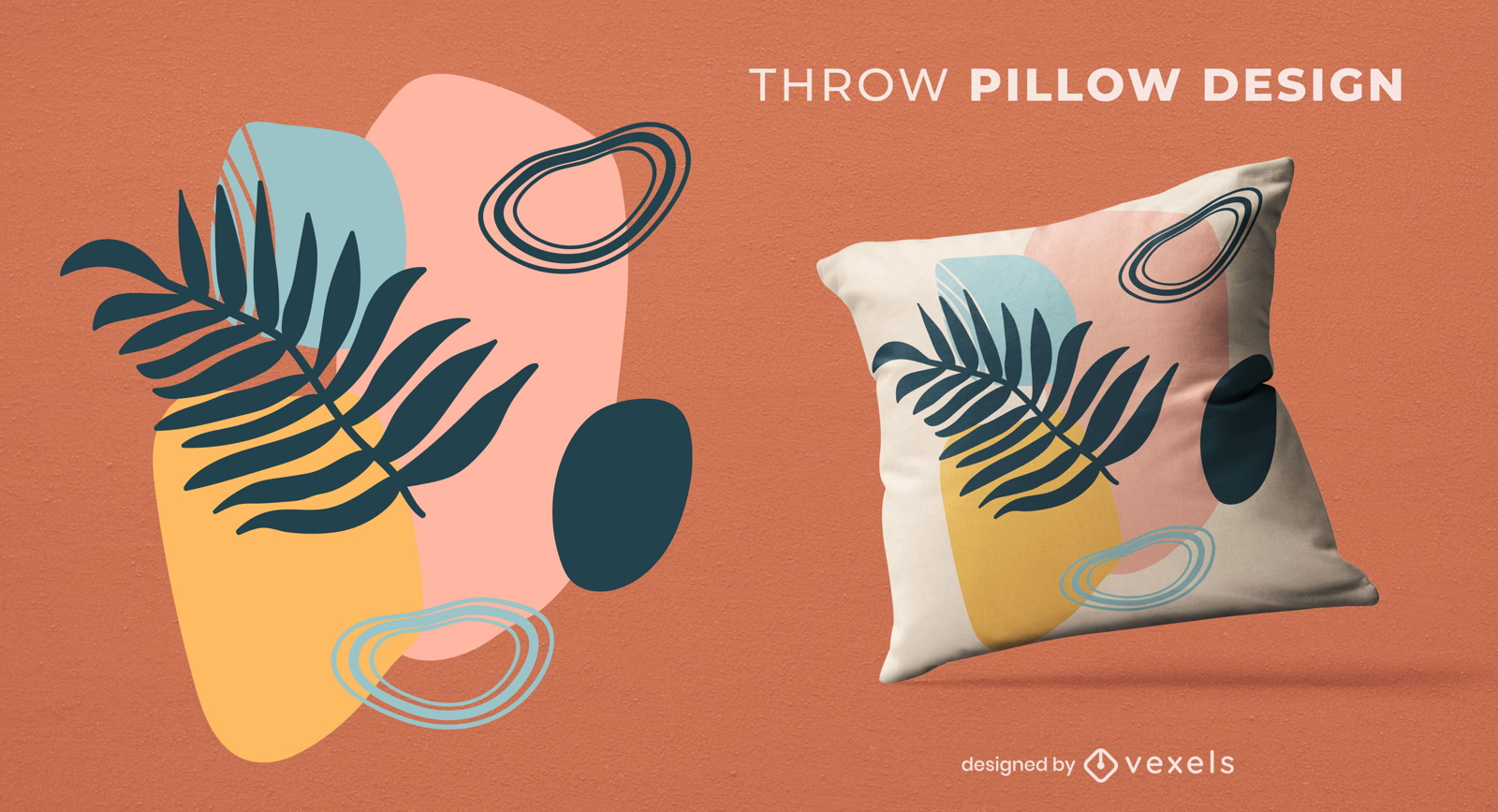
Abstract organic leaves throw pillow design
Choose a folder
All favorites
Create new
Save
Abstract organic leaves throw pillow design
Premium
Cougar illustration PNG Design
Choose a folder
All favorites
Create new
Save
Cougar illustration PNG Design
Print ready
for Merch
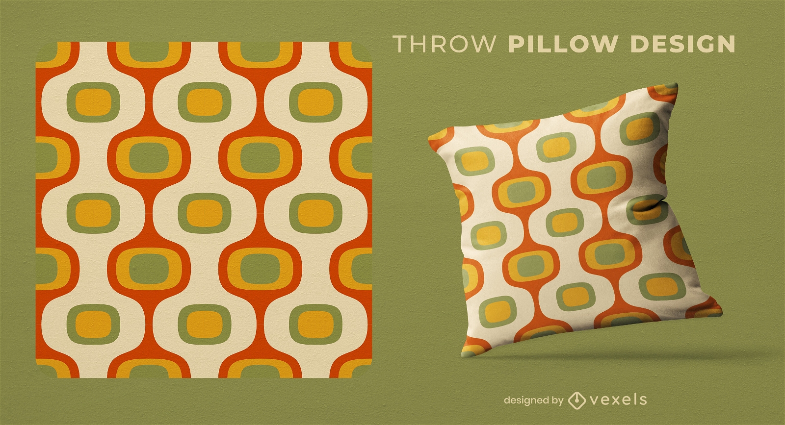
Retro patterns throw pillow design
Choose a folder
All favorites
Create new
Save
Retro patterns throw pillow design
Print ready
for Merch
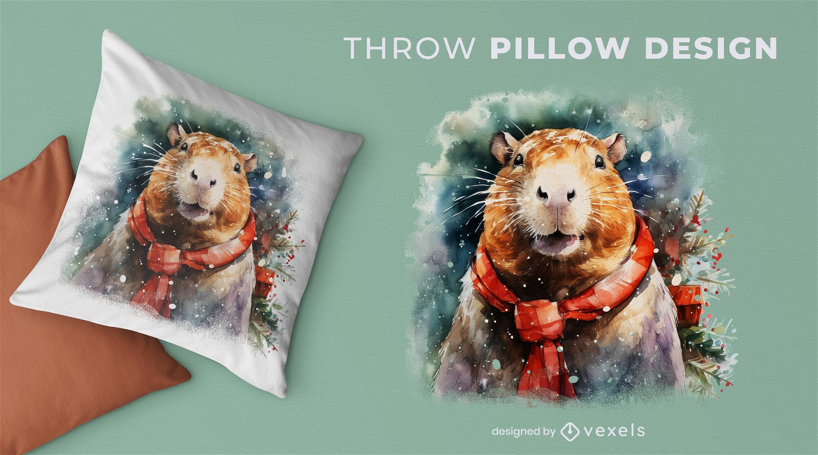
Capybara christmas throw pillow design
Choose a folder
All favorites
Create new
Save
Capybara christmas throw pillow design
Print ready
for Merch
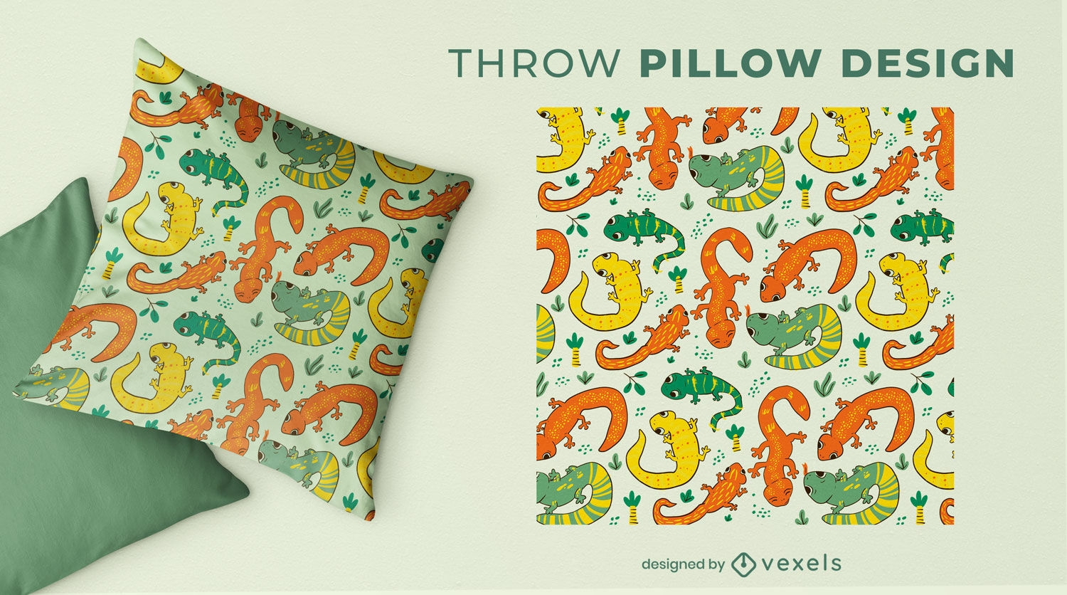
Colorful salamanders throw pillow design
Choose a folder
All favorites
Create new
Save
Colorful salamanders throw pillow design
Editable text
Print ready
for Merch
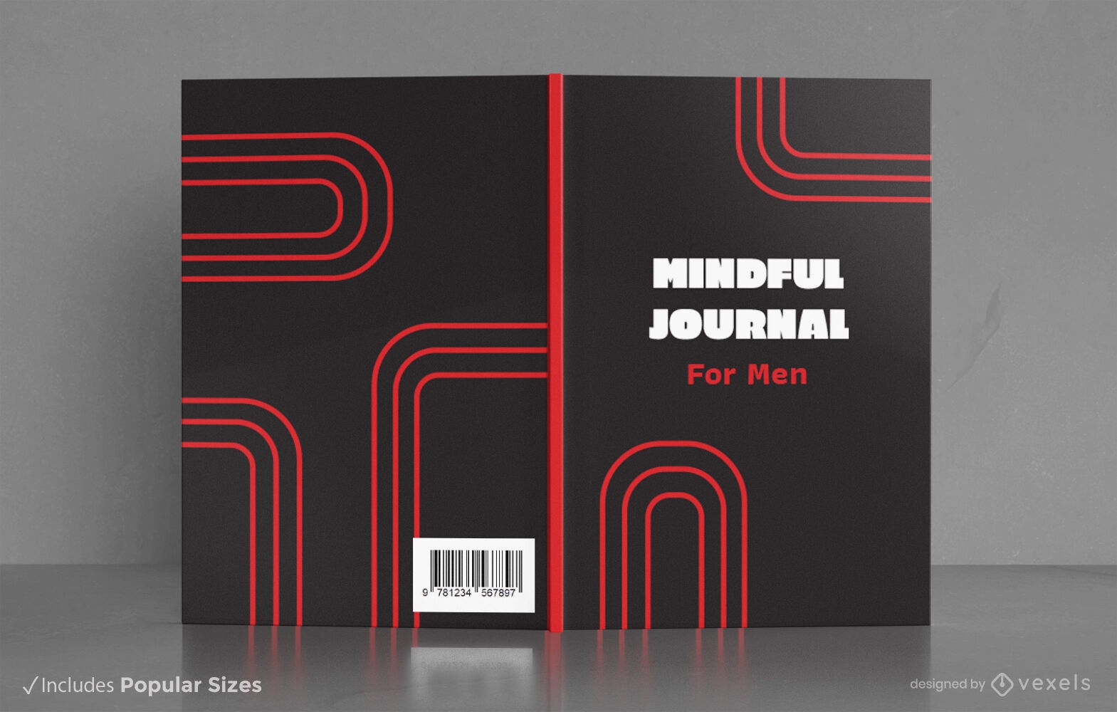
Minimalist mindful journal book cover design KDP
Choose a folder
All favorites
Create new
Save
Minimalist mindful journal book cover design KDP
Print ready
for Merch
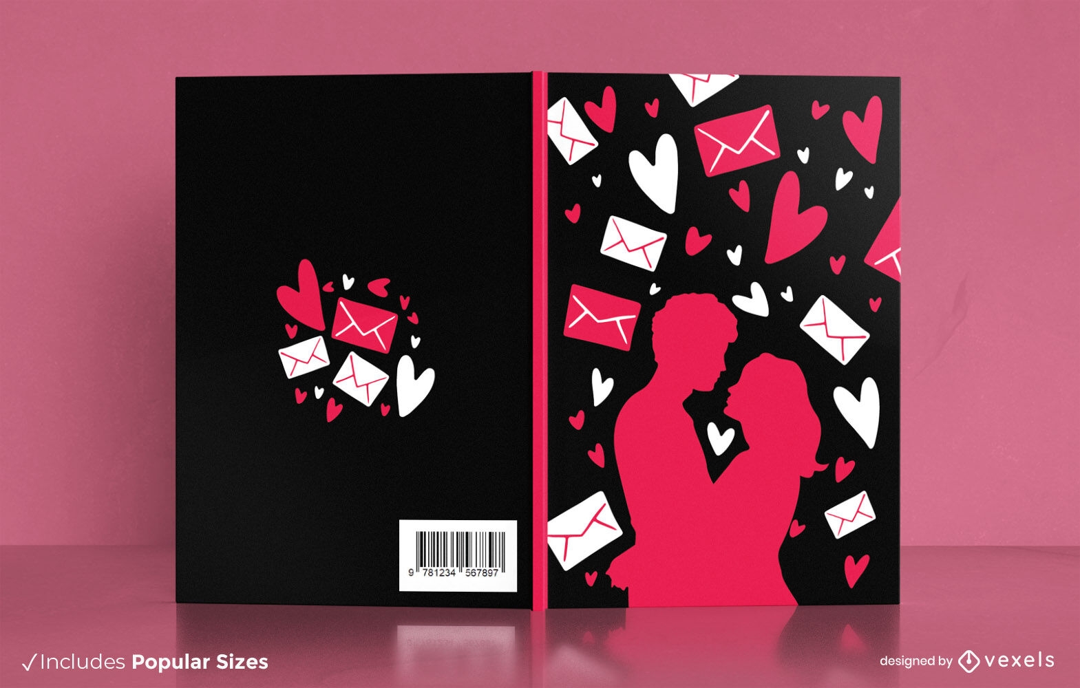
Romantic couple silhouette book cover design
Choose a folder
All favorites
Create new
Save
Romantic couple silhouette book cover design
Print ready
for Merch
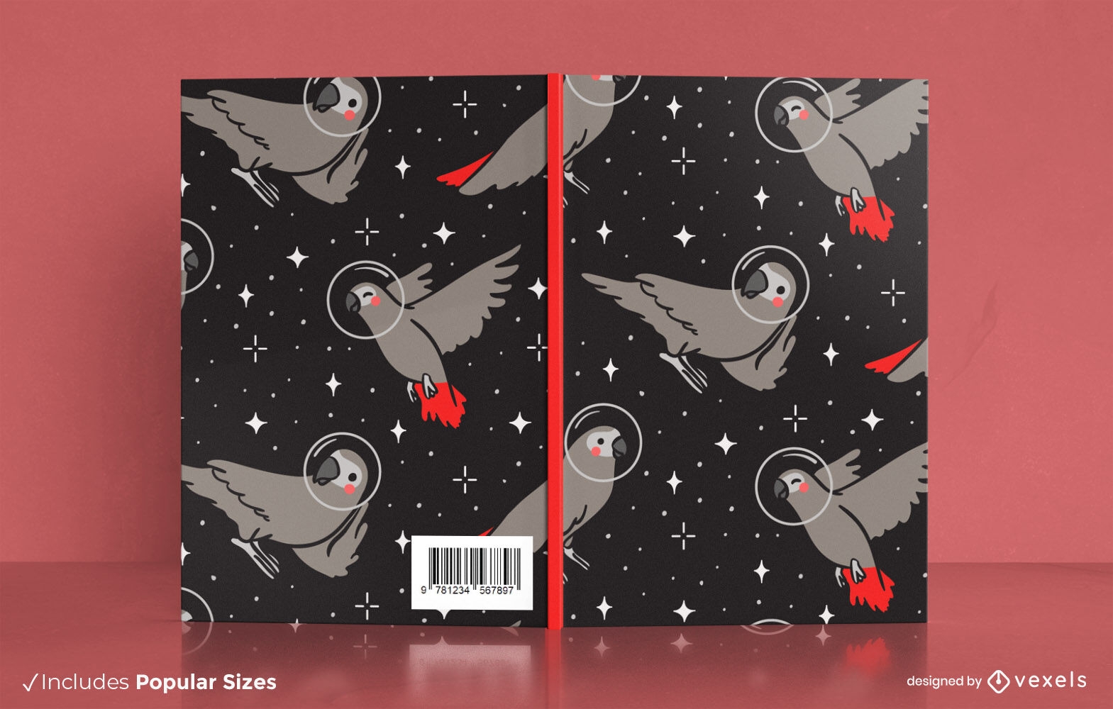
Astronaut parrot book cover design
Choose a folder
All favorites
Create new
Save
Astronaut parrot book cover design
Editable text
Print ready
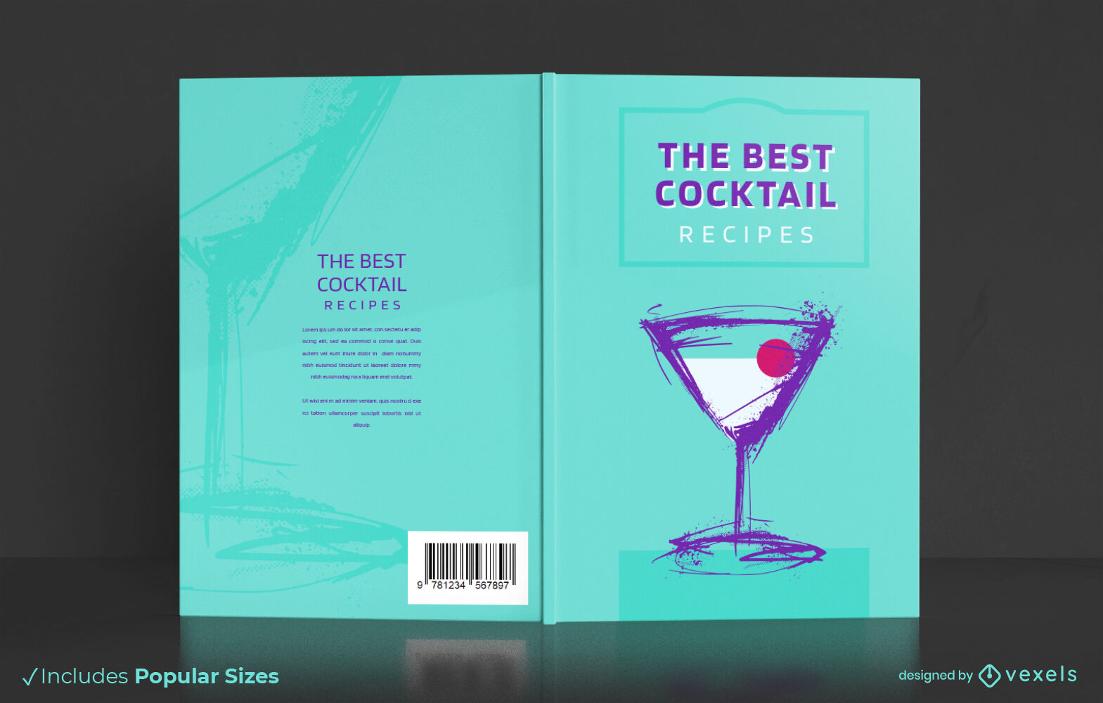
Alcoholic cocktail drink book cover design
Choose a folder
All favorites
Create new
Save
Alcoholic cocktail drink book cover design
Editable text
Print ready
for Merch
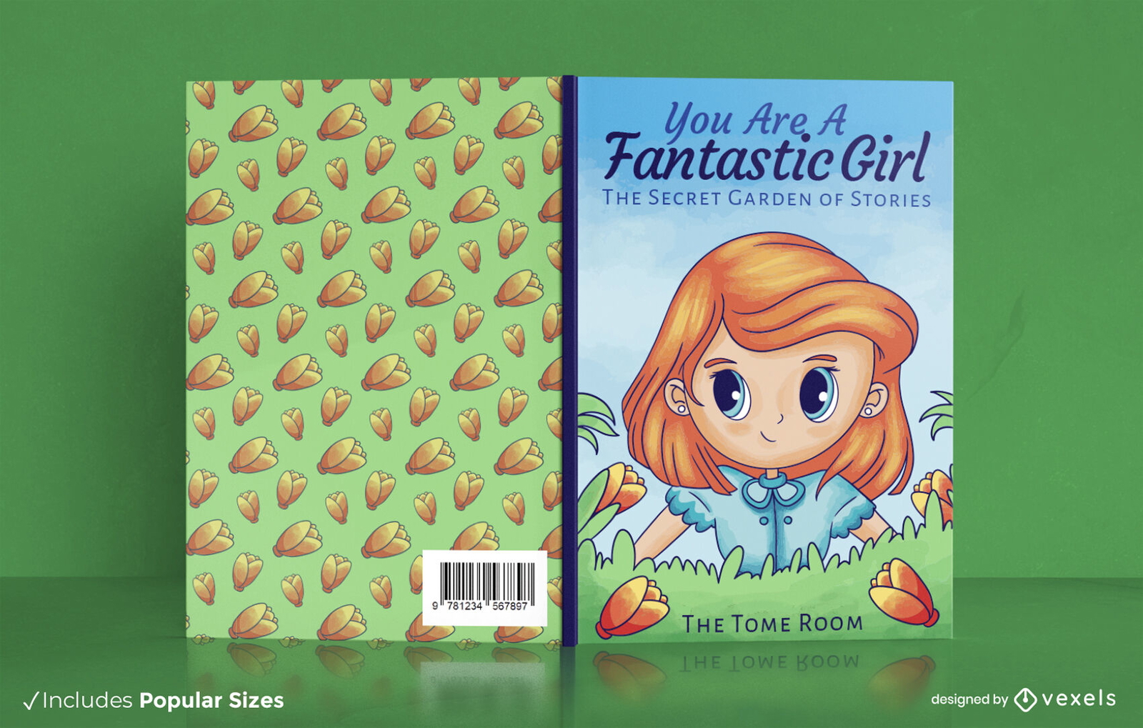
Redhead girl in garden book cover design
Choose a folder
All favorites
Create new
Save
Redhead girl in garden book cover design
Print ready
for Merch
Blue tie die throw pillow design
Choose a folder
All favorites
Create new
Save
Blue tie die throw pillow design
Print ready
for Merch
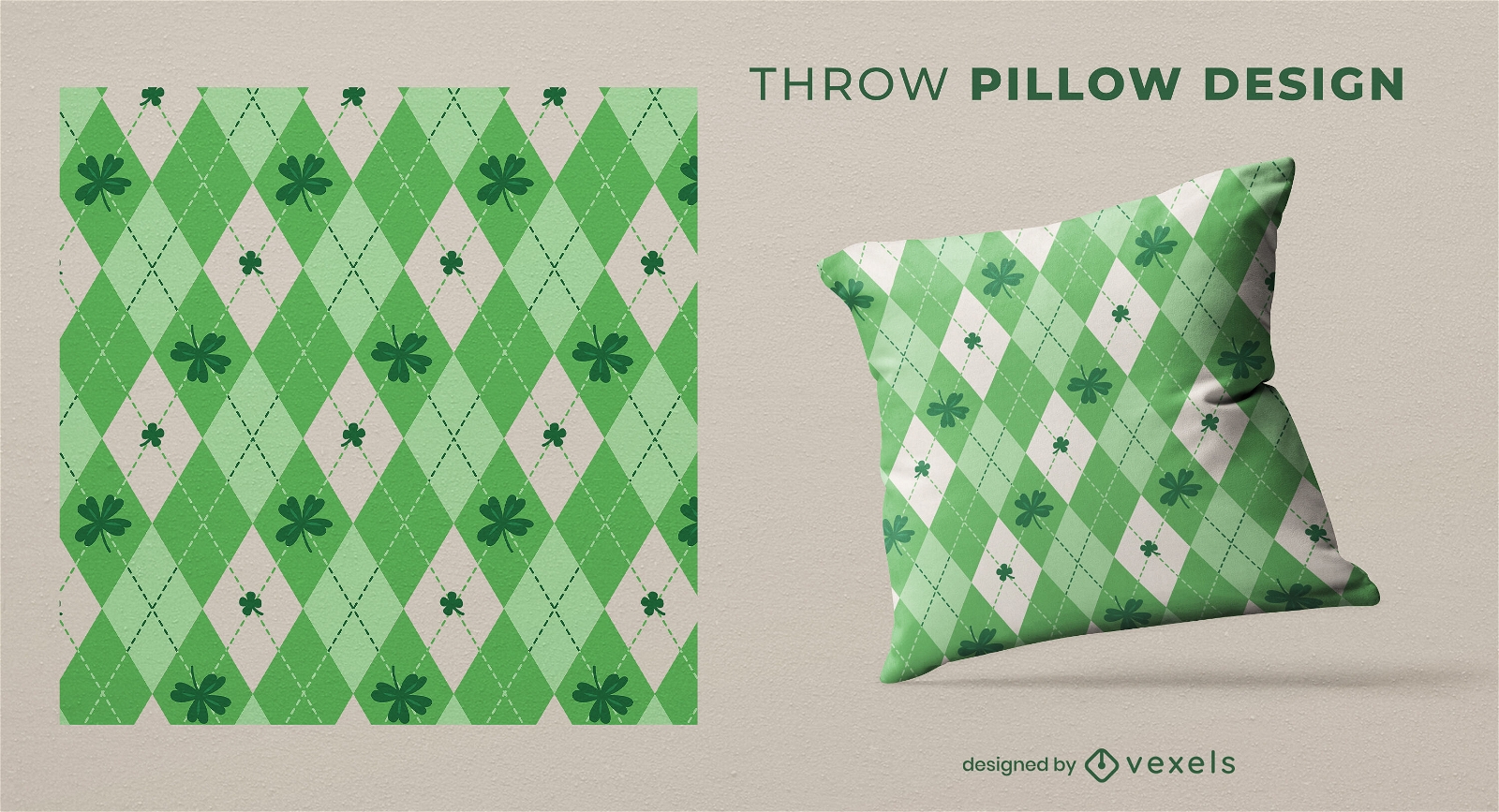
St patricks irish plaid throw pillow design
Choose a folder
All favorites
Create new
Save
St patricks irish plaid throw pillow design
Editable text
Print ready
for Merch
Maine coon cats book cover design KDP
Choose a folder
All favorites
Create new
Save
Maine coon cats book cover design KDP
Print ready
for Merch
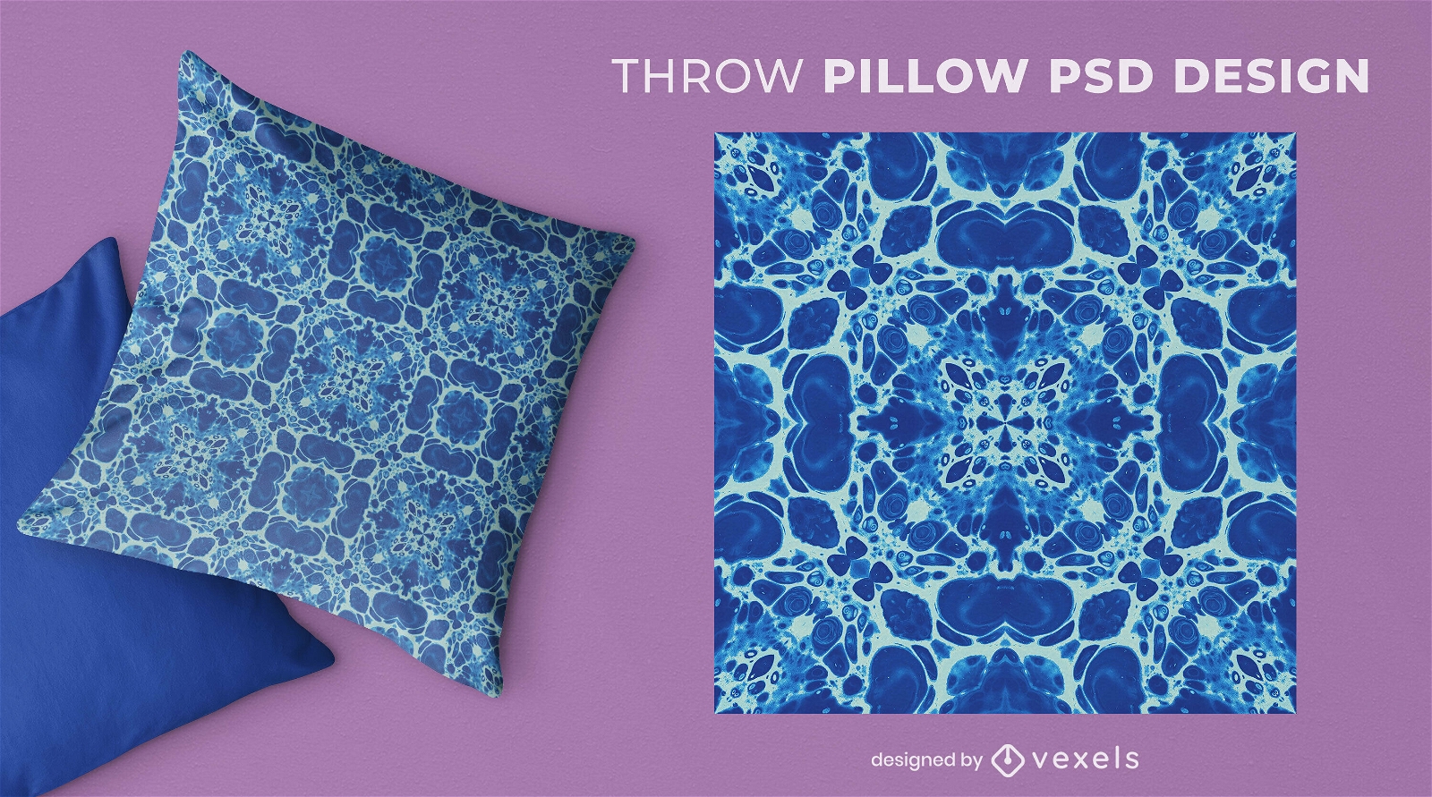
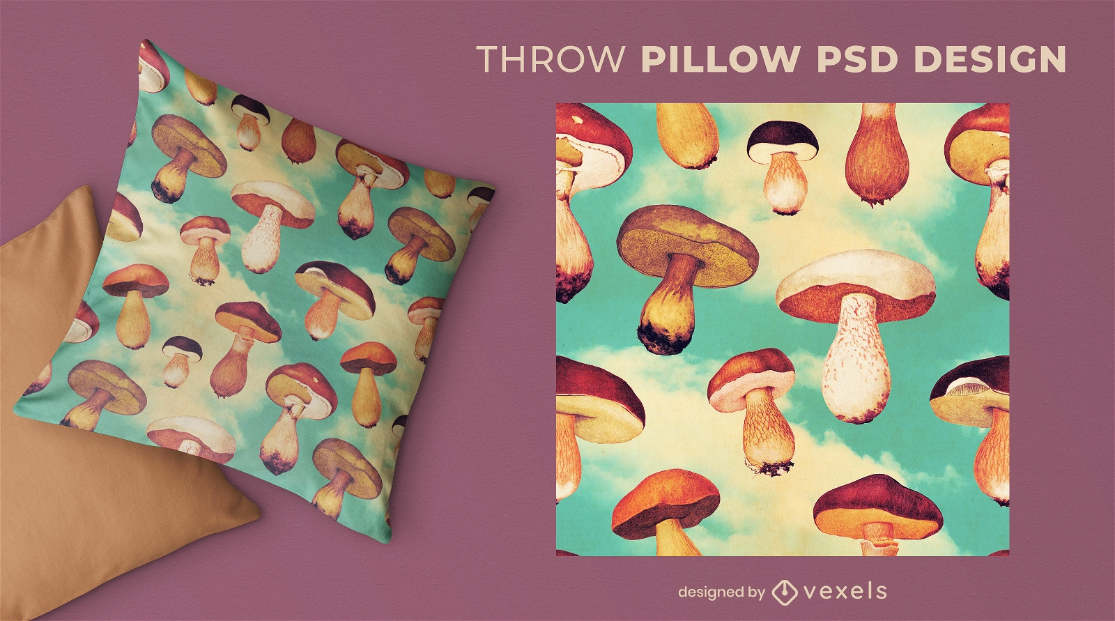
Mushrooms flying in the sky throw pillow psd
Choose a folder
All favorites
Create new
Save
Mushrooms flying in the sky throw pillow psd
Editable text
Print ready
for Merch
Animal print texture book cover design
Choose a folder
All favorites
Create new
Save
Animal print texture book cover design
Print ready
for Merch
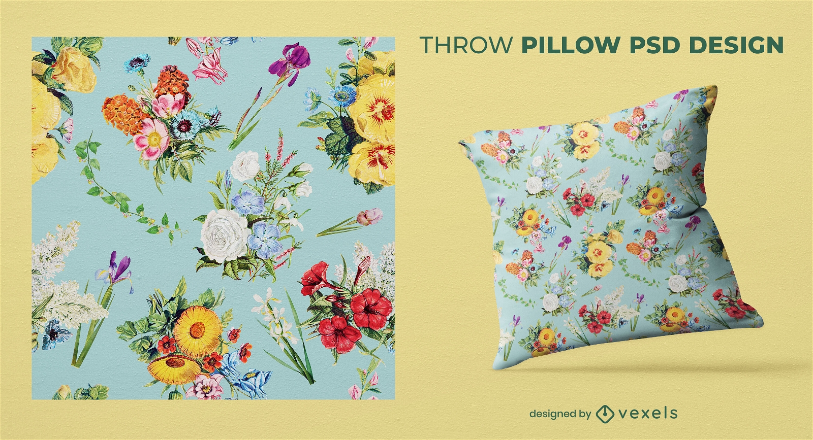
Vintage flowers pattern throw pillow design
Choose a folder
All favorites
Create new
Save
Vintage flowers pattern throw pillow design
Print ready
for Merch
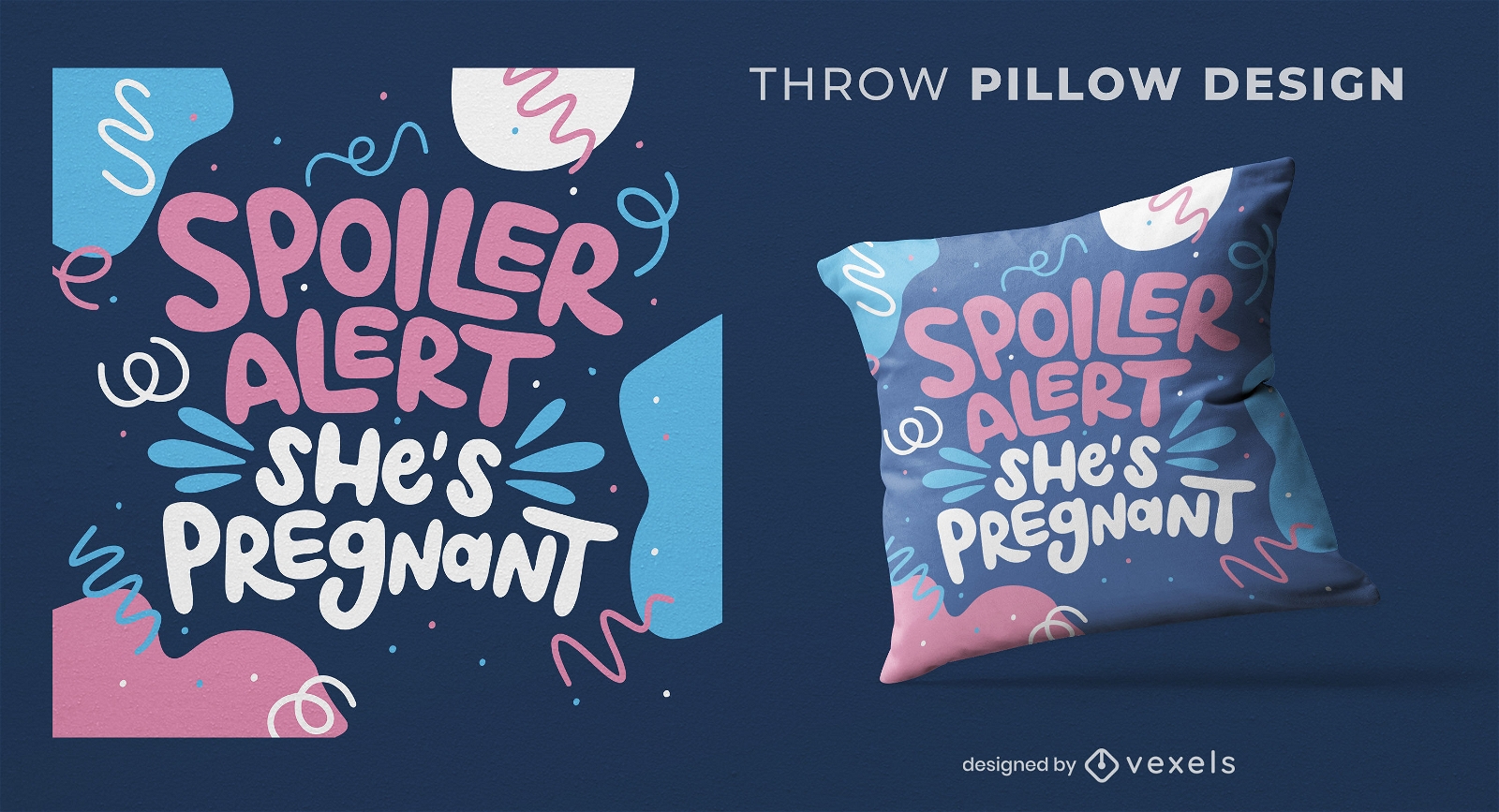
Baby announcement spoiler throw pillow design
Choose a folder
All favorites
Create new
Save
Baby announcement spoiler throw pillow design
Editable text
Print ready
for Merch
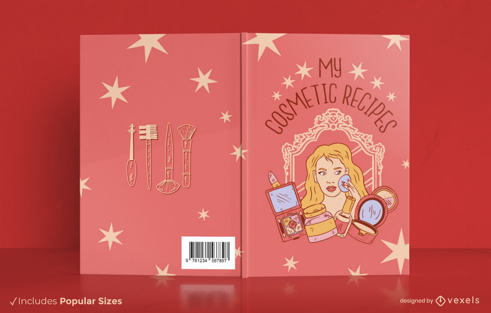
My cosmetic recipes book cover design KDP
Choose a folder
All favorites
Create new
Save
My cosmetic recipes book cover design KDP
Editable text
Print ready
for Merch
Floral unicorn motivation throw pillow design
Choose a folder
All favorites
Create new
Save
Floral unicorn motivation throw pillow design
Print ready
for Merch
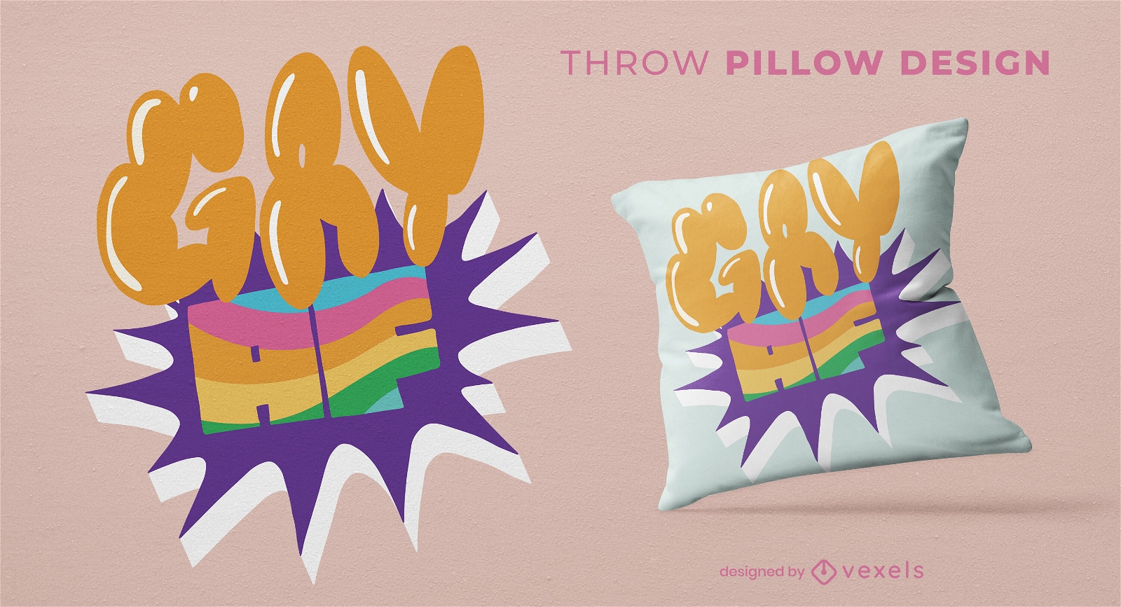
Gay AF quote throw pillow design
Choose a folder
All favorites
Create new
Save
Gay AF quote throw pillow design
Print ready
for Merch
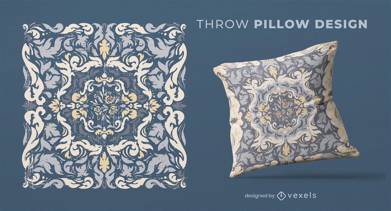
Organic Concentric Throw Pillow Design
Choose a folder
All favorites
Create new
Save
Organic Concentric Throw Pillow Design
Boost Your Business
With The Leading Graphic Platform For Merch.
SEE PLANS
Next
of 24
prev page
next page