Design Library
New Merch Designs
T-Shirts
Vectors
Trending Merch Designs
PNGs & SVGs
Mockups
T-Shirt PSD Templates
Explore Designs
KDP Designs
Posters
Mugs
Phone Cases
Tote Bags
Pillows
Design Tools
Merch Designer
New!
Mockup Generator
AI Design Generator
Image Vectorizer
Quote Generator
T-Shirt Maker (Old)
Resources
Merch Digest
Blog
Help Center
Learn About Merch
Feedback
Corporate Solutions
Enterprise
API Access
Design Studio
Bulk Design Production
Pricing
Loading...
Sign Up
Login
All
maps
Design Library
New Merch Designs
T-Shirts
Vectors
Trending Merch Designs
PNGs & SVGs
Mockups
T-Shirt PSD Templates
Explore Designs
KDP Designs
Posters
Mugs
Phone Cases
Tote Bags
Pillows
Design Tools
Merch Designer
New!
Mockup Generator
AI Design Generator
Image Vectorizer
Quote Generator
T-Shirt Maker (Old)
Resources
Merch Digest
Blog
Help Center
Learn About Merch
Feedback
Corporate Solutions
Enterprise
API Access
Design Studio
Bulk Design Production
PLANS
All
maps
5260 maps Graphics and Designs
Maps Graphics to download
Related:
world maps
,
base maps
,
world livestock maps
Sort by
Most relevant
Sponsored results by
Get 15% off with code: VEXELS15
Show more
Premium
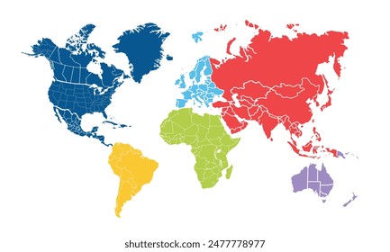
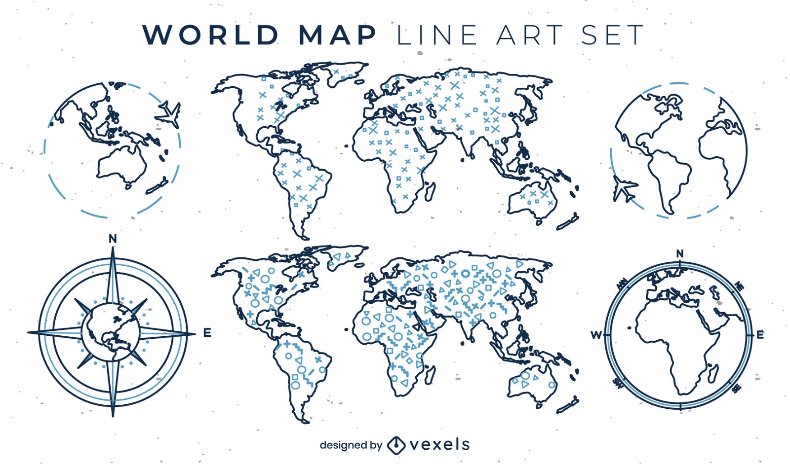
World map set of line art elements
Choose a folder
All favorites
Create new
Save
World map set of line art elements
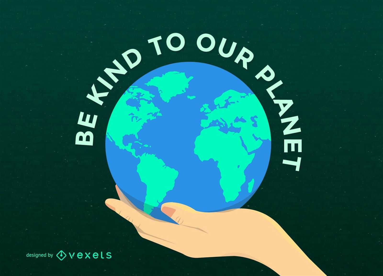
Earth Day Planet on Hand
Choose a folder
All favorites
Create new
Save
Earth Day Planet on Hand
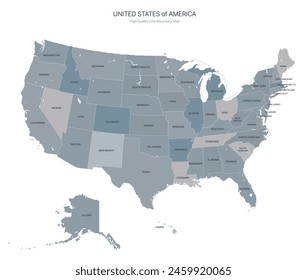
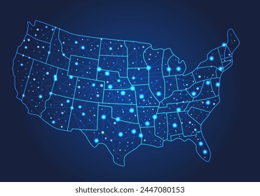
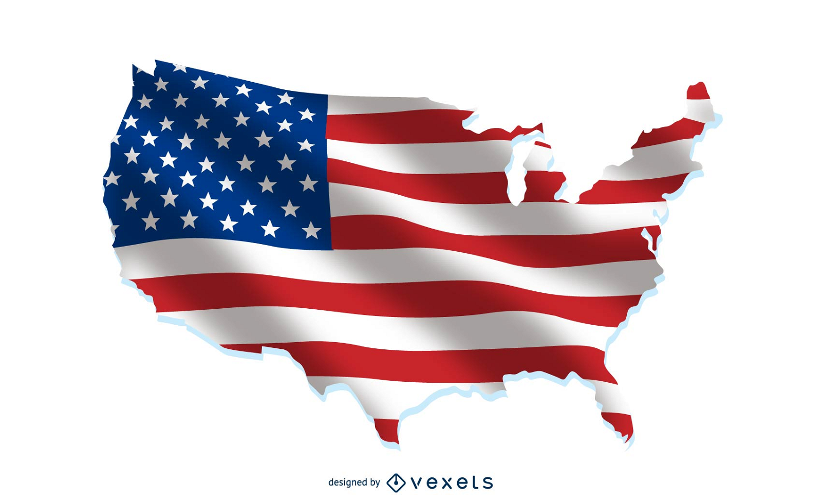
USA flag over country map
Choose a folder
All favorites
Create new
Save
USA flag over country map
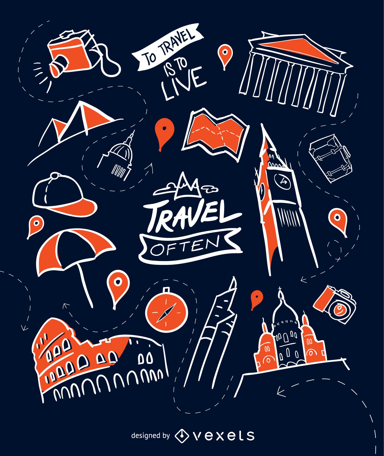
Hand-drawn travel wallpaper
Choose a folder
All favorites
Create new
Save
Hand-drawn travel wallpaper
Crayons set semi flat PNG Design
Choose a folder
All favorites
Create new
Save
Crayons set semi flat PNG Design
Premium
Great job badge PNG Design
Choose a folder
All favorites
Create new
Save
Great job badge PNG Design
Pirate Treasure Vector Set
Choose a folder
All favorites
Create new
Save
Pirate Treasure Vector Set
Mental health is priority badge PNG Design
Choose a folder
All favorites
Create new
Save
Mental health is priority badge PNG Design
Premium
Tarot card the fool filled stroke PNG Design
Choose a folder
All favorites
Create new
Save
Tarot card the fool filled stroke PNG Design
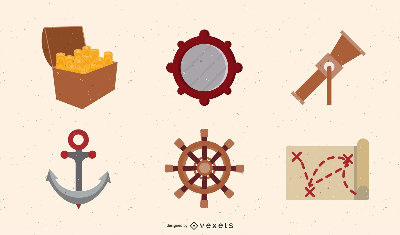
Ancient Nautical Theme Vector
Choose a folder
All favorites
Create new
Save
Ancient Nautical Theme Vector
Premium
Silhouette map of estonia for modern decor PNG Design
Choose a folder
All favorites
Create new
Save
Silhouette map of estonia for modern decor PNG Design
Premium
Bold silhouette map design of albania PNG Design
Choose a folder
All favorites
Create new
Save
Bold silhouette map design of albania PNG Design
Premium
Silhouette map of ivory coast design PNG Design
Choose a folder
All favorites
Create new
Save
Silhouette map of ivory coast design PNG Design
Premium
Stylized silhouette of a country map PNG Design
Choose a folder
All favorites
Create new
Save
Stylized silhouette of a country map PNG Design
Flat travel plane frame background
Choose a folder
All favorites
Create new
Save
Flat travel plane frame background
Tarot card death stroke PNG Design
Choose a folder
All favorites
Create new
Save
Tarot card death stroke PNG Design
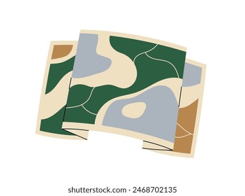
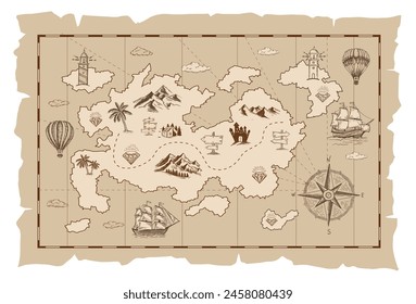
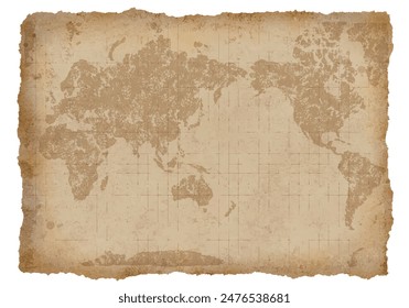
Old Map And Compass Vector 2
Choose a folder
All favorites
Create new
Save
Old Map And Compass Vector 2
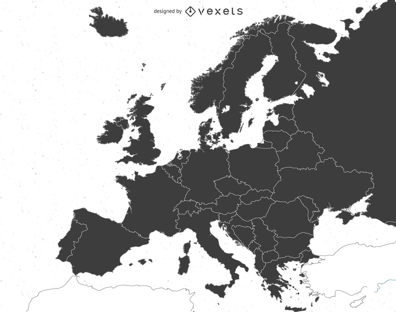
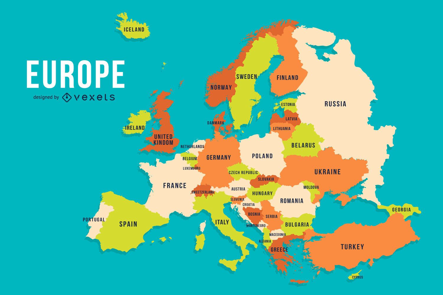
Europe map
Choose a folder
All favorites
Create new
Save
Europe map
Earth Map Vector
Choose a folder
All favorites
Create new
Save
Earth Map Vector
Tarot card the magician stroke PNG Design
Choose a folder
All favorites
Create new
Save
Tarot card the magician stroke PNG Design
Premium
Earth stone rock stone PNG Design
Choose a folder
All favorites
Create new
Save
Earth stone rock stone PNG Design
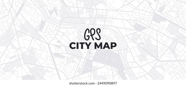
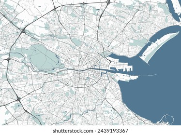
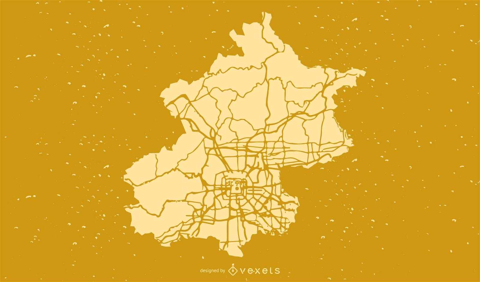
Beijing City Map Vector
Choose a folder
All favorites
Create new
Save
Beijing City Map Vector
Premium
Blue earth globe PNG Design
Choose a folder
All favorites
Create new
Save
Blue earth globe PNG Design
TV pixel art PNG Design
Choose a folder
All favorites
Create new
Save
TV pixel art PNG Design
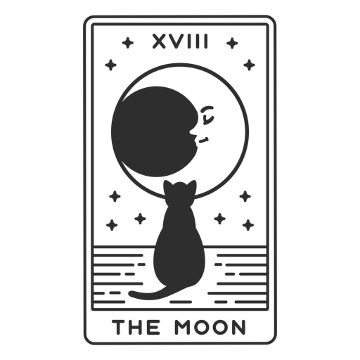
Tarot card the moon cut out PNG Design
Choose a folder
All favorites
Create new
Save
Tarot card the moon cut out PNG Design
Premium
Pink typewriter with hearts on it PNG Design
Choose a folder
All favorites
Create new
Save
Pink typewriter with hearts on it PNG Design
Premium
Ukraine national flag PNG Design
Choose a folder
All favorites
Create new
Save
Ukraine national flag PNG Design
Tileable pattern
Premium
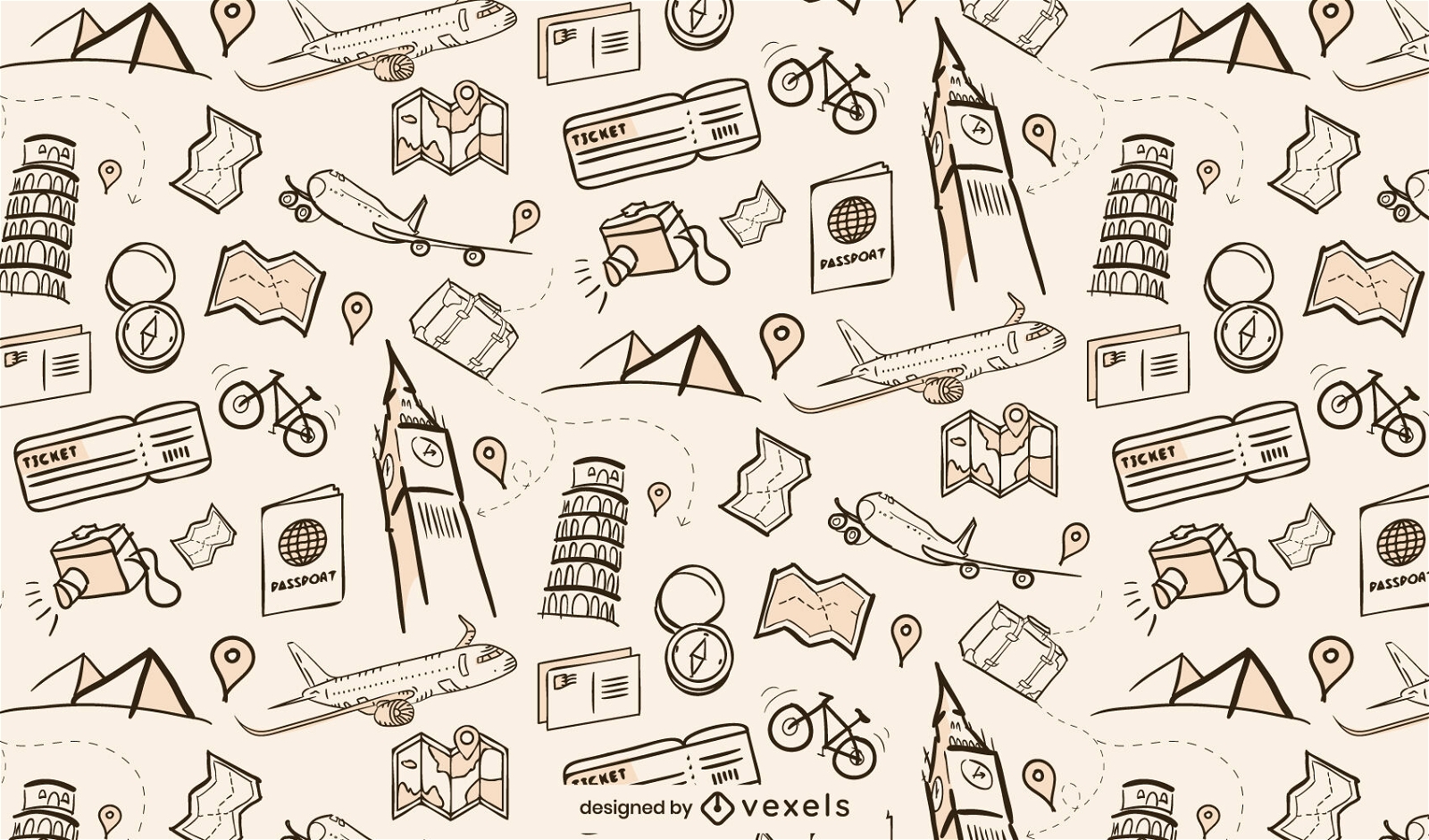
World travel elements pattern design
Choose a folder
All favorites
Create new
Save
World travel elements pattern design
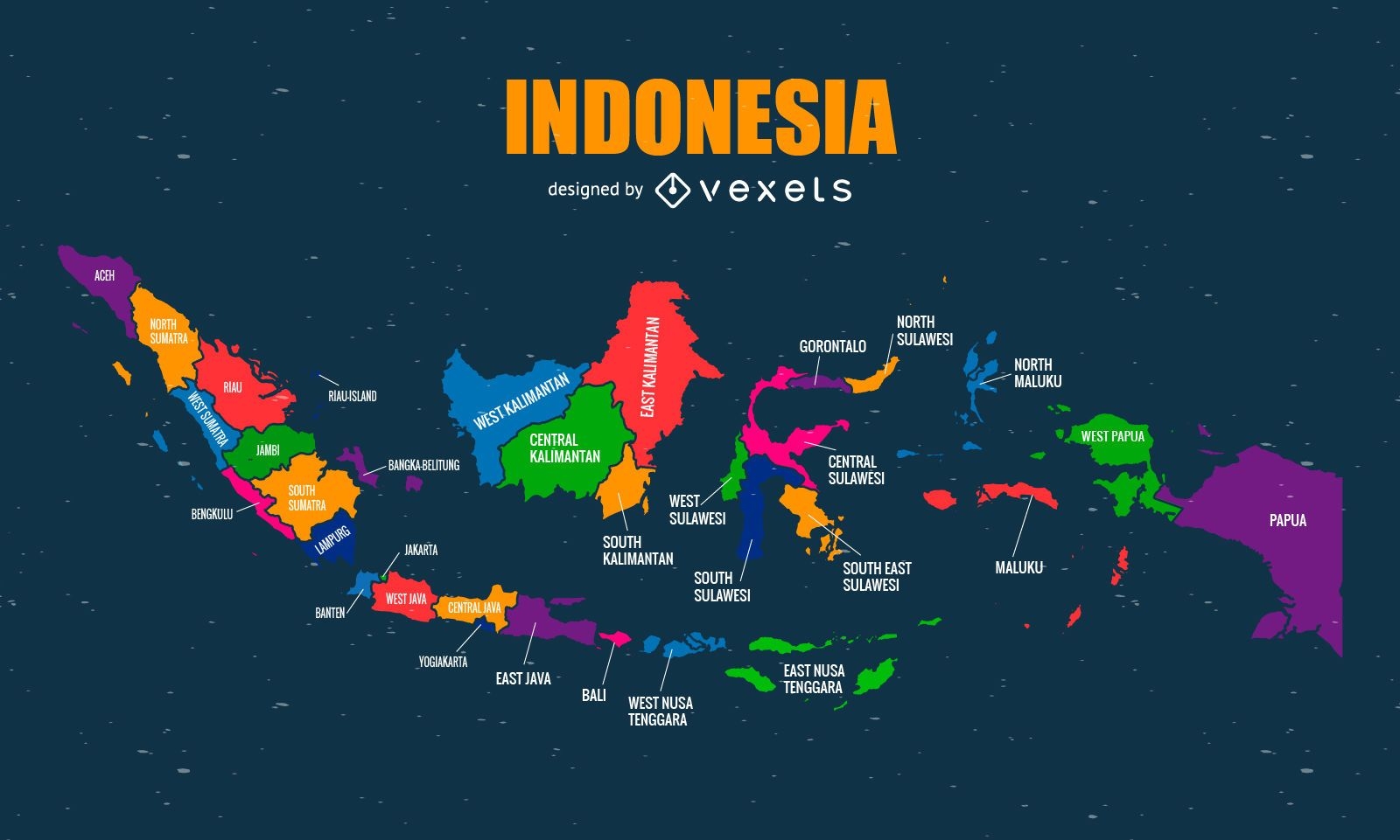
Colorful Indonesia map
Choose a folder
All favorites
Create new
Save
Colorful Indonesia map
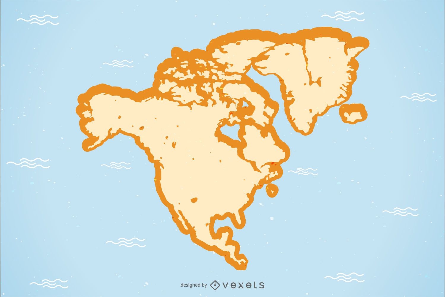
North America Map Vector
Choose a folder
All favorites
Create new
Save
North America Map Vector
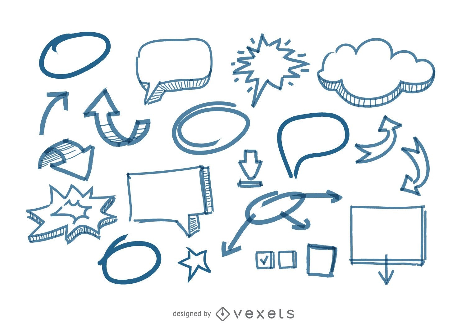
Speech Bubbles and arrows doodles
Choose a folder
All favorites
Create new
Save
Speech Bubbles and arrows doodles
Brain with hearts stroke PNG Design
Choose a folder
All favorites
Create new
Save
Brain with hearts stroke PNG Design
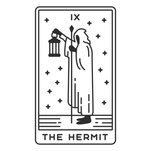
Tarot card the hermit filled stroke PNG Design
Choose a folder
All favorites
Create new
Save
Tarot card the hermit filled stroke PNG Design
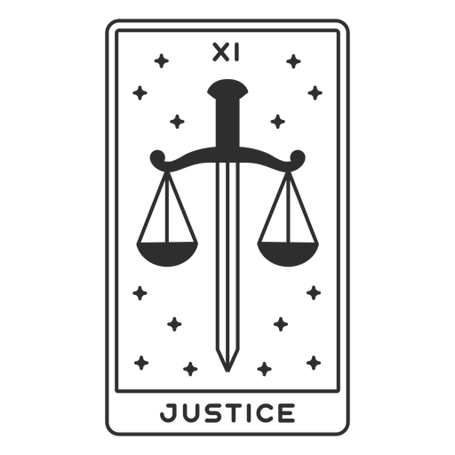
Tarot card justice filled stroke PNG Design
Choose a folder
All favorites
Create new
Save
Tarot card justice filled stroke PNG Design
South Carolina state stroke map PNG Design
Choose a folder
All favorites
Create new
Save
South Carolina state stroke map PNG Design
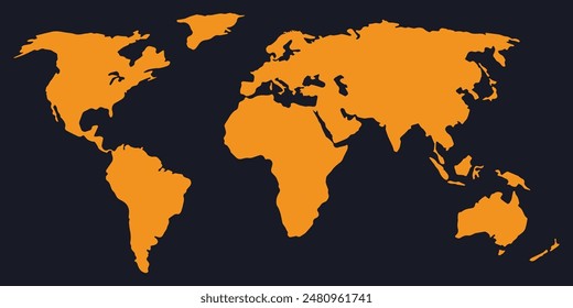
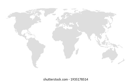
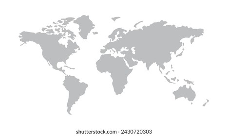
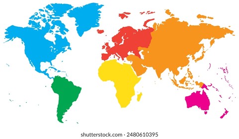
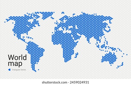
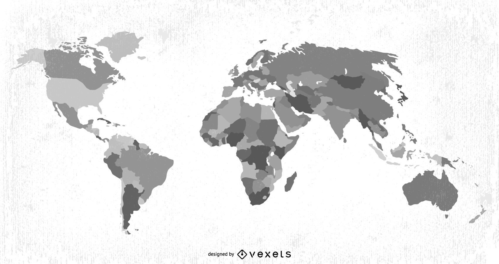
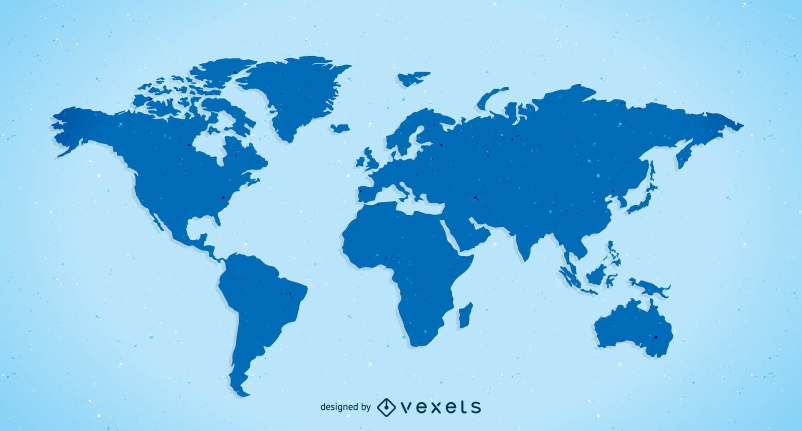
Free Vector Plain World Map
Choose a folder
All favorites
Create new
Save
Free Vector Plain World Map
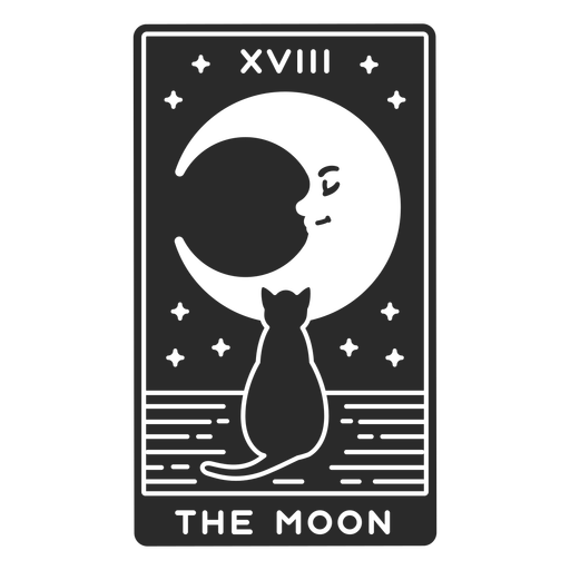
Tarot card the moon stroke PNG Design
Choose a folder
All favorites
Create new
Save
Tarot card the moon stroke PNG Design
Premium
Europe Colored Country Map Design
Choose a folder
All favorites
Create new
Save
Europe Colored Country Map Design
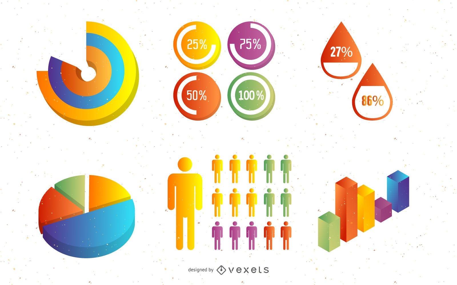
Glossy 3D Creative Infographic Pack Template
Choose a folder
All favorites
Create new
Save
Glossy 3D Creative Infographic Pack Template
Editable text
Print ready
for Merch
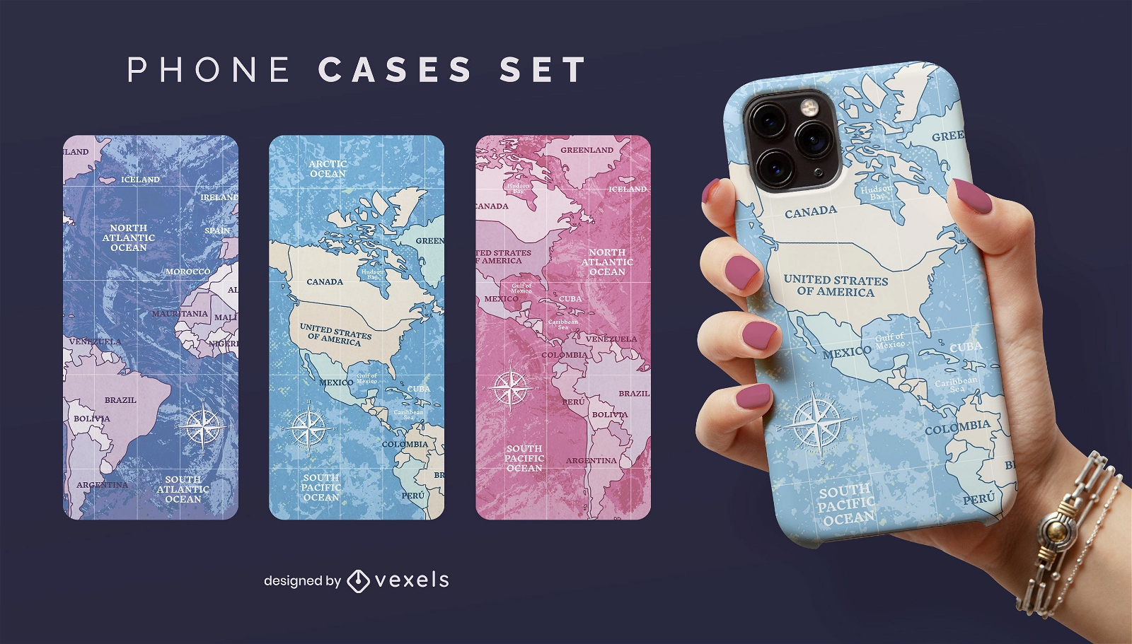
World map travelling phone case set
Choose a folder
All favorites
Create new
Save
World map travelling phone case set
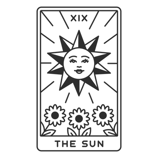
Tarot card the sun filled stroke PNG Design
Choose a folder
All favorites
Create new
Save
Tarot card the sun filled stroke PNG Design
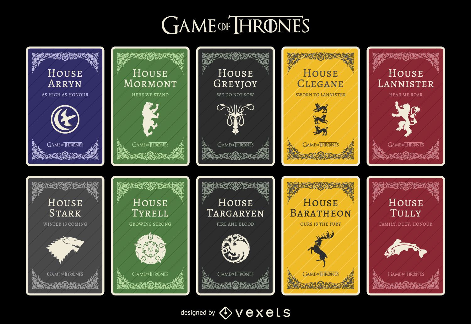
Game of Thrones houses
Choose a folder
All favorites
Create new
Save
Game of Thrones houses
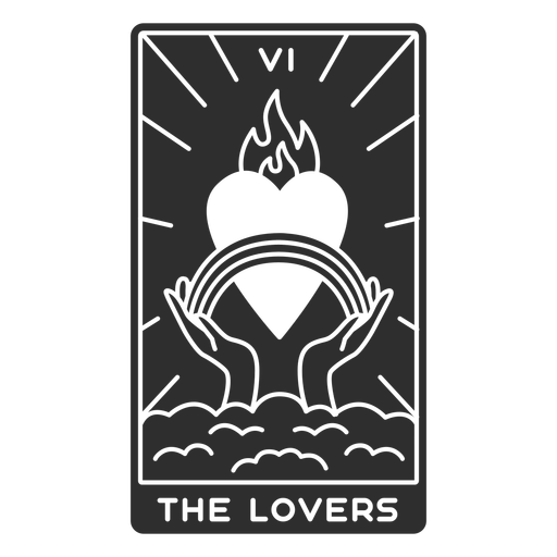
Tarot card the lovers cut out PNG Design
Choose a folder
All favorites
Create new
Save
Tarot card the lovers cut out PNG Design
Premium
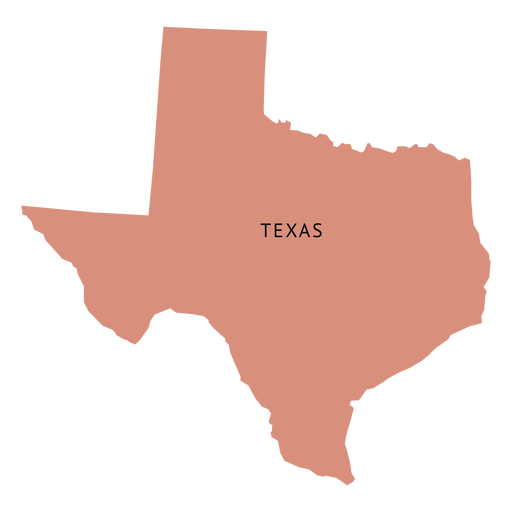
Texas state plain map PNG Design
Choose a folder
All favorites
Create new
Save
Texas state plain map PNG Design
Premium
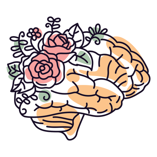
Brain and flowers color stroke PNG Design
Choose a folder
All favorites
Create new
Save
Brain and flowers color stroke PNG Design
Premium
Geometric puerto rico map illustration PNG Design
Choose a folder
All favorites
Create new
Save
Geometric puerto rico map illustration PNG Design
Premium
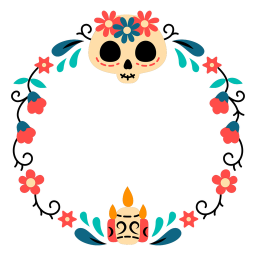
Day of the dead frame with flowers and skulls PNG Design
Choose a folder
All favorites
Create new
Save
Day of the dead frame with flowers and skulls PNG Design
Tarot card strength filled stroke PNG Design
Choose a folder
All favorites
Create new
Save
Tarot card strength filled stroke PNG Design
Premium
Croatia national flag PNG Design
Choose a folder
All favorites
Create new
Save
Croatia national flag PNG Design
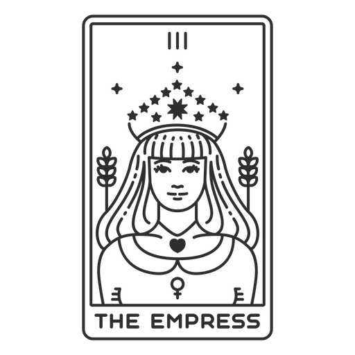
Tarot card the empress stroke PNG Design
Choose a folder
All favorites
Create new
Save
Tarot card the empress stroke PNG Design
Boost Your Business
With The Leading Graphic Platform For Merch.
SEE PLANS
Next
of 106
prev page
next page