Design Library
New Merch Designs
T-Shirts
Vectors
Trending Merch Designs
PNGs & SVGs
Mockups
T-Shirt PSD Templates
Explore Designs
KDP Designs
Posters
Mugs
Phone Cases
Tote Bags
Pillows
Design Tools
Merch Designer
New!
Mockup Generator
AI Design Generator
Image Vectorizer
Quote Generator
T-Shirt Maker (Old)
Resources
Merch Digest
Blog
Help Center
Learn About Merch
Feedback
Corporate Solutions
Enterprise
API Access
Design Studio
Bulk Design Production
Pricing
Loading...
Sign Up
Login
All
maps
Design Library
New Merch Designs
T-Shirts
Vectors
Trending Merch Designs
PNGs & SVGs
Mockups
T-Shirt PSD Templates
Explore Designs
KDP Designs
Posters
Mugs
Phone Cases
Tote Bags
Pillows
Design Tools
Merch Designer
New!
Mockup Generator
AI Design Generator
Image Vectorizer
Quote Generator
T-Shirt Maker (Old)
Resources
Merch Digest
Blog
Help Center
Learn About Merch
Feedback
Corporate Solutions
Enterprise
API Access
Design Studio
Bulk Design Production
PLANS
All
maps
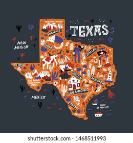
5263 maps Graphics and Designs
Maps Graphics to download
Related:
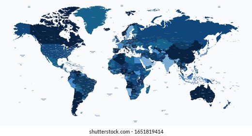
world maps
,
base maps
,
world livestock maps
Sort by
Most relevant
Sponsored results by
Get 15% off with code: VEXELS15
Show more
Premium
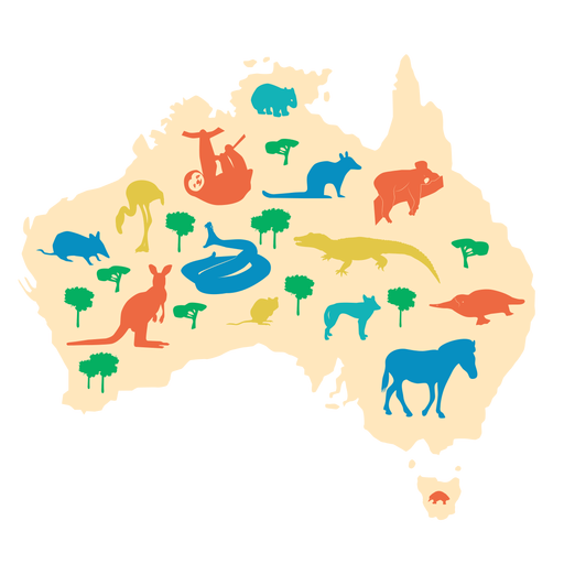
Australia illustration PNG Design
Choose a folder
All favorites
Create new
Save
Australia illustration PNG Design
Premium
Earth water drop icon PNG Design
Choose a folder
All favorites
Create new
Save
Earth water drop icon PNG Design
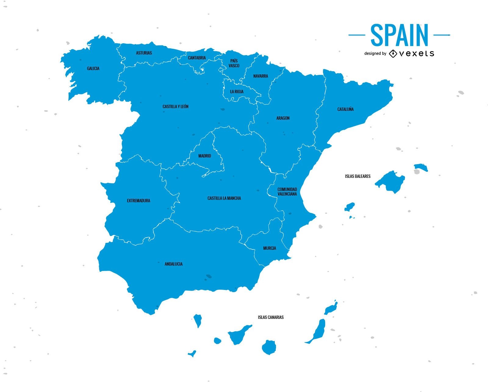
Spain administrative division map
Choose a folder
All favorites
Create new
Save
Spain administrative division map
Premium
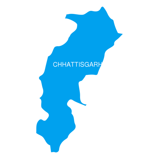
Chhattisgarh state map PNG Design
Choose a folder
All favorites
Create new
Save
Chhattisgarh state map PNG Design
Premium
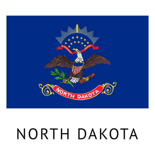
North dakota state flag PNG Design
Choose a folder
All favorites
Create new
Save
North dakota state flag PNG Design
Premium
Teacher Serious red glasses PNG Design
Choose a folder
All favorites
Create new
Save
Teacher Serious red glasses PNG Design
Premium
Save our planet label PNG Design
Choose a folder
All favorites
Create new
Save
Save our planet label PNG Design
Premium
Multi phase sphere icon infographic PNG Design
Choose a folder
All favorites
Create new
Save
Multi phase sphere icon infographic PNG Design
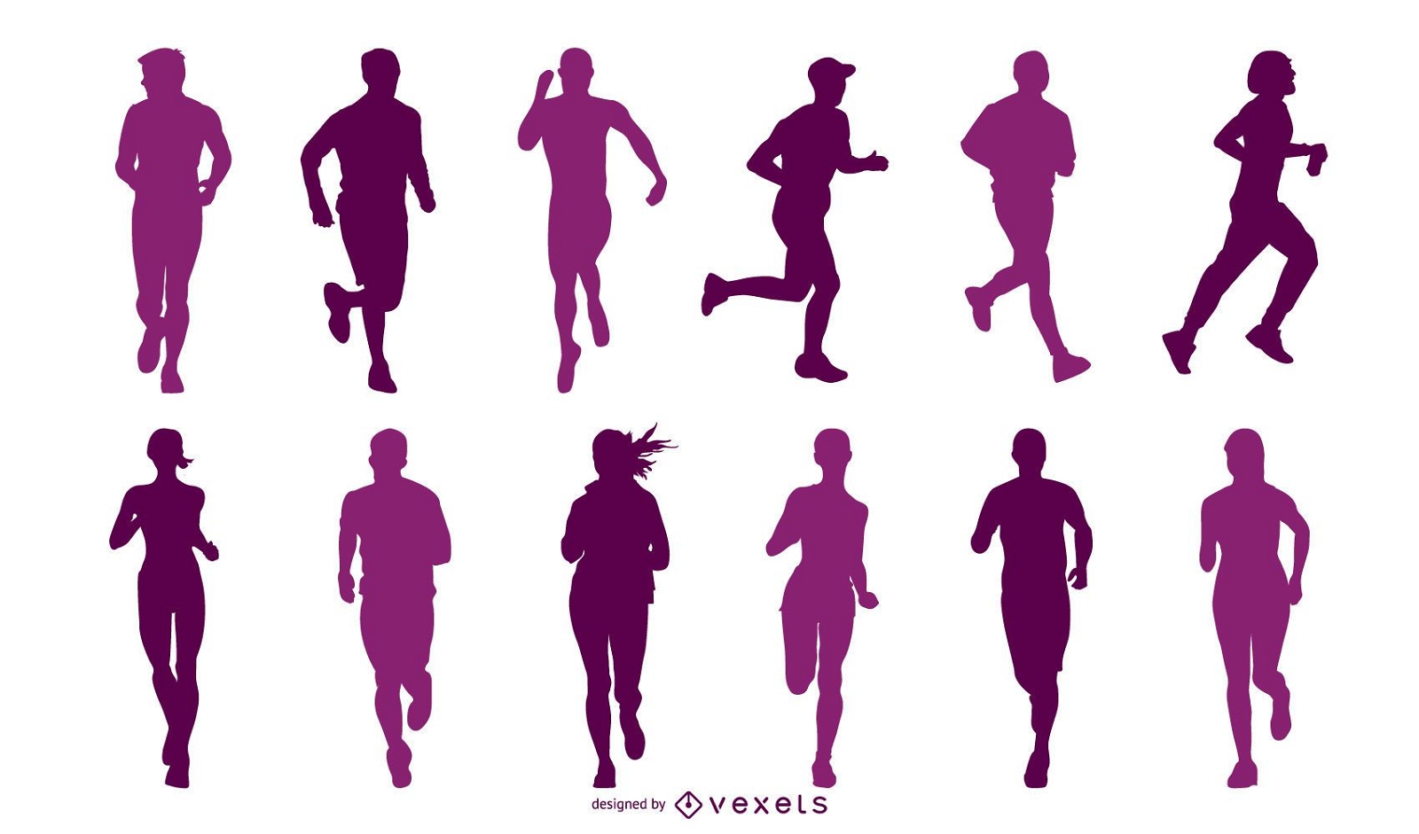
Man on the Run Action Vector
Choose a folder
All favorites
Create new
Save
Man on the Run Action Vector
Premium
The state of utah PNG Design
Choose a folder
All favorites
Create new
Save
The state of utah PNG Design
Premium
Exclamation sign PNG Design
Choose a folder
All favorites
Create new
Save
Exclamation sign PNG Design
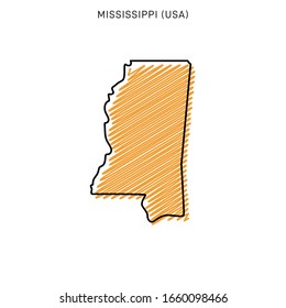
Tennessee color stroke states PNG Design
Choose a folder
All favorites
Create new
Save
Tennessee color stroke states PNG Design
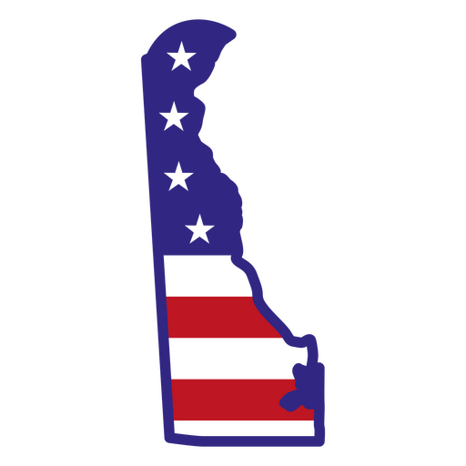
Delaware color stroke states PNG Design
Choose a folder
All favorites
Create new
Save
Delaware color stroke states PNG Design
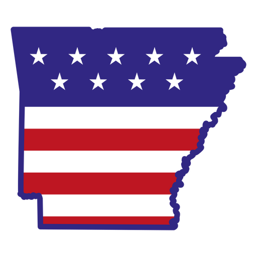
Arkansas color stroke states PNG Design
Choose a folder
All favorites
Create new
Save
Arkansas color stroke states PNG Design
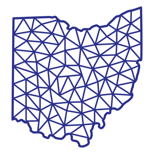
Ohio map polygonal PNG Design
Choose a folder
All favorites
Create new
Save
Ohio map polygonal PNG Design
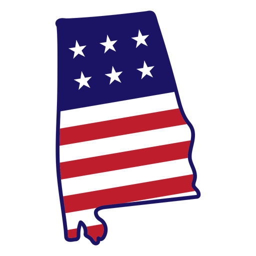
Alabama map color stroke PNG Design
Choose a folder
All favorites
Create new
Save
Alabama map color stroke PNG Design
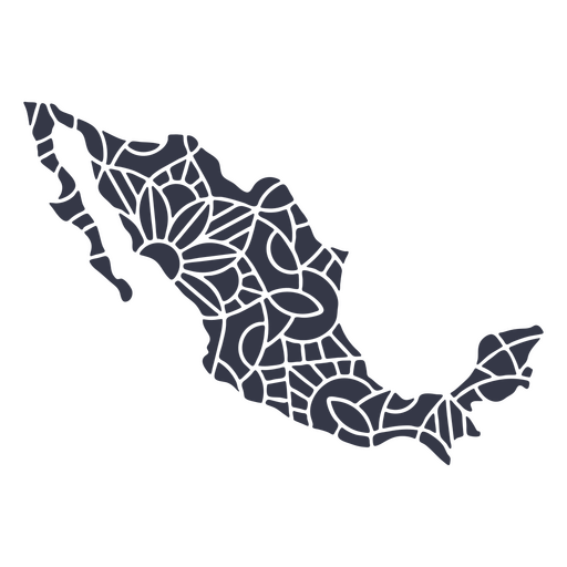
Mexico map silhouette mandala cut out PNG Design
Choose a folder
All favorites
Create new
Save
Mexico map silhouette mandala cut out PNG Design
Pink letter J mandala alphabet PNG Design
Choose a folder
All favorites
Create new
Save
Pink letter J mandala alphabet PNG Design
Pink letter S mandala stroke PNG Design
Choose a folder
All favorites
Create new
Save
Pink letter S mandala stroke PNG Design
Pink letter M mandala stroke PNG Design
Choose a folder
All favorites
Create new
Save
Pink letter M mandala stroke PNG Design
Embrace your neurodiversity color stroke PNG Design
Choose a folder
All favorites
Create new
Save
Embrace your neurodiversity color stroke PNG Design
Spell jar stroke PNG Design
Choose a folder
All favorites
Create new
Save
Spell jar stroke PNG Design
Magic keys textured PNG Design
Choose a folder
All favorites
Create new
Save
Magic keys textured PNG Design
Heart shaped key cut out PNG Design
Choose a folder
All favorites
Create new
Save
Heart shaped key cut out PNG Design
Space rockets pattern filled stroke PNG Design
Choose a folder
All favorites
Create new
Save
Space rockets pattern filled stroke PNG Design
Phillips screwdriver drill bit cut out PNG Design
Choose a folder
All favorites
Create new
Save
Phillips screwdriver drill bit cut out PNG Design
Garden hose filled stroke PNG Design
Choose a folder
All favorites
Create new
Save
Garden hose filled stroke PNG Design
Hand mixer color stroke PNG Design
Choose a folder
All favorites
Create new
Save
Hand mixer color stroke PNG Design
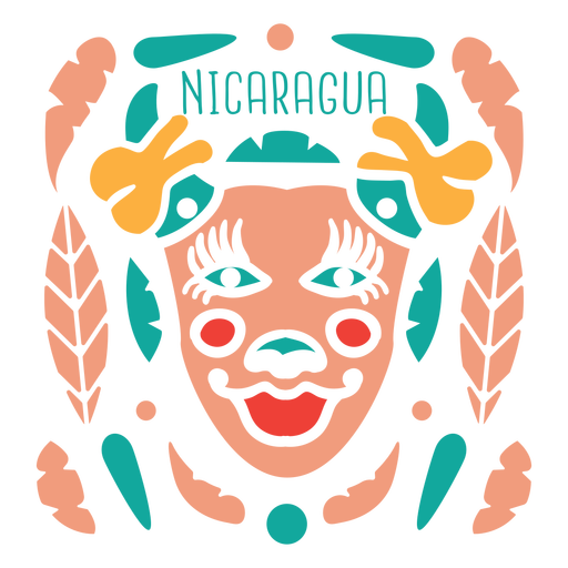
Carnival nicaragua mask PNG Design
Choose a folder
All favorites
Create new
Save
Carnival nicaragua mask PNG Design
Flag bearer marching silhouette PNG Design
Choose a folder
All favorites
Create new
Save
Flag bearer marching silhouette PNG Design
Premium
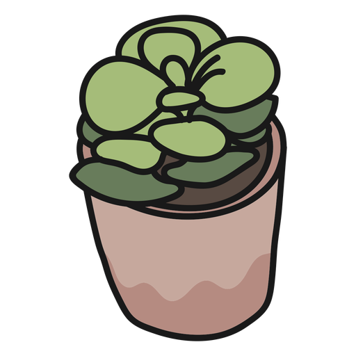
Plant succulent stroke illustration PNG Design
Choose a folder
All favorites
Create new
Save
Plant succulent stroke illustration PNG Design
Premium
Uae flag language icon circle PNG Design
Choose a folder
All favorites
Create new
Save
Uae flag language icon circle PNG Design
Premium
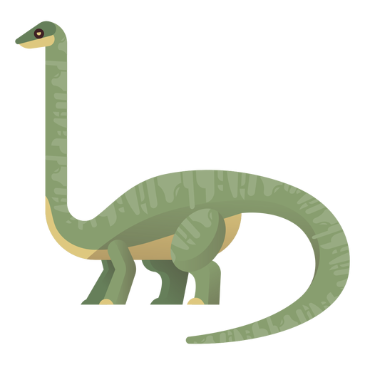
Long neck brachiosaurus vector PNG Design
Choose a folder
All favorites
Create new
Save
Long neck brachiosaurus vector PNG Design
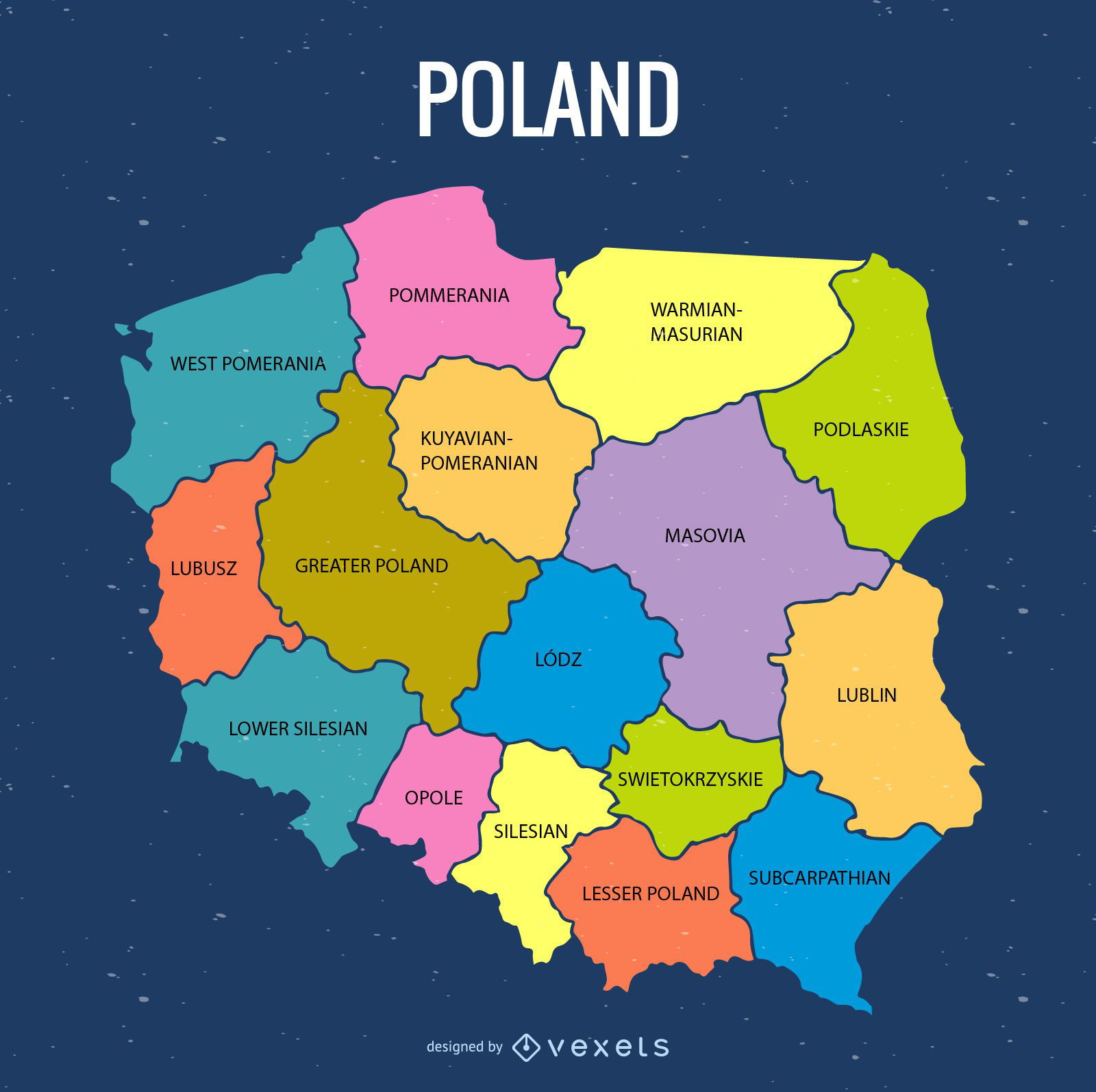
Colored Poland administrative map
Choose a folder
All favorites
Create new
Save
Colored Poland administrative map
Premium
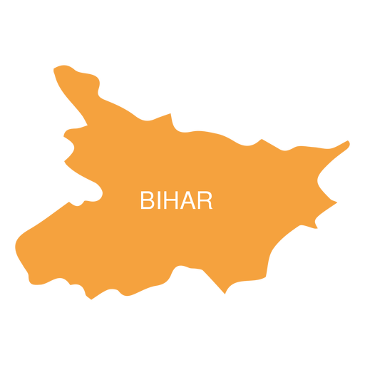
Bihar state map PNG Design
Choose a folder
All favorites
Create new
Save
Bihar state map PNG Design
Premium
Colorful stripes orbit icon PNG Design
Choose a folder
All favorites
Create new
Save
Colorful stripes orbit icon PNG Design
Premium
Parachute jump atmosphere PNG Design
Choose a folder
All favorites
Create new
Save
Parachute jump atmosphere PNG Design
Premium
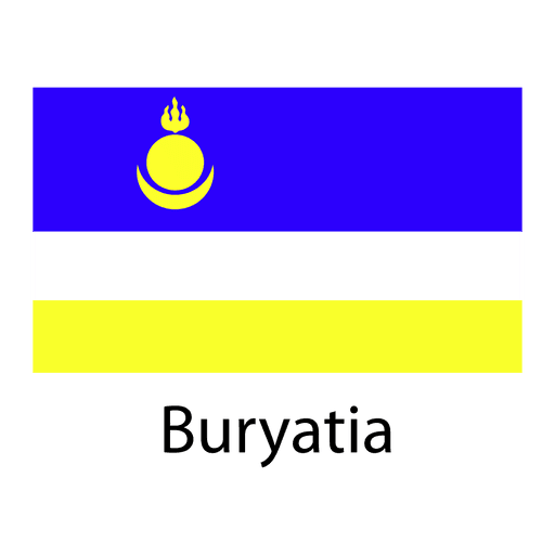
Buryatia national flag PNG Design
Choose a folder
All favorites
Create new
Save
Buryatia national flag PNG Design
Premium
Central african republic national flag PNG Design
Choose a folder
All favorites
Create new
Save
Central african republic national flag PNG Design
Premium
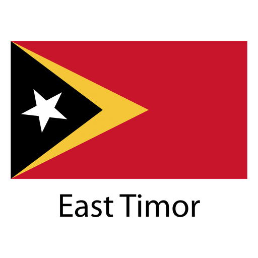
East timor national flag PNG Design
Choose a folder
All favorites
Create new
Save
East timor national flag PNG Design
Premium
Sealand principality of national flag PNG Design
Choose a folder
All favorites
Create new
Save
Sealand principality of national flag PNG Design
Premium
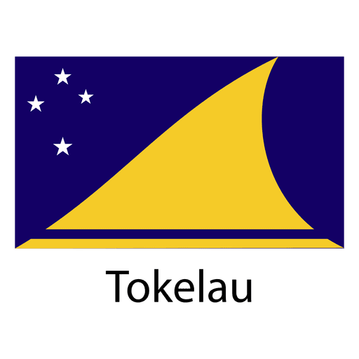
Tokelau national flag PNG Design
Choose a folder
All favorites
Create new
Save
Tokelau national flag PNG Design
Premium
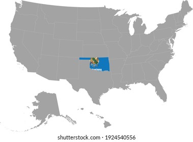
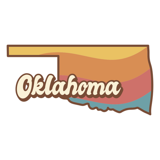
The state of oklahoma retro PNG Design
Choose a folder
All favorites
Create new
Save
The state of oklahoma retro PNG Design
Premium
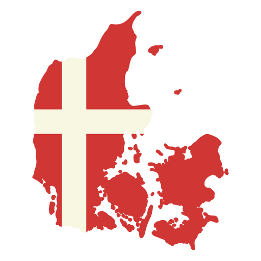
Map of denmark with the flag of denmark PNG Design
Choose a folder
All favorites
Create new
Save
Map of denmark with the flag of denmark PNG Design
Premium
Red star sparkle for christmas PNG Design
Choose a folder
All favorites
Create new
Save
Red star sparkle for christmas PNG Design
Premium
Skeleton holding a cup of coffee with the words coffee keeps me going PNG Design
Choose a folder
All favorites
Create new
Save
Skeleton holding a cup of coffee with the words coffee keeps me going PNG Design
Pink letter D mandala PNG Design
Choose a folder
All favorites
Create new
Save
Pink letter D mandala PNG Design
Pink letter P mandala stroke PNG Design
Choose a folder
All favorites
Create new
Save
Pink letter P mandala stroke PNG Design
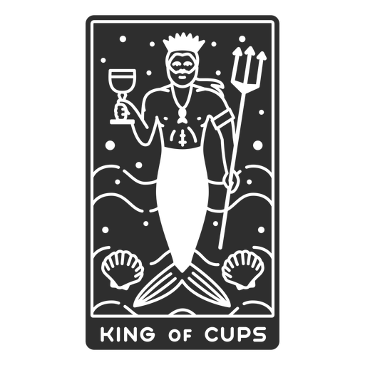
Tarot card king of cups cut out PNG Design
Choose a folder
All favorites
Create new
Save
Tarot card king of cups cut out PNG Design
Eating utensils flat PNG Design
Choose a folder
All favorites
Create new
Save
Eating utensils flat PNG Design
Boost Your Business
With The Leading Graphic Platform For Merch.
SEE PLANS
Next
of 106
prev page
next page