Design Library
New Merch Designs
T-Shirts
Vectors
Trending Merch Designs
PNGs & SVGs
Mockups
T-Shirt PSD Templates
Explore Designs
KDP Designs
Posters
Mugs
Phone Cases
Tote Bags
Pillows
Design Tools
Merch Designer
New!
Mockup Generator
AI Design Generator
Image Vectorizer
Quote Generator
T-Shirt Maker (Old)
Resources
Merch Digest
Blog
Help Center
Learn About Merch
Feedback
Corporate Solutions
Enterprise
API Access
Design Studio
Bulk Design Production
Pricing
Loading...
Sign Up
Login
All
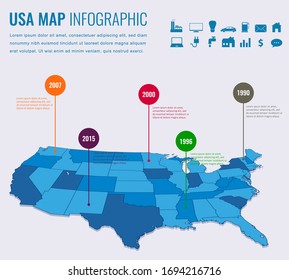
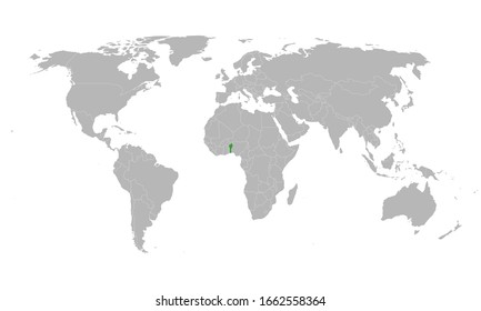
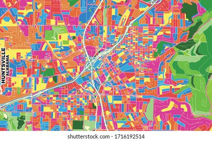
maps
Design Library
New Merch Designs
T-Shirts
Vectors
Trending Merch Designs
PNGs & SVGs
Mockups
T-Shirt PSD Templates
Explore Designs
KDP Designs
Posters
Mugs
Phone Cases
Tote Bags
Pillows
Design Tools
Merch Designer
New!
Mockup Generator
AI Design Generator
Image Vectorizer
Quote Generator
T-Shirt Maker (Old)
Resources
Merch Digest
Blog
Help Center
Learn About Merch
Feedback
Corporate Solutions
Enterprise
API Access
Design Studio
Bulk Design Production
PLANS
All
maps
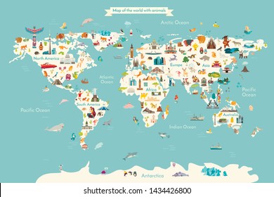
5263 maps Graphics and Designs
Maps Graphics to download
Related:
world maps
,
base maps
,
world livestock maps
Sort by
Most relevant
Sponsored results by
Get 15% off with code: VEXELS15
Show more
Costa rica oxcart flat PNG Design
Choose a folder
All favorites
Create new
Save
Costa rica oxcart flat PNG Design
Premium
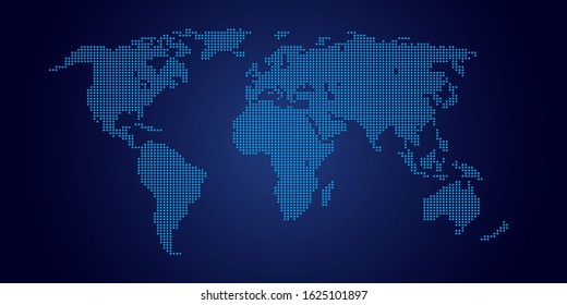
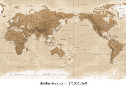
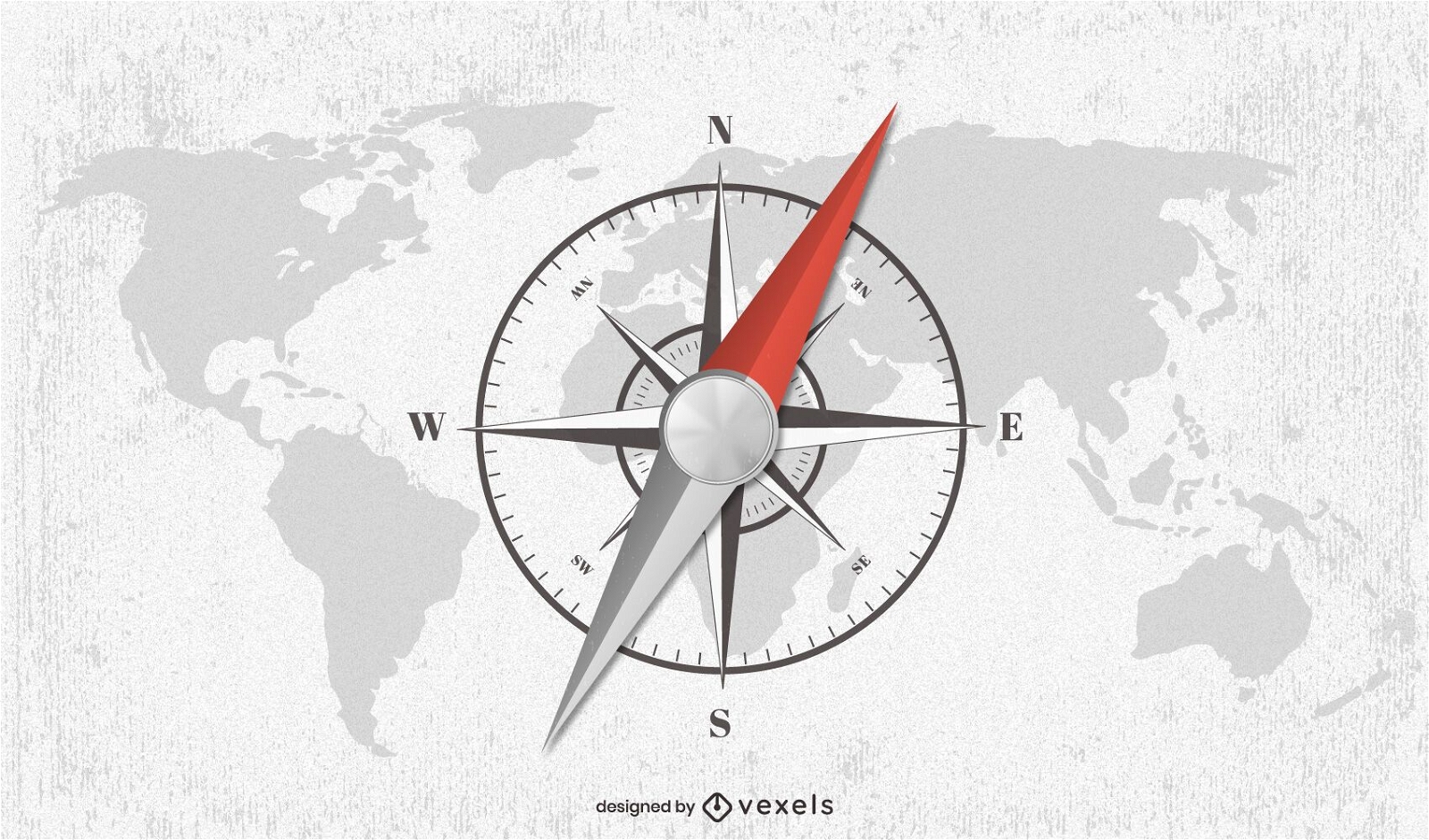
Compass world map illustration design
Choose a folder
All favorites
Create new
Save
Compass world map illustration design
La havana traditional car illustration PNG Design
Choose a folder
All favorites
Create new
Save
La havana traditional car illustration PNG Design
Premium
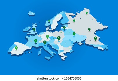
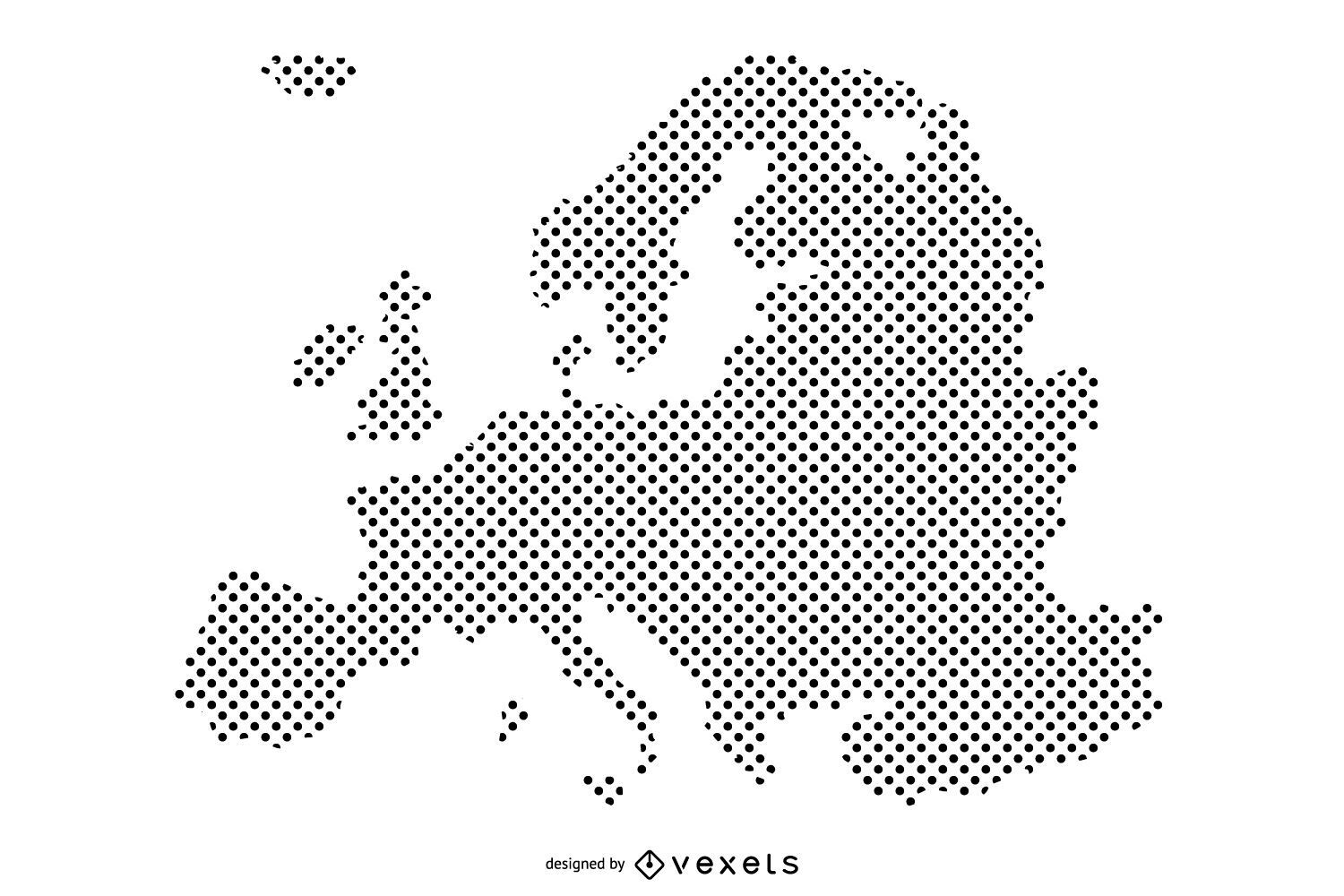
Dotted Europe Map Design
Choose a folder
All favorites
Create new
Save
Dotted Europe Map Design
Premium
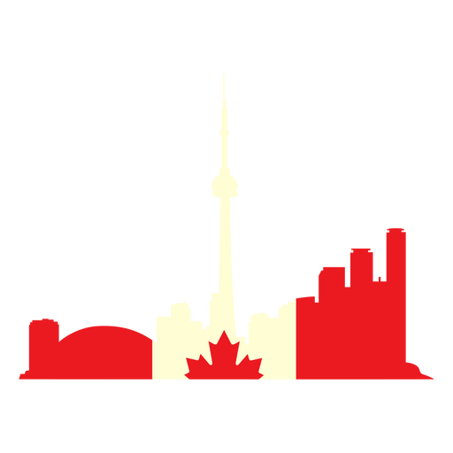
Toronto landscape on canada flag flat PNG Design
Choose a folder
All favorites
Create new
Save
Toronto landscape on canada flag flat PNG Design
Premium
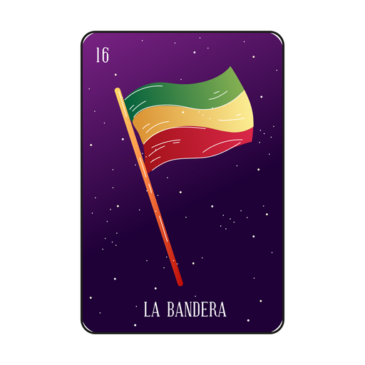
Mexican flag loteria card PNG Design
Choose a folder
All favorites
Create new
Save
Mexican flag loteria card PNG Design
Premium
Red bandana scarf icon PNG Design
Choose a folder
All favorites
Create new
Save
Red bandana scarf icon PNG Design
Premium
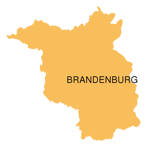
Brandenburg state map PNG Design
Choose a folder
All favorites
Create new
Save
Brandenburg state map PNG Design
Premium
Sikkim state map PNG Design
Choose a folder
All favorites
Create new
Save
Sikkim state map PNG Design
Premium
Lousiana state flag PNG Design
Choose a folder
All favorites
Create new
Save
Lousiana state flag PNG Design
Premium
Russia flag badge PNG Design
Choose a folder
All favorites
Create new
Save
Russia flag badge PNG Design
Premium
Get well soon sticker PNG Design
Choose a folder
All favorites
Create new
Save
Get well soon sticker PNG Design
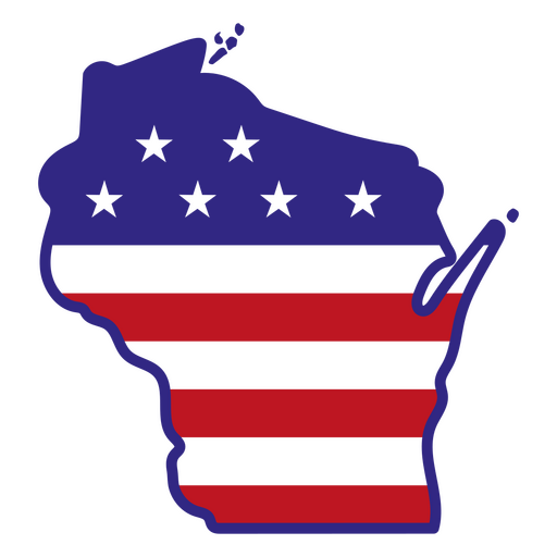
Wisconsin color stroke states PNG Design
Choose a folder
All favorites
Create new
Save
Wisconsin color stroke states PNG Design
New hampshire color stroke states PNG Design
Choose a folder
All favorites
Create new
Save
New hampshire color stroke states PNG Design
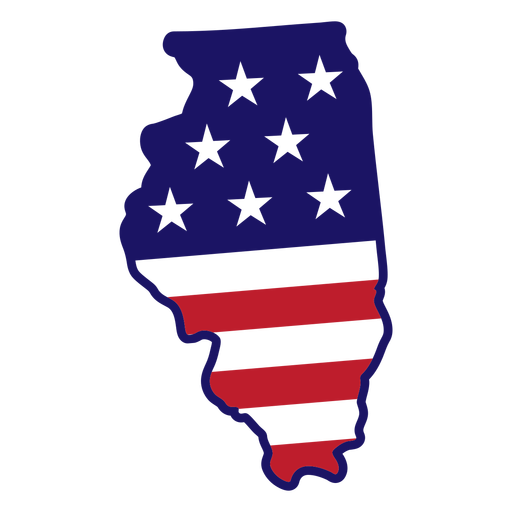
Illinois state color stroke PNG Design
Choose a folder
All favorites
Create new
Save
Illinois state color stroke PNG Design
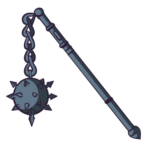
Medieval flail color stroke PNG Design
Choose a folder
All favorites
Create new
Save
Medieval flail color stroke PNG Design
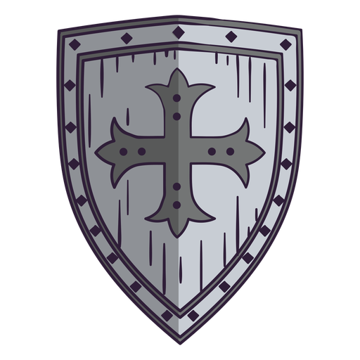
Medieval shield color stroke PNG Design
Choose a folder
All favorites
Create new
Save
Medieval shield color stroke PNG Design
French flag doodle PNG Design
Choose a folder
All favorites
Create new
Save
French flag doodle PNG Design
Premium
Continental drift illustration
Choose a folder
All favorites
Create new
Save
Continental drift illustration
Workout phrase everything hurts quote PNG Design
Choose a folder
All favorites
Create new
Save
Workout phrase everything hurts quote PNG Design
Premium
Japan flag language icon circle PNG Design
Choose a folder
All favorites
Create new
Save
Japan flag language icon circle PNG Design
Premium
Simple leaves on branch icon PNG Design
Choose a folder
All favorites
Create new
Save
Simple leaves on branch icon PNG Design
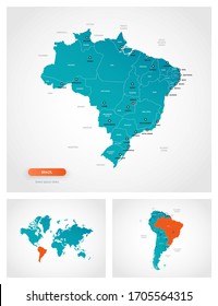
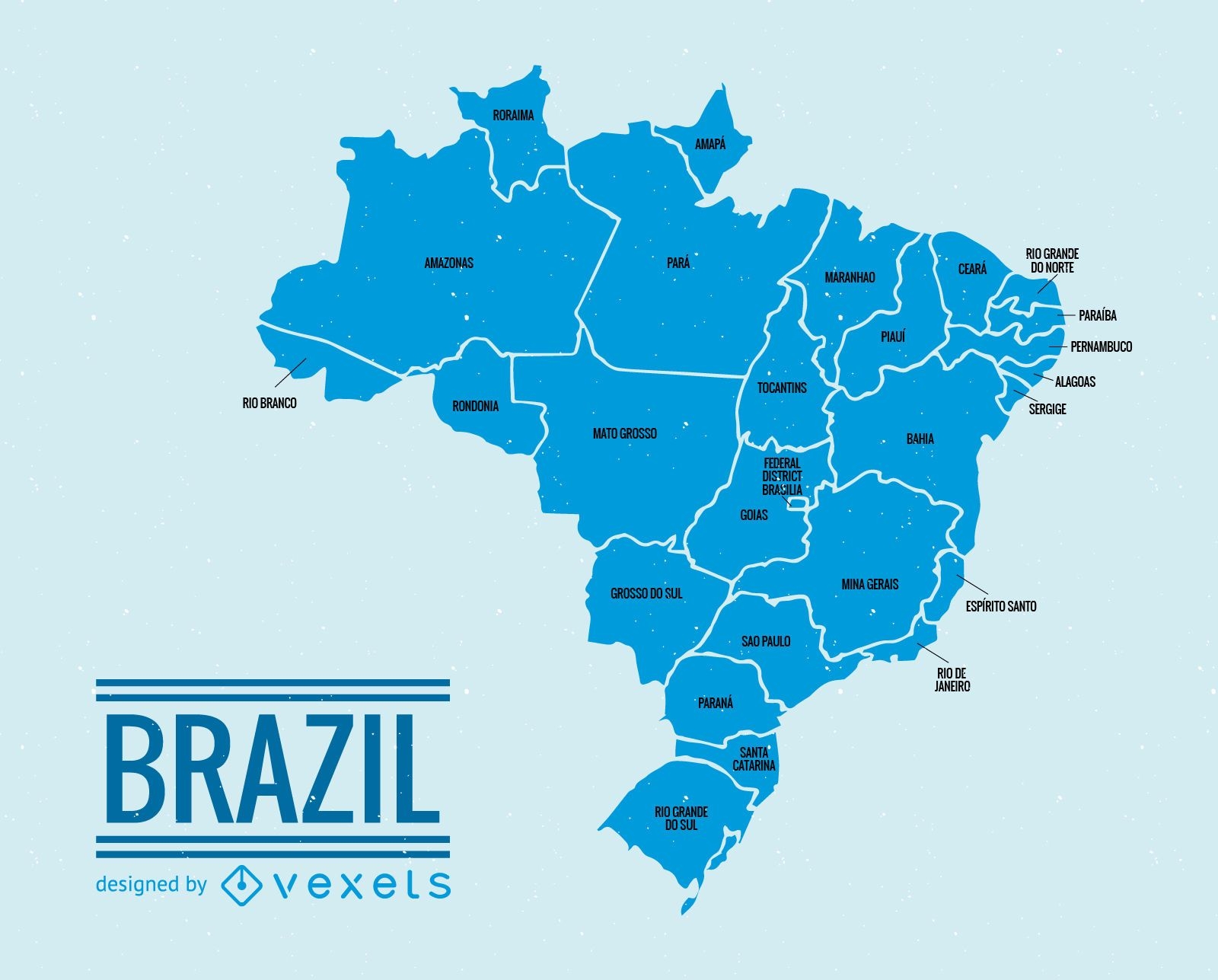
Brazil administrative division map
Choose a folder
All favorites
Create new
Save
Brazil administrative division map
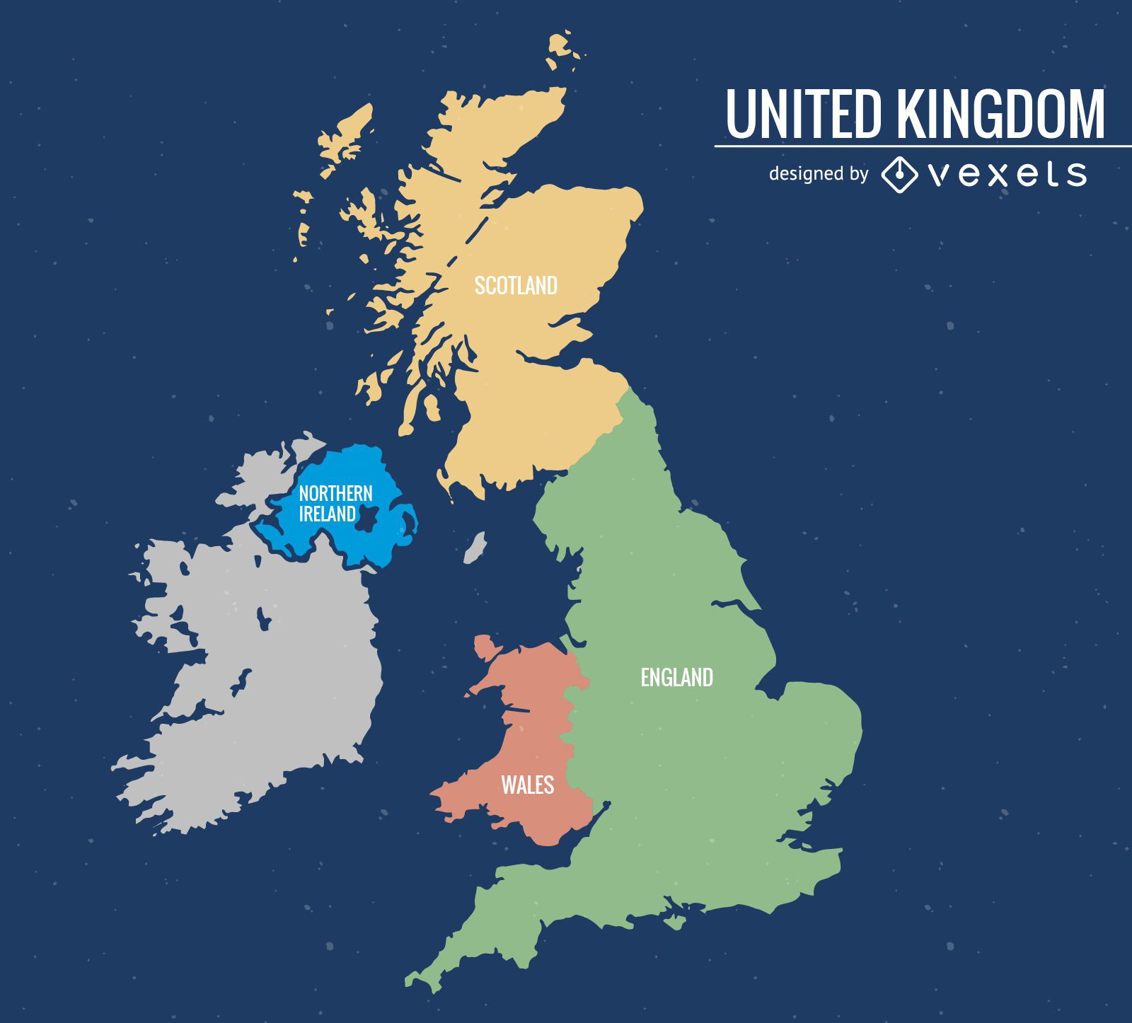
United Kingdom map
Choose a folder
All favorites
Create new
Save
United Kingdom map
Premium
World round icon PNG Design
Choose a folder
All favorites
Create new
Save
World round icon PNG Design
Premium
Global circle icon PNG Design
Choose a folder
All favorites
Create new
Save
Global circle icon PNG Design
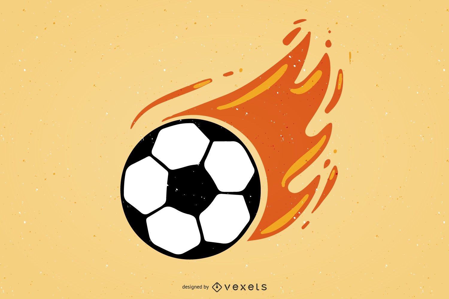
Burning Soccer
Choose a folder
All favorites
Create new
Save
Burning Soccer
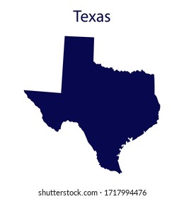
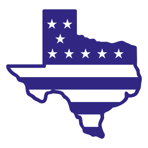
Texas duotone states PNG Design
Choose a folder
All favorites
Create new
Save
Texas duotone states PNG Design
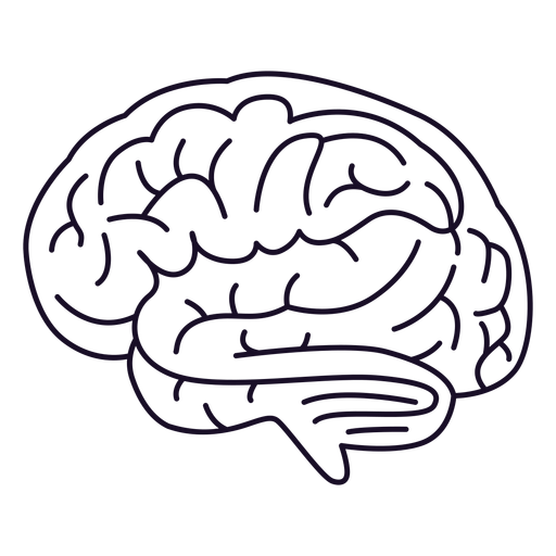
Brain outline stroke PNG Design
Choose a folder
All favorites
Create new
Save
Brain outline stroke PNG Design
Pink letter W mandala PNG Design
Choose a folder
All favorites
Create new
Save
Pink letter W mandala PNG Design
Brain dream color stroke PNG Design
Choose a folder
All favorites
Create new
Save
Brain dream color stroke PNG Design
Armor helmet with crossed swords filled stroke PNG Design
Choose a folder
All favorites
Create new
Save
Armor helmet with crossed swords filled stroke PNG Design
Snowman organic design semi flat PNG Design
Choose a folder
All favorites
Create new
Save
Snowman organic design semi flat PNG Design
Open shower flat PNG Design
Choose a folder
All favorites
Create new
Save
Open shower flat PNG Design
Papers with clip semi flat PNG Design
Choose a folder
All favorites
Create new
Save
Papers with clip semi flat PNG Design
Festival flores stroke PNG Design
Choose a folder
All favorites
Create new
Save
Festival flores stroke PNG Design
Uruguay sun art hand drawn PNG Design
Choose a folder
All favorites
Create new
Save
Uruguay sun art hand drawn PNG Design
Brown venus simple solar system planet PNG Design
Choose a folder
All favorites
Create new
Save
Brown venus simple solar system planet PNG Design
True north maple leaf flat PNG Design
Choose a folder
All favorites
Create new
Save
True north maple leaf flat PNG Design
Planet earth illustration earth PNG Design
Choose a folder
All favorites
Create new
Save
Planet earth illustration earth PNG Design
Uranus planet illustration PNG Design
Choose a folder
All favorites
Create new
Save
Uranus planet illustration PNG Design
Cute south korean man with hanbok character PNG Design
Choose a folder
All favorites
Create new
Save
Cute south korean man with hanbok character PNG Design
Premium
Planet earth happiness laugh smile flat PNG Design
Choose a folder
All favorites
Create new
Save
Planet earth happiness laugh smile flat PNG Design
Premium
Balloon pair heart illustration PNG Design
Choose a folder
All favorites
Create new
Save
Balloon pair heart illustration PNG Design
Premium
Earth globe illustration PNG Design
Choose a folder
All favorites
Create new
Save
Earth globe illustration PNG Design
Premium
Earth hand drawn icon PNG Design
Choose a folder
All favorites
Create new
Save
Earth hand drawn icon PNG Design
Premium
Earth recycle icon PNG Design
Choose a folder
All favorites
Create new
Save
Earth recycle icon PNG Design
Premium
Green earth hand drawn icon PNG Design
Choose a folder
All favorites
Create new
Save
Green earth hand drawn icon PNG Design
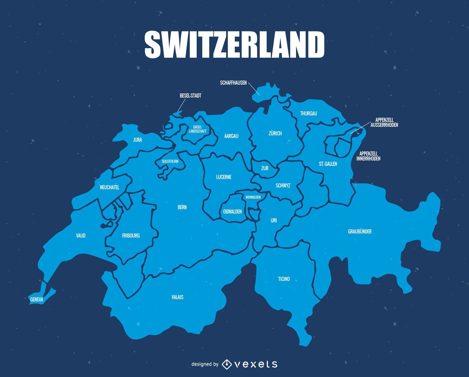
Switzerland administrative division map
Choose a folder
All favorites
Create new
Save
Switzerland administrative division map
Premium
Tasmania state map PNG Design
Choose a folder
All favorites
Create new
Save
Tasmania state map PNG Design
Boost Your Business
With The Leading Graphic Platform For Merch.
SEE PLANS
Next
of 106
prev page
next page