Design Library
New Merch Designs
T-Shirts
Vectors
Trending Merch Designs
PNGs & SVGs
Mockups
T-Shirt PSD Templates
Explore Designs
KDP Designs
Posters
Mugs
Phone Cases
Tote Bags
Pillows
Design Tools
Merch Designer
New!
Mockup Generator
AI Design Generator
Image Vectorizer
Quote Generator
T-Shirt Maker (Old)
Resources
Merch Digest
Blog
Help Center
Learn About Merch
Feedback
Corporate Solutions
Enterprise
API Access
Design Studio
Bulk Design Production
Pricing
Loading...
Sign Up
Login
All
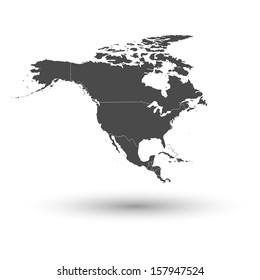
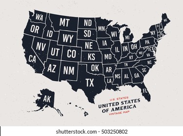
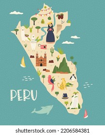
maps
Design Library
New Merch Designs
T-Shirts
Vectors
Trending Merch Designs
PNGs & SVGs
Mockups
T-Shirt PSD Templates
Explore Designs
KDP Designs
Posters
Mugs
Phone Cases
Tote Bags
Pillows
Design Tools
Merch Designer
New!
Mockup Generator
AI Design Generator
Image Vectorizer
Quote Generator
T-Shirt Maker (Old)
Resources
Merch Digest
Blog
Help Center
Learn About Merch
Feedback
Corporate Solutions
Enterprise
API Access
Design Studio
Bulk Design Production
PLANS
All
maps
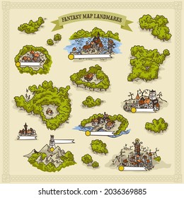
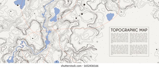
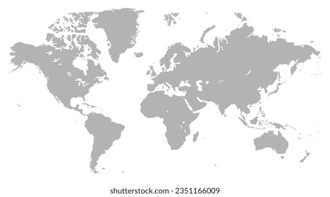
5263 maps Graphics and Designs
Maps Graphics to download
Related:
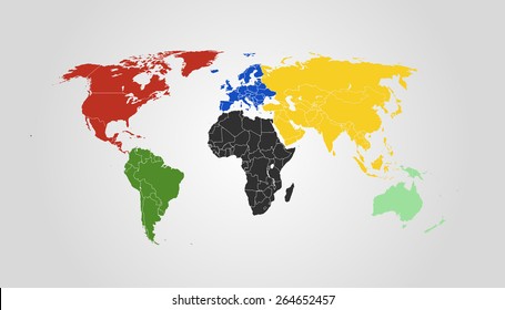
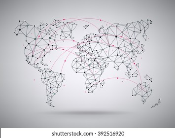
world maps
,
base maps
,
world livestock maps
Sort by
Most relevant
Sponsored results by
Get 15% off with code: VEXELS15
Show more
Zodiac badge planet libra stroke PNG Design
Choose a folder
All favorites
Create new
Save
Zodiac badge planet libra stroke PNG Design
Australia blue heart PNG Design
Choose a folder
All favorites
Create new
Save
Australia blue heart PNG Design
Premium
Classic cupcake illustration PNG Design
Choose a folder
All favorites
Create new
Save
Classic cupcake illustration PNG Design
Premium
Digestive system Food digestion human body PNG Design
Choose a folder
All favorites
Create new
Save
Digestive system Food digestion human body PNG Design
Premium
Colombia flag badge PNG Design
Choose a folder
All favorites
Create new
Save
Colombia flag badge PNG Design
Premium
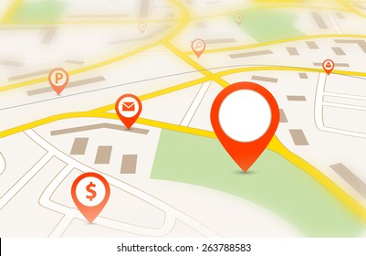
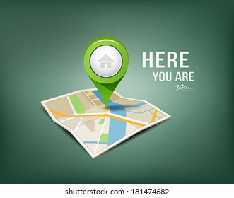
Location map icon PNG Design
Choose a folder
All favorites
Create new
Save
Location map icon PNG Design
Premium
Mordovia national flag PNG Design
Choose a folder
All favorites
Create new
Save
Mordovia national flag PNG Design
Blue Tech Fluorescent Financial Chart Background
Choose a folder
All favorites
Create new
Save
Blue Tech Fluorescent Financial Chart Background
Premium
New york state map with a sunset in the background PNG Design
Choose a folder
All favorites
Create new
Save
New york state map with a sunset in the background PNG Design
Merica cut out badge PNG Design
Choose a folder
All favorites
Create new
Save
Merica cut out badge PNG Design
$25 money label cut out PNG Design
Choose a folder
All favorites
Create new
Save
$25 money label cut out PNG Design
Honduras horchata stroke PNG Design
Choose a folder
All favorites
Create new
Save
Honduras horchata stroke PNG Design
Scarlet macaw honduras element PNG Design
Choose a folder
All favorites
Create new
Save
Scarlet macaw honduras element PNG Design
Christmas wreath bow design illustration PNG Design
Choose a folder
All favorites
Create new
Save
Christmas wreath bow design illustration PNG Design
Premium
Brushstroke canada flag flat PNG Design
Choose a folder
All favorites
Create new
Save
Brushstroke canada flag flat PNG Design
Zodiac badge planet scorpio stroke PNG Design
Choose a folder
All favorites
Create new
Save
Zodiac badge planet scorpio stroke PNG Design
Location icon isometric PNG Design
Choose a folder
All favorites
Create new
Save
Location icon isometric PNG Design
Premium
Oregon state flag PNG Design
Choose a folder
All favorites
Create new
Save
Oregon state flag PNG Design
Premium
Pirate halloween costume cartoon PNG Design
Choose a folder
All favorites
Create new
Save
Pirate halloween costume cartoon PNG Design
Premium
Adygea national flag PNG Design
Choose a folder
All favorites
Create new
Save
Adygea national flag PNG Design
Pennsylvania color stroke states PNG Design
Choose a folder
All favorites
Create new
Save
Pennsylvania color stroke states PNG Design
New Mexico usa map silhouette PNG Design
Choose a folder
All favorites
Create new
Save
New Mexico usa map silhouette PNG Design
Tarot card the magician cut out PNG Design
Choose a folder
All favorites
Create new
Save
Tarot card the magician cut out PNG Design
Premium
Woman volleyball player silhouette PNG Design
Choose a folder
All favorites
Create new
Save
Woman volleyball player silhouette PNG Design
Premium
New hampshire state flag PNG Design
Choose a folder
All favorites
Create new
Save
New hampshire state flag PNG Design
Premium
Blue stripes orbit icon PNG Design
Choose a folder
All favorites
Create new
Save
Blue stripes orbit icon PNG Design
Premium
Iran flag badge PNG Design
Choose a folder
All favorites
Create new
Save
Iran flag badge PNG Design
Premium
Germany flag badge PNG Design
Choose a folder
All favorites
Create new
Save
Germany flag badge PNG Design
Delivery process infographic
Choose a folder
All favorites
Create new
Save
Delivery process infographic
Japanese Buildings
Choose a folder
All favorites
Create new
Save
Japanese Buildings
Premium
Washington state map with the word washington on it PNG Design
Choose a folder
All favorites
Create new
Save
Washington state map with the word washington on it PNG Design
Tileable pattern
Premium
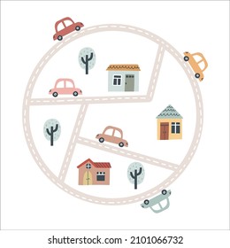
Colorful childrens city carpet pattern design
Choose a folder
All favorites
Create new
Save
Colorful childrens city carpet pattern design
Pink number one mandala PNG Design
Choose a folder
All favorites
Create new
Save
Pink number one mandala PNG Design
Square ruler tool stroke PNG Design
Choose a folder
All favorites
Create new
Save
Square ruler tool stroke PNG Design
Carnival cart flat PNG Design
Choose a folder
All favorites
Create new
Save
Carnival cart flat PNG Design
Comayagua cathedral illustration PNG Design
Choose a folder
All favorites
Create new
Save
Comayagua cathedral illustration PNG Design
Earth globe colorful icon stroke PNG Design
Choose a folder
All favorites
Create new
Save
Earth globe colorful icon stroke PNG Design
Premium
Haryana state map PNG Design
Choose a folder
All favorites
Create new
Save
Haryana state map PNG Design
Premium
Rubble rock illustration PNG Design
Choose a folder
All favorites
Create new
Save
Rubble rock illustration PNG Design
Premium
Balloons hot air flight PNG Design
Choose a folder
All favorites
Create new
Save
Balloons hot air flight PNG Design
Premium
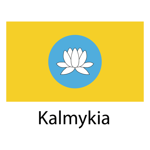
Kalmykia national flag PNG Design
Choose a folder
All favorites
Create new
Save
Kalmykia national flag PNG Design
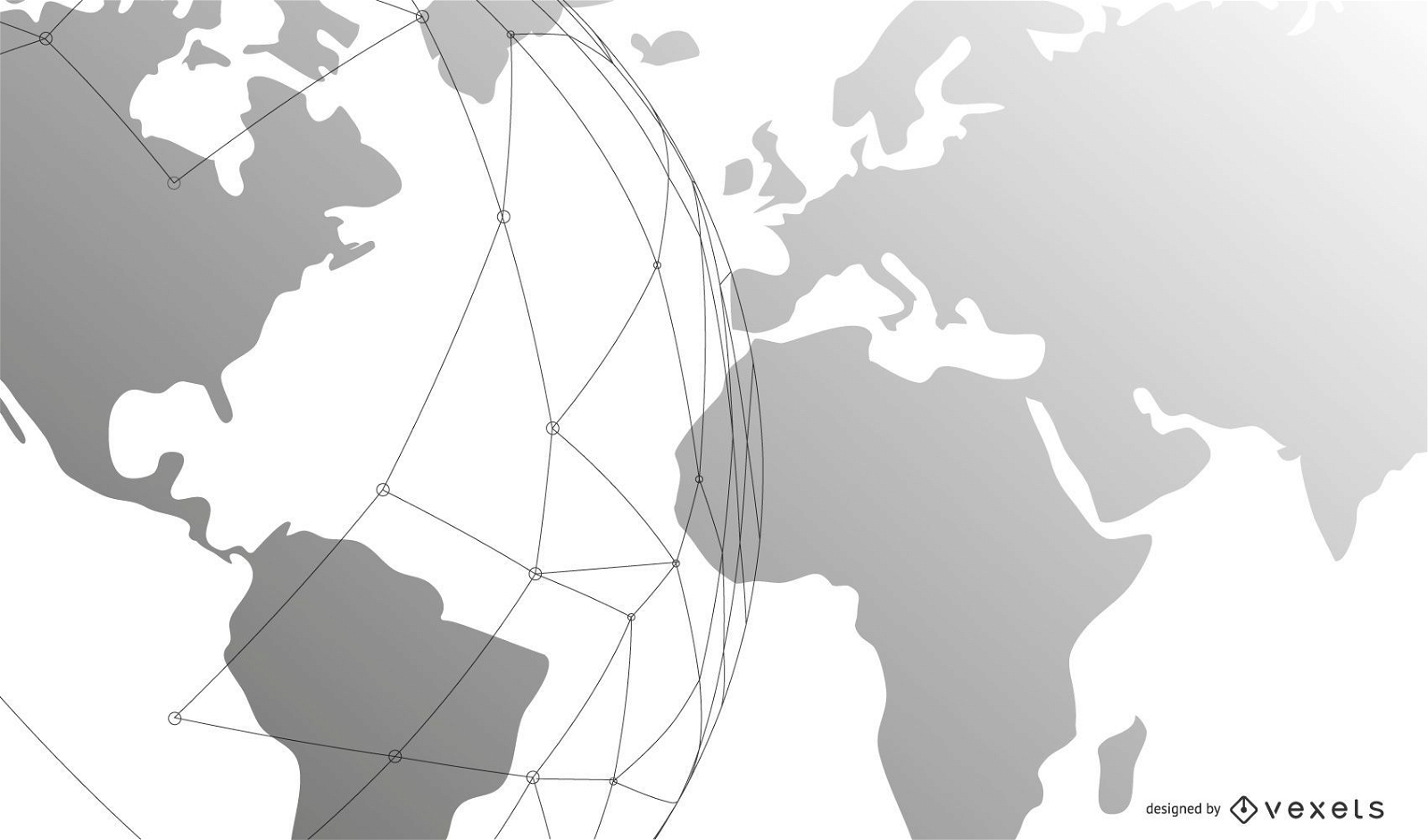
Template Business Background with Globe and Lines
Choose a folder
All favorites
Create new
Save
Template Business Background with Globe and Lines
Premium
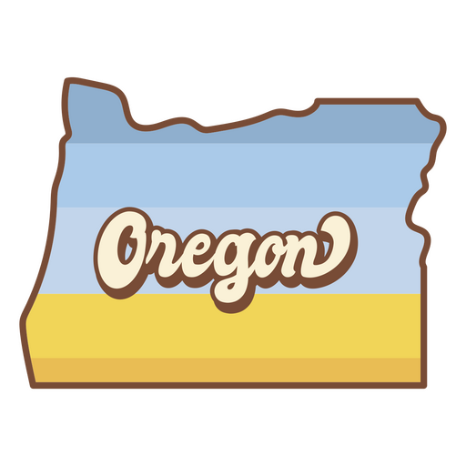
The state of oregon is shown PNG Design
Choose a folder
All favorites
Create new
Save
The state of oregon is shown PNG Design
Happy mind stroke PNG Design
Choose a folder
All favorites
Create new
Save
Happy mind stroke PNG Design
Embrace your neurodiversity badge PNG Design
Choose a folder
All favorites
Create new
Save
Embrace your neurodiversity badge PNG Design
Garden shovel silhouette PNG Design
Choose a folder
All favorites
Create new
Save
Garden shovel silhouette PNG Design
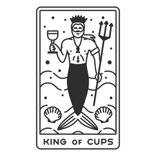
Tarot card king of cups filled stroke PNG Design
Choose a folder
All favorites
Create new
Save
Tarot card king of cups filled stroke PNG Design
Magic potion round bottle PNG Design
Choose a folder
All favorites
Create new
Save
Magic potion round bottle PNG Design
Print ready
Premium
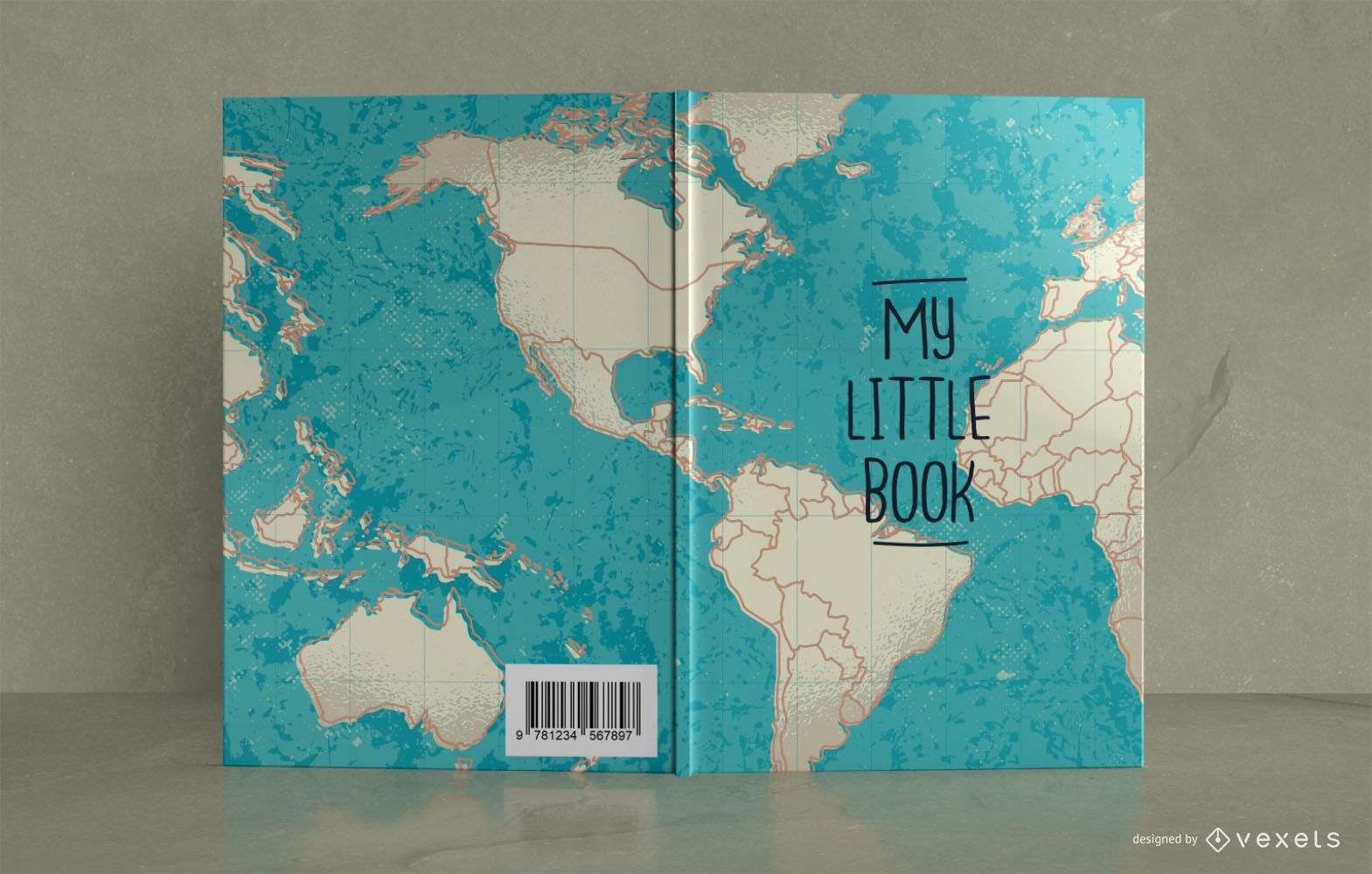
Map Travel Journal Book Cover Design
Choose a folder
All favorites
Create new
Save
Map Travel Journal Book Cover Design
Cartoon hand palm PNG Design
Choose a folder
All favorites
Create new
Save
Cartoon hand palm PNG Design
Boost Your Business
With The Leading Graphic Platform For Merch.
SEE PLANS
Next
of 106
prev page
next page