Design Library
New Merch Designs
T-Shirts
Vectors
Trending Merch Designs
PNGs & SVGs
Mockups
T-Shirt PSD Templates
Explore Designs
KDP Designs
Posters
Mugs
Phone Cases
Tote Bags
Pillows
Design Tools
Merch Designer
New!
Mockup Generator
AI Design Generator
Image Vectorizer
Quote Generator
T-Shirt Maker (Old)
Resources
Merch Digest
Blog
Help Center
Learn About Merch
Feedback
Corporate Solutions
Enterprise
API Access
Design Studio
Bulk Design Production
Pricing
Loading...
Sign Up
Login
All
maps
Design Library
New Merch Designs
T-Shirts
Vectors
Trending Merch Designs
PNGs & SVGs
Mockups
T-Shirt PSD Templates
Explore Designs
KDP Designs
Posters
Mugs
Phone Cases
Tote Bags
Pillows
Design Tools
Merch Designer
New!
Mockup Generator
AI Design Generator
Image Vectorizer
Quote Generator
T-Shirt Maker (Old)
Resources
Merch Digest
Blog
Help Center
Learn About Merch
Feedback
Corporate Solutions
Enterprise
API Access
Design Studio
Bulk Design Production
PLANS
All
maps
5263 maps Graphics and Designs
Maps Graphics to download
Related:
world maps
,
base maps
,
world livestock maps
Sort by
Most relevant
Sponsored results by
Get 15% off with code: VEXELS15
Show more
Premium
Palau national flag PNG Design
Choose a folder
All favorites
Create new
Save
Palau national flag PNG Design
Premium
Sark national flag PNG Design
Choose a folder
All favorites
Create new
Save
Sark national flag PNG Design
Group Studying Kids with Globe in Open Book
Choose a folder
All favorites
Create new
Save
Group Studying Kids with Globe in Open Book
New jersey color stroke states PNG Design
Choose a folder
All favorites
Create new
Save
New jersey color stroke states PNG Design
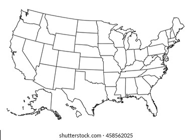
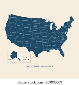
Alaska usa map stroke PNG Design
Choose a folder
All favorites
Create new
Save
Alaska usa map stroke PNG Design
Mental health therapy badge PNG Design
Choose a folder
All favorites
Create new
Save
Mental health therapy badge PNG Design
Pink letter U mandala design PNG Design
Choose a folder
All favorites
Create new
Save
Pink letter U mandala design PNG Design
Dremel tool cut out PNG Design
Choose a folder
All favorites
Create new
Save
Dremel tool cut out PNG Design
Copan ruins honduras illustration PNG Design
Choose a folder
All favorites
Create new
Save
Copan ruins honduras illustration PNG Design
Mangu breakfast dominican doodle PNG Design
Choose a folder
All favorites
Create new
Save
Mangu breakfast dominican doodle PNG Design
Girl witch hat halloween stroke PNG Design
Choose a folder
All favorites
Create new
Save
Girl witch hat halloween stroke PNG Design
Earth globe illustration globe PNG Design
Choose a folder
All favorites
Create new
Save
Earth globe illustration globe PNG Design
Premium
South africa heart flag PNG Design
Choose a folder
All favorites
Create new
Save
South africa heart flag PNG Design
Premium
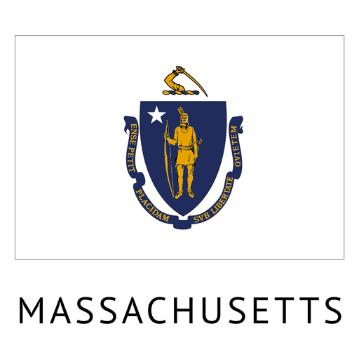
Massachusetts state flag PNG Design
Choose a folder
All favorites
Create new
Save
Massachusetts state flag PNG Design
Premium
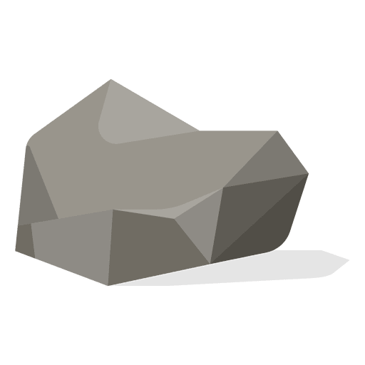
Gravel stone PNG Design
Choose a folder
All favorites
Create new
Save
Gravel stone PNG Design
Premium
Dunk tomahawk Jump PNG Design
Choose a folder
All favorites
Create new
Save
Dunk tomahawk Jump PNG Design
Premium
Globe round icon 1 PNG Design
Choose a folder
All favorites
Create new
Save
Globe round icon 1 PNG Design
Premium
Trinidad and tobago national flag PNG Design
Choose a folder
All favorites
Create new
Save
Trinidad and tobago national flag PNG Design
Premium
Location pointer circle icon PNG Design
Choose a folder
All favorites
Create new
Save
Location pointer circle icon PNG Design
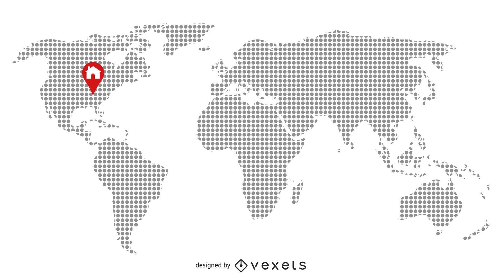
Pixilated Map with Home Location
Choose a folder
All favorites
Create new
Save
Pixilated Map with Home Location
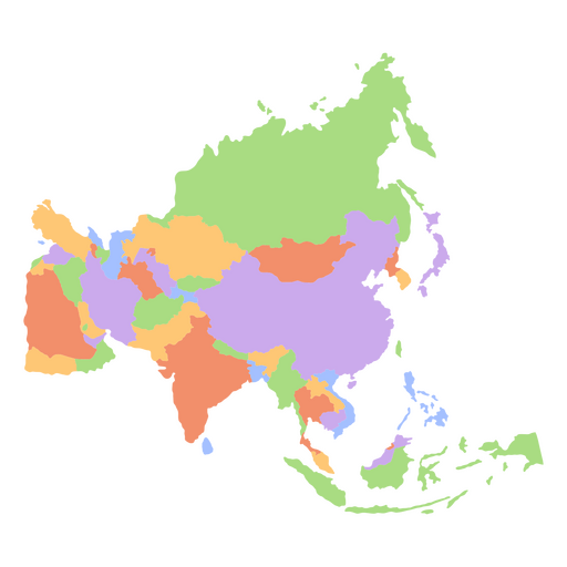
Asia flat continents map PNG Design
Choose a folder
All favorites
Create new
Save
Asia flat continents map PNG Design
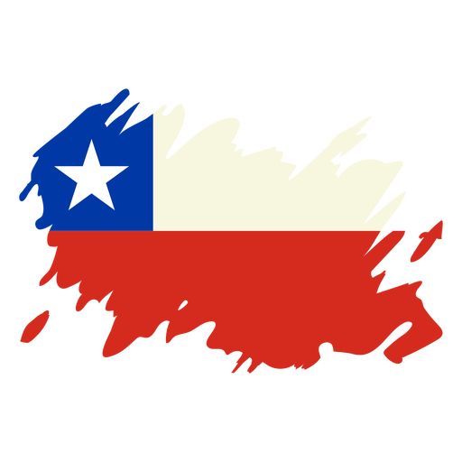
Chile brushy flag design PNG Design
Choose a folder
All favorites
Create new
Save
Chile brushy flag design PNG Design
Premium
Guitar country music hand drawn symbol black PNG Design
Choose a folder
All favorites
Create new
Save
Guitar country music hand drawn symbol black PNG Design
Premium
Earth doodle icon PNG Design
Choose a folder
All favorites
Create new
Save
Earth doodle icon PNG Design
Premium
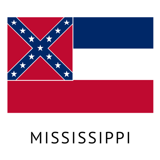
Mississippi state flag PNG Design
Choose a folder
All favorites
Create new
Save
Mississippi state flag PNG Design
Premium
Globe hands icon PNG Design
Choose a folder
All favorites
Create new
Save
Globe hands icon PNG Design
Premium
Coild ribbon red Teeth PNG Design
Choose a folder
All favorites
Create new
Save
Coild ribbon red Teeth PNG Design
Premium
World round icon 1 PNG Design
Choose a folder
All favorites
Create new
Save
World round icon 1 PNG Design
Premium
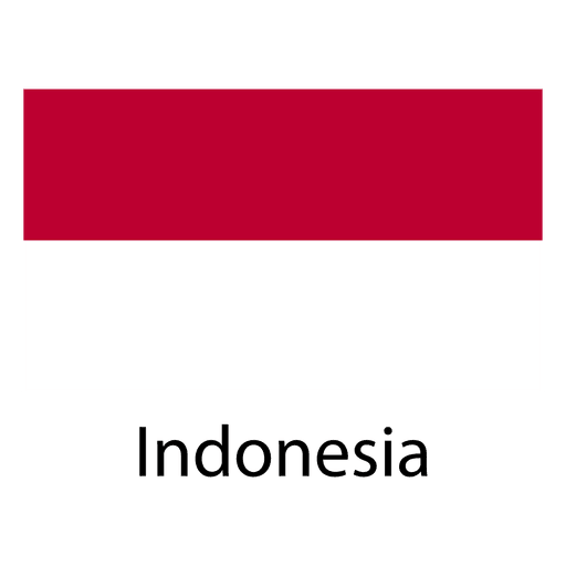
Indonesia national flag PNG Design
Choose a folder
All favorites
Create new
Save
Indonesia national flag PNG Design
Premium
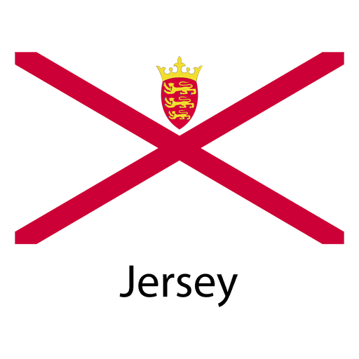
Jersey national flag PNG Design
Choose a folder
All favorites
Create new
Save
Jersey national flag PNG Design
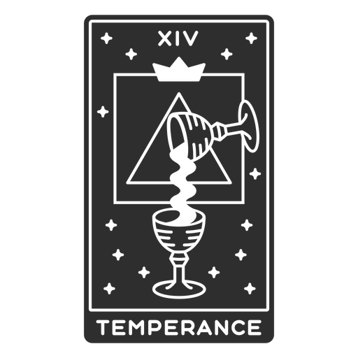
Tarot card temperance cut out PNG Design
Choose a folder
All favorites
Create new
Save
Tarot card temperance cut out PNG Design
Circular rope knot color cut out PNG Design
Choose a folder
All favorites
Create new
Save
Circular rope knot color cut out PNG Design
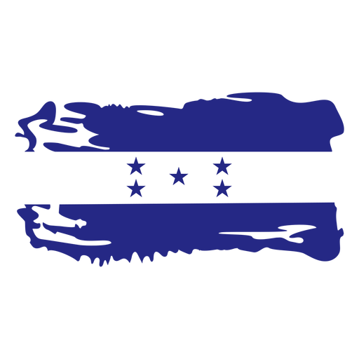
Honduras brushy flag design PNG Design
Choose a folder
All favorites
Create new
Save
Honduras brushy flag design PNG Design
Shinning maple leaf flat PNG Design
Choose a folder
All favorites
Create new
Save
Shinning maple leaf flat PNG Design
Premium
Planet earth sadness melancholy flat PNG Design
Choose a folder
All favorites
Create new
Save
Planet earth sadness melancholy flat PNG Design
Premium
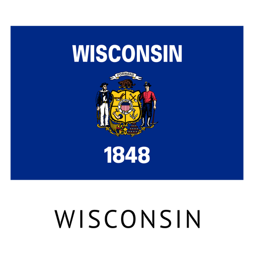
Wisconsin state flag PNG Design
Choose a folder
All favorites
Create new
Save
Wisconsin state flag PNG Design
Premium
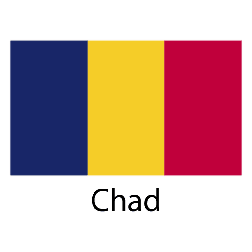
Chad national flag PNG Design
Choose a folder
All favorites
Create new
Save
Chad national flag PNG Design
Premium
Monaco national flag PNG Design
Choose a folder
All favorites
Create new
Save
Monaco national flag PNG Design
Premium
World map with continent pointer PNG Design
Choose a folder
All favorites
Create new
Save
World map with continent pointer PNG Design
Laundry Soap Logo
Choose a folder
All favorites
Create new
Save
Laundry Soap Logo
Colorado usa map silhouette PNG Design
Choose a folder
All favorites
Create new
Save
Colorado usa map silhouette PNG Design
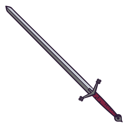
Red sword color stroke PNG Design
Choose a folder
All favorites
Create new
Save
Red sword color stroke PNG Design
Test tube semi flat PNG Design
Choose a folder
All favorites
Create new
Save
Test tube semi flat PNG Design
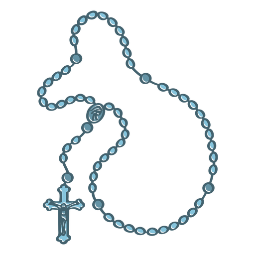
Rosary color stroke PNG Design
Choose a folder
All favorites
Create new
Save
Rosary color stroke PNG Design
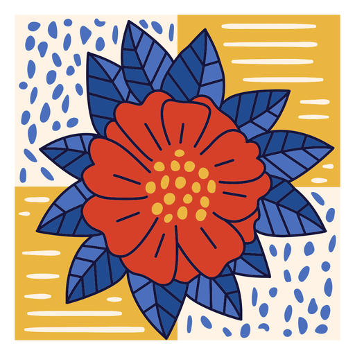
Bayahibe rose dominican doodle PNG Design
Choose a folder
All favorites
Create new
Save
Bayahibe rose dominican doodle PNG Design
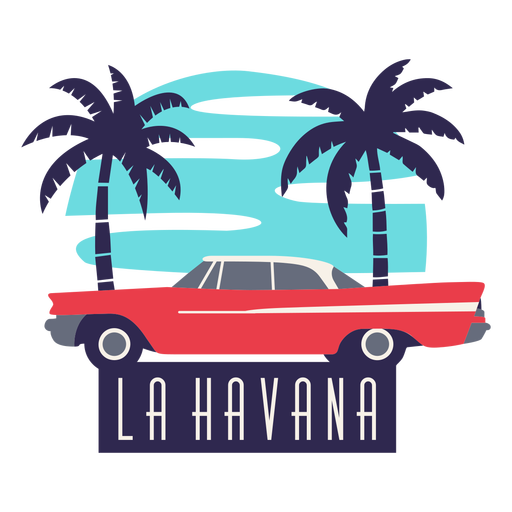
La havana traditional car flat design PNG Design
Choose a folder
All favorites
Create new
Save
La havana traditional car flat design PNG Design
Uruguay bandoneon stroke PNG Design
Choose a folder
All favorites
Create new
Save
Uruguay bandoneon stroke PNG Design
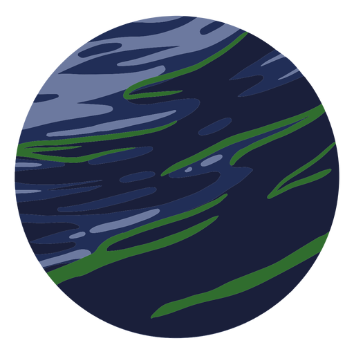
Planet neptune illustration PNG Design
Choose a folder
All favorites
Create new
Save
Planet neptune illustration PNG Design
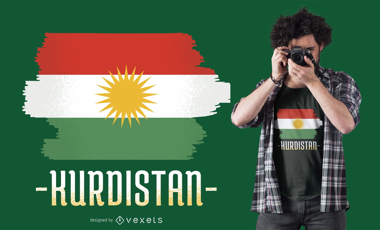
Print ready
for Merch
Kurdistan Flag T-shirt Design
Choose a folder
All favorites
Create new
Save
Kurdistan Flag T-shirt Design
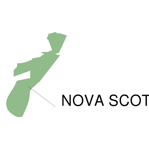
Premium
Nova scotia province map PNG Design
Choose a folder
All favorites
Create new
Save
Nova scotia province map PNG Design
Boost Your Business
With The Leading Graphic Platform For Merch.
SEE PLANS
Next
of 106
prev page
next page