Design Library
New Merch Designs
T-Shirts
Vectors
Trending Merch Designs
PNGs & SVGs
Mockups
T-Shirt PSD Templates
Explore Designs
KDP Designs
Posters
Mugs
Phone Cases
Tote Bags
Pillows
Design Tools
Merch Designer
New!
Mockup Generator
AI Design Generator
Image Vectorizer
Quote Generator
T-Shirt Maker (Old)
Resources
Merch Digest
Blog
Help Center
Learn About Merch
Feedback
Corporate Solutions
Enterprise
API Access
Design Studio
Bulk Design Production
Pricing
Loading...
Sign Up
Login
All
maps
Design Library
New Merch Designs
T-Shirts
Vectors
Trending Merch Designs
PNGs & SVGs
Mockups
T-Shirt PSD Templates
Explore Designs
KDP Designs
Posters
Mugs
Phone Cases
Tote Bags
Pillows
Design Tools
Merch Designer
New!
Mockup Generator
AI Design Generator
Image Vectorizer
Quote Generator
T-Shirt Maker (Old)
Resources
Merch Digest
Blog
Help Center
Learn About Merch
Feedback
Corporate Solutions
Enterprise
API Access
Design Studio
Bulk Design Production
PLANS
All
maps
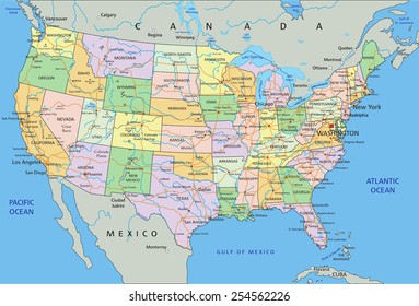
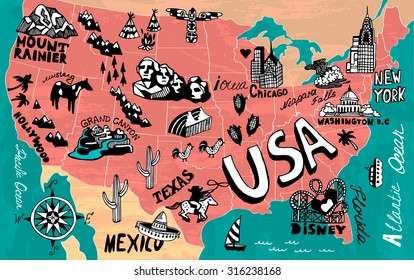
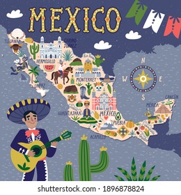
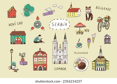
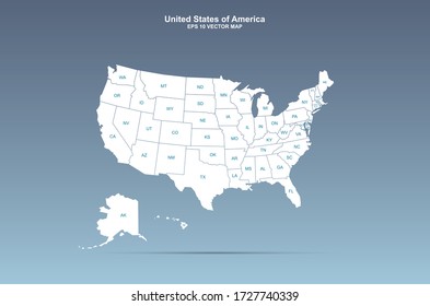
5263 maps Graphics and Designs
Maps Graphics to download
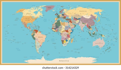
Related:
world maps
,
base maps
,
world livestock maps
Sort by
Most relevant
Sponsored results by
Get 15% off with code: VEXELS15
Show more
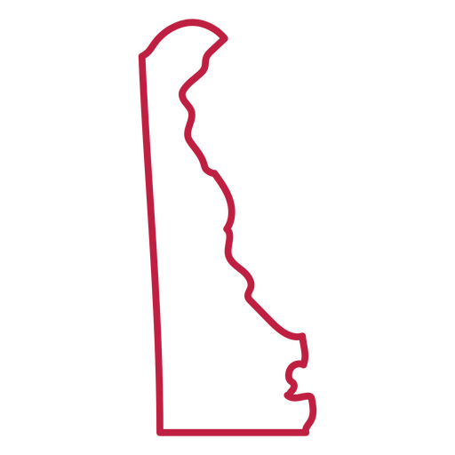
Delaware usa map stroke PNG Design
Choose a folder
All favorites
Create new
Save
Delaware usa map stroke PNG Design
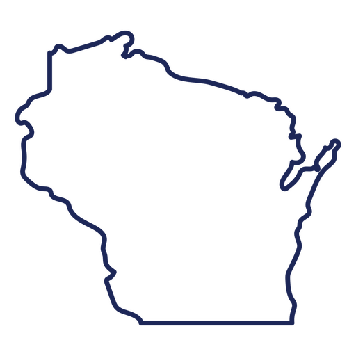
Wisconsin state stroke map PNG Design
Choose a folder
All favorites
Create new
Save
Wisconsin state stroke map PNG Design
Brain sparkle color stroke PNG Design
Choose a folder
All favorites
Create new
Save
Brain sparkle color stroke PNG Design
Pink letter V mandala design PNG Design
Choose a folder
All favorites
Create new
Save
Pink letter V mandala design PNG Design
Cute pink heart flat PNG Design
Choose a folder
All favorites
Create new
Save
Cute pink heart flat PNG Design
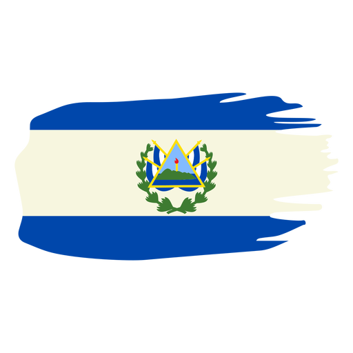
El salvador brushy flag design PNG Design
Choose a folder
All favorites
Create new
Save
El salvador brushy flag design PNG Design
Premium
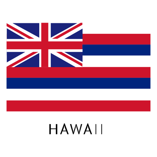
Hawaii state flag PNG Design
Choose a folder
All favorites
Create new
Save
Hawaii state flag PNG Design
Premium
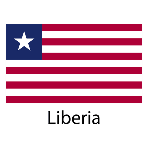
Liberia national flag PNG Design
Choose a folder
All favorites
Create new
Save
Liberia national flag PNG Design
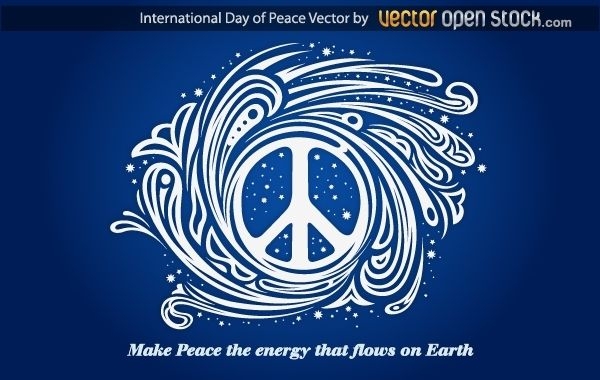
International day of peace
Choose a folder
All favorites
Create new
Save
International day of peace
Snowman face flat PNG Design
Choose a folder
All favorites
Create new
Save
Snowman face flat PNG Design
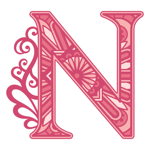
Pink letter N mandala alphabet PNG Design
Choose a folder
All favorites
Create new
Save
Pink letter N mandala alphabet PNG Design
Pink letter R mandala PNG Design
Choose a folder
All favorites
Create new
Save
Pink letter R mandala PNG Design
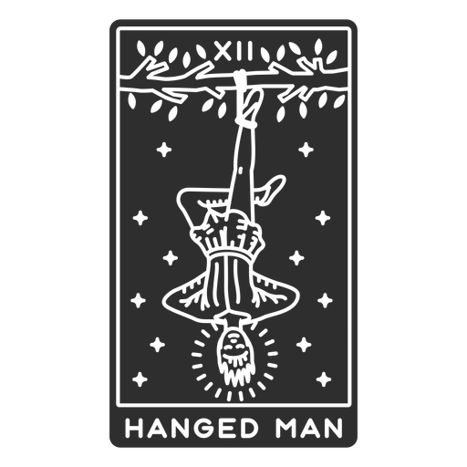
Tarot card hanged man cut out PNG Design
Choose a folder
All favorites
Create new
Save
Tarot card hanged man cut out PNG Design
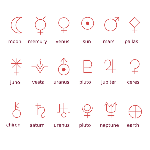
Zodiac planet symbols PNG Design
Choose a folder
All favorites
Create new
Save
Zodiac planet symbols PNG Design
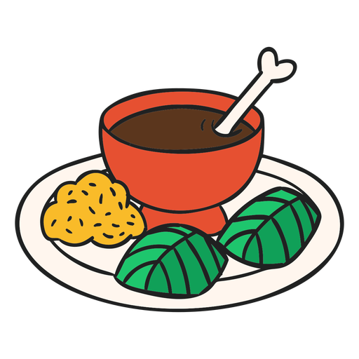
Guatemala pepian flat PNG Design
Choose a folder
All favorites
Create new
Save
Guatemala pepian flat PNG Design
Premium
Earth heart icon PNG Design
Choose a folder
All favorites
Create new
Save
Earth heart icon PNG Design
Premium
Planet earth illustration PNG Design
Choose a folder
All favorites
Create new
Save
Planet earth illustration PNG Design
Premium
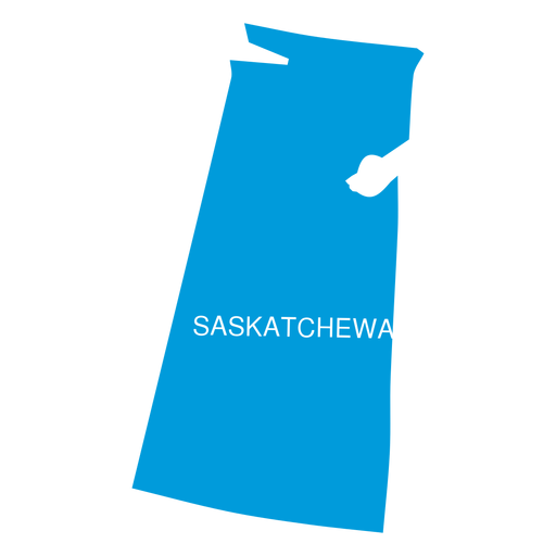
Saskatchewan province map PNG Design
Choose a folder
All favorites
Create new
Save
Saskatchewan province map PNG Design
Premium
Tlaxcala state map PNG Design
Choose a folder
All favorites
Create new
Save
Tlaxcala state map PNG Design
Premium
Earth round icon PNG Design
Choose a folder
All favorites
Create new
Save
Earth round icon PNG Design
Premium
Skateboarding jump Rolling PNG Design
Choose a folder
All favorites
Create new
Save
Skateboarding jump Rolling PNG Design
CRYSTAL BLUE PLANET
Choose a folder
All favorites
Create new
Save
CRYSTAL BLUE PLANET
Fleur de lis simple silhouette PNG Design
Choose a folder
All favorites
Create new
Save
Fleur de lis simple silhouette PNG Design
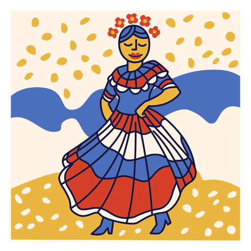
Merengue dominican republic doodle PNG Design
Choose a folder
All favorites
Create new
Save
Merengue dominican republic doodle PNG Design
Zodiac badge planet aquarius stroke PNG Design
Choose a folder
All favorites
Create new
Save
Zodiac badge planet aquarius stroke PNG Design
Premium
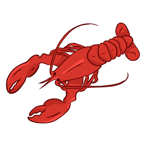
Lobster claw antenna tail illustration PNG Design
Choose a folder
All favorites
Create new
Save
Lobster claw antenna tail illustration PNG Design
Premium
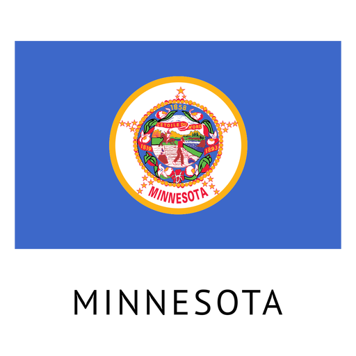
Minnesota state flag PNG Design
Choose a folder
All favorites
Create new
Save
Minnesota state flag PNG Design
Premium
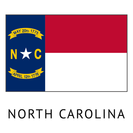
North carolina state flag PNG Design
Choose a folder
All favorites
Create new
Save
North carolina state flag PNG Design
South Carolina usa map silhouette PNG Design
Choose a folder
All favorites
Create new
Save
South Carolina usa map silhouette PNG Design
Garden trowel filled stroke PNG Design
Choose a folder
All favorites
Create new
Save
Garden trowel filled stroke PNG Design
Zodiac badge planet taurus stroke PNG Design
Choose a folder
All favorites
Create new
Save
Zodiac badge planet taurus stroke PNG Design
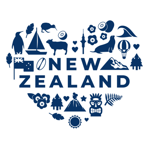
New zealand heart PNG Design
Choose a folder
All favorites
Create new
Save
New zealand heart PNG Design
Covid 19 earth mask cartoon PNG Design
Choose a folder
All favorites
Create new
Save
Covid 19 earth mask cartoon PNG Design
Premium
Location pin colored stroke icon PNG Design
Choose a folder
All favorites
Create new
Save
Location pin colored stroke icon PNG Design
Premium
Iowa state flag PNG Design
Choose a folder
All favorites
Create new
Save
Iowa state flag PNG Design
Premium
Macau national flag PNG Design
Choose a folder
All favorites
Create new
Save
Macau national flag PNG Design
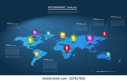
Continental agent marker world map PNG Design
Choose a folder
All favorites
Create new
Save
Continental agent marker world map PNG Design
Premium
Gadgets interacting social networks PNG Design
Choose a folder
All favorites
Create new
Save
Gadgets interacting social networks PNG Design
Premium
Alles gute zum geburtstag red and orange PNG Design
Choose a folder
All favorites
Create new
Save
Alles gute zum geburtstag red and orange PNG Design
Premium
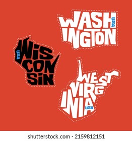
The west virginia map with the words west virginia on it PNG Design
Choose a folder
All favorites
Create new
Save
The west virginia map with the words west virginia on it PNG Design
Arkansas usa map silhouette PNG Design
Choose a folder
All favorites
Create new
Save
Arkansas usa map silhouette PNG Design
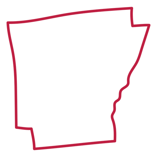
Arkansas usa map stroke PNG Design
Choose a folder
All favorites
Create new
Save
Arkansas usa map stroke PNG Design
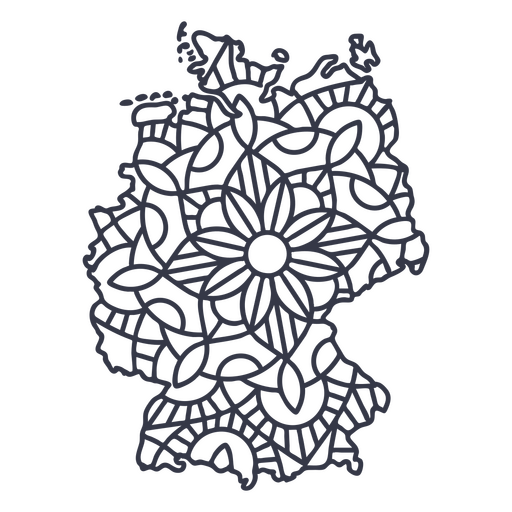
Germany map silhouette mandala stroke PNG Design
Choose a folder
All favorites
Create new
Save
Germany map silhouette mandala stroke PNG Design
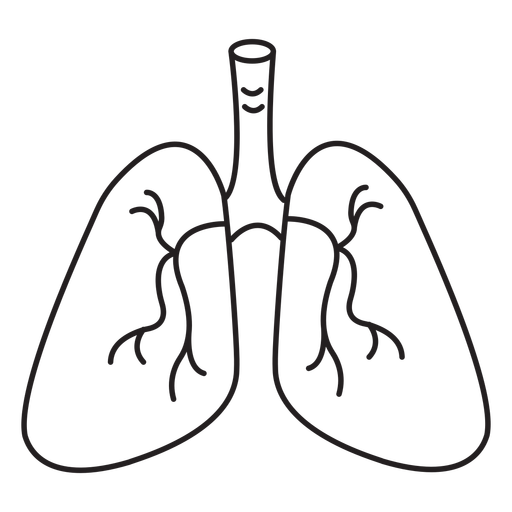
Respiratory system stroke PNG Design
Choose a folder
All favorites
Create new
Save
Respiratory system stroke PNG Design
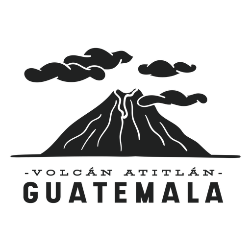
Atitlan volcano guatemala cut out PNG Design
Choose a folder
All favorites
Create new
Save
Atitlan volcano guatemala cut out PNG Design
Horchata honduras illustration PNG Design
Choose a folder
All favorites
Create new
Save
Horchata honduras illustration PNG Design
Premium
Toronto landscape on maple leaf flat PNG Design
Choose a folder
All favorites
Create new
Save
Toronto landscape on maple leaf flat PNG Design
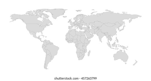
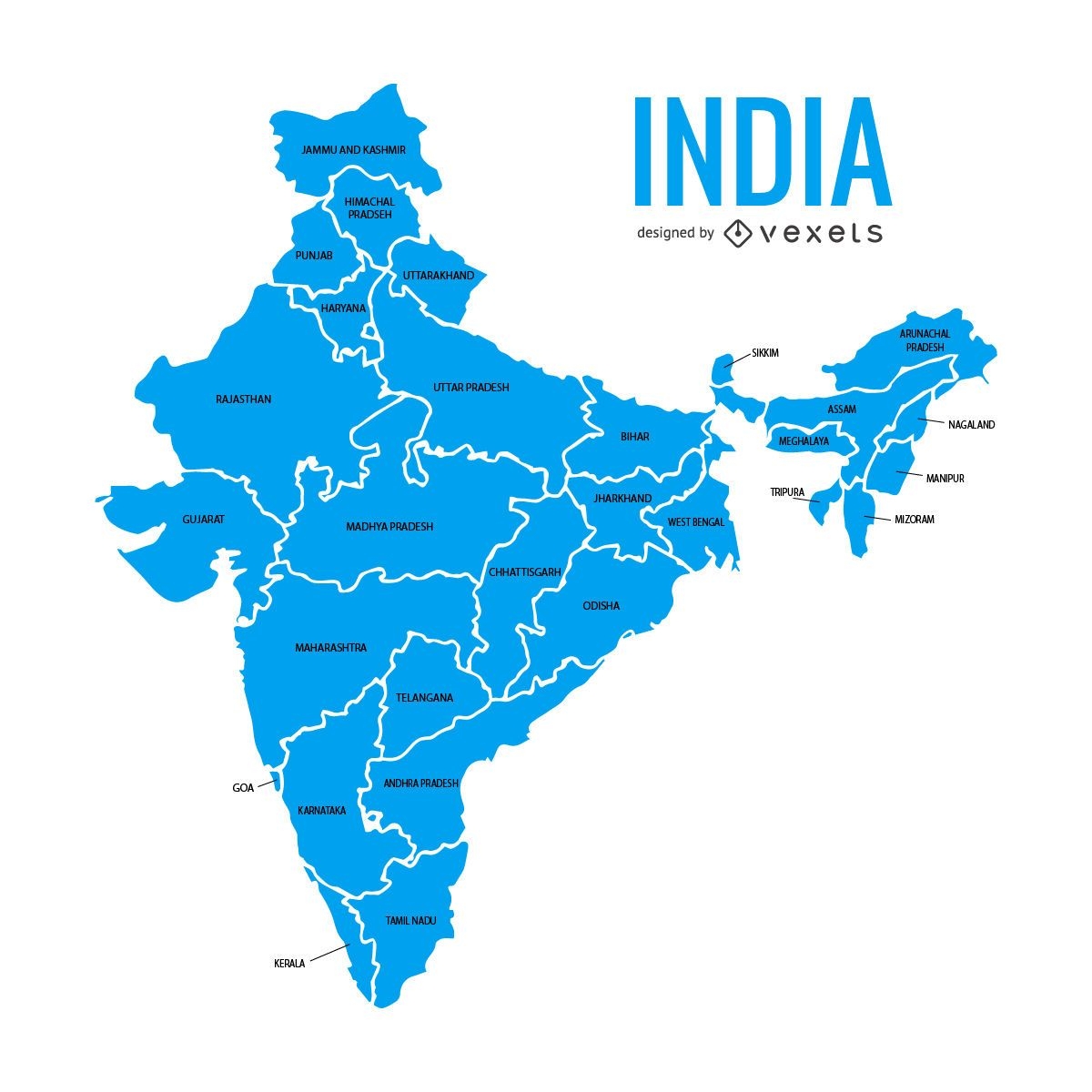
India states map
Choose a folder
All favorites
Create new
Save
India states map
Premium
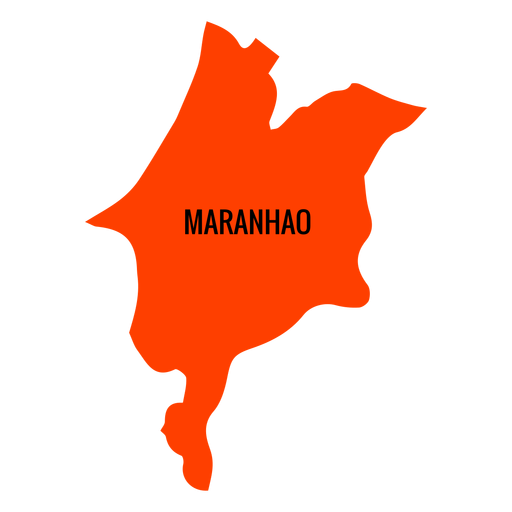
Maranhao state map PNG Design
Choose a folder
All favorites
Create new
Save
Maranhao state map PNG Design
Premium
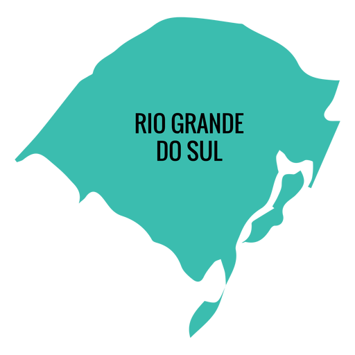
Rio grande do sul state map PNG Design
Choose a folder
All favorites
Create new
Save
Rio grande do sul state map PNG Design
Boost Your Business
With The Leading Graphic Platform For Merch.
SEE PLANS
Next
of 106
prev page
next page