Design Library
New Merch Designs
T-Shirts
Vectors
Trending Merch Designs
PNGs & SVGs
Mockups
T-Shirt PSD Templates
Explore Designs
KDP Designs
Posters
Mugs
Phone Cases
Tote Bags
Pillows
Design Tools
Merch Designer
New!
Mockup Generator
AI Design Generator
Image Vectorizer
Quote Generator
T-Shirt Maker (Old)
Resources
Merch Digest
Blog
Help Center
Learn About Merch
Feedback
Corporate Solutions
Enterprise
API Access
Design Studio
Bulk Design Production
Pricing
Loading...
Sign Up
Login
All
maps
Design Library
New Merch Designs
T-Shirts
Vectors
Trending Merch Designs
PNGs & SVGs
Mockups
T-Shirt PSD Templates
Explore Designs
KDP Designs
Posters
Mugs
Phone Cases
Tote Bags
Pillows
Design Tools
Merch Designer
New!
Mockup Generator
AI Design Generator
Image Vectorizer
Quote Generator
T-Shirt Maker (Old)
Resources
Merch Digest
Blog
Help Center
Learn About Merch
Feedback
Corporate Solutions
Enterprise
API Access
Design Studio
Bulk Design Production
PLANS
All
maps
5263 maps Graphics and Designs
Maps Graphics to download
Related:
world maps
,
base maps
,
world livestock maps
Sort by
Most relevant
Sponsored results by
Get 15% off with code: VEXELS15
Show more
Premium
Virginia state flag PNG Design
Choose a folder
All favorites
Create new
Save
Virginia state flag PNG Design
Premium
Syria national flag PNG Design
Choose a folder
All favorites
Create new
Save
Syria national flag PNG Design
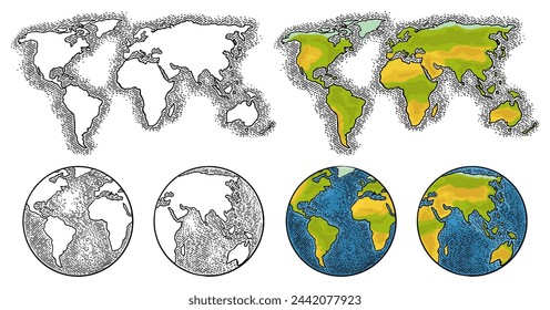
Doodle globe idea bulb PNG Design
Choose a folder
All favorites
Create new
Save
Doodle globe idea bulb PNG Design
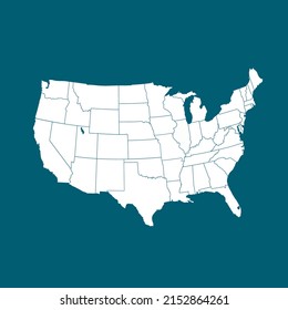
Kansas usa map silhouette PNG Design
Choose a folder
All favorites
Create new
Save
Kansas usa map silhouette PNG Design
Wyoming usa map silhouette PNG Design
Choose a folder
All favorites
Create new
Save
Wyoming usa map silhouette PNG Design
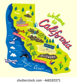
California state map color stroke PNG Design
Choose a folder
All favorites
Create new
Save
California state map color stroke PNG Design
Vermont state stroke map PNG Design
Choose a folder
All favorites
Create new
Save
Vermont state stroke map PNG Design
Tarot card the empress cut out PNG Design
Choose a folder
All favorites
Create new
Save
Tarot card the empress cut out PNG Design
Used green whisk glossy PNG Design
Choose a folder
All favorites
Create new
Save
Used green whisk glossy PNG Design
Antigua guatemala cut out PNG Design
Choose a folder
All favorites
Create new
Save
Antigua guatemala cut out PNG Design
Bayahibe rose monochrome doodle PNG Design
Choose a folder
All favorites
Create new
Save
Bayahibe rose monochrome doodle PNG Design
Ecuador brushy flag design PNG Design
Choose a folder
All favorites
Create new
Save
Ecuador brushy flag design PNG Design
Premium
Andhra pradesh state map PNG Design
Choose a folder
All favorites
Create new
Save
Andhra pradesh state map PNG Design
Premium
Portugal flag badge PNG Design
Choose a folder
All favorites
Create new
Save
Portugal flag badge PNG Design
Premium
Turkmenistan national flag PNG Design
Choose a folder
All favorites
Create new
Save
Turkmenistan national flag PNG Design
Hawaii usa map stroke PNG Design
Choose a folder
All favorites
Create new
Save
Hawaii usa map stroke PNG Design
Sunshine color stroke PNG Design
Choose a folder
All favorites
Create new
Save
Sunshine color stroke PNG Design
Mercury planet illustration PNG Design
Choose a folder
All favorites
Create new
Save
Mercury planet illustration PNG Design
Venus planet illustration PNG Design
Choose a folder
All favorites
Create new
Save
Venus planet illustration PNG Design
Premium
Italy flag language icon circle PNG Design
Choose a folder
All favorites
Create new
Save
Italy flag language icon circle PNG Design
Premium
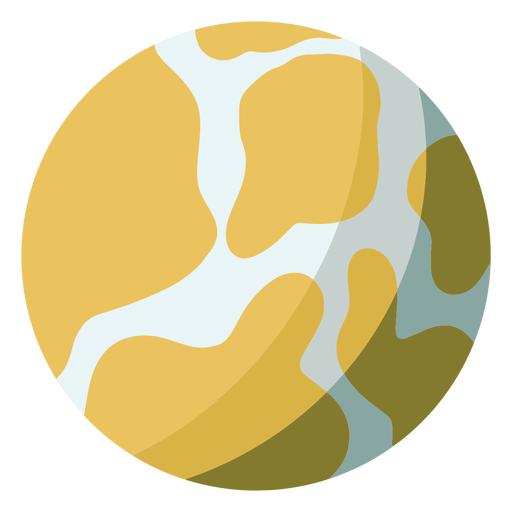
Basic earth icon PNG Design
Choose a folder
All favorites
Create new
Save
Basic earth icon PNG Design
Premium
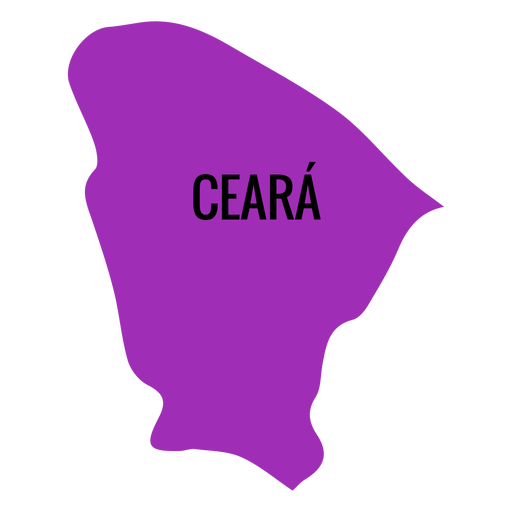
Ceara state map PNG Design
Choose a folder
All favorites
Create new
Save
Ceara state map PNG Design
Premium
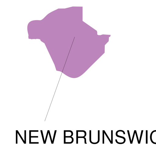
New brunswick province map PNG Design
Choose a folder
All favorites
Create new
Save
New brunswick province map PNG Design
Premium
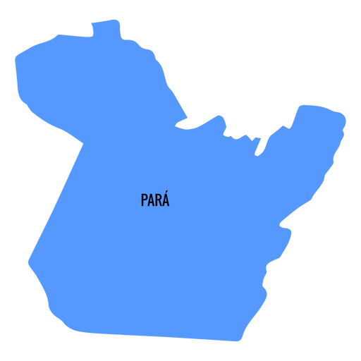
Para state map PNG Design
Choose a folder
All favorites
Create new
Save
Para state map PNG Design
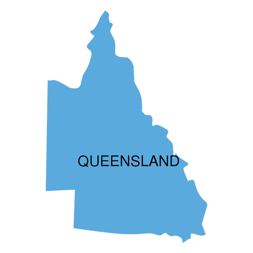
Premium
Queensland state map PNG Design
Choose a folder
All favorites
Create new
Save
Queensland state map PNG Design
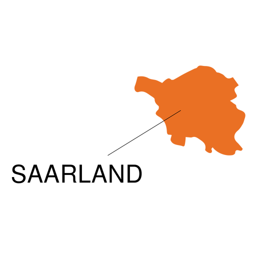
Premium
Saarland state map PNG Design
Choose a folder
All favorites
Create new
Save
Saarland state map PNG Design
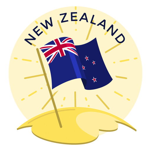
Premium
New zealand flag PNG Design
Choose a folder
All favorites
Create new
Save
New zealand flag PNG Design
Premium
France flag badge PNG Design
Choose a folder
All favorites
Create new
Save
France flag badge PNG Design
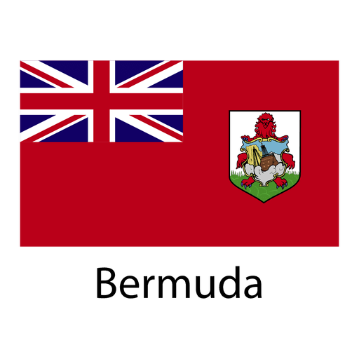
Premium
Bermuda national flag PNG Design
Choose a folder
All favorites
Create new
Save
Bermuda national flag PNG Design
Premium
Saint lucia national flag PNG Design
Choose a folder
All favorites
Create new
Save
Saint lucia national flag PNG Design
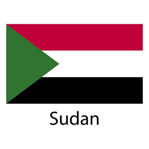
Premium
Sudan national flag PNG Design
Choose a folder
All favorites
Create new
Save
Sudan national flag PNG Design
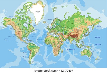
Africa flat continents map PNG Design
Choose a folder
All favorites
Create new
Save
Africa flat continents map PNG Design
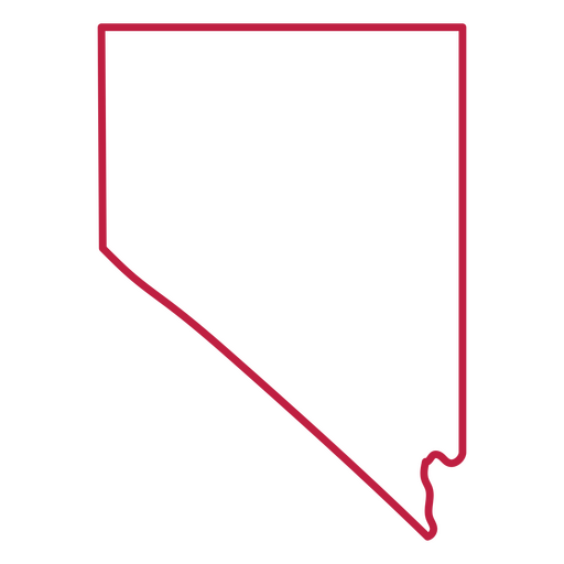
Nevada state stroke map PNG Design
Choose a folder
All favorites
Create new
Save
Nevada state stroke map PNG Design
Mental health is a priority stroke PNG Design
Choose a folder
All favorites
Create new
Save
Mental health is a priority stroke PNG Design
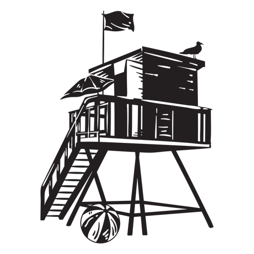
Lifeguard tower beach PNG Design
Choose a folder
All favorites
Create new
Save
Lifeguard tower beach PNG Design
Zodiac badge planet leo stroke PNG Design
Choose a folder
All favorites
Create new
Save
Zodiac badge planet leo stroke PNG Design
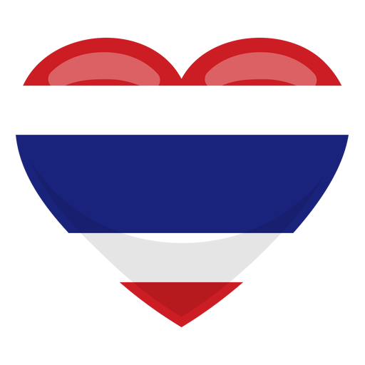
Premium
Thailand heart flag PNG Design
Choose a folder
All favorites
Create new
Save
Thailand heart flag PNG Design
Premium
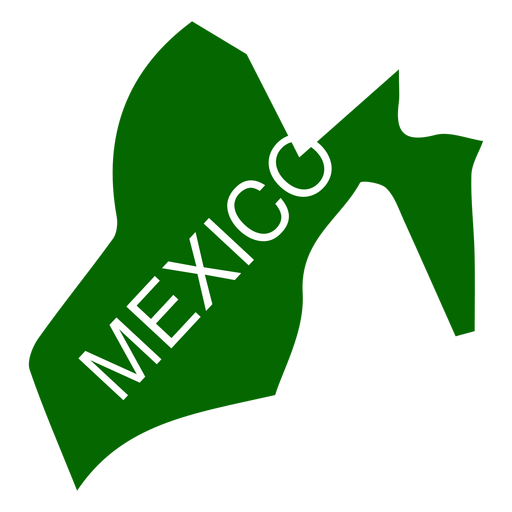
Mexico state map PNG Design
Choose a folder
All favorites
Create new
Save
Mexico state map PNG Design
Premium
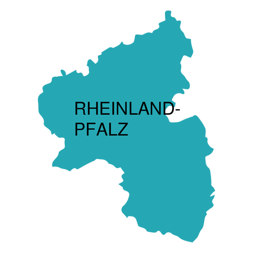
Rhineland palatinate state map PNG Design
Choose a folder
All favorites
Create new
Save
Rhineland palatinate state map PNG Design
Premium
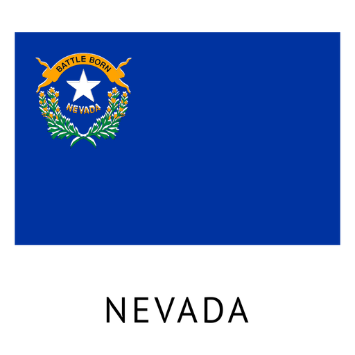
Nevada state flag PNG Design
Choose a folder
All favorites
Create new
Save
Nevada state flag PNG Design
Premium
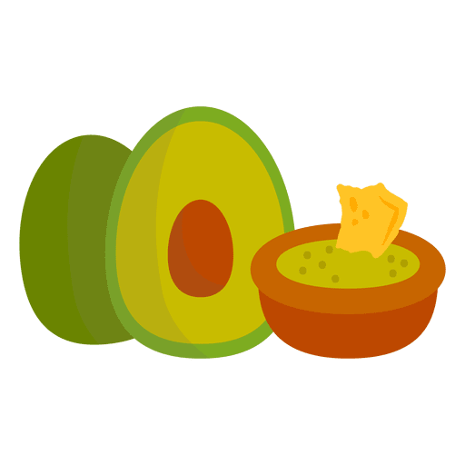
Guacamole cartoon PNG Design
Choose a folder
All favorites
Create new
Save
Guacamole cartoon PNG Design
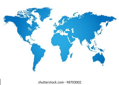
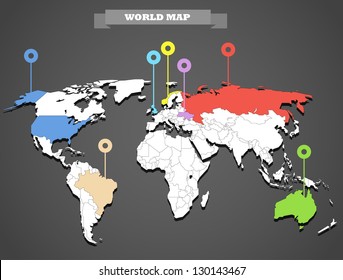
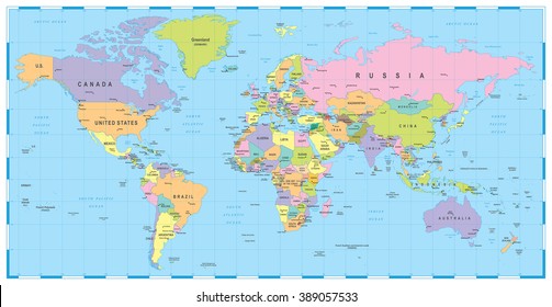
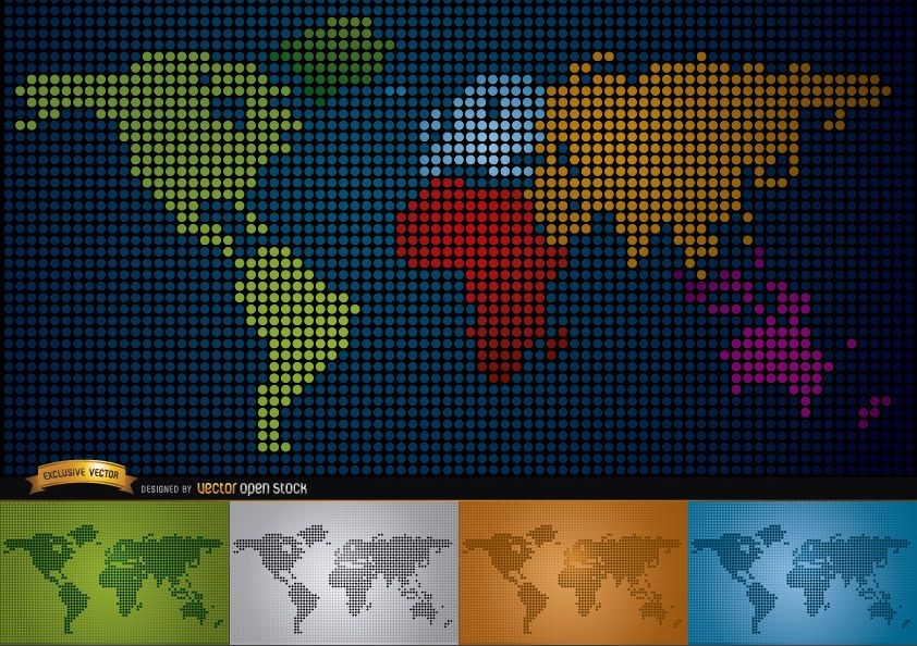
Digital map of world with continents
Choose a folder
All favorites
Create new
Save
Digital map of world with continents
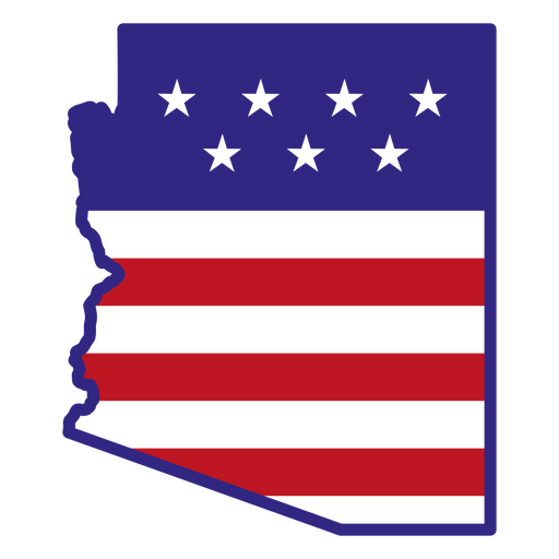
Arizona color stroke states PNG Design
Choose a folder
All favorites
Create new
Save
Arizona color stroke states PNG Design
Kitchen spatula silhouette PNG Design
Choose a folder
All favorites
Create new
Save
Kitchen spatula silhouette PNG Design
Beach day cut out PNG Design
Choose a folder
All favorites
Create new
Save
Beach day cut out PNG Design
Heart badge sticker PNG Design
Choose a folder
All favorites
Create new
Save
Heart badge sticker PNG Design
Premium
Greece heart flag PNG Design
Choose a folder
All favorites
Create new
Save
Greece heart flag PNG Design
Premium
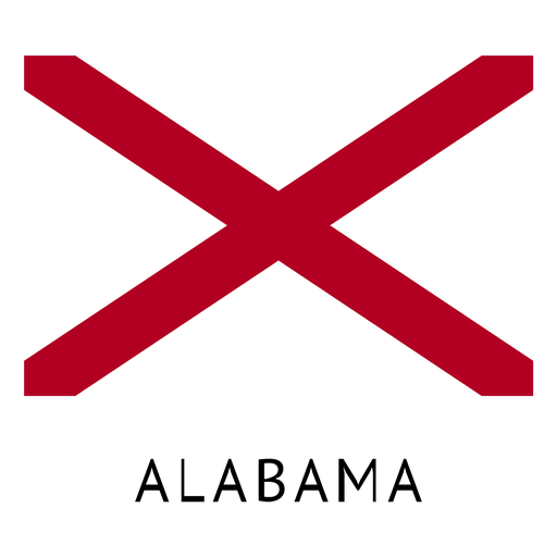
Alabama state flag PNG Design
Choose a folder
All favorites
Create new
Save
Alabama state flag PNG Design
Premium
Globe bulb icon 3 PNG Design
Choose a folder
All favorites
Create new
Save
Globe bulb icon 3 PNG Design
Premium
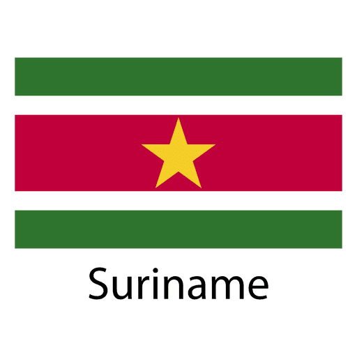
Suriname national flag PNG Design
Choose a folder
All favorites
Create new
Save
Suriname national flag PNG Design
Boost Your Business
With The Leading Graphic Platform For Merch.
SEE PLANS
Next
of 106
prev page
next page