Design Library
New Merch Designs
T-Shirts
Vectors
Trending Merch Designs
PNGs & SVGs
Mockups
T-Shirt PSD Templates
Explore Designs
KDP Designs
Posters
Mugs
Phone Cases
Tote Bags
Pillows
Design Tools
Merch Designer
New!
Mockup Generator
AI Design Generator
Image Vectorizer
Quote Generator
T-Shirt Maker (Old)
Resources
Merch Digest
Blog
Help Center
Learn About Merch
Feedback
Corporate Solutions
Enterprise
API Access
Design Studio
Bulk Design Production
Pricing
Loading...
Sign Up
Login
All
maps
Design Library
New Merch Designs
T-Shirts
Vectors
Trending Merch Designs
PNGs & SVGs
Mockups
T-Shirt PSD Templates
Explore Designs
KDP Designs
Posters
Mugs
Phone Cases
Tote Bags
Pillows
Design Tools
Merch Designer
New!
Mockup Generator
AI Design Generator
Image Vectorizer
Quote Generator
T-Shirt Maker (Old)
Resources
Merch Digest
Blog
Help Center
Learn About Merch
Feedback
Corporate Solutions
Enterprise
API Access
Design Studio
Bulk Design Production
PLANS
All
maps
5263 maps Graphics and Designs
Maps Graphics to download
Related:
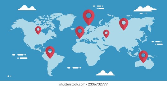
world maps
,
base maps
,
world livestock maps
Sort by
Most relevant
Sponsored results by
Get 15% off with code: VEXELS15
Show more
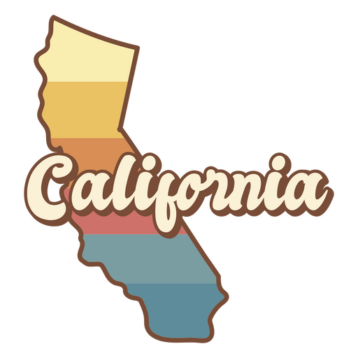
Premium
The state of california is shown PNG Design
Choose a folder
All favorites
Create new
Save
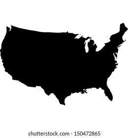
The state of california is shown PNG Design
Alaska usa map silhouette PNG Design
Choose a folder
All favorites
Create new
Save
Alaska usa map silhouette PNG Design
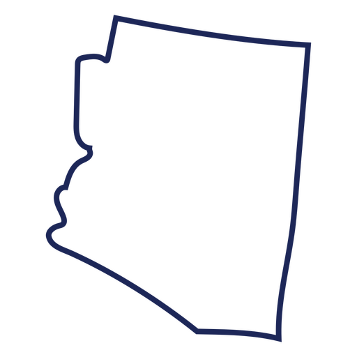
Arizona usa map stroke PNG Design
Choose a folder
All favorites
Create new
Save
Arizona usa map stroke PNG Design
Thin sword filled stroke PNG Design
Choose a folder
All favorites
Create new
Save
Thin sword filled stroke PNG Design
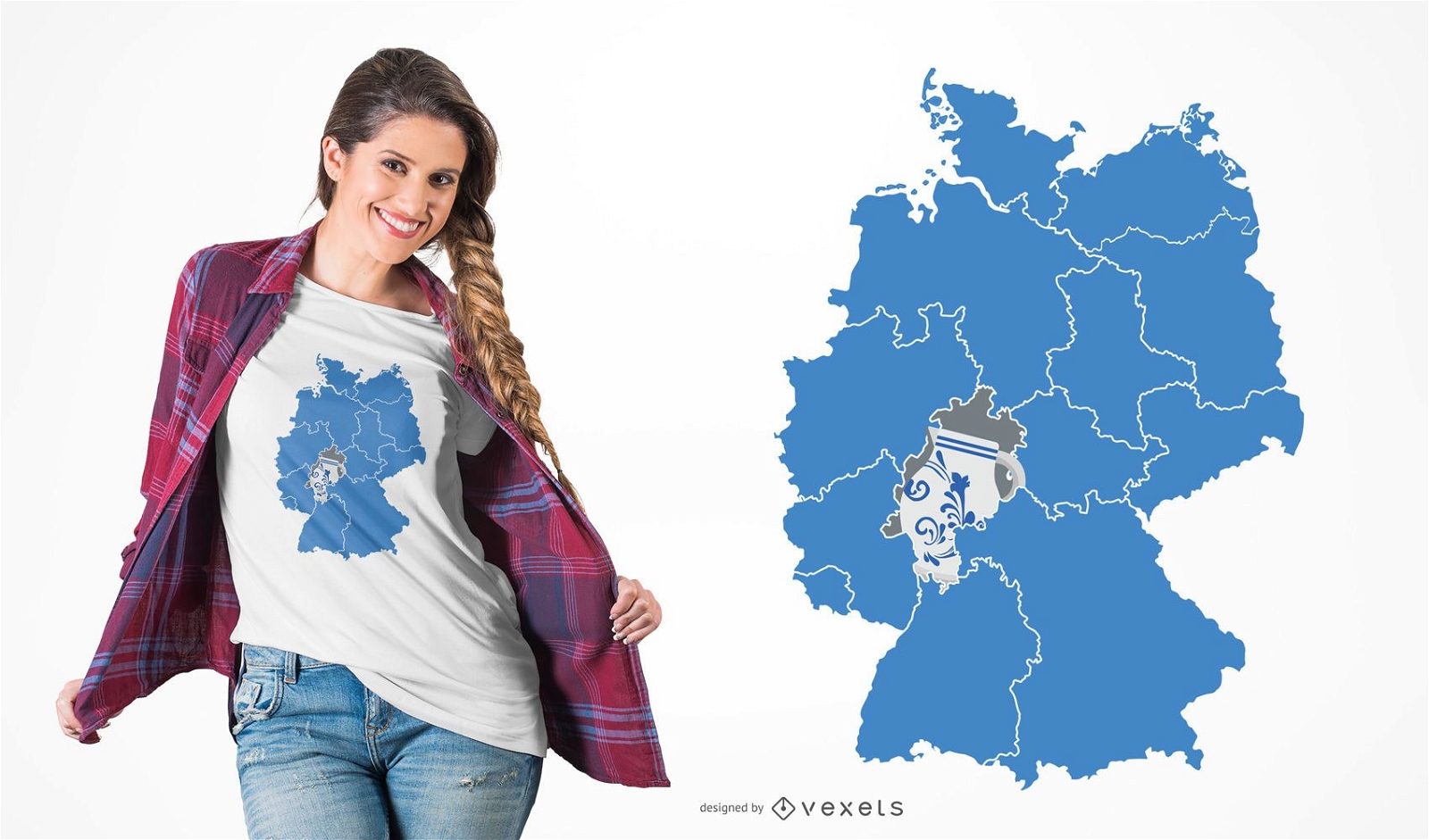
German Content
Print ready
for Merch
Hessen Pottery T-shirt Design
Choose a folder
All favorites
Create new
Save
Hessen Pottery T-shirt Design
Zodiac badge planet sagittarius stroke PNG Design
Choose a folder
All favorites
Create new
Save
Zodiac badge planet sagittarius stroke PNG Design
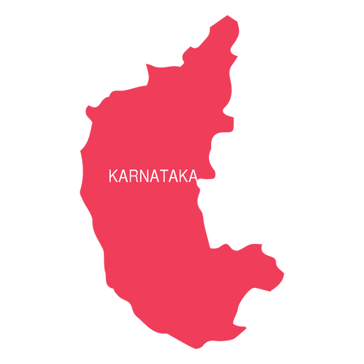
Premium
Karnataka state map PNG Design
Choose a folder
All favorites
Create new
Save
Karnataka state map PNG Design
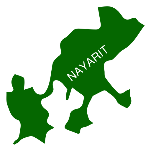
Premium
Nayarit state map PNG Design
Choose a folder
All favorites
Create new
Save
Nayarit state map PNG Design
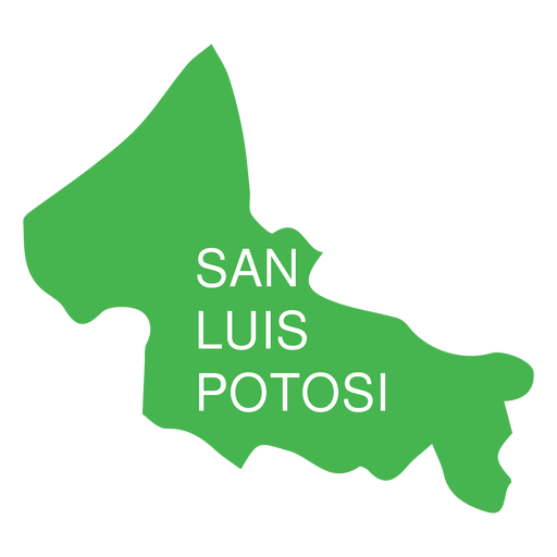
Premium
San luis potosi state map PNG Design
Choose a folder
All favorites
Create new
Save
San luis potosi state map PNG Design
Premium
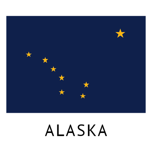
Alaska state flag PNG Design
Choose a folder
All favorites
Create new
Save
Alaska state flag PNG Design
Premium
United arab emirates national flag PNG Design
Choose a folder
All favorites
Create new
Save
United arab emirates national flag PNG Design
Premium
Tennessee state logo PNG Design
Choose a folder
All favorites
Create new
Save
Tennessee state logo PNG Design
North carolina usa map silhouette PNG Design
Choose a folder
All favorites
Create new
Save
North carolina usa map silhouette PNG Design
Rhode Island usa map silhouette PNG Design
Choose a folder
All favorites
Create new
Save
Rhode Island usa map silhouette PNG Design
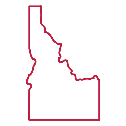
Idaho usa map stroke PNG Design
Choose a folder
All favorites
Create new
Save
Idaho usa map stroke PNG Design
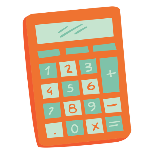
Orange calculator semi flat PNG Design
Choose a folder
All favorites
Create new
Save
Orange calculator semi flat PNG Design
Premium
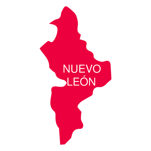
Nuevo leon state map PNG Design
Choose a folder
All favorites
Create new
Save
Nuevo leon state map PNG Design
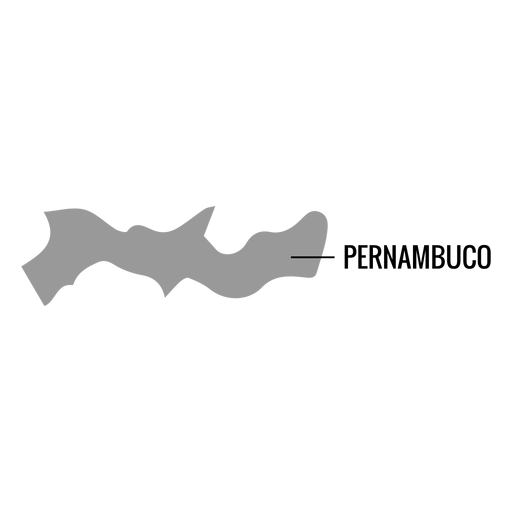
Premium
Pernambuco state map PNG Design
Choose a folder
All favorites
Create new
Save
Pernambuco state map PNG Design
Premium
Argentina flag badge PNG Design
Choose a folder
All favorites
Create new
Save
Argentina flag badge PNG Design
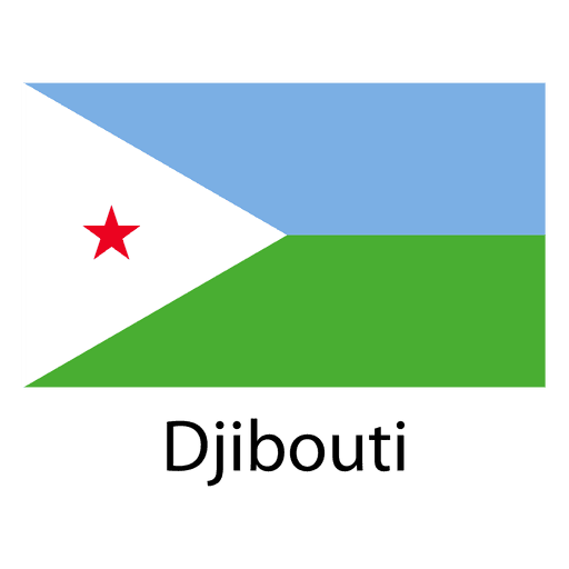
Premium
Djibouti national flag PNG Design
Choose a folder
All favorites
Create new
Save
Djibouti national flag PNG Design
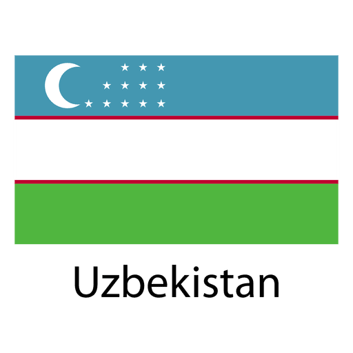
Premium
Uzbekistan national flag PNG Design
Choose a folder
All favorites
Create new
Save
Uzbekistan national flag PNG Design
United Kingdom pixelated flag
Choose a folder
All favorites
Create new
Save
United Kingdom pixelated flag
Indiana usa map silhouette PNG Design
Choose a folder
All favorites
Create new
Save
Indiana usa map silhouette PNG Design
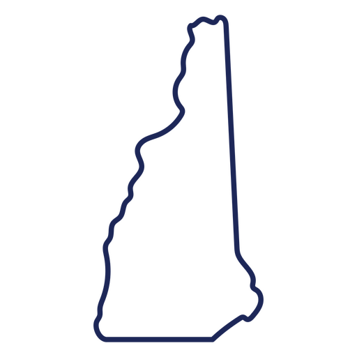
New Hampshire state stroke map PNG Design
Choose a folder
All favorites
Create new
Save
New Hampshire state stroke map PNG Design
Pink letter T mandala PNG Design
Choose a folder
All favorites
Create new
Save
Pink letter T mandala PNG Design
Blue witch hat semi flat PNG Design
Choose a folder
All favorites
Create new
Save
Blue witch hat semi flat PNG Design
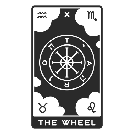
Tarot card the wheel filled stroke PNG Design
Choose a folder
All favorites
Create new
Save
Tarot card the wheel filled stroke PNG Design
Premium
Praying hands with rosary beads color stroke PNG Design
Choose a folder
All favorites
Create new
Save
Praying hands with rosary beads color stroke PNG Design
Praying hands color stroke PNG Design
Choose a folder
All favorites
Create new
Save
Praying hands color stroke PNG Design
Premium
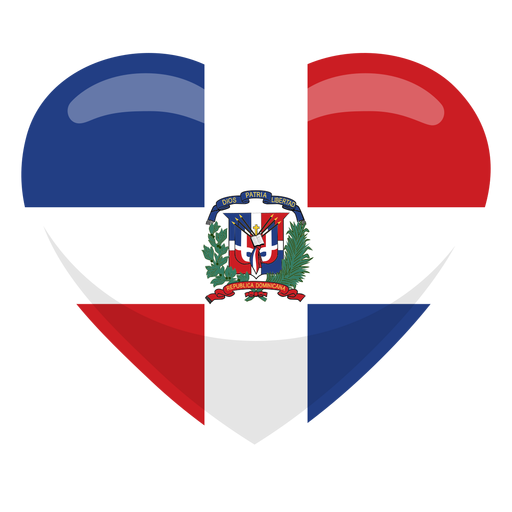
Dominican republic heart flag PNG Design
Choose a folder
All favorites
Create new
Save
Dominican republic heart flag PNG Design
Premium
Aguascalientes state map PNG Design
Choose a folder
All favorites
Create new
Save
Aguascalientes state map PNG Design
Premium
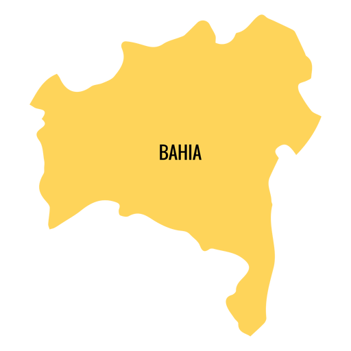
Bahia state map PNG Design
Choose a folder
All favorites
Create new
Save
Bahia state map PNG Design
Premium
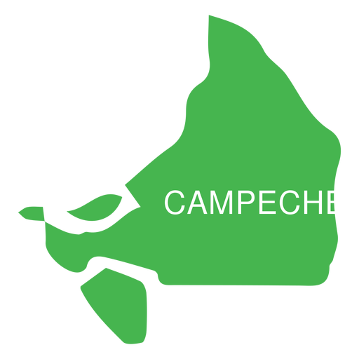
Campeche state map PNG Design
Choose a folder
All favorites
Create new
Save
Campeche state map PNG Design
Premium
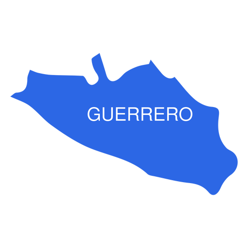
Guerrero state map PNG Design
Choose a folder
All favorites
Create new
Save
Guerrero state map PNG Design
Premium
Hidalgo state map PNG Design
Choose a folder
All favorites
Create new
Save
Hidalgo state map PNG Design
Premium
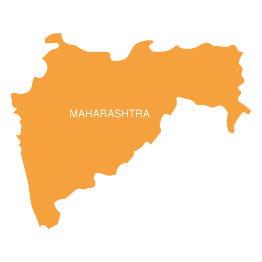
Maharashtra state map PNG Design
Choose a folder
All favorites
Create new
Save
Maharashtra state map PNG Design
Premium
Morelos state map PNG Design
Choose a folder
All favorites
Create new
Save
Morelos state map PNG Design
Premium
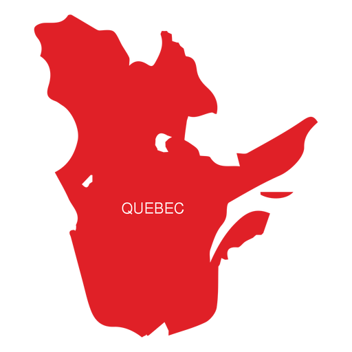
Quebec province map PNG Design
Choose a folder
All favorites
Create new
Save
Quebec province map PNG Design
Premium
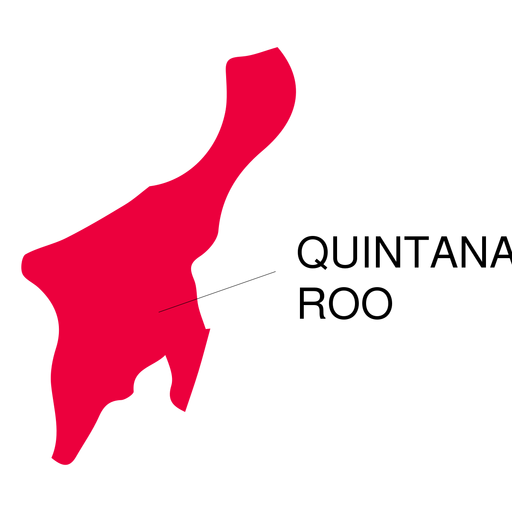
Quintana roo state map PNG Design
Choose a folder
All favorites
Create new
Save
Quintana roo state map PNG Design
Premium
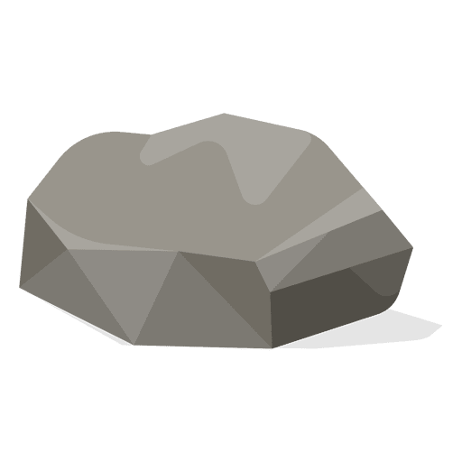
Earth stone illustration PNG Design
Choose a folder
All favorites
Create new
Save
Earth stone illustration PNG Design
Premium
Photography studio Flesh camera PNG Design
Choose a folder
All favorites
Create new
Save
Photography studio Flesh camera PNG Design
Premium
The words good luck to you in green PNG Design
Choose a folder
All favorites
Create new
Save
The words good luck to you in green PNG Design
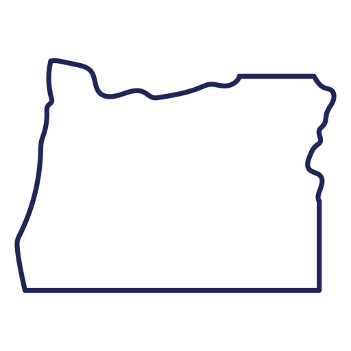
Oregon state stroke map PNG Design
Choose a folder
All favorites
Create new
Save
Oregon state stroke map PNG Design
Gameboy retro cartoon PNG Design
Choose a folder
All favorites
Create new
Save
Gameboy retro cartoon PNG Design
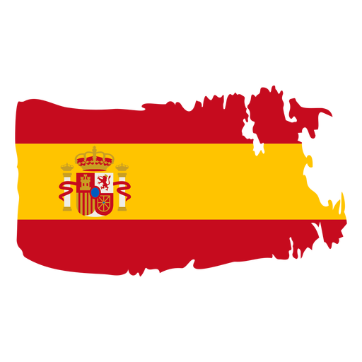
Spain brushy flag design PNG Design
Choose a folder
All favorites
Create new
Save
Spain brushy flag design PNG Design
Premium
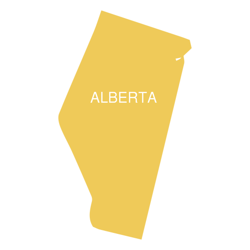
Alberta province map PNG Design
Choose a folder
All favorites
Create new
Save
Alberta province map PNG Design
Premium
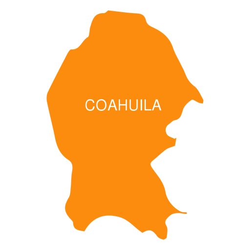
Coahuila de zaragoza state map PNG Design
Choose a folder
All favorites
Create new
Save
Coahuila de zaragoza state map PNG Design
Premium
Colima state map PNG Design
Choose a folder
All favorites
Create new
Save
Colima state map PNG Design
Premium
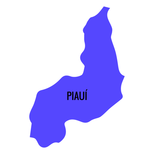
Piaui state map PNG Design
Choose a folder
All favorites
Create new
Save
Piaui state map PNG Design
Premium
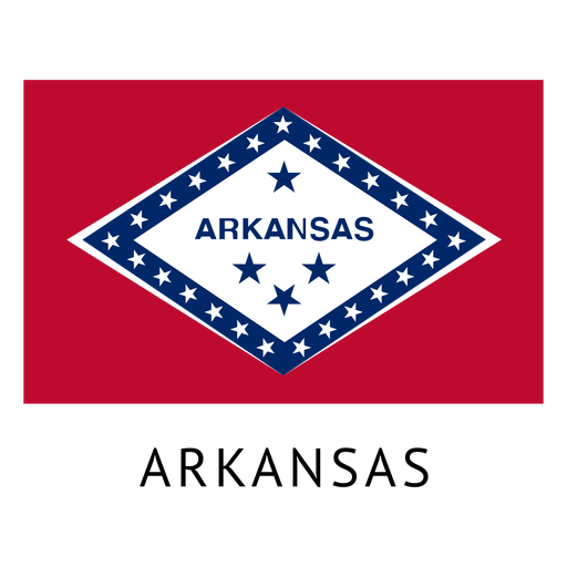
Arkansas state flag PNG Design
Choose a folder
All favorites
Create new
Save
Arkansas state flag PNG Design
Boost Your Business
With The Leading Graphic Platform For Merch.
SEE PLANS
Next
of 106
prev page
next page